Leaving the motorway at the Verrès tollgate, enter the roundabout and take the third exit and take the Strada Statale in the direction of Aosta. After 450m at the roundabout take the first exit and continue on the state road for another 600m to reach a crossroads with traffic lights: turn right where you will find a large car park 🅿️ in front of the restaurant-pizzeria "Il Girasole".
These directions are based on direct verification carried out at the time of surveying the route, so the information should be checked before embarking on the hike. We recommend using a GPS navigator or map app on your smartphone to get up-to-date and detailed directions.
Introduction
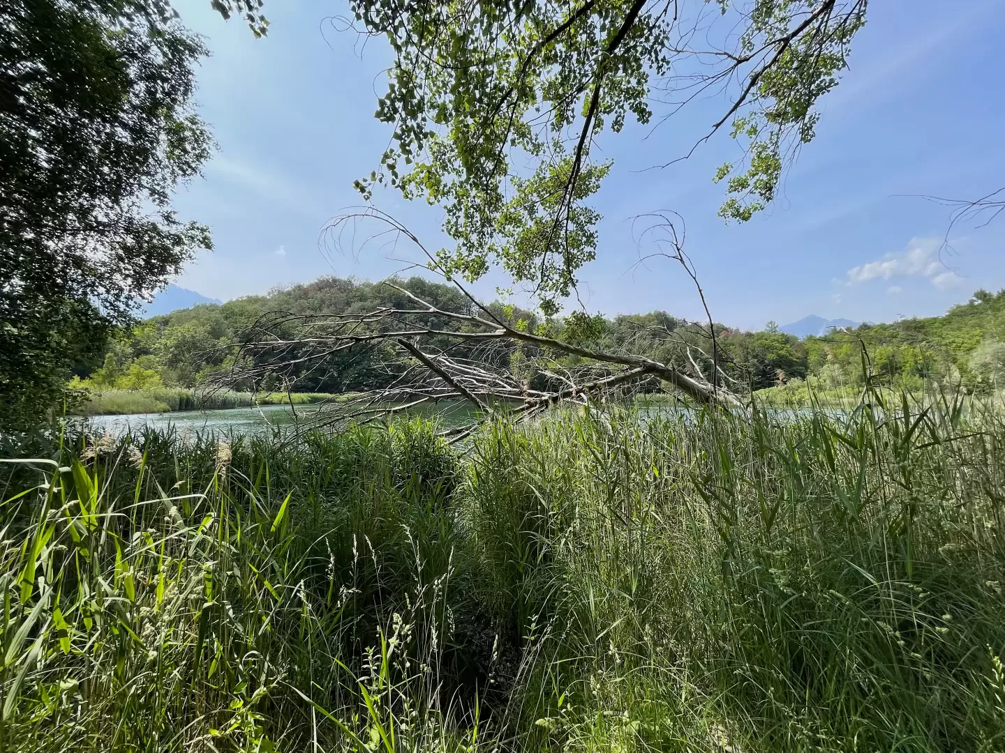
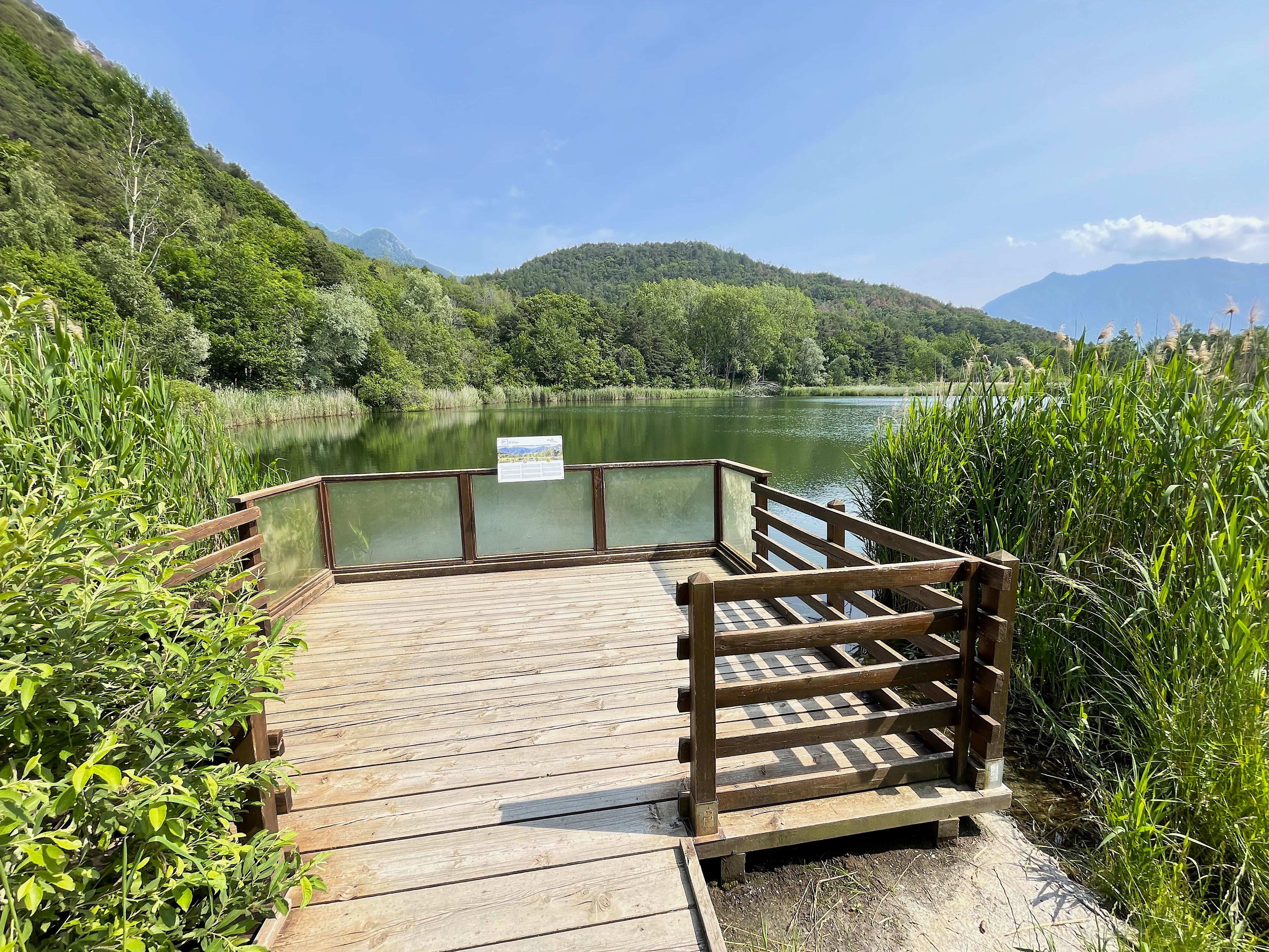
The Lac de Villa Nature Reserve was established in 1992 to protect a low- and medium-altitude lake environment that is rare in the region, characterised by glacial formations of green stones, originating from the old ocean floor, and surrounded by forest formations of chestnut and downy oaks. The vegetation of the shores presents a sequence of willows, alders, poplars and swamp reed belts, particularly extensive in the western area. The peaty areas around the lake are home to fibrous clover and sundew, while the lake itself is home to the only station of white water lilies in the Aosta Valley. The dry grasslands to the north-west provide habitat for wild orchid species. This nature reserve is an important part of the Natura 2000 European ecological network and is home to common birds such as robins and blackbirds, as well as rare birds such as the nuthatch. In addition, the lake is an important breeding site for amphibians such as the common toad and the green frog.
The hike starting from Torille becomes an interesting excursion through natural environments typical of the lower Aosta Valley. Its brevity and relatively low altitude make it a practicable excursion all year round. A circular route around Lake Villa with information panels is available for visiting the reserve.
Description
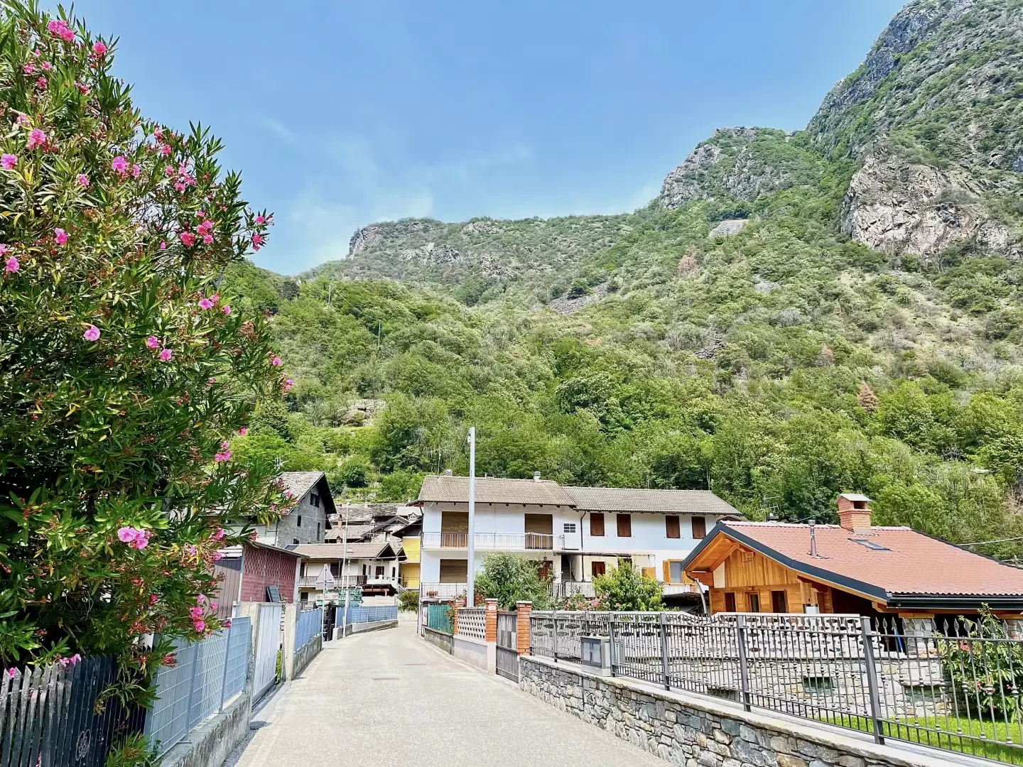
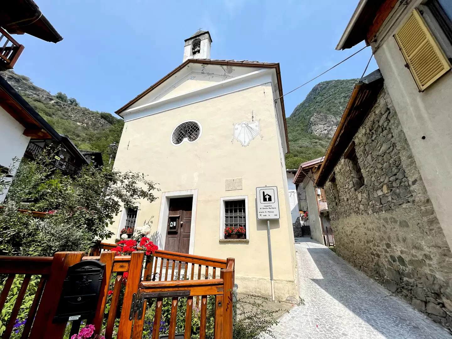
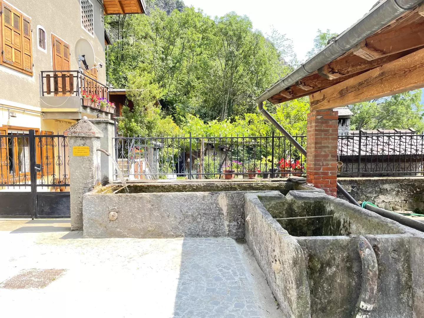
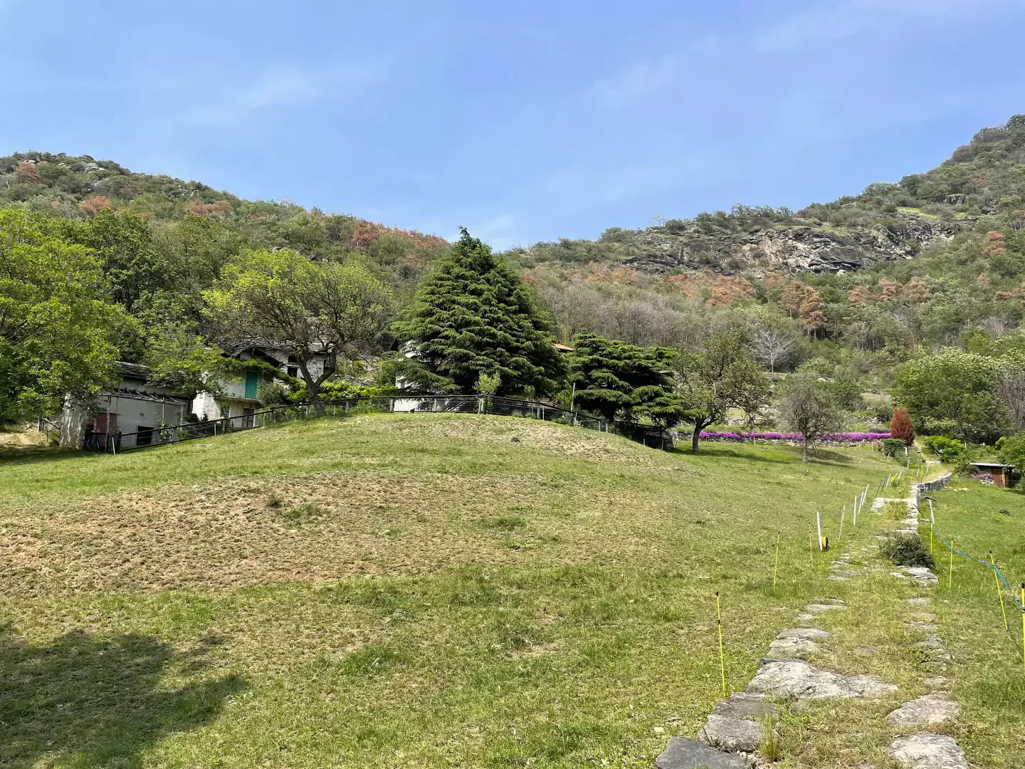
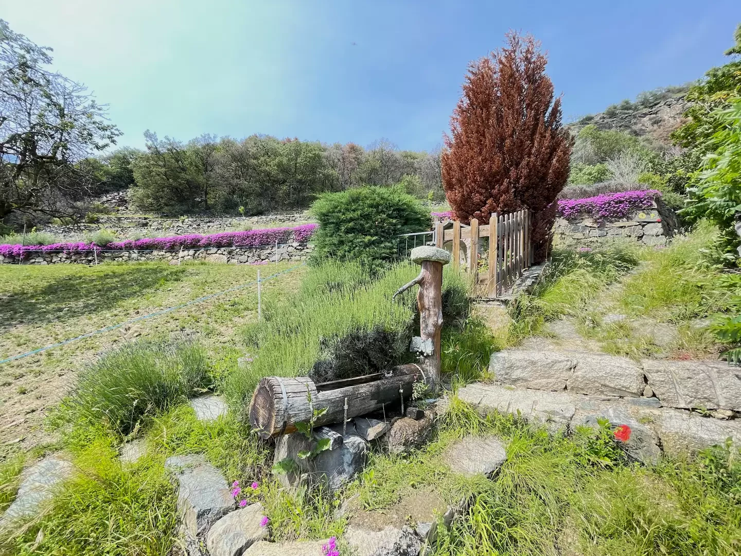
0h00' Leaving the car, take the small road immediately to the left of the car park and enter the village of Torille until you come to the chapel dedicated to Saint Barbara. Turn right then left before meeting a pretty fountain💧. Continue along the path
which, after a couple of twists and turns, leads to the little road that leads to La Nache.
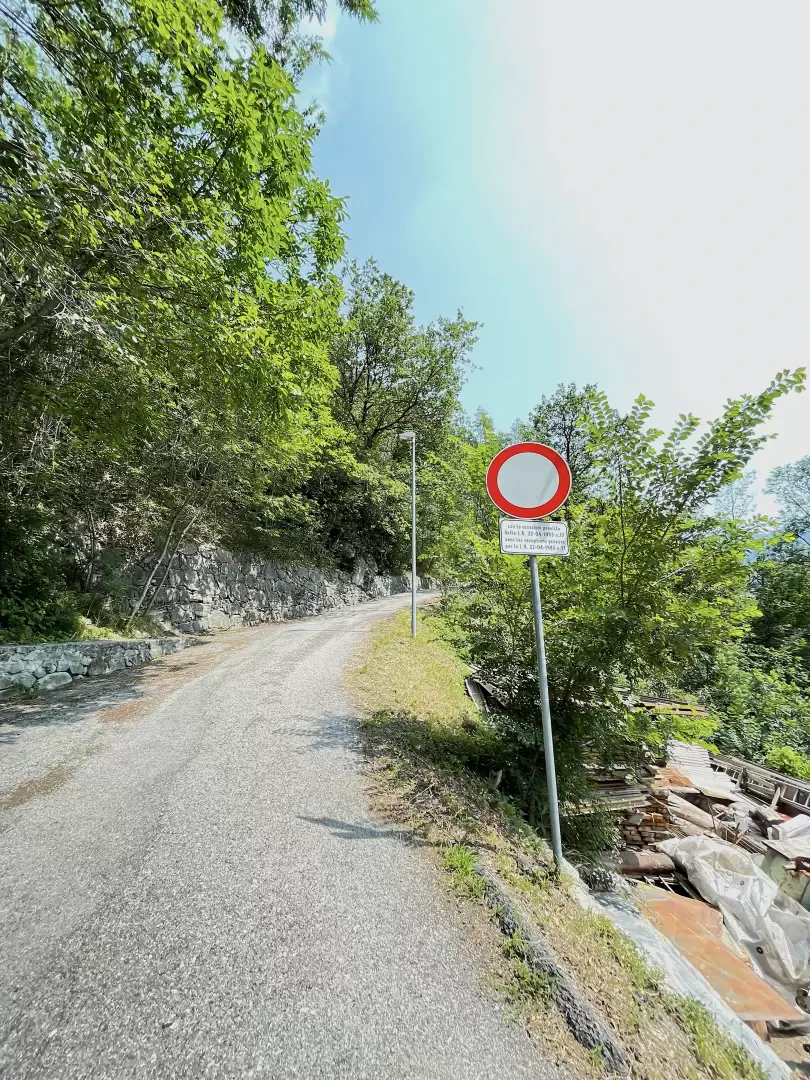
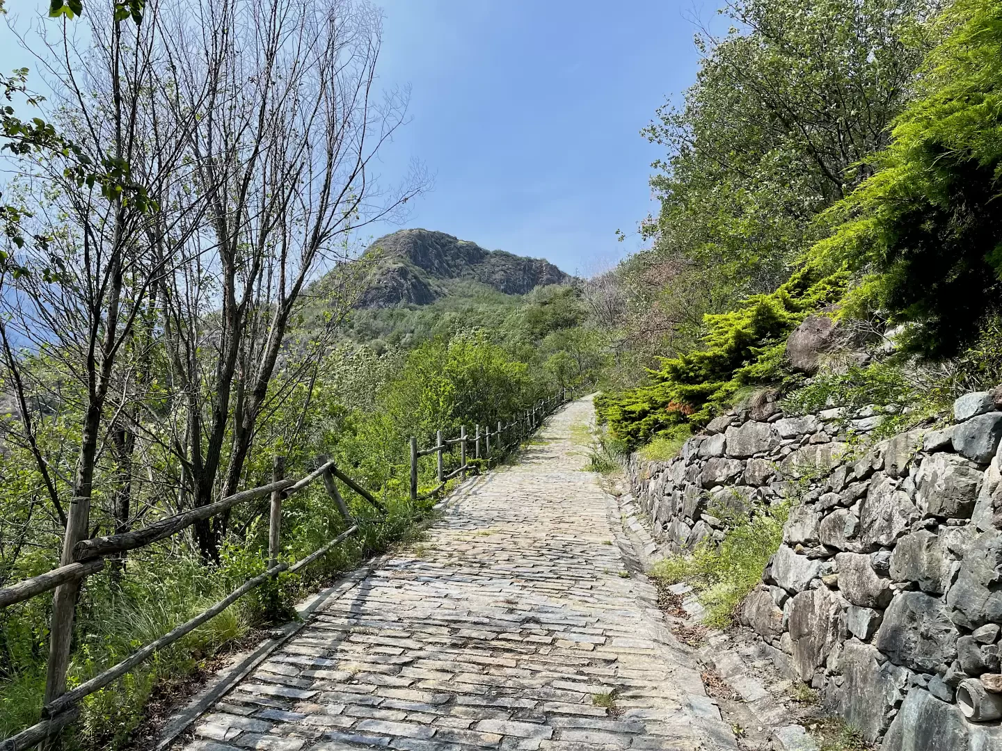
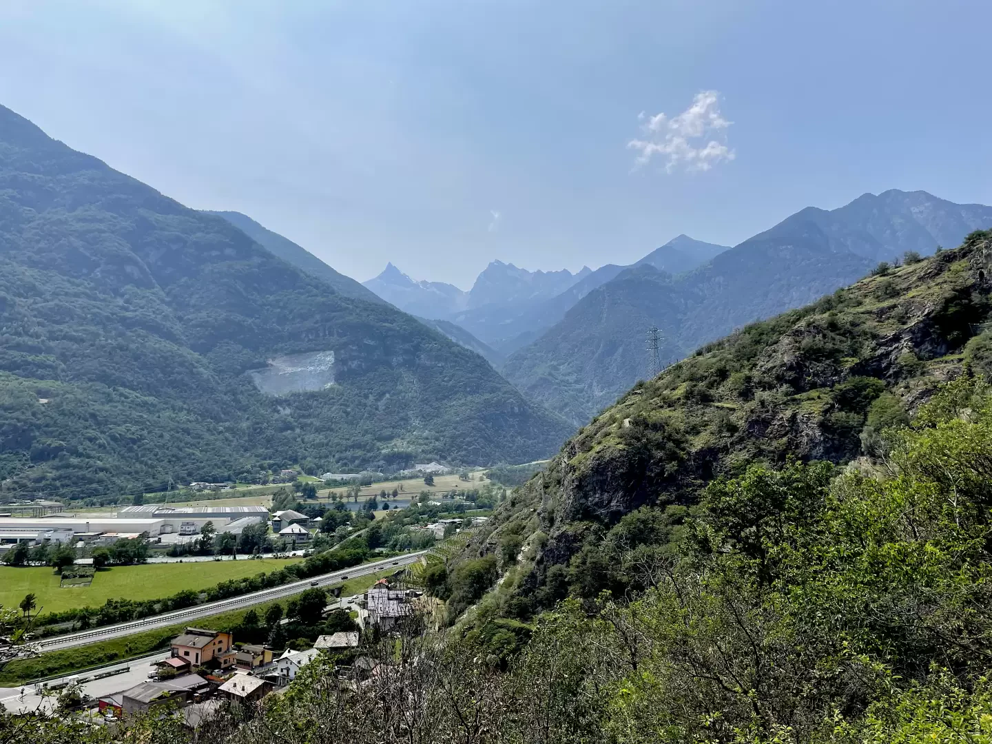
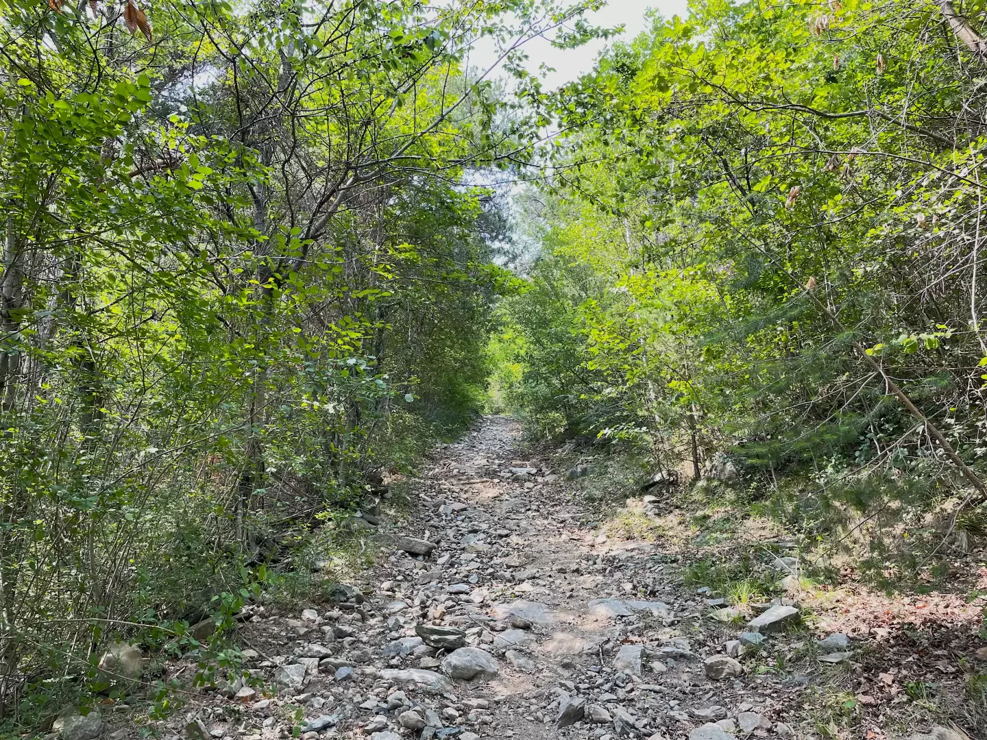
0h05' Turn right as you leave the last houses of Torille. Pass the no-entry sign and proceed along the asphalt road that climbs the wooded slope. After a couple of twists and turns, the road becomes paved and quickly gains height as interesting panoramic views open up over the not-so-distant peaks of the Avic Park. At the end of the paved section, we now proceed on a dirt road and reach a work to contain the outflow of water from the Torrent de Torille, built after the flood of 2000.
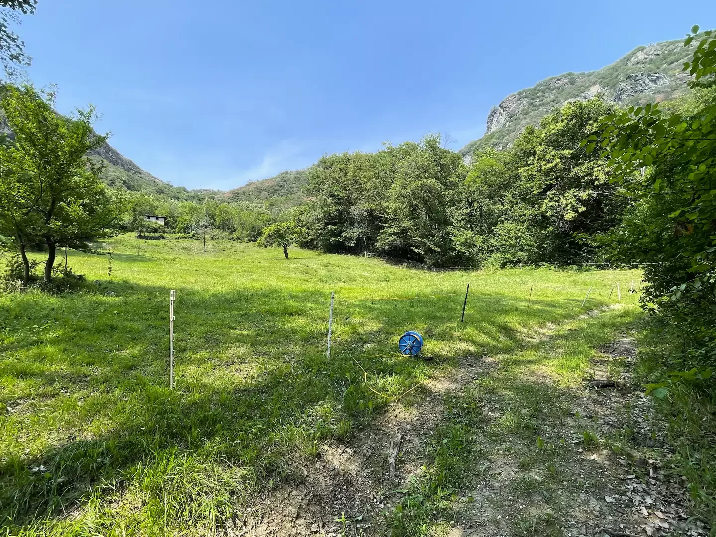
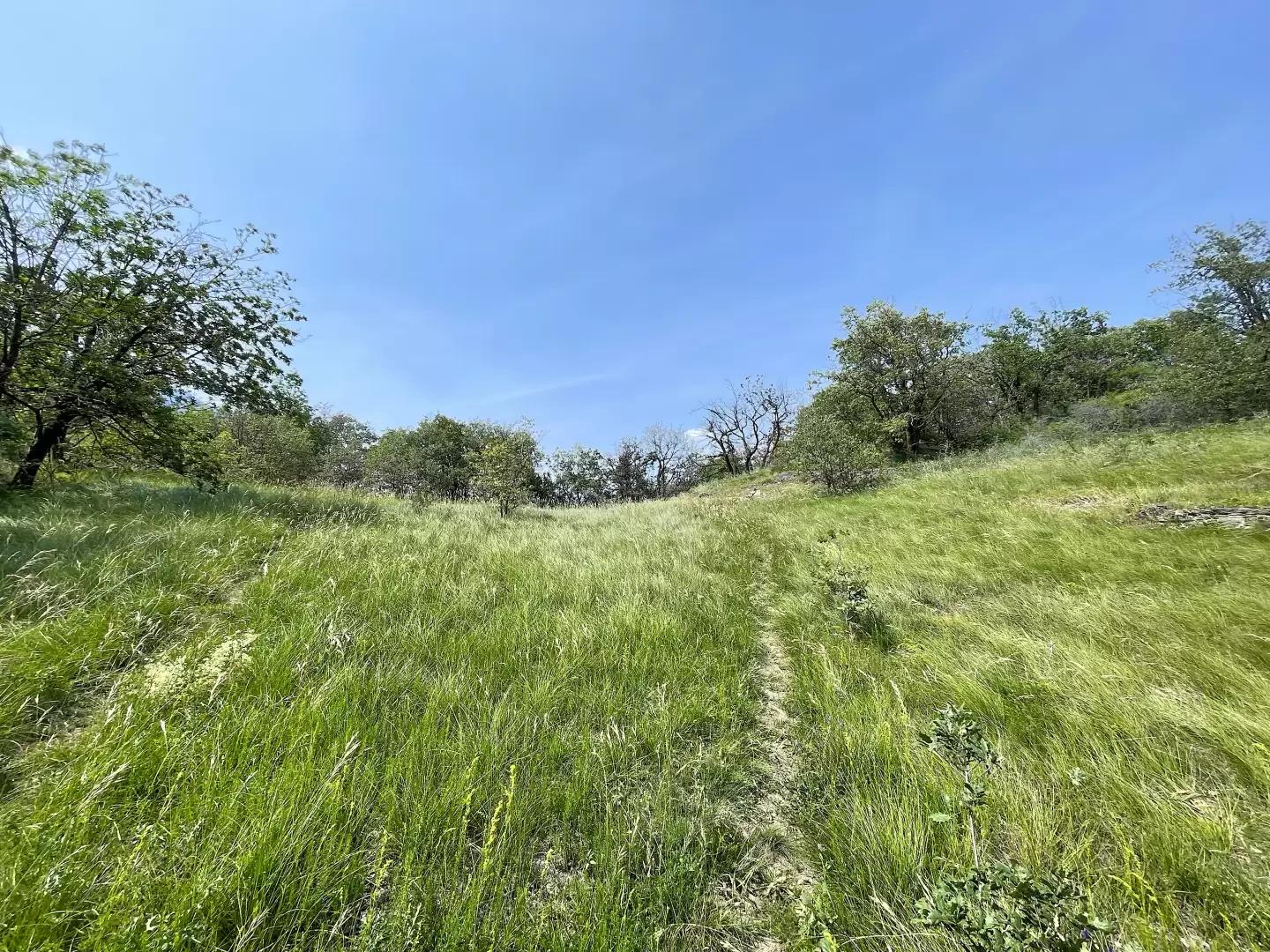
0h20' A little further on, you will come to a marker post with the indications for the Via Francigena and the Camino Balteo : ignore the path that branches off to the left and continue along the dirt track skirting the first of the hamlets of Sérémont. You will reach an initial grassy clearing and then turn right before starting a long stretch of steep gravel road that quickly leads to the pleasant clearing before La Nache (673m).
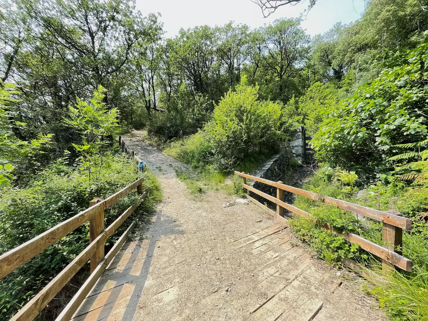
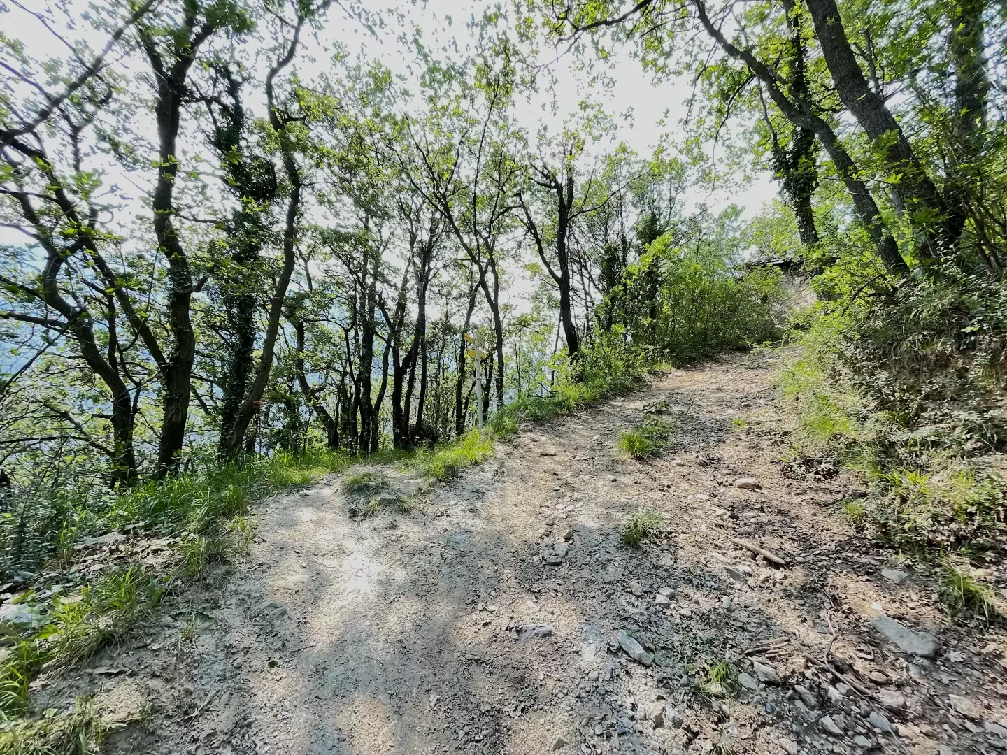
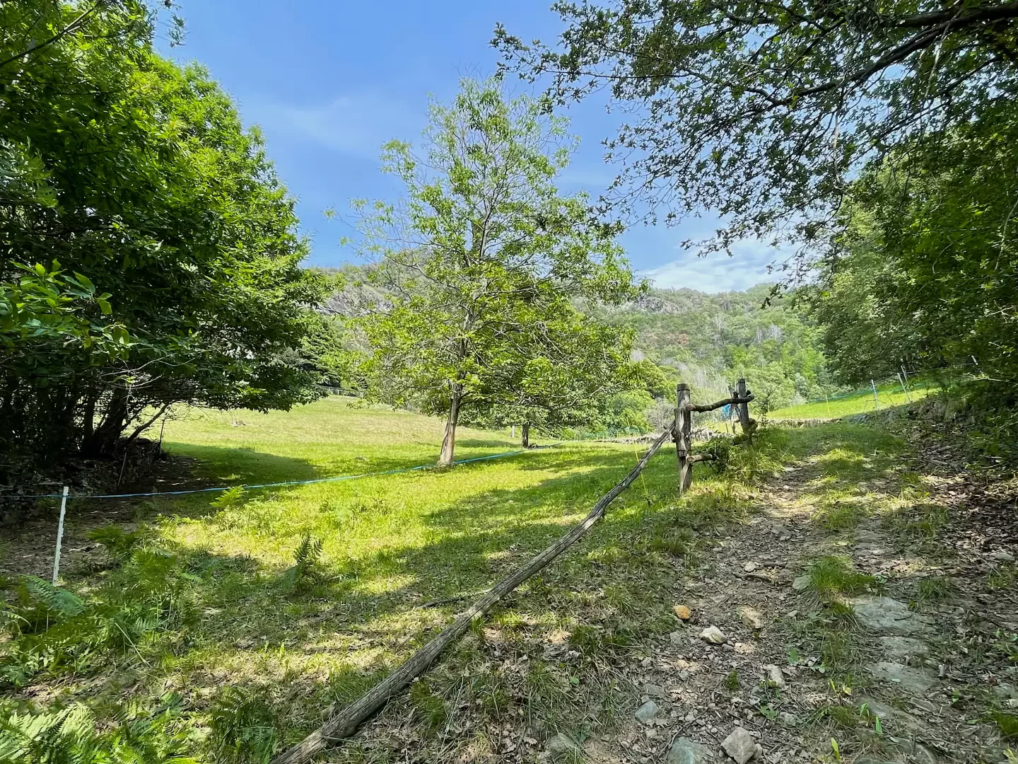
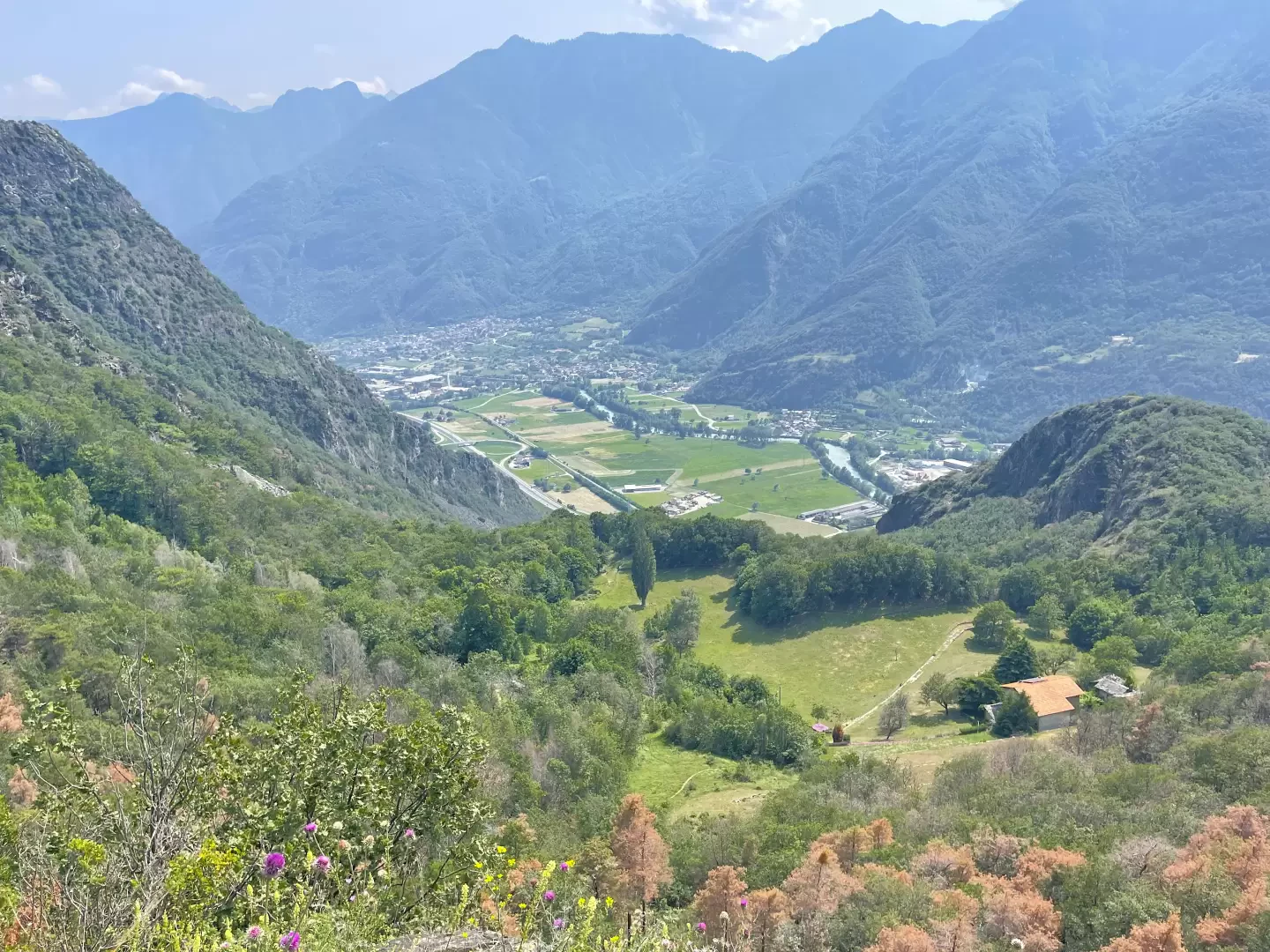
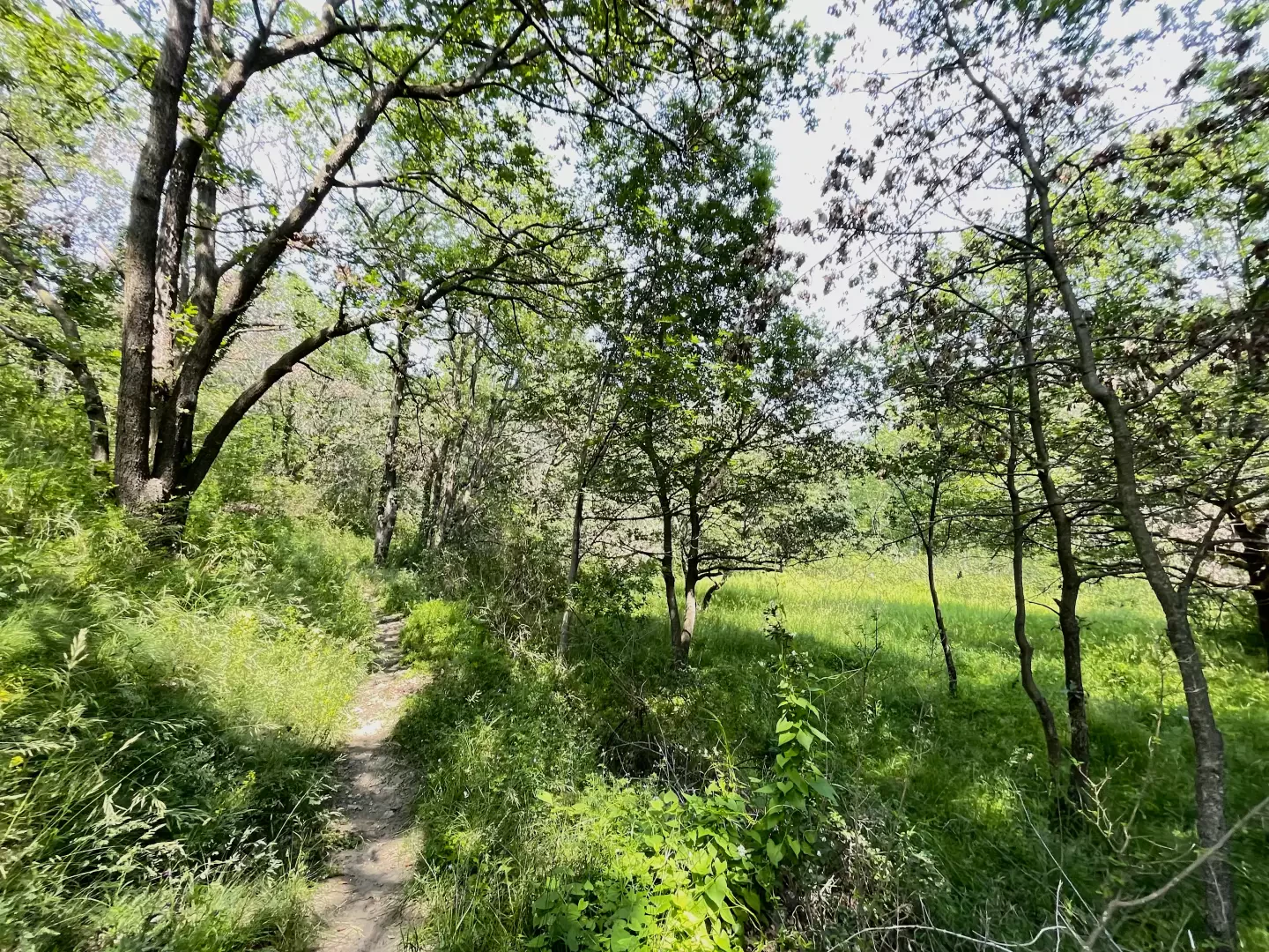
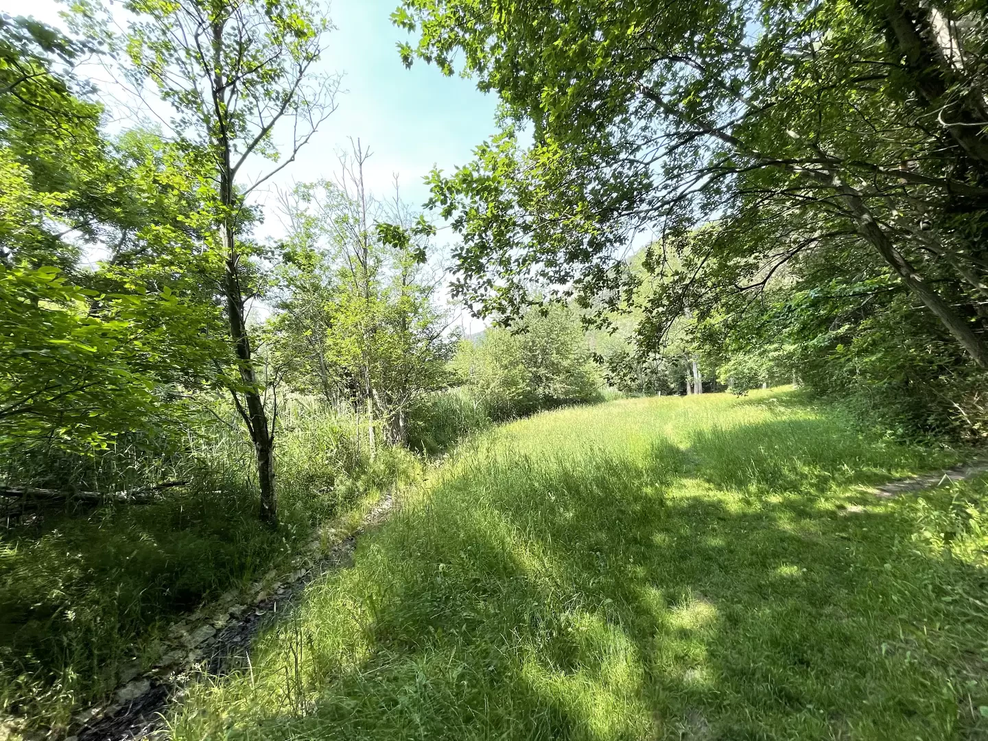
0h45' Continue on the pretty mule track past the hamlet of La Nache until you reach a fountain 💧. Continue on the path that crosses some scrubs of downy oak (Quercus pubescens) and, with a series of twists and turns, leads to the grassy plateau of the Col de la Nache (). 1h00' When you reach the barely visible pass, turn right and follow the path as it turns right on a slight incline, taking you to a beautiful balcony on the plain of Verrès below. You re-enter the forest as the path turns slowly to the left, taking you to the lake plateau. Passing an abandoned farmhouse, you finally reach the lake of Villa (820m) 1h30'. The return is along the same route as the outward journey.
Giro running per includere il sentiero da Torille al Lac de Villa. Dopo un primo di 9km corso tra le stradine di Montjovet, Champdepraz e Verrès mi sono trovato all'imbocco del sentiero
a Torille. Ripercorro integralmente il sentiero dopo un po' di tempo.
Il percorso è perfettamente agibile anche se nella zona del Col de la Nache l'erba è un po' alta (attenzione alle zecche). Arrivato al lago ho notato che le piogge dell'ultimo periodo lo hanno riempito bene!
Il rientro è stato completato ad anello passando da Barmachande e scendendo la strada comunale sino a Toffo per chiudere sulla Via Francigena fino a Balmas.
Giornata calda con sole pieno ed un po' di vento. Tempo complessivo del giro 2h16' mentre per nel tratto specifico ho impiegato 44'12".


Comments (0)
Sign in to leave a comment