Leave the motorway junction at Châtillon, turn left and continue for about 300m until you come to a roundabout: take the third exit and continue straight on Via E. Chanoux. Go through the centre of Châtillon for about 600m and then turn slightly right onto Via Menabreaz to follow for 450m to the characteristic roundabout with the "Matterhorn" inside. Take the second exit and take the Valtournenche road, following it for about 7.6km to Antey-Saint-André where you turn right onto for La Magdeleine. Go up the regional road for 4.9km until you reach, on the left, a small free car park 🅿️ where you can leave your car.
[0h21'] - [13.9km] How to get there with GMaps How to get there with Apple Maps
These directions are based on direct verification carried out at the time of the survey of the route, so the information should be checked before starting the hike. We recommend using a GPS navigator or map app on your smartphone to get up-to-date and detailed directions.
Introduction
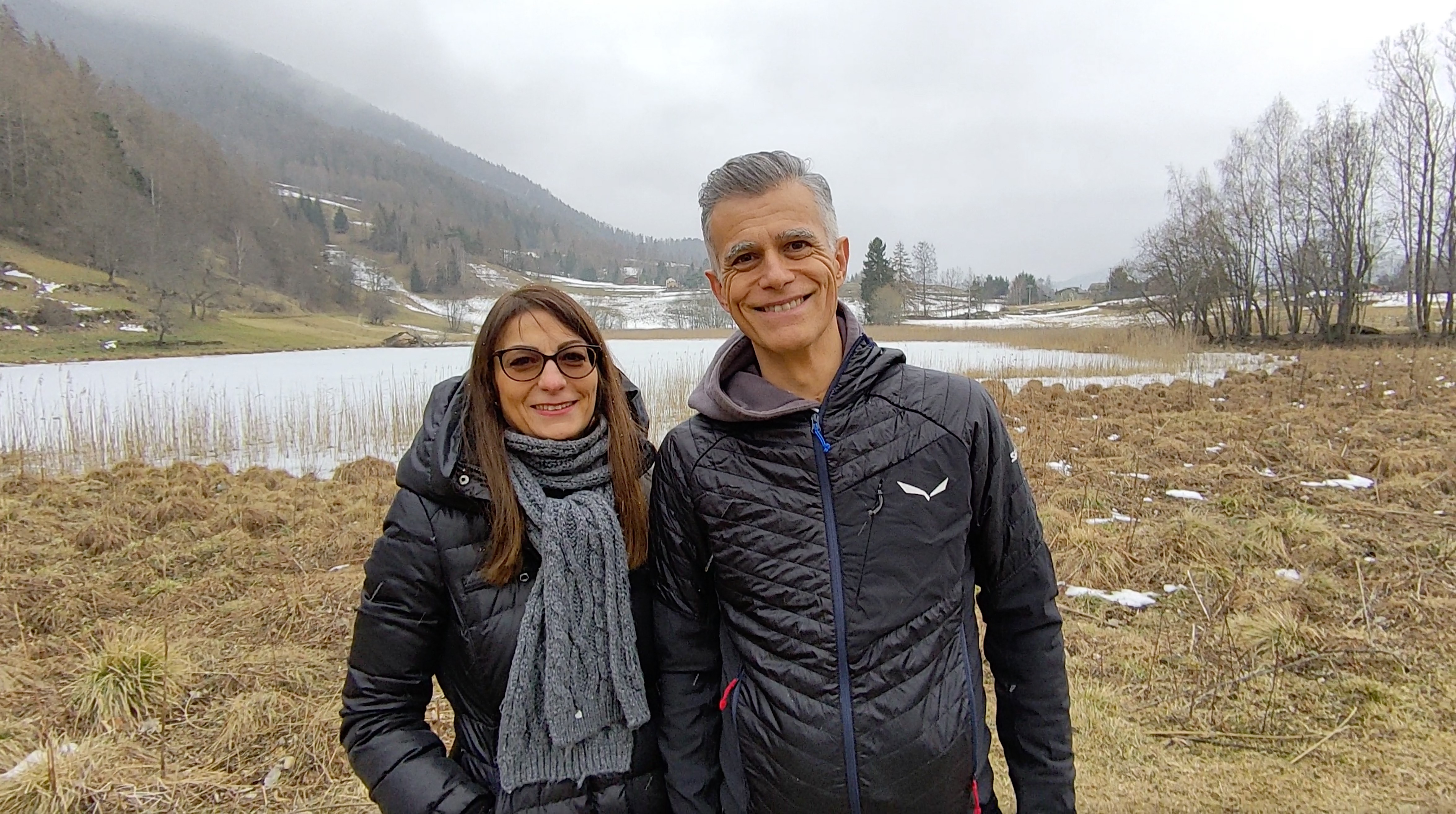
The area around Lake Lod is home to a wide variety of species, including rare and localised ones. Its waters are of glacial origin, and it is bordered by a mosaic of micro-environments. The reed thicket constitutes an important ecosystem with numerous species of insects, amphibians, birds and fish. Unfortunately, Lake Lod is 'ageing' due to reduced water reserves, resulting in a decrease in water surface area.
Description
0h00' From the car park follow the regional road for a few metres and then take a small road on the left that leads to the village of Lod, where you will find the pretty chapel dedicated to St Peter in Chains.
0h05' Continue along the small road that crosses the village until you reach a playground area: from here the road becomes a dirt track and begins a short descent until you reach a marker: ignore the path to the left and continue straight on for a few metres, then turn right and descend the pastureland to the edge of the lake. You can walk alongside the lake for a good stretch, taking care not to enter the wetland area (1459m) 0h15' .
The return is along the same route as the outward journey 0h15' .


Comments (0)
Sign in to leave a comment