La Montagnola


Edited by:
Marco Bonati
Updated at: 29/11/2025
Access
From Milan to Novate Mezzola along State Road 36; turn right at the end of the village at the last crossroads: Via Foppa. Look for parking in the few open spaces along the road.
.Introduction
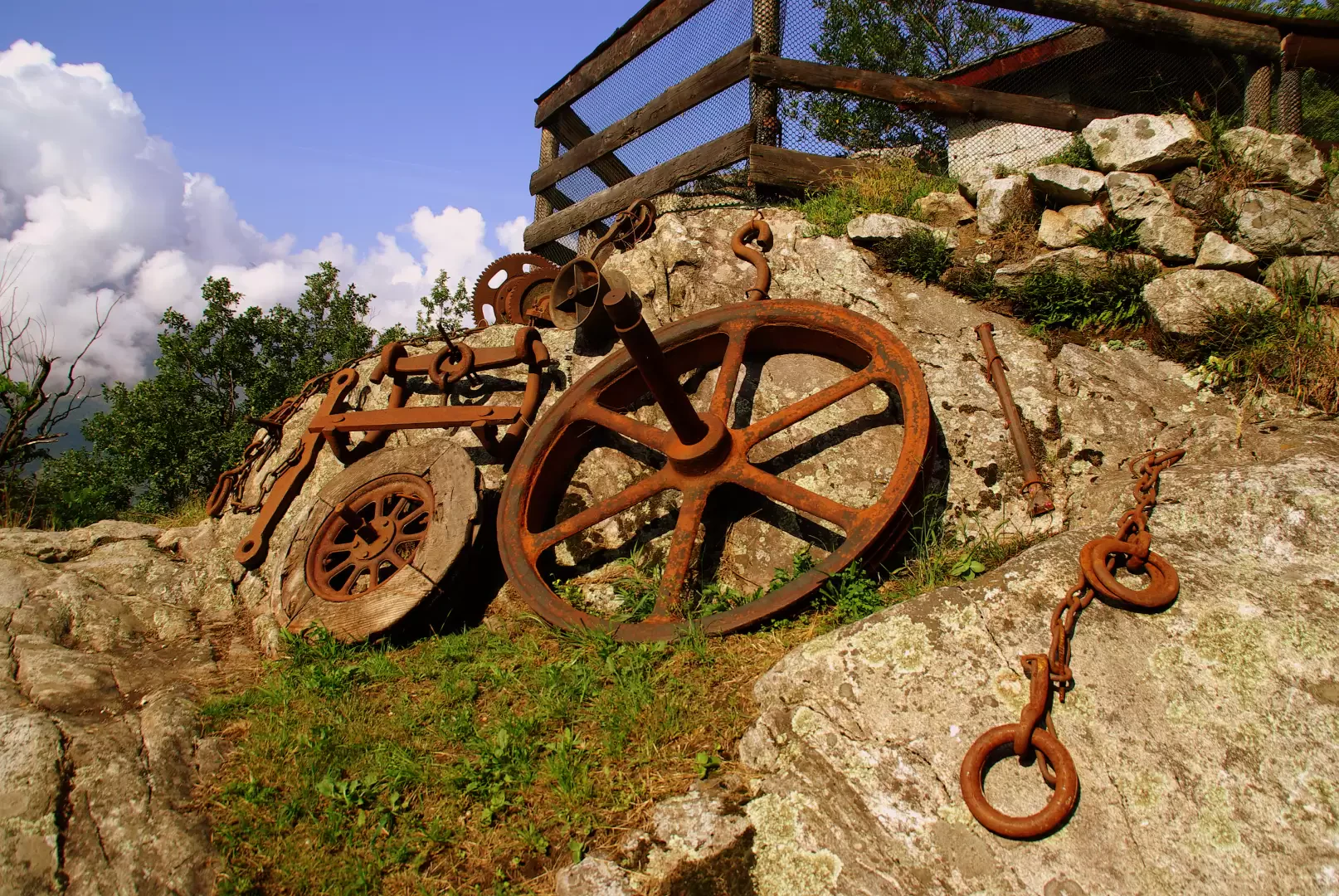
Ancient settlement hidden at the bottom of the valley among lush chestnut groves and remnants of old 'San Fedelino' granite quarries. At present, the few huts in the Montagnola are being rapidly modernised with total disfigurement of the original architectural features. Also for this reason, reaching the small village is only an expedient to try to retrace the interesting path created by the quarrymen to reach Val Codera without passing through the plain.
Description
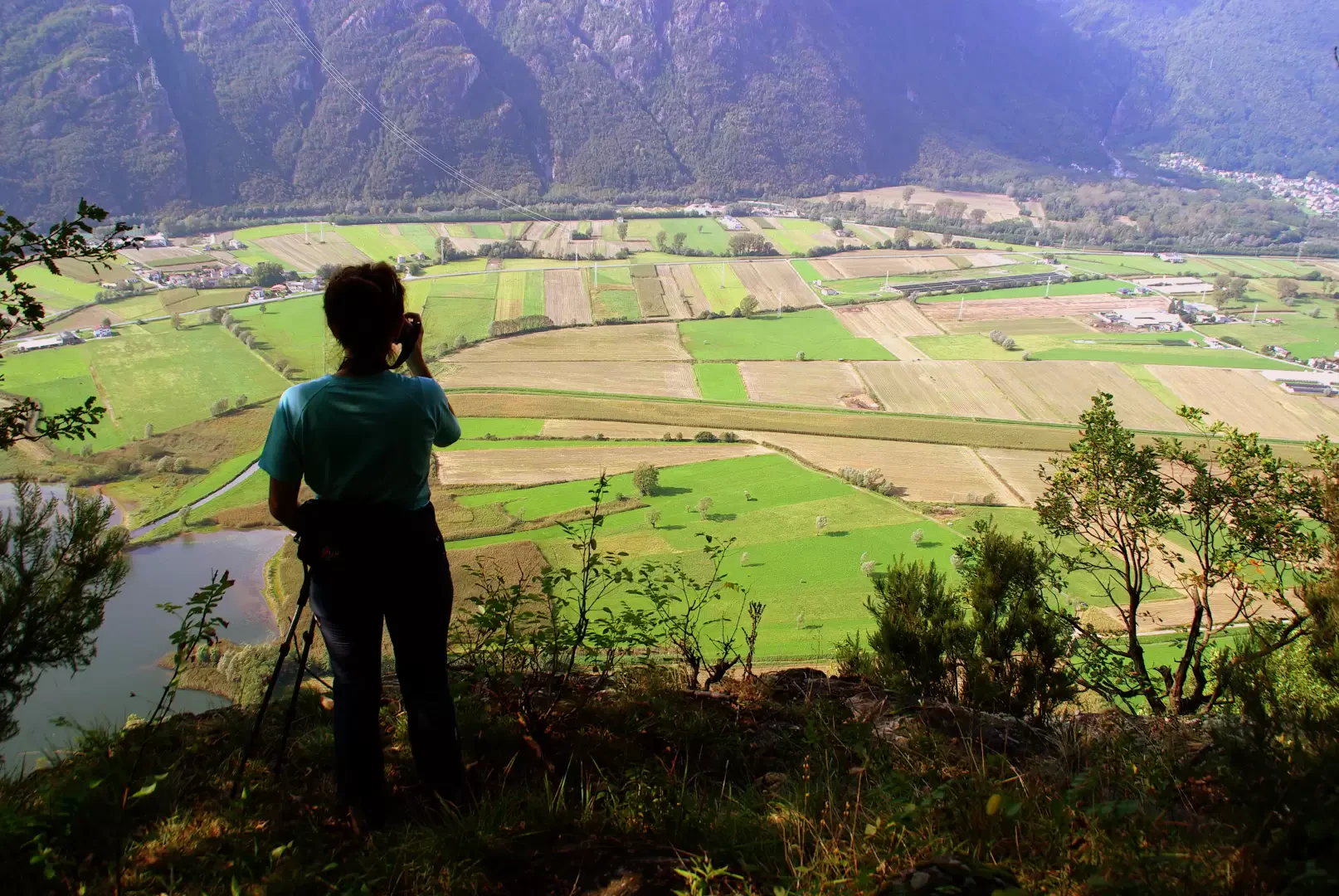
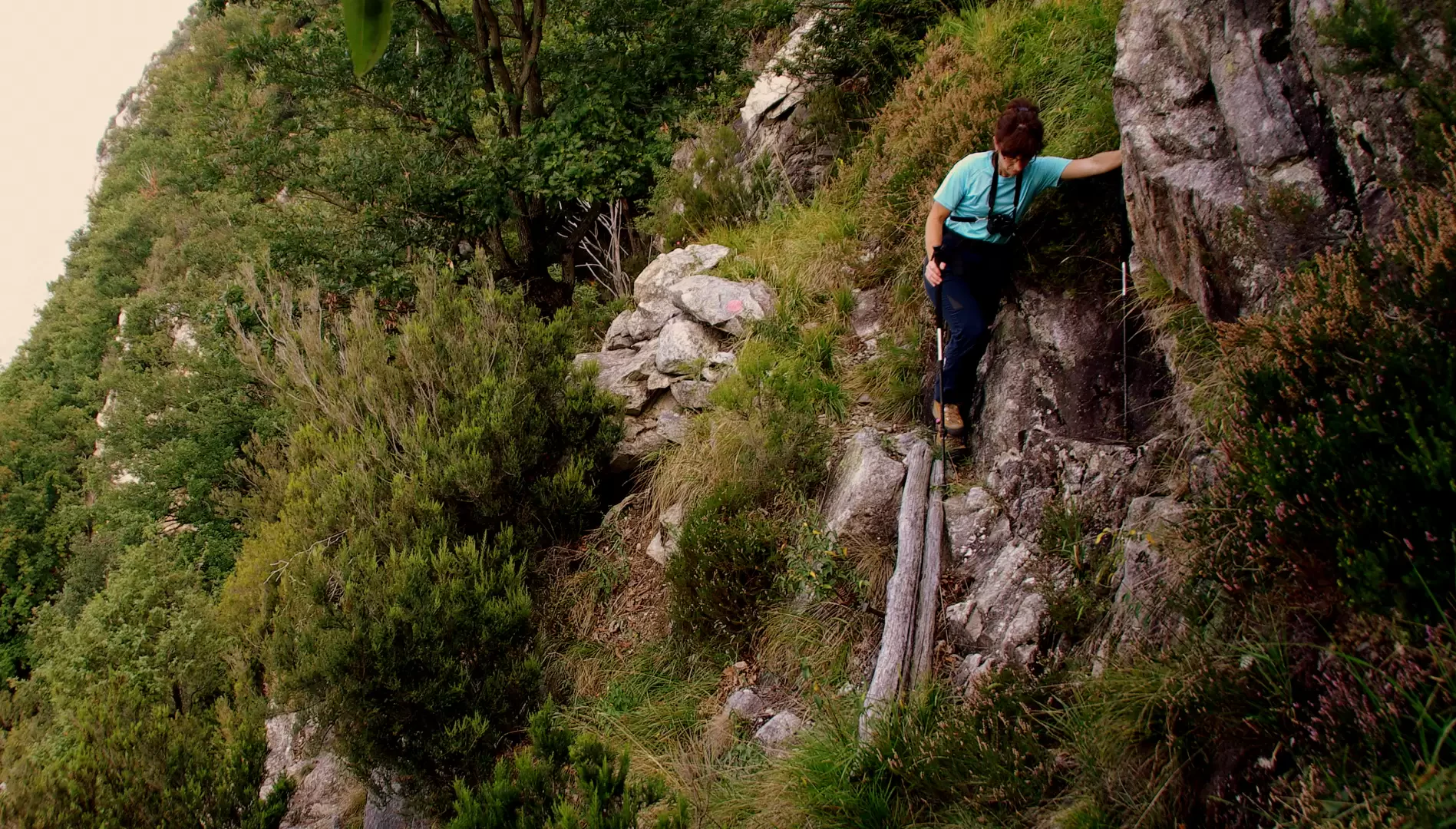
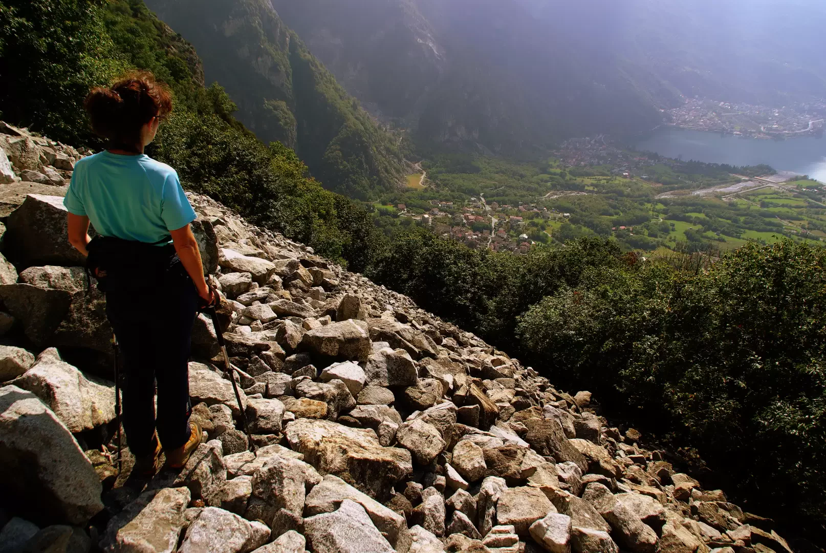
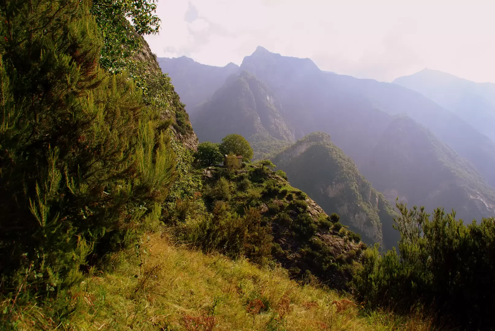
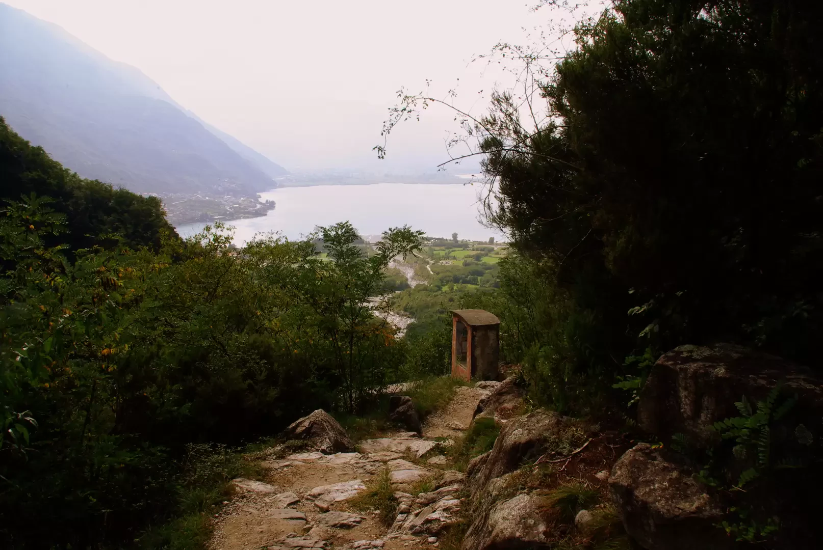
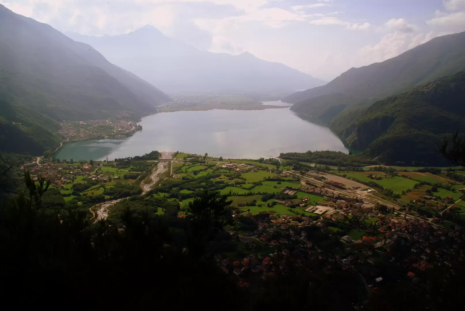
From the 204 m car park, climb up the lane beside the quarry access; at a wooden post, through a bush, enter the perimeter of the quarry itself and immediately take a dirt track to the left. The path, which is rather uneven, repeatedly cuts hairpin bends until it reaches a terminal lay-by. From here, near some mounded rocks, the path - now very well marked - begins a long traverse that alternates between flat stretches and considerable ascents on steps until it reaches the wooded hollow of Montagnola 579 m. From the centre of the small hamlet, near a fountain and still following the painted signs, climb to the top of the houses and enter the chestnut grove strewn with granite detritus from the disused quarries above; bending slightly to the right, you reach a shelf ("la piaza", an area where the stone was initially crushed) and then the base of the mountain's rocky slabs. One crosses a flow ("la ganda" 625 m) of large, sharp and unstable boulders, until one reaches - via a steep ascent - an apparent ledge, the starting point of the delicate ledge that characterises the route from here until the turning into the Vaql Codera groove. The path alternates between flat stretches and steps, chestnut and oak woods hanging over the valley floor and ledges carved into the live rock. Immersed in a 'forest' of Erica arborea, you reach the highest point of the trail 735 m; from here begins a slightly more comfortable descent among the chestnut trees until you reach a very vertical (and mobile!) scree slope, which you cross on your way to a final ascent to the isolated Motta hut 662 m. There is a sensational view of the lakes below (Mezzola and Pozzo della Riva) and the mouth of the Valtellina closed to the SOUTH by the ridge of Monte Legnone and Legnoncino. From Motta, the path, now no longer exposed, descends gently to reach the splendid mule track leading to Val Codera 635 m. Turning towards the valley, via an endless series of steps, winding through the woods, you descend to the hamlet of Mezzolpiano di Novate Mezzola. It is now necessary to return to the Foppa quarry: on an asphalted road, proceed by taking a right at every crossroads; finally reaching a small square between the villas, where a dirt/gravel track begins, bordering abandoned areas of the quarry. Following it, you arrive precisely at the beginning of the route.
.Photo gallery

Comments (0)
Sign in to leave a comment