The Basset


Edited by:
Marco Bonati
Updated at: 06/05/2026
Access
From Milan to Ardenno (SO) along state roads 36 and 38. At the roundabout in front of the railway station, turn left onto the provincial road for Val Màsino and follow it for a long distance until you reach the village of Filorera (a hamlet of the municipality of Valmasino); at the signposted fork, turn right (signposted for Rifugio Ponti) and follow an unusual wide road that ends after a few kilometres against a landslide that has been transformed into a granite quarry. Parking here would extend the hike by about two hours. It is possible to reach the upstream side of the landslide along an extremely bumpy and exposed track (only suitable for 4x4 vehicles); after a narrow, curved tunnel with no lighting, a bridge and a steep section, one finds oneself on asphalt. The road, which is in excellent condition, continues for a long time in hairpin bends until it widens out at the Preda Rossa terminal square. (The ambitious route was built in anticipation of a hydroelectric exploitation of the waters coming from the Monte Disgrazia glacier; an attempt that was fortunately aborted).
.Introduction
Description
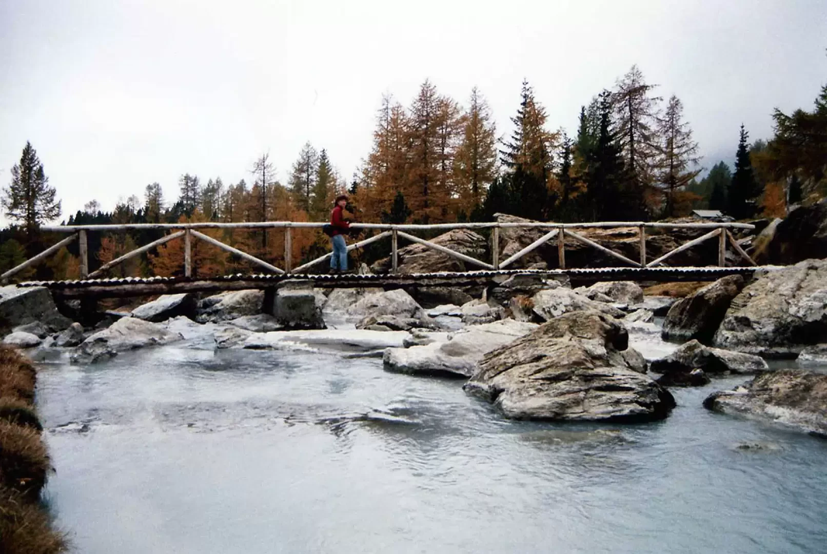
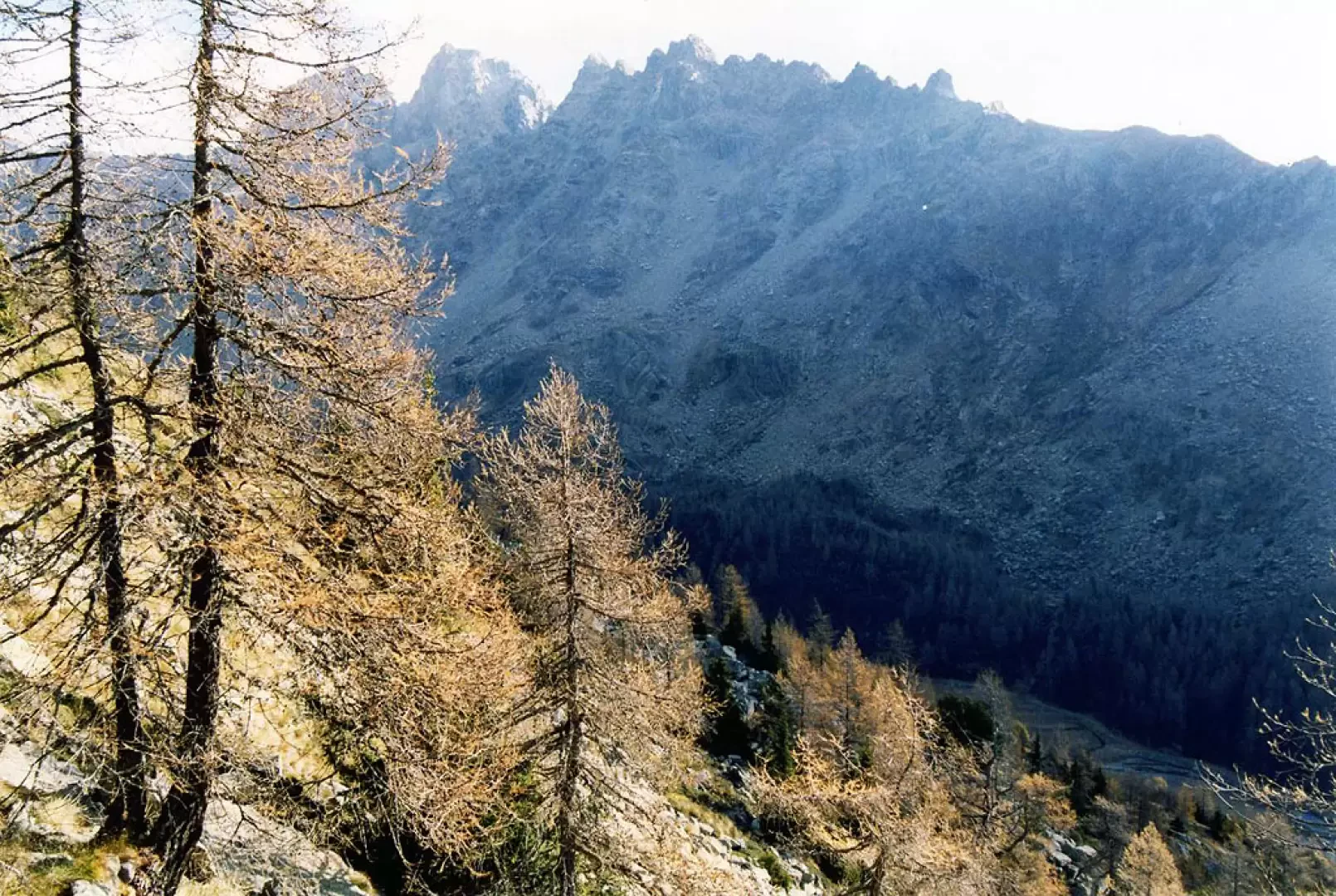
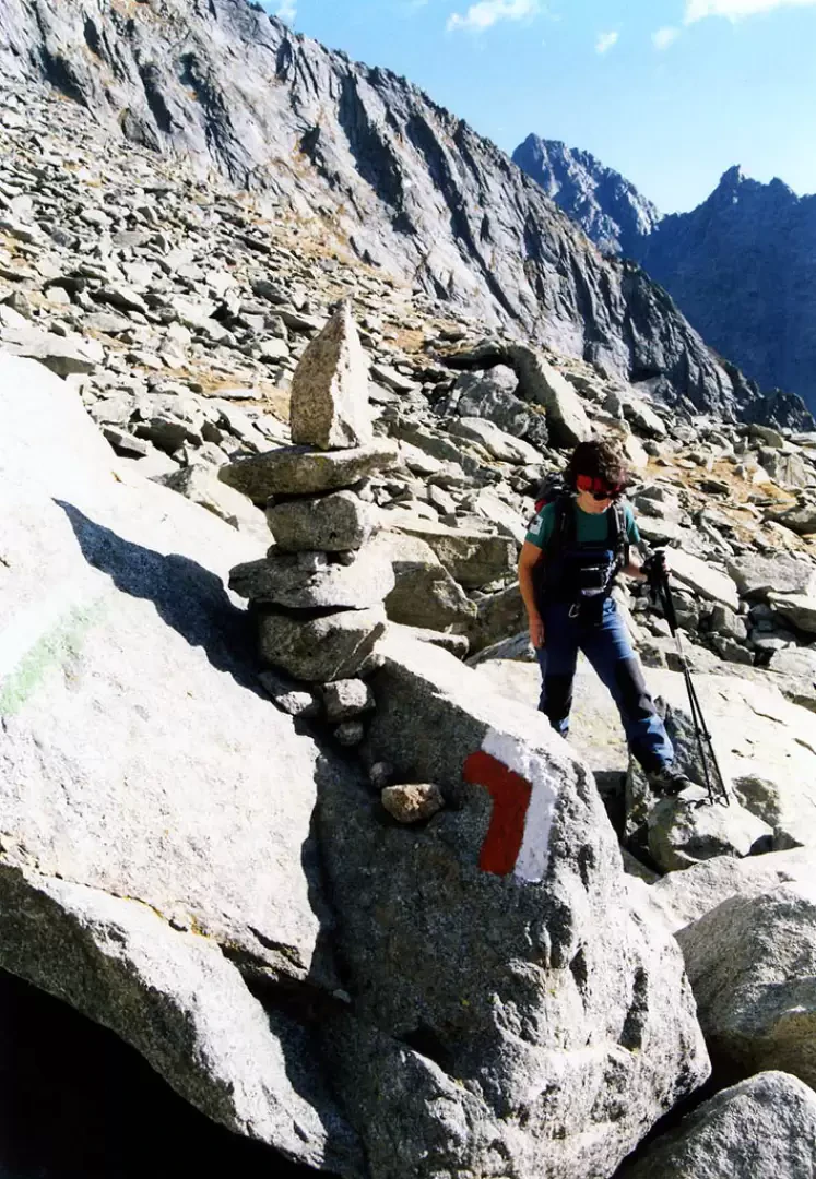
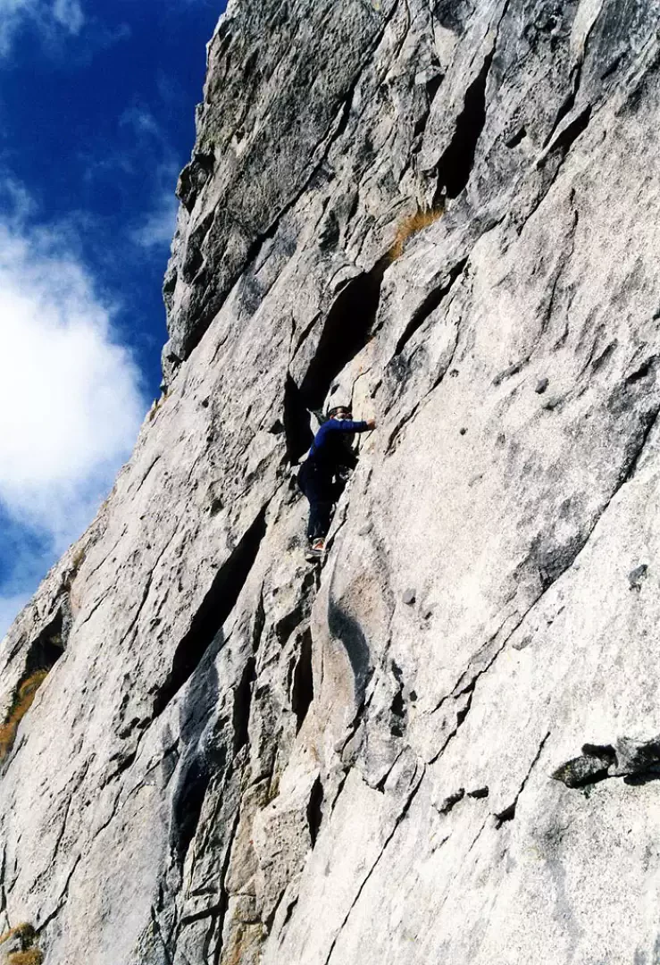
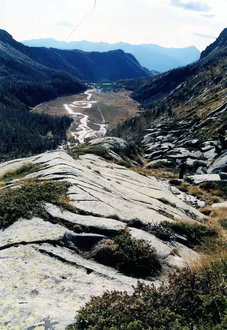
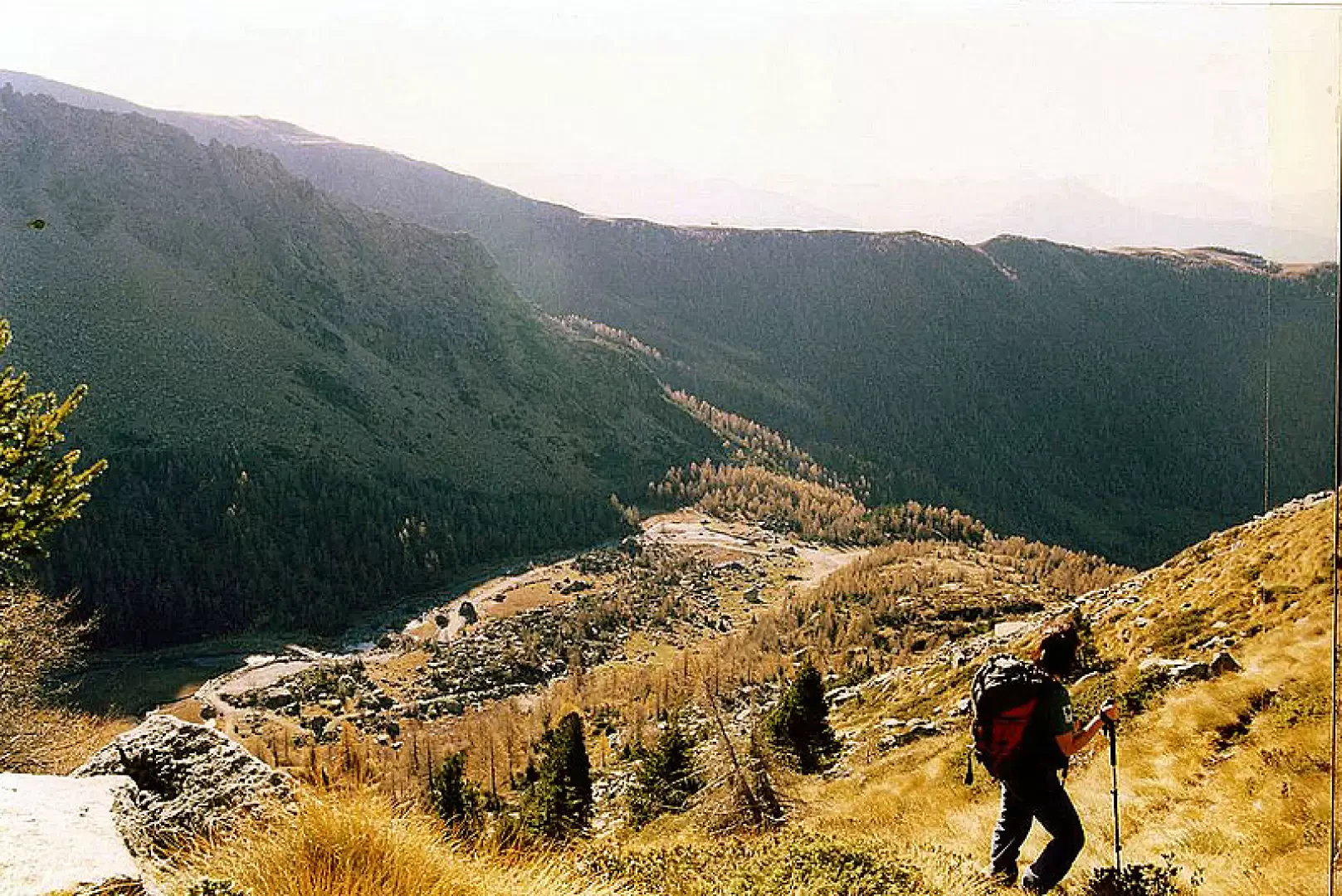
From the gravel parking area, one must look to the left at the concrete structures left over from the hydroelectric attempts: very faded writing in green paint badly indicates the presence of a fictitious 'Sentiero Padania'. Climbing briefly up the mountainside on concrete ramps, the few green markers lead us onto beautiful abandoned pastures, among the last mugho larches and rhododendrons: the path is beautiful and comfortable; then we begin to climb on a track that is always clearly visible, but steeper and with a surface of unstable blocks; having arrived near a rocky wall, we must pay attention to a fork: it is really not very visible and branches off to the right, practically behind us. From here, for a long stretch, the track is no longer visible: one climbs among tufts of slippery grass ("erba visèga"), very unstable blocks and remnants of avalanches that have fallen from the slabs above. It is a good idea to gain height on the very steep slope, traversing, keeping at the foot of the wall; when the slope diminishes, one goes in a north-westerly direction to cross the stones of ancient landslides, by now within sight of the vent. Instinctively, you try to make the path easier by linking the strips of grass between the stones, and suddenly you find white/red markings on cairns of stones (this is a path that connects the Preda Rossa valley with the parallel Val di Mello - Sentiero LIFE of the Regional Forestry Authority). Follow the signs upstream and you will soon reach the Basset depression 2546m. You overlook the middle Val di Mello and in front of you are the peaks and valleys of Ferro, Qualido, Zocca and Torrone. It is possible to enjoy climbing on passages of moderate difficulty near the pass. For the return trip, it is very convenient to follow the entire Sentiero LIFE path, which, after separating from the uphill route, follows the easiest parts of the slope without difficulty, among slabs ("piode") and wide ledges, until descending on the second shelf of Preda Rossa, reaching the path for the Ponti Refuge near the ruins of a hut. During the entire descent, the three very articulated red rock peaks of the Corni Bruciati are in front of you, and at times Monte Disgrazia is visible at the apex of the valley. From the hut, one proceeds on a well-marked track, close to the torrent, among the buried boulders of an ancient moraine; in about twenty minutes one arrives at the first shelf of Preda Rossa: a peat bog that extends for hundreds of metres, between the loops of the torrent that has become very slow on the plain. For the past few years there has been a track - on the right - which, on a path alternating with non-slip footbridges, leads along the edge of this wetland, attempting to limit the damage of decades of trampling. At the end of the bog, we return to solid ground, at the remains of a carriage track; after a beautiful fenced pond, we find ourselves back at the car park. Possibility of bouldering on the serpentine boulders scattered around the area.
Photo gallery
Comments (0)
Sign in to leave a comment