Eastern Col de Barasson


Edited by:
Marcello Rossi
Updated at: 10/03/2025
Introduction
The pass is located on the watershed between the Italian and Swiss Barasson combas, but does not allow a connection between the two, as there is no path on the Swiss side. The panorama at the pass is nevertheless interesting, apart from the harshness of the landscape, which is typical of the high mountains, the view sweeps over the Swiss side of the Great St Bernard Pass, the Grand Jorasse, while towards the Italian side you can see: Monte Paglietta, Mont Fallere and as far as Mont Emilius and the Aosta basin.
Description
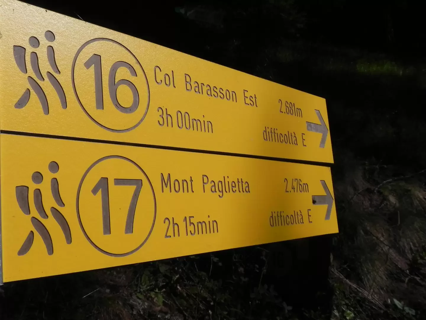
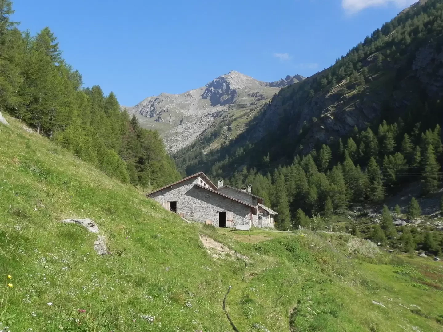
From the hamlet of St. Rhemy, climb up to the first hairpin bend on the SS 27, where a dirt track branches off (signposted TDC and trail marker 14). Follow the cart track until you pass 6 hairpin bends, after which a long straight stretch begins, ignore the signpost 14C (for Plan Pluitz) and continue straight on downhill. After a short while, a path branches off to the left (signposts 16 and 17), which climbs slightly as it enters the Barasson comb. Pass by an alpine pasture and take the path that branches off to the left as soon as the buildings are finished. The path ascends the comba at a low gradient, keeping parallel to the course of the Barasson stream. At the alpine pasture of Le Crètoux, the path bends to the right, crossing the course of the Barasson stream and begins to climb up the left-hand side. You soon reach a fork where the path for Monte Paglietta branches off to the right and continues straight on. The path begins to gain height with a series of ups and downs, at first spaced out and at a low gradient, then close together and at a sustained gradient. The path begins a traverse to the left and then returns to gain height with another series of ups and downs, beyond which, with a second traverse to the left, you enter a level area after having crossed a small grassy escarpment. Continue along the path, which is not very evident here but is well signposted, until you reach the base of the wall that descends from the watershed enclosed between the Punta di Barrasson to the NE and the Testa di Barasson to the SW. The path immediately begins to climb at a sustained gradient, progressively leading to the SE of the col, which is reached with a small traverse to the right. For the return journey, it is also possible, having reached the alpine pasture of Le Crètoux, to take a now disused cart-track that comes out just before Plan Pruitz, from here following the dirt road back to the starting point.
Photo gallery
Comments (0)
Sign in to leave a comment