Southern Grigna, normal route


Edited by:
Marco Bonati
Updated at: 01/12/2025
Access
Da Milano a Lecco per la statale 36. Attraversato il viadotto sull'Adda, si imbocca l'uscita per la Valsassina e si percorre la nuova superstrada fino al termine a Ballabio. Dalla stessa rotonda di uscita si prende, di fronte, la direzione per i Piani Resinelli. Dopo qualche chilometro di stretti tornanti in salita, si sbuca sul vasto piazzale-parcheggio in prossimità della Chiesetta.
Introduction
Excursion in the Lombardy Pre-Alps, winding through beech woods from the Resinelli church to the summit of the Grignetta, passing through the Rosalba hut and the Colle Garibaldi.
Description
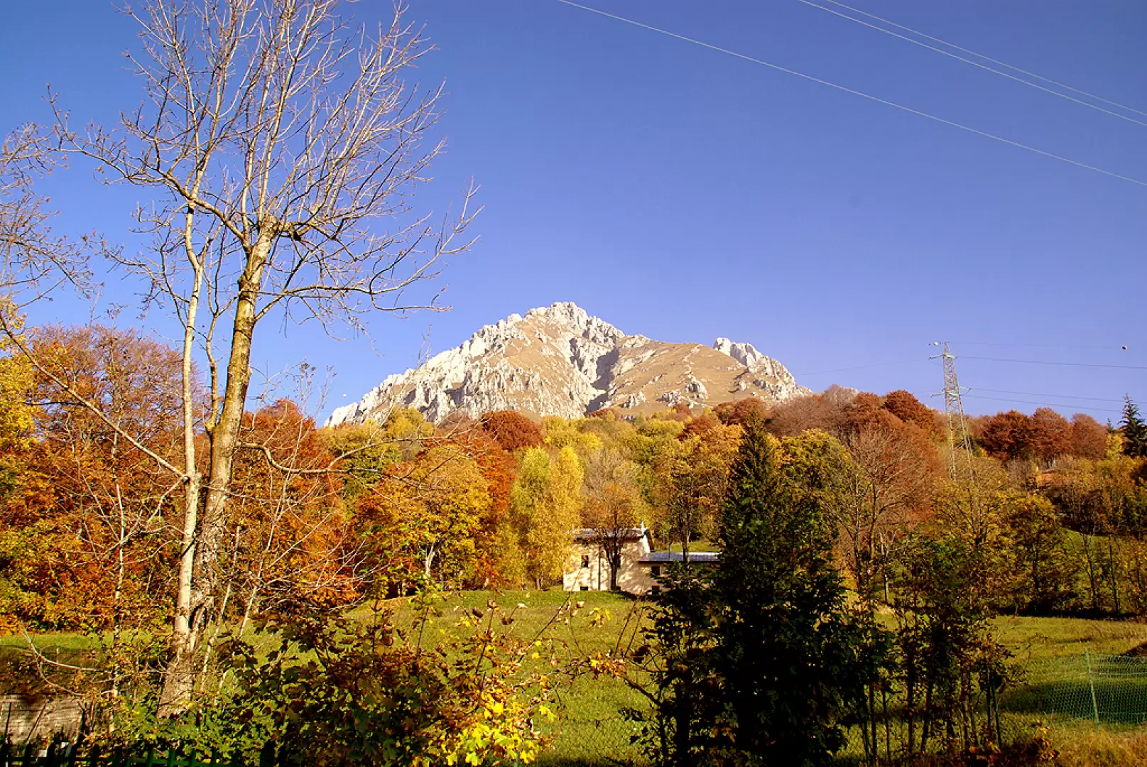
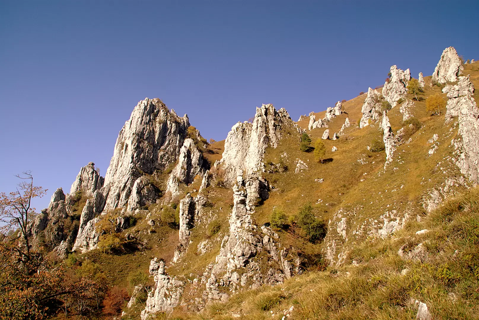
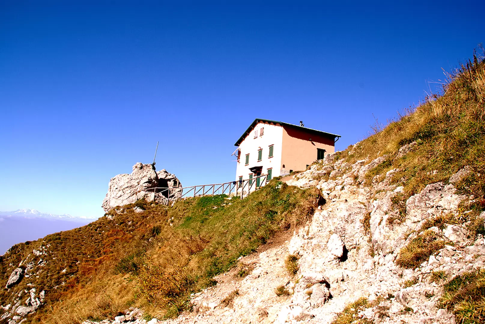
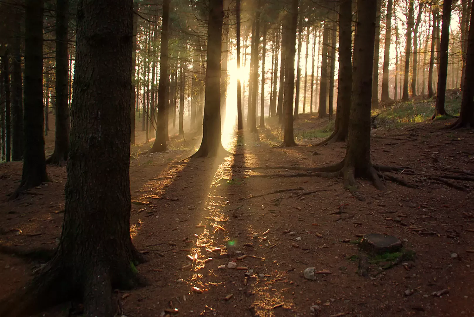
From the little Resinelli church, take the tarmac road behind it which, at first level and then long downhill, leads to the building of the former Alippi refuge. Here you meet the signs for the Rifugio Rosalba: the path first enters the beech wood with ups and downs, then becomes uncomfortably stony and begins to climb up to a fork. Both paths reach the Rifugio Rosalba: the one on the left is a little more comfortable, but longer; the one on the right ('path of the dead') is distinctly steeper and rougher, but faster. Once out of the forest, one begins to wind up curve after curve and hairpin bend after hairpin bend, where the only possible distraction is the observation of the rocky spires with infinite climbing routes: Torri del Pertusio, Cinquantenario, Cecilia, Costanza, Mongolfiera... From the last meadows of Pertusio you can already see Rifugio Rosalba 1730m in a dominant position and quickly reach it: a vast panorama. Behind the hut, we climb the stony ridge that leads to Colle Garibaldi 1824m, then, crossing behind (north) the Casati Pyramid, between small valleys and more or less equipped ridges, we arrive at Colle Valsecchi 1898m.
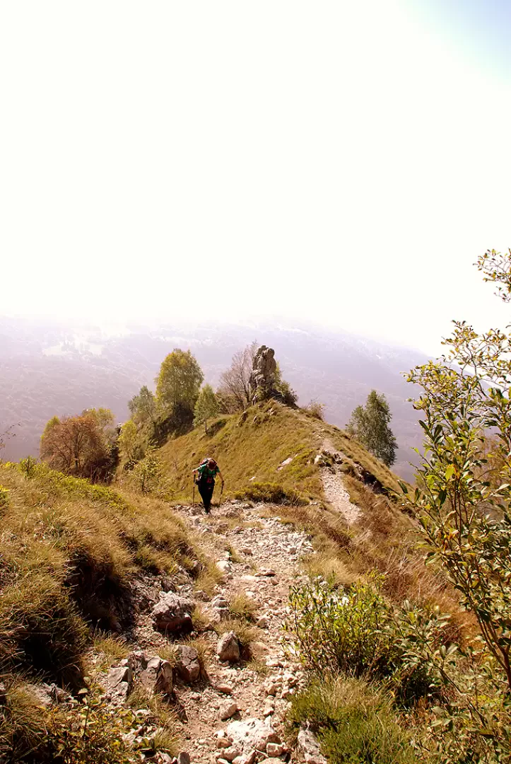
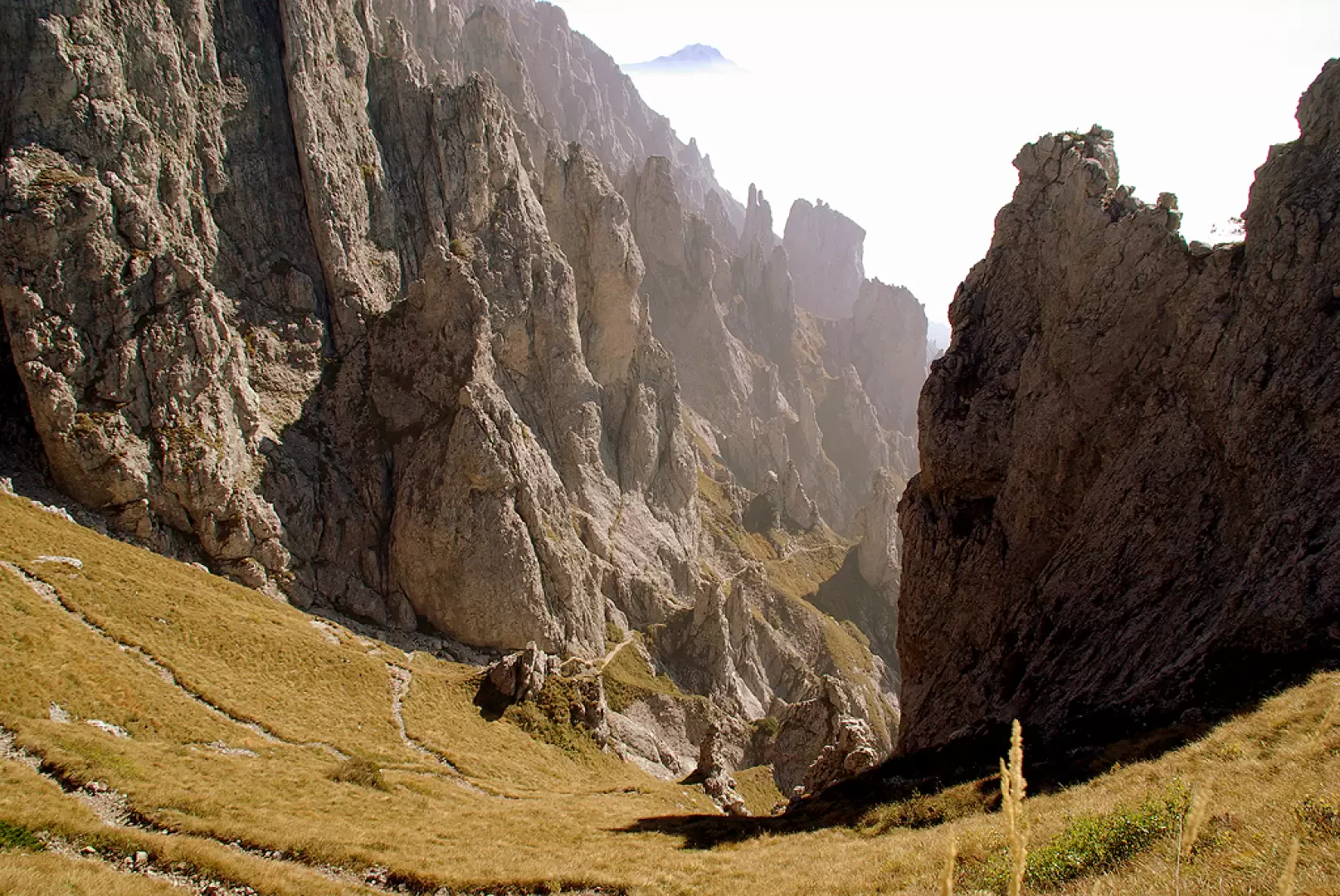
From here, always assisted by cables and chains, we reach the bottom of Val Scarettone, which until now we had climbed on the orographic left side. A series of steep and gravelly hairpin bends leads to the chain of the Bocchetta del Giardino 2003m. Here we cross the slope and from the side of Lake Lecco we look out over the Valsassina. The Bocchetta del Giardino is also the junction of the Traversata Alta path (joining the peaks of the Grigna Settentrionale "Grignone" and the Grigna Meridionale "Grignetta"), which we take to the right, standing high above the Gerone (scree), in the direction of the Canalino Federazione.
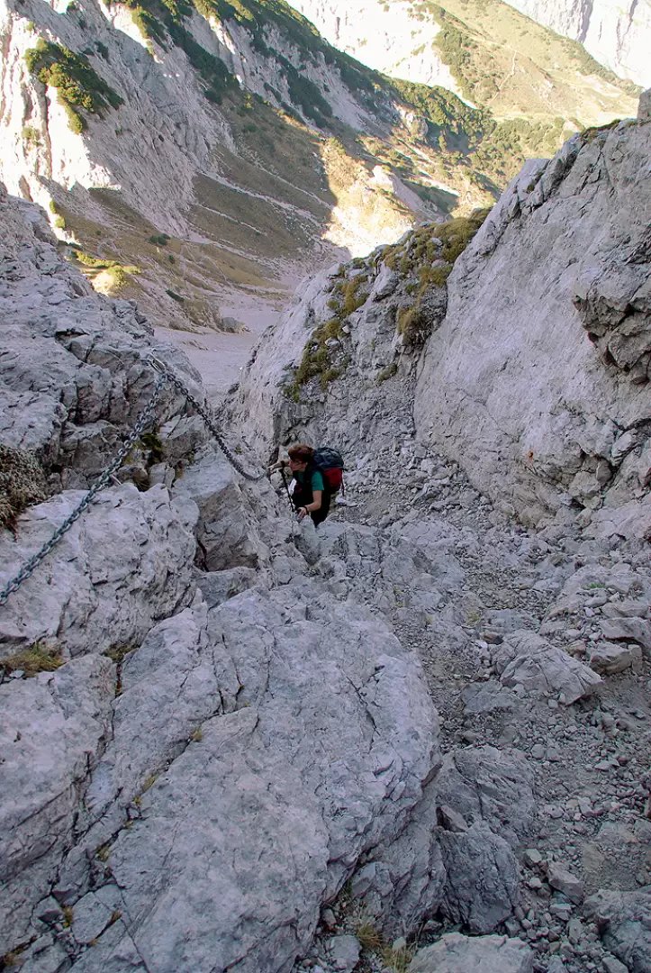
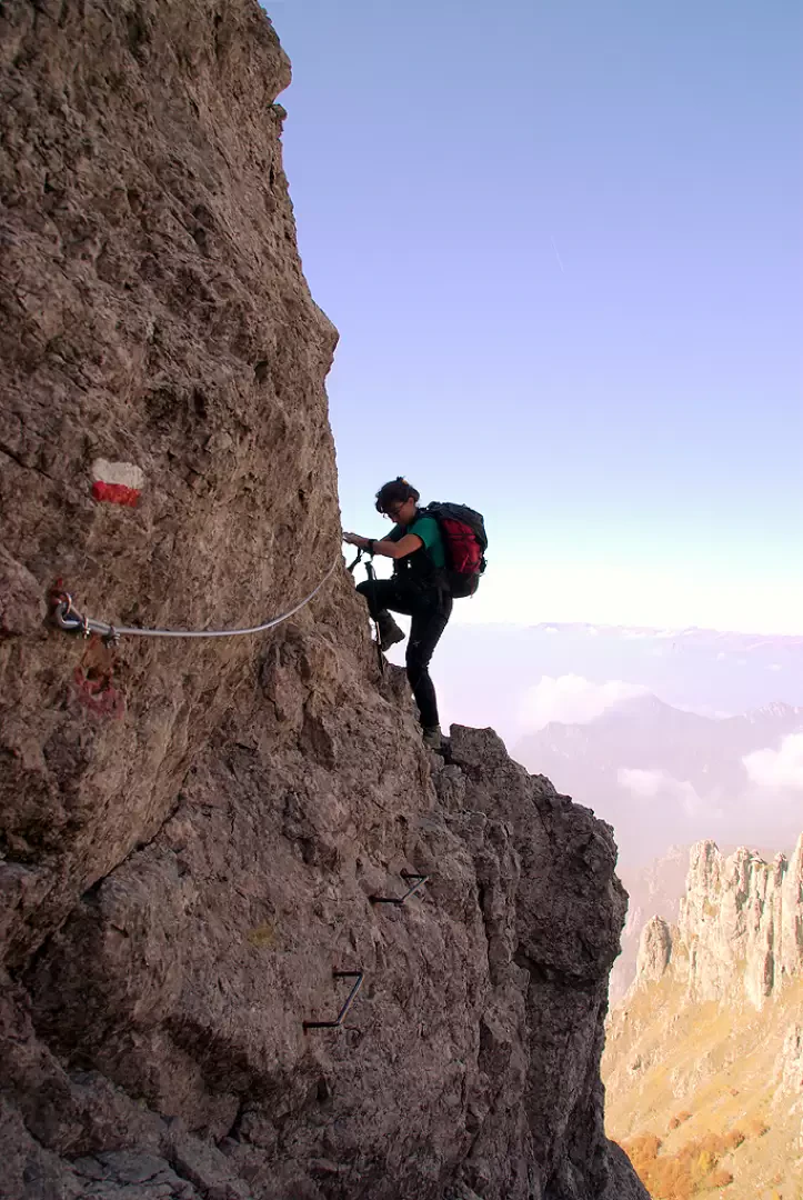
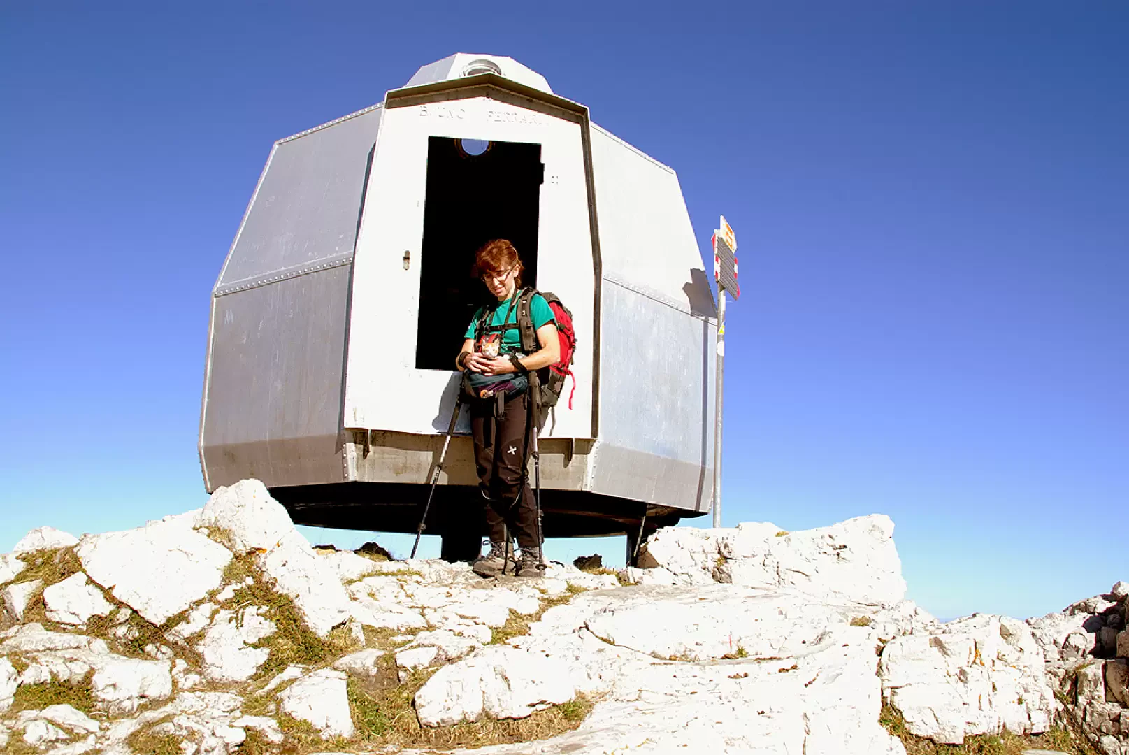
The Canalino is a little steep, with some equipment, but overall easier than many sections we have climbed before. You come out on the cramped Selletta Federazione 2124m, and, following the signs, to the right you tackle two vertical sections equipped with chains (very smooth rock from the passages) up to the Bivacco Ferrario at the summit of the Grignetta 2177m.
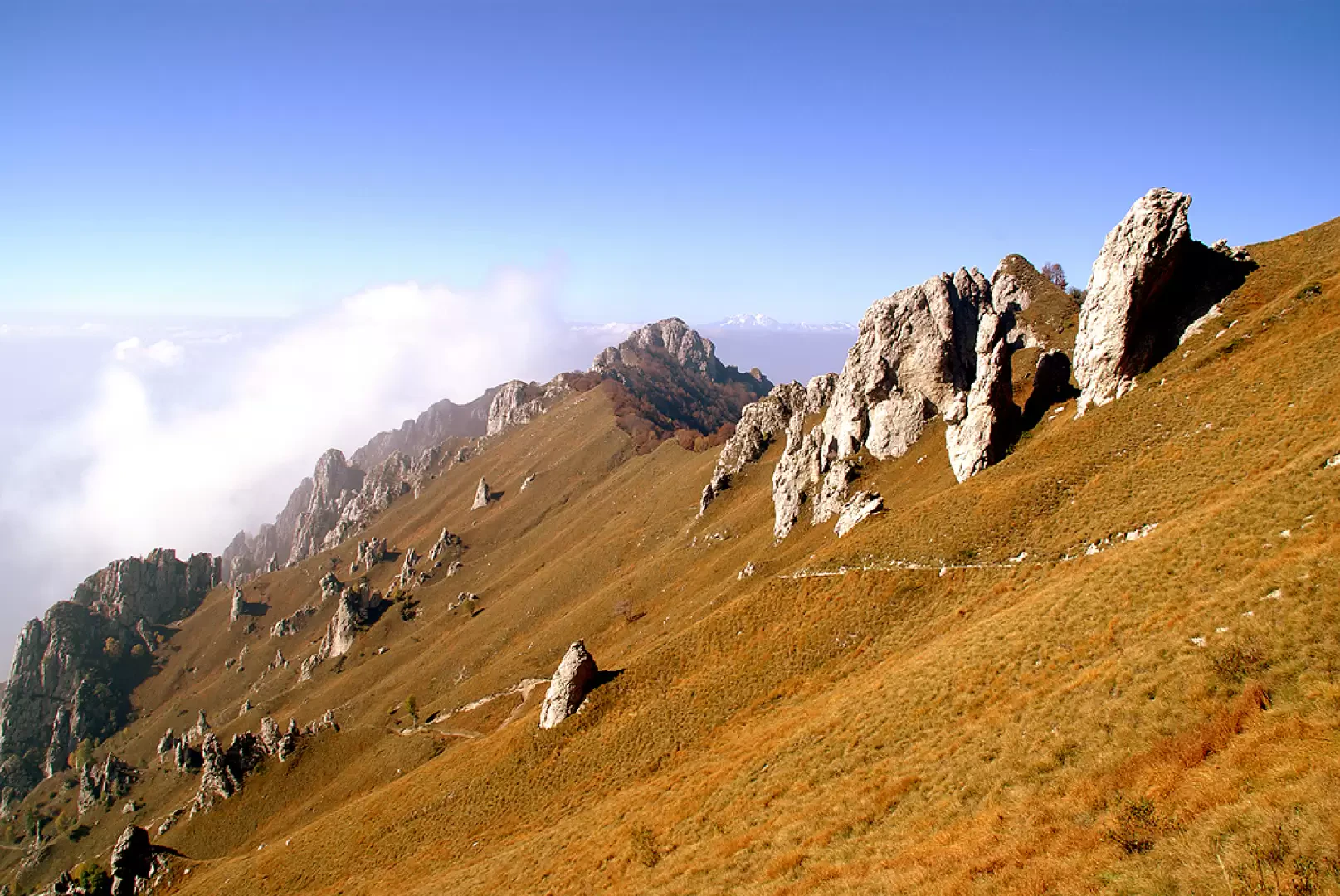
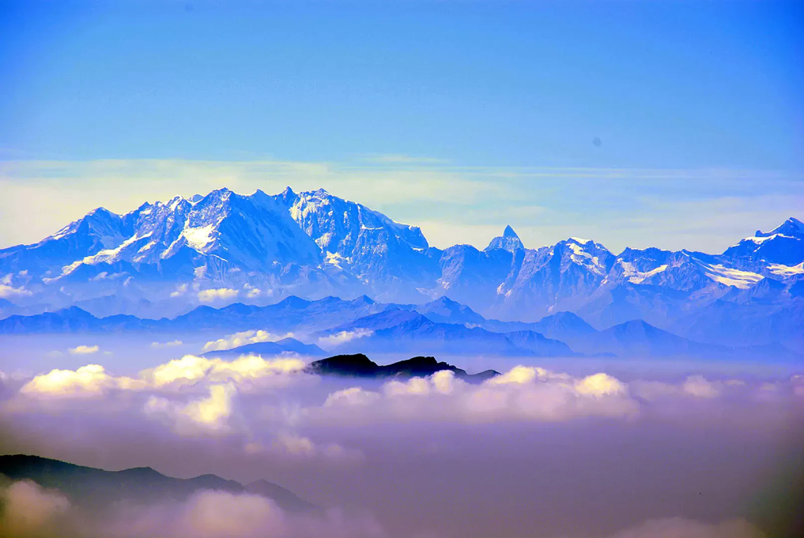
Beautiful panorama open in all directions, but often in the afternoon the humidity from the lake unfortunately produces mists that obstruct the view.
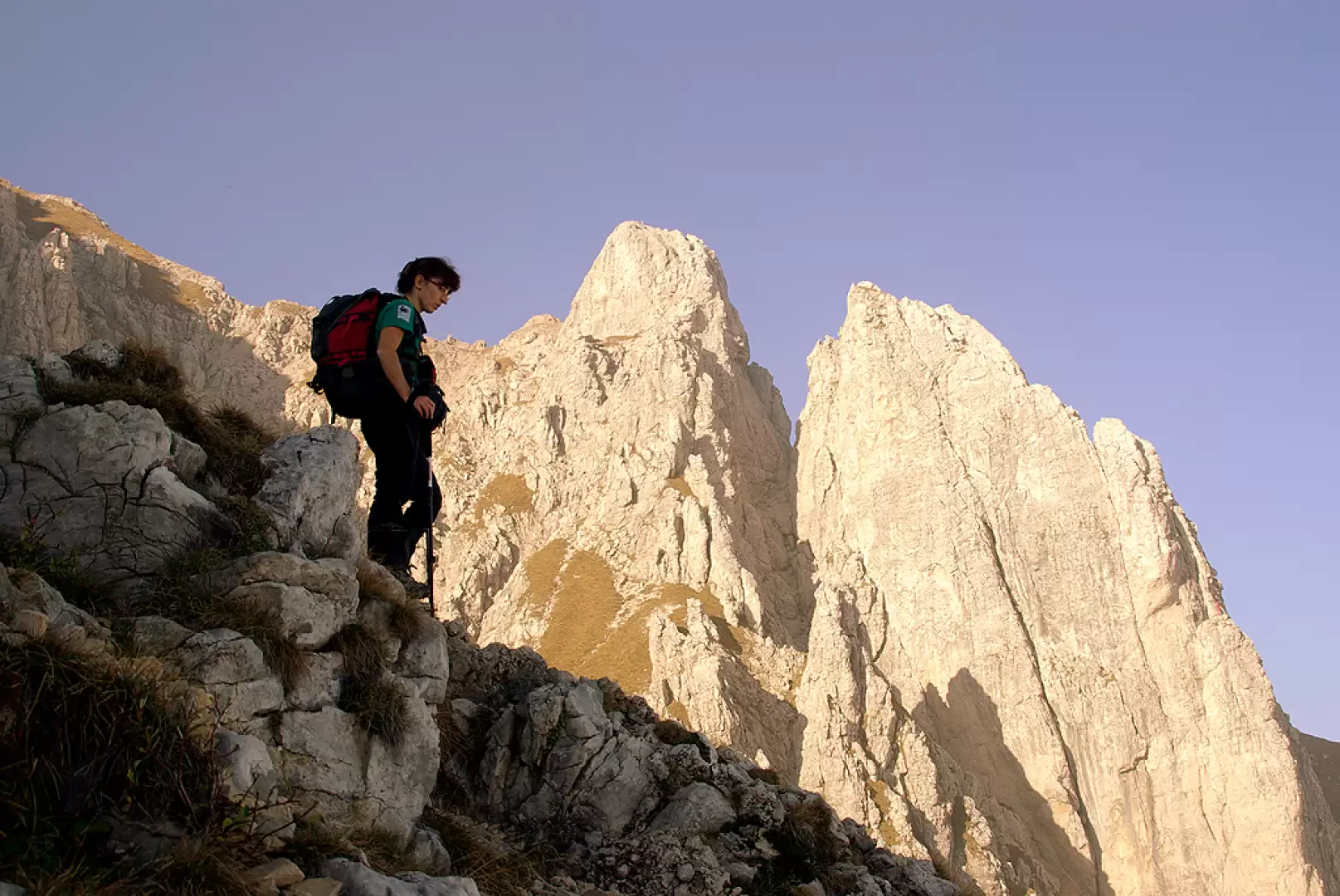
Attraversing the summit in a southerly direction, after a short chain (the last!), we begin to descend along the messy and numerous tracks of the Cresta Cermenati (normal route to the Grignetta), passing valleys - Canalone Caimi and Canalone Porta - and rock structures well known to climbers - Torrioni Magnaghi and Sigaro Dones -.
The path is very tiring, with steps, loose stones and smooth slabs.
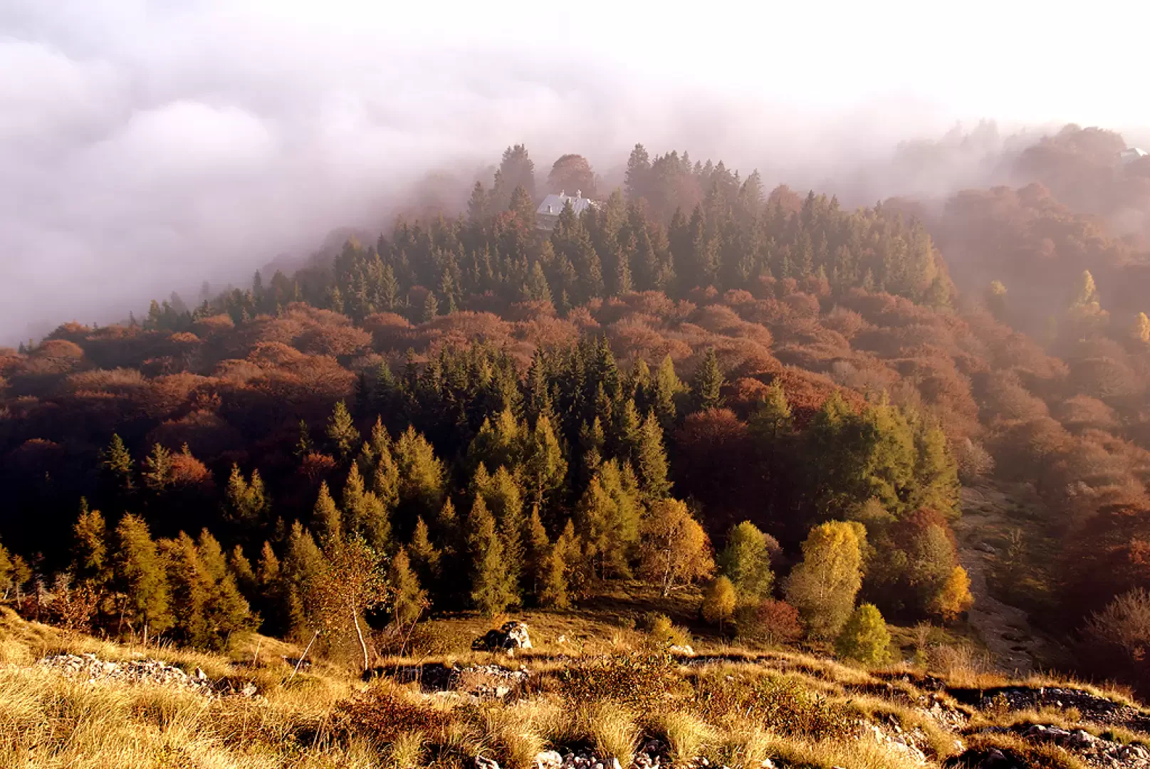
After about an hour, you suddenly enter a bright wood (Bosco Giulia) that extends behind the Porta hut; having reached it in a short time, take the service track on the right that leads - then on asphalt - to the departure car park.
Photo gallery
Comments (0)
Sign in to leave a comment