Felumaz, from Melignon


Edited by:
Massimo Martini
Updated at: 28/06/2025
Access
At the motorway exit of Saint-Pierre (Aosta West), continue in the direction of Courmayeur. After passing Saint-Pierre you reach Villeneuve where you cross the junction for Val di Rhêmes. You go up the regional road of the Val di Rhêmes, passing the municipalities of Introd, Rhêmes-Saint-Georges until you reach the village of Melignon: turn right and leave your car in the parking area in front of the village.
.Introduction
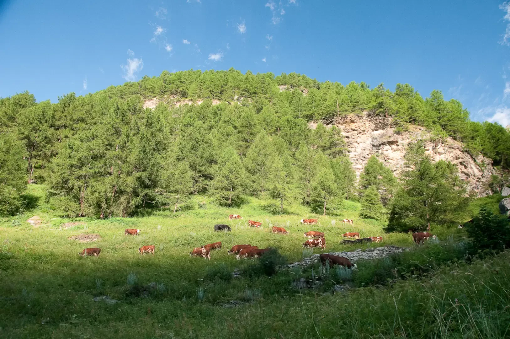
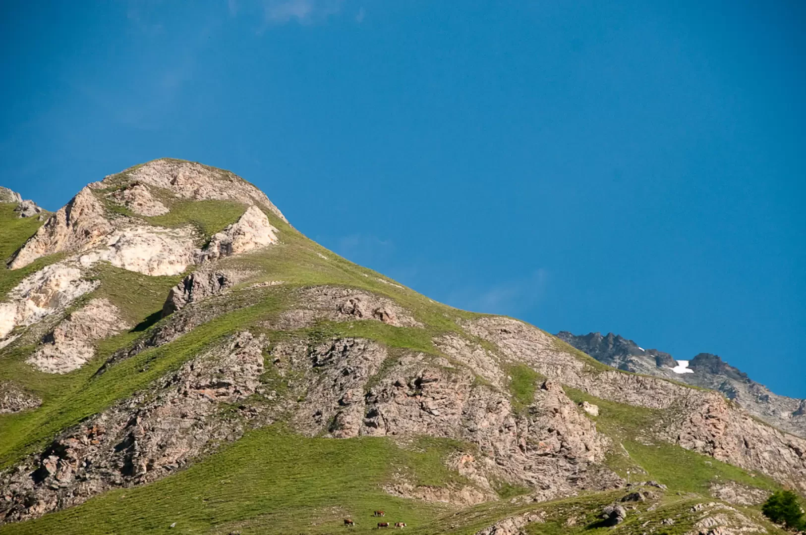
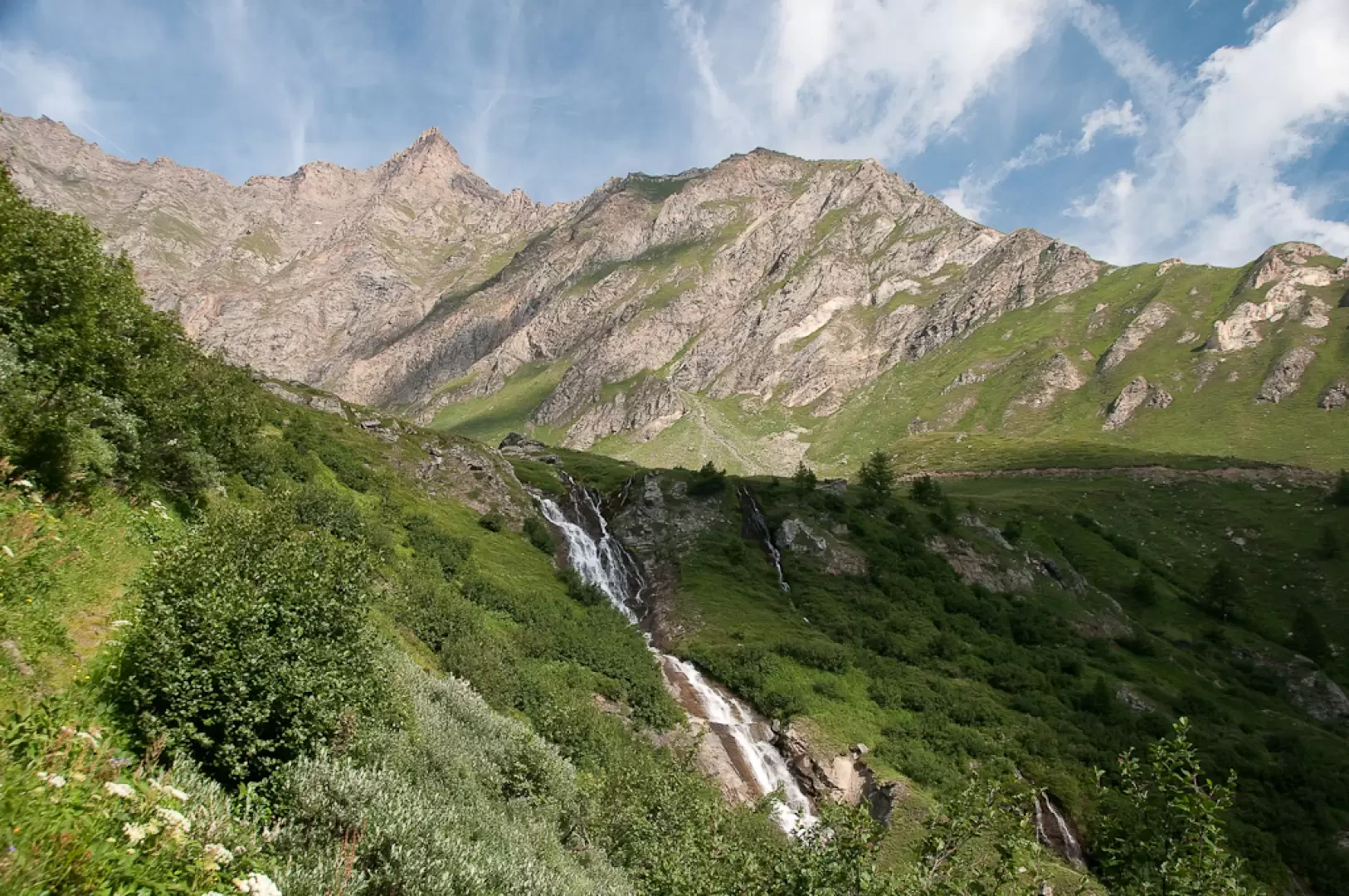
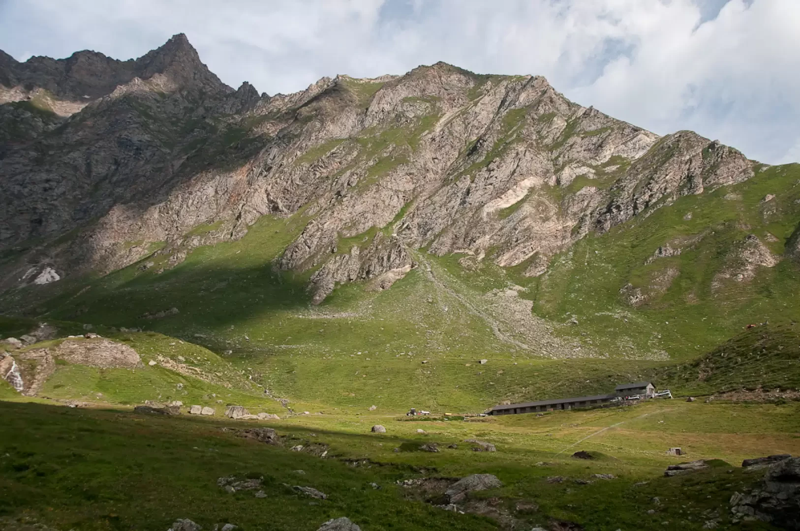
A pleasant hike on the heights of Rhêmes-Saint-Georges. The difference in altitude is not the greatest, but the climb is nonetheless felt as it is continuous and the slope is not the smoothest. When you reach the splendid Feleumaz basin, you can appreciate the modern mountain pasture and the stupendous crown of rocky peaks that surround it.
Description
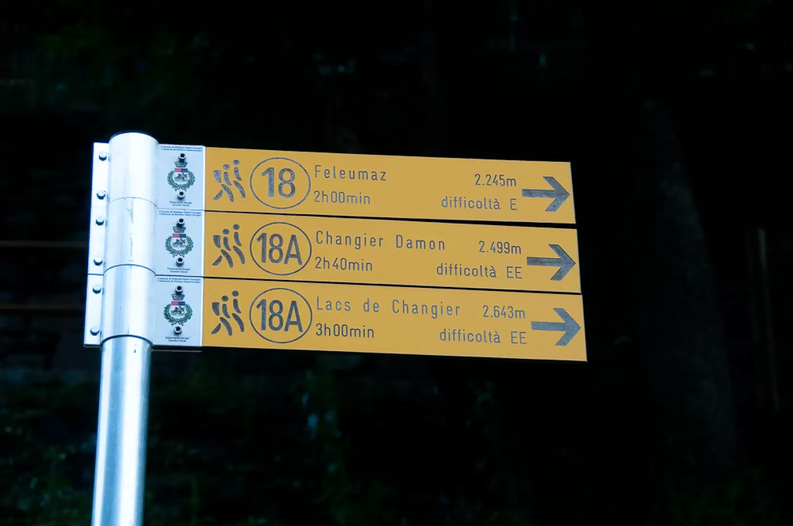
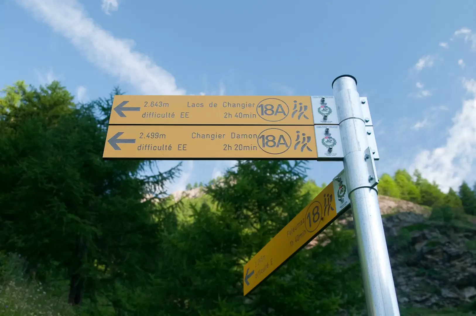
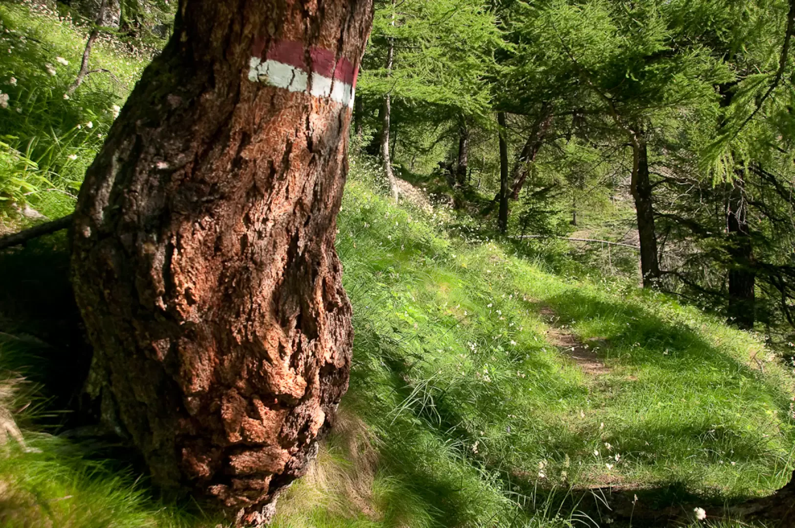
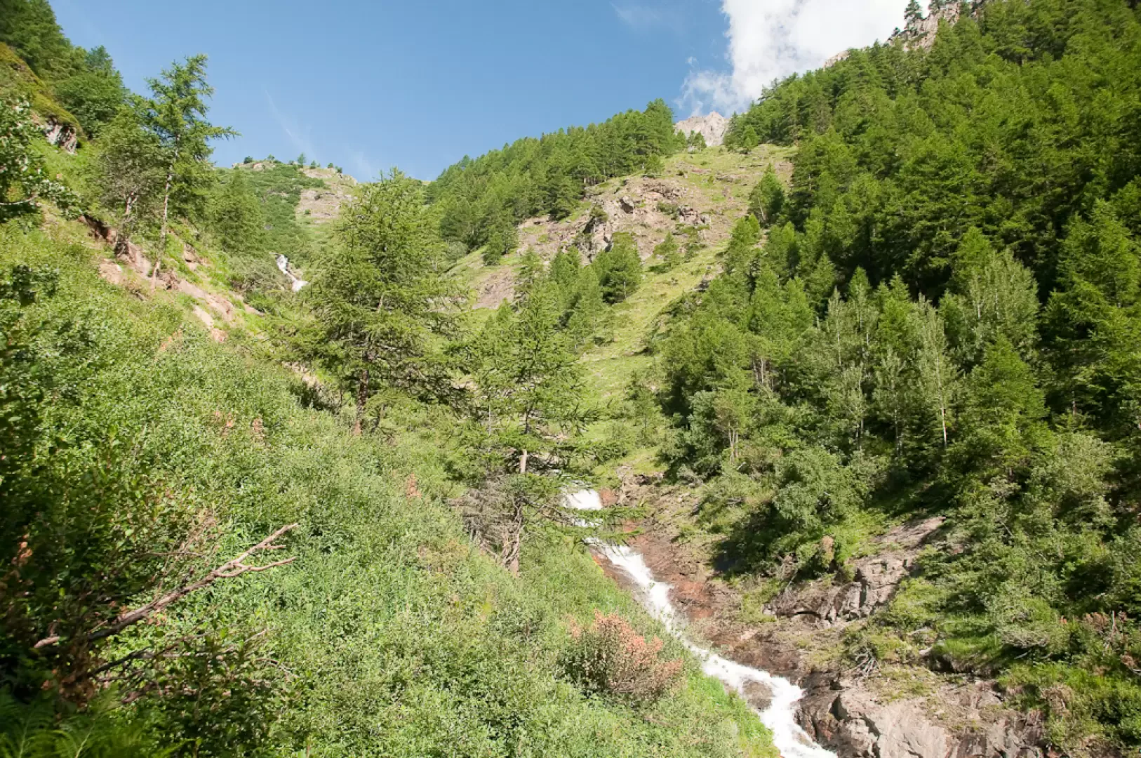
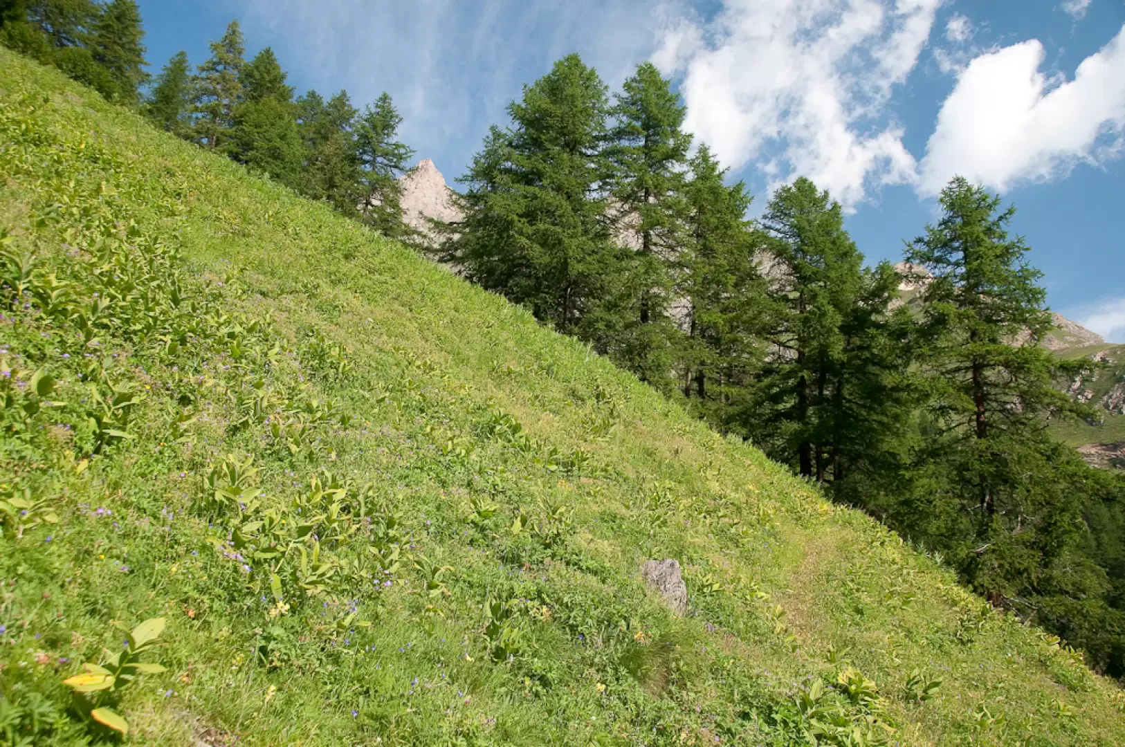
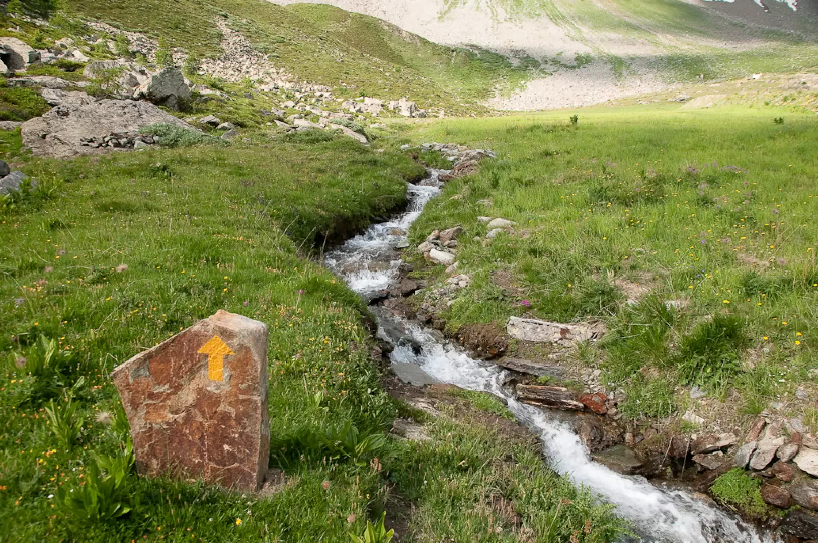
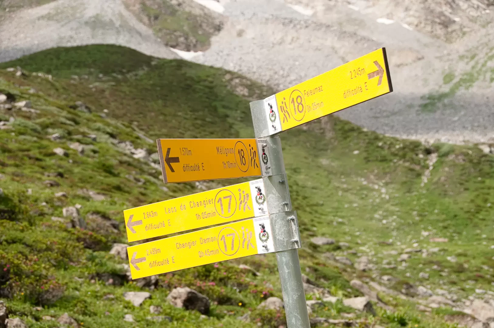
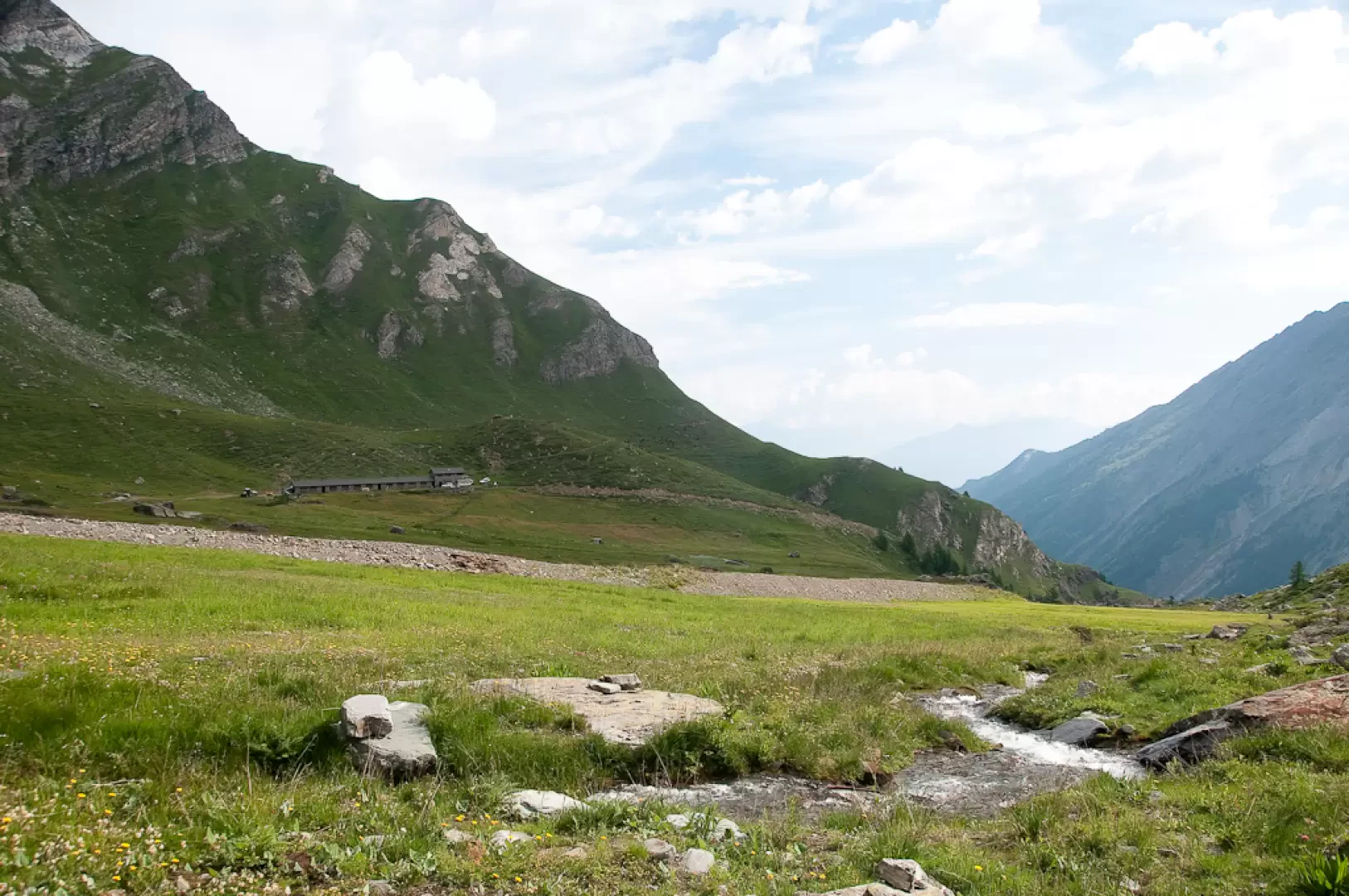
Leaving the car behind, proceed along the pleasant paved path bordered by wooden railings, which leads to Melignon (1,600m, 0h05') with a turn. Turn right and briefly follow the little road inside the village until reaching a fountain: here, continue to the right, following the yellow arrows, quickly leaving the village. Continue across the pastureland on an almost level path until you arrive above the village of La Barmaz; here the path turns left and climbs slightly up the slope, skirting some dry stone walls. After passing a second flat section, the path makes a wide left turn and leads to the foot of a marker post (1710m, 0h20'). Take the path (18) that heads right and quickly enters the forest. The path goes up the orographic right-hand side of the Feleumaz stream, which is visible from the path in places. The ascent is demanding but allows you to gain altitude quickly. After keeping briefly parallel to the line of the watercourse, the trail turns left and continues to climb through the predominantly larch forest, quickly reaching an altitude of 2,000m. It then heads back in the direction of the Feleumaz valley, reaching a short grassy clearing. Back in the forest, you face a short drainage gully (passage to be taken a little carefully) and then leave the forest for good as the little waterfall of the Feleumaz stream appears before your eyes. Proceed in the direction of the waterfall with an ascending half slope and then turn sharply to the left, taking you in a few minutes to the edge of the splendid pastureland before the mountain pasture. Follow the signposts (yellow arrows placed on vertical stones) to skirt the stream, crossing it about halfway up the plateau, and reach the path (17) to Changier damon (2220m, 1h55'). Disregard the path to the left and continue to the right following the signs for Feleumaz: in a few minutes you will reach the mountain pasture (2232m, 2h00').
The return is along the same route taken uphill (1h15').
Photo gallery
Comments (0)
Sign in to leave a comment