Domianaz, from Panorama
Access
Leaving the [A5] motorway at the Châtillon/Saint-Vincent exit, turn right heading towards the spa town. After passing a traffic light, continue straight on for about 400m before reaching Località Panorama and meeting, on the right, a large free car park where you can leave your car.
[0h03'] - [1.8km]
How to get there with GMAPS
How to get there with Apple Maps
How to get there with Moovit
The information provided here was verified at the time of the route survey. Before setting off, it is advisable to ensure that no substantial changes have occurred on the route to the starting point. We therefore recommend the use of the satellite navigation apps provided by Google or Apple for up-to-date and detailed directions.
Introduction
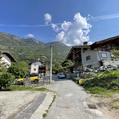
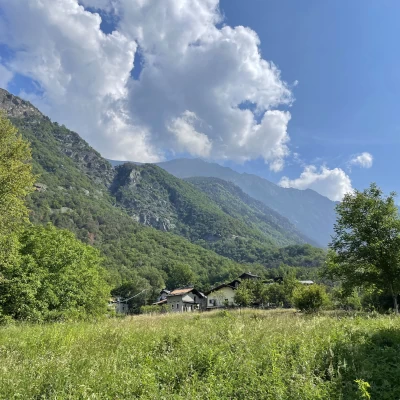
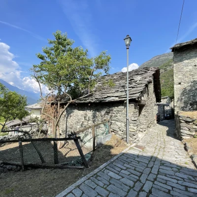
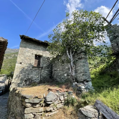
Short hike through the villages of the so-called 'hill' of Châtillon. The route leads to the pretty village of Domianaz on the slopes of Mont Zerbion.
.Description
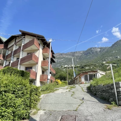
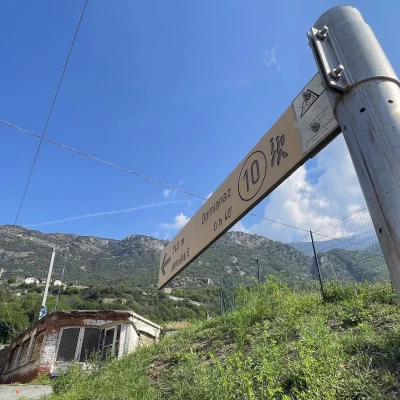
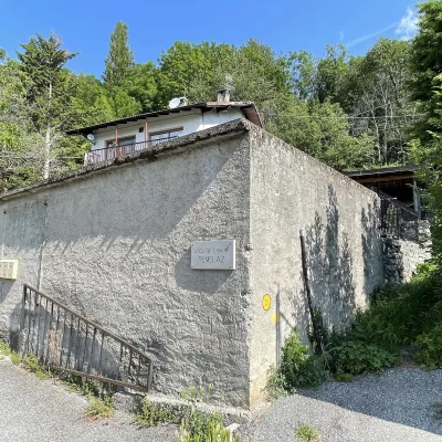
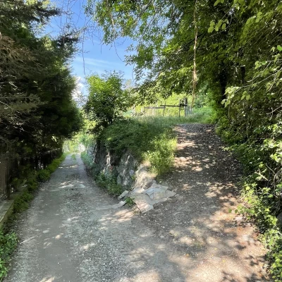
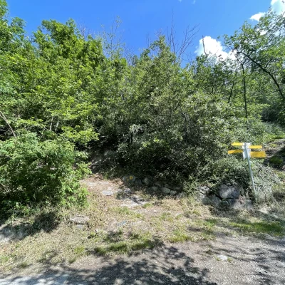
0h00' From the car park, go up the pavement for about a hundred metres until you come to a pedestrian crossing: cross the road and take the lane to the right of Hotel Sylcri. A signpost indicates that you are starting on path to Domianaz. Follow the path briefly past a few houses before reaching a clearing at Remelaz, where a yellow marker directs the walk back onto a short stretch of path that joins a farm track.
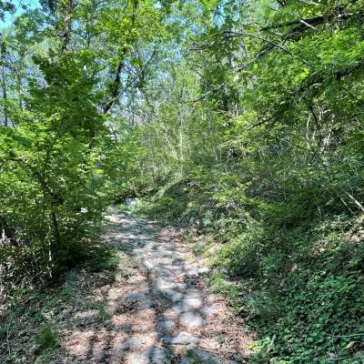
0h05' Turn left and walk along the little road for a few dozen metres before turning right onto a path which, after a short stretch that is almost flat, begins to climb up through the wood with a series of hairpin bends until it crosses the Ru de la Plaine path.
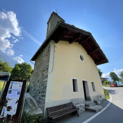
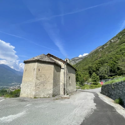
0h10' Continue following the signs for the Balteo Path to La Magdeleine and, after a short ascent, join a small road that crosses the village of Verlex 💧. Follow the little road until the next crossroads with the hill road and, near the chapel dedicated to saints Fabian and Sebastian, turn right to take the little road that leads to the village of La Tour.
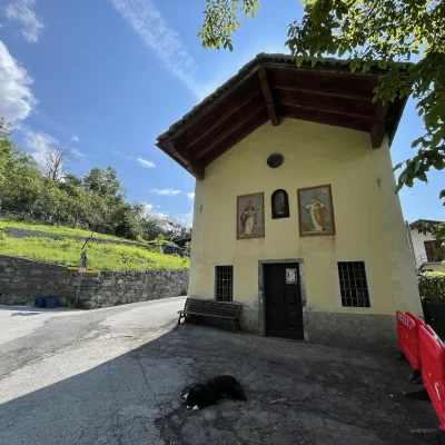
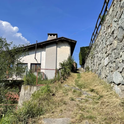
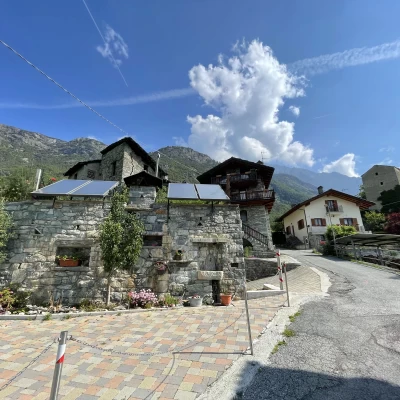
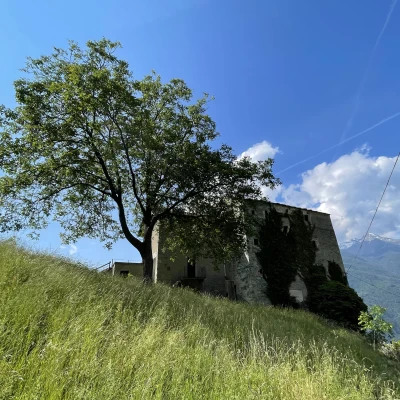
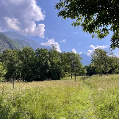
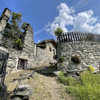
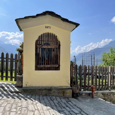
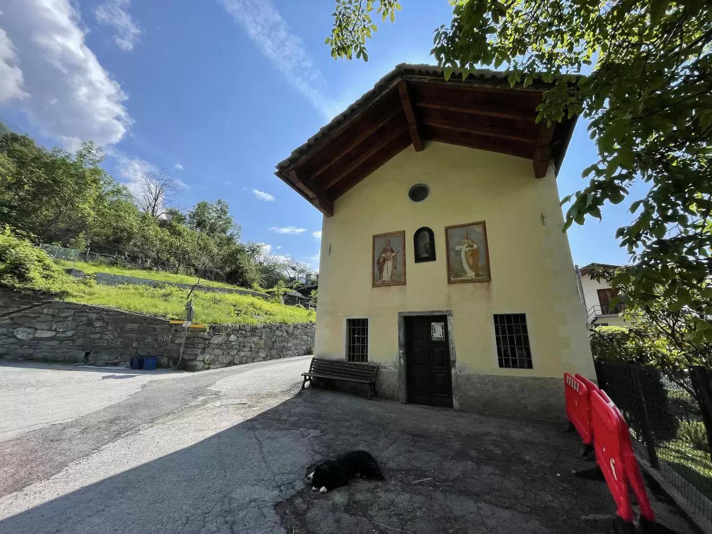
0h20' Climb up the little road that crosses the village of La Tour 💧 to its summit where it turns right and leads to the start of the path. A new bollard of the Camino Balteo indicates the correct direction. Climb up the path in front of the Tour Decré d'Emarèse. After an initial ascent, the path flattens out slightly as it crosses a pleasant pastureland with the village of Domianaz now in sight. The path keeps to the right of the pastureland and amidst some chestnut scrub leads close to the village, which is reached by a small ramp. At a votive shrine 💧 dating from 1871, turn left to take the little road that crosses the village and leads to the little square in front of the chapel dedicated to Saint-Roch (736m)0h35' .
The descent follows the same route as on the way up 0h25' .
