Crest dessous, from Pontboset


Edited by:
Massimo Martini
Updated at: 01/02/2026
Access
After 150 metres from the motorway junction exit at Pont-Saint-Martin, turn left and take the Strada Statale in the direction of Aosta. At the first roundabout, take the second exit to continue on the . Continue for 2.2 km, passing through Donnas, until the next roundabout. At the roundabout, take the second exit to stay on the . Continue for about 3 km until you reach another roundabout near the Fortress of Bard. Here, take the third exit and take the Strada Regionale in the direction of Valle di Champorcher. Continue for 6.2 km on , passing through Hône, until you reach Pontboset. In Pontboset, turn left onto the small communal road and continue until you reach the 🅿️ car park in front of the post office.
[0h18'] - [13,1km]
How to get there with GMaps
How to get there with Apple Maps
The directions provided have been carefully checked as of the date the route was taken. However, it is highly recommended to check for any changes that may have occurred since then, especially regarding the route to the starting point. Before embarking on your journey, it is advisable to consult up-to-date navigation tools for accurate and up-to-date directions. We recommend the use of satellite navigation apps, such as Google Maps or Apple Maps, to ensure the most accurate and safe route.
Introduction
Pontboset is a charming little hamlet located at the beginning of the Champorcher valley, nestled in a particularly picturesque position between a vast rock face and the rushing Ayasse stream. This small village, characterised by a peaceful and serene atmosphere, is the ideal starting point for hikes that allow you to explore the surrounding woods, mountain pastures and some of the most venerated places of worship in Valle d'Aosta, such as the Retempio Sanctuary.
The proposed itinerary begins in the centre of Pontboset, where you take a path that winds through the village, crossing characteristic stone bridges and passing small streams flowing between the rocks. The route, which is well signposted and also suitable for less experienced hikers, offers breathtaking views of the surrounding natural environment, characterised by deep gorges, crystal-clear water pools and lush forests. The hike follows a series of ancient paved mule tracks, bearing witness to the historical past of the place, finally leading to the picturesque village of Crest, a perfect example of Aosta Valley rural architecture.
This route is not only a journey into nature, but also an immersion in local history and culture, offering the opportunity to admire the centuries-old erosion of the rocks and the ingenious structures created by man to adapt to an environment as harsh as it is fascinating.
Description
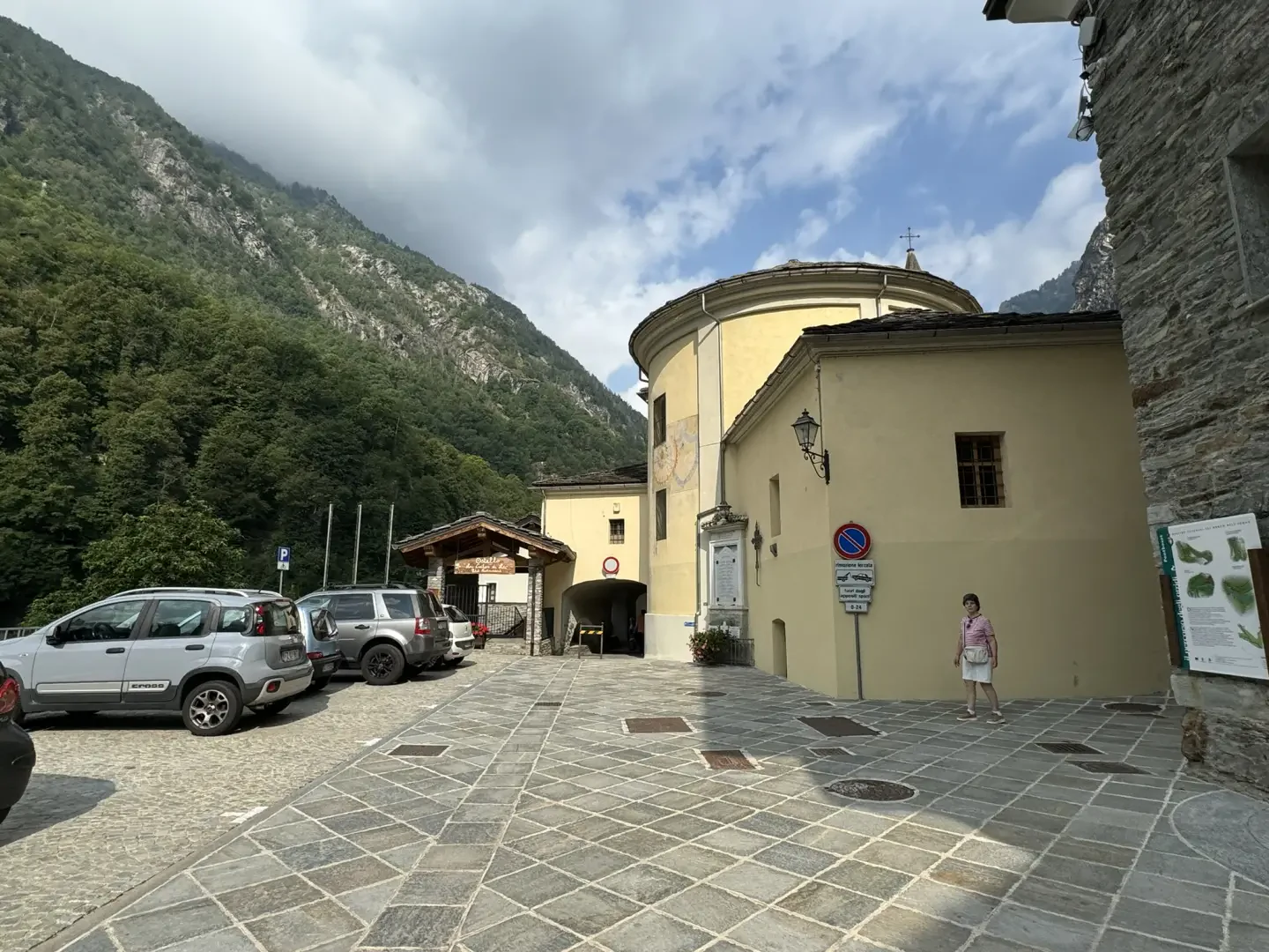
0h00' 0.00km From the car park, take a lane passing near the "Lou Créton di Lùi" hostel and under an archway of the parish church, before reaching the pretty central square of Pontboset. Continue straight on until you come to a blue signposting panel of the "Sentiero dei Ponti e degli Orridi" (bridges and ravines path). Turn left and follow the signs for the "Sentiero dei Ponti e degli Orridi" downhill until you reach a signpost indicating the Balteo Path.
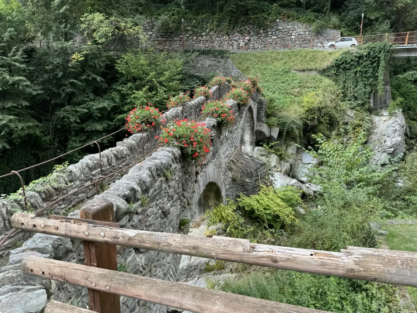
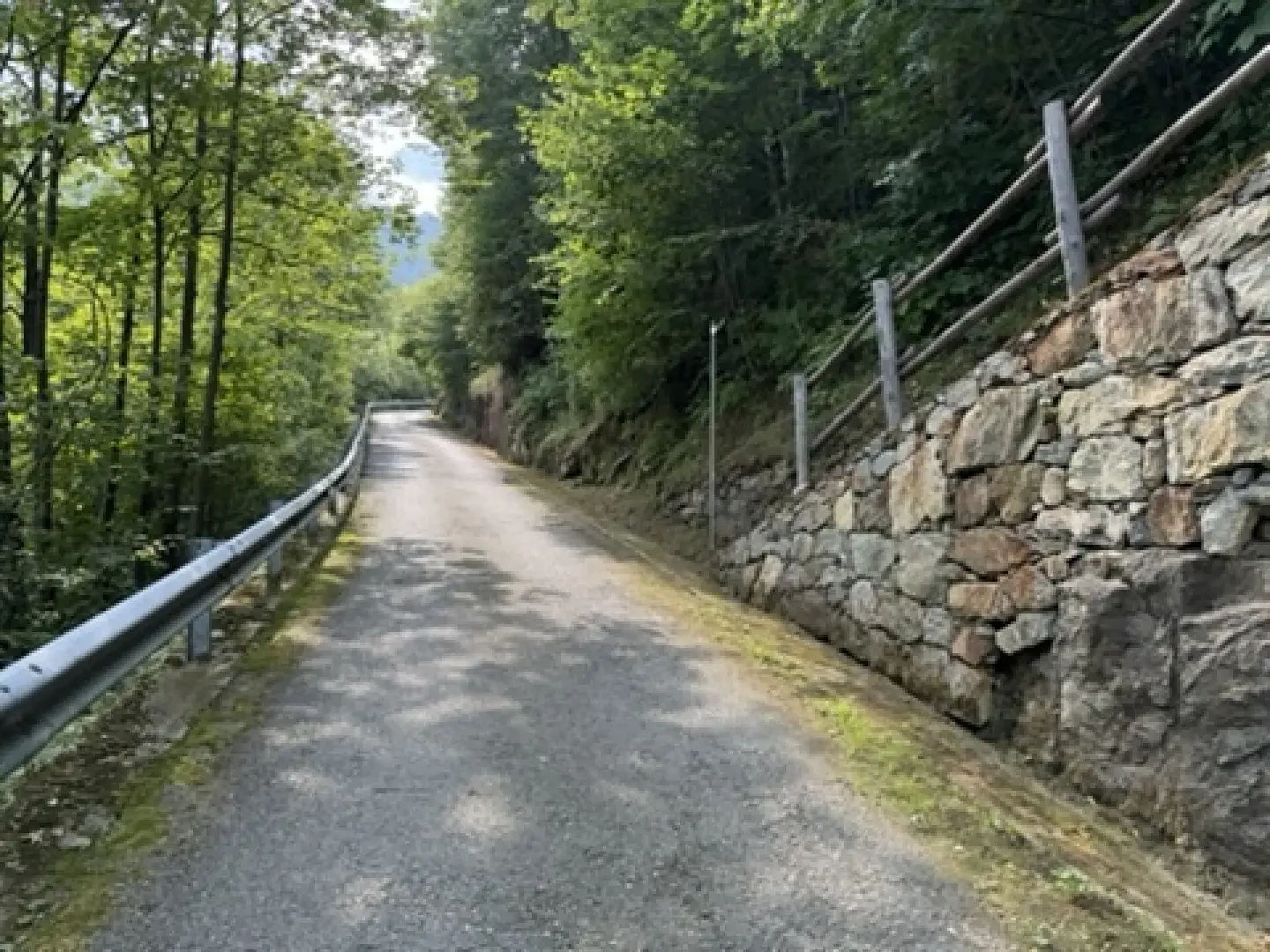
0h05' 0.23km Continue straight on towards the characteristic double-arched bridge over the Ayasse stream. When you reach the orographic right of the valley, turn right and follow the road for about 300 metres, until you come to some tourist panels and the start of the mule track.
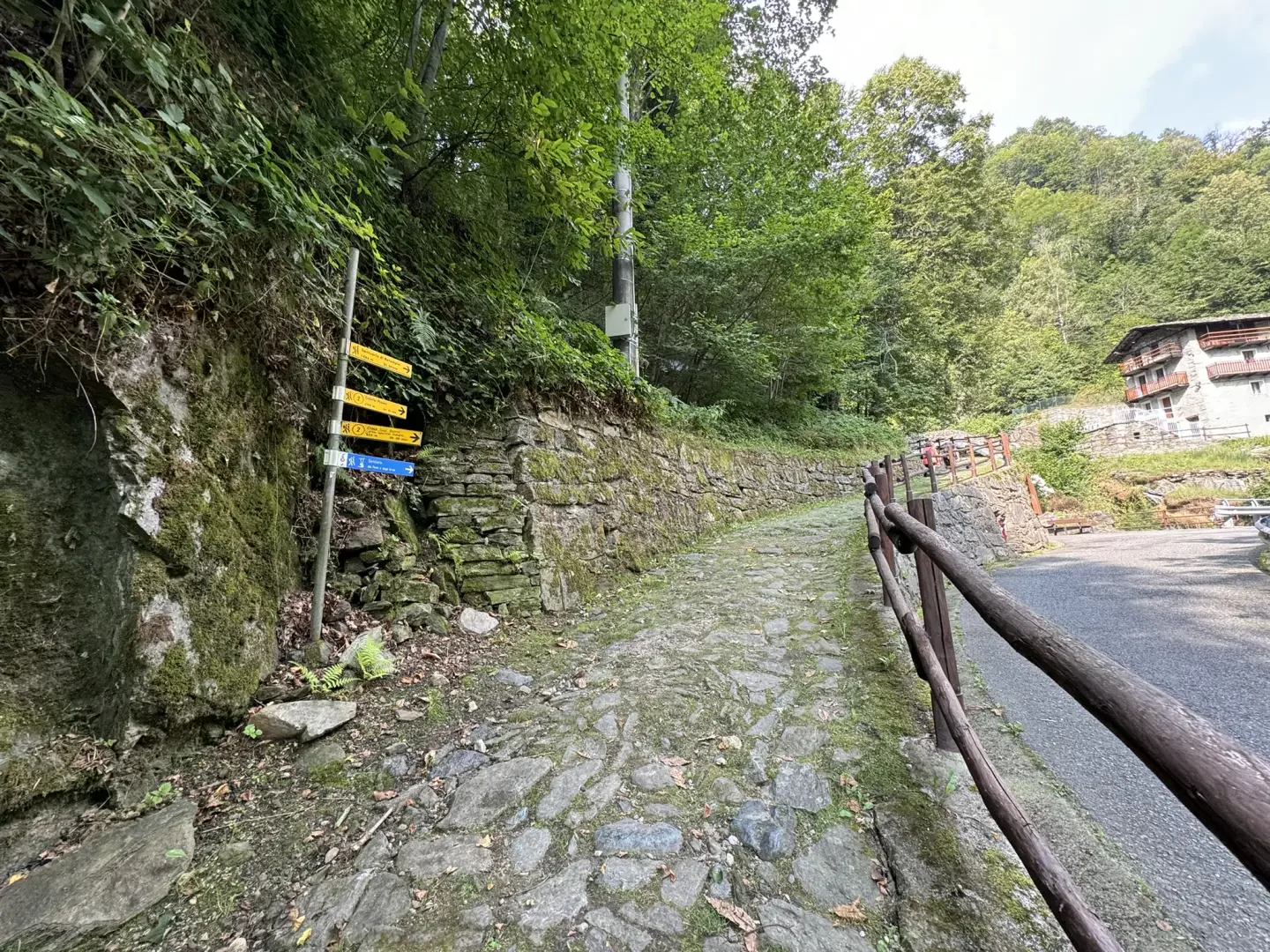
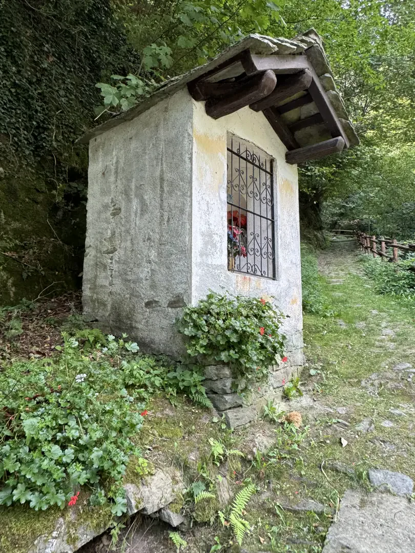
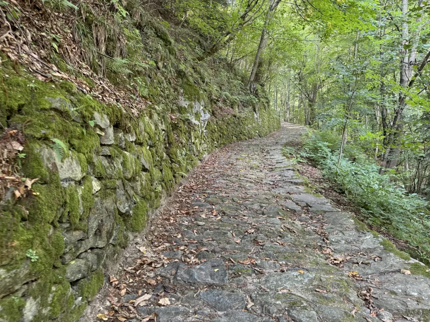
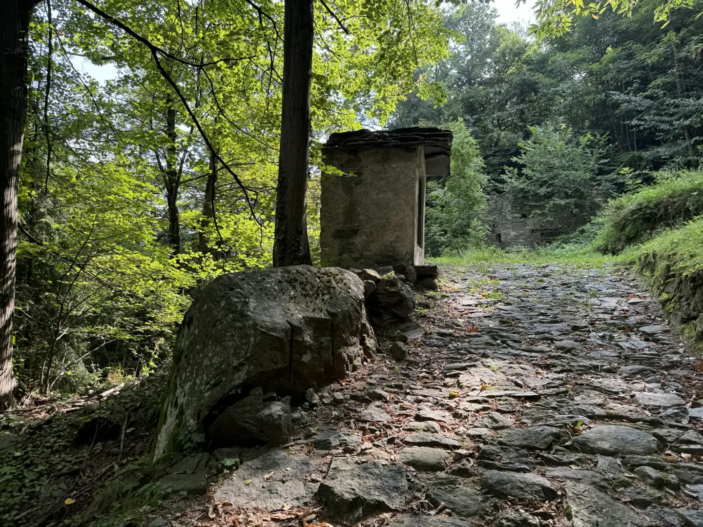
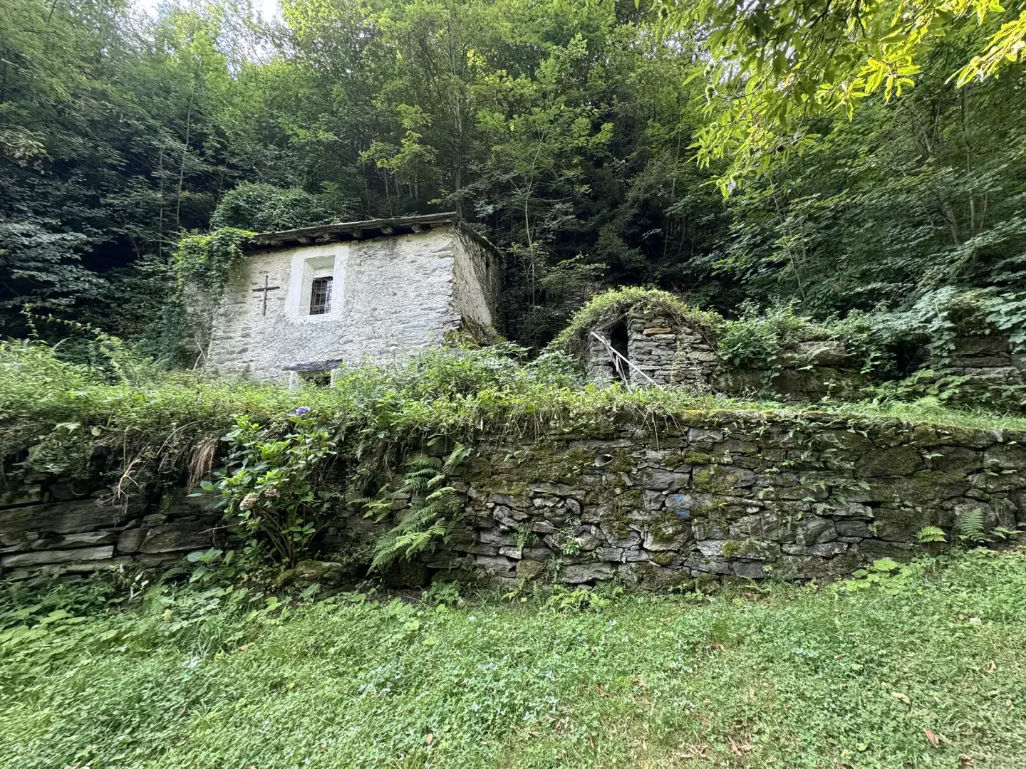
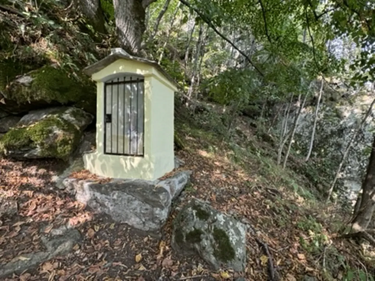
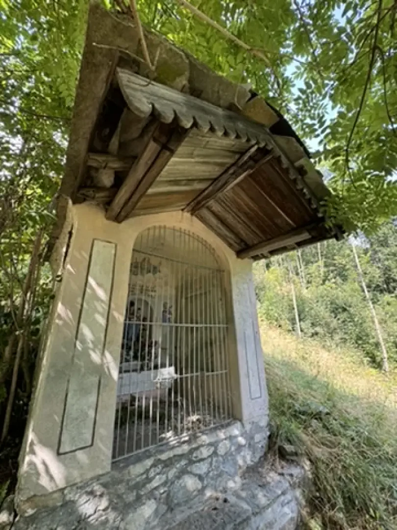
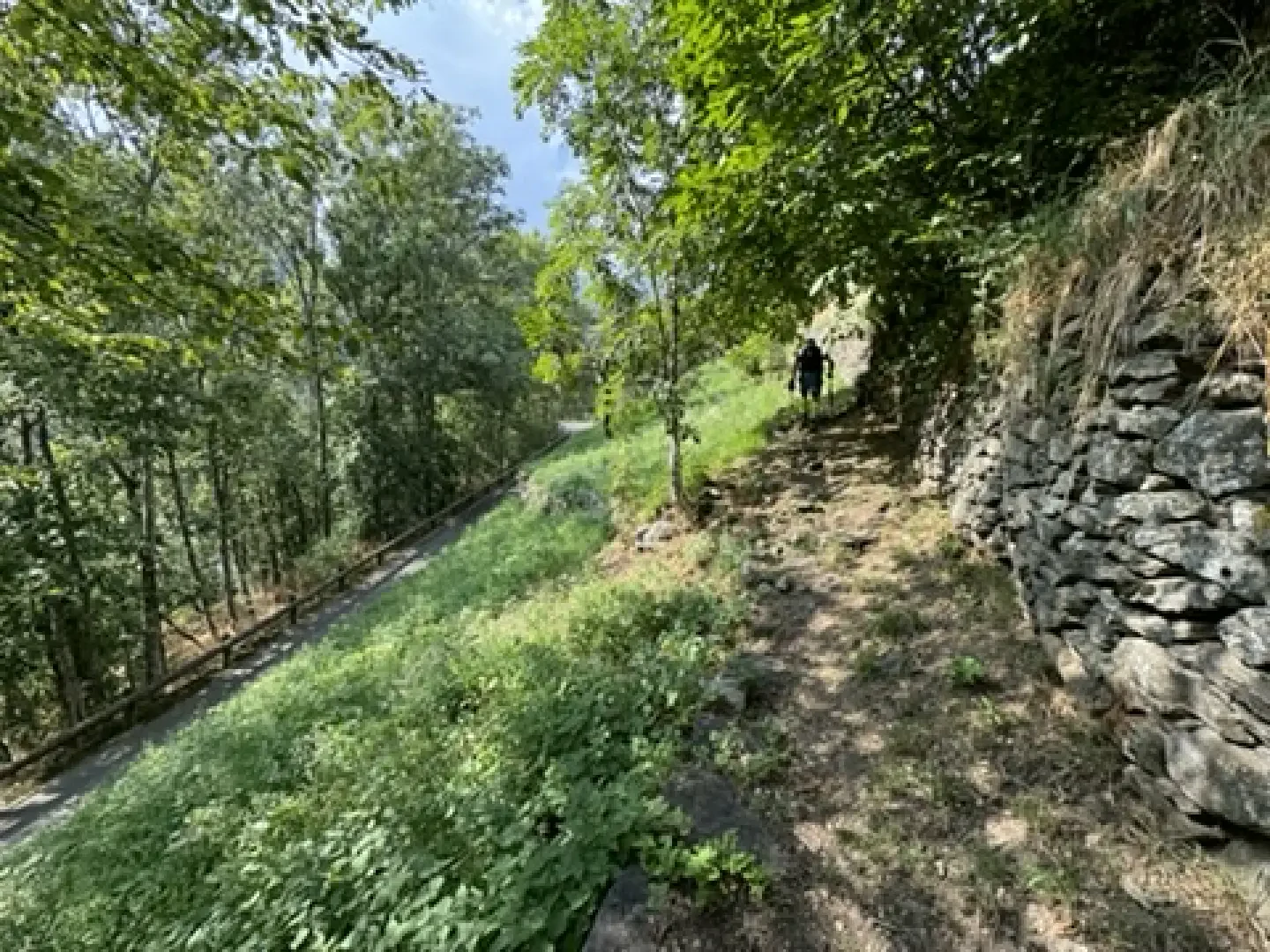
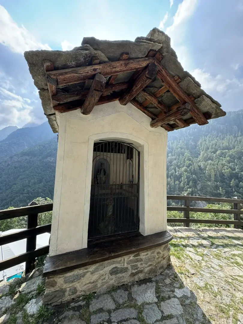
0h10' 0.59km SS Turn right and take the beautiful paved mule track that runs alongside a first votive shrine and, shortly afterwards, the bridge over the Mandaz stream. With a constant gradient and wide bends, the mule track climbs the slope through chestnut woodland (Castanea sativa) and cool undergrowth of aquiline fern (Pteridium aquilinum). Reaching a new votive shrine and a hamlet with a wooden cross on the wall, proceed for a few more moments before reaching a brown marker with signs for Crest.
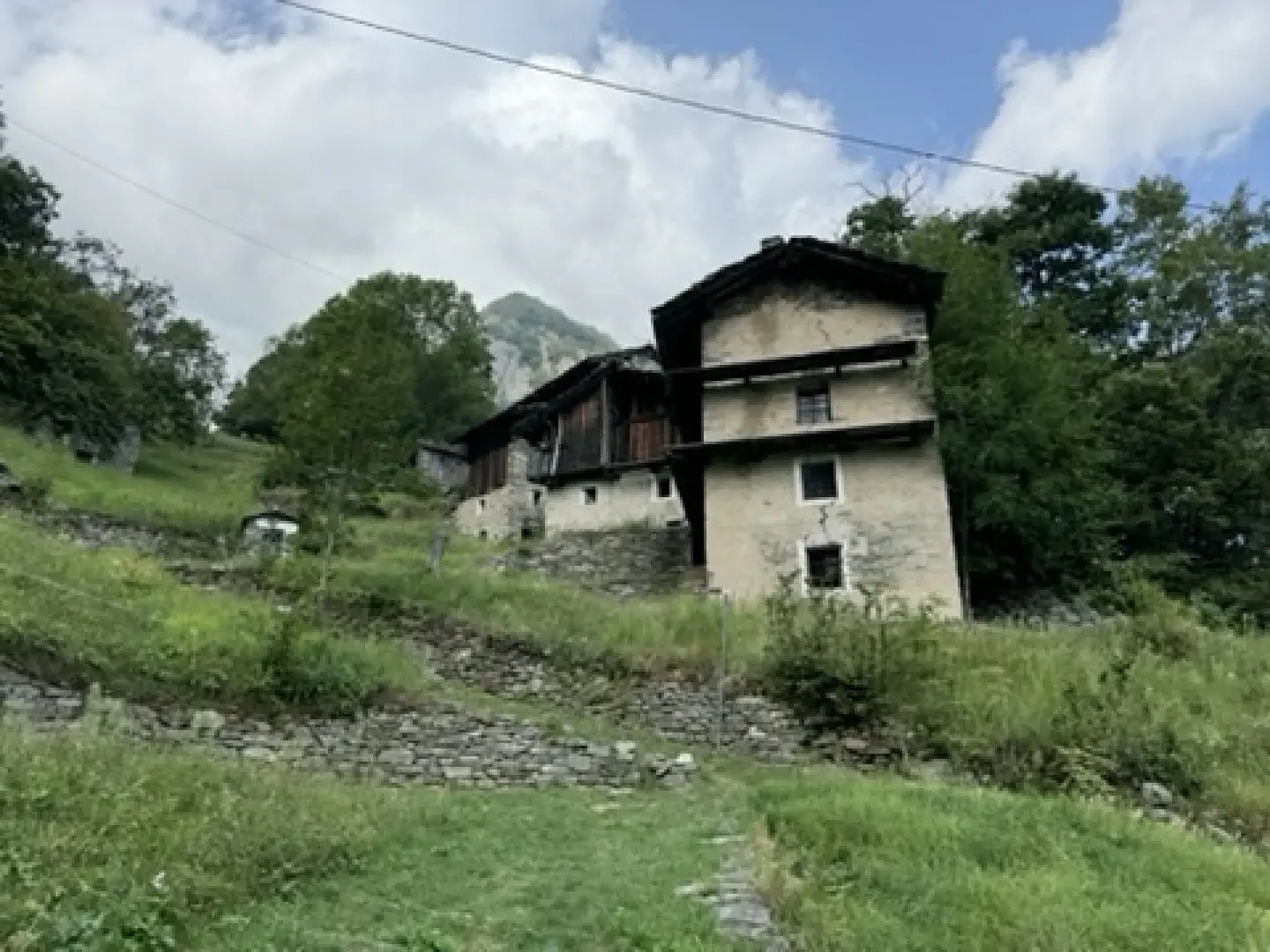
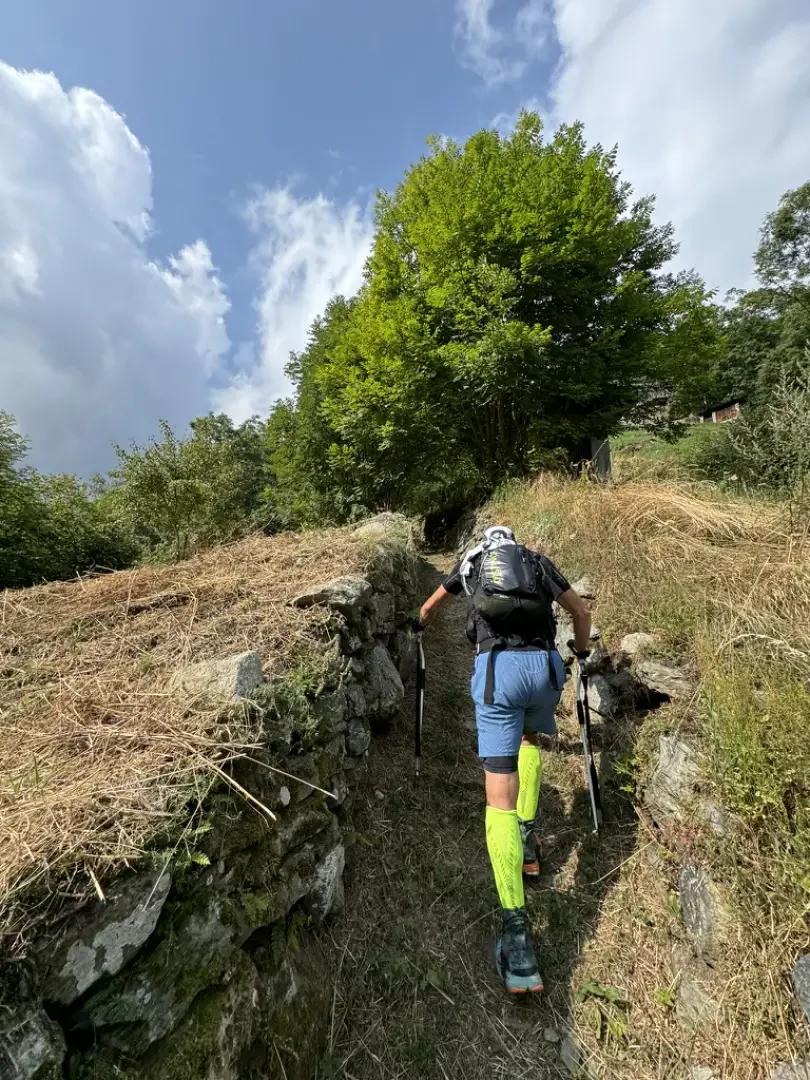
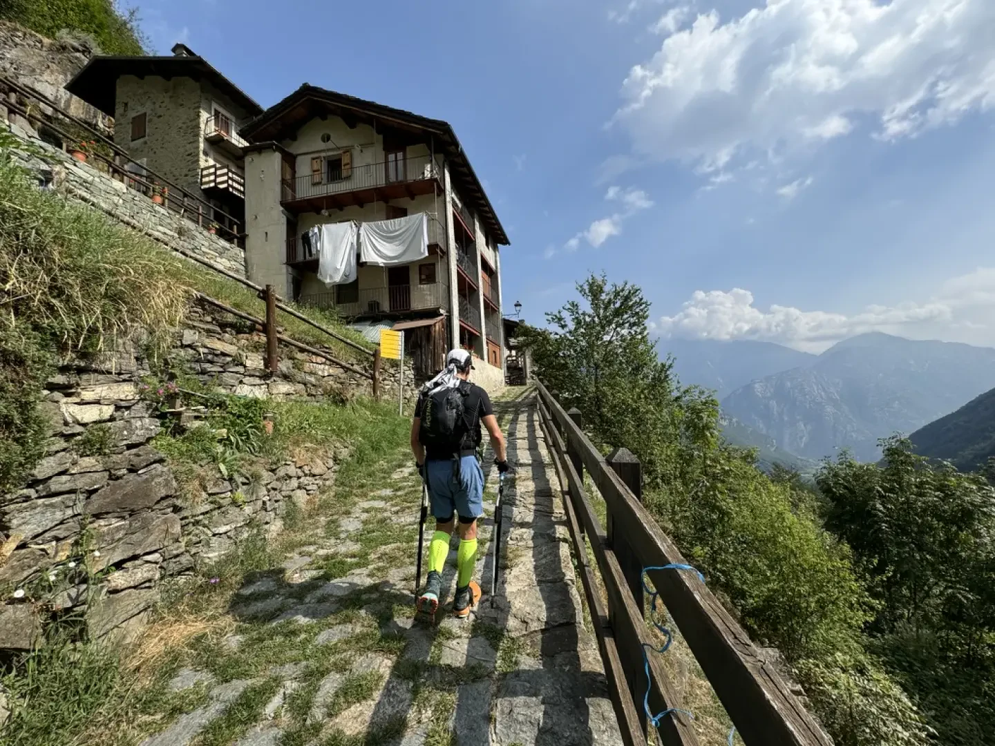
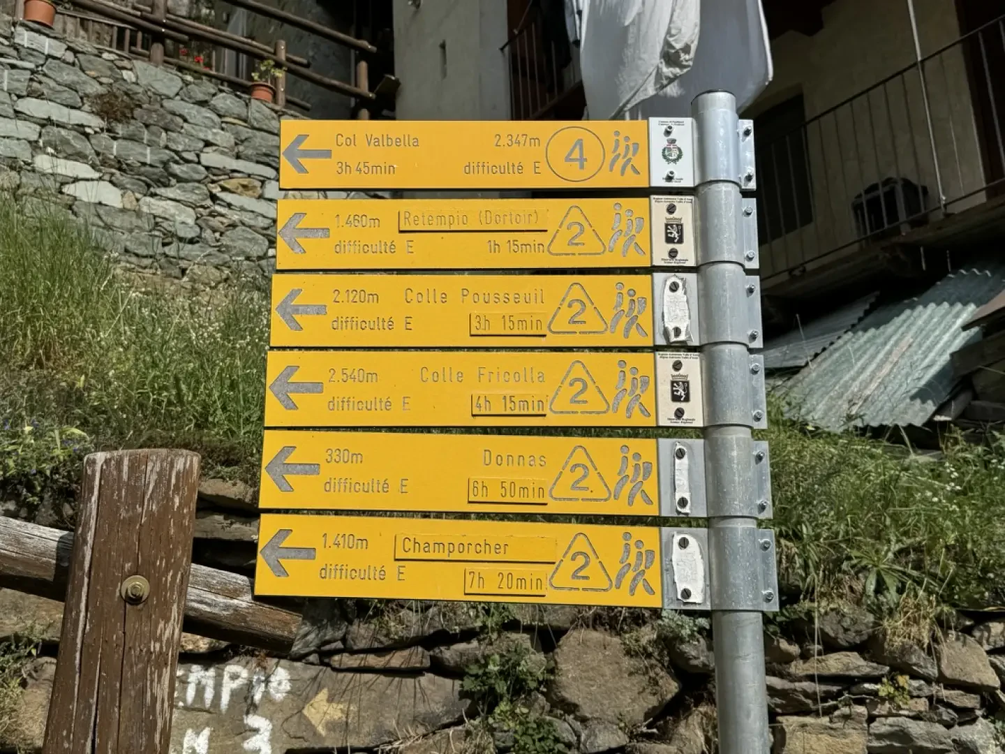
0h35' 1.21km Turn right and, after passing a few steps, you will reach the characteristic hamlets of Creux (922m). Behind the houses, turn left and climb diagonally up the slope until you join the little communal road to Crest, which must be followed for about a hundred metres before rejoining the path on the right. Go back into the forest and, after passing another votive shrine, meet the tarmac road again. Keep to the right and climb up the last stretch of mule track. Go past the last votive shrine and, after leaving the forest, reach the small access road to the village. Turn right and, in a few metres, you will come to the signposts indicating the paths in the area, and finally reach the characteristic village of Crest dessous (1096m) 1h00' 1.93km .
The return journey takes place along the same route as the ascent 1h00' 1.93km
.
Points of interest
- Pontboset
- St. Grato Parish Church
- Historic Pontboset
- Creux
- Crest dessous
Collections
- hikes departing from Pontboset - on the map
- hiking in the Champorcher Valley - on the map
- hiking to villages in the Aosta Valley - on the map
Photo gallery
Comments (0)
Sign in to leave a comment