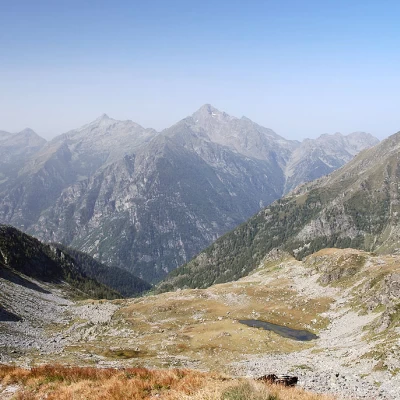
Colle della Mologna Grande, from Niel

Access
After 150m from the motorway junction exit at Pont-Saint-Martin, turn right and take the second exit at the first roundabout. A little further on at the second roundabout: take the third exit, and enter the town of Pont-Saint-Martin. After a few hundred metres, turn right onto for the Valle del Lys. Go up the regional road for 17.3km, passing the villages of Lillianes, Fontainemore, Issime and Gaby. At the centre of the village, just before the bridge over the Varail de Niel dsvolve to the right and take the narrow communal road which, after a succession of hairpin bends and 5.1km, reaches the pretty village of Niel: just before the village there is a car park 🅿️ with about 10 spaces where you can leave your car free of charge. If there is no space, turn around and leave your car in one of the two small car parks on the side of the road.
[0h3'7] - [23.8km]
How to get there with GMaps
How to get there with Apple Maps
The directions given here were verified on the date the route was surveyed. Before setting off, it is advisable to ensure that no substantial changes have occurred on the route to the starting point. We therefore recommend the use of the satellite navigation apps provided by Google or Apple for up-to-date and detailed directions.
Introduction
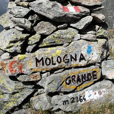
A pass already transited in ancient times for trade and contacts between populations, the Colle della Mologna Grande connects the Piedicavallo area in the Biella region with the Valle del Lys. Nowadays, however, it is a beautiful excursion destination both on the Aosta Valley side, described here, and on the Piedmont side, preceded by the Rivetti Refuge.
Description
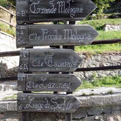
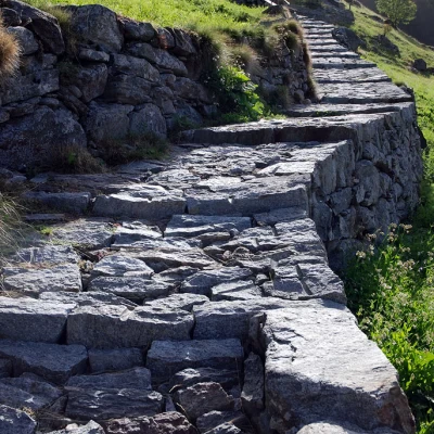
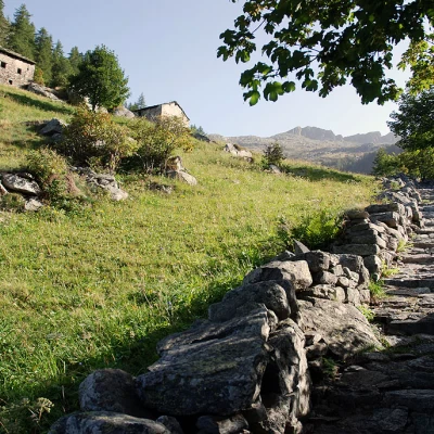
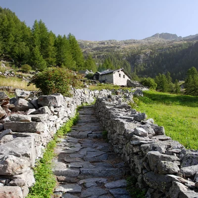
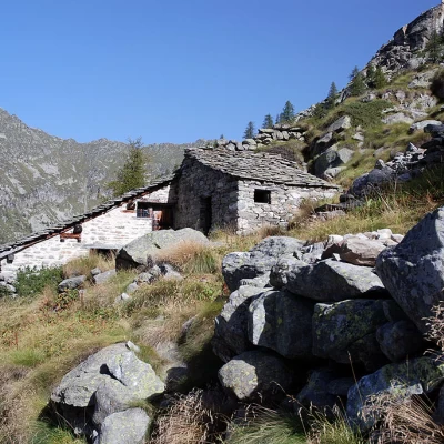
0h00' In the Niel car park, you will come across a sign board indicating the destinations in the area: take the path that crosses several hamlets and soon reaches a first fork in the road. Disregard path unable to parse for the Col de la Mologna Piccola, which branches off to the right, and continue straight ahead along the beautiful paved mule track that slowly leaves the village of Gruba. The mule track quickly leads to the farmsteads of Péiri (1651m) and then flattens out a little to reach the alpine pastures of Mattà (1697m).
0h20' Just beyond the alpine pasture, turn right, cross a small bridge and meet a fork in the road: go straight on, leaving trail for Col Lazouney, and continue briefly through the pastures to Schtovela (1760m).
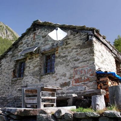
0h30' The path now becomes more demanding, the trail begins to climb up the impluvium of the Varail dou Pitout Lazouney; in places the path is steep but you quickly gain metres until you reach the meagre pastureland that precedes a ruined cottage: this is Pitout Lazouney (2082m).
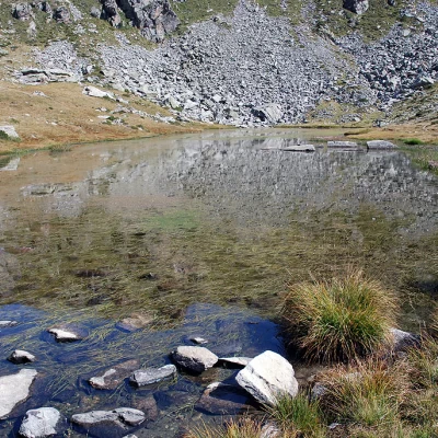
1h10' The last sparse larch trees are left behind and, with a short ascent, you reach a wide grassy basin where the placid Lac dou Grekji (2219m) lies.
1h35' Easily cross the outflowing stream and climb up the ridge until, just before the pass, you come to another fork in the road: leave the path to the left that leads to Col Lazouney and reach the Col de la Mologna Grande (2,348m 2h00').
The descent follows the same route as on the way up [1h'T2].
