Col Tachuy, from the La Joux car park


Edited by:
Massimo Martini
Updated at: 31/08/2025
Introduction
The Col Tachuy connects the Bellecombe valley in La Thuile with France. The pass is used in the Tour du Ruitor.
.Description
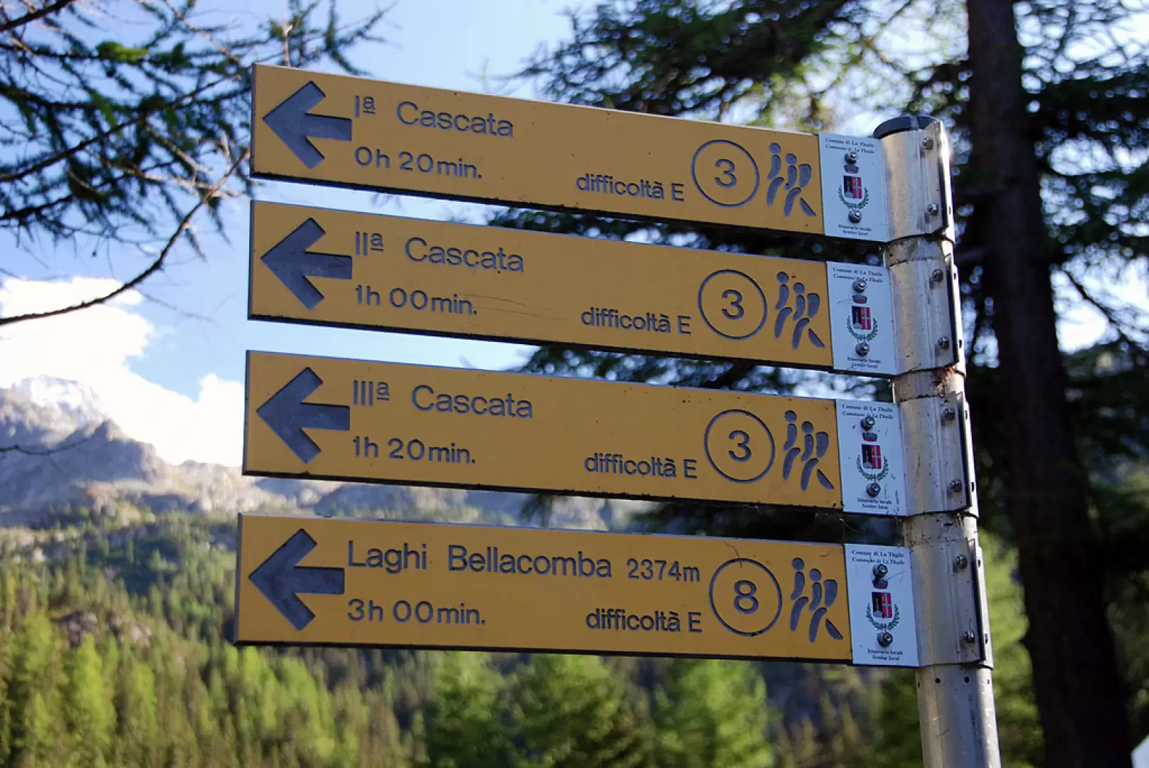
From the car park, climb briefly up the tarmac road until you come to the signposts near the restaurant-bar (1603m). Take the path that branches off to the left, following the signs for the Bellacomba lakes, marker
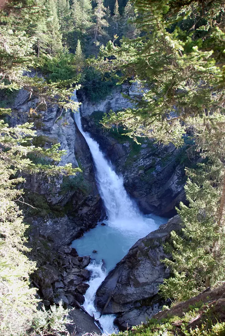
. Take the path, skirting a pasture and, after a short descent, following the Torrent du Ruitor until you reach a small wooden bridge; cross it, taking the orographic right, after which the path takes a few twists and turns and enters the dense fir forest. A few minutes' walk and you come to the first of the spectacular Ruitor waterfalls (1700m, 0h15').
Continue now with a somewhat more demanding ascent, past a characteristic little stone bridge and soon reaching the isolated Parcet farmhouse (1760m, 0h20'). Leave the forest and proceed for a short stretch halfway up the hillside, then, after a couple of bends, cross another small stream and enter the forest again until reaching a wooden bridge where the path for the second waterfall begins. Continue on the main path and begin a long series of twists and turns until you come to a marker post (1996m, 1h10') indicating the third waterfall: a short diversions takes just a few minutes to reach a beautiful viewpoint over it.
The ascent continues along a well-steeped path until we come to another fork (2147m, 1h40'): here we turn right, following the signs for the Bellacomba lakes.
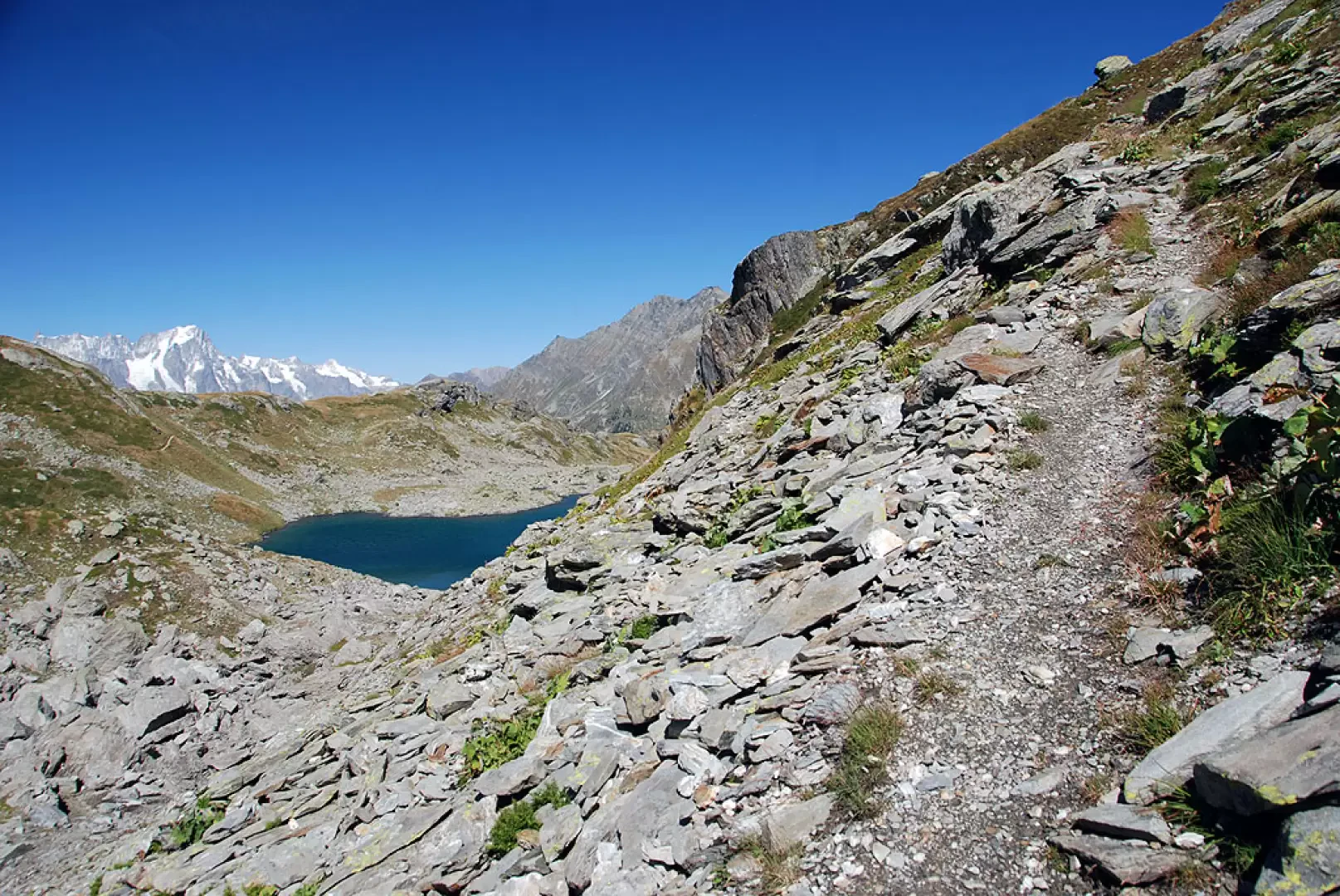
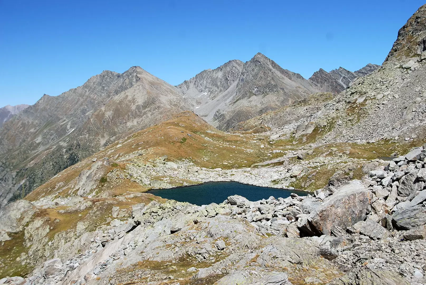
The route now follows a stretch with a few ups and downs and then begins to climb again when we turn left and enter the Torrent du Ruitor impluvium. Descend towards the torrent until you come to a wooden footbridge that allows you to cross it. Now proceed for a short, almost level stretch until you come to a new signpost indicating the path (18) to Cérellaz. Neglecting the diversions, the path, with a few twists and turns, allows you to easily cross a rocky ridge; after a short straight stretch, new twists and turns allow you to cross a second ridge, after which you finally find yourself in the valley where the Bellacomba lakes are located. The path now proceeds practically straight, slightly uphill in an idyllic environment. The gorge shelves near a ruin and then rises slightly until reaching the first of the lakes (which is on the left of the path). Following the half slope, with a few ups and downs, you quickly reach the second Lake Bellacomba (2377, 2h50') in the middle of which stands a strange, pointed islet.
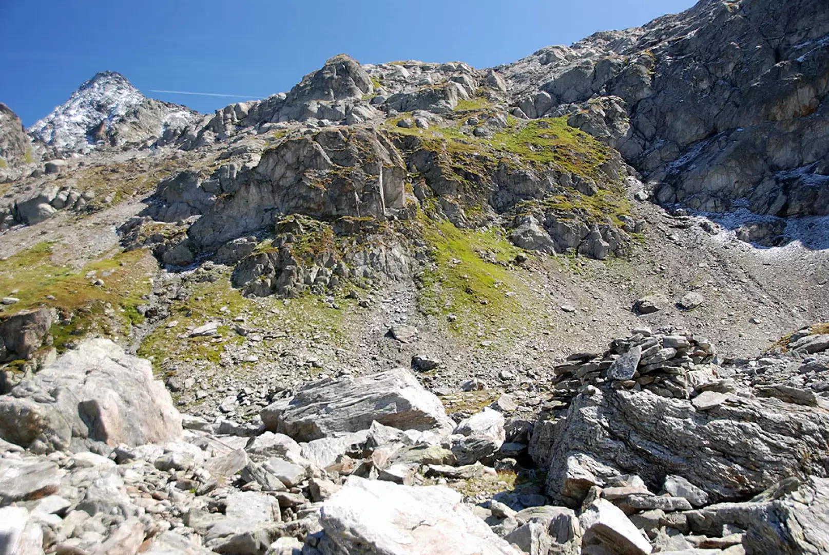
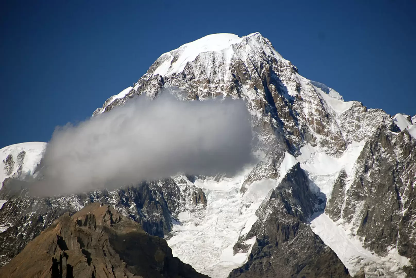
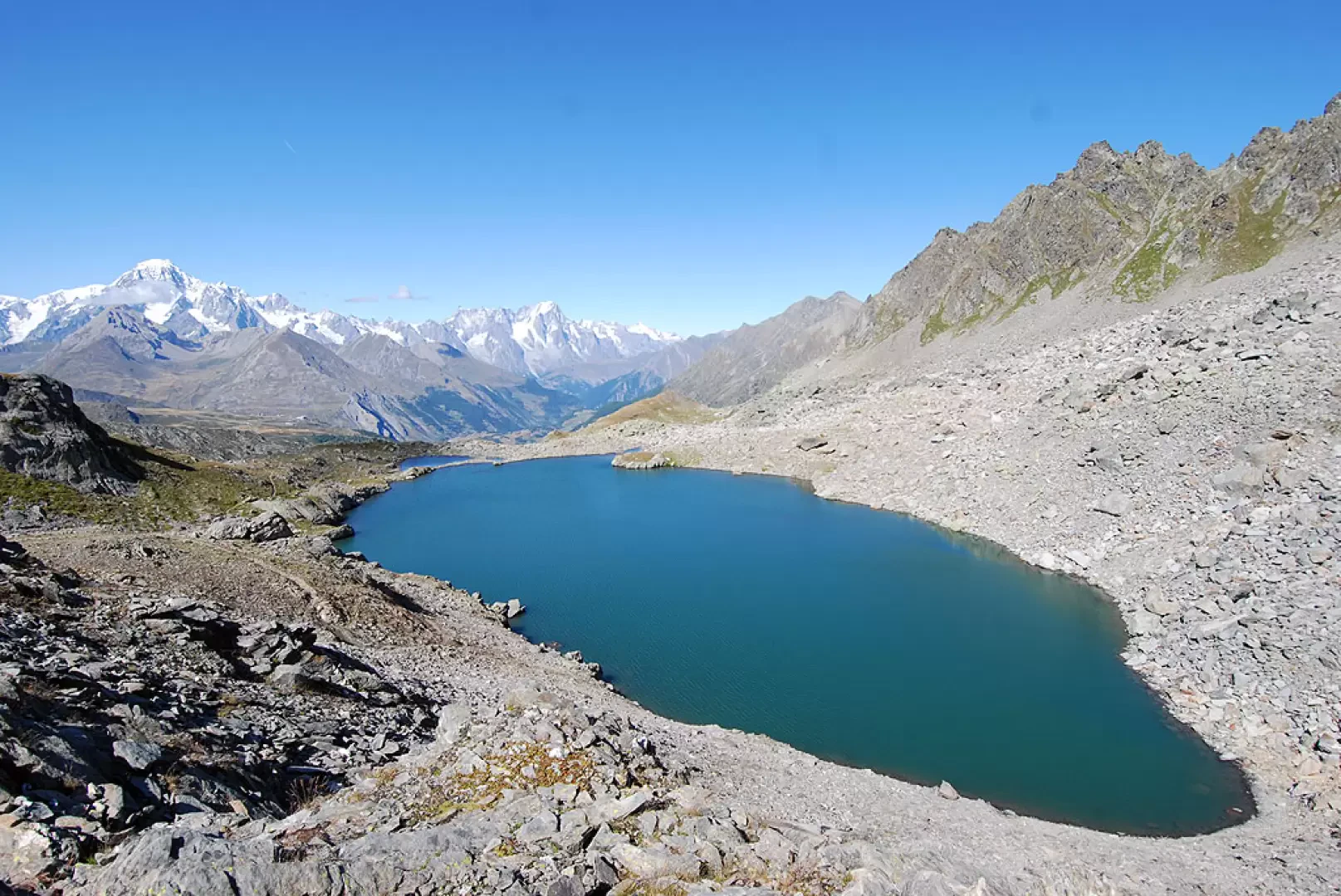
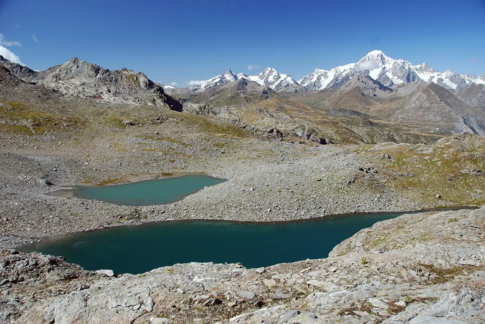
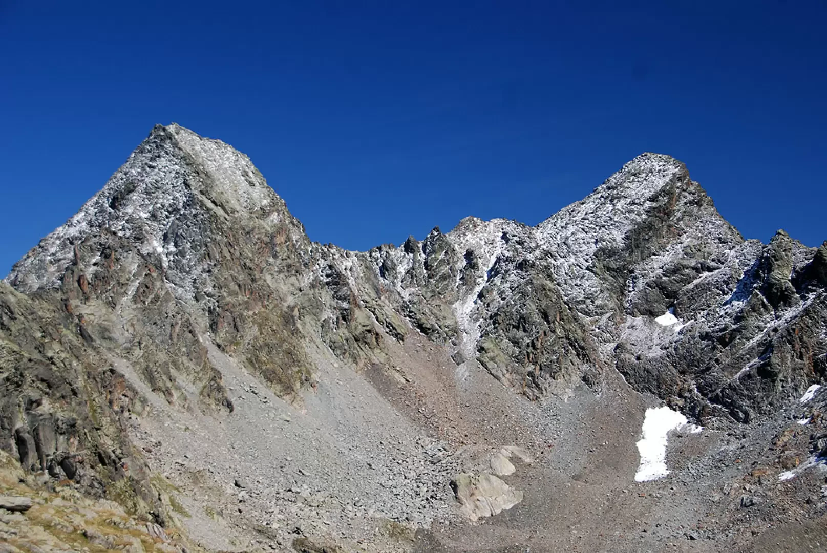
On reaching the lake, turn left and cross the lake's outflow over a natural dam; once you reach the orographic right of the lake, follow the path that initially runs alongside it until you meet a track that branches off to the left. Then leave the path for the Col de la Lex Blanche and go left, briefly climbing the slope that leads to a grassy hump. Follow the path in a westerly direction until you come to a not-so-obvious cairn: here, turn left along a stretch of scree. Follow the cairns to reach the side of the slope, leaving a small melting lake to the left. Start climbing up the slope with a long, fairly steep diagonal stretch until you reach the first terrace of glacial origin on which the lowest of the Tachuy lakes lies. The path turns right and, with little effort, takes the hiker to the magnificent scenery of the main Tachuy lake. Skirting the lake, leaving it to your left, cross the small stream that drains the water from the upper lakes and, after a couple of bends that take you further uphill, you reach a second terrace. The path flattens out and the upper Tachuy lakes soon appear on the right (they are about fifty metres below). The ascent to the pass is almost complete: proceed in a westerly direction, aiming at Mont Charve until you find yourself in the middle of the wide pass saddle. Proceed for a few hundred metres until you meet the two characteristic cairns that mark Col Tachuy (2671m, 3h30'). From the pass, there is an interesting viewpoint over the valley below, the Oeillasses and the coastline from Grand Assaly to Becca du Lac.
The descent follows the same route as on the way up.
Photo gallery
Comments (0)
Sign in to leave a comment