Col Planaval, from Planaval


Edited by:
Massimo Martini
Updated at: 05/06/2025
Access
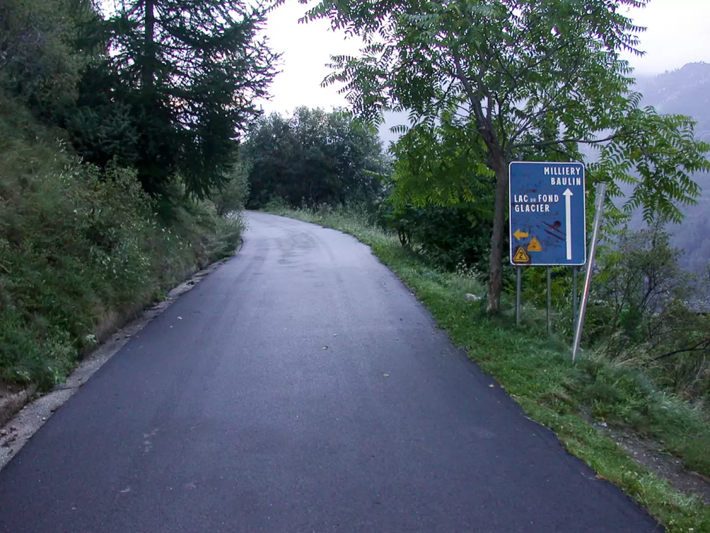
From the Aosta Ovest motorway exit, follow the signs for Courmayeur; after a few kilometres you will reach Arvier and turn left onto the regional road for Valgrisenche. Go up the valley on the regional road for about 10km until you come to the turnoff, on the right, for Planaval. Pass the houses of Planaval and continue towards the hamlets of Baulin and Milliery until you reach the hamlet of La Clusaz: you can park in front of the village houses.
Introduction
The ascent of Col Planaval was for many years, until 2002, considered a delicate passage of the high route: due to the crossing of a glacier and consequently entering the world of mountaineering itineraries, the high route was diverted. In spite of this, this hike is still full of fascination, the crossing of untouched and wild environments and the final ascent of the glacier certainly make it an interesting destination.
Description
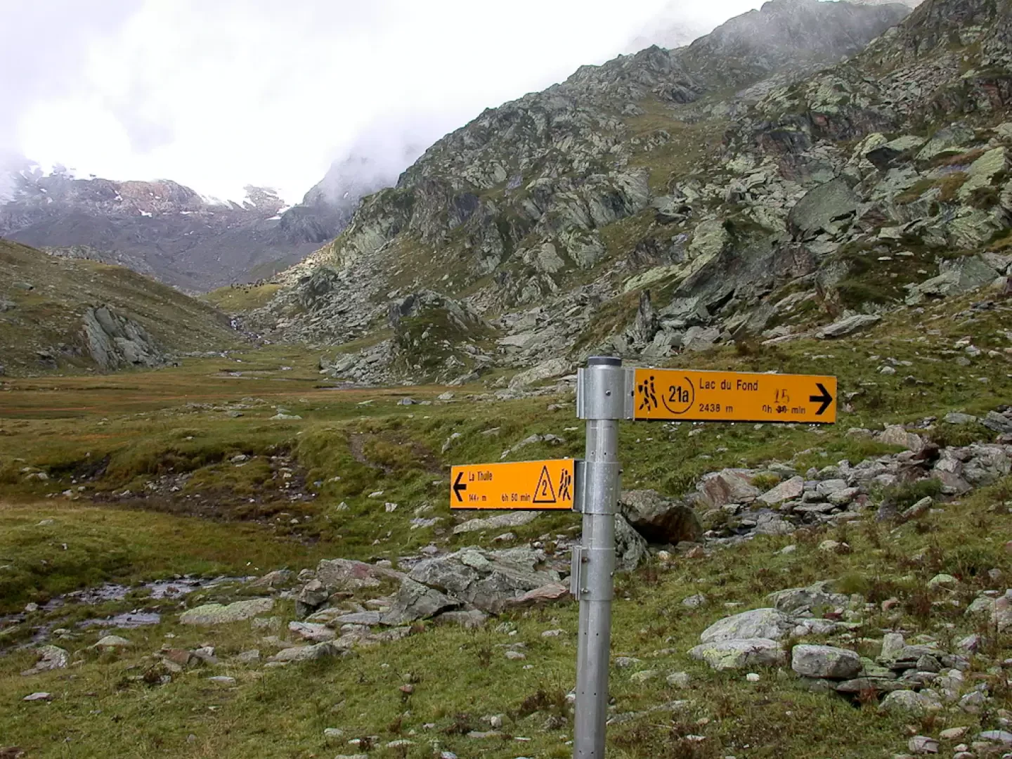
Leaving the car in a small lay-by near the last hairpin bend, we walk for a few dozen metres on the tarmac road and then meet a sign on our right that the path starts to the left. We take a wide mule track marked as the Alta Via, in fact in past years Col Planaval was a part of the route in question, but since 2002 it has been diverted towards Lac du Fond; however, the first section can still be considered part of the Alta Via itself.
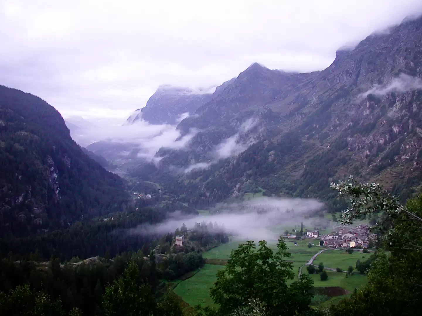
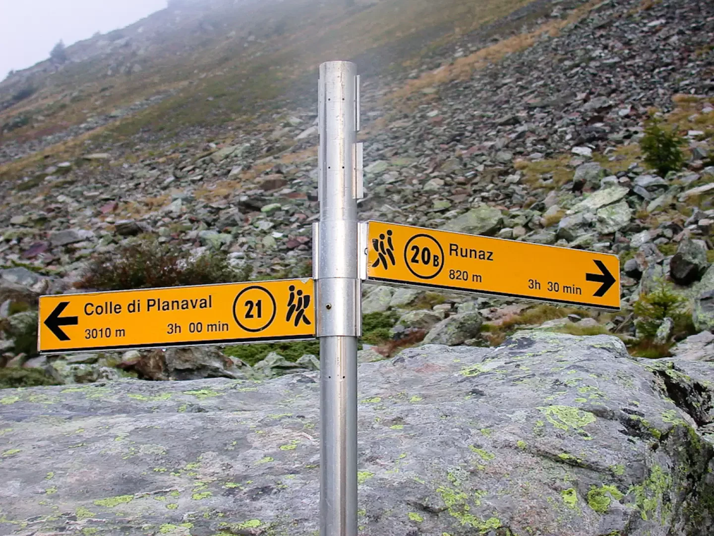
The trail quickly gains height, opening up excellent views of the end of Valgrisenche, Grande Sassière and the village of Planaval below. We leave behind the last broad-leaved trees, including a few wild cherry trees (Prunus avium), and enter a not very dense larch forest; the path crosses a few steep slope sections on a ledge, with protective railings in places, and climbs halfway up the slope on a clear, partially stepped pavement surrounded by patches of Juniper (Juniperus communis L.). After about 0h10' you pass under a rocky rampart and after a few hairpin bends it becomes slightly flat: in this section you cross some small streams, this scenery repeats itself a few times until after about 0h35' you reach a section of sparser woodland where you come across the ruins of the Benevy huts (1950 m) surrounded by vegetation. Shortly after, the prairie opens up, leaving the remains of another old rural dwelling on the right, the path approaches a rocky section with a series of hairpin bends, on our right, reaching a water intake after about 0h50'. The ascent continues, leaving the lush Planaval stream and the last alder bushes, as well as a few scattered larch trees, on the left. After 1h00' you will reach Alpe Glacier (2161 m) and shortly afterwards you will come to the junction for Runaz b (2174 m): however, follow the signpost for Col Planaval, which is 3 hours away. From the panel you cross a beautiful stretch of the valley without any particular gradients in which the torrent flows placidly: certainly a little known corner of the Aosta Valley but extremely suggestive.
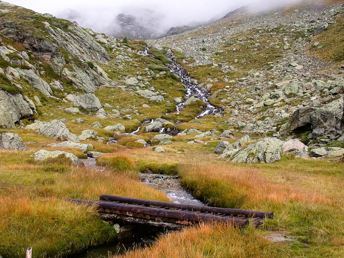
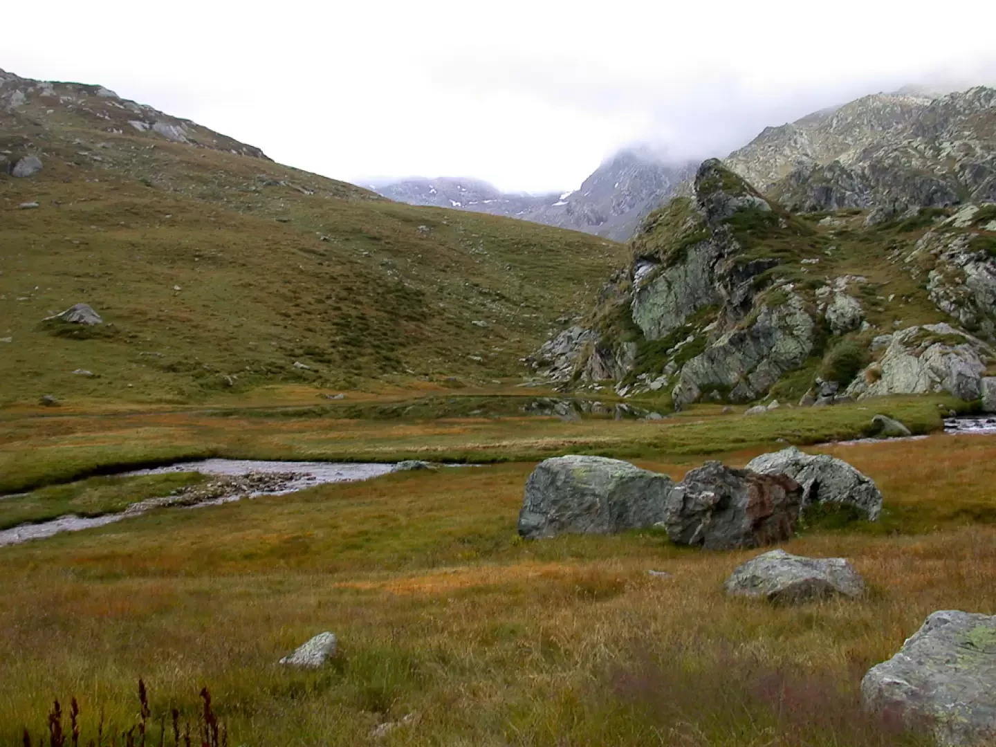
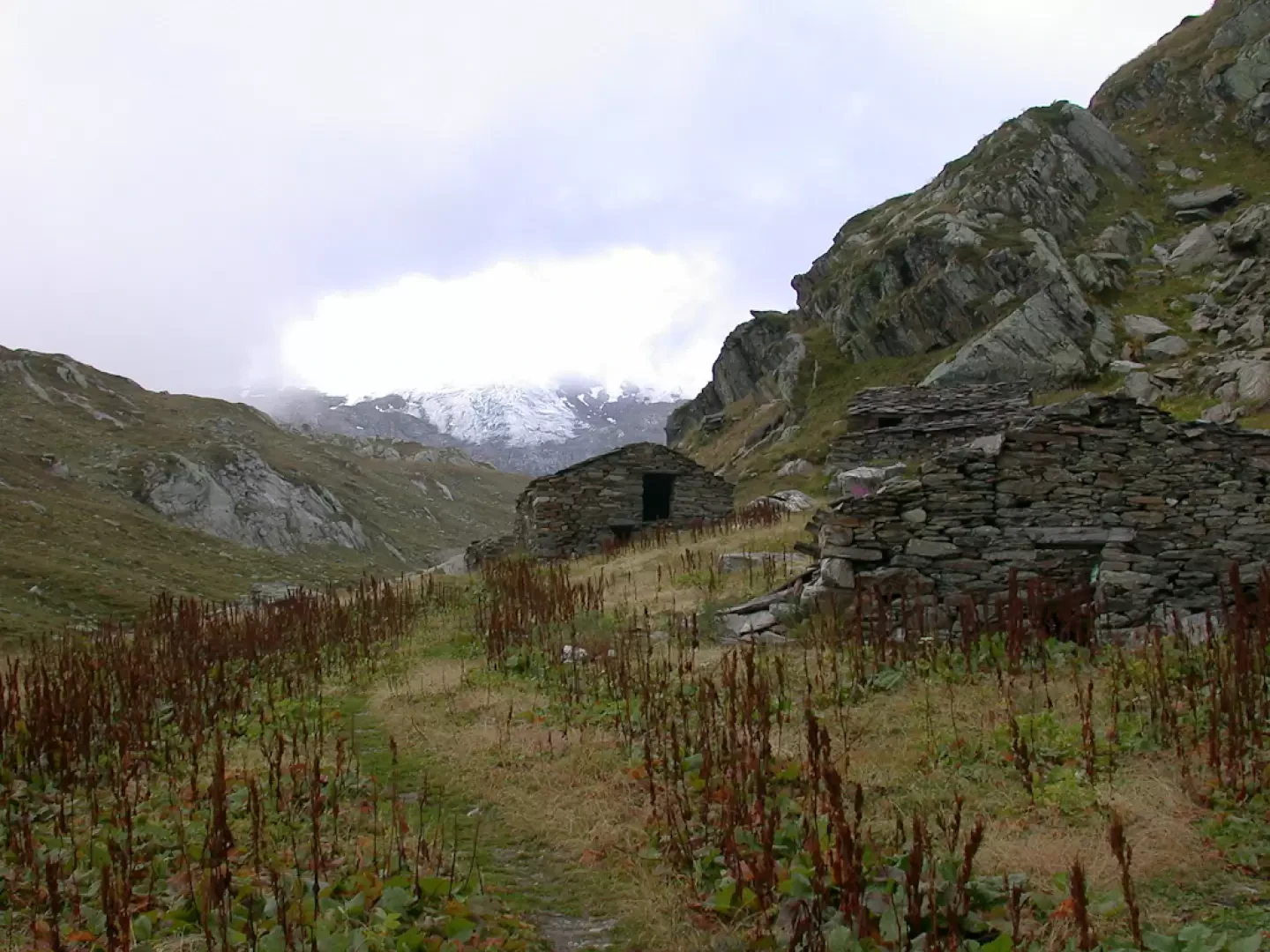
You continue walking in the valley, after about 1h10' you cross a small wooden bridge, go around a large boulder and start climbing again on the easy path. Later the path crosses a marshy clearing where the stream meanders placidly between large boulders: a few steps away from us we observe a group of grazing mules. A little further on, after a tiny pond at the foot of a rocky promontory, the path bends to our left and Col Planaval appears in the background for the first time. Having circumvented the aforementioned promontory, we continue on to the Baraques du Fond (2,337 m, 1h 30') topped by a picturesque little waterfall.
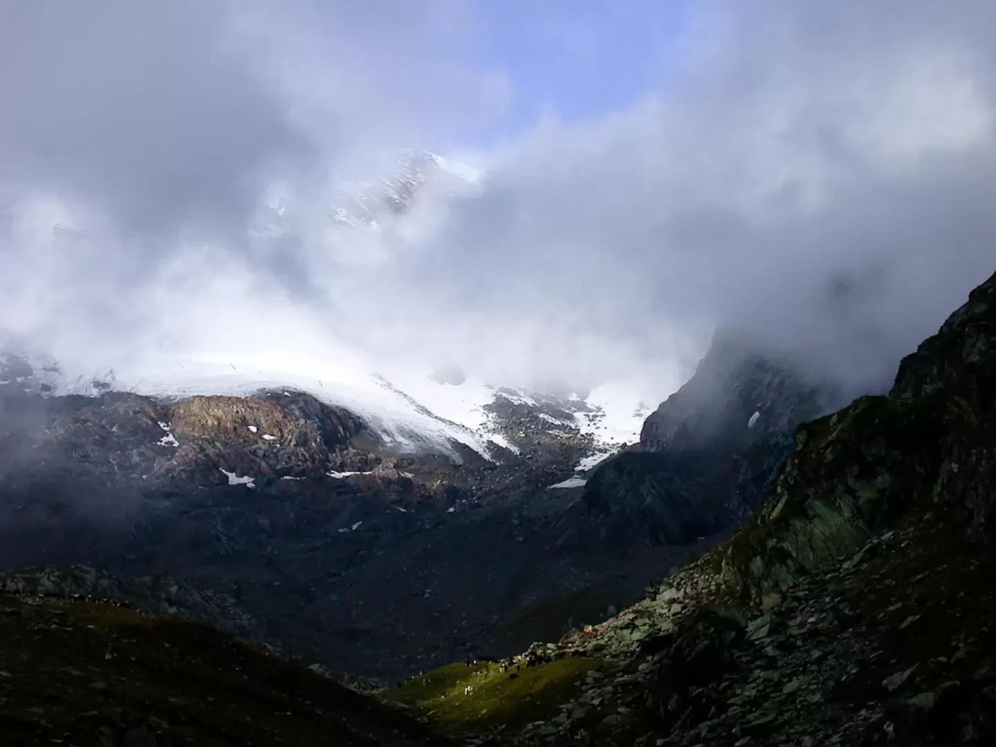
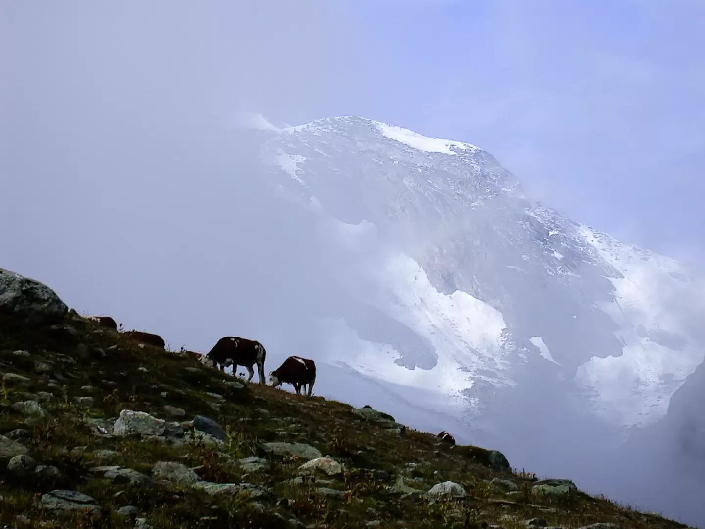
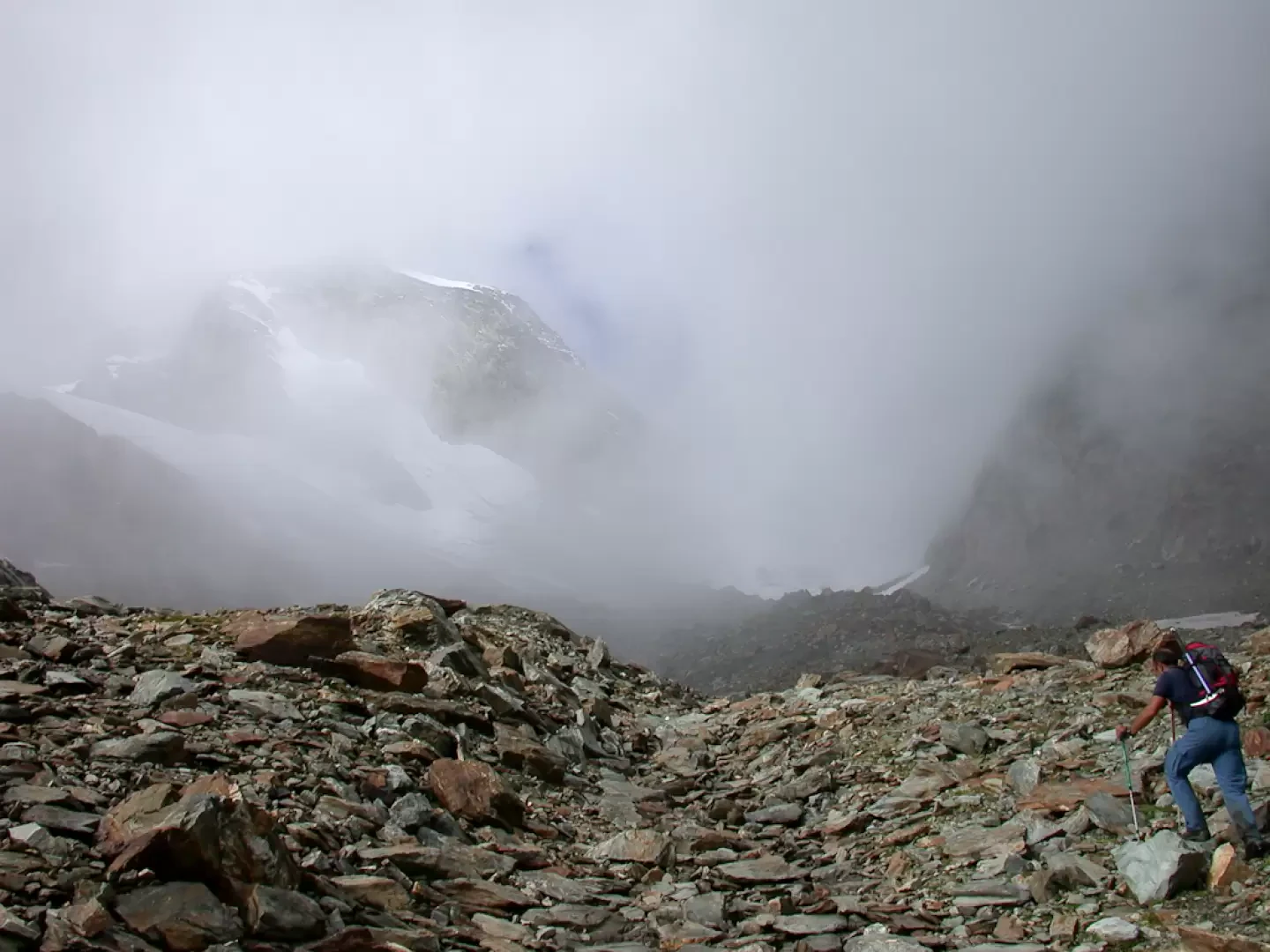
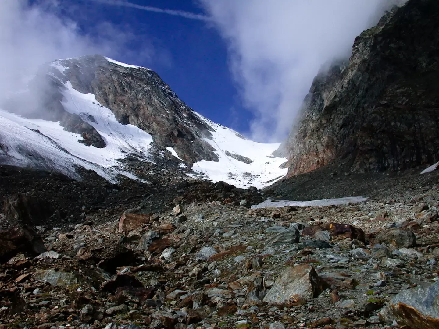
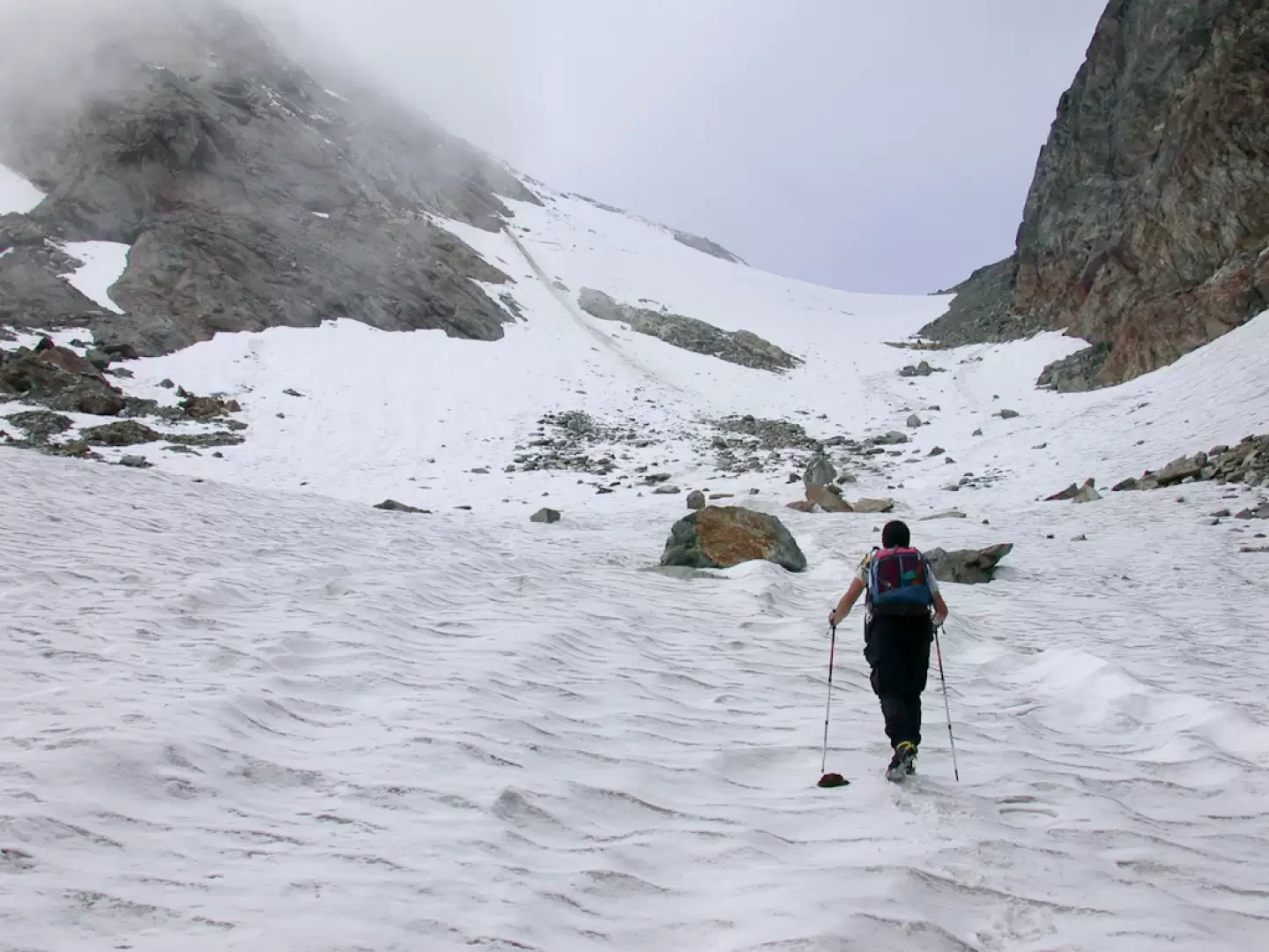
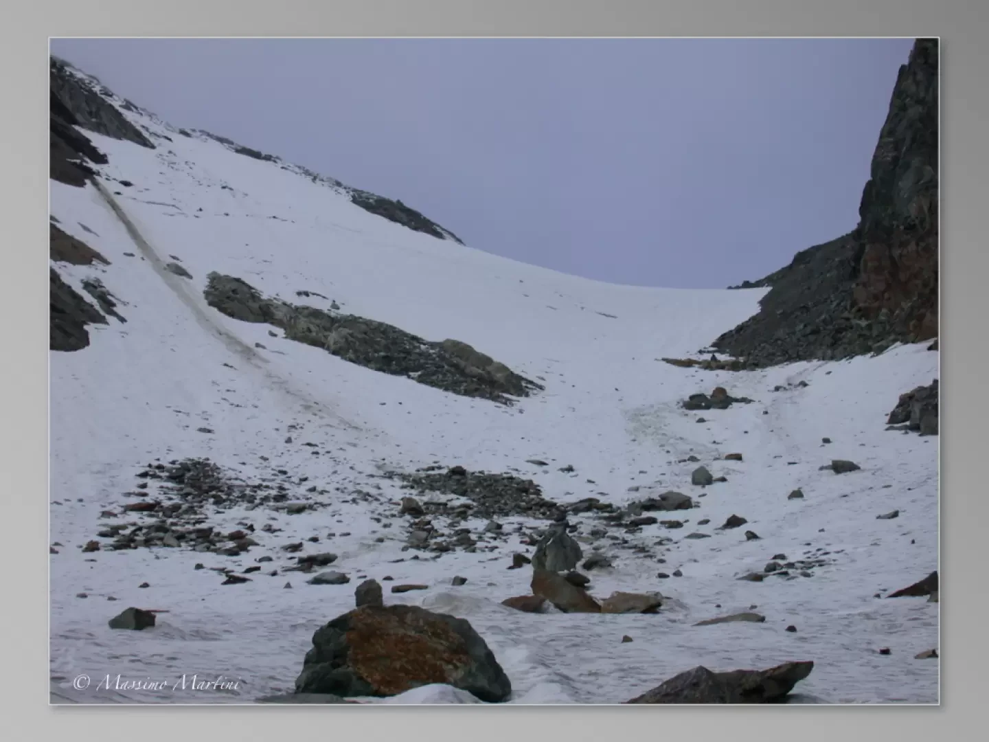
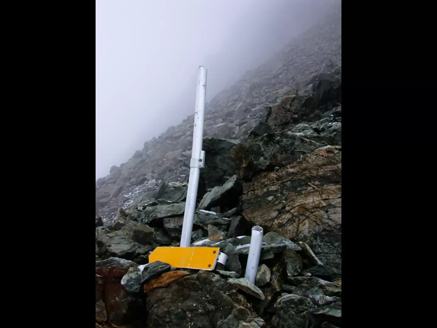
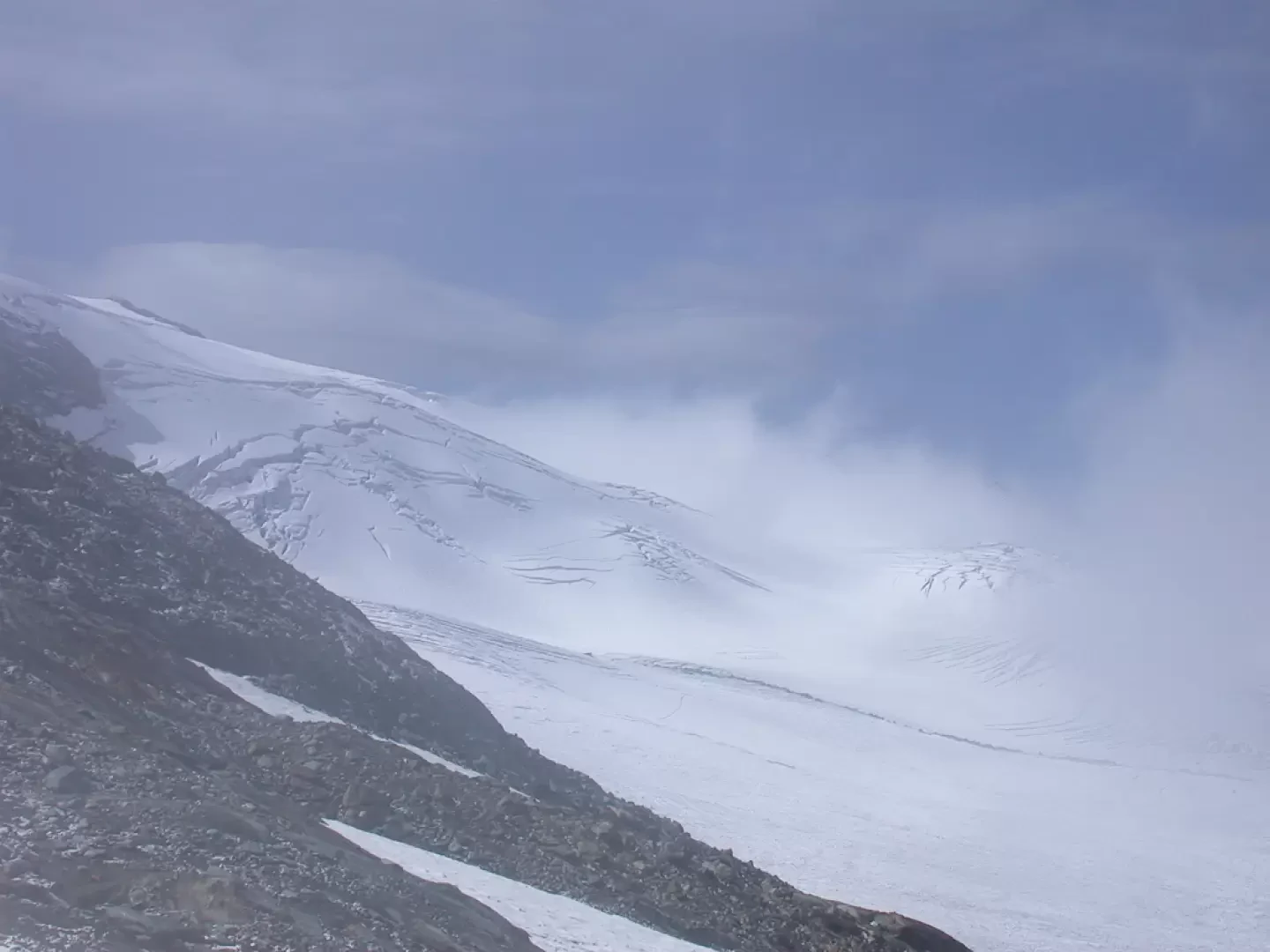
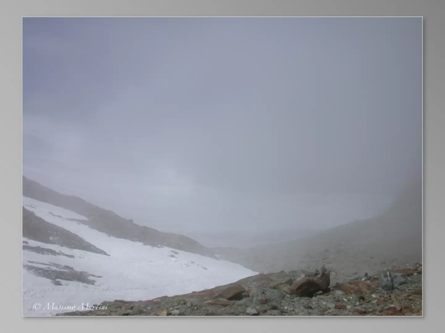
After a few minutes, we come to the fork for the Lac du Fond at 0h 15' walk (2,438 m). Continue on towards the col, crossing the stream on a passage facilitated by some stones in its bed and skirting its orographic right; the stretch is flat and marshy in places. Slowly we climb up the cattle tracks that lead to a wide watershed ridge: here the grazing cows make us enjoy particular visual impressions. After a long flat stretch, we reach the attack of the pass: the path changes structure, from wide and comfortable, it begins to become more uneven. We begin to ascend the moraine in the direction of Col Planaval; after an initial uphill section, the path flattens out slightly, here we come to a spring (approx. 2450 m), and then begins to climb again. The trail is no longer evident, but with the help of the yellow arrows you can still keep to the route. After about 2h 30', we go around a large moraine, leave it on our right, and enter the valley that leads to the pass. By now you are close to the attack on the pass: cross a small stream and move to its orographic left, cross a stretch of rocks and debris and finally you can see the final part of the ascent to the pass. You reach the summit of the moraine mentioned earlier, during the route you have to overcome some large boulders, without difficulty, and finally cross a snowfield and a small stream formed by the meltwater of the glacier above. You finally reach the glacier (2750 m), this is the most difficult section of the entire excursion: it is advisable to wear crampons even if at times it seems that the snow is wearing as the slope of the ascent on ice is not negligible.
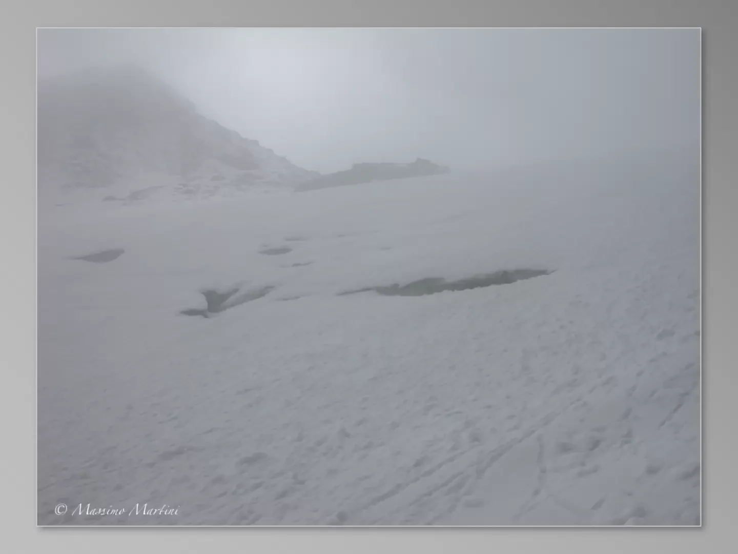
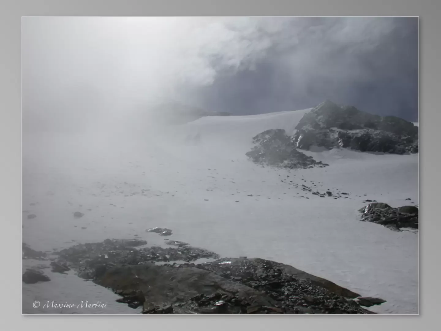
You face the glacier starting the ascent in the central part and then moving to the right, after about half way up, keeping close to the detrital rocks. Although the glacier has receded substantially, it still has evident crevasses that recommend taking adequate care in its ascent. On reaching the culminating section of the Col, the route turns left, entering the depression that goes by the name of Col Planaval (3010 m, 3h30').
Photo gallery
Comments (0)
Sign in to leave a comment