Col de Medzove


Edited by:
Marcello Rossi
Updated at: 20/06/2026
Access
Introduction
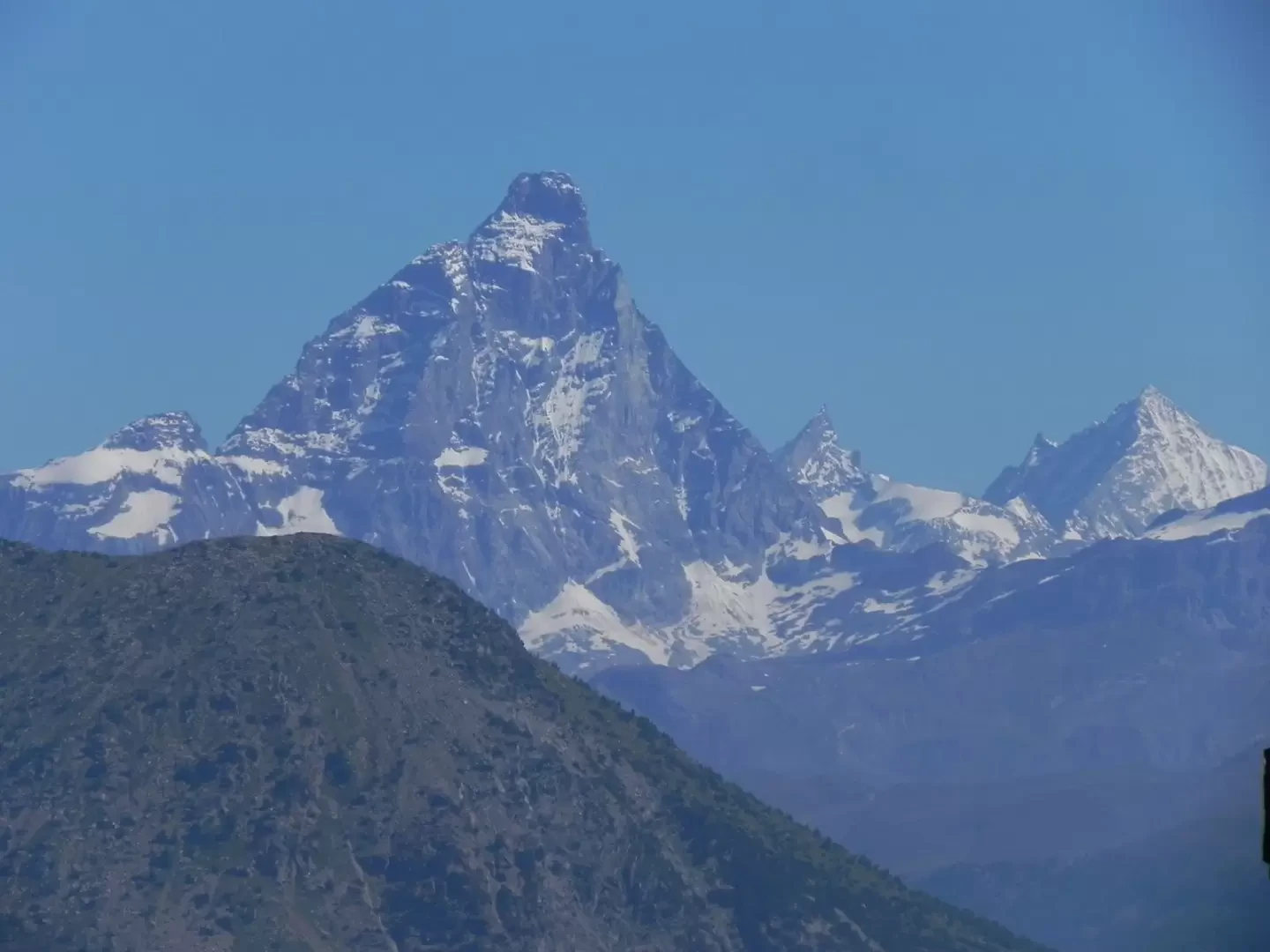
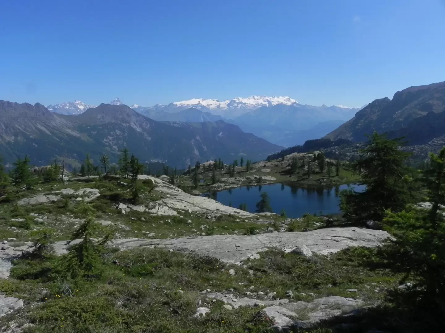
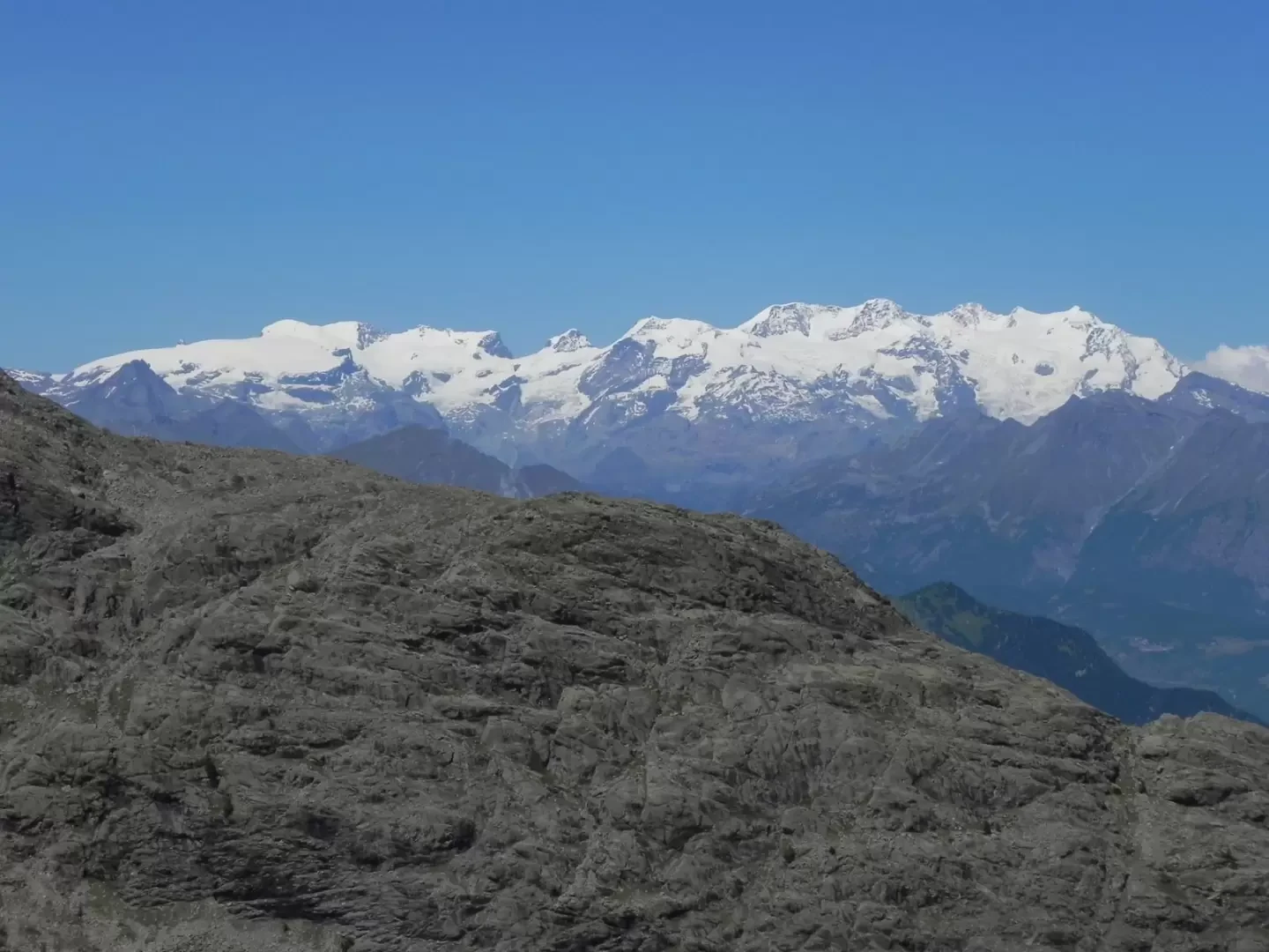
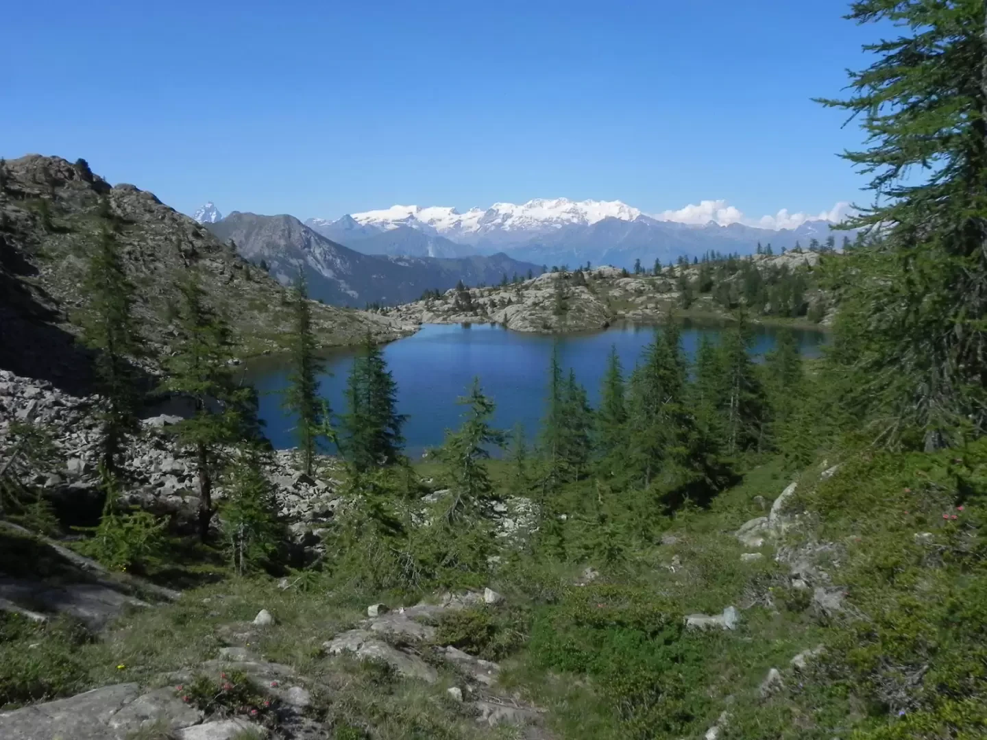
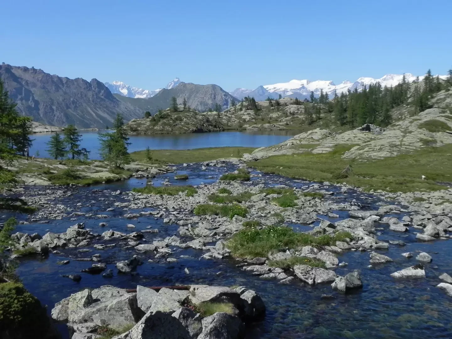
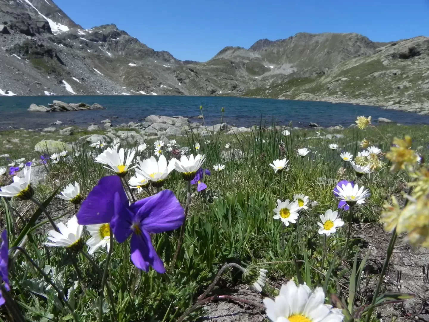
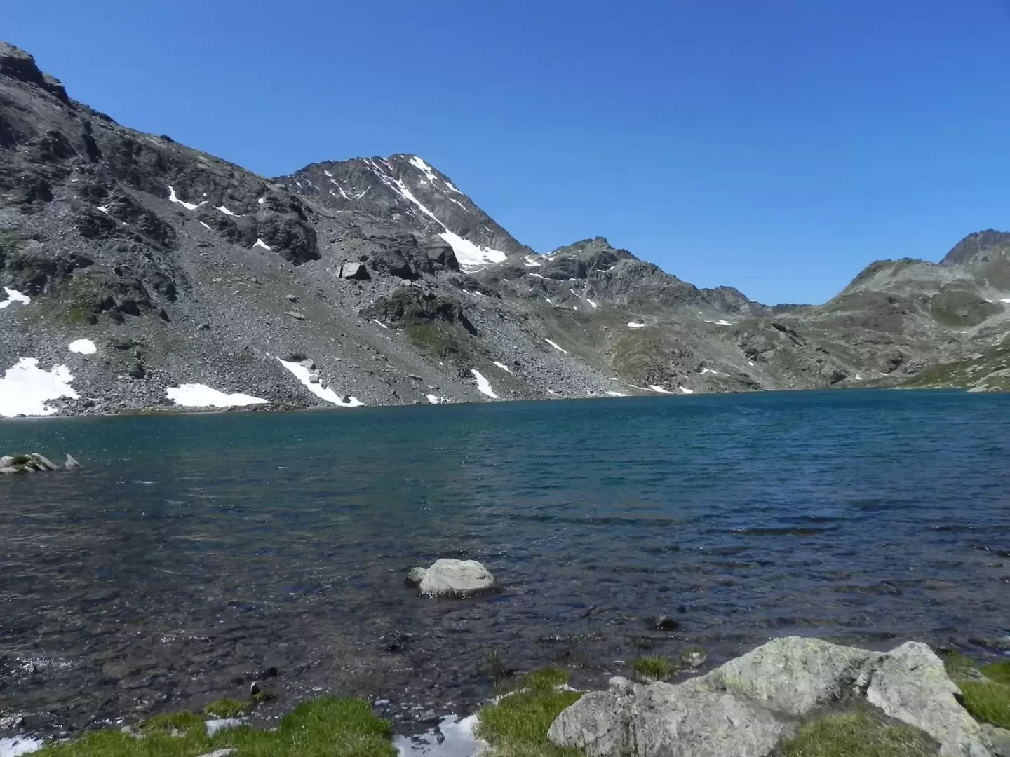
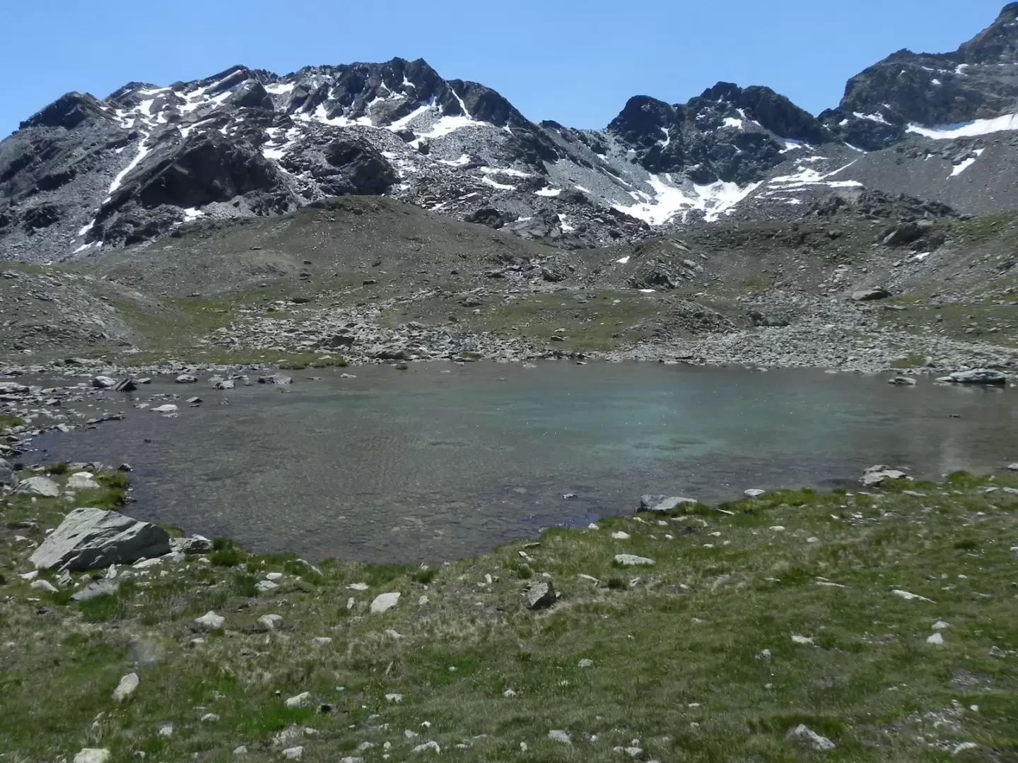
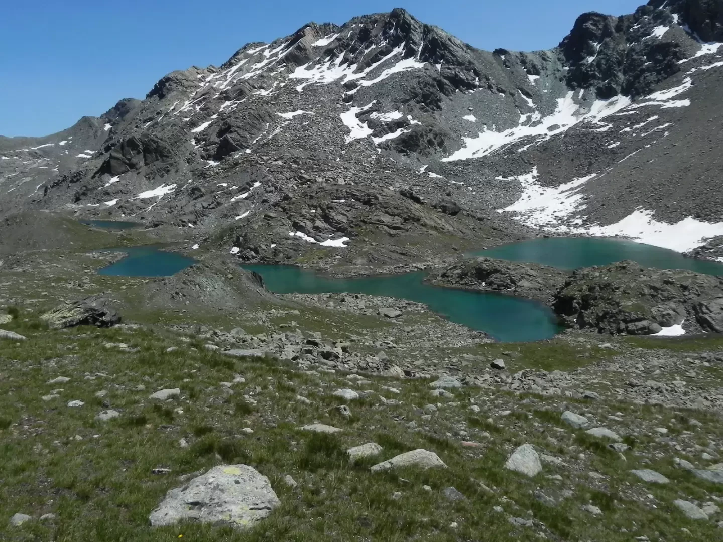
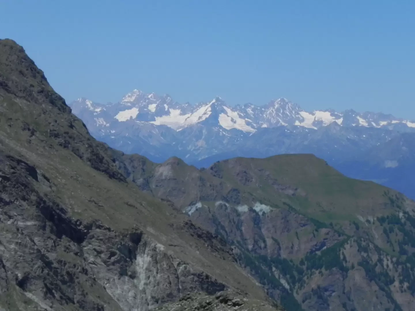
This hike takes place almost entirely within the territory of the Mont Avic Natural Park, in unspoilt environments typical of the high mountains. The entire itinerary takes place on well-marked paths and without any objective danger, taking the hiker past a large number of lakes, including the Gran Lac, the largest natural basin in Valle d'Aosta. The views of the Monte Rosa massif and Cervino are very beautiful around the Barbustel hut, while at the Medzove pass the view sweeps over the distant Mont Blanc and the closer Gran Combin.
Description
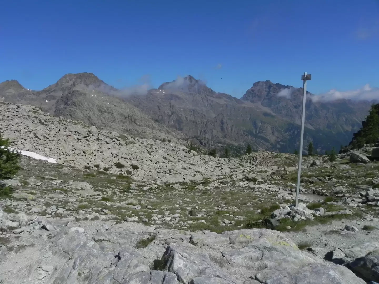
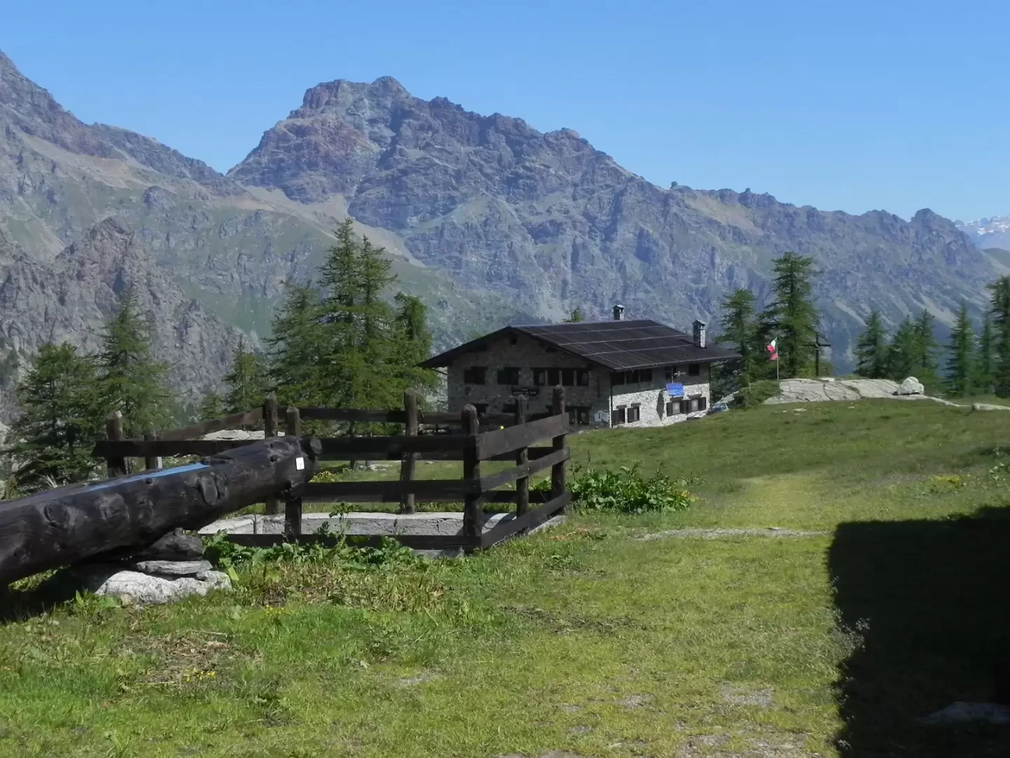
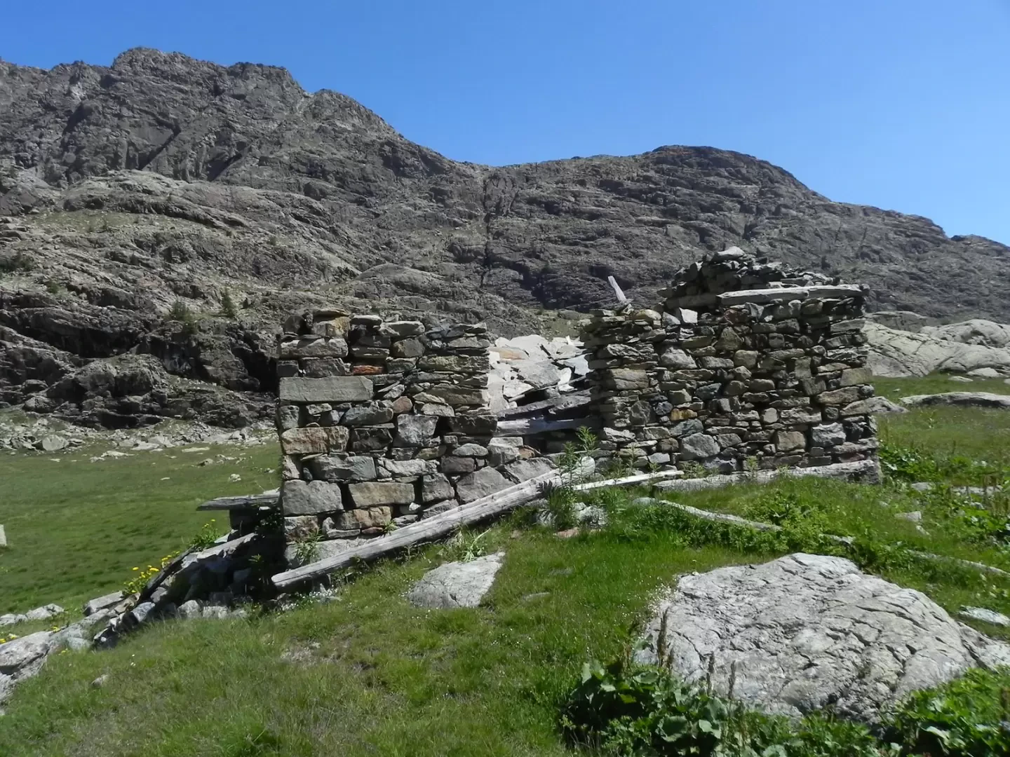
The trail climbs with a series of bends in the forest; shortly afterwards you pass the edge of the tall vegetation where the view opens out onto the watershed with the Champdepraz valley and, on the opposite side, the glacial cirque of the Val della Legna and the watershed between the Champorcher valley and Piedmont. In a short time you reach the small Lac Muffè where a bar has been opened, you pass in front of the building, the slope begins to increase slightly and continues to climb towards the Col du Lac Blanc. Once at the pass, the descent towards the Barbustel hut begins, and soon the Matterhorn first comes into view and then the entire Monte Rosa massif. When you reach the hut, follow the path that continues to descend to the Lac Blanc level, cross the lake's tributary on a bridge and climb slightly to skirt the lakes Noir and Cornù, beyond which the path climbs again until it reaches a small plateau dominated by mounded rocks, where you pass the ruins of the Pesonet alpine pasture. You thus reach the foot of the rock face, which you cross with a series of bends until you come out at the Gran Lac. You skirt the entire basin along the obvious path and reach the guesthouse building. Just beyond the building, you will come to the junction of paths 5C/102 and 6 (small stone cairn with signposts). Take the path to the left, climbing slightly until you come to a terrace, the path turns slightly to the right and begins to climb up the low slope. On the right, the view opens up to the Lac de la Léita; when the path loses its slope, a traverse is made to a grassy ledge where the trail becomes less marked, but the path is always clearly visible thanks to the abundance of yellow signs. The Medzove pass is thus soon reached. When you reach the pass, continue along the path, losing altitude slightly, and then climb up to the obvious rock on the right, where the view opens out onto Mont Blanc and the Grand Combin.
Photo gallery
Comments (0)
Sign in to leave a comment