Leaving the motorway at the Verrès exit, turn right onto the main road in the direction of Turin. Pass the village of Verrès and, after 4.5 kilometres, you will reach the Arnad roundabout. Take the second exit and continue towards the town unable to parse following the signs for the Machaby sanctuary. Go up the municipal road for about 2 kilometres, skirting the complex of the Romanesque church of San Martino and passing near the Valleise Castle until you come to the fork for the Machaby parking area: go straight on for about 700 metres until you come to a large car park where you can leave your car. In the area there is a panel with the indications of the municipal path network.
Pleasant itinerary along the military trenches on the ramparts of the Tete de Cou
.
Description
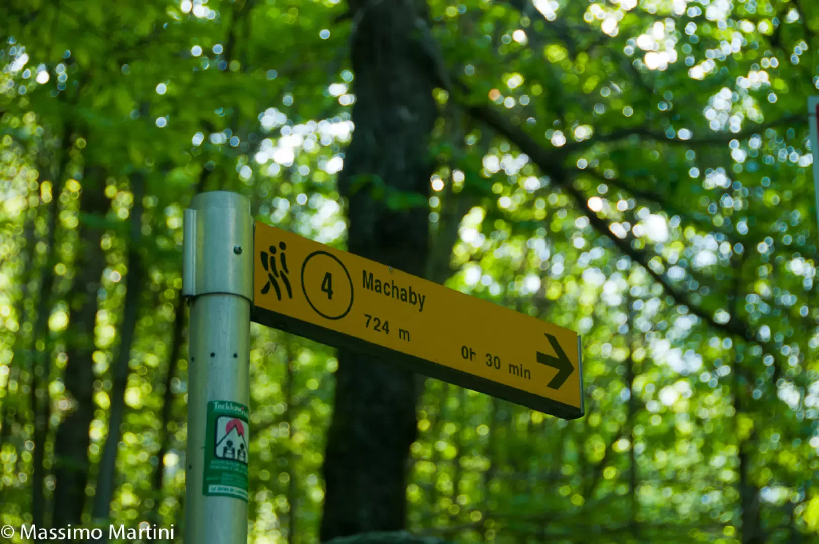
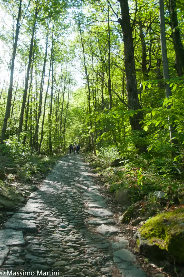
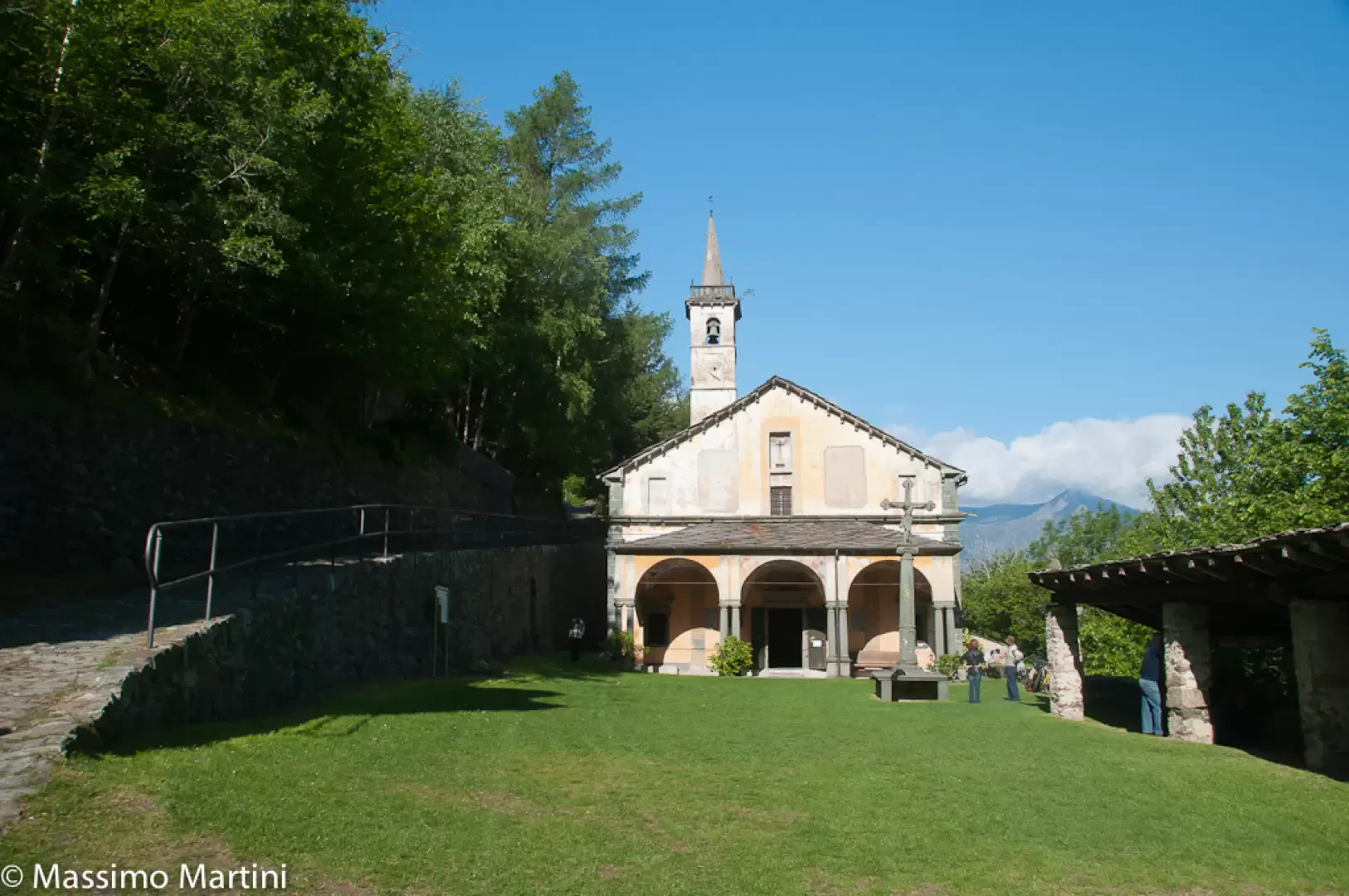
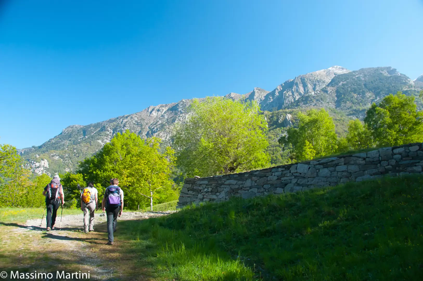
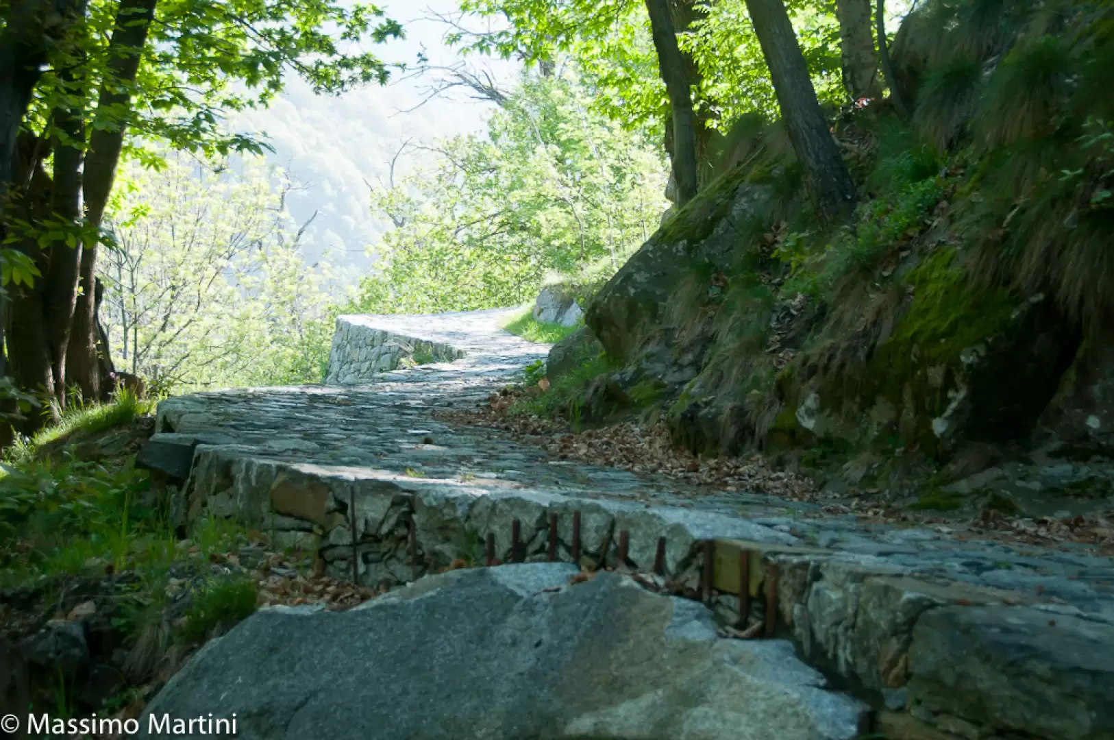
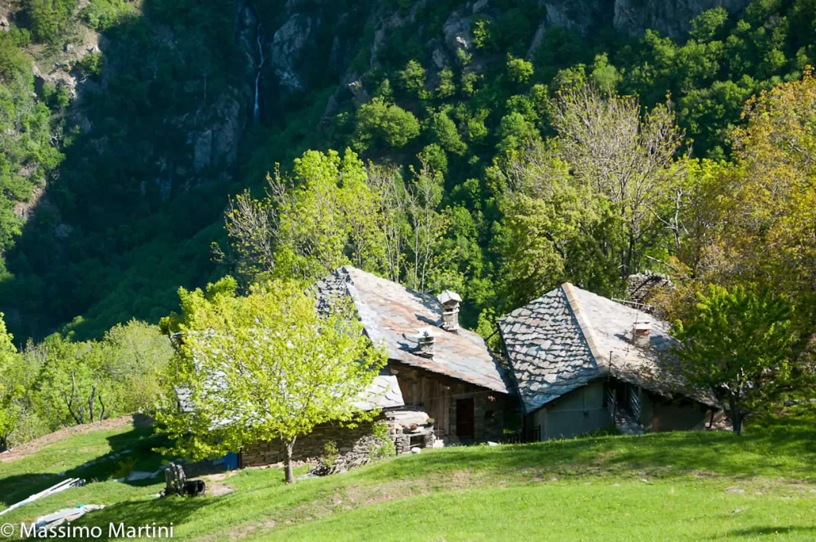
0h00' You descend the road again until you come to a marker indicating path 4: here you turn left and take the wide paved mule track that leads to Machaby. You will soon come across a "tzapelet" (an old oratory with frescoes used in processions) and continue past a stream on a wide wooden bridge. Continue along the paved road as you enter the chestnut forest (Castanea sativa). After a turn to the right, continue for a few minutes until you reach the Machaby Sanctuary (691m, 0h15'): the building, erected in the 15th century, is dedicated to Our Lady of the Snows and has an annual festival every 5th August.
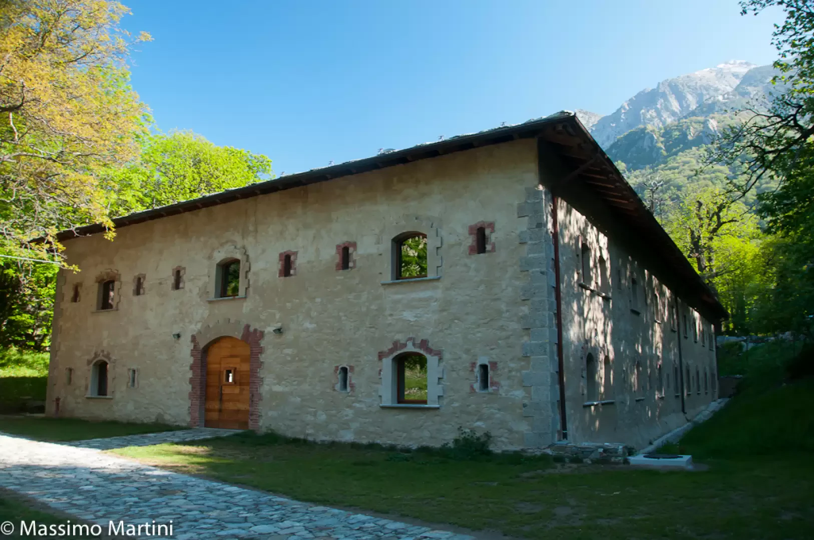
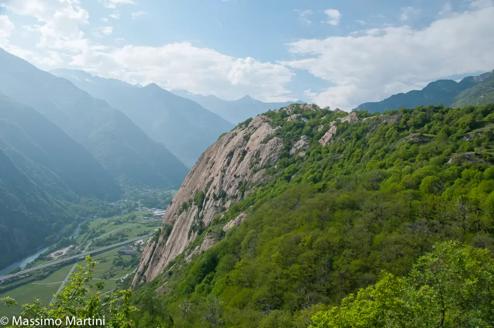
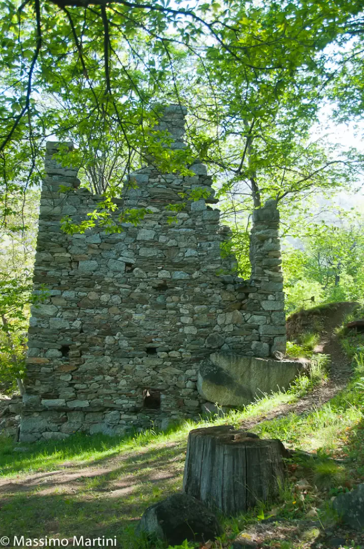
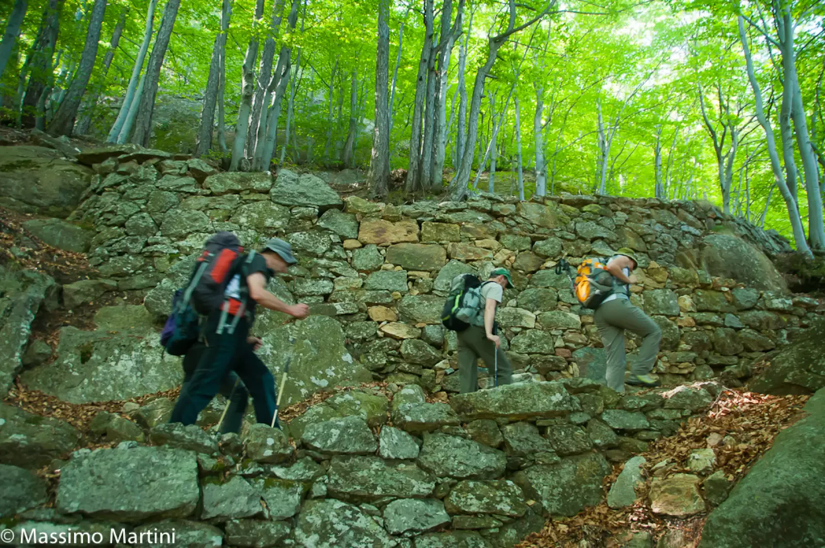
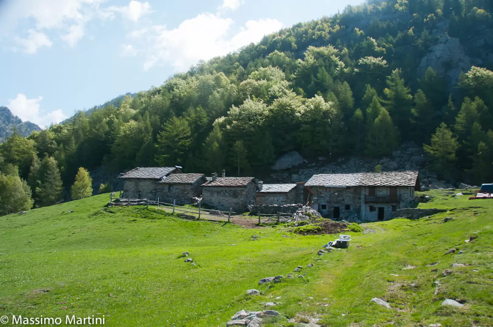
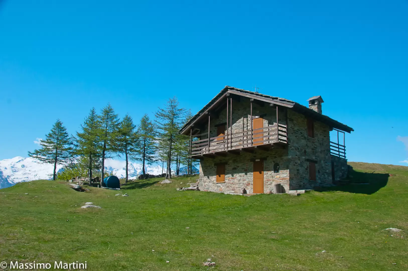
Continue along the small road and in a few minutes you will reach near another oratory, the locality known as "Pradouegne" (a wide plateau under age-old chestnut trees) and the village of Machaby: A short visit to the village to observe the characteristic Dzerby is recommended. Back in Pradouegne, you can take advantage of an eno-gastronomic break at Cesarino Bonin's "Lo Dzerby" farmhouse and then continue the route towards the remains of Lieutenant Lucini's fortification (717m). Shortly after the shelter you will come to the fork to descend towards Bard: this path is currently closed by an ordinance of the mayor of Arnad due to landslide risk. We proceed along the easy road that, with a series of hairpin bends, enters the forest again; every now and then there are panoramic views, especially of the not too distant Paretone, the cradle of free-climbing in Valle d'Aosta. Slowly you reach a small clearing where there are the remains of other military fortifications on a plateau where the village of Arbeadze (824m) once stood. Here you leave the small road and begin to proceed along the beautiful paved mule track. Along the ascent, we encounter a couple more renovated farmhouses and then enter the chestnut forest again. After a few hairpin bends, we come to a fork in the road (899m): a faint trace of a path branches off to the right of a hairpin bend to reach the base of the famous Pilastro Lomasti. Obviously, this diversions is overlooked and we proceed further into the forest where the mule track makes an endless series of turns, always supported by impeccable drystone walls. After a thousand metres, the chestnut tree gives way to beech (Fagus sylvatica) and birch and, shortly afterwards, the mule track gives way to a grassy road. You slowly approach the pass and the vegetation thins out until you reach the wide clearing before the village of La Cou. We pass a small wooden fountain and finally reach La Cou (1379m, 2h20').
General Information
Signposts: 4 Type of route: a/r Recommended period:May, June, July, August, September, October, November Sun exposure:North Useful equipment:normal hiking equipment


Comments (0)
Sign in to leave a comment