Col de la Barme, from Pillaz


Edited by:
Massimo Martini
Updated at: 05/07/2025
Introduction
Beautiful hike along part of the route used, every five years, by the Procession of the Black Madonna of Oropa.
Description
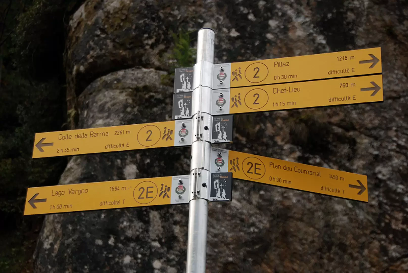
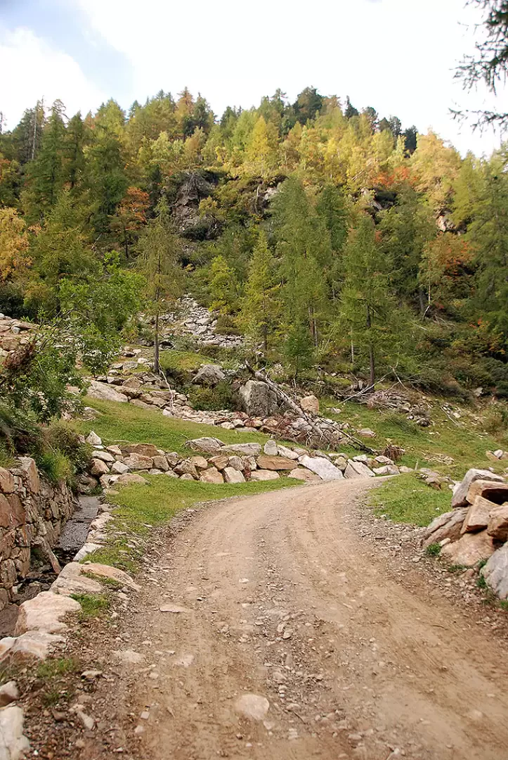
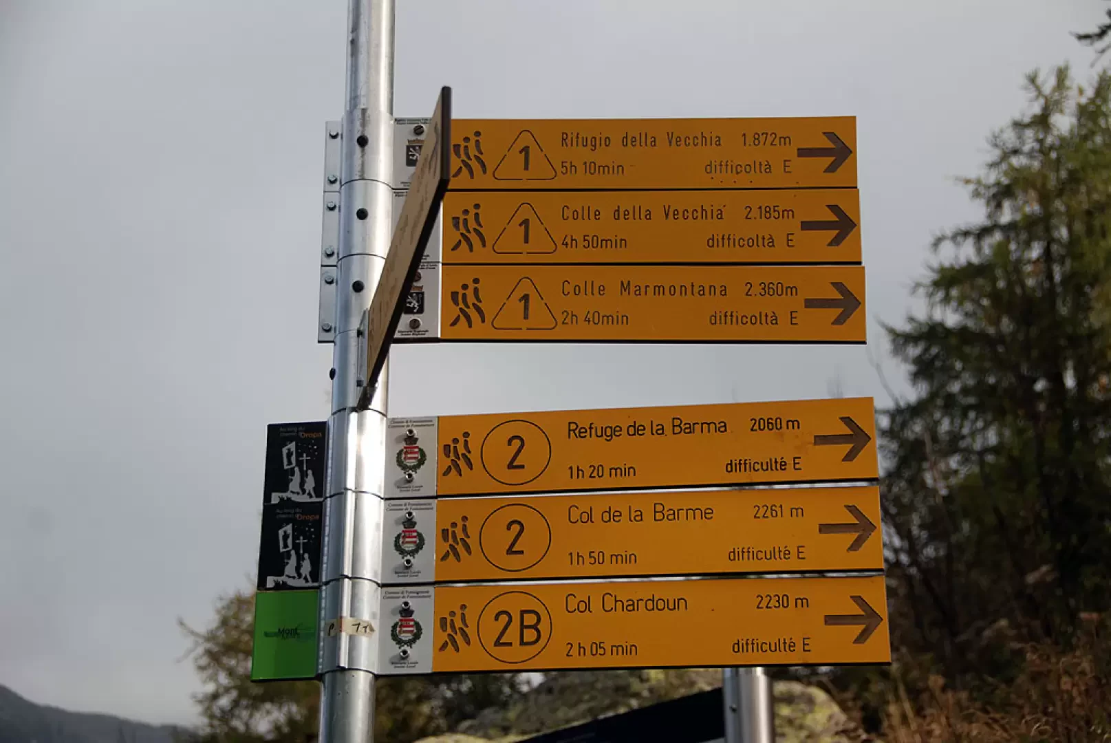
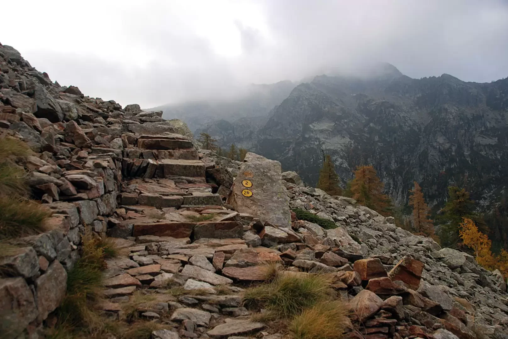
Leaving your car behind, you proceed along the dirt track, which is forbidden to traffic by a traffic ban. The route is comfortable and the gradient is moderate enough to allow a pain-free start. The road enters the valley of the Pacoulla, a stream flowing in the impluvium about a hundred metres below, crossing a beautiful forest of silver fir, larch, birch and a few rowan trees. After a kilometre's walk, you come to a signpost indicating the junction for Pian Coumarial, signpost (2E) (1410m, 0h20'). Disregard the track to the right and continue straight on until reaching a second fork: go straight on, disregarding the little road that descends to the left. A few minutes' walk and you come to a small votive shrine; from here the road begins to climb with greater intensity. After a straight stretch of ascent, the road takes a few hairpin bends that allow it to gain a hundred metres in height, at the end of which the road reduces its gradient and soon reaches the vicinity of the stream. Cross the stream at an artificial ford and start climbing again with a couple of hairpin bends that lead to the junction for Col Marmontana, marker (2A) (1664m, 1h20'). Neglecting the path, continue along the little road until you reach the first of the Vargno cottages and, shortly afterwards, the Alta Via 1 and the path to Balma di Oropa (1,700m, 1h25'): turn left and take the mule track that crosses the scattered cottages of Vargno. Climb up the lovely mule track until you reach the last cottages, then walk along the lovely paved section that approaches a scree slope: from the top you can appreciate interesting views of Lake Vargno below. You cross two strips of scree and
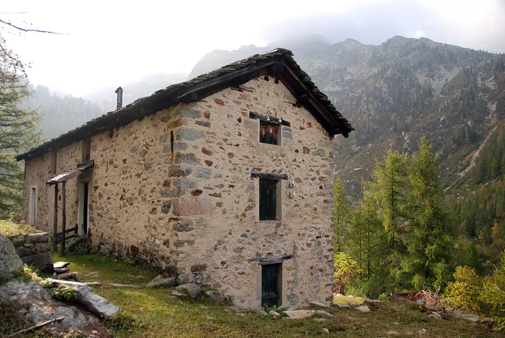
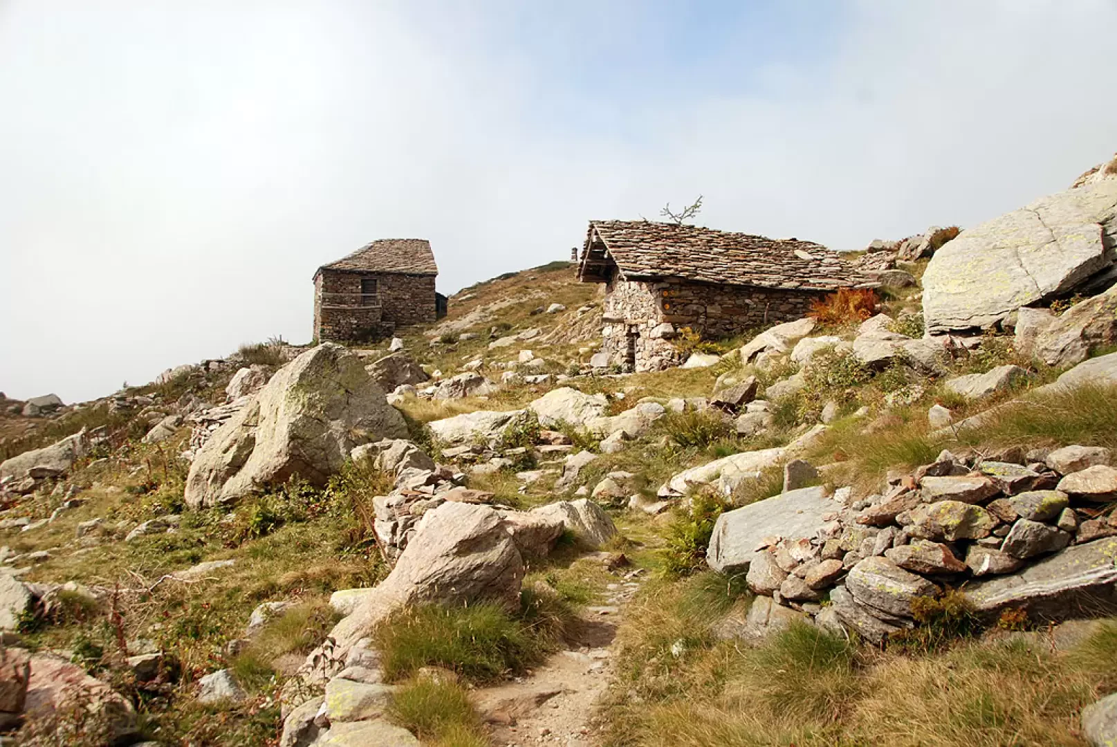
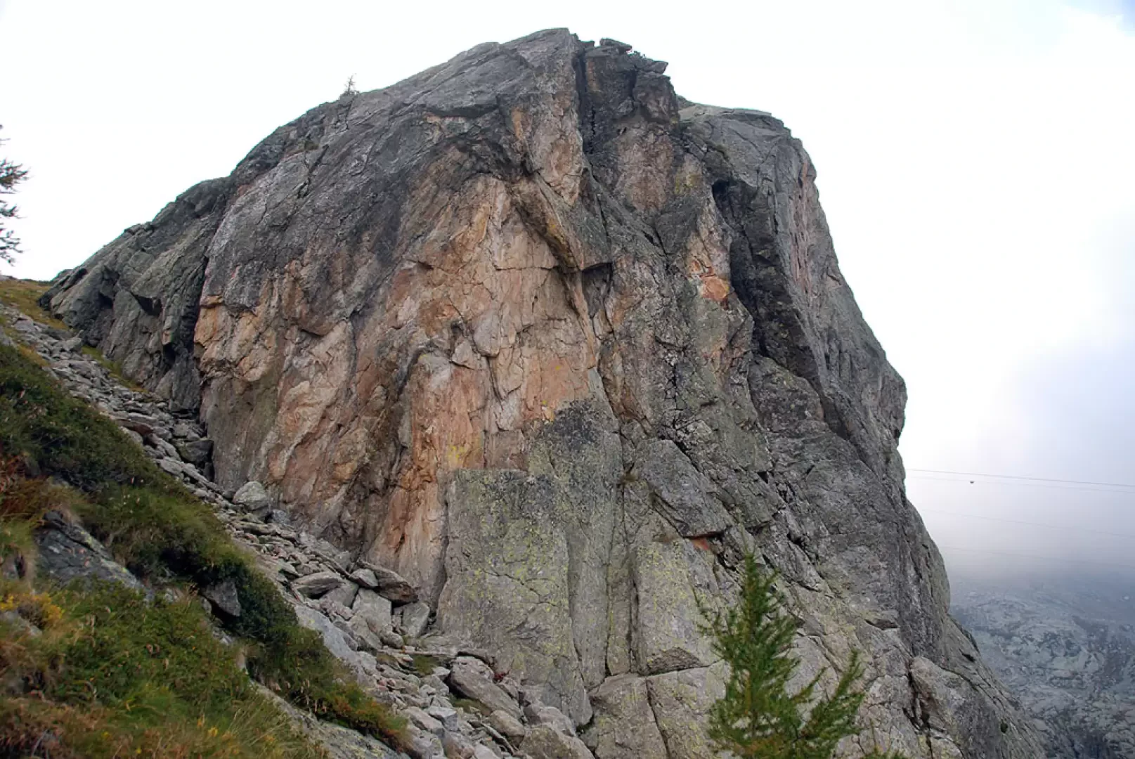
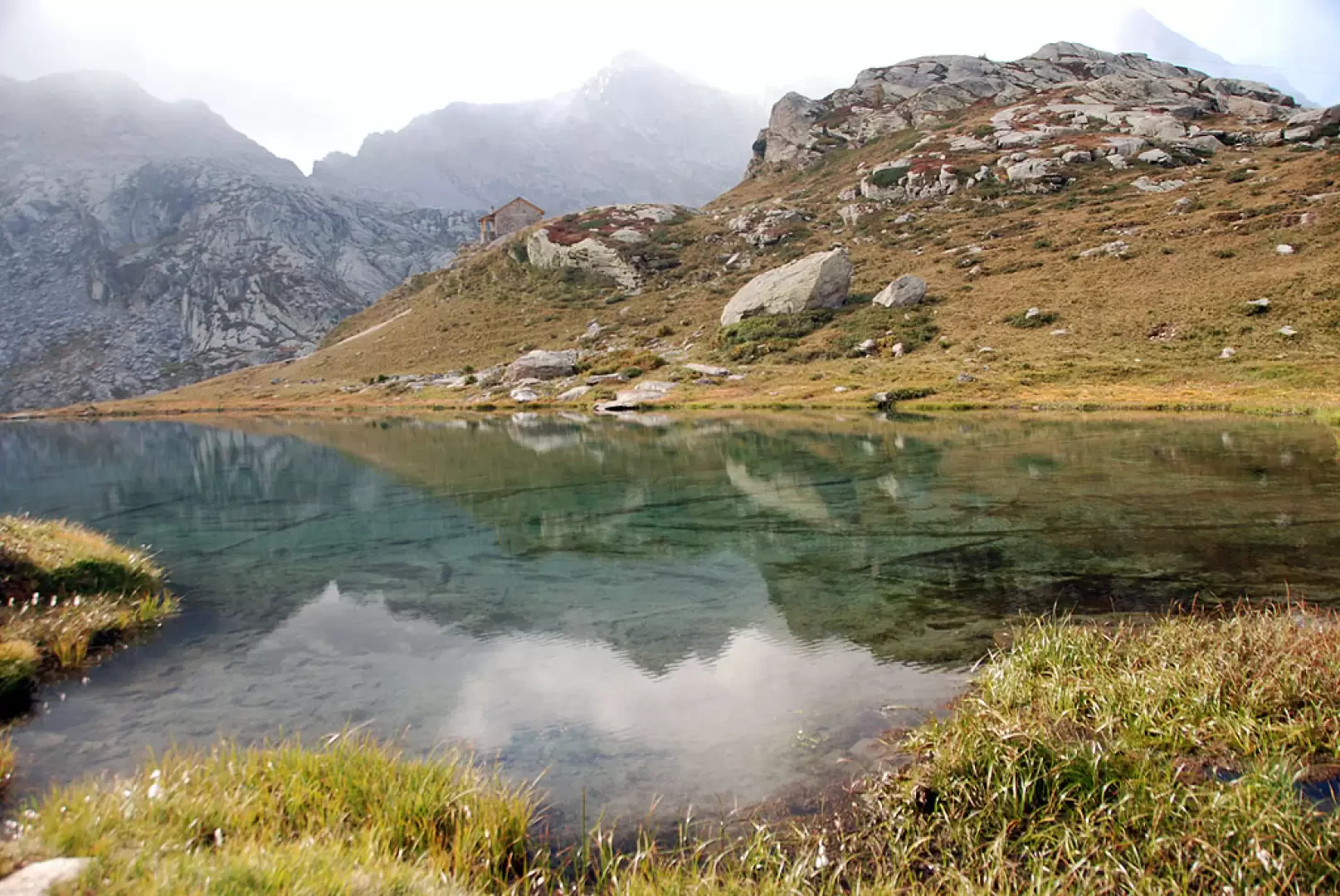
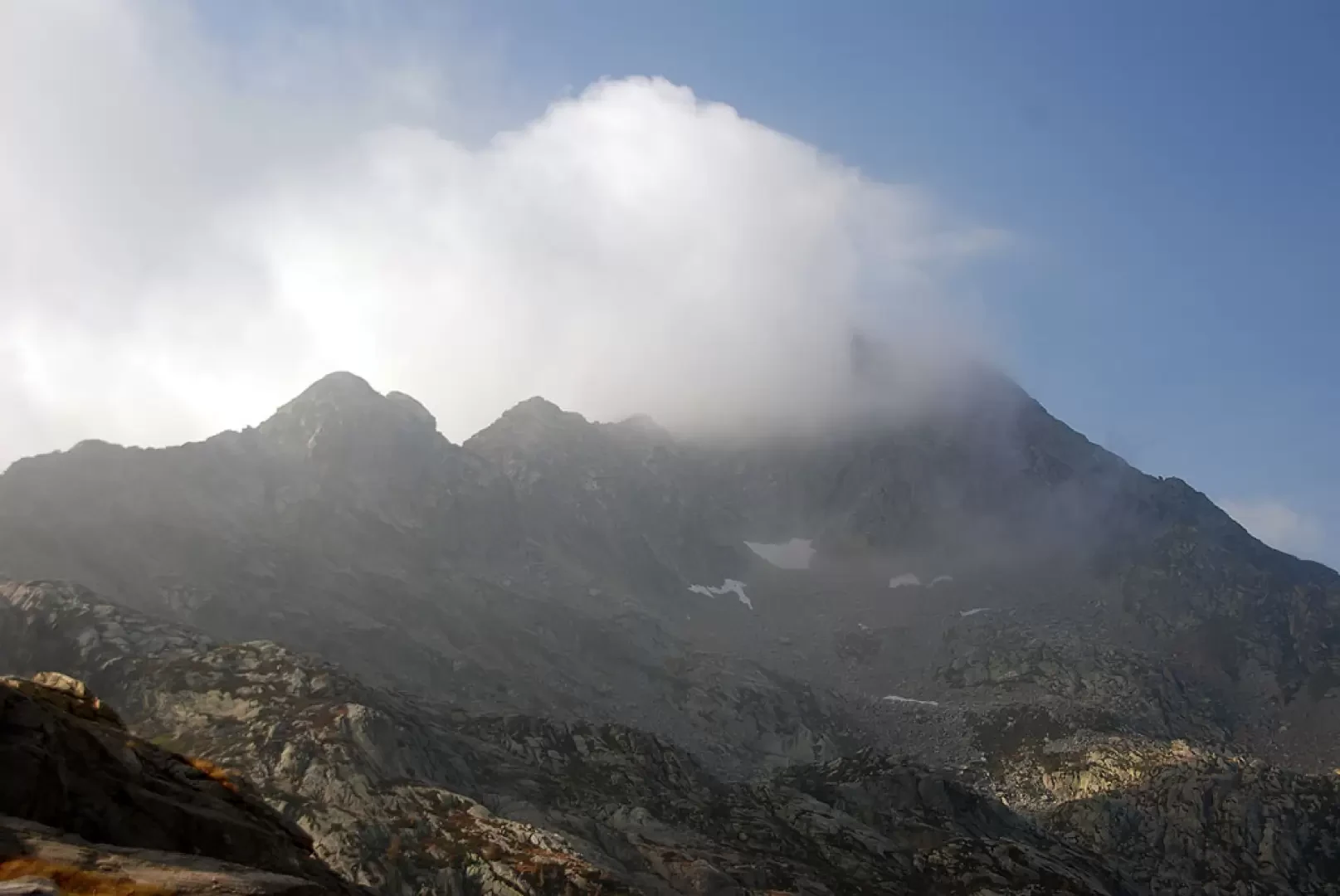
up to a grassy stretch again; take a few hairpin bends and you will reach Lé Lounc (1942m, 2h00'). Leave the houses of Lé Lounc and immediately come to the junction for Col Chardoun, marker (2B) (1932m, 2h05'): ignore the path to the right that descends towards the upper lake of Lé Lounc and continue on the trail until reaching, after a short descent, the first of the Barma lakes. Start climbing again, passing near the future refuge of the Laghi della Barma lakes and entering, still on the mule track, a wide gully at the edge of a knoll. Having climbed up the gully, the trail proceeds for a short stretch that is almost flat and then begins to climb again in the presence of the broad peak of Balma di Oropa. The path, paved in places, climbs up the ridge towards the wide final saddle. The itinerary proceeds over flat rocks in some sections, always well signposted by yellow markers and cairns, until it reaches the wide Col da Barma saddle (2256m, 3h00').
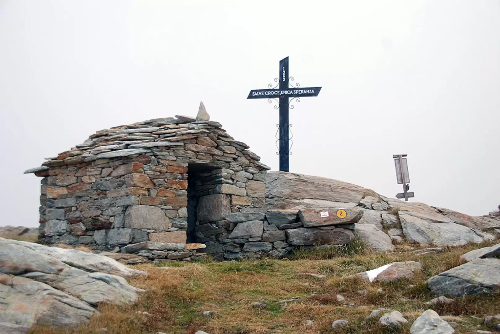
At the pass there is a small chapel topped by a metal cross dated 1963.
The descent follows the same route as the ascent.
Photo gallery


Comments (0)
Sign in to leave a comment