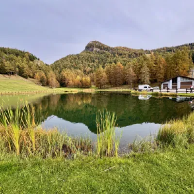
Col de Joux, ring from Grand Rhun
Access
From the Châtillon motorway junction exit, turn right towards the spa town. After passing a set of traffic lights, continue straight on into Saint-Vincent and, at the roundabout in front of the Casino de la Vallée, take the second exit onto Via Marconi. After 300 metres, at the roundabout in front of the Olympic Restaurant, take the 3rd exit and turn left onto Via Conti di Challand. After 160 metres, turn right and take the regional road to follow for 10.7 kilometres, passing Moron, Grun, Salirod, Petit Rhun before reaching Grand Rhun where, on the left, there is a small free car park 🅿️.
[0h21'] - [13.30km]
How to get there with GMAPS
How to get there with Apple Maps
The directions provided were carefully checked on the date the route was taken. However, it is highly recommended to check for any changes that may have occurred since then, especially regarding the route to the starting point. Before embarking on your journey, it is advisable to consult up-to-date navigation tools for accurate and up-to-date directions. We recommend the use of satellite navigation apps, such as Google Maps or Apple Maps, to ensure the most accurate and safe route.
Introduction
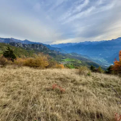
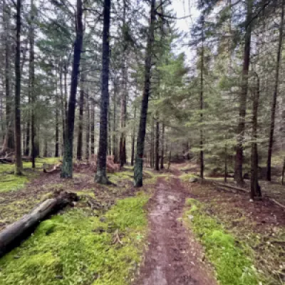
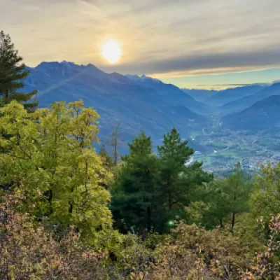
The circular hike from Grand Rhun to Col de Joux, in the municipality of Saint-Vincent, is a fascinating route that combines breathtaking views, unspoilt nature and an immersion in the tranquillity of the Aosta Valley Alps. This itinerary, ideal for lovers of outdoor walks, winds through coniferous forests, alpine pastures and panoramic viewpoints, offering spectacular views of the surrounding mountains and the valleys below.
The Col de Joux, located at an altitude of 1,640 metres, is a historic pass connecting the Aosta Valley to the Val d'Ayas, and has always been an important passage for shepherds, hikers and travellers. The loop route allows you to discover the local biodiversity and enjoy the peace of the forests, far from the hustle and bustle of the city.
With a moderate altitude difference, this hike is suitable for intermediate hikers and offers several opportunities to stop and admire the landscape and breathe in the fresh mountain air. The departure from Grand Rhun marks the start of an adventurous day, with well-marked paths and striking views, with the Col de Joux as the central stage of a journey that combines beauty and serenity.
Description
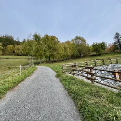
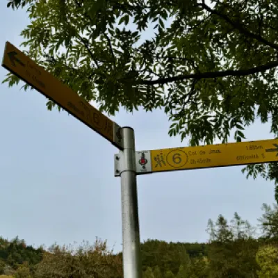
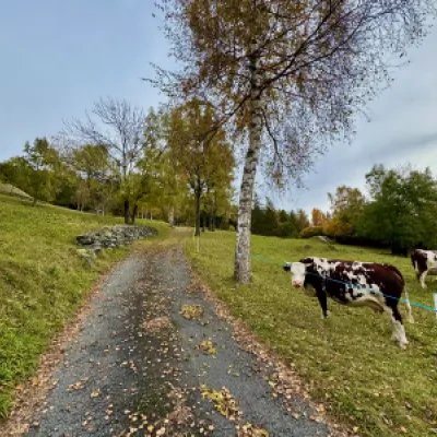
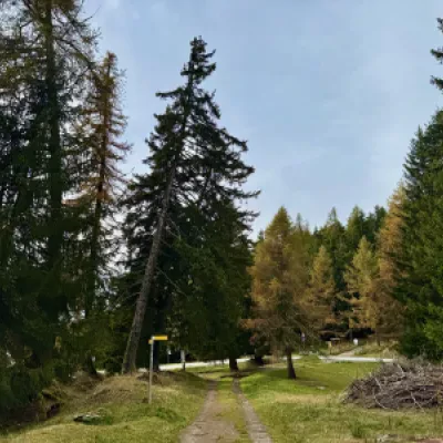
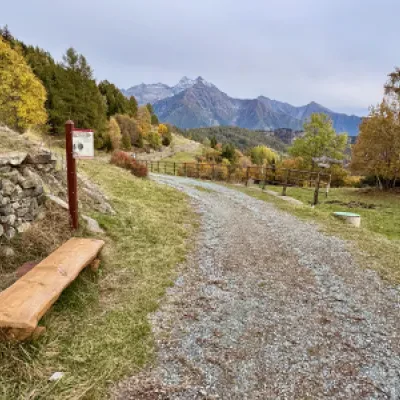
0h00' 0.00km Briefly follow a small asphalt road until you come to a signpost.
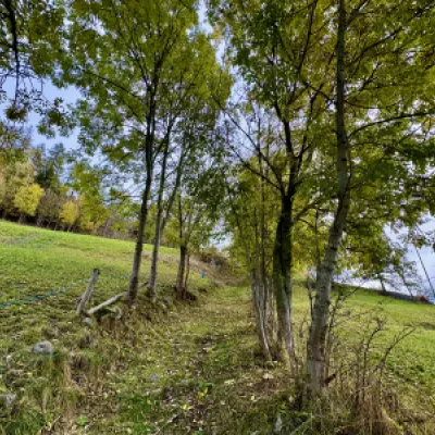
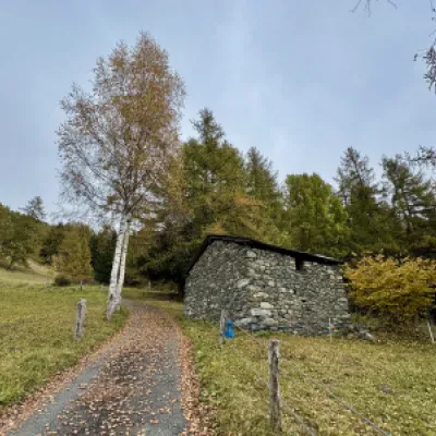
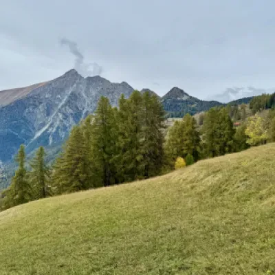
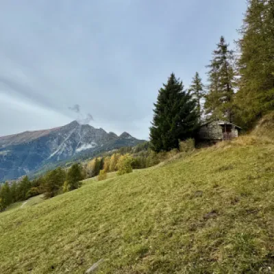
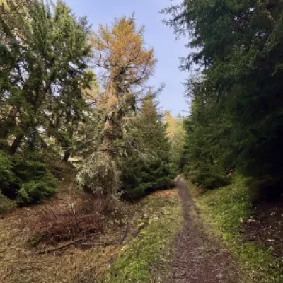
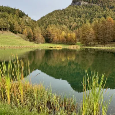
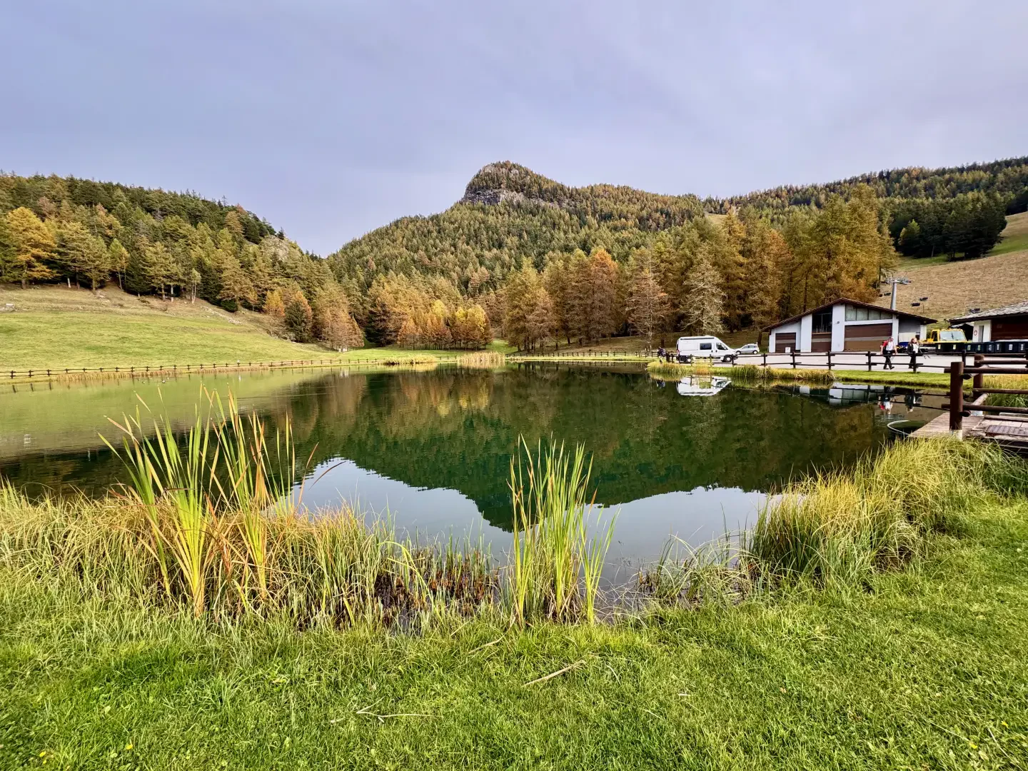
0h02' 0.04km Turn right onto the paved mule track that climbs up the pastures and, after a couple of bends, reaches the regional road . Cross the road and take a new path bordered by birch trees (Betula pendula) until reaching some small stables. The road gives way to a farm track that climbs up the pastures at a moderate gradient, while on the left you can admire the imposing silhouette of Mont Zerbion. Reach a last farmhouse and enter the fir forest. The path mitigates the slope and, in the cool of the forest, leads below Palud. After a turn to the right and a sudden steepening of the slope, you reach the pleasant basin where the Palud reservoir and restaurants connected to the former Col de Joux ski resort are located.
0h45' 1.33km Turn left and climb up the little access road to the resort until you reach the hamlets of Palud (1622m) 💧, after which, at a marker post, turn right. Go through a short stretch of woodland to join pastures and then a dirt track.
0h53' 1.67km Turn left and follow the track into the woodland until you reach a marker post.
0h56' 1.86km Disregard the right-hand fork for the Tête de Comagne and continue straight on until you reach the Col de Joux (1635m).
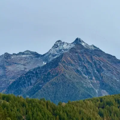
1h00' 1.92km Turn left and follow the track back onto the dirt track, which is flat and crosses the pleasant area of the Col de Joux. Continue through the forest, which occasionally gives way to panoramic views of Mont Zerbion and the peaks of Val d'Ayas. After crossing the ski slopes, the track joins the small road coming from the ski resort square.
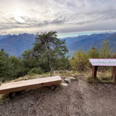
1h15' 3.15km Continue on the dirt track in a southerly direction, following the sinuosities of the slope. After about 700 metres, you will come across a track to the left, which you should ignore in order to continue on the main route without the risk of losing direction. Along the way, there are some explanatory panels about the Great Matterhorn Balcony. The track begins to descend and, after about one kilometre, you reach a viewpoint where, on 9 July 2001, Pope John Paul II stopped in contemplation. The track now descends at a steeper gradient and, as suggestive glimpses of the lower Valle d'Aosta and the bold Dames de Challand open up, you soon reach a signpost.
1h40' 5.25km Turn left and, after a short descent, you will reach the pretty chapel of Sommarèse dedicated to St James the Greater.
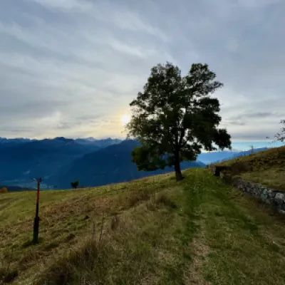
1h42' 5.31km Turn right and go round the chapel to join a grassy path that shortly afterwards joins a small agricultural road. Continue in a north-westerly direction along the track until reaching a clearing with a bench. The track ends, and one proceeds on an undulating path that crosses the slope between sparse vegetation patches. Slowly, the trail enters the forest, which becomes increasingly dense and shady. After a few short ascents, the path begins a long descent until it joins the regional road . Immediately to the left, a new path is found and leaves the road. After a short descent, you will come to a fork in the road.
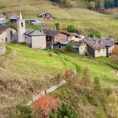
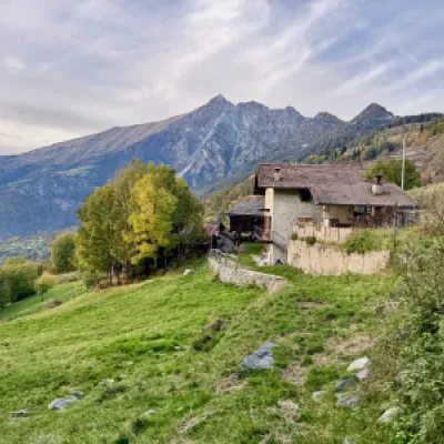
2h15' 7.82km Turn right and follow the path, which with a few ups and downs leads to the village of Grand Rhun (1345m). Pass through the village until you come to a marker post.
2h27' 8.57km Turn right again and walk up the short track to the regional road and the car park 🅿️ 2h30' 8.61km .
Points of interest
- Grand Rhun
- Palud
- Col de Joux
- Sommarèse
- Sommarèse Chapel
