Col de Gragliasca, from Coumarial


Edited by:
Massimo Martini
Updated at: 21/06/2026
Access
Leaving the motorway at the Pont-Saint-Martin exit, after 100m turn right and you will come to a first roundabout, take the second exit. A little further on you come to a second roundabout: take the third exit, and you enter the centre of Pont-Saint-Martin. After a few hundred metres you come to the start of the road to the Valle del Lys: turn right and follow it for 10.2km, passing the villages of Lillianes and Fontainemore. About one kilometre after the village, turn right and follow the signs for Pian Coumarial. Cross the Lys and climb up the communal road for about 7.3 km, passing in sequence the villages of Colombit, Pacoulla, Pianpervero, Jugeo, Chouchal, Pra Dou Sas, Cios, Challasc, Colla, Grange, Savaroy, Goy and Coumarial until you reach the large car park at the end of the road. In the adjoining picnic area there is a fountain 💧 for refilling water: there are no other water points along the route.
[0h30'] - [18.9km]
How to get there with GMaps
How to get there with Apple Maps
The information provided here has been verified on the date of the survey of the route. Before setting off, it is advisable to ensure that no substantial changes have occurred on the route to the starting point. We therefore recommend the use of the satellite navigation apps provided by Google or Apple for up-to-date and detailed directions.
Introduction
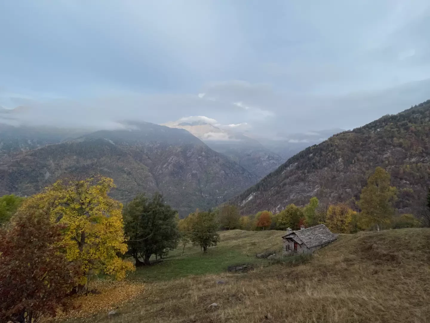
The Col de Gragliasca or Colle della Gragliasca is an alpine pass that separates the Cervo Valley in the Biella region and the Lys Valley in the Aosta Valley. The proposed route runs within the Mont Mars Nature Reserve.
Description
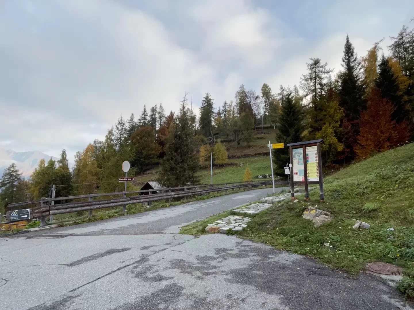
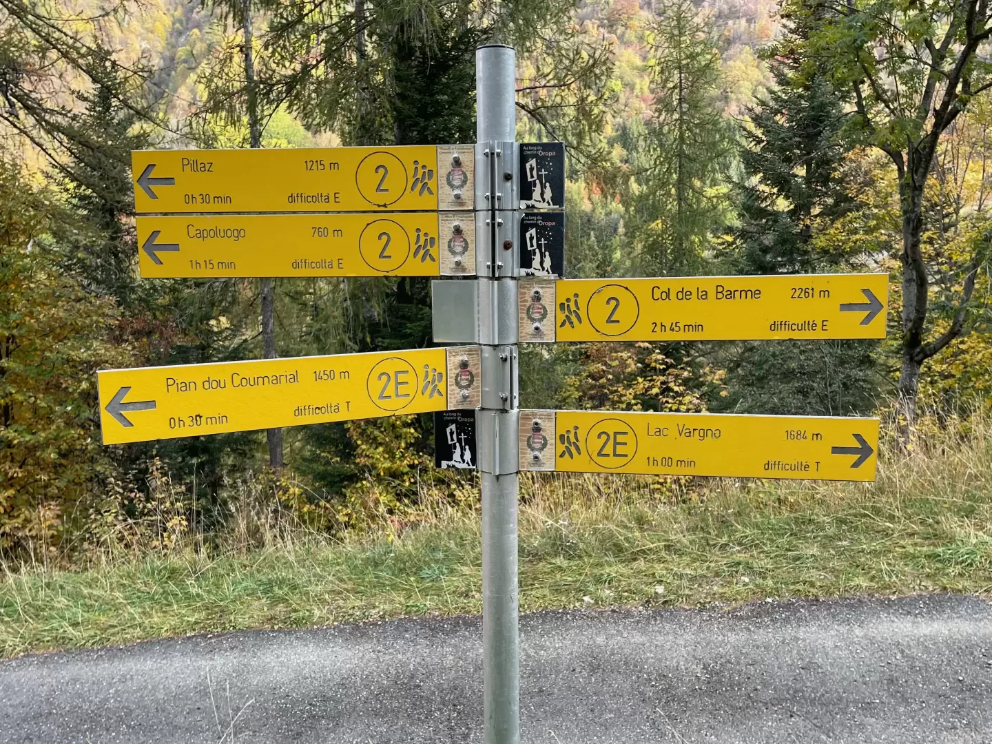
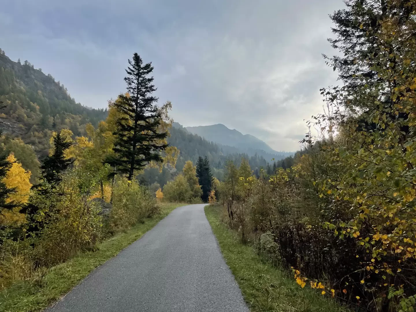
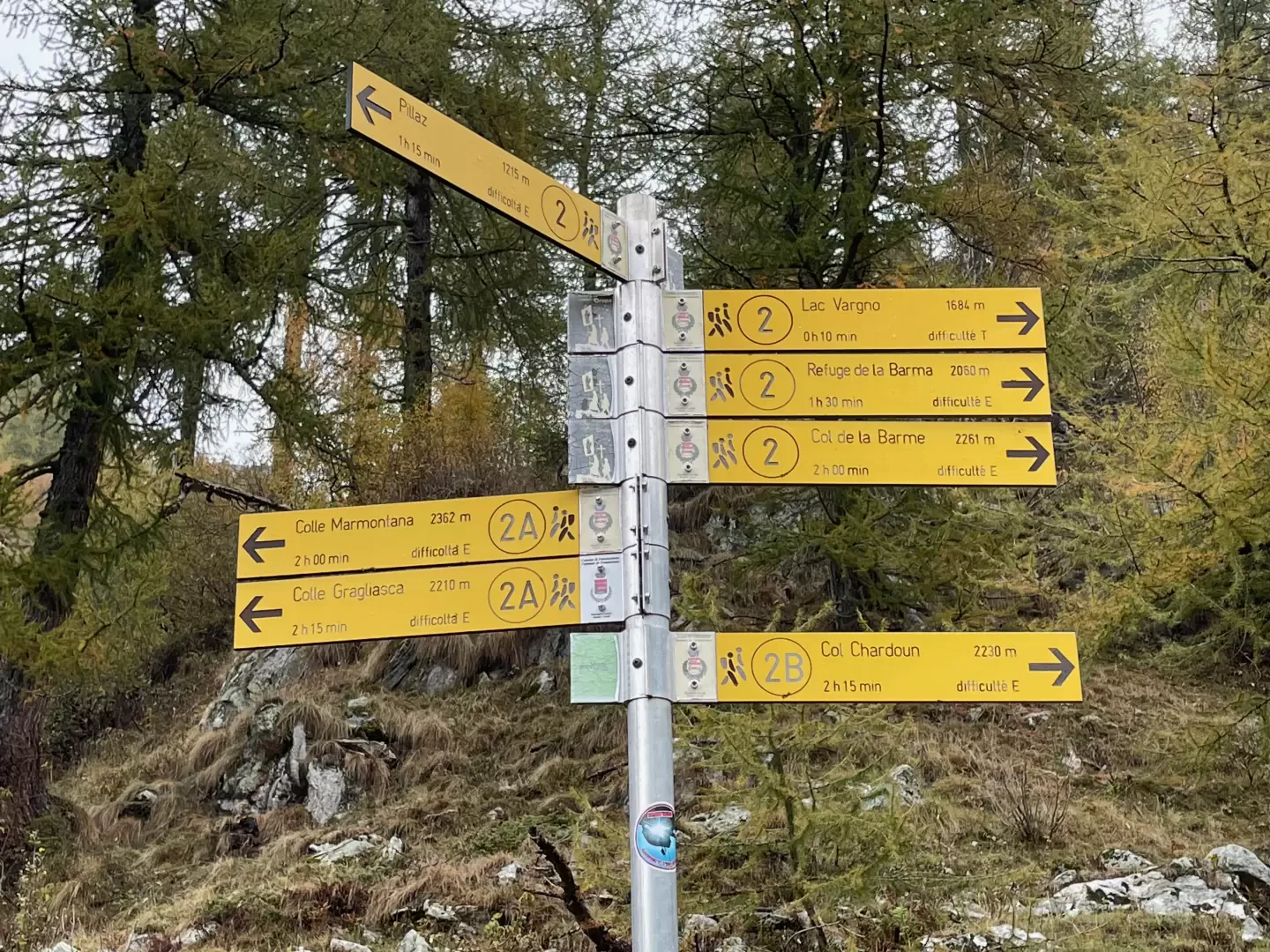
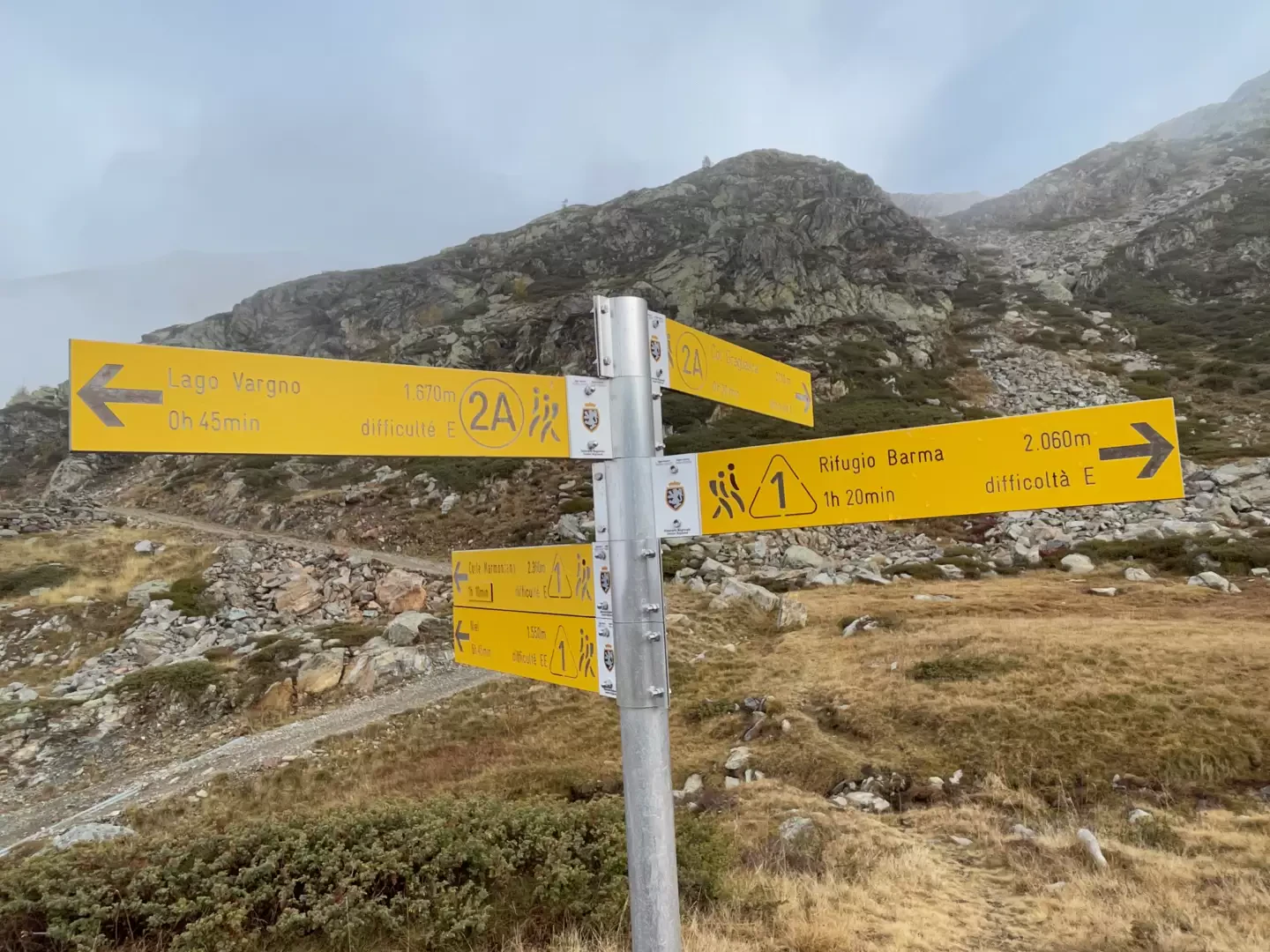
0h00' At the end of the car park, you will come to an information board and a signpost bearing the signs for Lago Vargno, signpost and Mont Mars, signpost . Follow the markers and take a path with stone steps that cuts across the hairpin bend in the asphalt road. Cross the road and continue on the path and then rejoin the road just above to start walking uphill, leaving the last Coumarial cottages behind and coming to a marker signposted for Mont Mars.
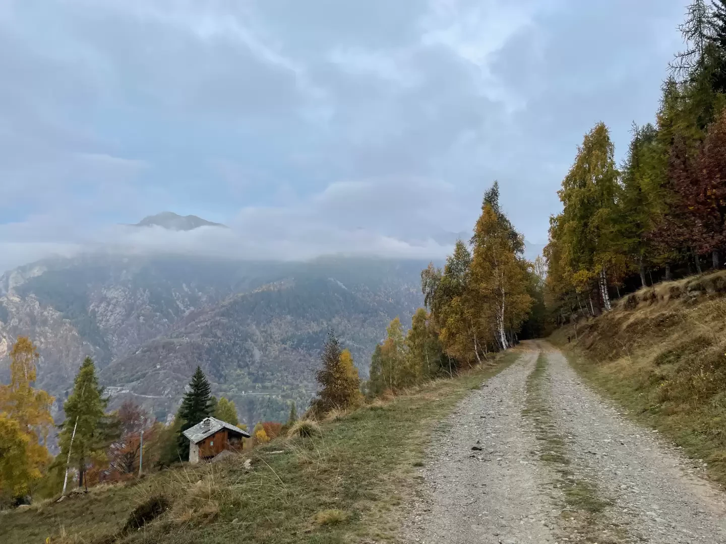
0h07' Keep left and continue on the road, now a dirt track, which runs flat along the wooded slope accompanied by the health trail equipment. You reach the Frédé hut (1473m) where there is a fine panoramic view of the watershed ridges between the Lys valley and the Ayas valley. The little road turns right and begins to descend towards the vallon de Pacoulla until it meets the dirt road coming from Pillaz with the .
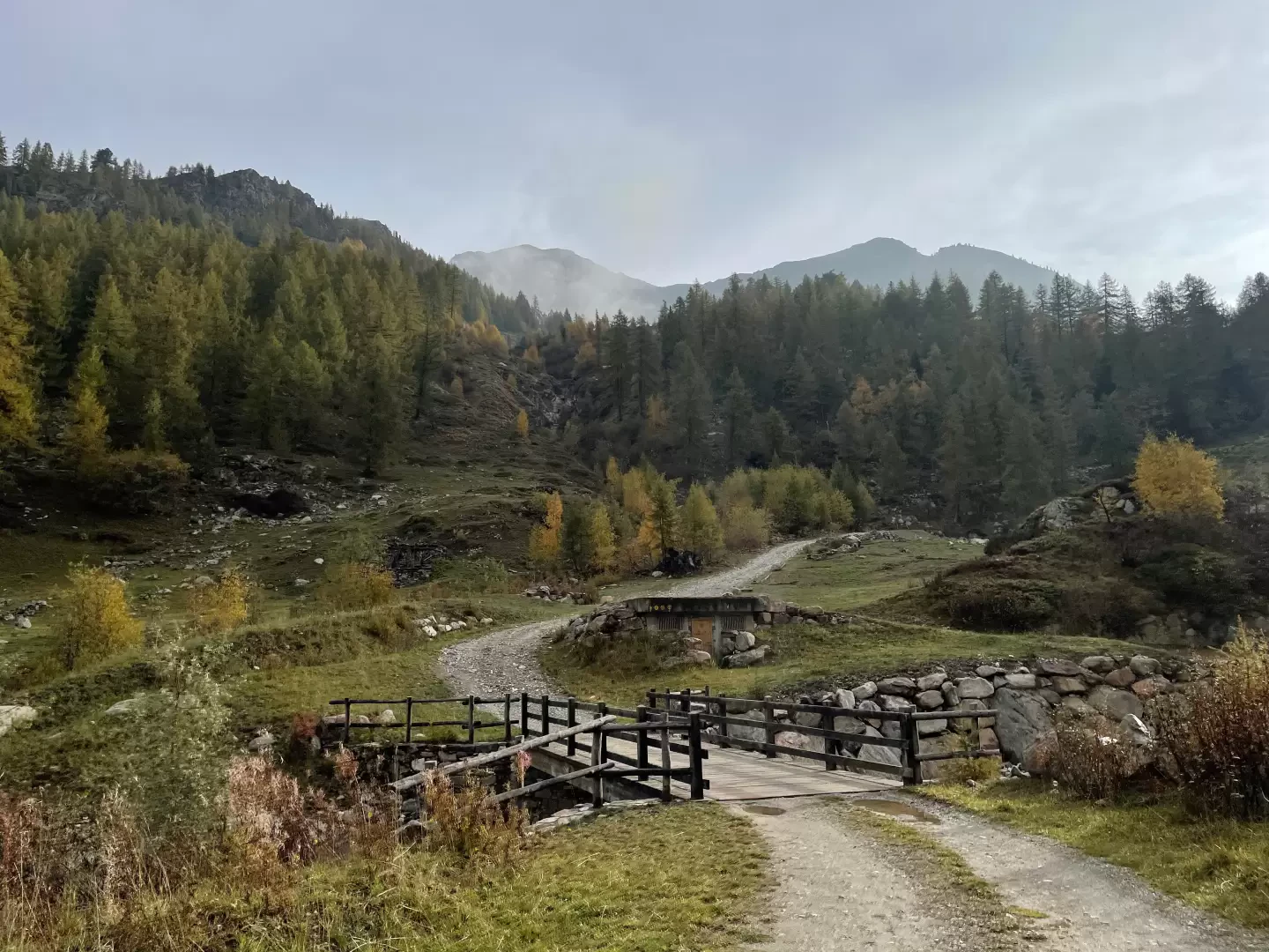
0h35' Take the little road and continue straight ahead until you reach a second fork: go straight ahead, ignoring the little road that descends to the left. A few minutes' walk and you come to a small votive shrine; from here the road begins to climb more steeply. After a straight stretch of ascent, the road takes a few hairpin bends that allow you to gain a hundred metres in height, at the end of which the road reduces its gradient and soon reaches the vicinity of the stream. Cross the stream at an artificial ford and start climbing again with a couple of hairpin bends that lead to the junction for Col Marmontana, marker (1664m, 1h20').
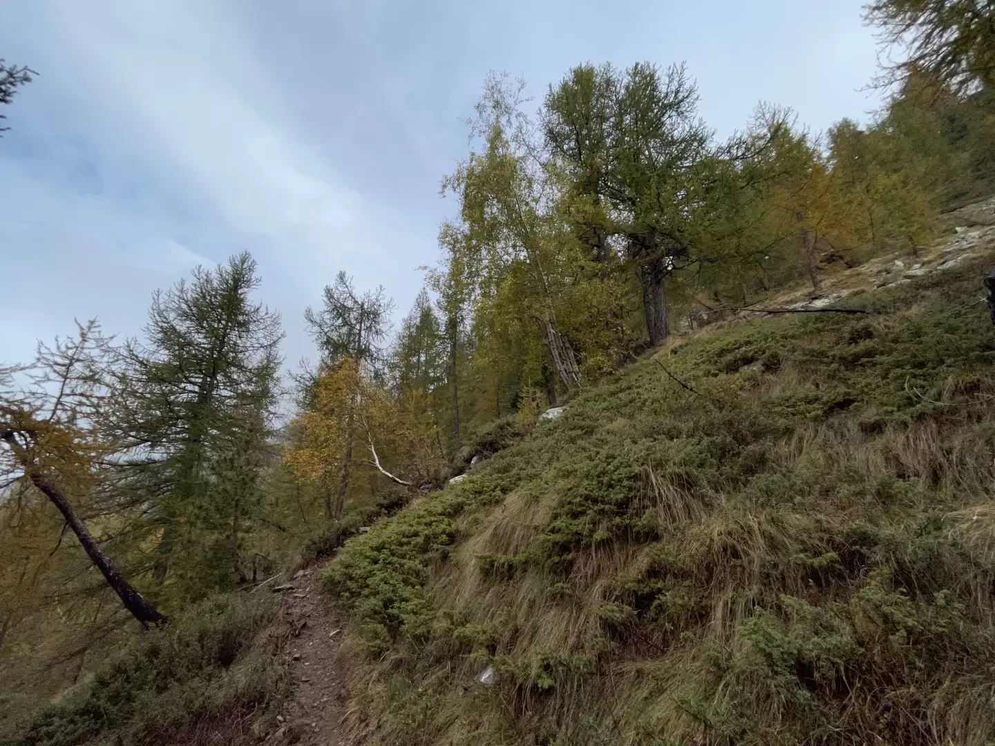
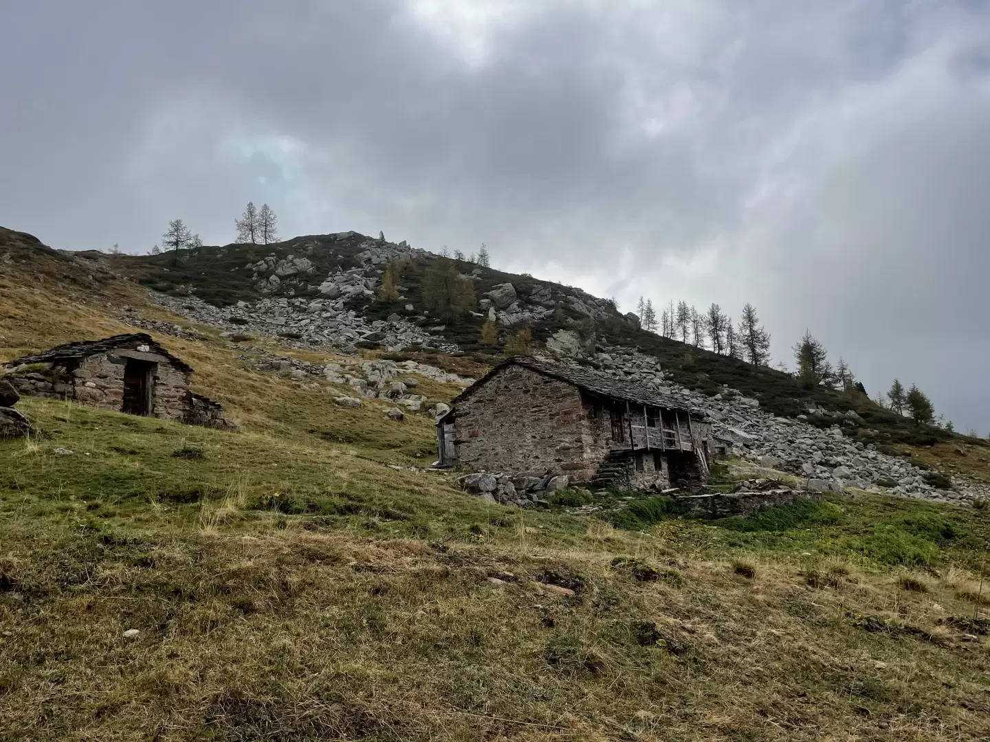
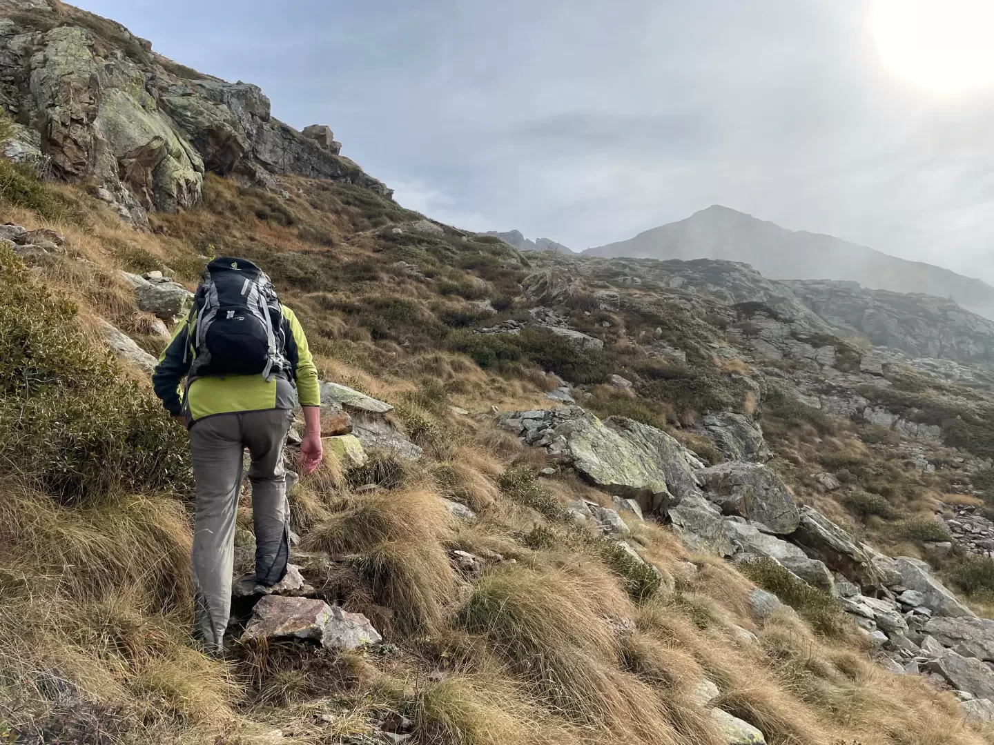
1h20' Turn left, leaving the road, to take the path that, following the signs on the marker post, climbs up the grassy slope. The first part of the ascent is quite demanding; with small turns, you quickly gain height among sparse larch trees before reaching a small grassy hump. The path continues to the left of the hump, entering the impluvium of the Torrent de Grangéas. A little further on, you reach the isolated cottages of Grangéas (1881m) and the dirt track.
1h50' Follow the dirt track for a hundred or so metres before coming to a small stone cairn on the left with the marker : take the path again, which descends towards the torrent's bed and skirts it for a short distance before crossing it without any problems. The ascent becomes more vigorous again and with a few bends you will again reach the dirt road for the Marmontana Alp.
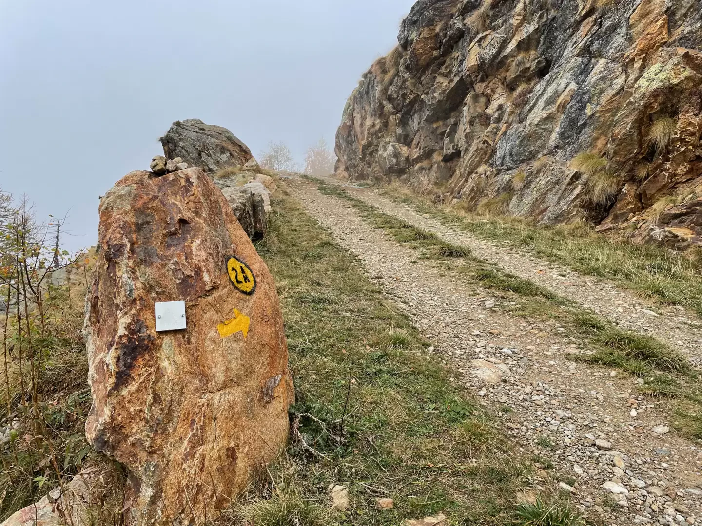
2h05' Take the road again, which a little further on becomes tarmac and turns right before meeting a new stone cairn with the signpost : follow the path to the right, which in a few minutes reaches a marker post announcing the imminent junction with the Alta Via .
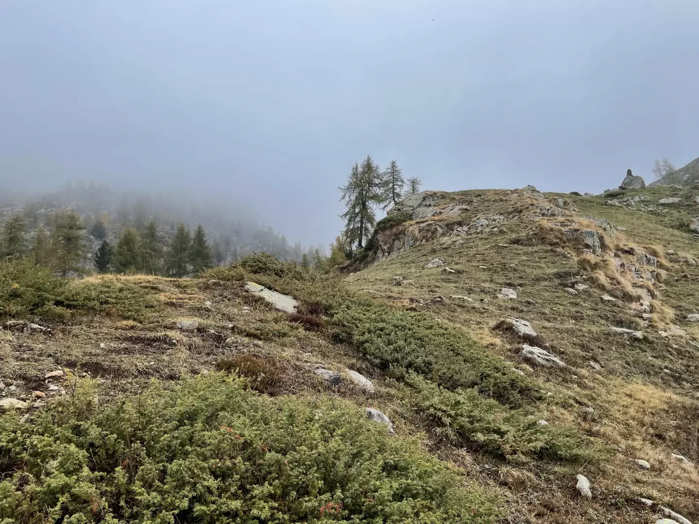
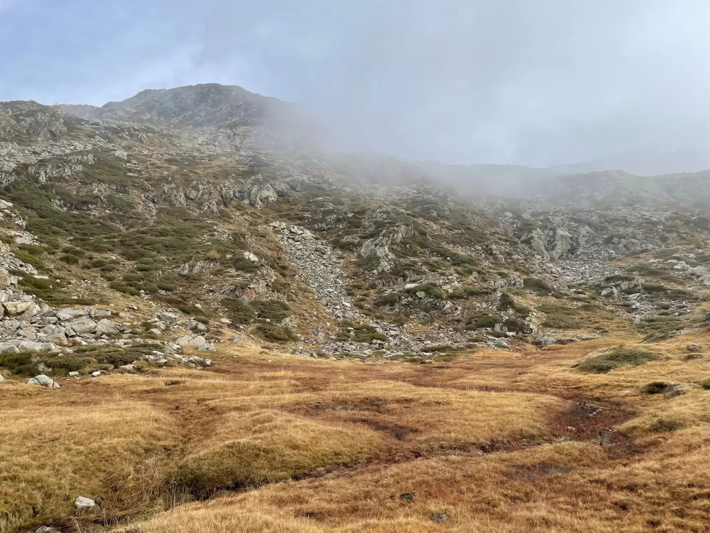
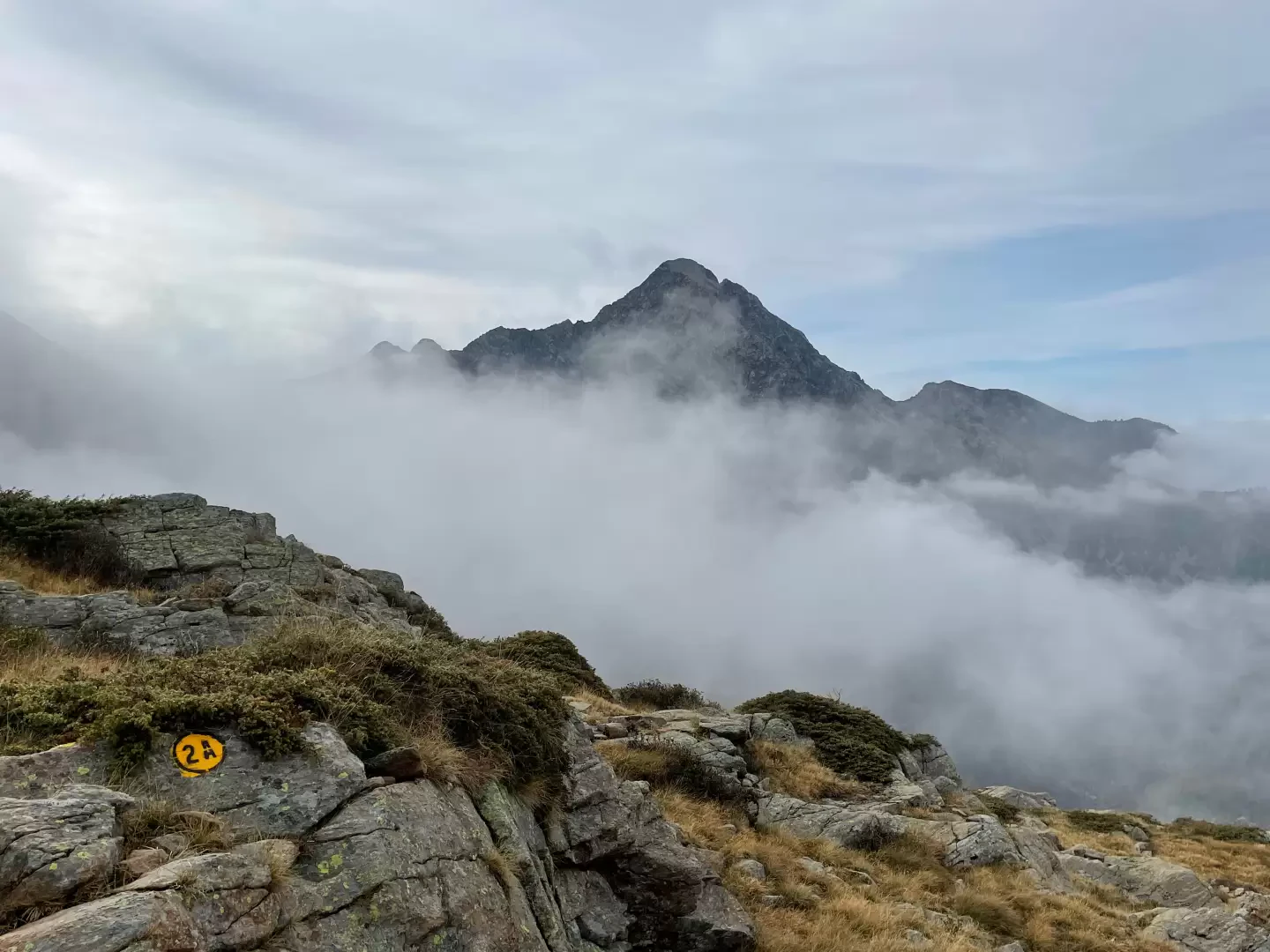
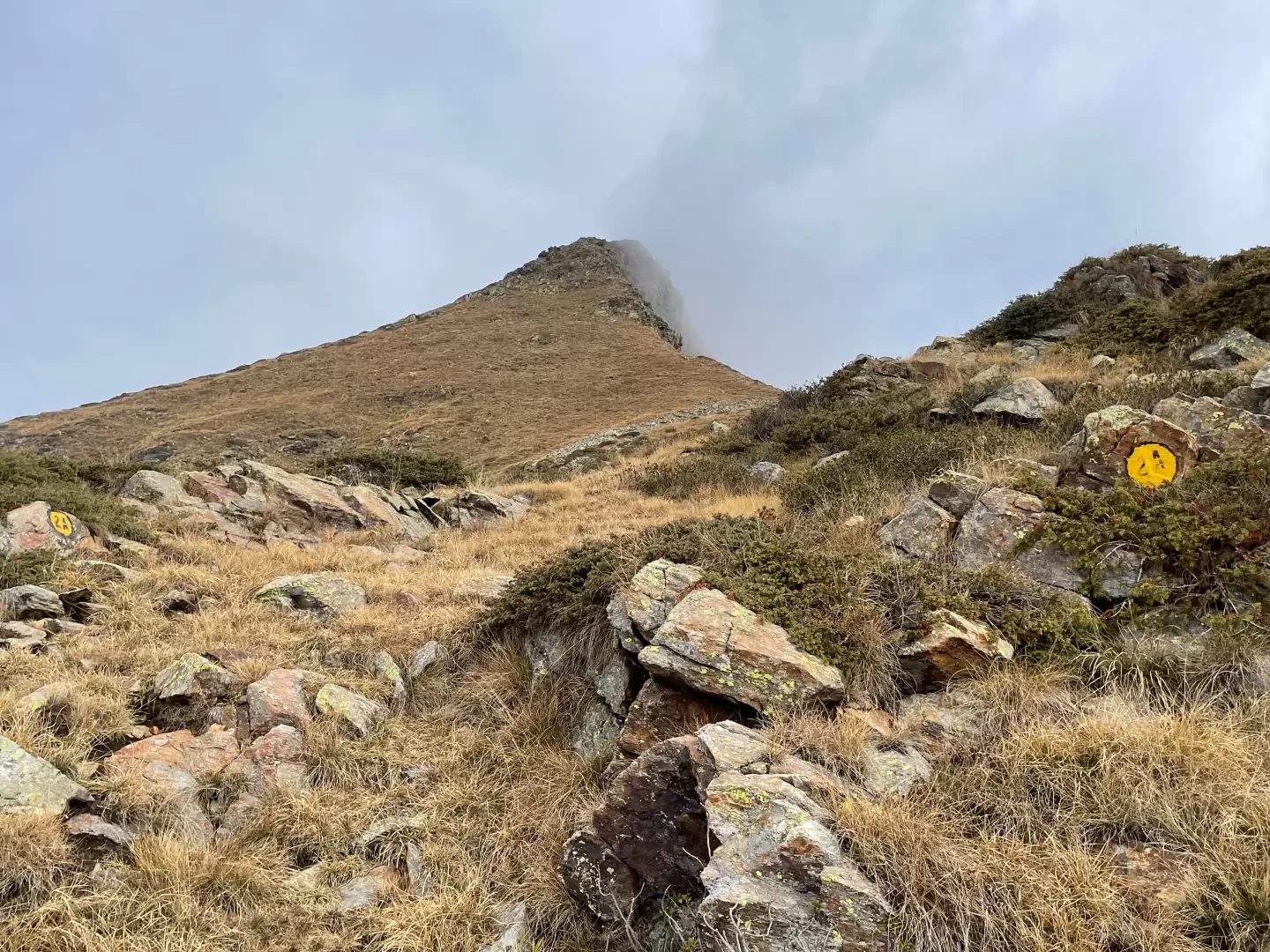
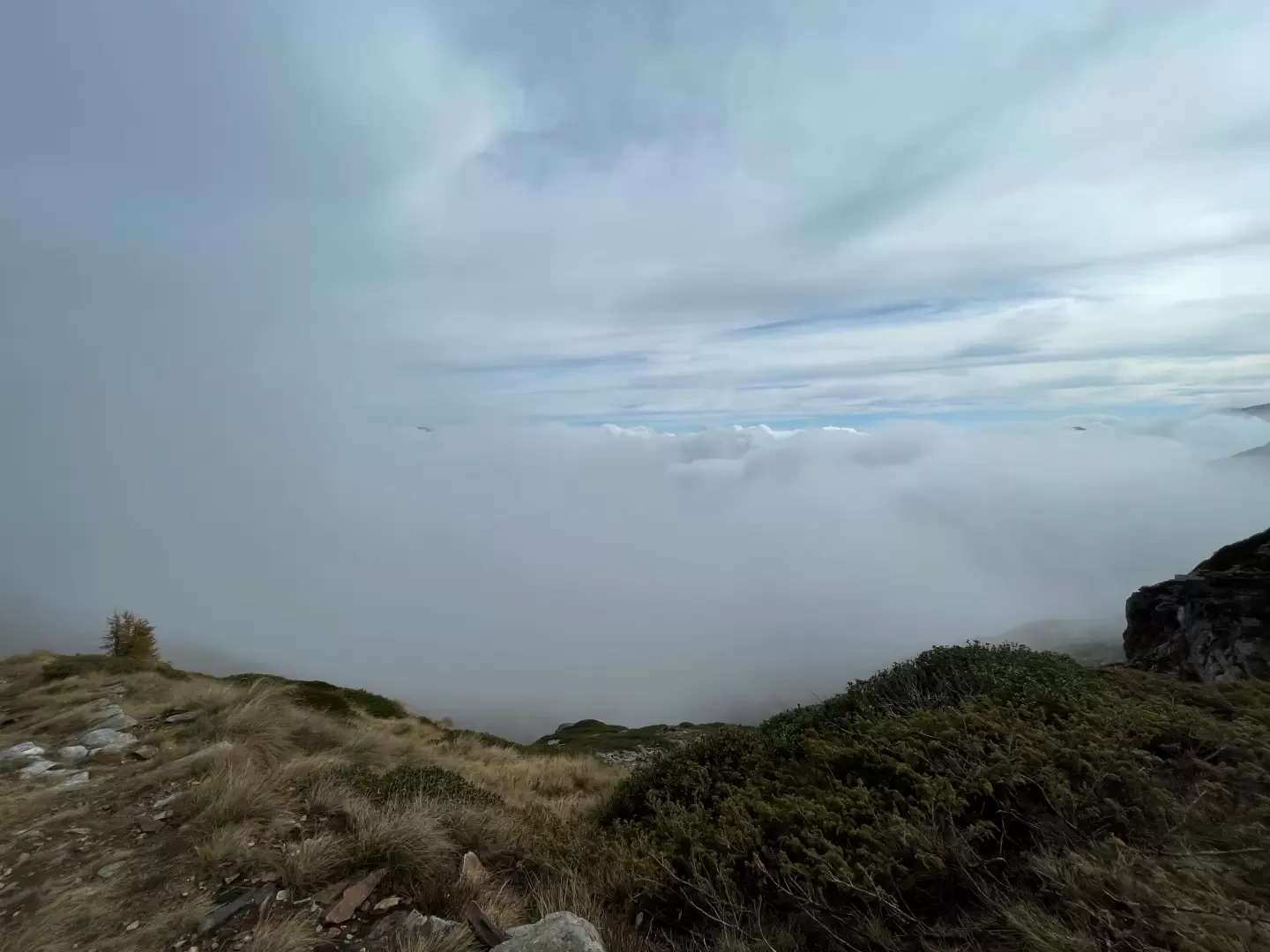
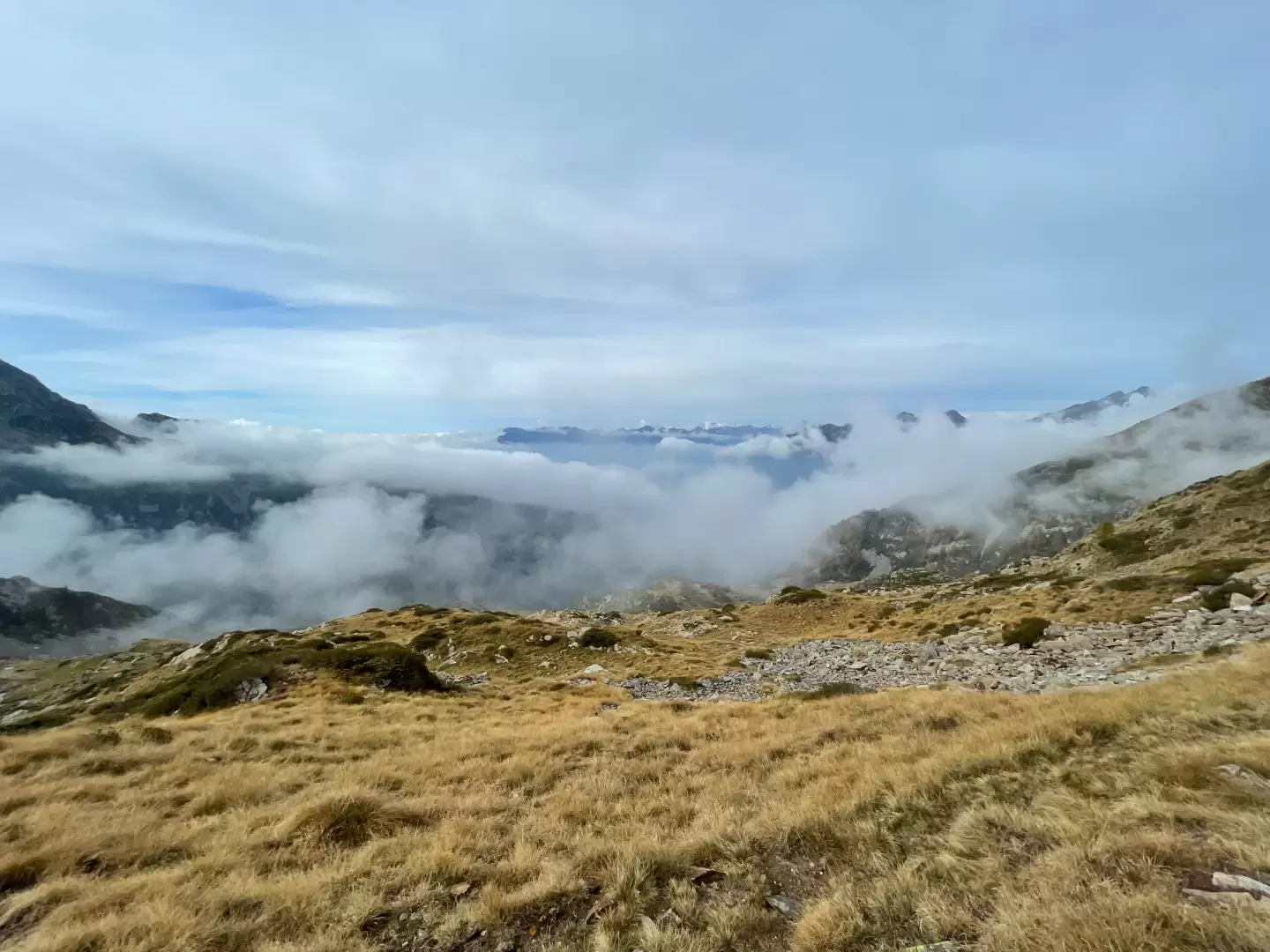
2h05' Continue straight on, passing a stretch of wetland before beginning the last ascent of the route. On faint traces of the path, but with the support of fairly clear markers, climb the first section of the western side of the pass between strips of scree and juniper thickets. As you gain height, interesting views open up of Mont Mars and the peaks bordering the Biella region. Halfway up, the path flattens out slightly, veering to the right and then resuming the final ascent to the wide Col de Gragliasca saddle (2210m), which is reached in a few minutes 2h30' .
The descent follows the same route as the ascent 2h15'
.Photo gallery
Comments (0)
Sign in to leave a comment