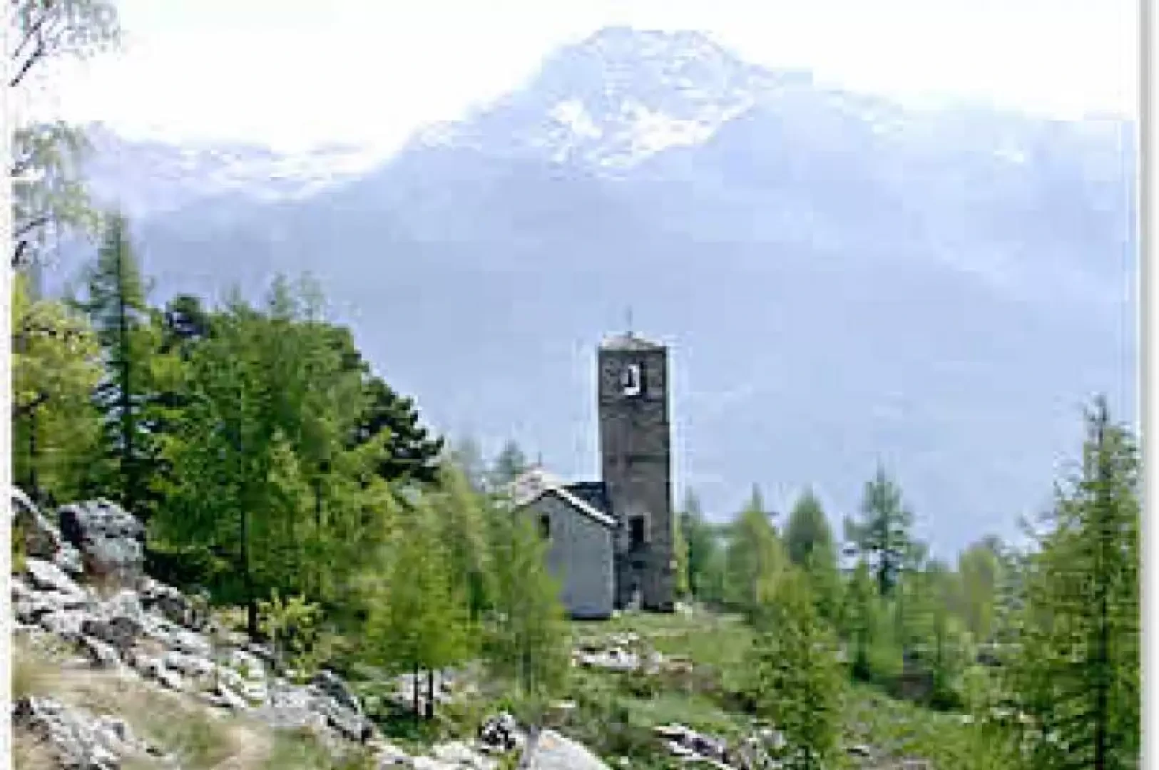
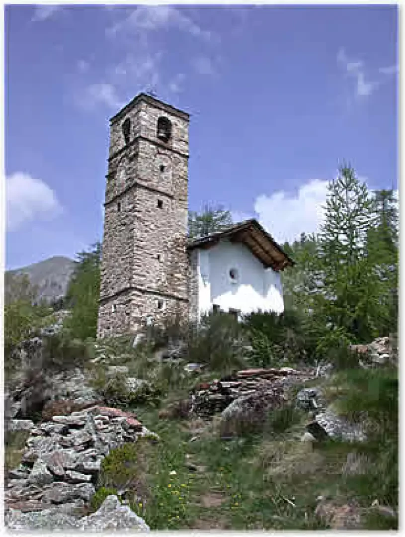
Chapel of Kiry, from Fontainemore


Edited by:
Massimo Martini
Updated at: 17/05/2025
Access
Leaving the [A+5] motorway at Pont-Saint-Martin, after 100 m turn right, pass a traffic light and continue for about 600 m to the turnoff for Gressoney. Enter Pont-Saint-Martin and after 1.2 km turn right onto the regional road for the Gressoney valley. After 10 km you will reach Fontainemore: it is best to park as soon as you reach the village near a five-a-side football pitch.
- How to get there with GMAPS
- How to get there with Apple Maps
Introduction
A hike suitable for those who want to go back in time. Climbing up the impervious mule tracks of the lower Lys valley, one can still savour the emotions of antan. Finally, the arrival at the Chapel and the beautiful panorama that can be enjoyed from up there complete the pleasantness of this experience.
.Description
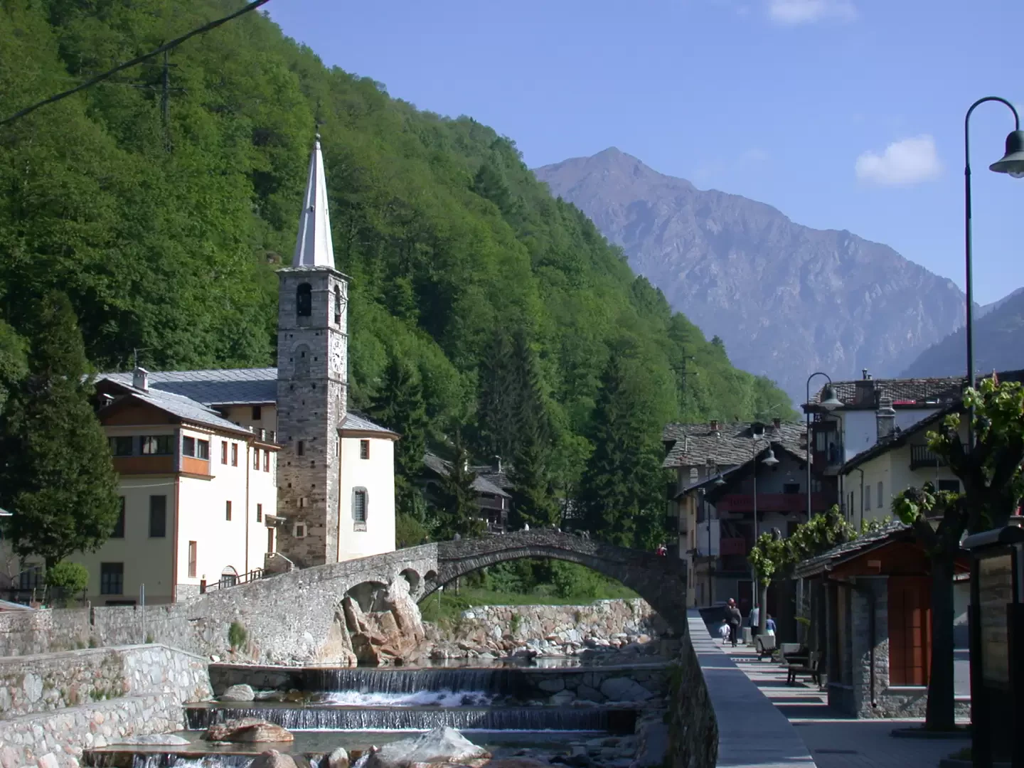
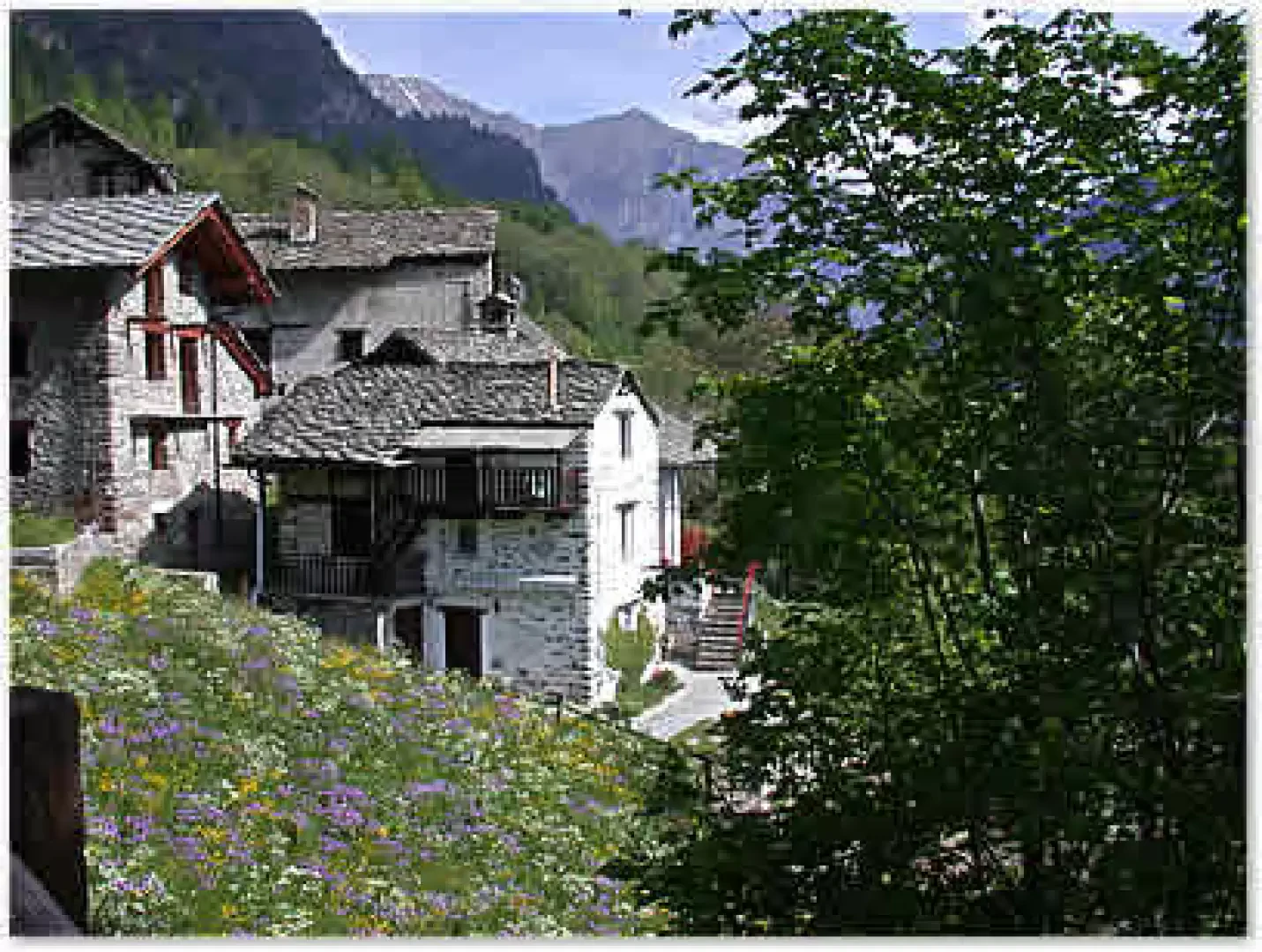
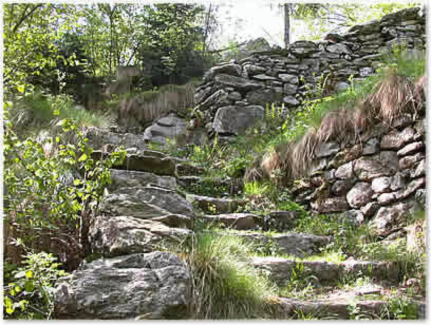
Leaving the car at the above-mentioned car park, follow the orographic left of the Lys stream, with an excellent view of the bridge and the church, as far as the first houses and then turn left and cross the stone bridge. Once in front of the parish church, continue to the right along a small road that leads to the starting point of the path. Having reached the starting point of the path (1), turn left and climb up an initial section of mule track with dry stone steps and a protective fence. Due to its steepness, the roofs of the villages below can already be seen in a few minutes. One ascends the forest consisting of chestnut and oak trees, the path is often supported by drystone walls topped by climbing ivy. After about 20 minutes, we reach a votive shrine and a cross (stop) used in processions. We then pass a cleared section where a power line passes and continue into the forest again; after a memorial plaque, the path flattens out slightly and a protective fence leads us to the village of Borney (1014m 0h40').
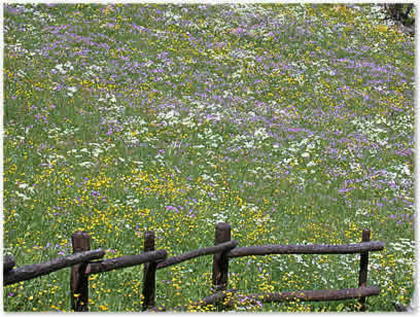
When the path joins a paved road, turn left immediately, always follow the signs for the path (1), and climb up behind the village houses. This section of the path also soon becomes steep, but the effort is repaid by the beauty of the flowering meadows. Once past the meadows, we re-enter the forest now inhabited by a few birch and hazel trees and reach the village of Posa (1135 m, 1h00'). The path, which is always well signposted, climbs up again between two drystone retaining walls, and soon reaches an alpine pasture with an attached hayloft, and after a few minutes the low dwellings of the village of Cara (1179m, 1h10') appear.
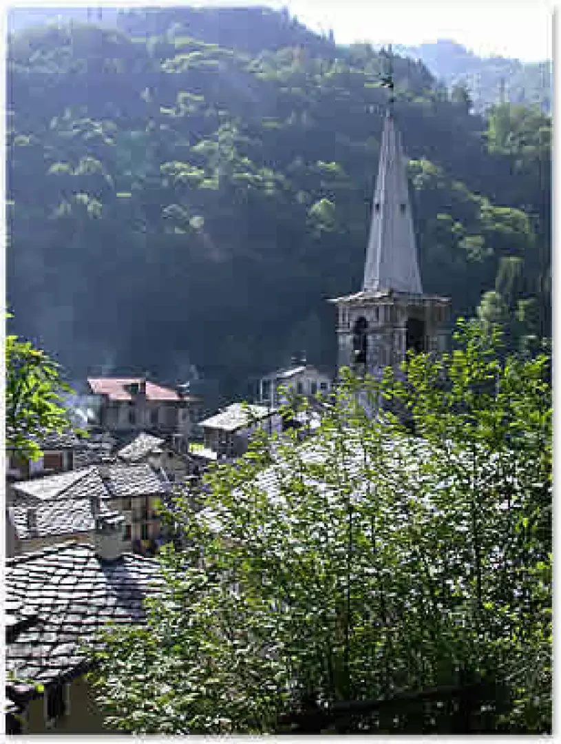
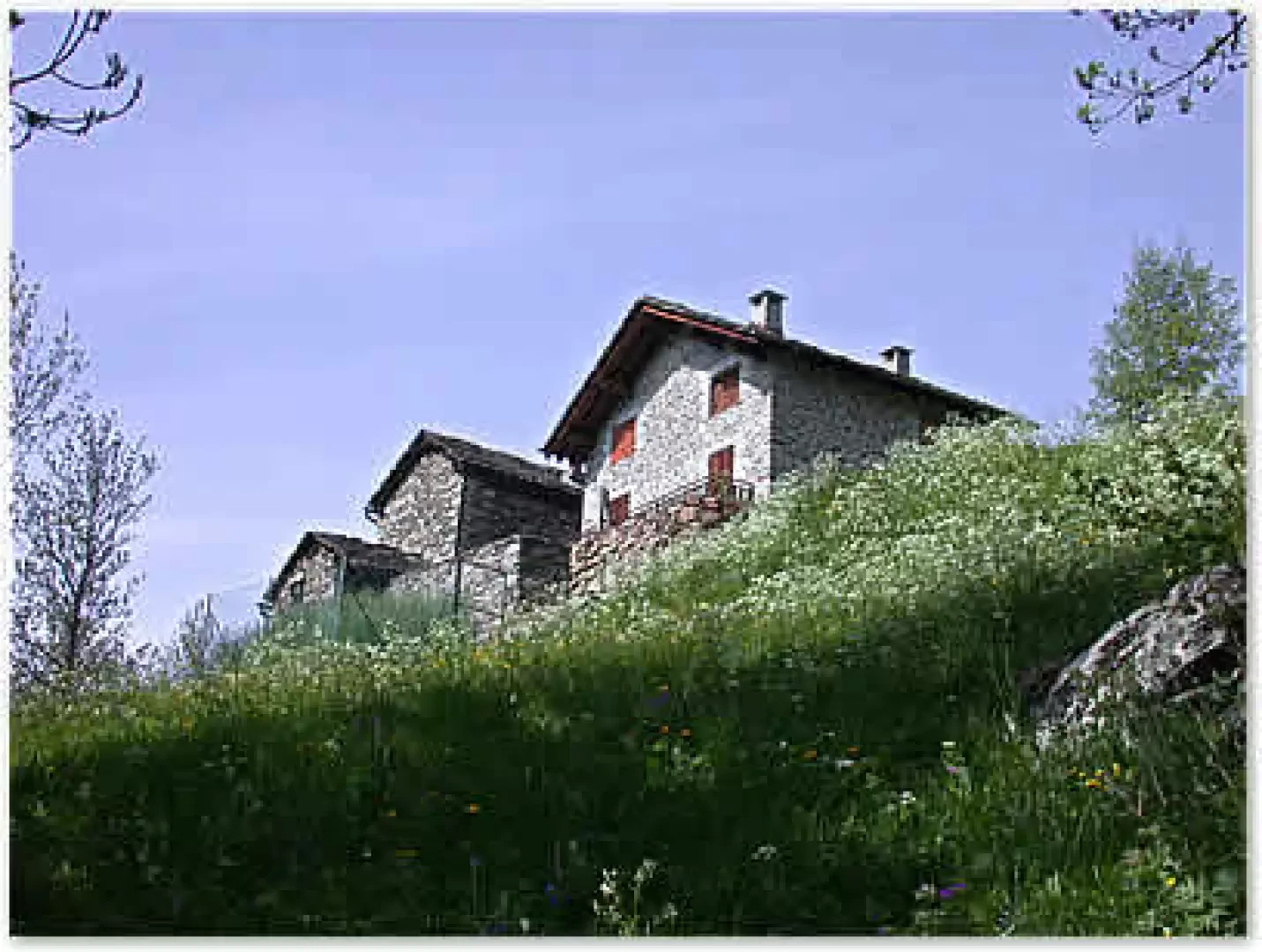
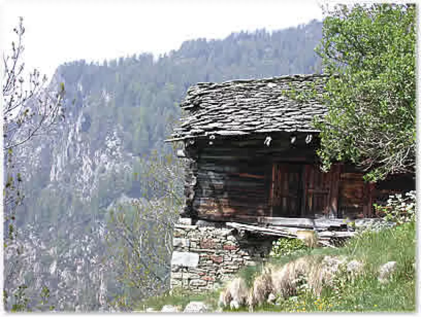
This village can be reached by car and can be the starting point if you want to reach the Prial peak. We cross the tarmac road and continue on a comfortable, stepped mule track (1) that plunges into the forest of beech, hazel and a few spruce trees; from time to time there are glimpses into the dense vegetation that allow us to enjoy a beautiful view of the imposing Mont Mars. During the ascent, it is worth appreciating the effort made by the ancient inhabitants of these villages to make the gradients less harsh with drystone masonry work and steps that make this mule track a true work of architecture. We are now in the vicinity of the village of Châteauroux: just before we find a fork in the road, yellow arrows and painted markers under a gravestone clearly indicate the route to follow and after a few minutes we reach Châteauroux (1400m, 1h50'). At the height of the houses, another arrow indicates to follow the path that departs to the right. Follow a slightly flat section and then climb gently up the terraces below the village of Coulot. After passing under the ropes of a "cable car" with cantilevered cables (used to bring the hay down to the valley), we reach Coulot (1447m, 1h55'); in this village, there are some very characteristic houses (a beautiful stadel is a must-see) and a small chapel. We continue through the village and back into a larch forest; after a few minutes we meet another ruin with a demolished roof: we have reached the village of Kiry (Water, 1447m, 1h55'). We pass by old houses that make us breathe in the scent of yesteryear; we have arrived at a place where the architectural features of rural buildings from a few centuries ago have remained almost intact.
After the village, we continue along the paved mule track, first on a flat stretch then with a steep, winding ascent amidst the larches until we come to the Kiry Chapel on our right. We turn onto a small path on our right and reach the place of worship from the rear.
The panorama from here is captivating: given the position, we can observe the entire area of the Area Potetta del Mont Mars and the peaks at the beginning of the Lys valley such as Bec di Nona, Monbarone and Punta dei Tre Vescovi.
The return journey follows the same route as the outward journey.
General information
Path:from the main town
Signposts: 1
Type of route: a/r
Recommended period:May, June, July, August, September, October
Sun exposureEast
Objective Danger:none
Exposed Trails:none
Useful Equipment:normal hiking equipment
Water:start
Photo gallery
Comments (0)
Sign in to leave a comment