Saint-Germain Castle, from Champerioux


Edited by:
Massimo Martini
Updated at: 01/11/2025
Access
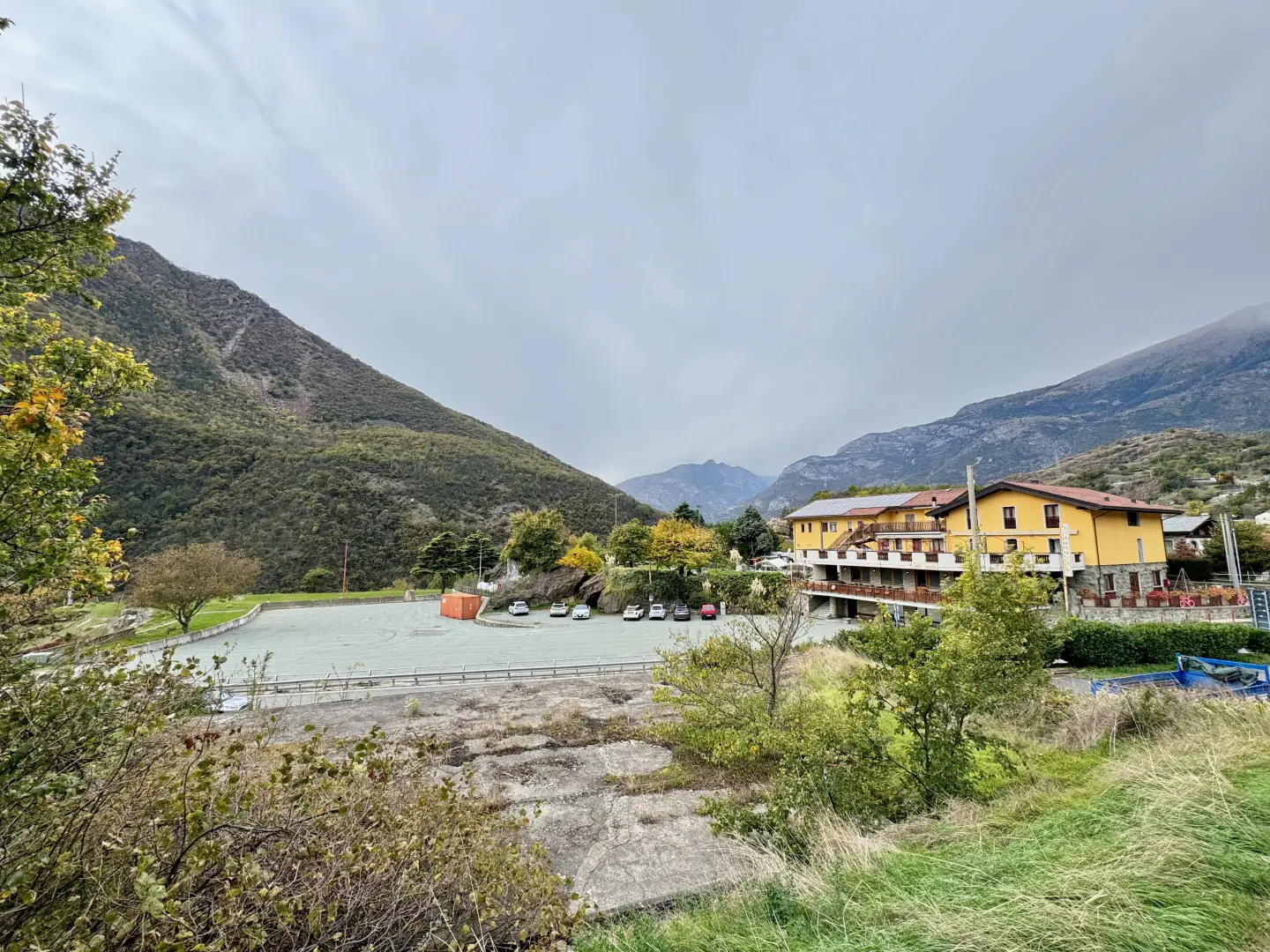
Leave the motorway at the Verrès exit, enter the roundabout and take the third exit onto the state road in the direction of Aosta. After 450 metres, take the first exit at the next roundabout and continue on the Strada Statale for 3.9 kilometres to a new roundabout near the hamlet of Berriaz. Take the second exit continuing on the state road, cross the village of Montjovet and go up the "Mongiovetta"; after 3.7 kilometres on the left you will find the large free car park of the Hotel Castello (🅿️), a convenient place to leave your car and start the hike.
The place is served by public transport; to consult updated timetables and lines, visit the aosta.arriva.it portal.
Distance and travel time
🕒 Travel time: 10 minutes
📏 Distance: 8.1 kilometres
GPS navigation
📍 How to get there with Google Maps
📍 How to get there with Apple Maps
Important note
The information provided was verified on the date the route was surveyed. Before departure, it is advisable to check for any changes to the route. For up-to-date and detailed directions, we recommend the use of Google Maps or Apple Maps.
.Introduction
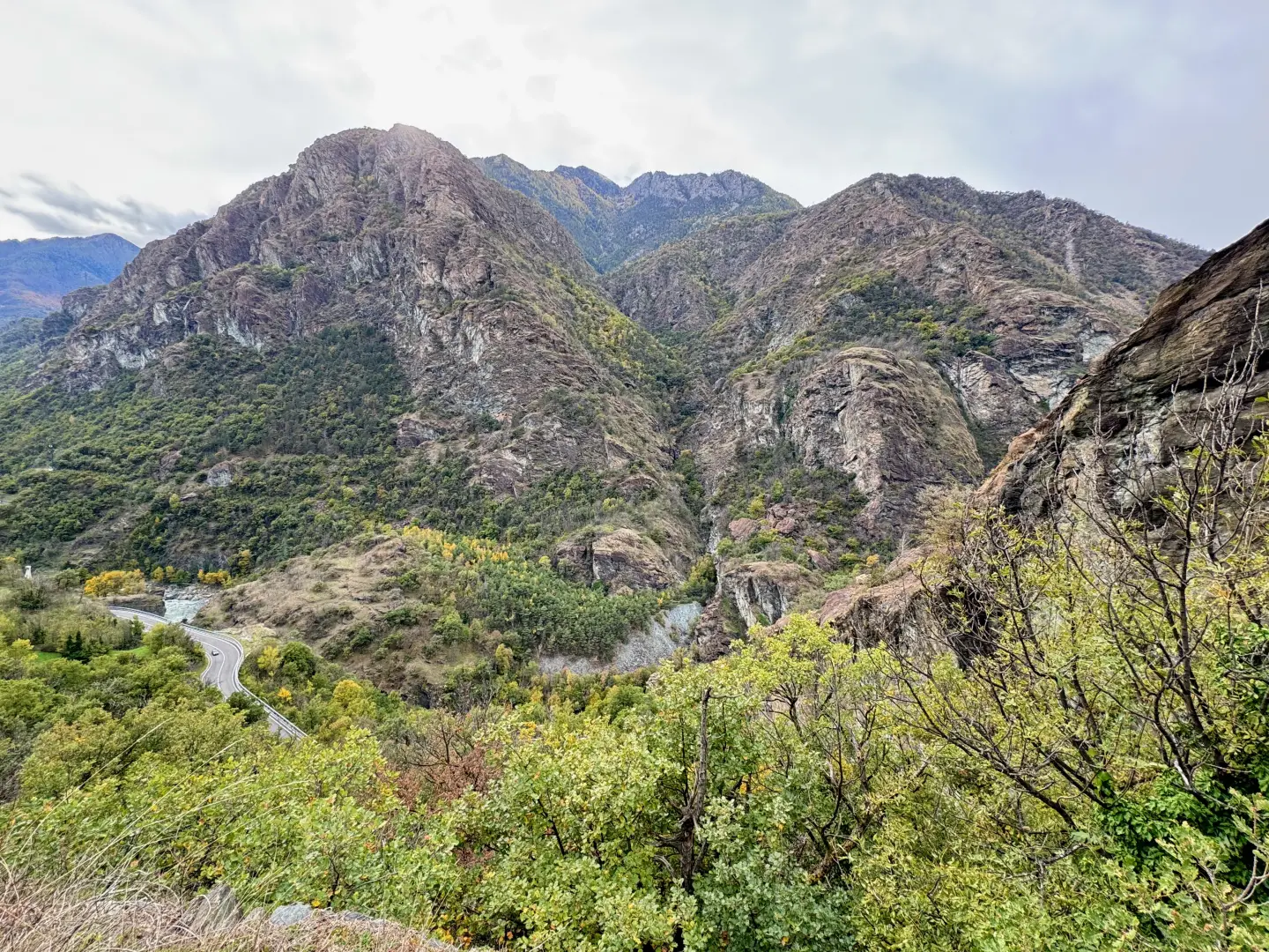
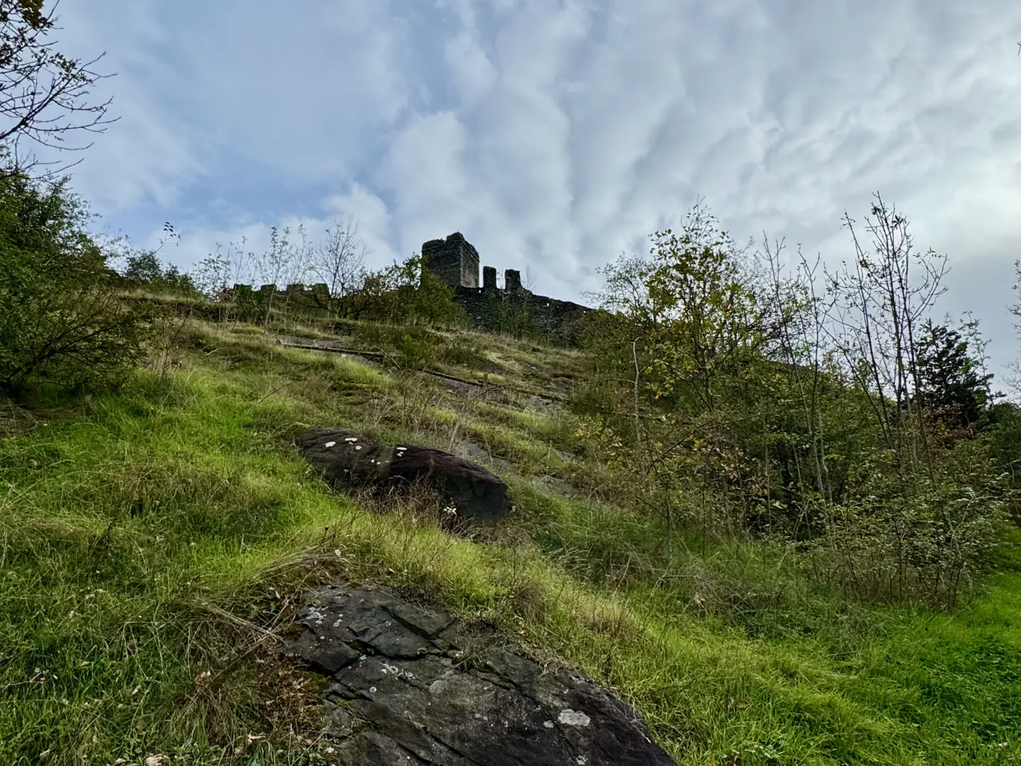
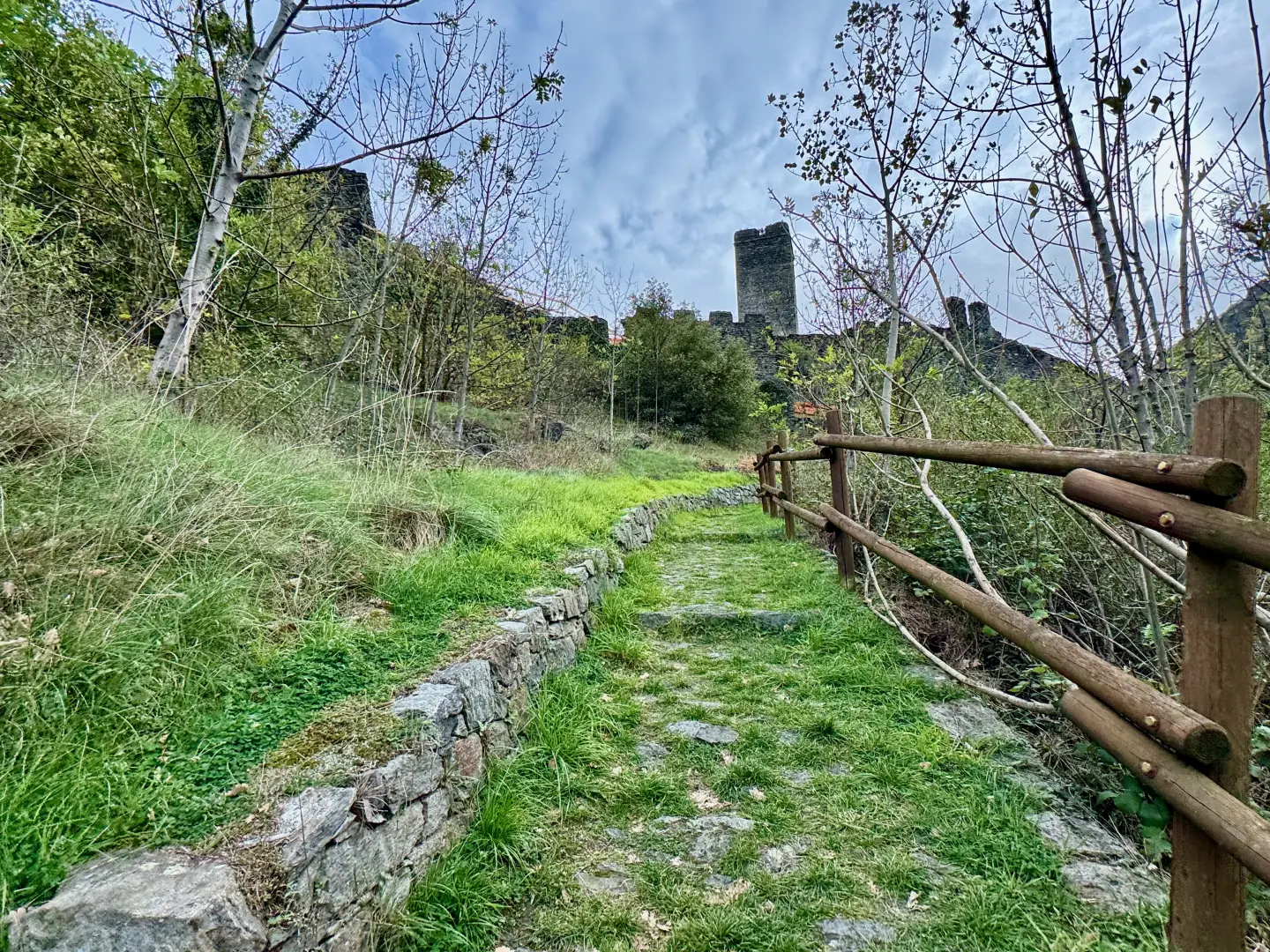
The itinerary develops in the lower Valle d'Aosta, in the municipality of Montjovet, between the hamlet of Champerioux and the promontory on which the Castle of Saint-Germain stands out. The route crosses characteristic environments of the central valley: woods, ancient rural hamlets and open views of the Dora Baltea and the village of Montjovet. It is a short, easy and well-marked excursion walk that leads to one of the most evocative historical sites in the area, today not accessible inside for safety reasons. The main interest is in landscape, history and nature, with the presence of Roman remains, passages through typical thermophilic vegetation and glimpses of the 'Mongiovetta' and the slope of Mont Lyan.
Description
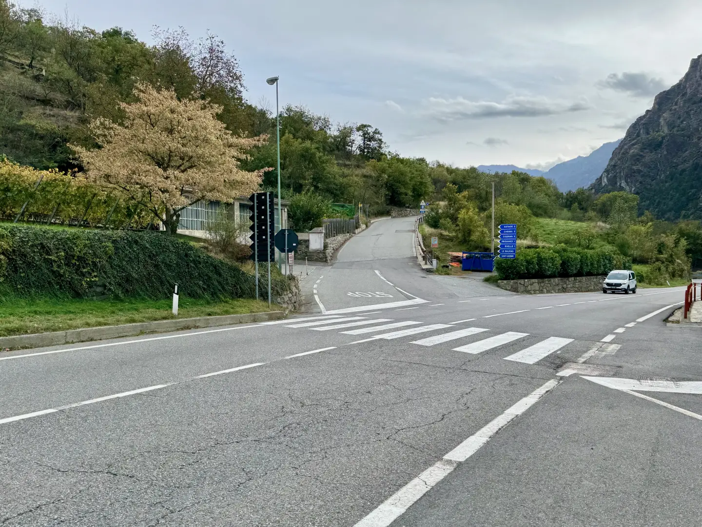
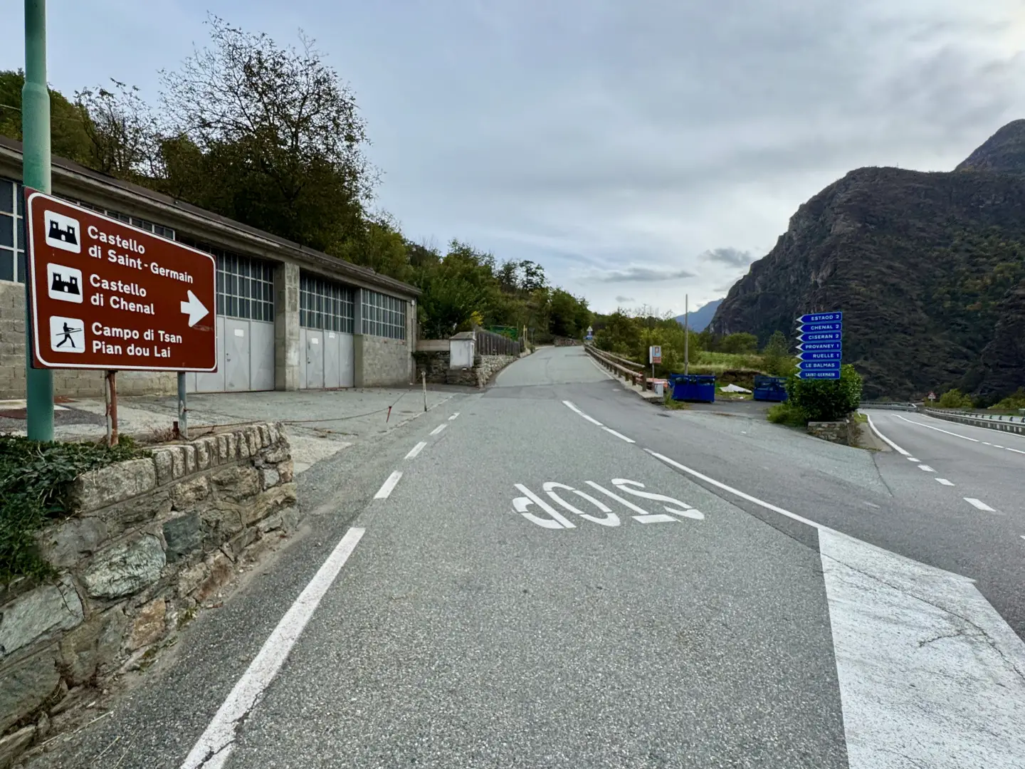
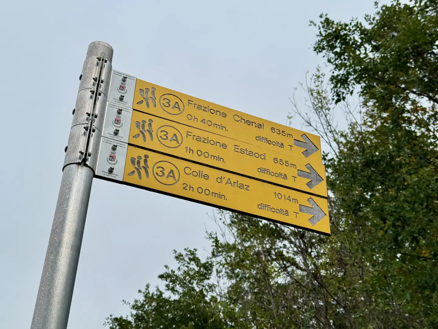
0h00' 0.00km From the car park, go up the road for a short distance to the hotel. Cross the main road at the zebra crossing and take the municipal road to Estaod. After a few metres, there is a signpost on the left-hand side.
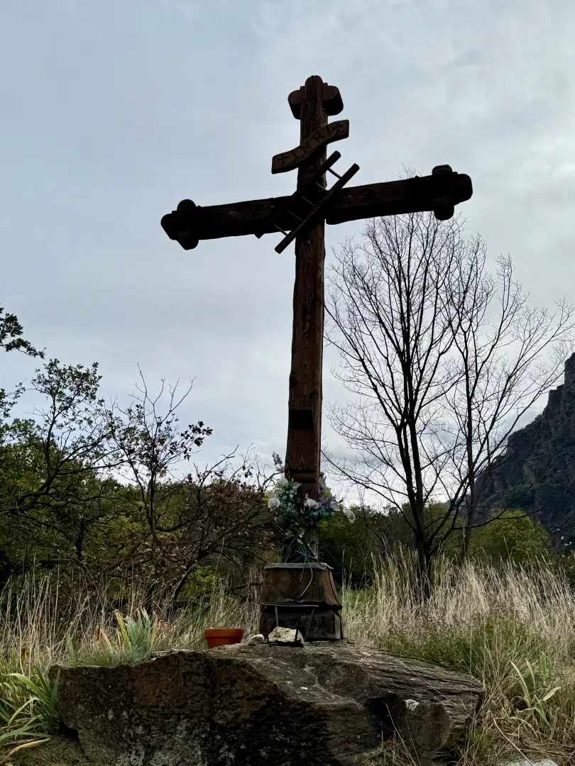
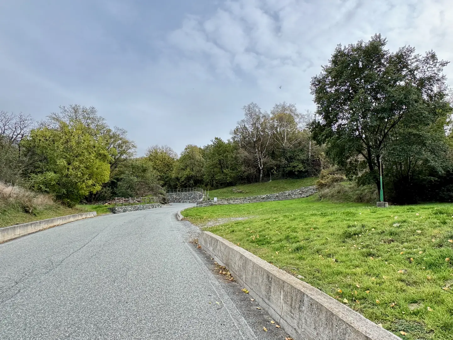
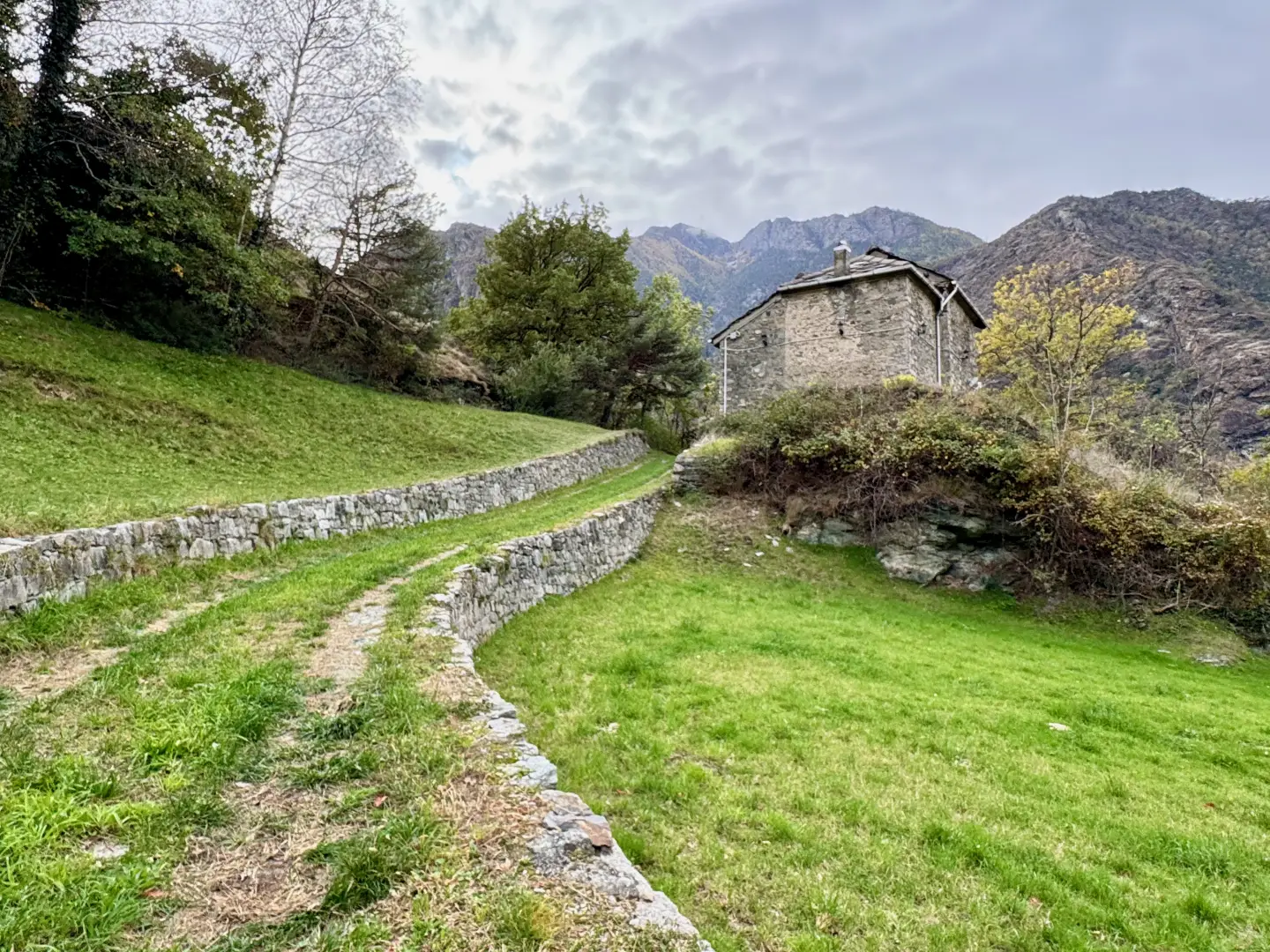
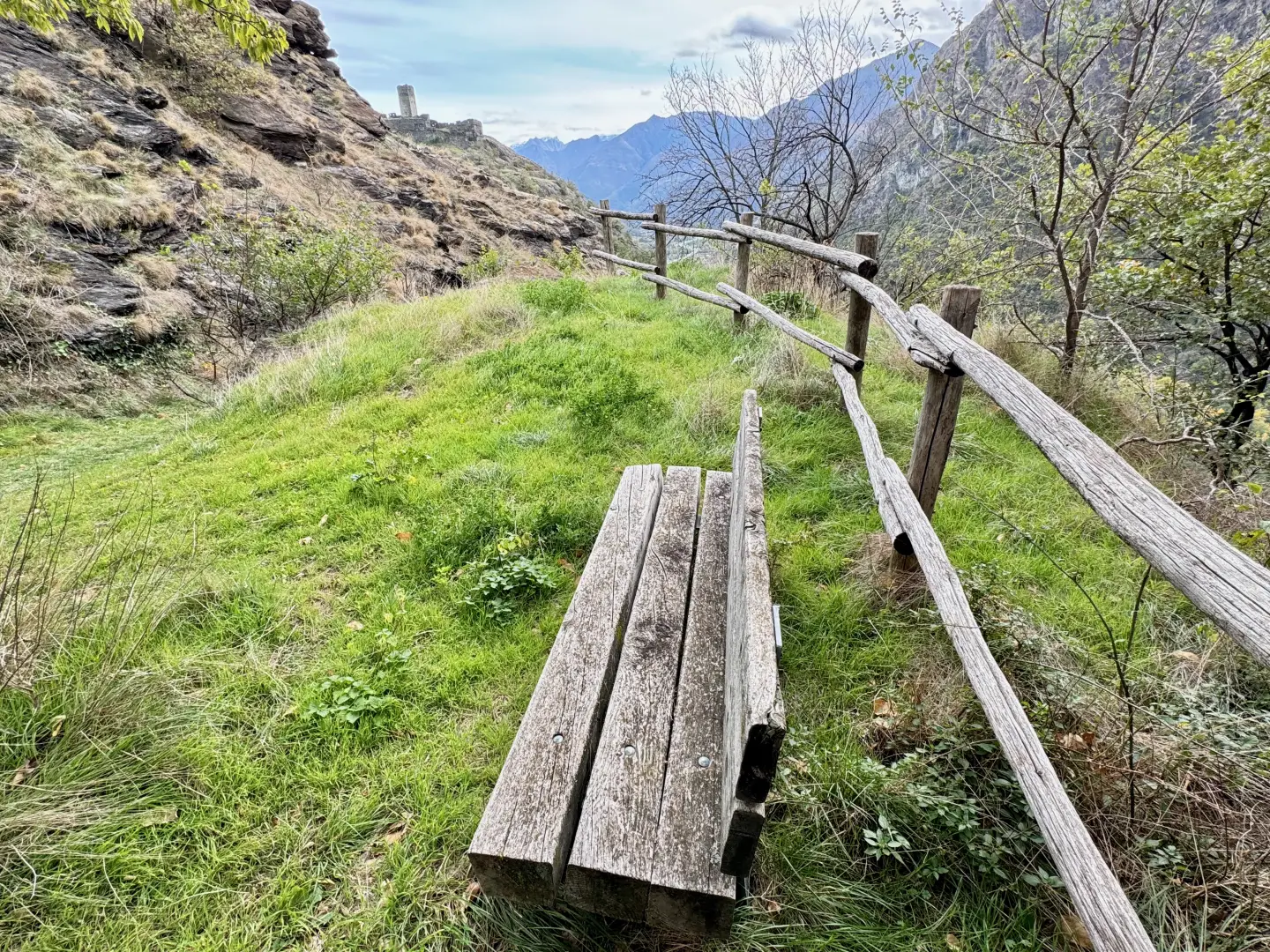
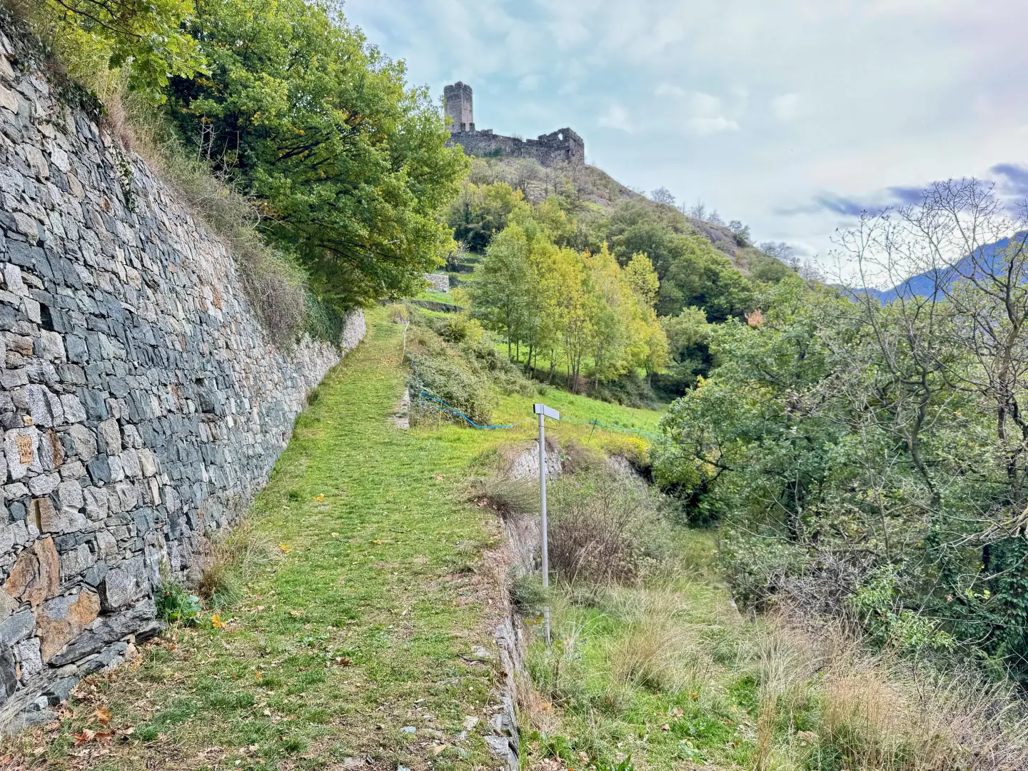
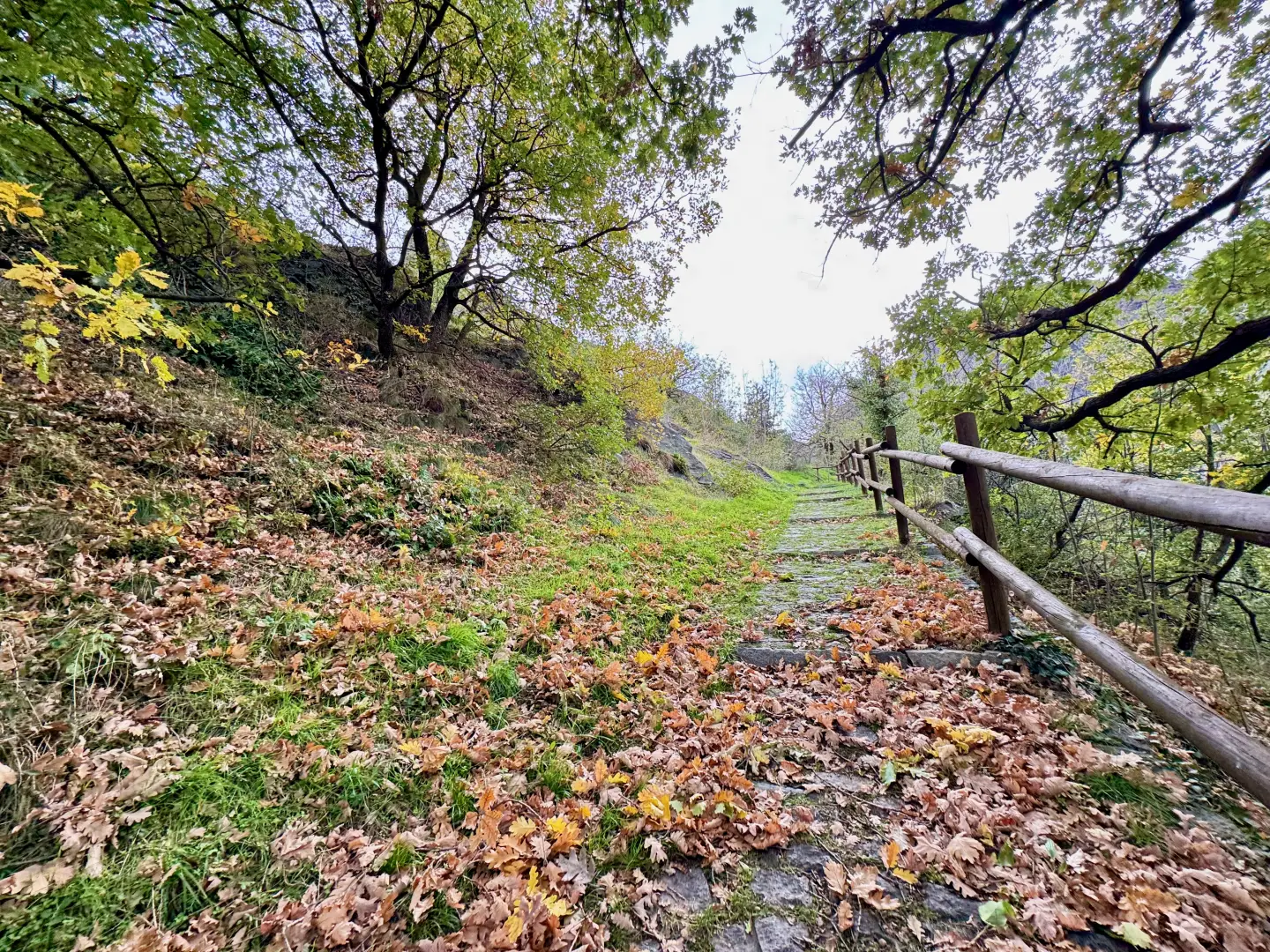
0h02' 0.07km Disregard the path and continue along the municipal road, keeping to the right-hand edge. After passing a wooden cross, the road crosses a short stretch of woodland and, after a few bends, comes to a fork in the road. Turn right in the direction of a house; after a short ascent, the road bends to the left and begins its descent on the ancient Via delle Gallie, which offers extensive views of the nearby castle and the 'Mongiovetta gorge. The rather rapid descent ends at a marker indicating the path to the cliffs known as the Rochers de Saint-Germain.
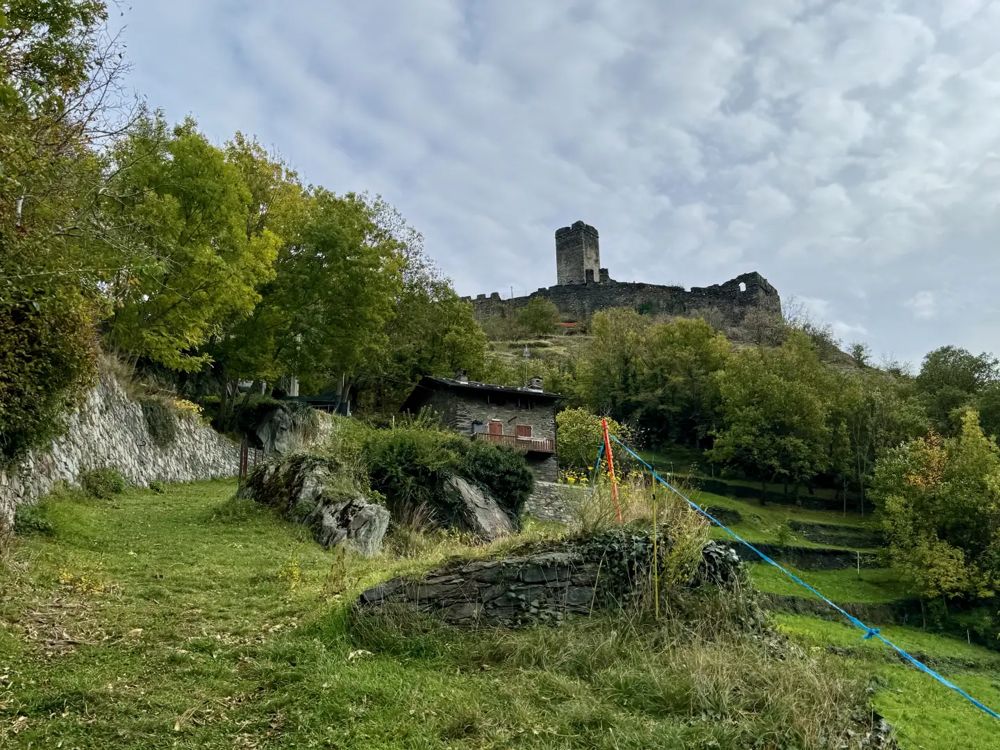
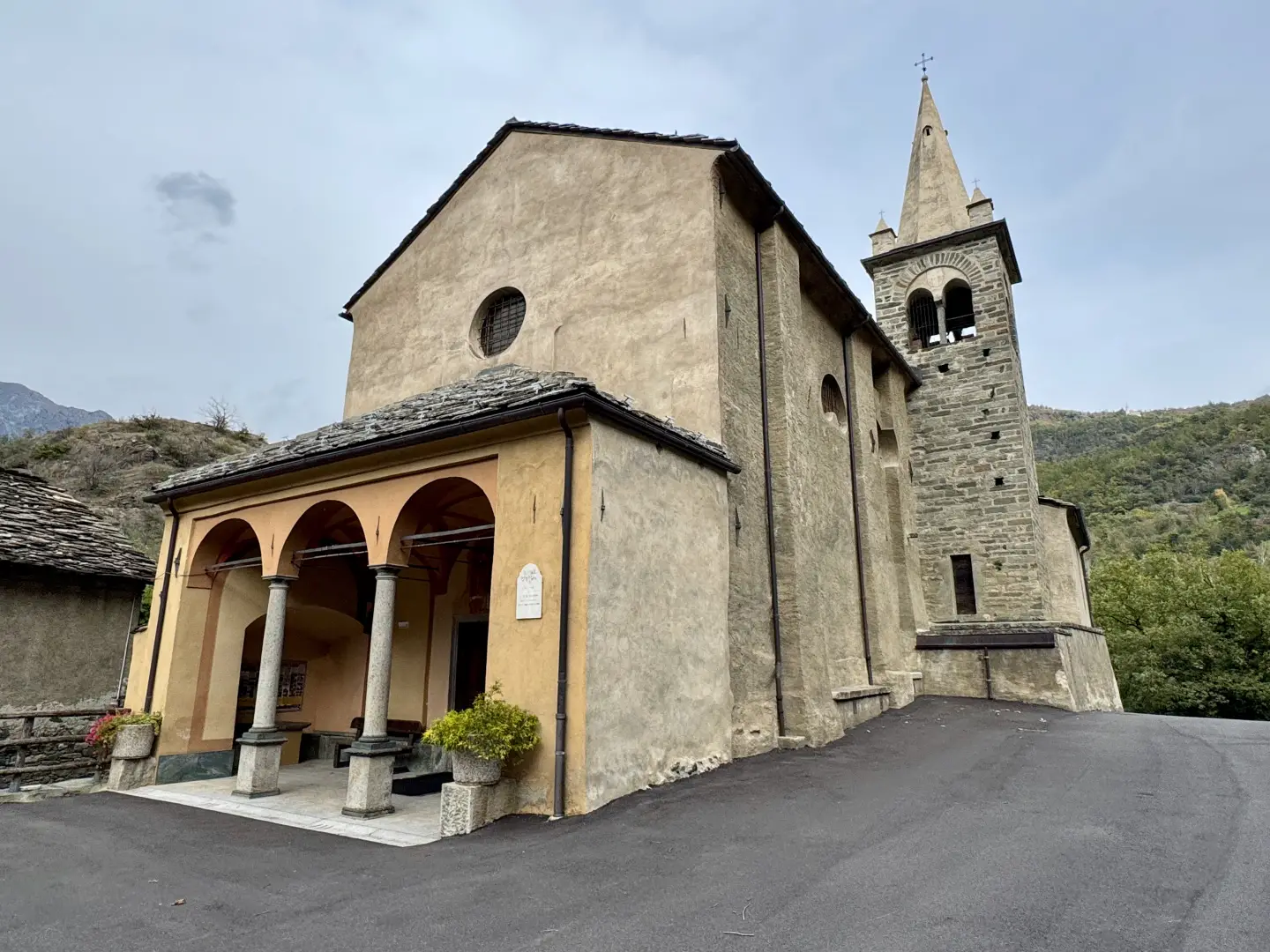
0h15' 0.77km Turn left and ascend the mule track until it skirts a dwelling and, shortly afterwards, leads to the car park of the church of Saint-Germaim.
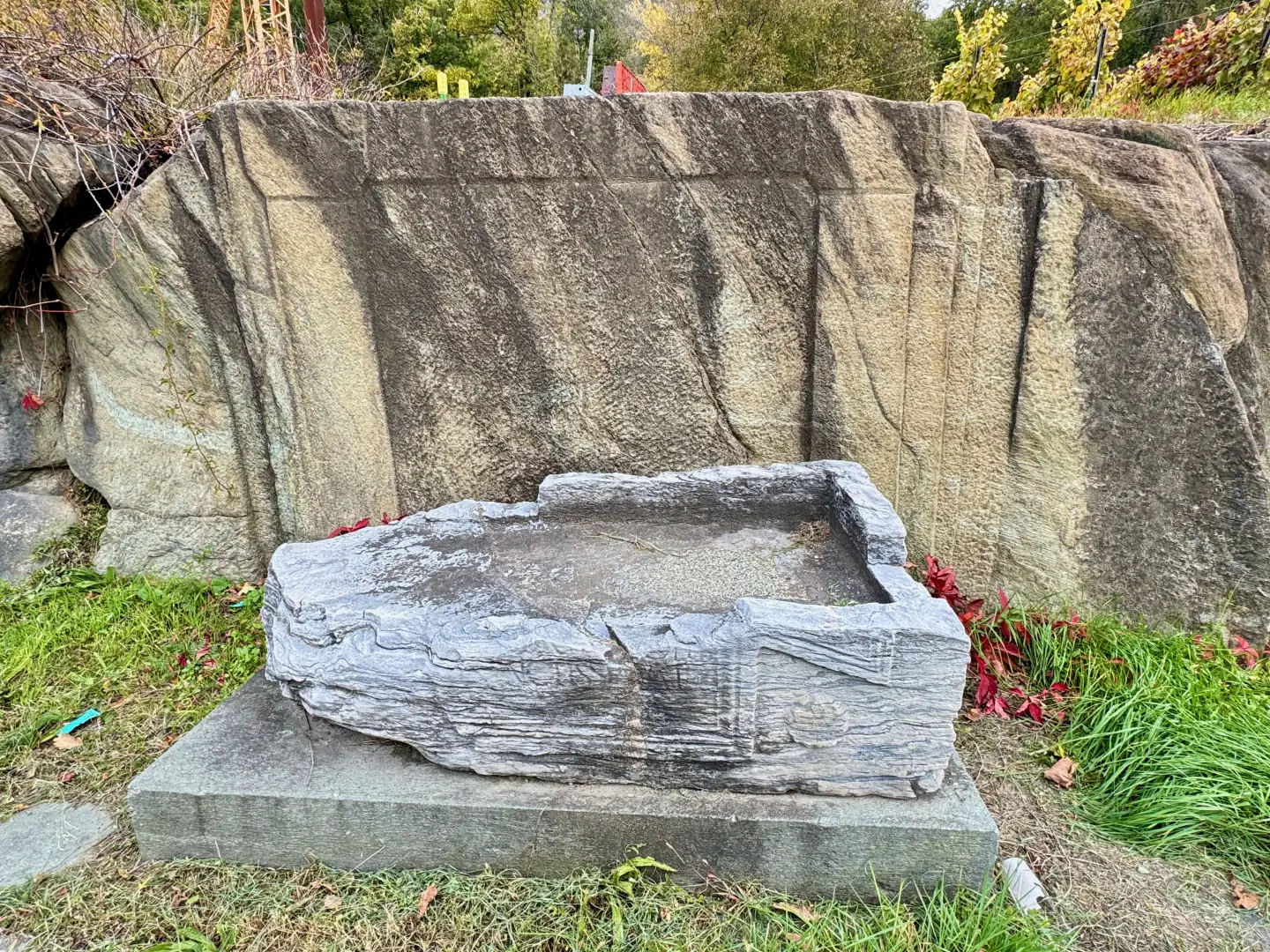
0h20' 0.91km Near a fountain, the path to the castle begins. Climb up the rocky ridge on a comfortable path until you reach the castle site near the castle wall (602m) 0h25' 1.04km .
Return along the same route as the ascent, retracing the main path downhill to the starting point 0h20' 1.04km .
Points of interest
Collections
Photo gallery
Comments (0)
Sign in to leave a comment