Nus Castle, from the Bourg de Nus


Edited by:
Massimo Martini
Updated at: 15/05/2026
Access
Introduction
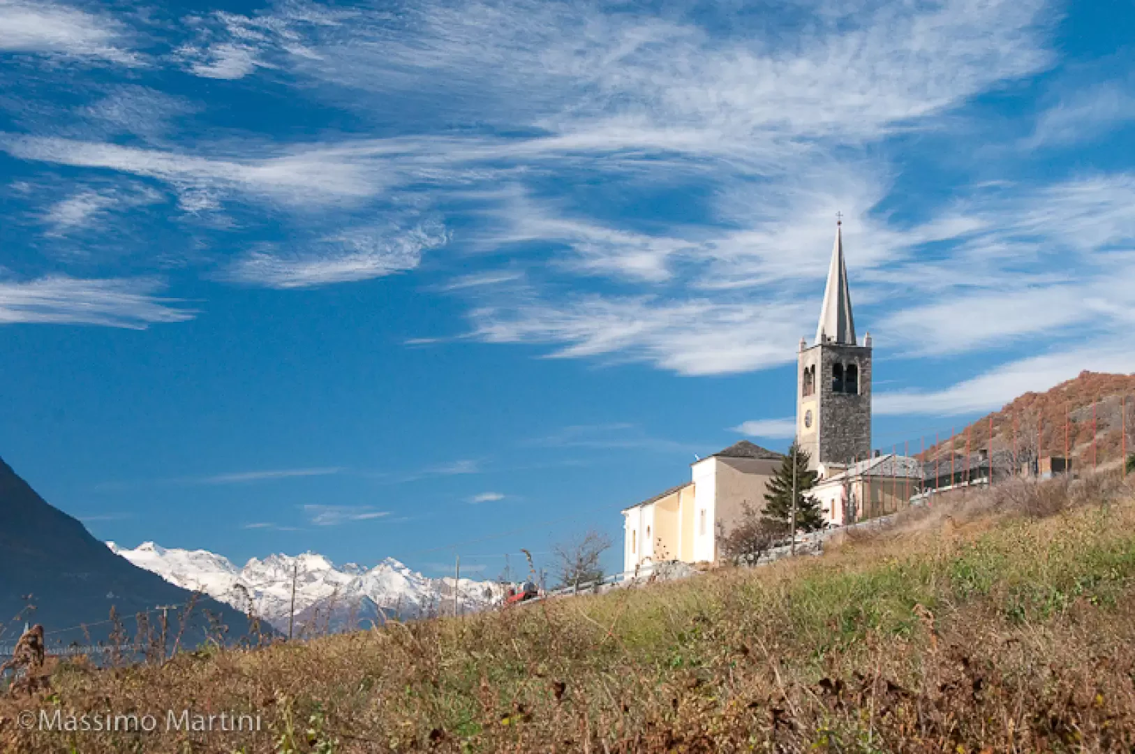
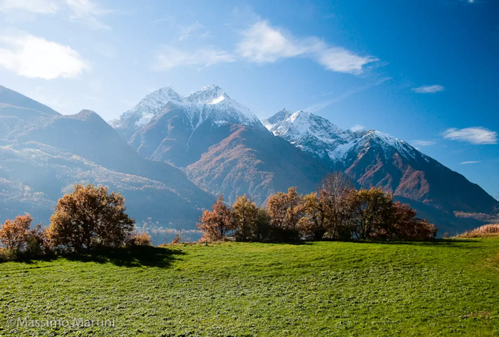
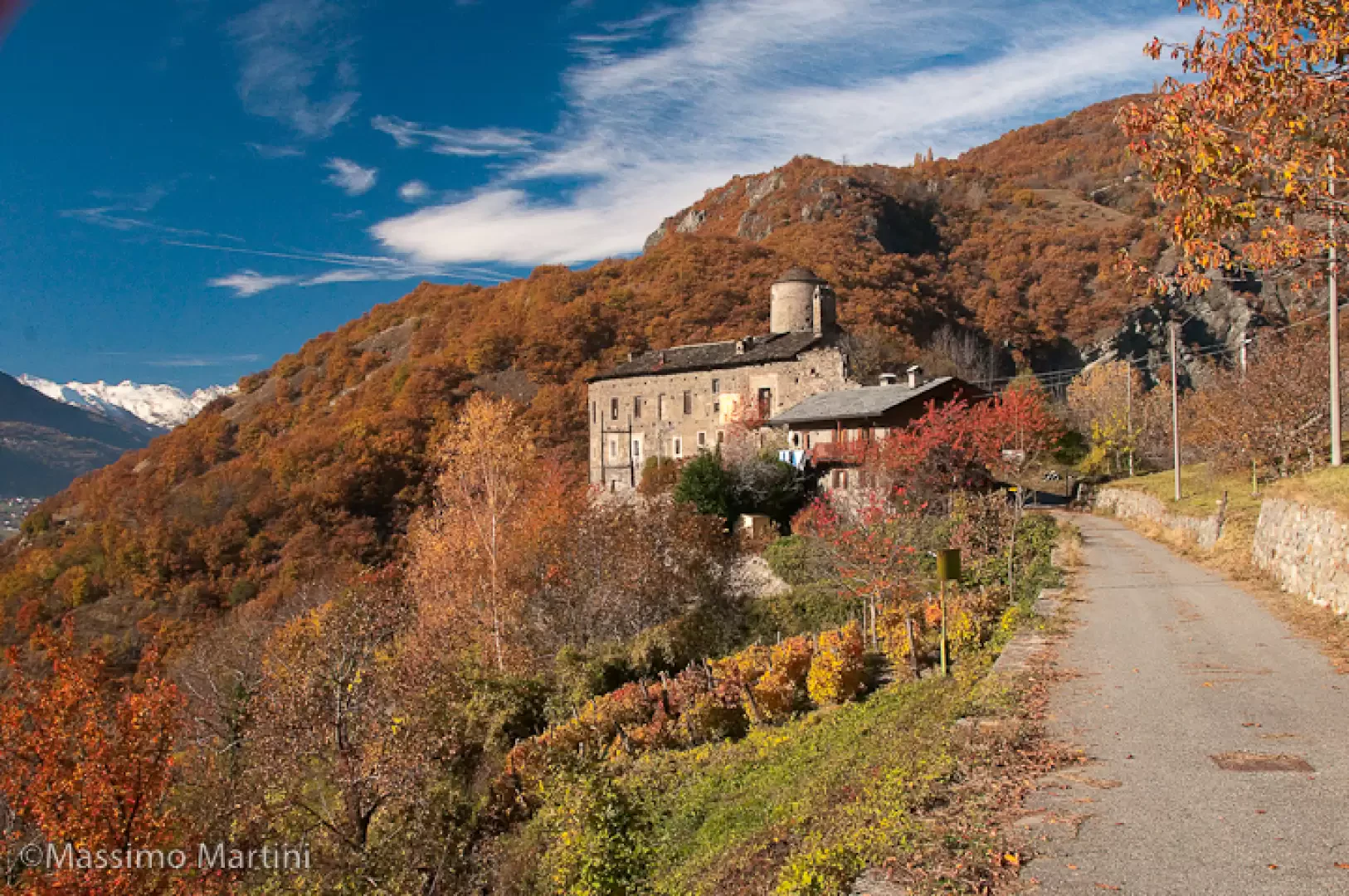
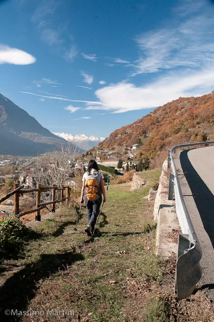
Short walk on the heights of Nus. This circular itinerary takes us to discover the Castle of Nus, a 14th-century building perched on the orographic left of the Saint-Barthélemy stream. The itinerary is recommended in the autumn period when the coolness and colours of nature make it very attractive to walk through medium-altitude terrain.
Description
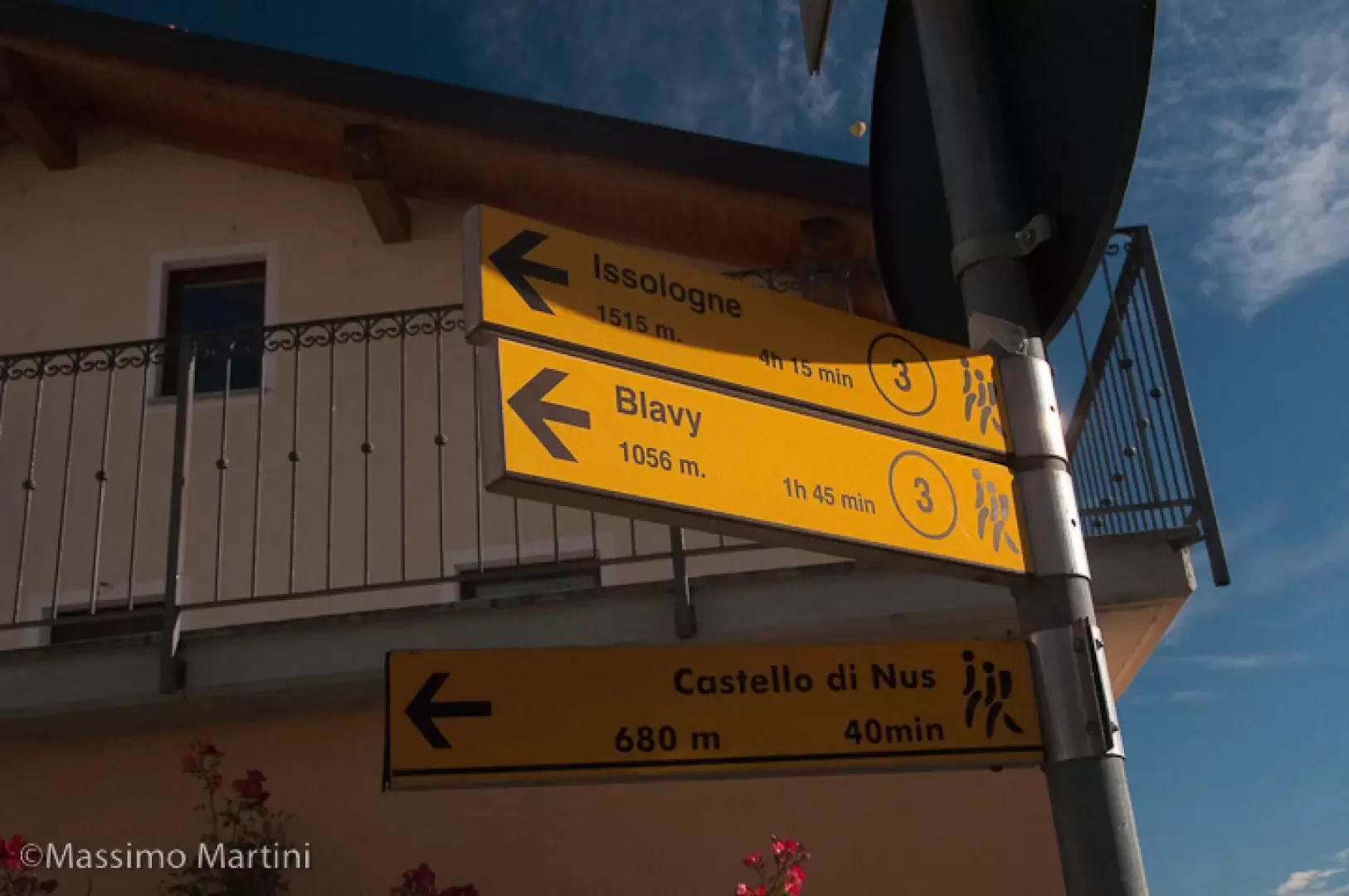
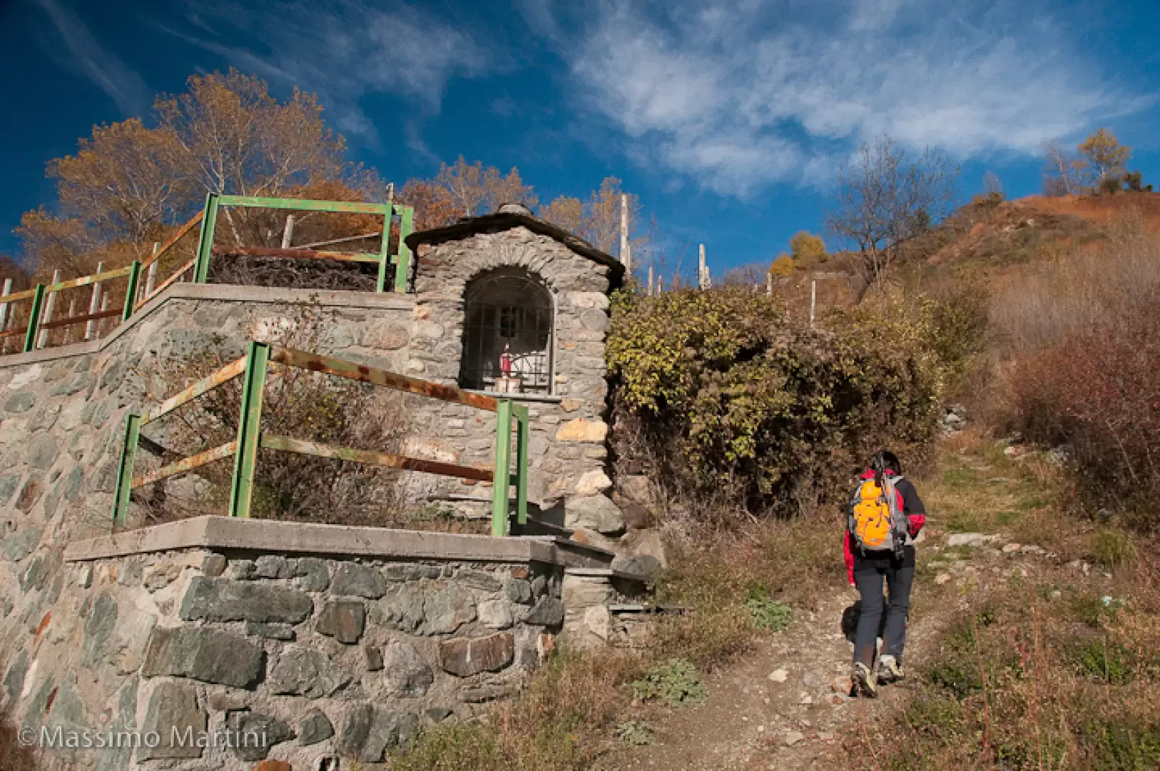
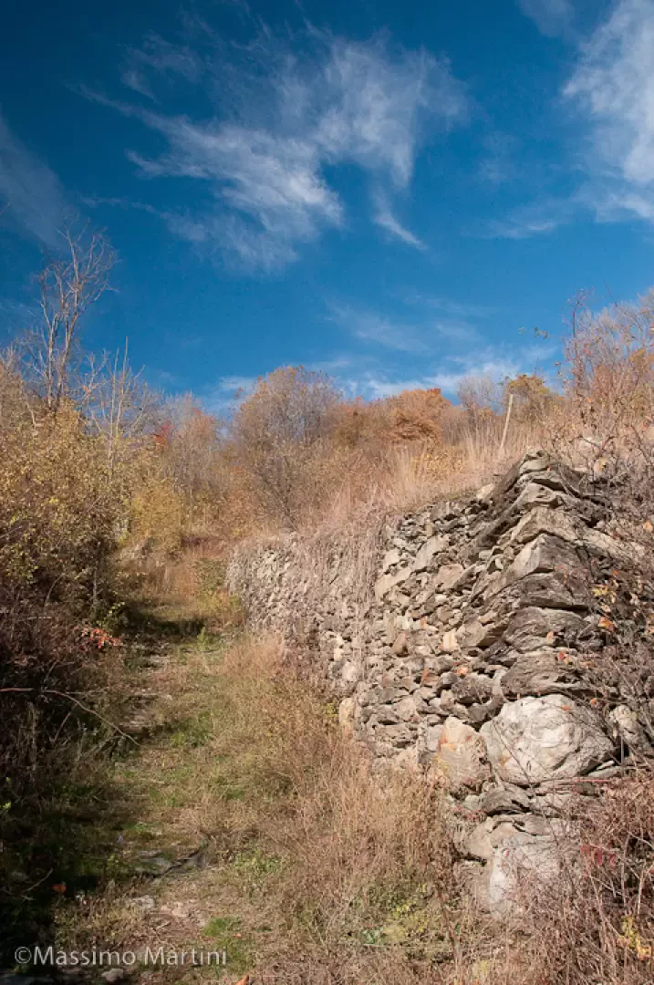
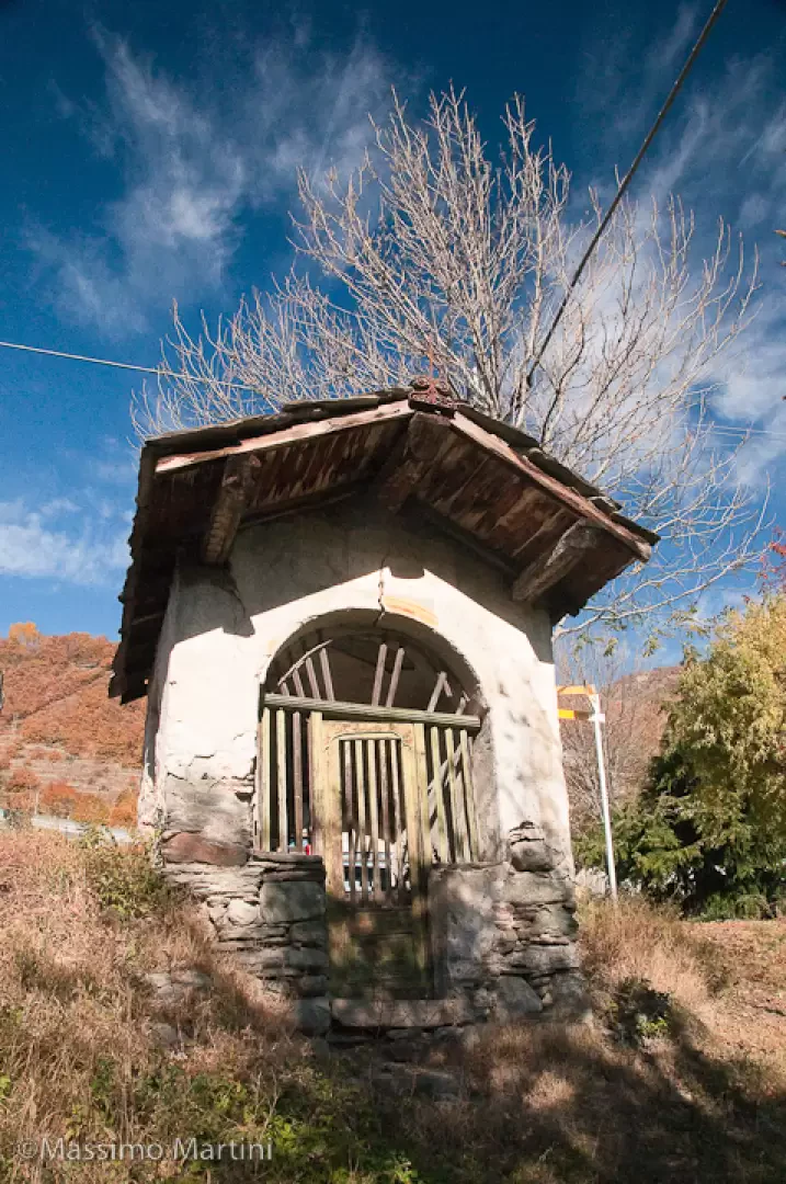
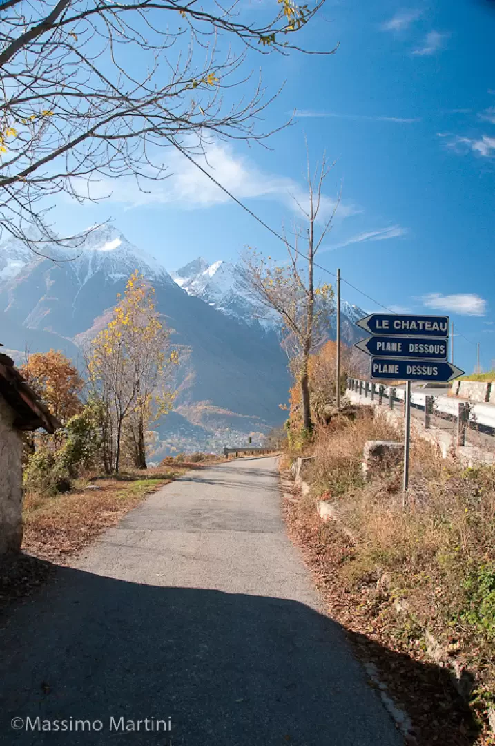
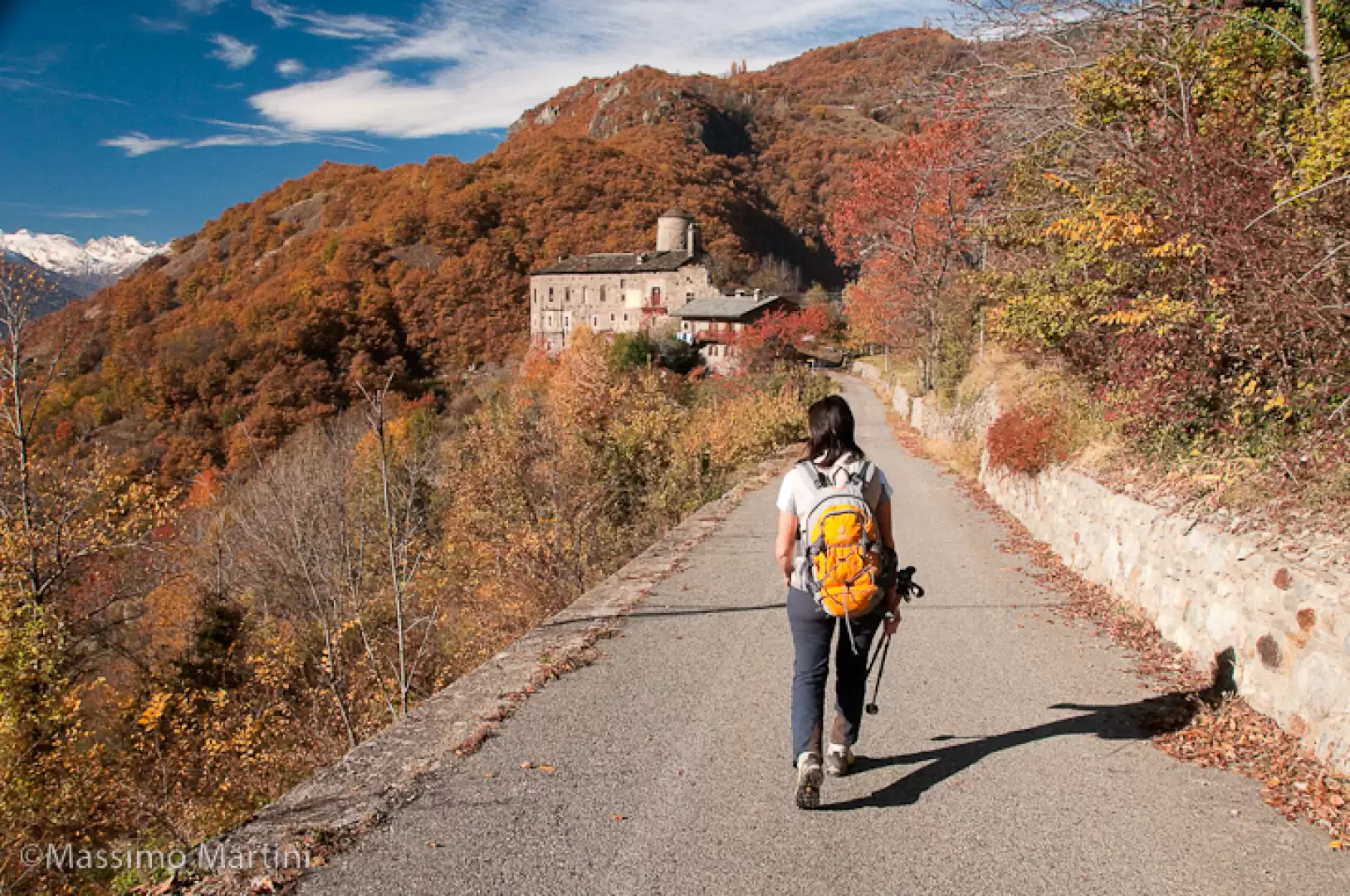
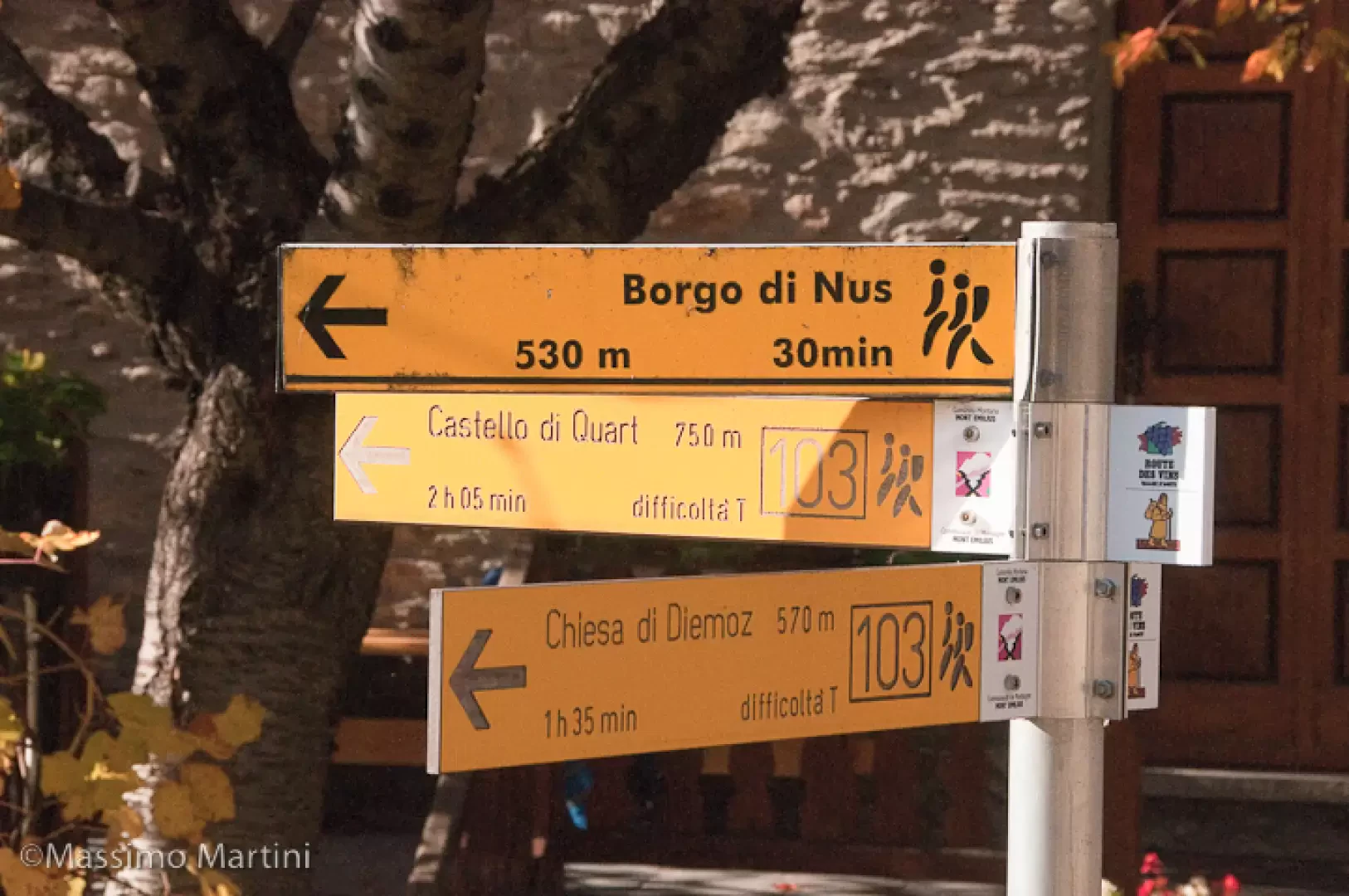
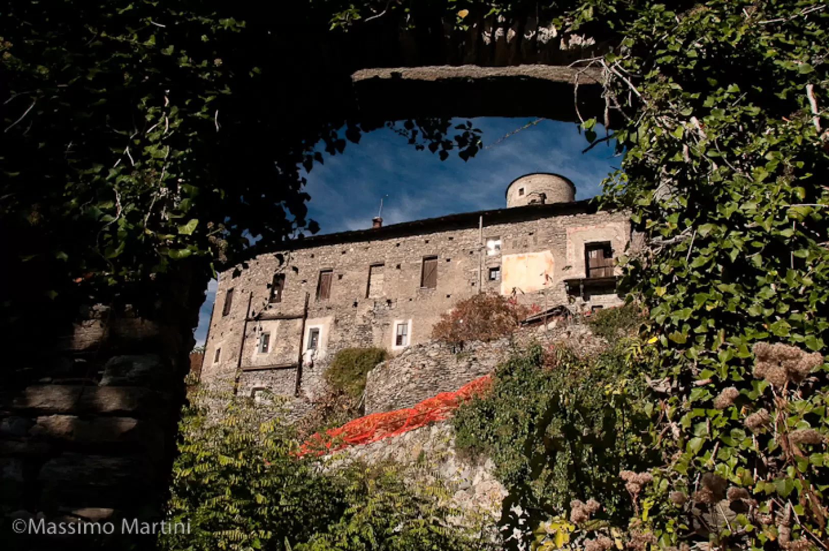
Take Via Corrado Gex, following the indications on the signposts until you come to a road junction: ignore the road on the left and continue straight ahead until you come to the beginning of a mule track. Climb up the short stretch of mule track between the vineyards until you come to a dirt track: cross it and go over a second stretch of mule track to join the regional road to Lignan. Cross the road onto a track that, turning to the left, meets a votive shrine. Take the steep mule track to the right that climbs up the arid slope; this section of the trail is part of path [103], the section of the Via Francigena in the Aosta valley also known as the Chemin des Vignobles. Following the mule track, you reach a wooded area, oak trees, and shortly afterwards a characteristic votive shrine. Following the signs, turn left onto a small tarmac road that leads slightly downhill to Prale dessous (). Continue straight ahead, passing the houses of the hamlet and, after a slight bend to the right, go down the small road with the castle now in sight. In a short time you will reach the Castle of Nus (683m, 0h40'), a fine 14th century building, the interior of which cannot be visited as it is private.
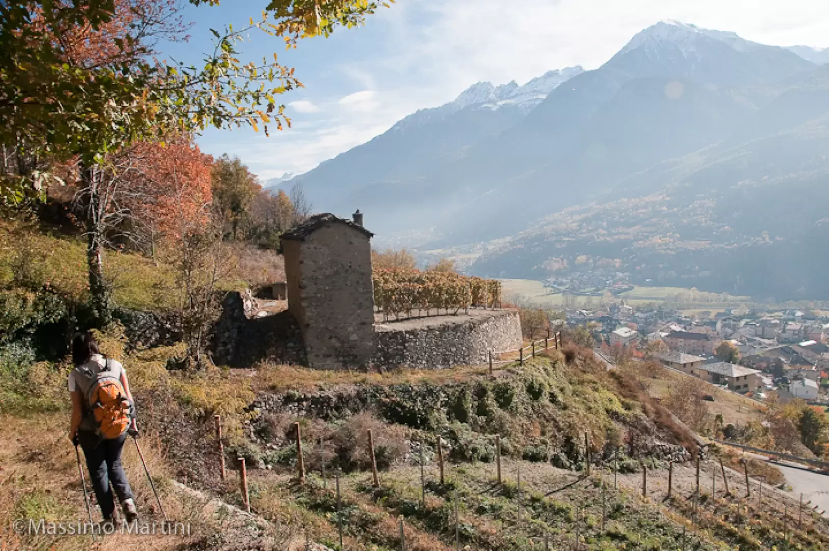
Following the signs on the signpost, take a mule track to the left that descends alongside the castle walls; with a few bends you will lose height while a pleasant panorama of the town of Nus opens up before you. When you reach the tarmac road, cross it to resume the descent on the mule track that rejoins it shortly below. Once again, take the mule track that descends between the vineyards and reaches the road to Mazod near the bridge over the Saint-Barthélemy stream. Reaching the road, turn left and descend towards the centre of Nus along Via Corrado Gex and, turning right, Via Saint-Barthélemy. When you reach the main street, turn left and walk through the historic centre until you reach the starting point of the route.
Riferimenti Bibliografici
- Castelli valdostani - Andrea Zanotto -
Photo gallery

Comments (0)
Sign in to leave a comment