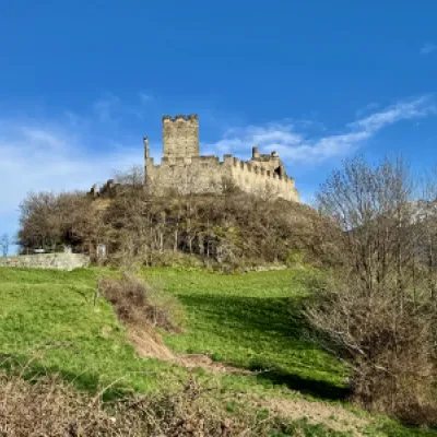
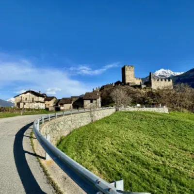
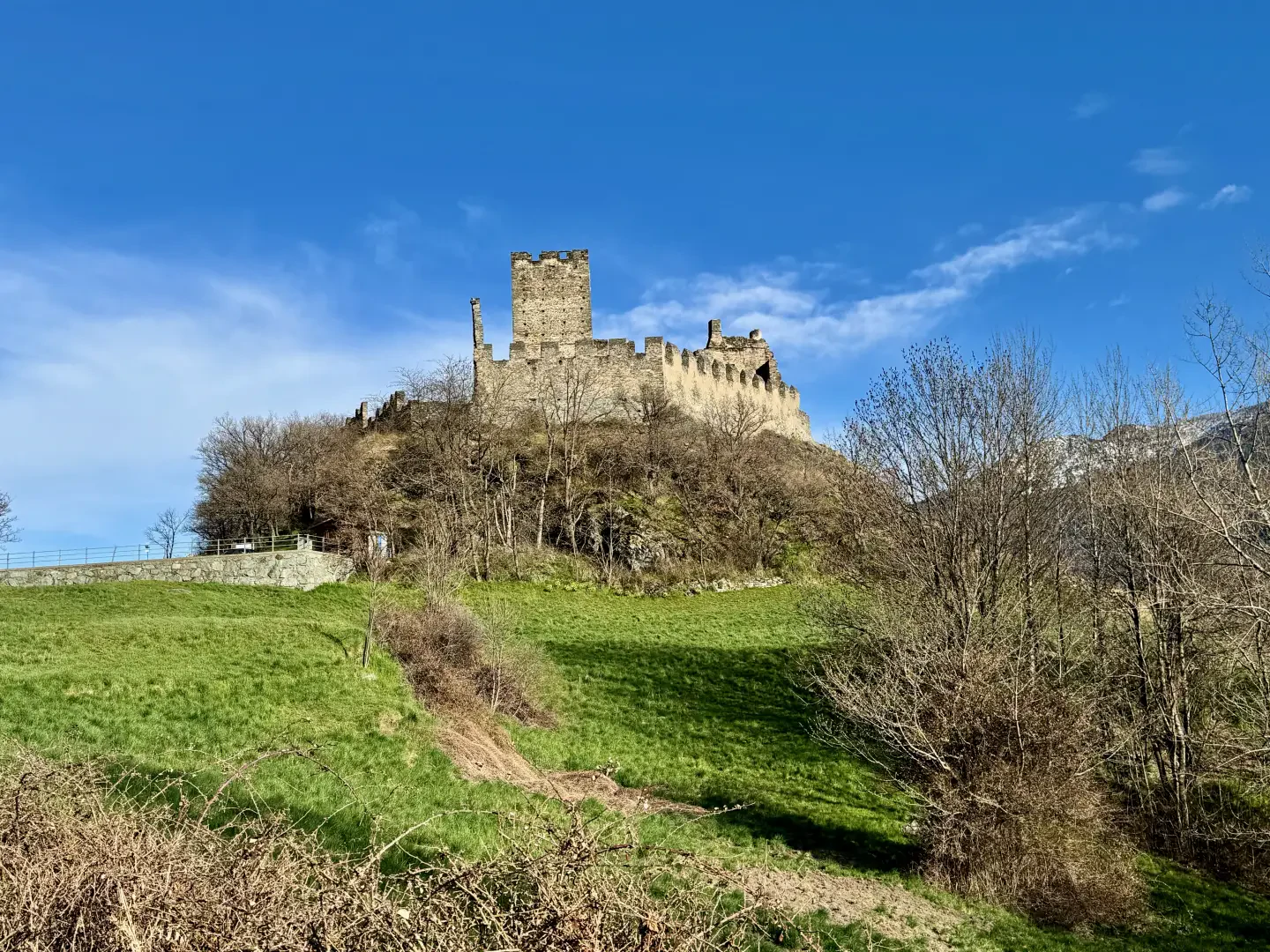
Castle of Cly, from the Bourg de Chambave
Access
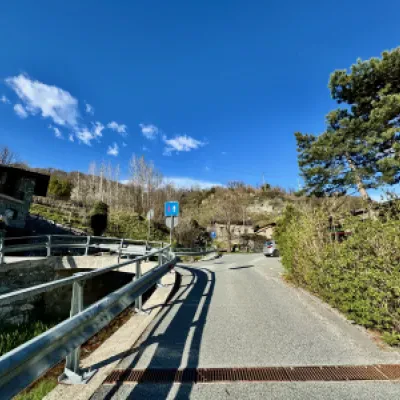
Leave the motorway junction at Châtillon, turn left and continue for approximately 300 metres to the roundabout. At the roundabout, take the third exit and take Via Emile Chanoux. Drive along Via Emile Chanoux for 600 metres, crossing the historic centre of Châtillon, then turn slightly right onto Via Menabreaz. Continue for 450 metres to the roundabout with the 'Matterhorn' monument in the centre and take the third exit to join the state road in the direction of Aosta. Follow the state road for 4.1 kilometres until you reach an elevated roundabout; take the first exit and, after 100 metres, turn left onto Via del Cimitero. After a short descent, go up the road until you reach the large free car park 🅿️.
Distance and travel time
🕒Travel time: 9 minutes
📏 Distance: 6.3 km
GPS navigation
📍 How to get there with Google Maps
📍 How to get there with Apple Maps
ℹ️ Important note
The information provided was checked on the date of the route survey. Before departure, it is advisable to check for any changes to the route. For up-to-date and detailed directions, we recommend the use of Google Maps or Apple Maps.
Introduction
Between neat rows of vines and sunny slopes sloping down towards the Dora Baltea, the path to the Castle of Cly offers an immersive experience of nature, history and Valdostan food and wine traditions. The scents of the Muscat of Chambave, the golden hues of autumn and views of snow-capped peaks create an enchanting atmosphere along the entire route. The itinerary, known as Le Chemin du Muscat, runs between the communes of Chambave and Saint-Denis, in a hilly context characterised by a microclimate particularly favourable to viticulture. Crossing the historic vineyards from which the famous Muscat of Chambave originates, the hike culminates at the evocative Castle of Cly, one of the oldest in Valle d'Aosta. The trail is not technically difficult and is also suitable for families and occasional walkers. With its short length and moderate altitude difference, it is perfectly suited for an afternoon hike or a weekend outing, especially in mid-season. In spring and autumn, in fact, the vivid colours of the vegetation and the workings in the vineyards offer a unique spectacle.
In addition to the scenic beauty, this route fascinates with its historical and cultural value. Although the Castle of Cly cannot currently be visited inside due to restoration work, it impresses with the grandeur of its walls and the charm of its medieval origins. The village of Chambave, with historic buildings such as Casa Guidon and the 12th-century bell tower, further enriches the experience, offering an authentic glimpse of Aosta Valley history.
Description
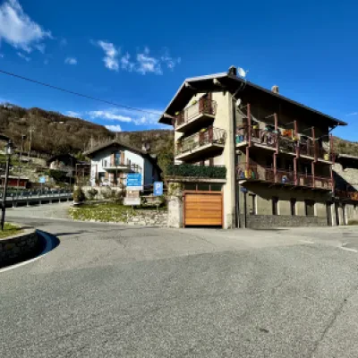
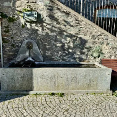
0h00' 0.00km From the car park, walk up Via del Cimitero until you reach Piazza Roncas and the start of Via Chanoux. Slightly to the right is the Rouletta fountain, a good place to replenish your water supply 💧.
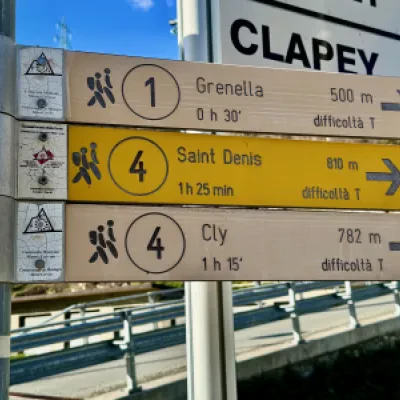
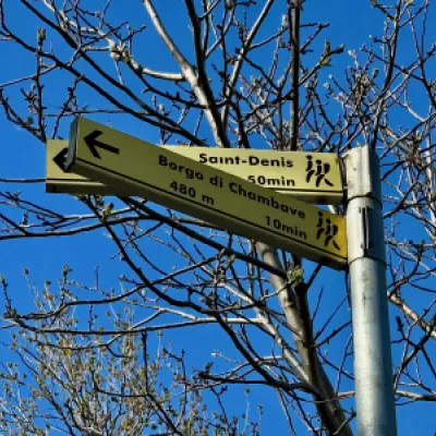
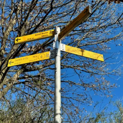
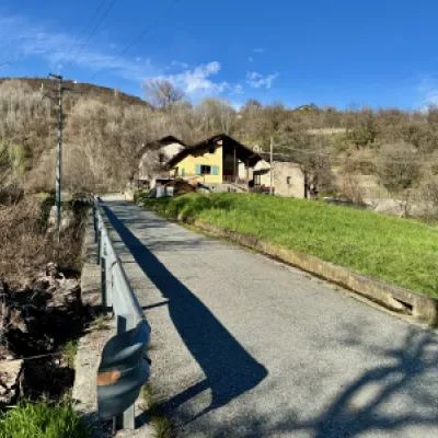
0h02' 0.12km Turn slightly to the left until you reach the marker post indicating the start of the path to Cly. Follow the signs for Saint-Denis by taking Rue de Cly, which begins to climb alongside the Torrent de Chambave until it reaches a small concrete bridge.
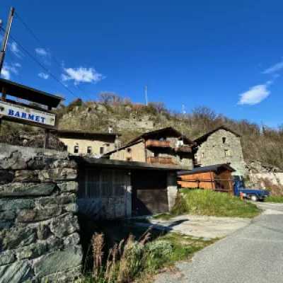
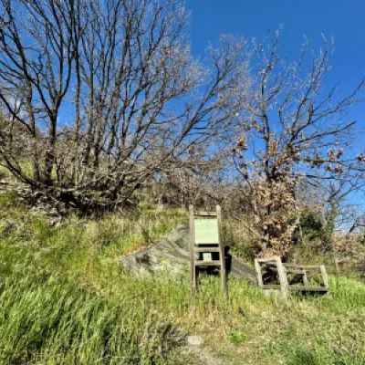
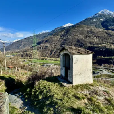
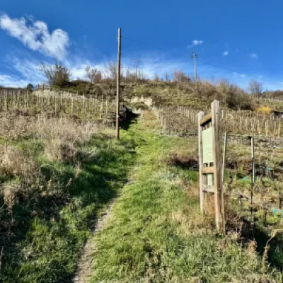
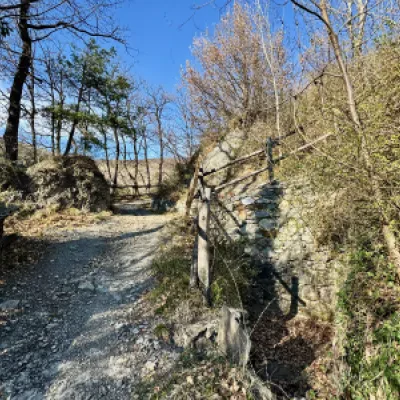
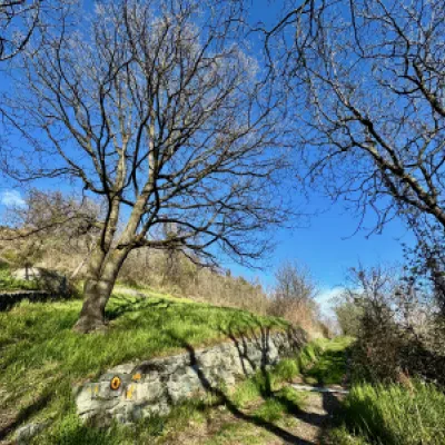
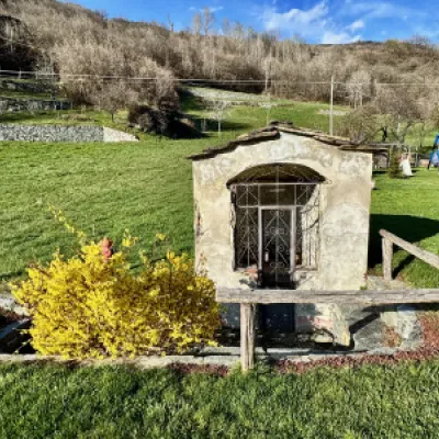
0h05' 0.21km Neglect the path for Grenella and turn right to soon reach the hamlet of Barmet. Having found a yellow marker on the asphalt, turn left to enter the small hamlet. After a bend to the right, the path begins to climb up the ridge on a wide paved road. After a few minutes, you will encounter the first of the information panels that will accompany you along the entire route; next to the panels are comfortable benches from which to enjoy the view. Continuing between some hairpin bends, we reach a small cave (barma). The path, flanked by impressive dry stone walls, finally leads onto the asphalt road to Clapey (560m), which is abandoned at a high-tension pylon, turning left. From here, one begins to climb first a small road, then, turning right, a path crossing the Muscat de Chambave vines, until reaching a small oratory, an ancient testimony of popular devotion. Continuing the ascent, one enters a wooded scrub of downy oaks (Quercus pubescens), until reaching a small waterfall: this is the runoff water of the Ru Chandianaz, taken from the valley of the Matterhorn and used to irrigate the steep slopes of Chambave and Saint-Denis. A little further on is the start of the path , which runs alongside the ru just mentioned.
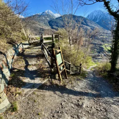
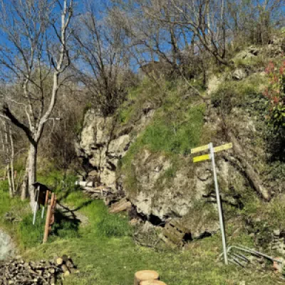
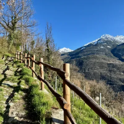
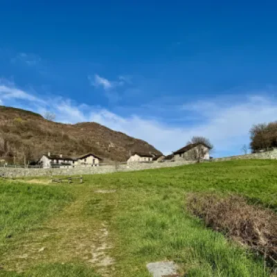
0h25' 0.71km Neglect this path, which branches off to the right, and continue straight on until you reach a small tarmac road again, just after the village of Cuignon (678m), 💧. At the level of the square in front of the village, you will come across another marker post, indicating the path to the right: take it, pass a hairpin bend and climb up a section bordered by a wooden railing without too much slope, with a splendid panoramic view of Mont Barbeston, the Cima Nera and the Pointe Charmontane. Cross the pastures below the castle until you reach a small farm road: turn right and follow it on a slight incline until the castle appears. After letting yourself be carried away by the suggestive view of the manor, at a signpost and a votive shrine, the little road joins an asphalt road.
0h55' 1.61km Turn right at a signpost and in a few minutes you reach the destination of our route (782m) 1h00' 1.70km .
The return follows the same route as the outward journey, retracing the path through woodland and meadows back to the starting point at Bourg de Chambave 0h30' 1.70km .
Points of Interest
- Castle of Cly
- Barmet
- Cuignon
- Chambave
- Saint-Denis
Collections
- hikes departing from Bourg de Chambave - on the map
- hiking in Chambave - on the map
- hiking in Saint-Denis - on the map
- hikes to the cultural heritage of the middle Aosta Valley - on the map
- hiking to castles in the Aosta Valley - on the map
- hiking to the cultural heritage of the Aosta Valley - on the map
