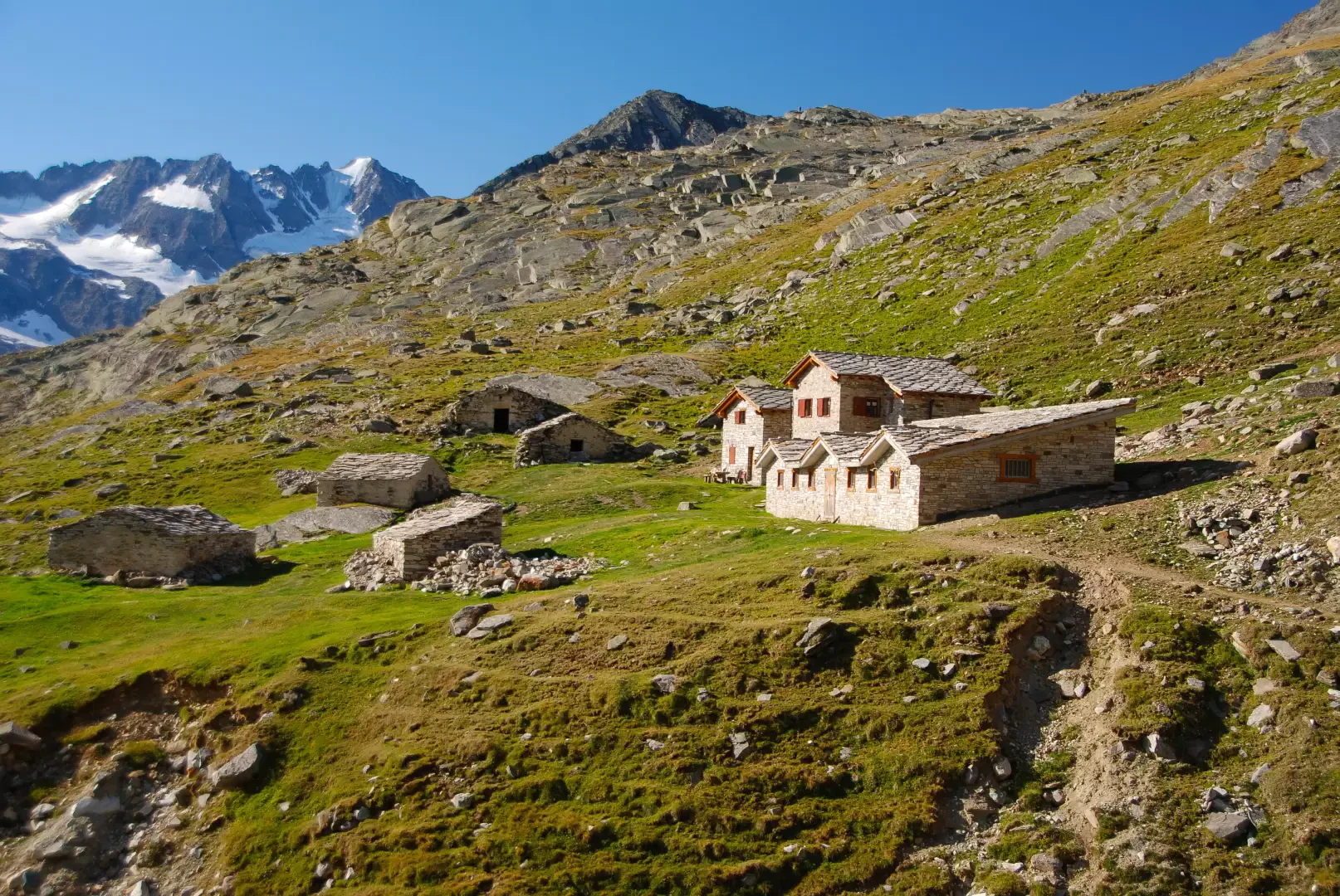
Herbetet cottages, from Valnontey

Edited by:
Massimo Martini
Updated at: 07/04/2026
Access
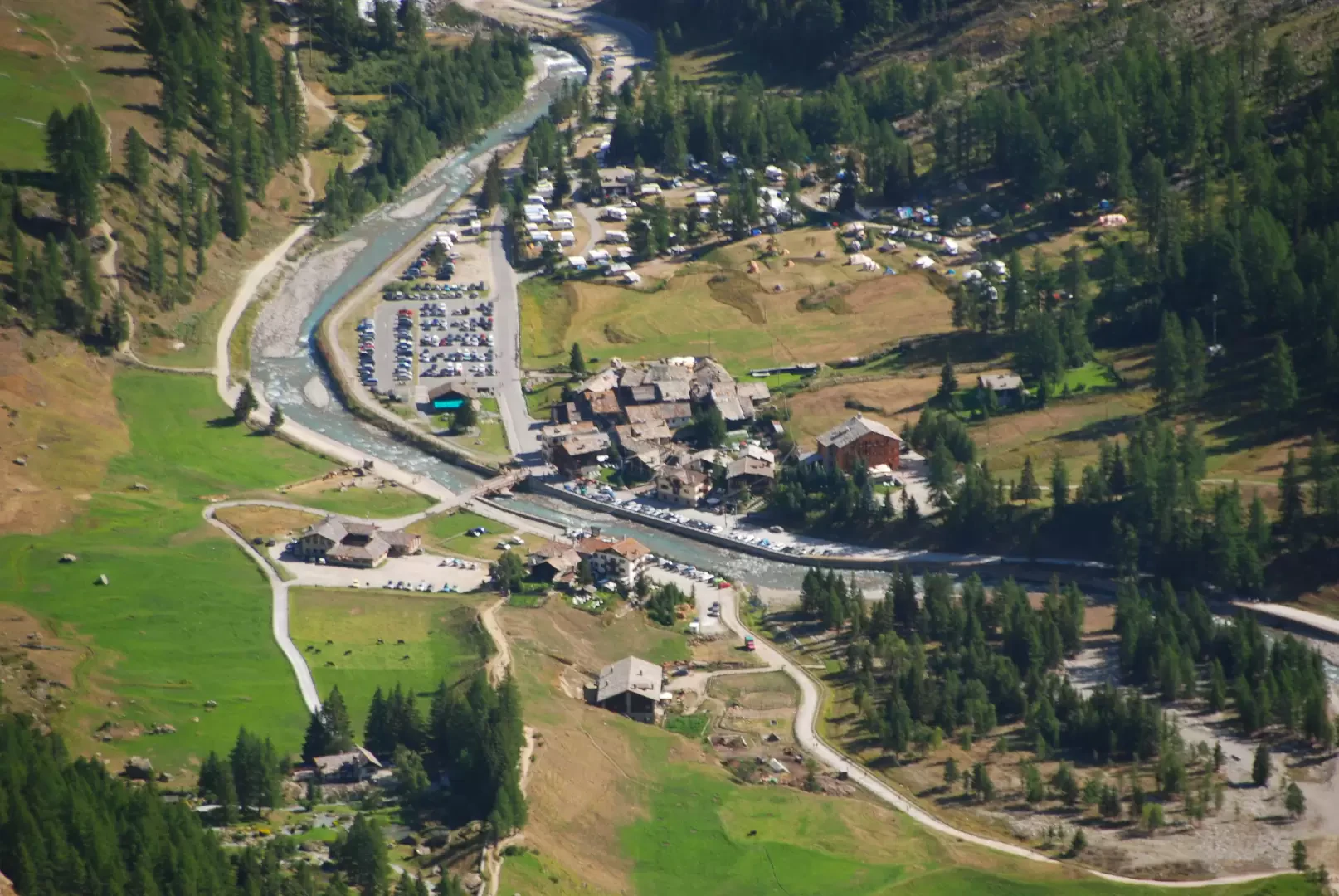
Leaving the motorway at the Aosta Ovest exit, turn right and take the Valle di Cogne. Pass through the village of Aymavilles and after 1.3 kilometres at a roundabout take the second exit. Go up the regional road for 19 kilometres passing through the villages of Vieyes, Epinel and Crétaz until you reach a roundabout: take the first exit onto Avenue G.F Cavagnet, to be followed for about 350 metres. Inside the village of Cogne turn right and take the small road that after about 2.7 kilometres reaches the village of Valnontey anticipated by the large car park 🅿️ to pay (from 8am to 8pm - 4€ full day) located on the right of the road.
[0h33'] - [23,3km]
* How to get there with GMAPS
* How to get there with Apple Maps
The information provided here has been verified at the date of the survey of the itinerary. Before setting off, you should make sure that no substantial changes have occurred on the route to the starting point. We therefore recommend the use of the satellite navigation apps provided by Google or Apple for up-to-date and detailed directions.
Introduction
Long but very satisfying hike. The proposed itinerary is one of the great classics of Valdostan hiking. There are some exposed passages supported by ropes-
.Description
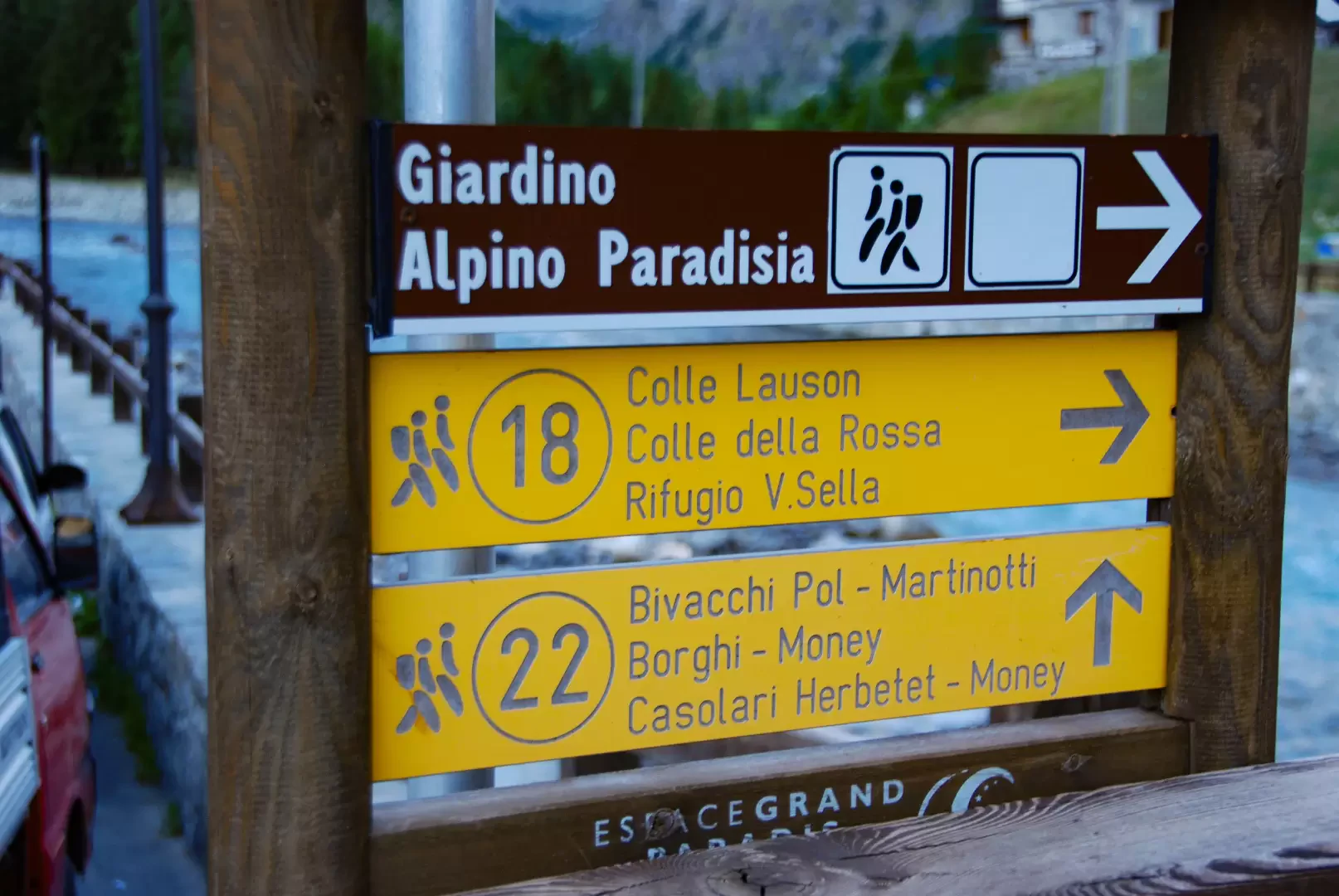
0h00' From the car park, briefly follow the tarmac road until you reach the village of Valnontey, where there is a fountain 💧, and the small bridge crossing the stream of the same name: turn right and continue along the tarmac road until you reach the Hotel "Lou Tsantelet" and the signs indicating the itineraries along the Alta Via .
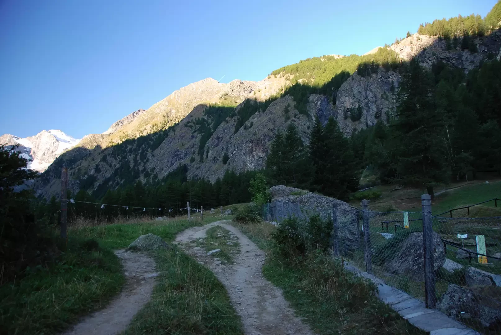
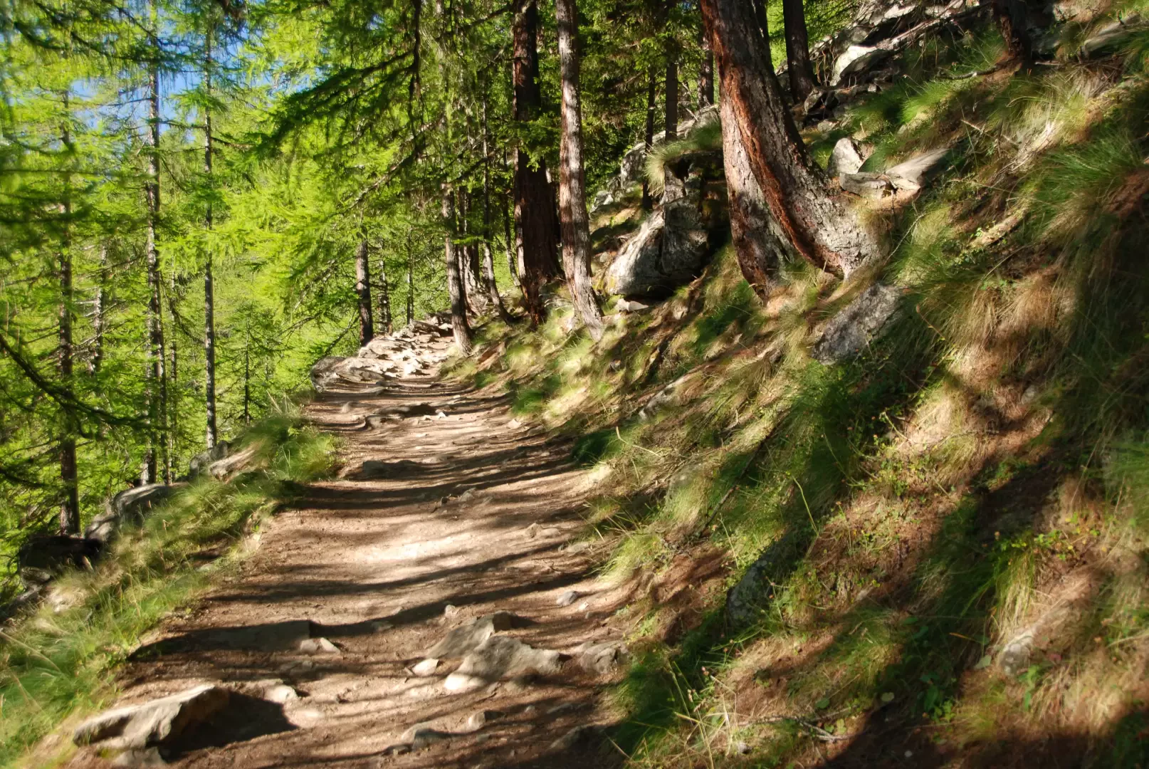
0h05' Take the easy path across the pastureland to the entrance to the "Paradisia" Alpine Garden. Skirt the south-eastern side of the garden, marching along the comfortable mule track and entering the larch grove. Slowly gain height, following the long spirals of the mule track, enjoying a few views of the Valnontey below until you reach a fork in the road.
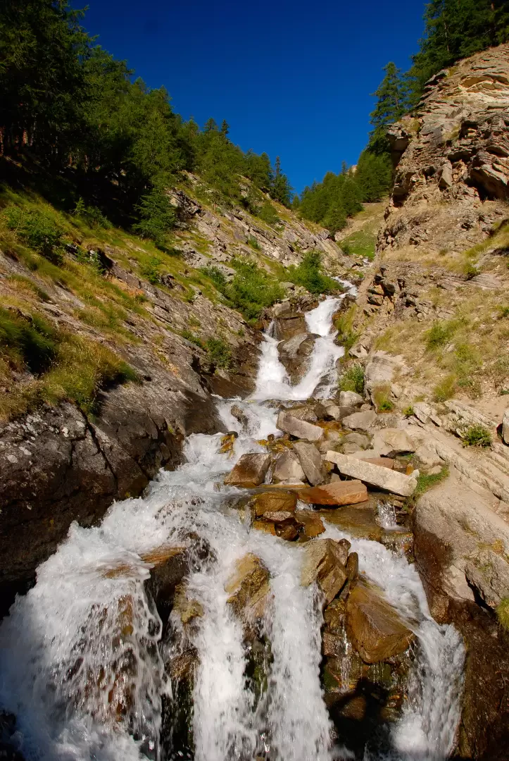
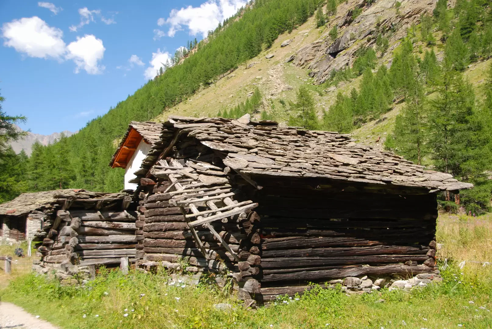
1h00' Neglect the continuation on the old royal road (closed to traffic due to the instability of the slope) and continue straight on until you come to a beautiful little stone bridge that allows you to cross the Torrent de Grand-Lauson. Now go up the orographic right-hand side of the valley and, after leaving the forest, continue on the meagre pastureland before the ruins of the small hamlet of Toules (2001m). After encountering a small drinking fountain 💧, continue the progression following the twists and turns of the path that quickly lead to the southern edge of Pascieux (2224m).
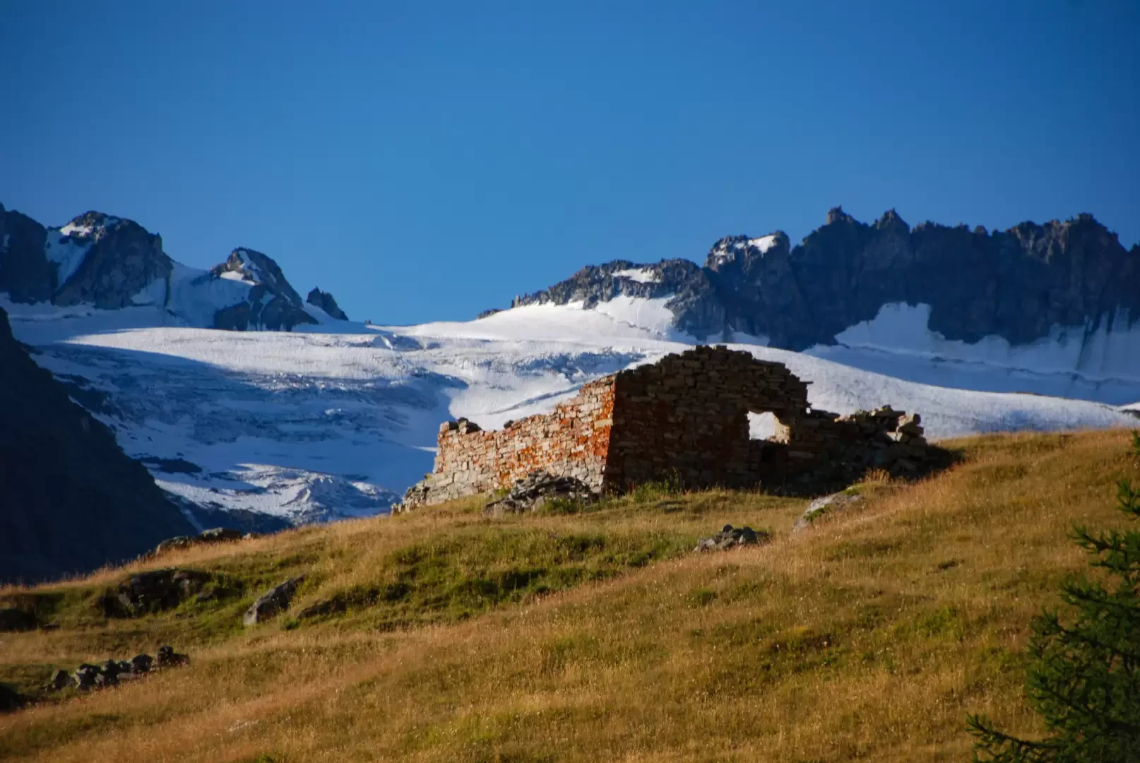
1h15' Climb the slope following the sparse larch forest until you enter the surrounding pastureland again and the view opens up to the not far away ruins of Petit Loson and the glaciers of Grand Croux and the Tribulation. The path veers to the right and after passing a section with steps, descends towards the Torrent de Grand-Lauson impluvium.
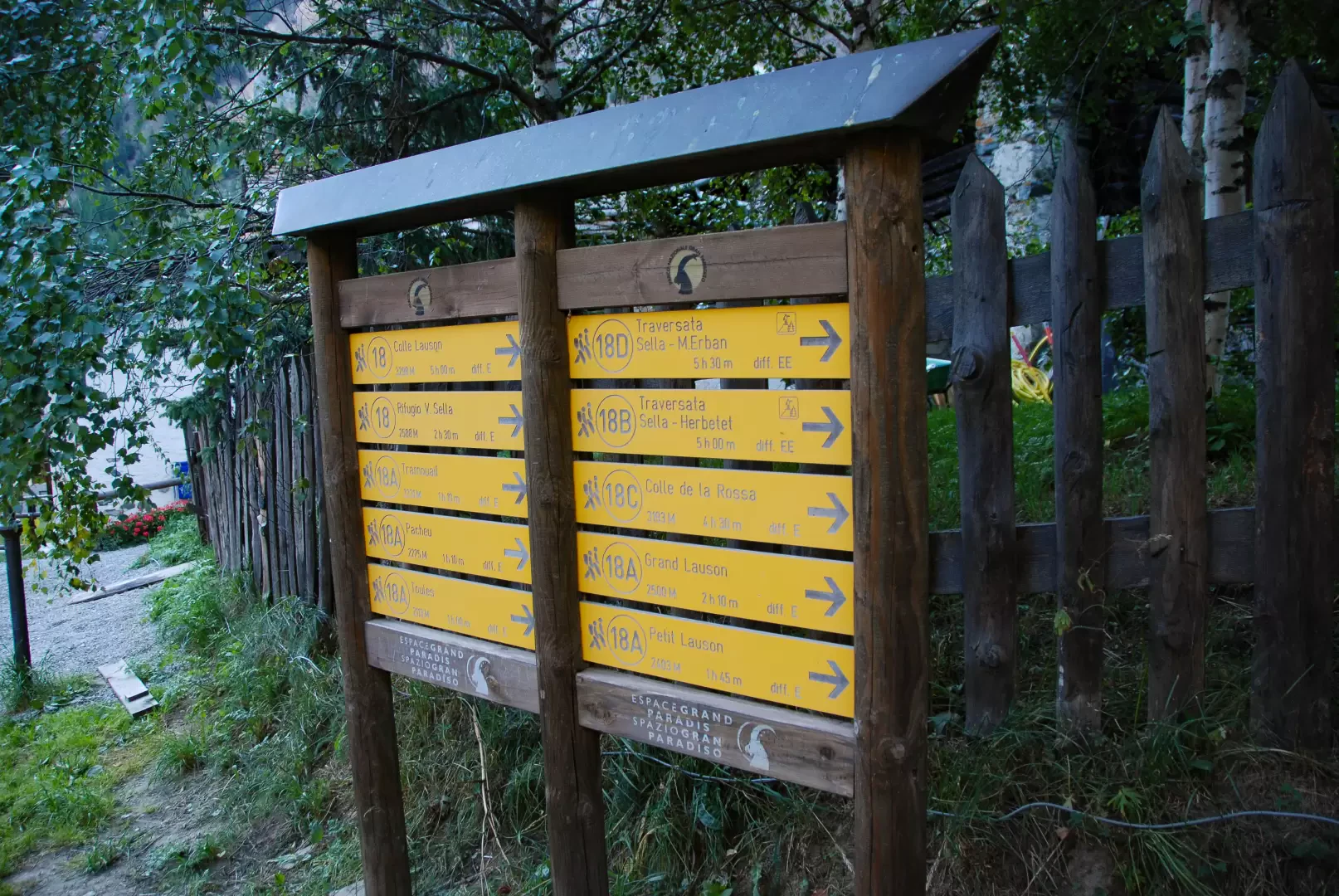
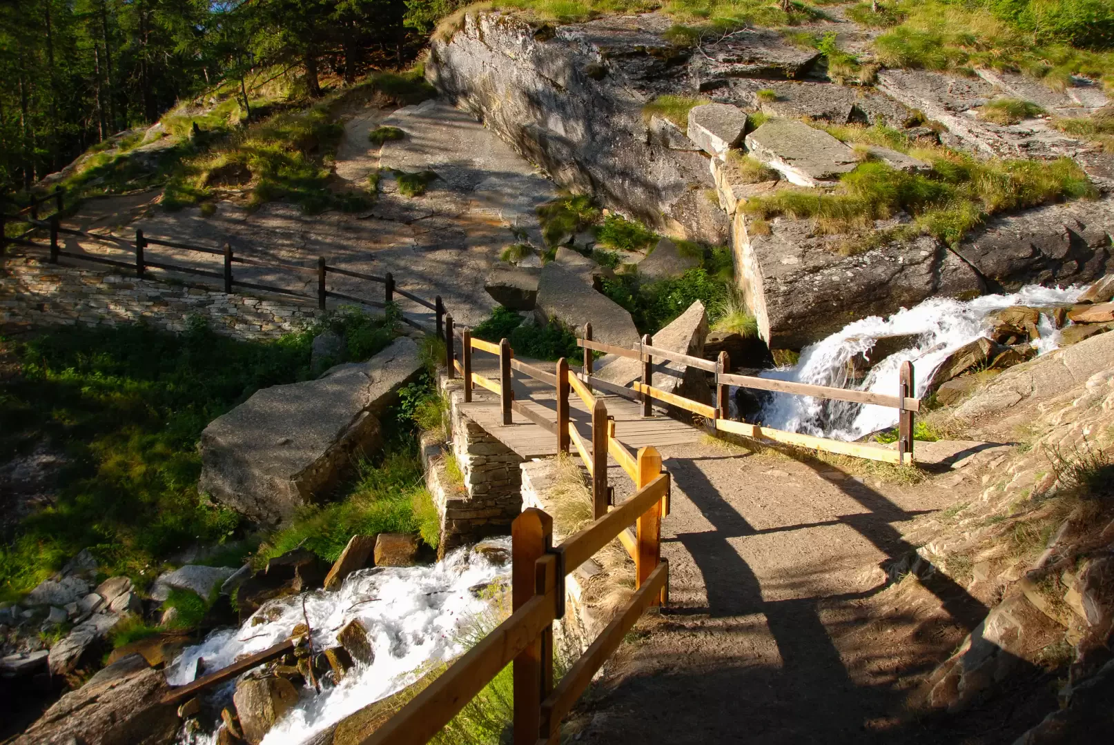
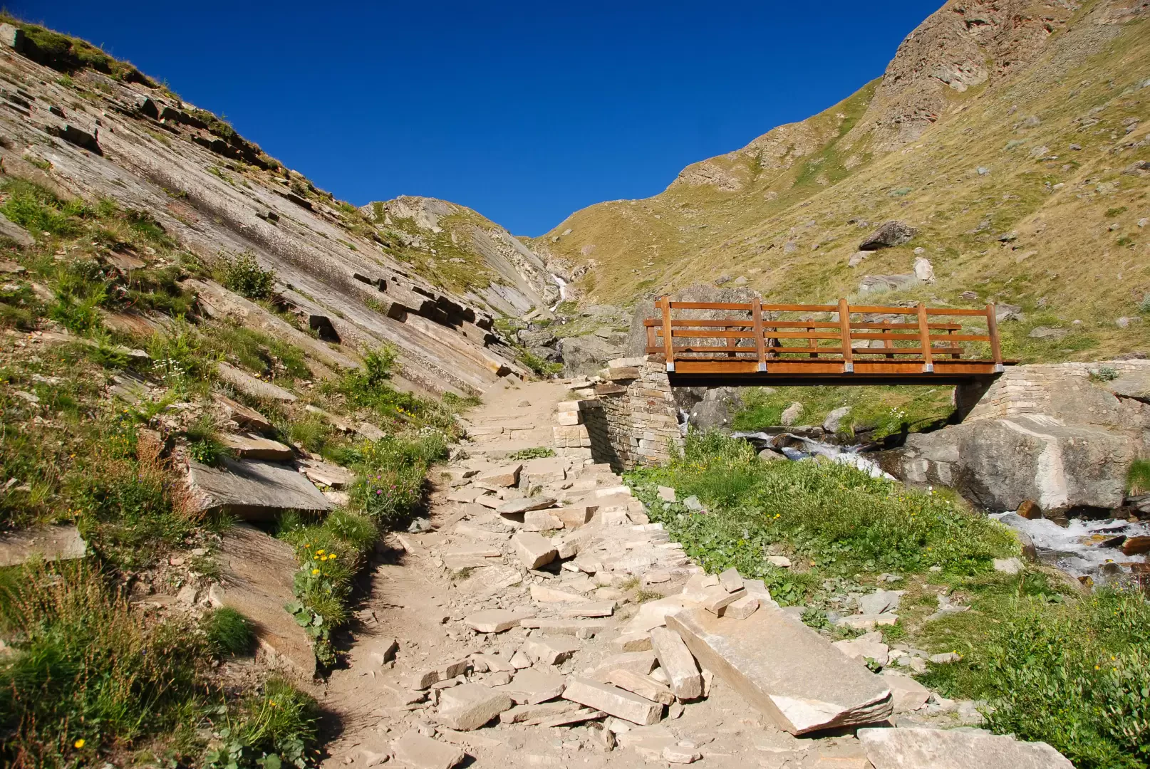
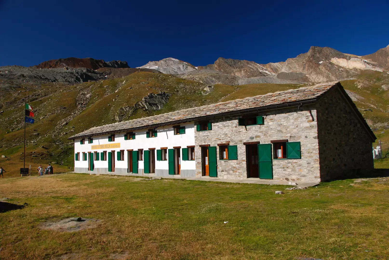
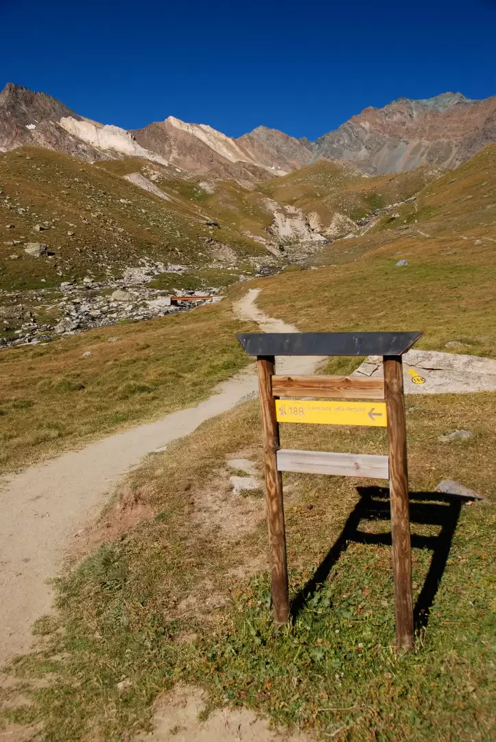
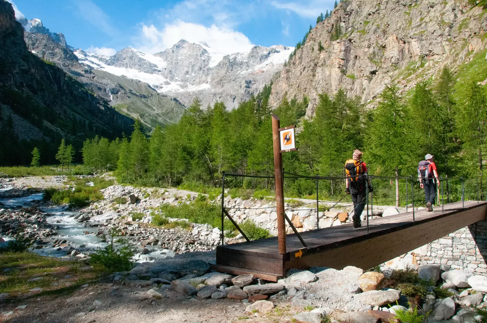
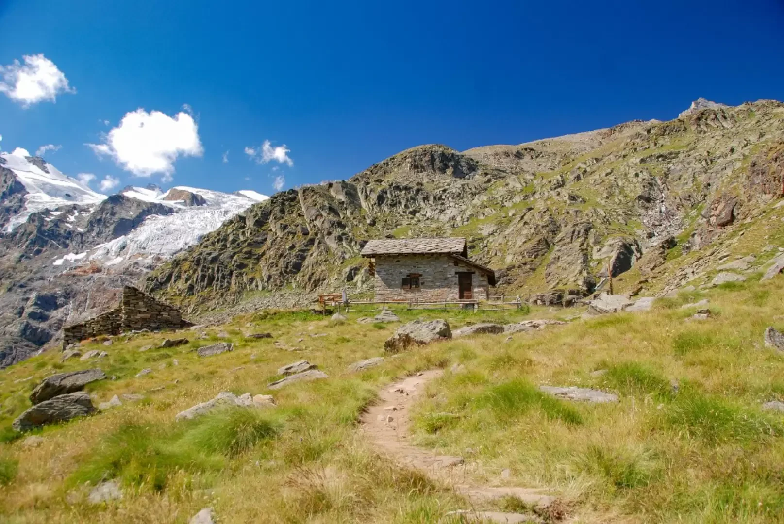
1h45' Cross the stream over the small wooden bridge and start to climb up the left orographic slope, with a series of long alternating traverses, until it joins the old royal hunting road again. The destination is approaching, continue by cutting across the steep grassy slopes that descend from the Tête Tsaplane and then overcoming a decidedly steep section with a series of turns. Neglect the path to the alpine pastures of Grand Lauson (2506m) and proceed with a more moderate ascent until reaching the Park ranger's hut: here is the junction of the trail and the continuation of the Alta Via . Descend briefly between the meadows until you reach the Vittorio Sella hut (2579m, 💧).
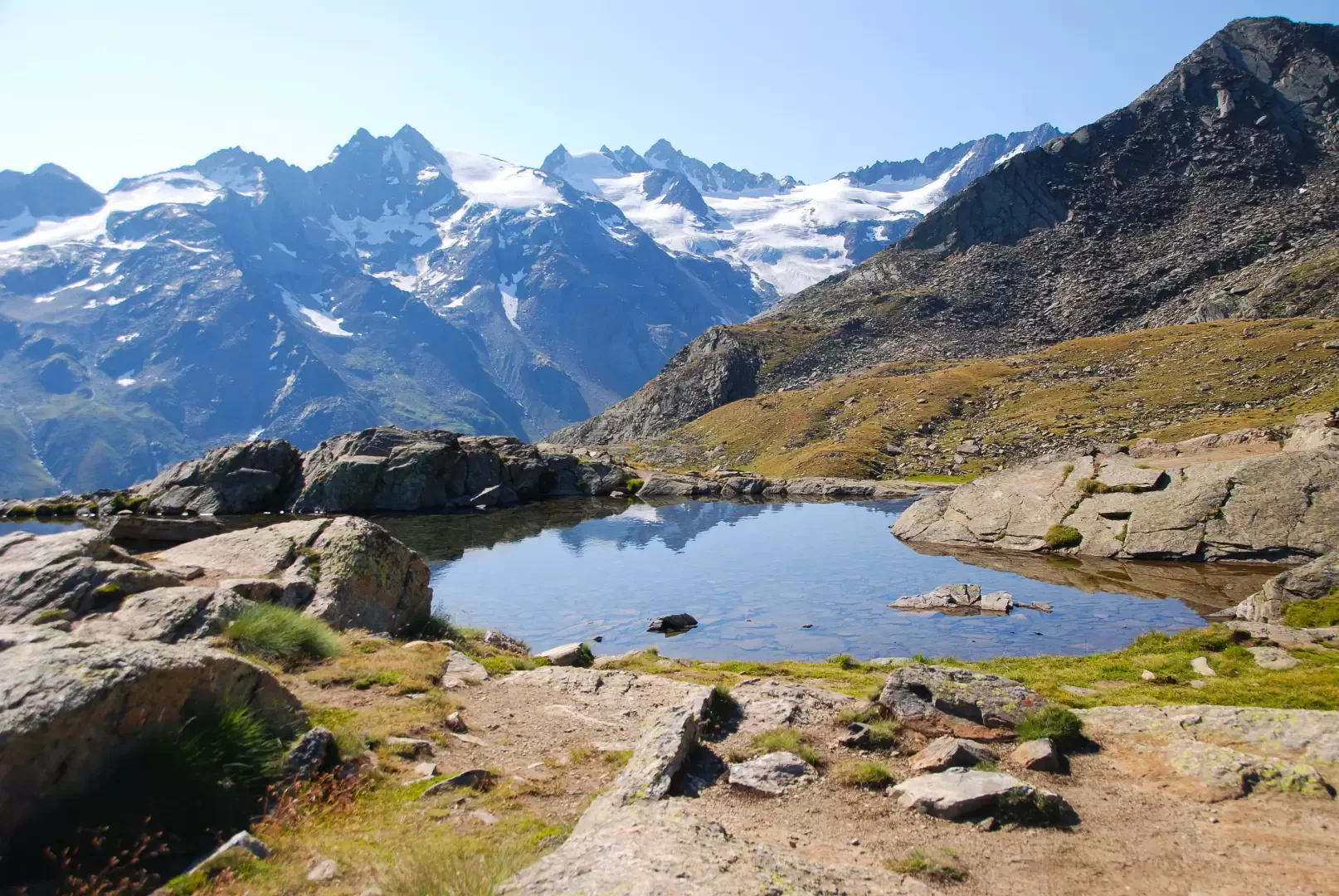
2h30' Take the path , cross the Torrent de Grand Loson on a wooden footbridge and proceed slightly uphill until you reach a hump which anticipates the iconic little lakes of Loson (2655m), near which it is quite possible to spot ibex, the true landlord of this area.
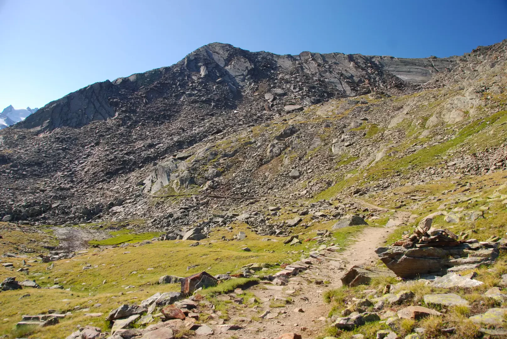
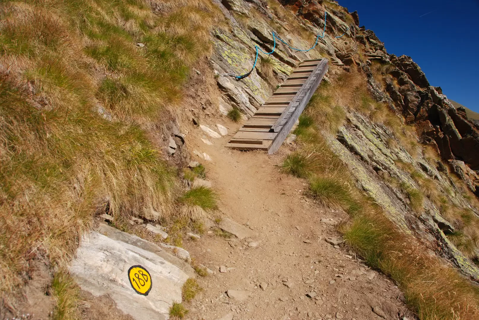
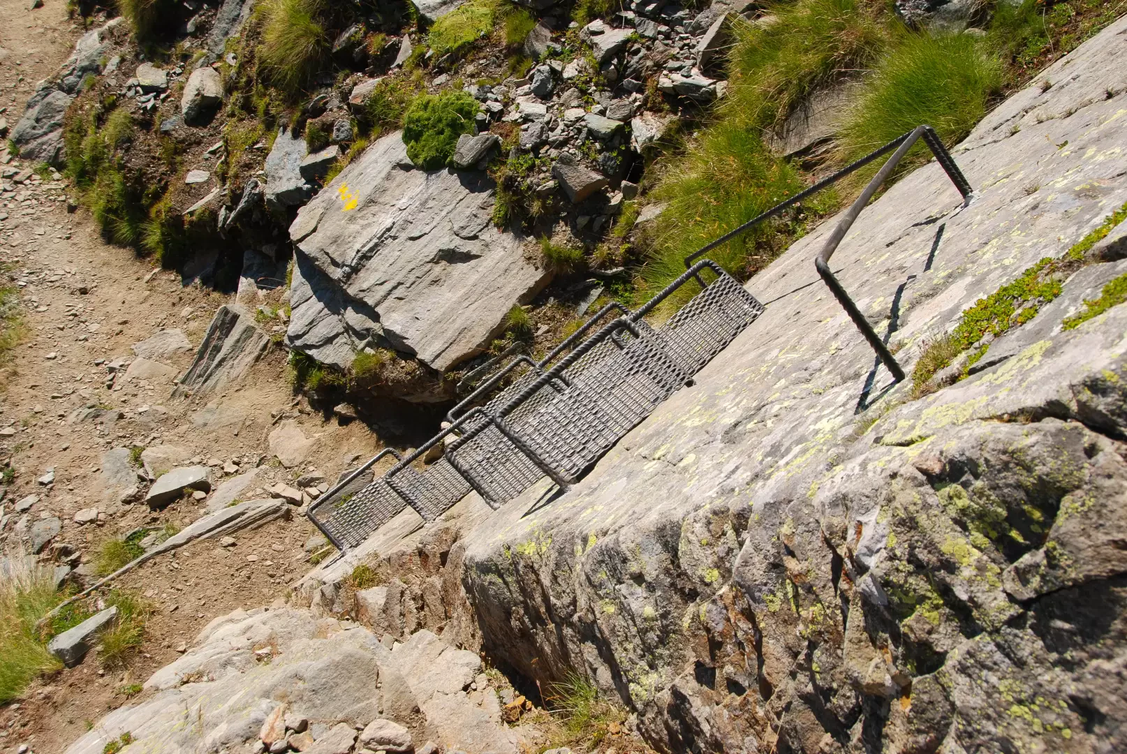
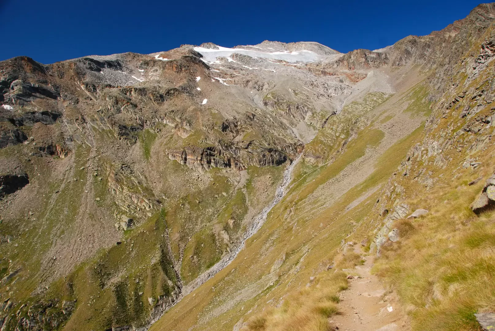
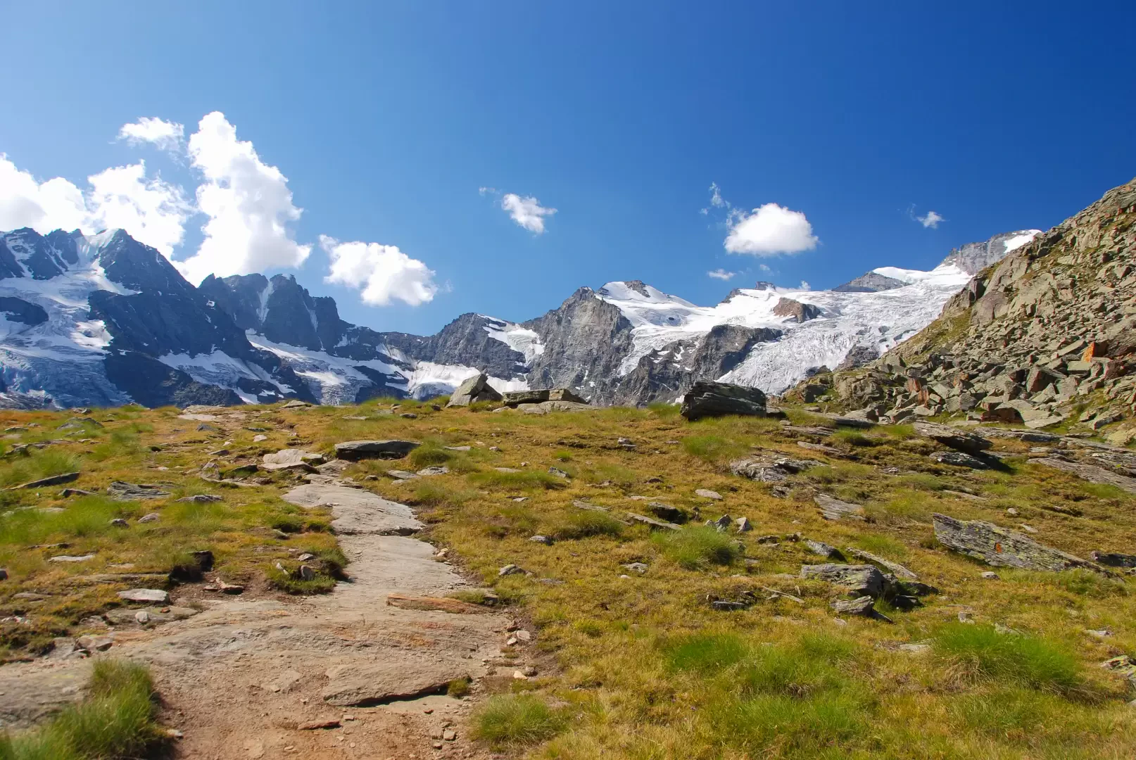
2h50' Still on a wide path and slightly uphill, we proceed in a southerly direction around the Bec du Vallon, on the beautiful path with stone ballast in places. Having gone round the "bec" and having spotted a large stone cairn, you begin to lose height, encountering the first exposed sections with aerial views of the Valnontey below and the first sections equipped with safety ropes and footbridges until descending a rocky slab with a series of metal treads. Having overcome the most difficult part with a few ups and downs, follow the orographic line of the Grand Vallon until crossing the stream of the same name. Open to meet and cross the impluvium of the Torrent Grand Vallon and then continue on the orographic left of the valley crossing a scree slope with the help of cairns placed to delineate the route to follow. After ascending a short counter slope, you reach Plan Resellaz (2526m), a panoramic shelf with an extraordinary view of the glacier crown that closes the Valnontey.
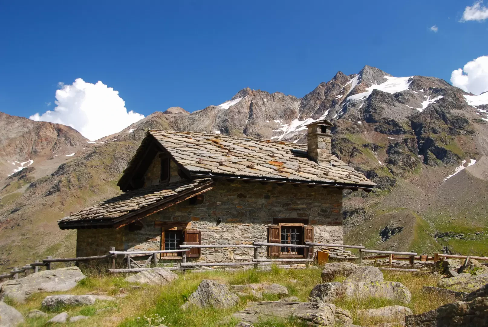
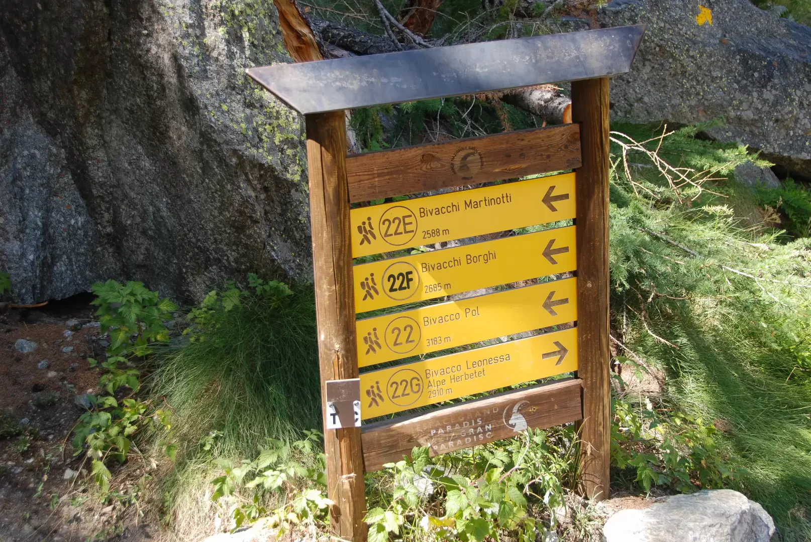
4h00' The descent now begins, the path skirts the slope with a long diagonal halfway up the slope that passes the last rocky crags and reaches the Herbetetet Park Guards' Hut (2441m, 💧) where the junction for the Leonessa Bivouac is found.
4h25' Neglect the path to the right for the bivouac and continue the descent on path that with long turns descends to the valley floor. At an altitude of around 2,100m, you cross the Torrent de l'Herbetetet on a wooden footbridge and shortly afterwards meet the first larch trees, which indicate that the descent is now coming to an end and, after a few rapid turns, you come to the junction with path , which you should ignore on the right.
5h30' Turn left onto path , which runs along the Valnontey on its orographic left-hand edge as far as Pont des Erfaulets (1846m).
6h00' Continue now on the orographic right on the wide path that in sequence leads to Vermianaz (1731m), to David (1729m) and finally reaches the starting point at Valnontey (1666m, 6h30').
Galleria fotografica