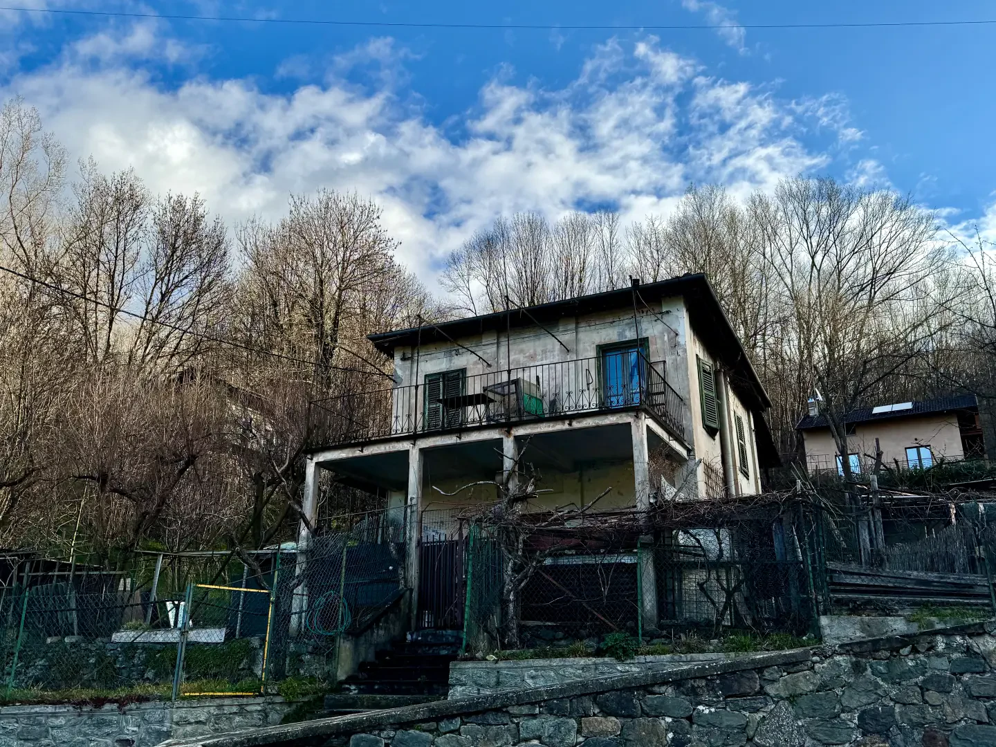
Ponte delle Capre, from Tenso


Edited by:
Massimo Martini
Updated at: 01/11/2025
Access
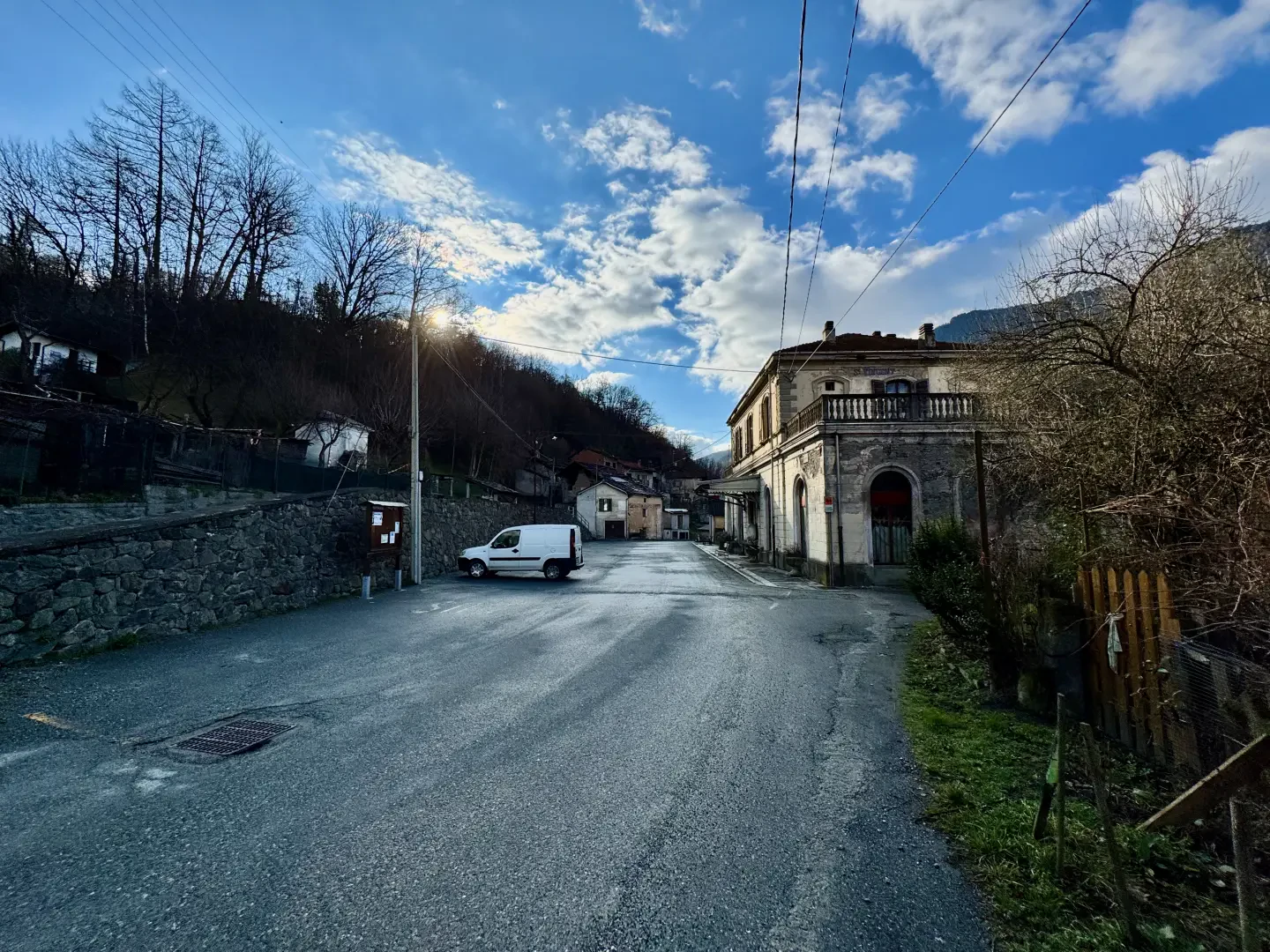
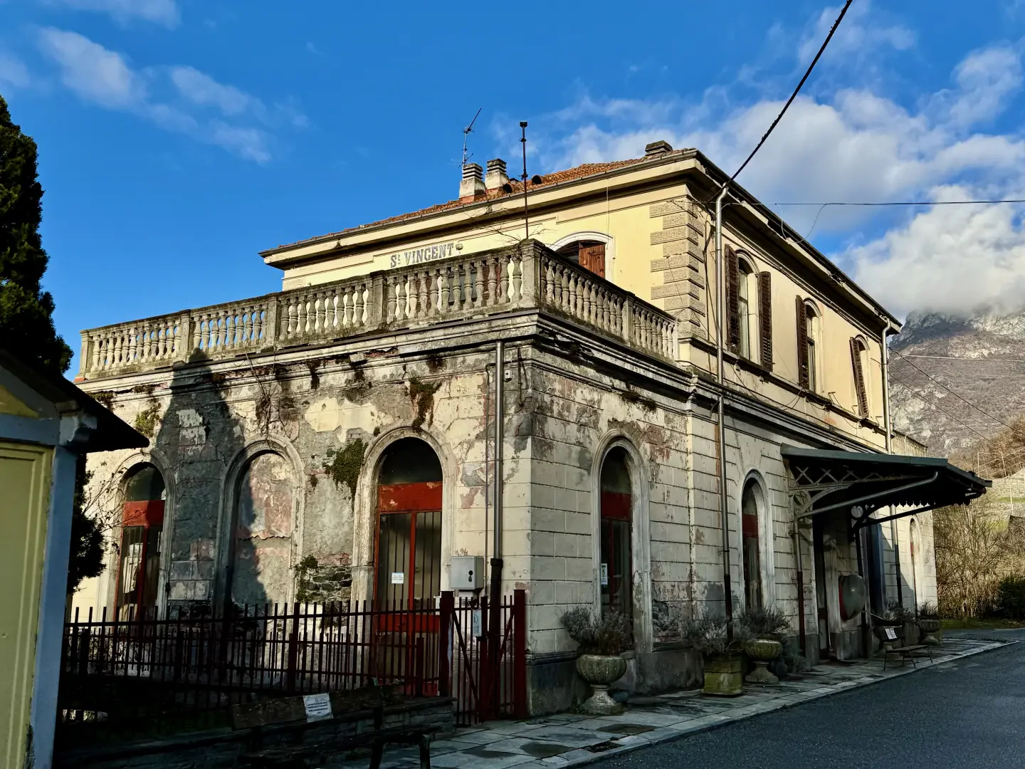
From the motorway junction exit at Châtillon-Saint-Vincent, turn right and follow the road for 900 metres, then turn onto the state road. Continue on the state road for another 900 metres, then exit at the second junction and turn right, following Via della Stazione for 1.2 kilometres, until you reach the car park in front of the old Saint-Vincent railway station.
Distance and journey time
🕒Travel time: 6 minutes
📏 Distance: 3.7 km
GPS navigation
📍 How to get there with Google Maps
📍How to get there with Apple Maps
ℹ️ Important note
The information provided was checked on the date of the route survey. Before departure, it is advisable to check for any changes to the route. For up-to-date and detailed directions, we recommend the use of Google Maps or Apple Maps.
Introduction
Although cramped, the place is certainly picturesque: the bridge clings to a narrow gorge of the Dora Baltea created by the force of the waters over the millennia.
Description
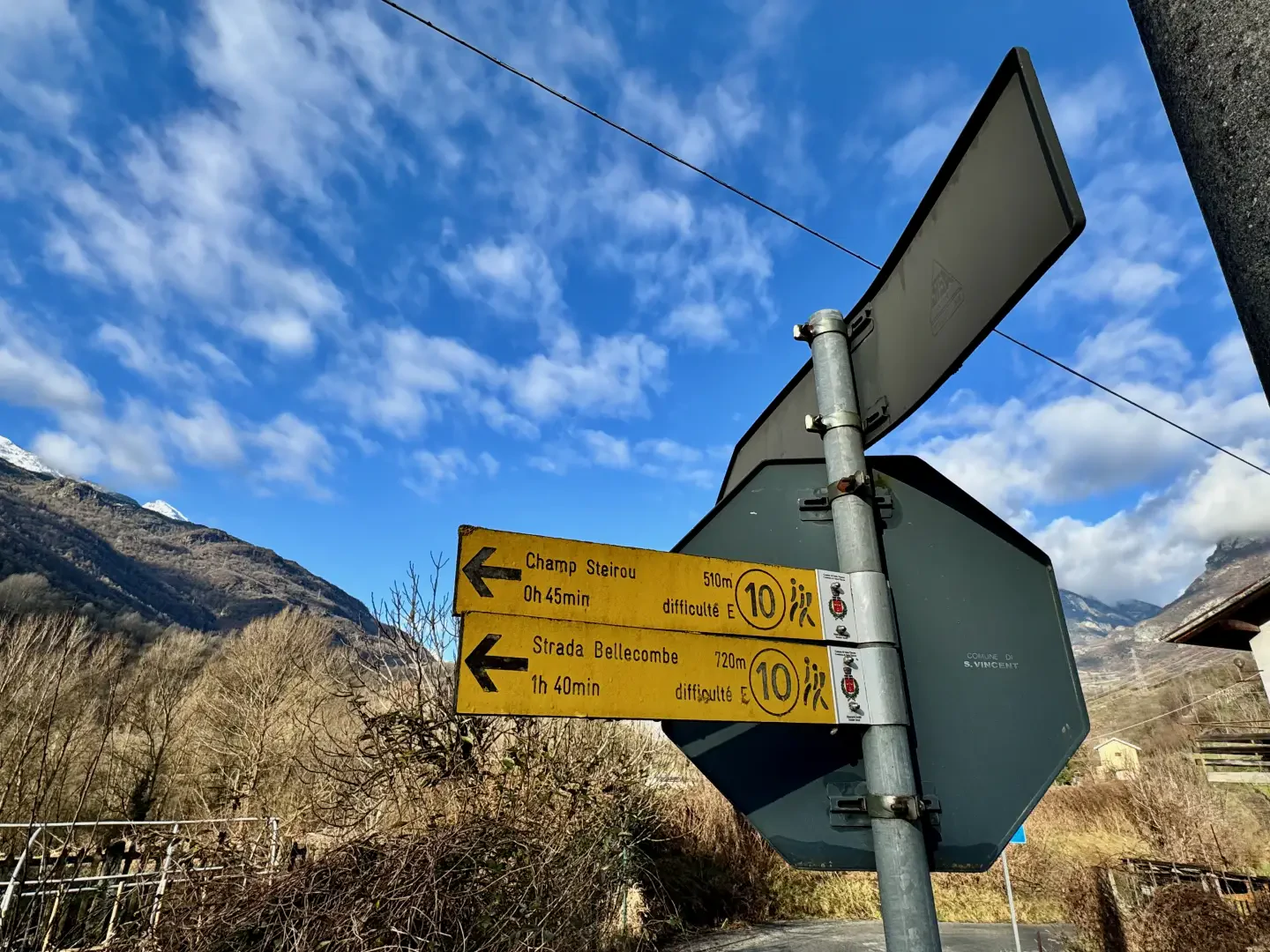
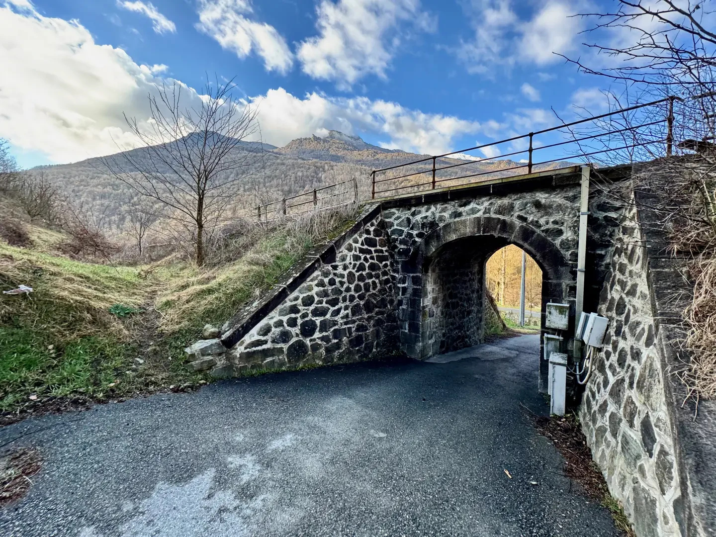
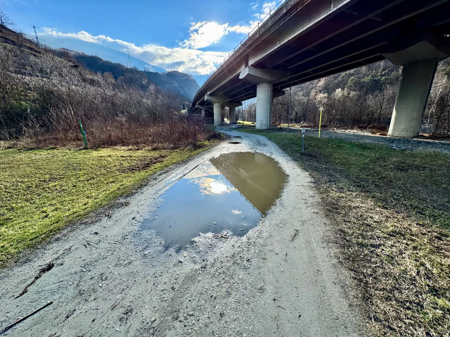
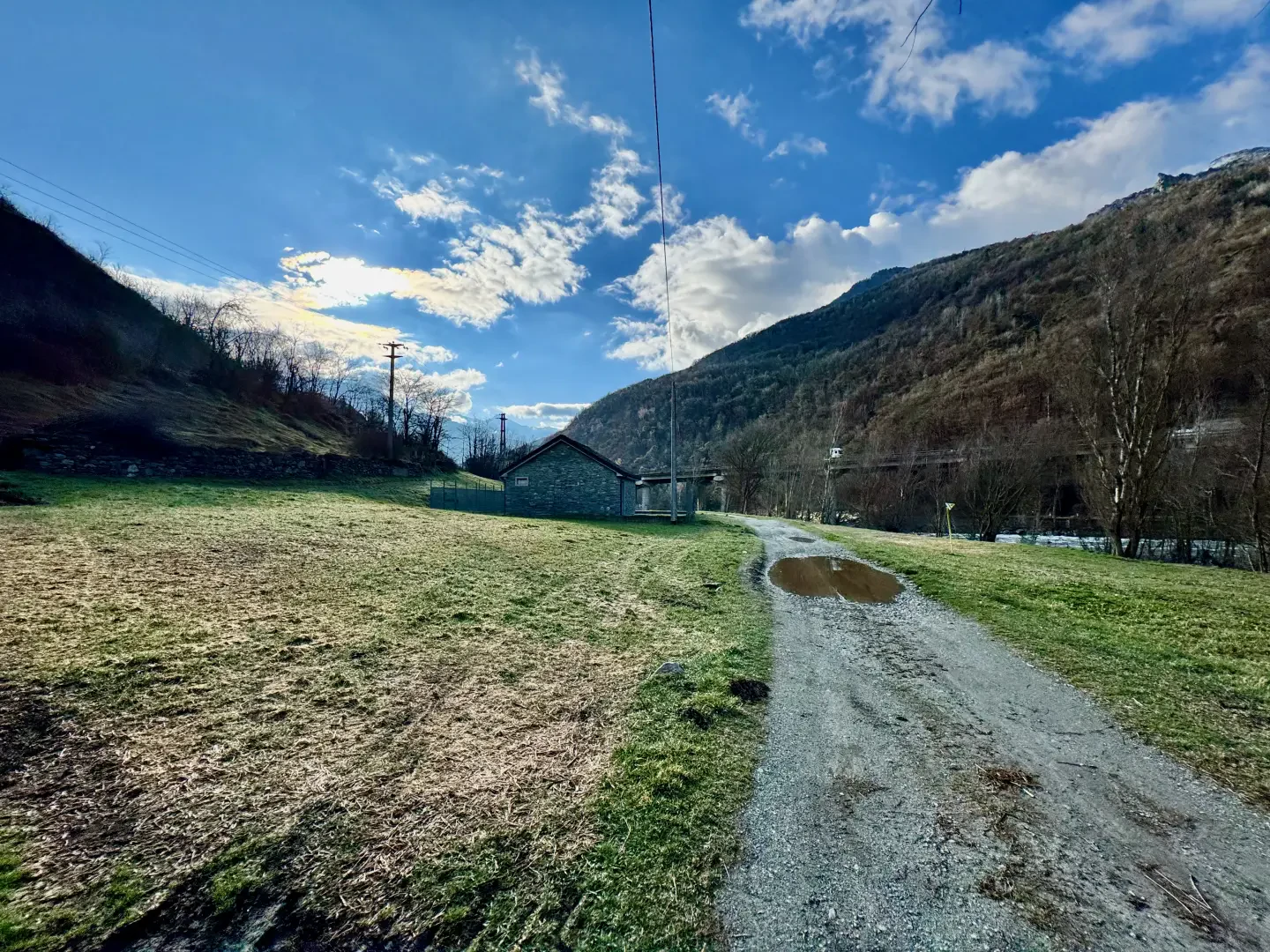
0h00' 0.00km From the old station car park, follow the signposts to Champ Steriou and proceed in a south-easterly direction, heading towards a house with a sundial. At the end of the clearing, take a path that briefly skirts the railway line until you reach the subway, which allows you to cross the tracks and access the pastures below. Continue along the small road, now unpaved, in the direction of the motorway viaduct that approaches the Dora Baltea riverbed. When you reach the motorway pylons, pass under them until you come to a bridge on the right. Ignore the crossroads (which will be used on the return journey) and continue straight ahead, passing the section covered by the viaduct. Then start a short climb until you reach the railway line again, where you will find a new signpost.
[0h180'T1] 1.12km Turn right and descend briefly down the path, passing again under the motorway viaduct until you come to the characteristic Ponte delle Capre (422m) 0h20' 1.17km .Cross the bridge at its unusual incline and, once you reach the orographic right bank, you will come to a new fork: turn right, ignoring, on the left, the path that leads to Champ Steirou. Continue to the right, following the signs of trail marker on a small road bordered by a wooden railing, which after about 300m joins the hairpin bend of the farm road leading to Champ Steirou, to be followed briefly uphill before turning onto the path.
.Points of Interest
- Tensoz
- Ponte delle Capre
Collections
- hikes departing from Tensoz - on the map
- hiking in Saint-Vincent - on the map
- walks in media-daosta-valley- on the map
- hiking in media-valley-daosta- on the map
Photo gallery
Comments (0)
Sign in to leave a comment