Bivacco Resnati, from Val d'Arigna

Edited by:
Marco Bonati
Access
From Milan to Valtellina along the state roads and ; once past the Sondrio ring road, continue to the locality of Casacce, turning right just before the Ponte in Valtellina railway station, to cross the Adda on the Sazzo bridge. Follow the signs for Arigna where - continuing along the valley floor - the asphalt road ends: the well-maintained dirt road continues to the Orobie Valtellinesi Park car park.
- How to get there with GMAPS
- Come arrivarci con Mappe Apple
Introduction
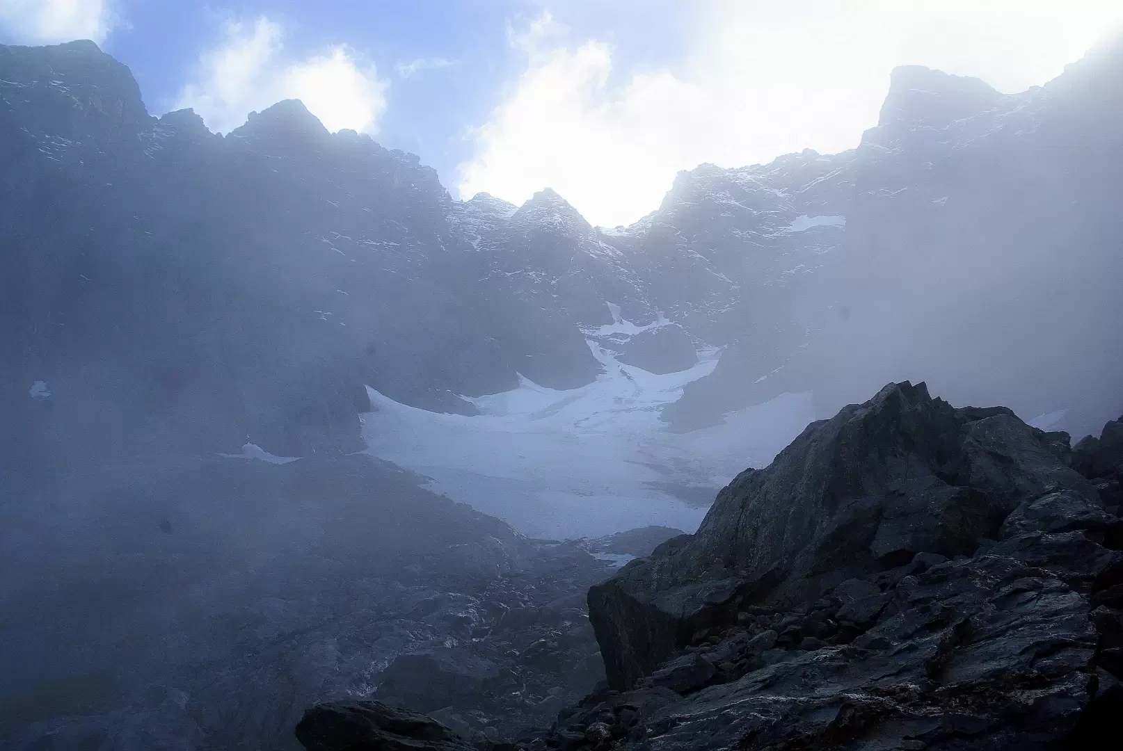
Short excursion that enters a very wild and isolated valley: at a truly modest altitude, you find yourself in a decidedly alpine environment, at the base of the highest peaks of the Orobie (Pizzo di Coca 3020 m) and the lowest glacier in the Alps (about 1900 m). The entire area, from a glaciological and thermographic point of view, is constantly monitored by the special services of the Lombardy Region. The valley is also well known to botanists for the presence of particularly rare plant endemisms. As far as logistics are concerned, it should be noted that, despite the presence of painted signposts, orientation is truly problematic in poor visibility; and that, in the event of flooding, a stream can be difficult or impossible to ford.
Description
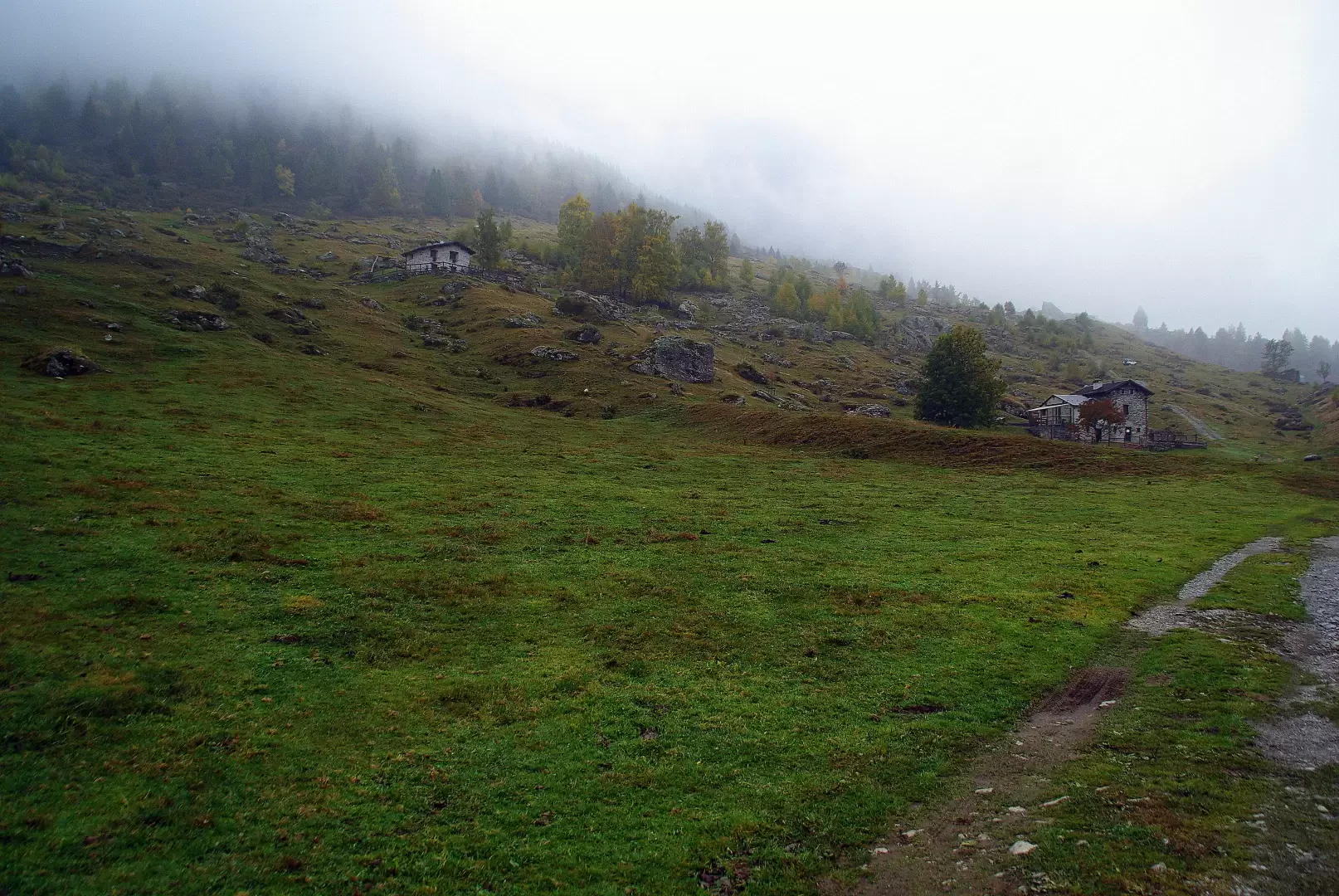
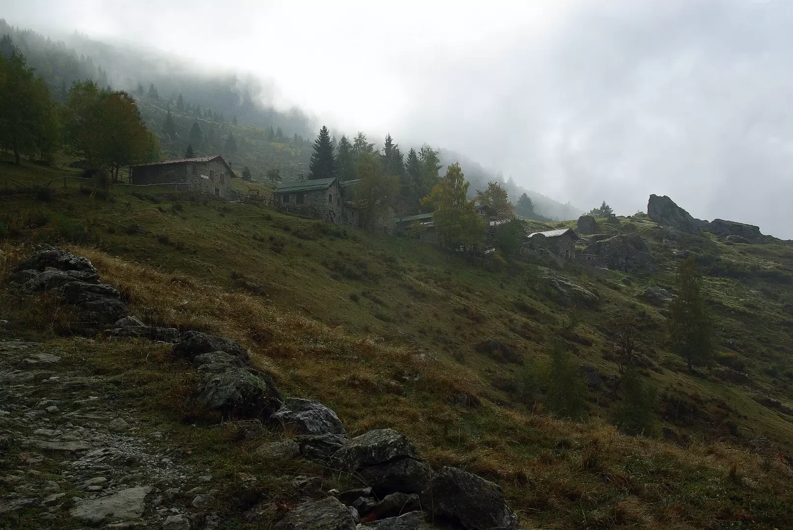
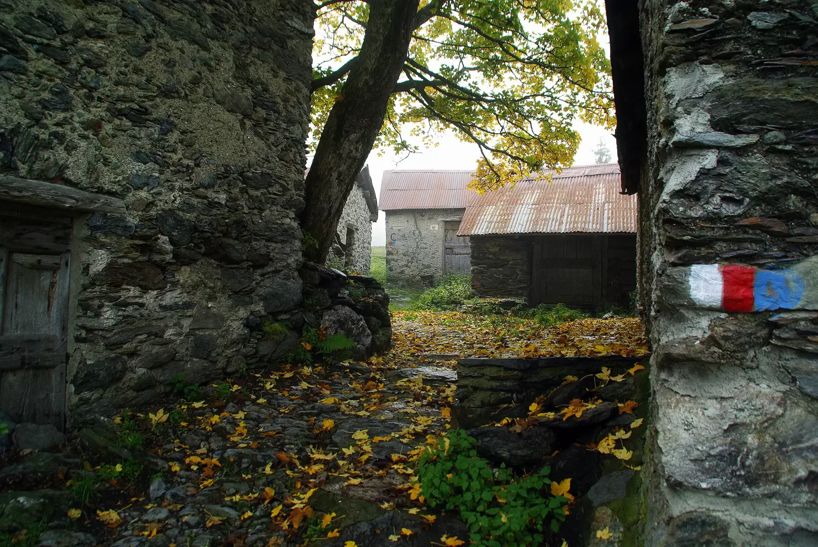
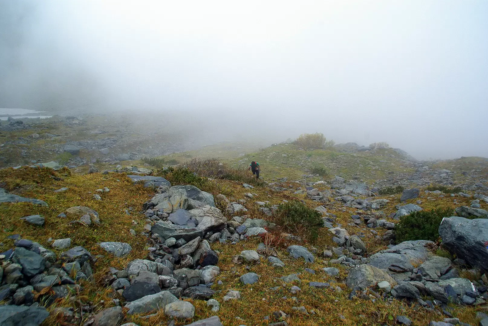
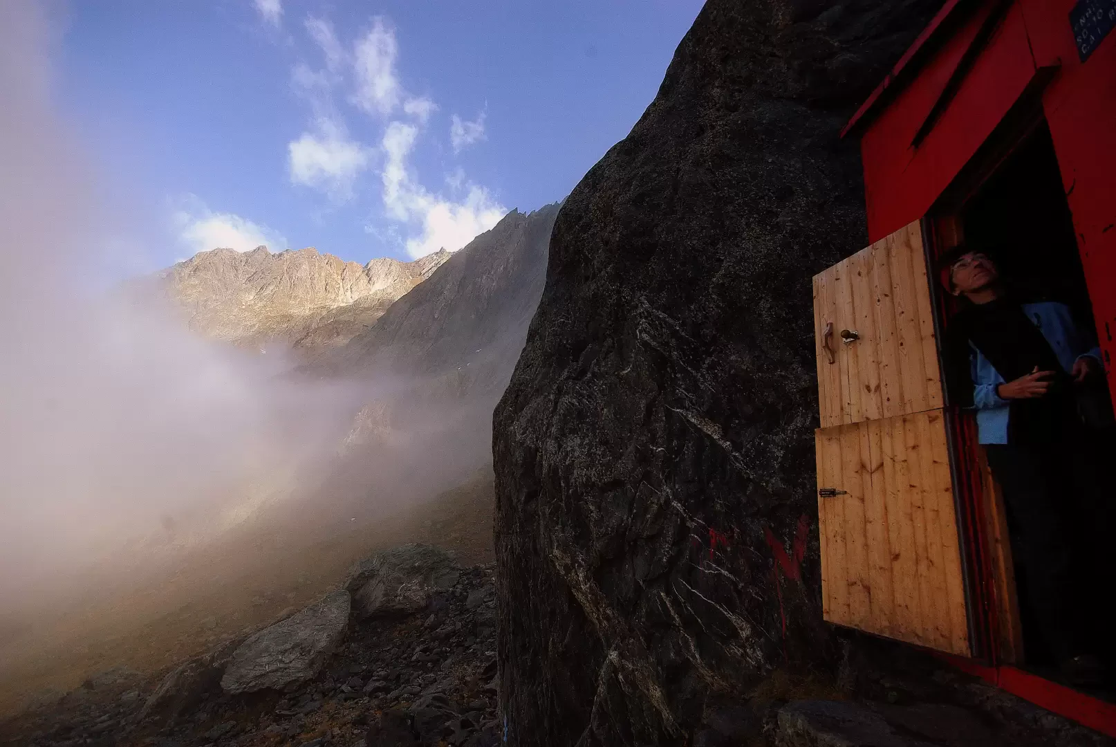
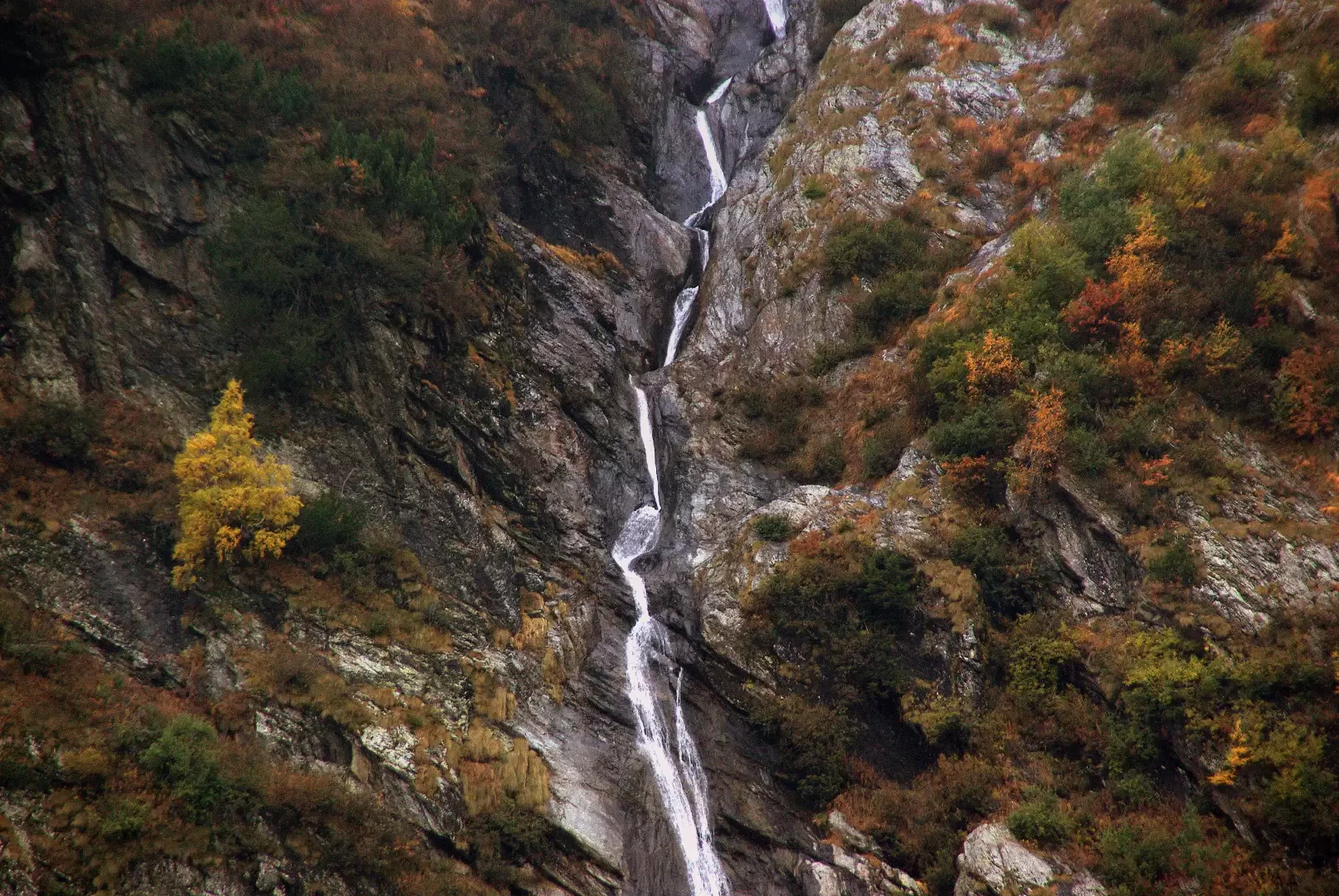
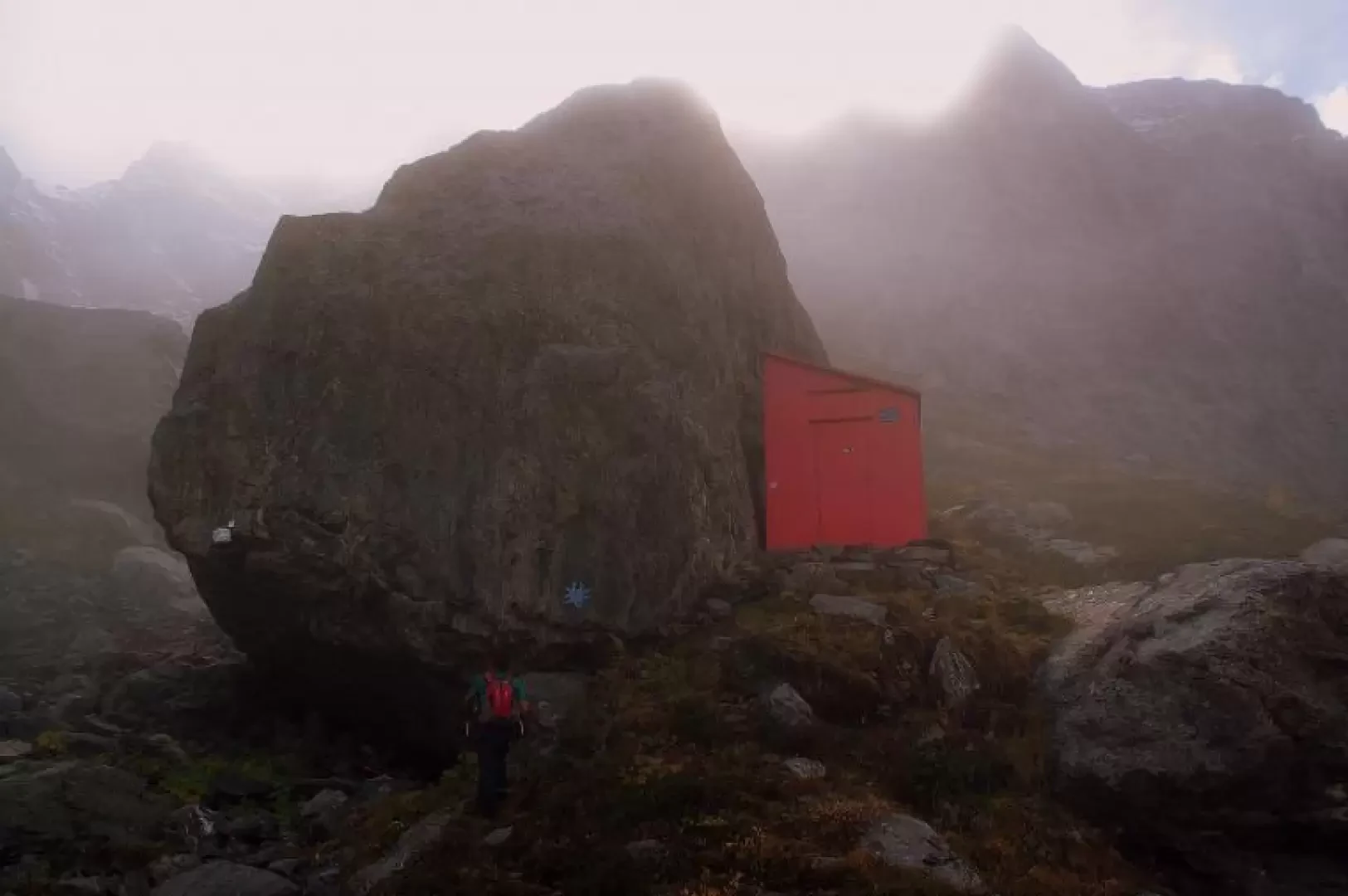
From the car park near the Armisa power station 1040m, continue along the cemented forest track (only authorised vehicles allowed) that winds its way up through the damp forest to some renovated huts. With a gentler slope, the track continues towards a series of grazing terraces, each containing a small cluster of huts. [Keep left at the only fork in the cart track]. The hamlets of Foppe 1275m, Pradasc 1458m and Baite Michelini 1499m follow one after the other: here the road ends and you take - on the same line - a good, mainly flat path that, halfway up the slope, reaches the valley floor by convergence. Leaving to the right - marked - the path for the Bivacco Corti (Corti Bivouac) and the GVO (Gran Via delle Orobie), you begin to tackle the last slope to the bivouac. The track practically disappears and you continue on stony pastureland among the last remnants of the alder thicket. After passing a large cross (commemorating a family mountaineering tragedy), the signs continue along the line of the steepest slope along vague moraine furrows. The Resnati Bivouac 1850m, in case of good visibility, can be seen from afar, as a half-red hut resting on the right side of the largest boulder in the centre of the valley. It is worth continuing south-eastwards for a few steps on an unstable moraine, in order to get a closer look at the harmless residual ice plate of the Vedretta di Marovin, dominated by the Pizzo di Coca and the looming Cime di Druet.
Return along the outward route.
Galleria fotografica