Canavari-Letey bivouac, from Baou


Edited by:
Massimo Martini
Updated at: 07/07/2025
Access
Leaving the motorway at the Aosta Est toll booth, turn right and take the dual carriageway to follow for 8.4 kilometres. At Signayes continue straight on the state road, passing the villages of Gignod, Etroubles and Saint-Oyen until you reach, after 24.5 kilometres, the junction for the Colle del Gran San Bernardo. Turn right and drive up the road for a further 12.6 kilometres before reaching the Baou alpine pasture and its parking area 🅿️ free of charge. The car park is dedicated to the clients of the refreshment point and is usually very crowded: it is advisable to arrive early so as not to have to find parking on the pass.
[0h43'] - [37.10km]
How to get there with GMaps
How to get there with Apple Maps
The information provided here has been verified as of the date the route was surveyed. Before setting off, it is advisable to ensure that no substantial changes have occurred on the route to the starting point. We therefore recommend the use of the satellite navigation apps provided by Google or Apple for up-to-date and detailed directions.
Introduction
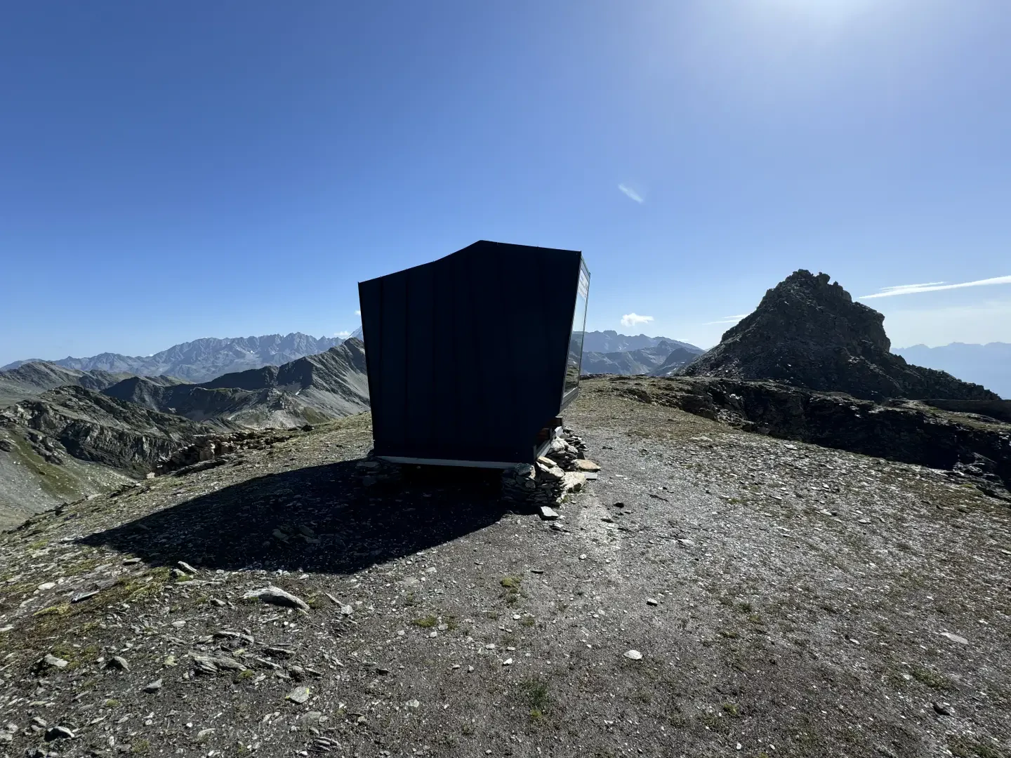
The Canavari-Letey bivouac was named in memory of Alfredo Canavari, Assistant Chief Coordinator of the State Police, and Alessandro Letey, mountaineer and freerider, who both died in a mountain accident on 20 May 2021. Alfredo, who served with the Border Police at the Gran San Bernardo Tunnel, was a mountain enthusiast and practised various alpine disciplines. The bivouac was inaugurated as part of the Skialp@GranSanBernardo project and will serve as a reference point for ski mountaineers and hikers. The inauguration was an emotional event to remember the two mountain enthusiasts.
Description
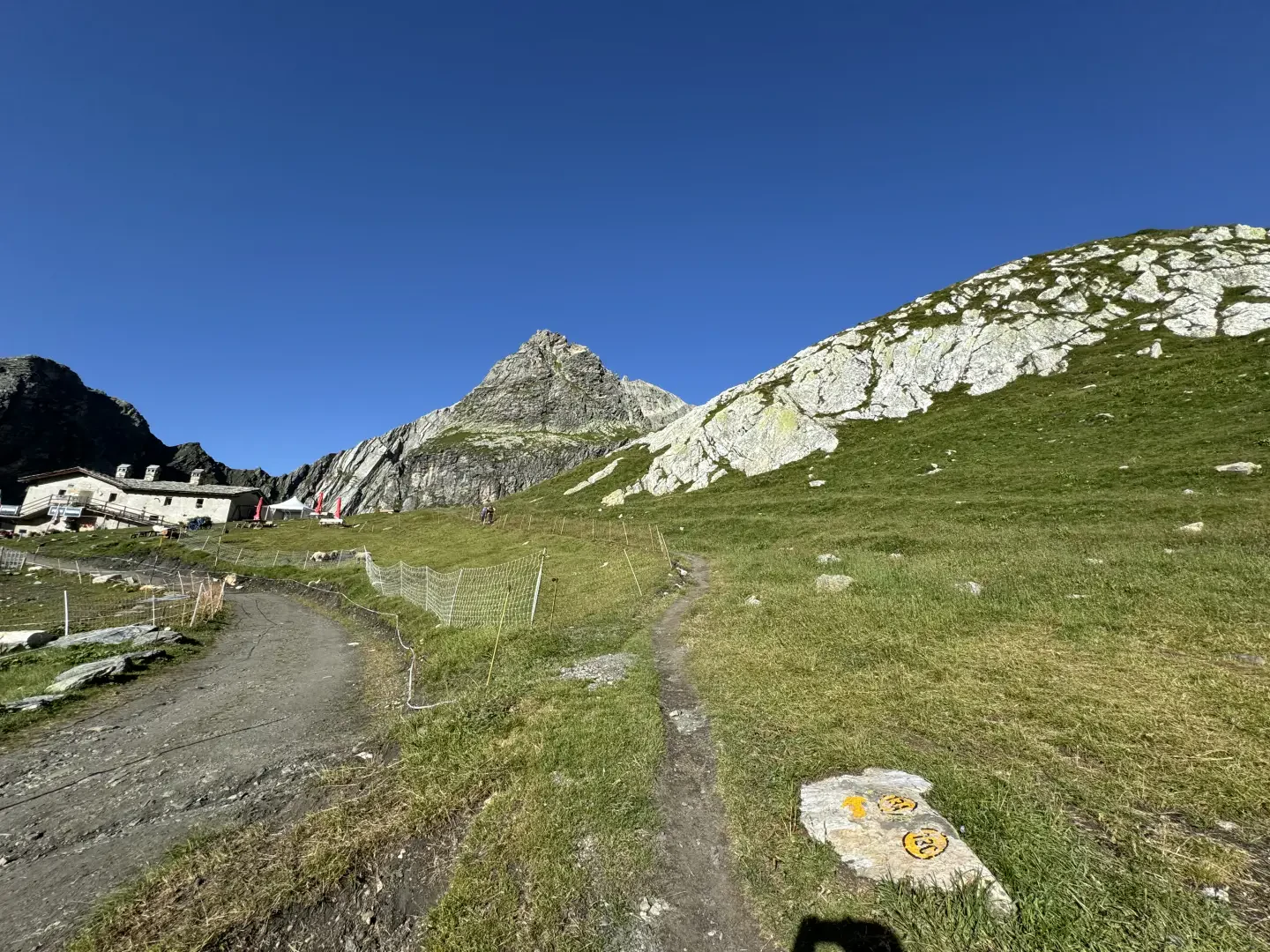
0h00' 0.00km From the car park head towards the signposts showing the main itineraries to be followed in the area and take the dirt track leading to the Baou mountain pasture-restaurant (2369m) until you come to the junction with the path.
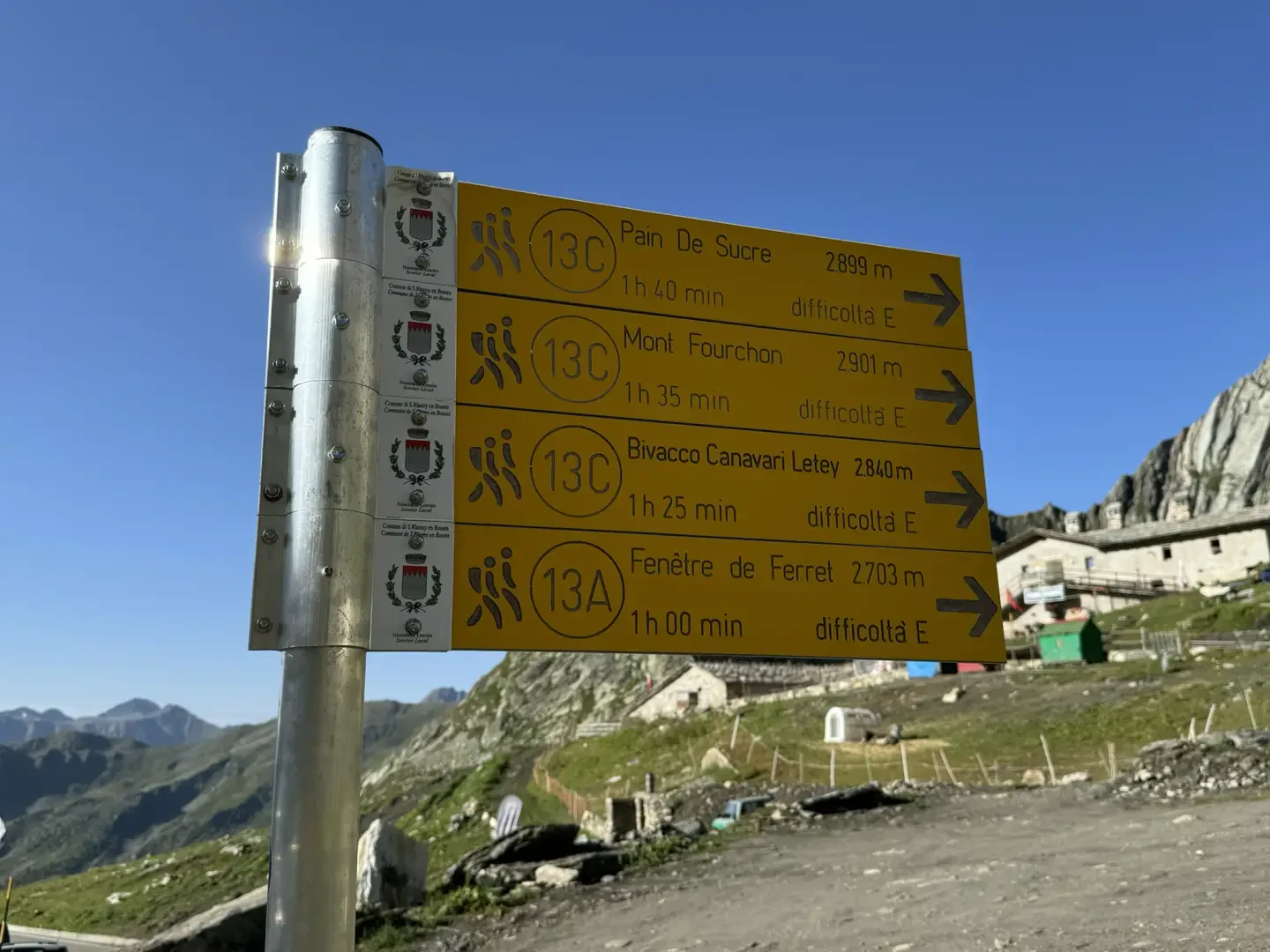
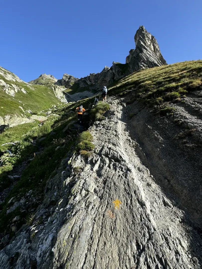
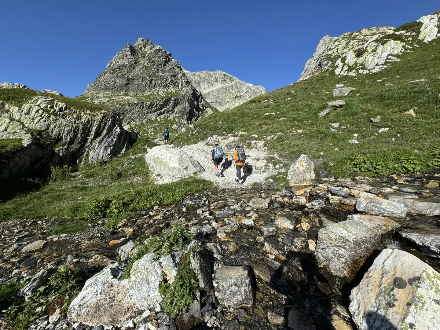
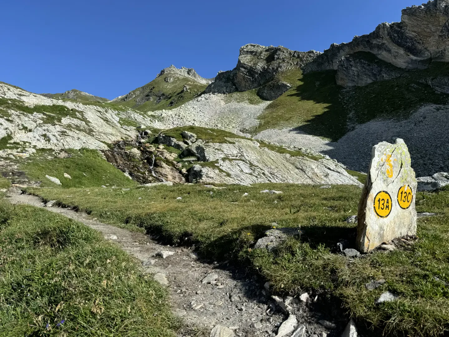
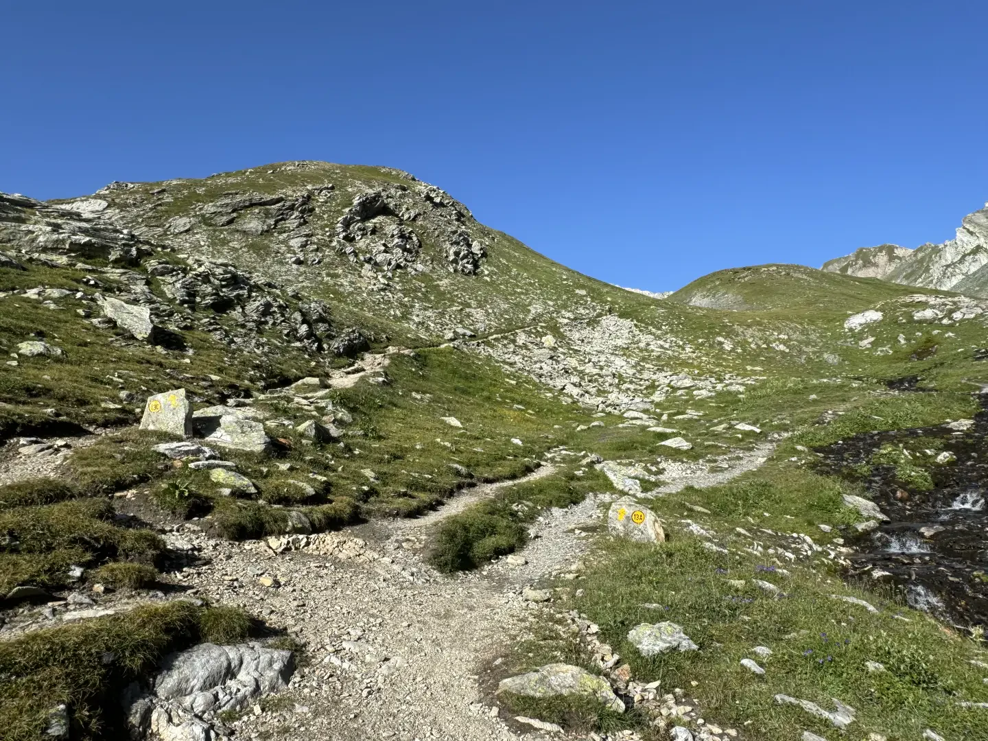
0h02' 0.03km Take the path on the right and follow it halfway up the hillside between the pastures towards the sharp Tour des Fous (2576m) before turning right again to enter a small valley furrowed by a small stream that must be forded at an altitude of about 2400m. Continue on the orographic right of the valley up the grassy slope interspersed with stretches of rocky outcrops on the easy and obvious path around the rounded summit at an altitude of 2556m until it enters the beautiful grassy basin at the foot of the Tête Fenêtre (2823m) and the junction for the Fenêtre de Ferret (2495m).
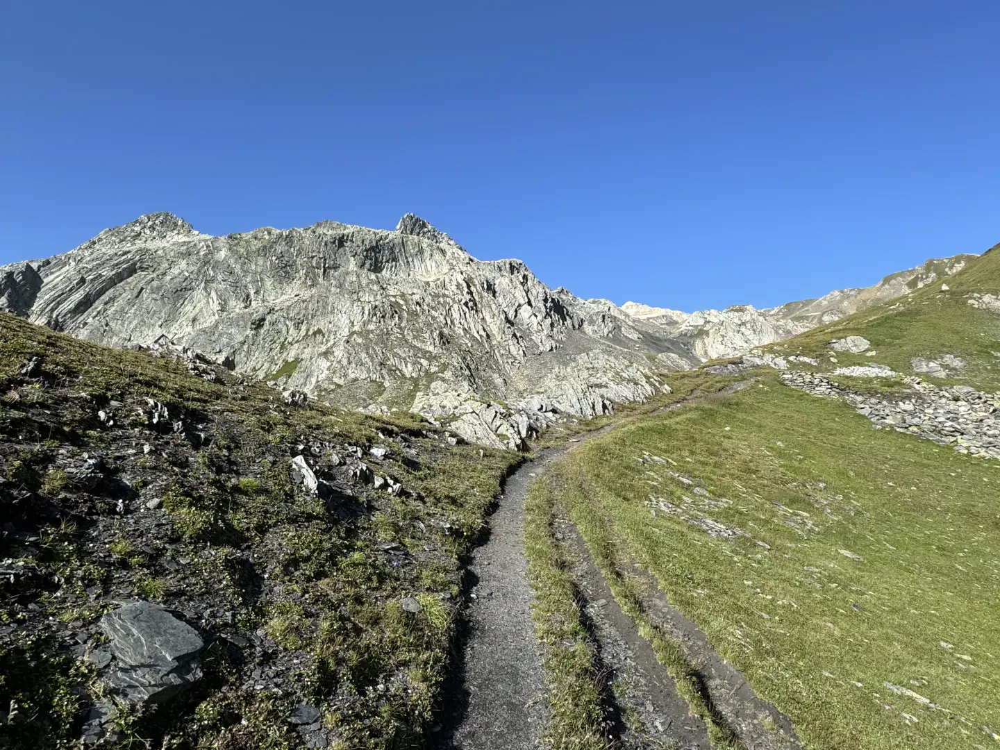
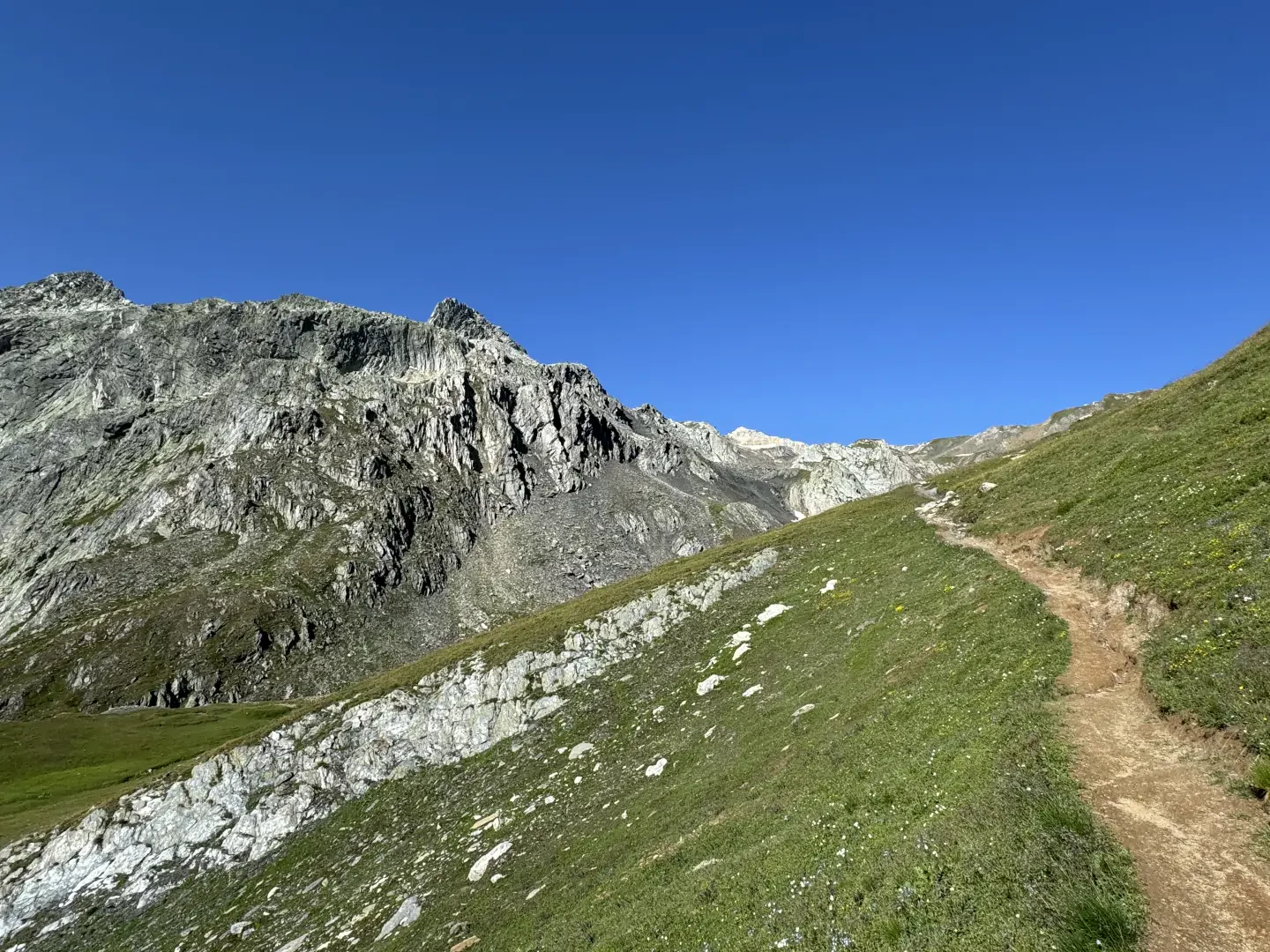
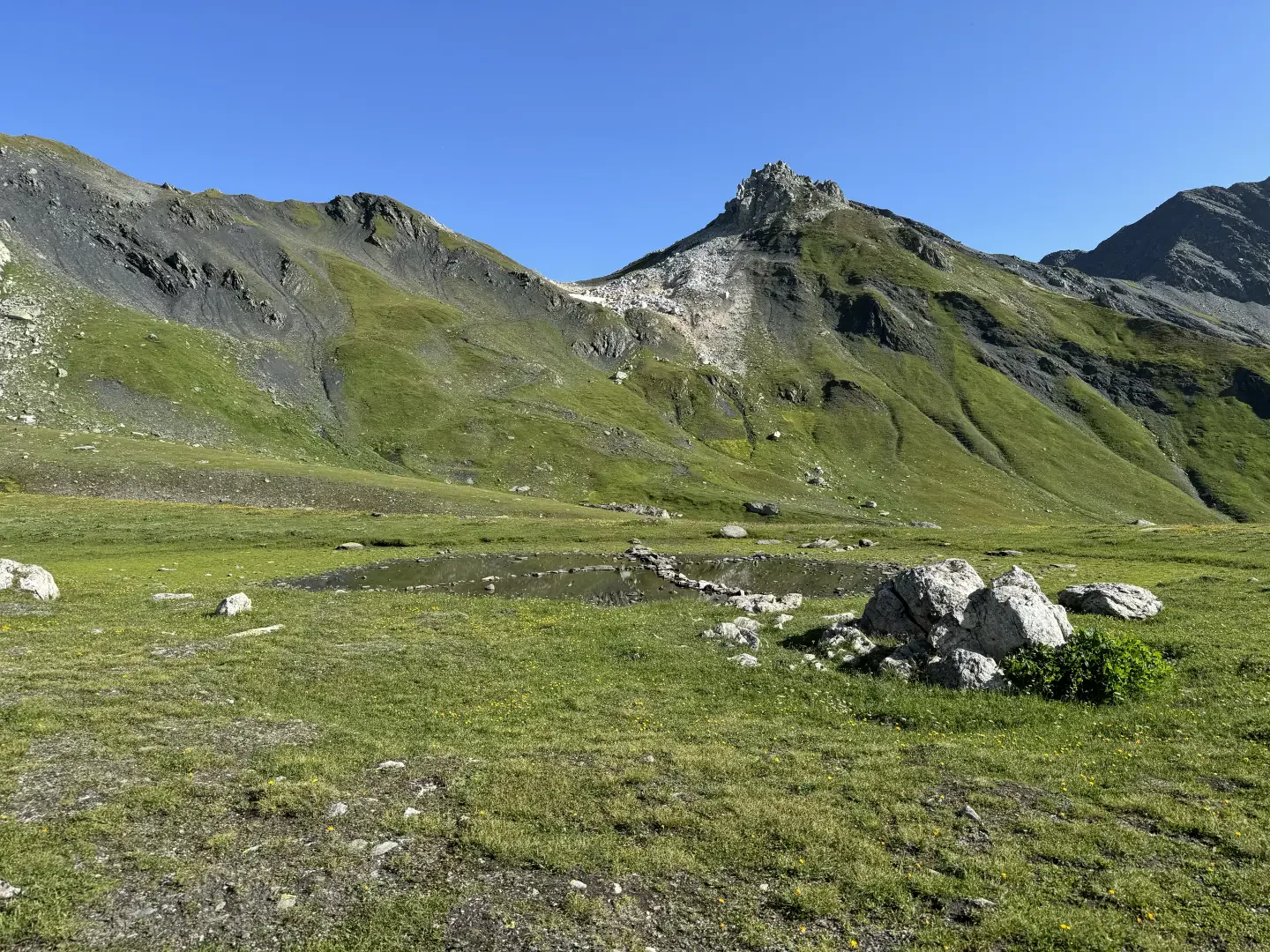
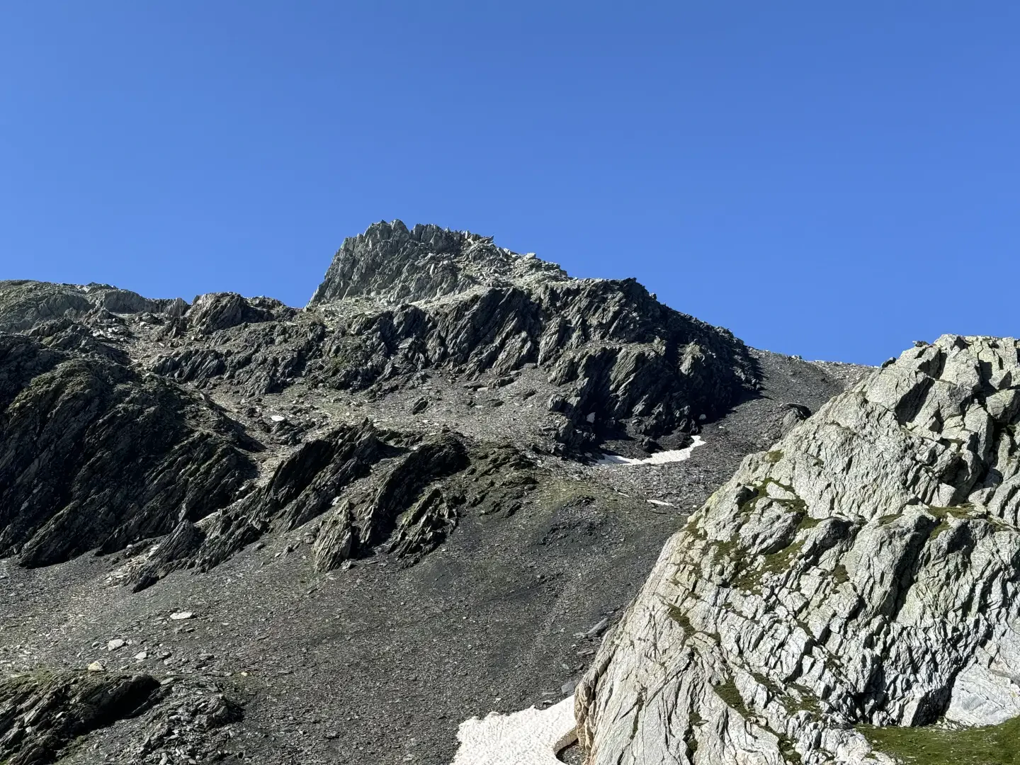
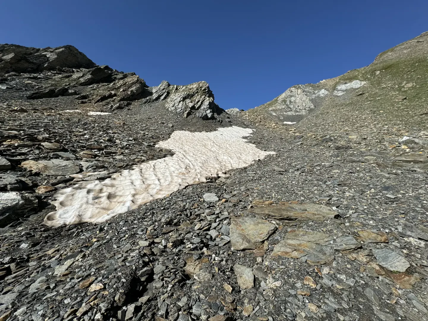
0h20' 0.54km Continue on the path to the left, which leads up a grassy ridge to the north face of the Pain de Sucre (2899m) at the end of which you reach a plateau with a small lake. The path veers to the left and the grassland gives way to the macereto. Follow the path to the mouth of a wide gully, up which you reach the wide cirque between the Pain de Sucre and Mont Fourchon.
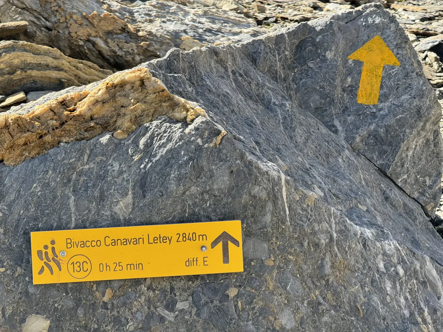
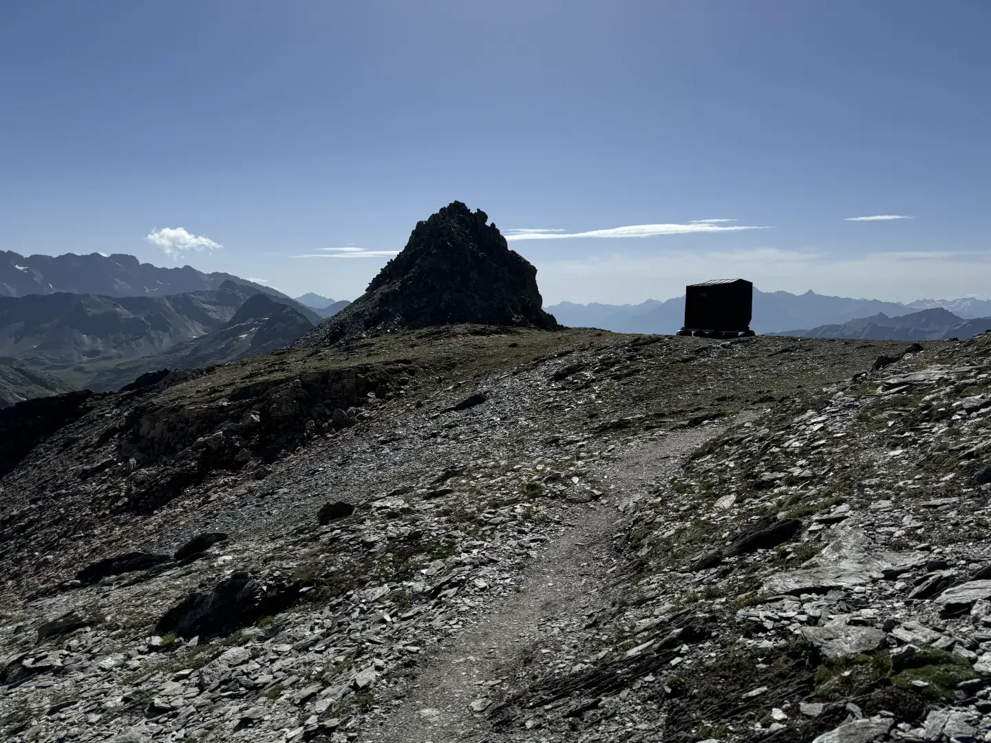
1h20' 2.06km Turn left and on the comfortable, almost level path in a few minutes you will reach the plateau on which the Canavari-Letey Bivouac (2853m) 1h25' 2.14km has been set up.
The return journey follows the same route as the outward journey 0h40' 2.14km .
Points of Interest
Collections
Photo gallery
Comments (0)
Sign in to leave a comment