Penne Nere bivouac, from Blavy


Edited by:
Massimo Martini
Updated at: 30/06/2025
Access
Lasciare lo svincolo autostradale di Aosta Est. Svoltare a destra seguendo le indicazioni per Aosta centro [center] e immettersi sulla Strada Statale . Proseguire per 2,3 chilometri fino a raggiungere una rotonda. Prendere la prima uscita seguendo le indicazioni per Saint-Christophe. Risalire la località Grand Charrière fino alla rotonda di Condemine. Prendere la prima uscita e, dopo circa 400 metri, svoltare a sinistra in direzione Chef-Lieu. Affrontare la salita che conduce al capoluogo di Saint-Christophe. Dopo circa 300 metri, passare davanti al municipio e svoltare a sinistra seguendo le indicazioni per Senin. Continuare per circa 800 metri fino alla rotonda di Rouiyes, prendere la prima uscita e proseguire lungo la strada comunale. Attraversare l’abitato di Sorreley e, dopo un chilometro, svoltare a sinistra seguendo le indicazioni per Parléaz. Proseguire per circa 2,9 chilometri fino al bivio per Blavy. Svoltare a sinistra e risalire la stretta strada comunale per circa 6,5 chilometri, attraversando il villaggio di Parléaz. Raggiungere il piccolo villaggio di Blavy, riconoscibile dalla cappella lungo la strada: subito dietro si trova un parcheggio frazionale ad uso gratuito 🅿️ dove lasciare l’auto.
Distanza e tempo di percorrenza
🕒 Tempo di percorrenza: 29 minuti
📏 Distanza: 15,6 km
Navigazione GPS
📍 Come arrivare con Google Maps
📍 Come arrivare con Apple Maps
Nota importante
Le indicazioni fornite sono state verificate alla data del rilievo dell’itinerario. Prima della partenza, è consigliabile verificare eventuali variazioni del percorso. Per ottenere indicazioni aggiornate e dettagliate, si consiglia l’uso di Google Maps o Apple Maps.
Introduction
Inaugurated on 16 July 2005, the Penne Nere bivouac has all the characteristics to become a new destination for classic hiking. Beautiful ascent, always sunny, excellent views and, not to be overlooked, a beautiful summit just a few steps away. For more itinerant hikers, this bivouac fills a small gap for the beautiful interval trail.
Description
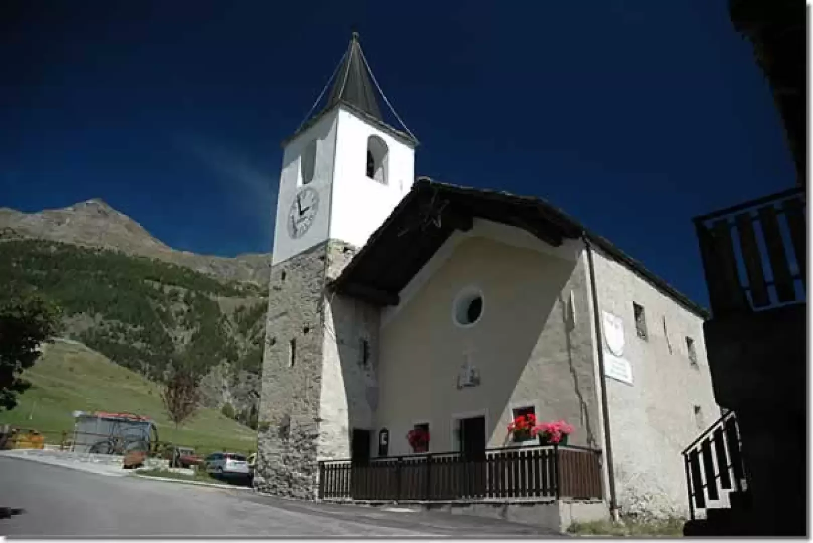
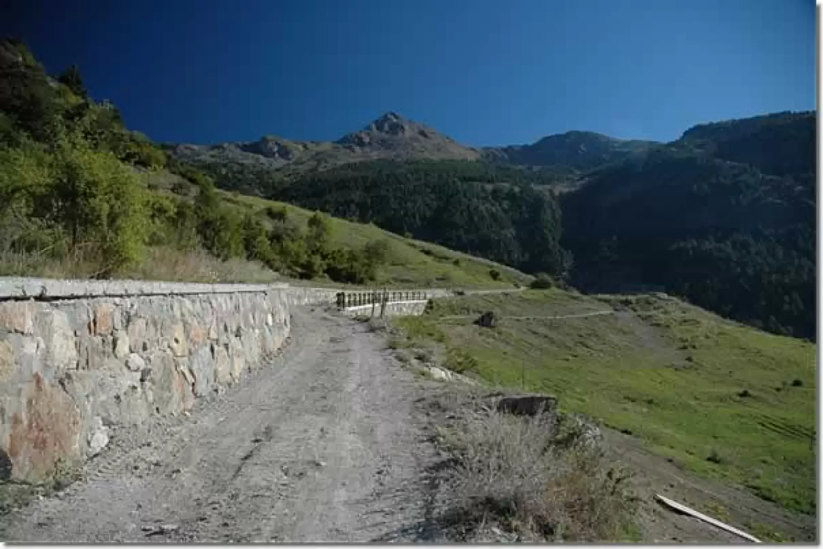
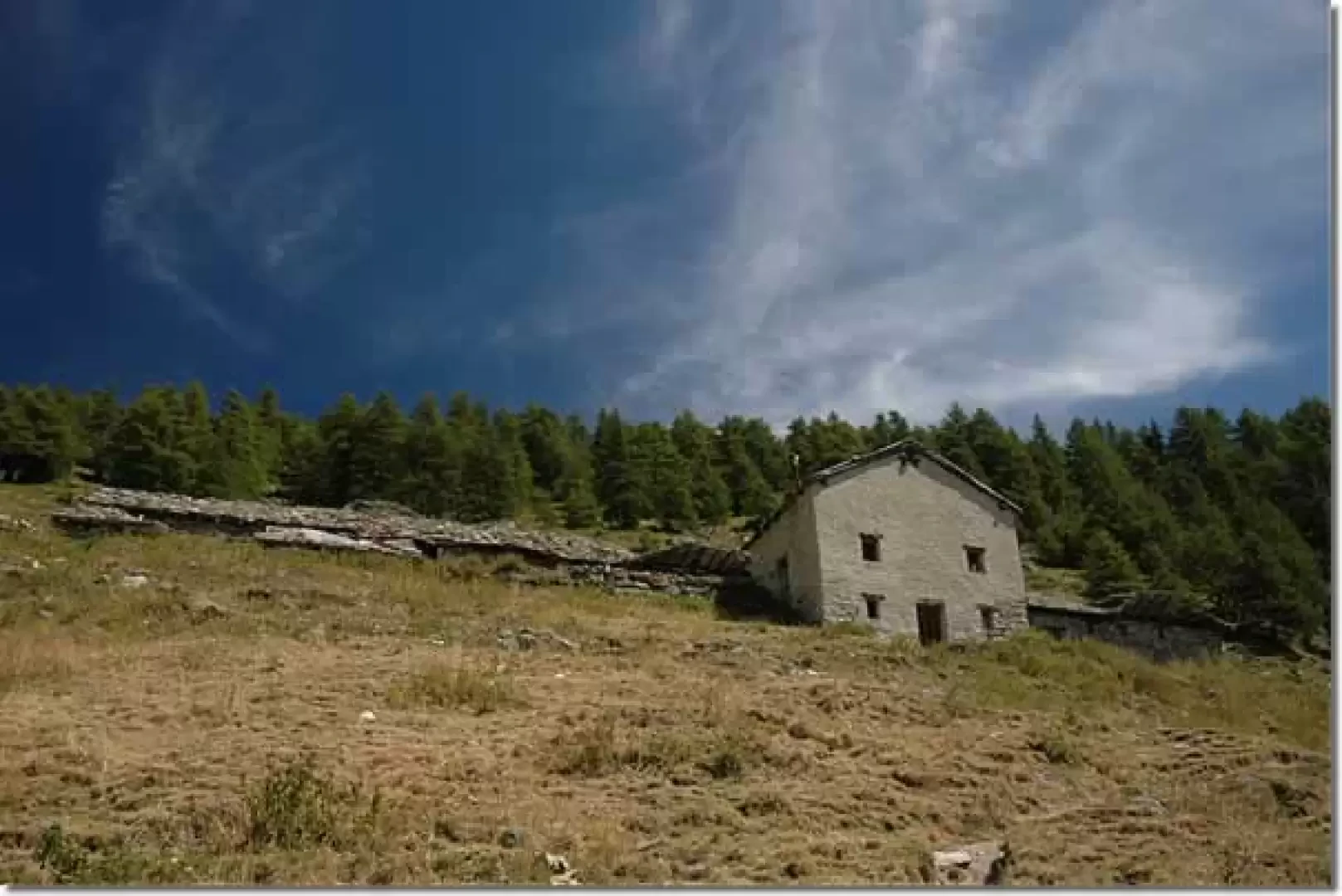
Leaving the car in the large car park near the characteristic Blavy chapel (1471 m), we ascend a small asphalted road for a few hundred metres until we come to a small signpost that tells us to turn to our right. We take a path that crosses a group of houses and, after encountering another fountain, reaches an agricultural road after a few minutes: we turn right and begin to climb it. As you follow the road, you will first come across a round irrigation pool and then, on the left, the start of the path proper (ignore the road that descends to the right towards Parléaz).
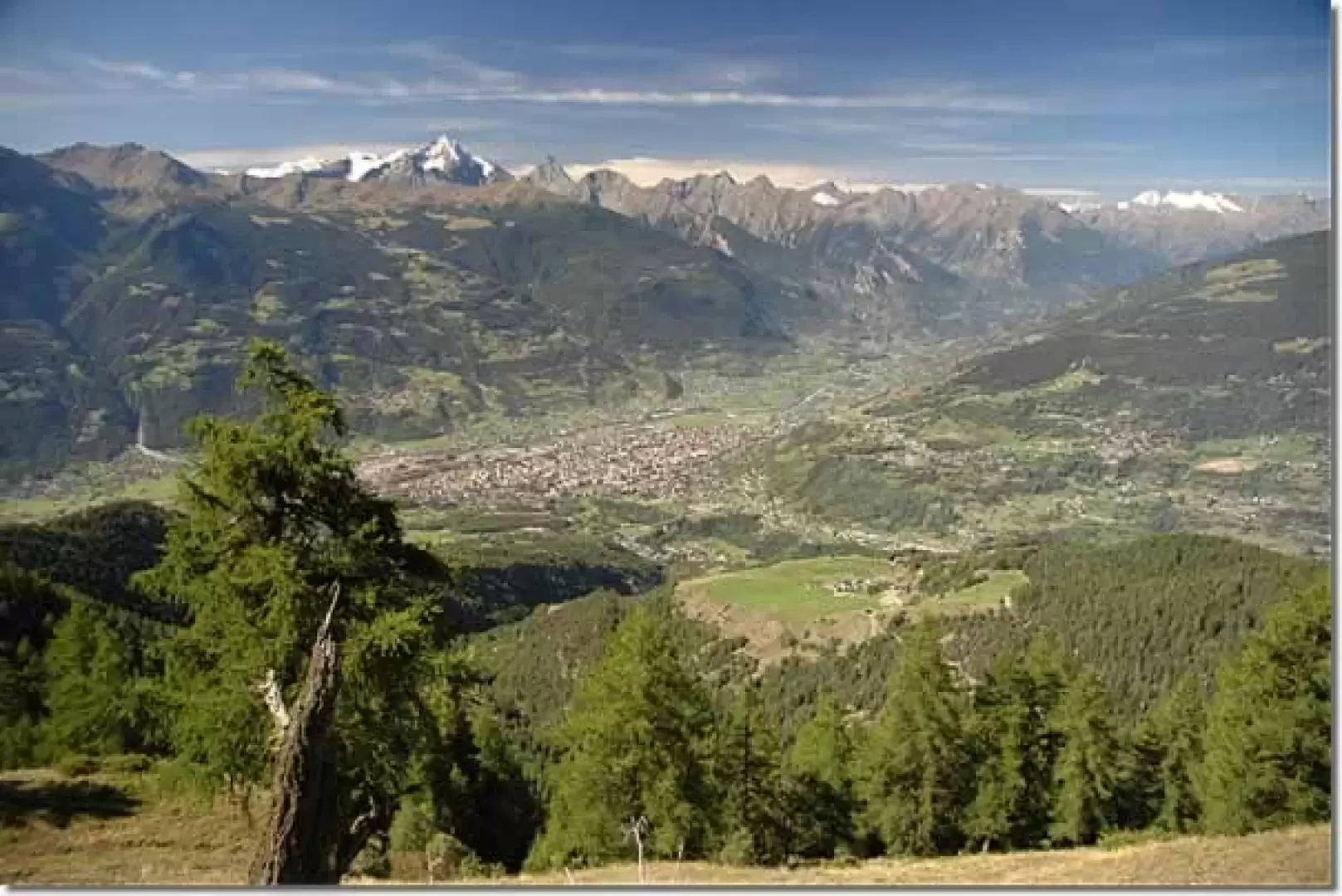
Follow the path up through the fir forest and after about ten minutes, you will cross the farm road for the first time, which leads to the Alpe di Viou and, after passing a building used as an aqueduct, continue along the road on your left, ignoring a gravel road on the right. After a couple of intersections with the farm road, take the path again on the left that enters the forest. We ascend the mule track, which at first steeply takes us up a section of the ridge and then tends to the right at a lower gradient, passing below a scree slope. After a few hairpin bends and a last diagonal stretch, after 1h00' you reach the farm road again: follow it for about fifty metres and you join the path again, which crosses the pastures and in 0h10' reaches Alpe di Viou (2078 m, 1h25'): from up here you can already enjoy a splendid panorama of Aosta and the Grivola.
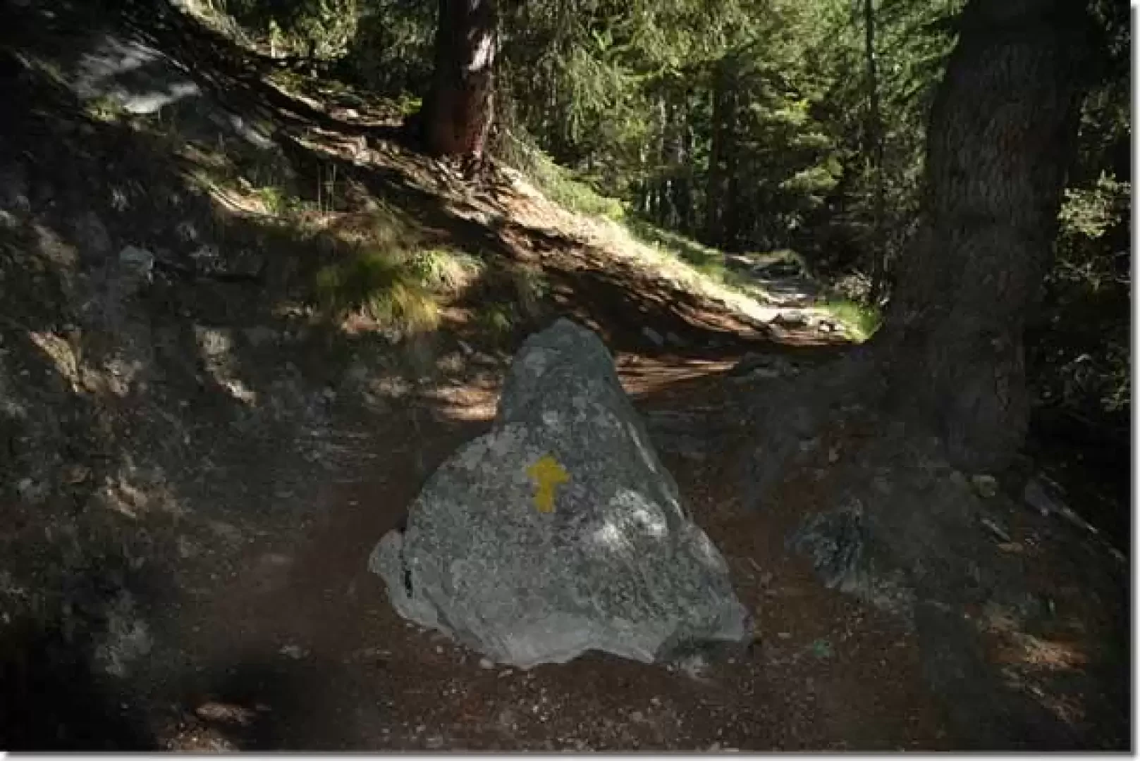
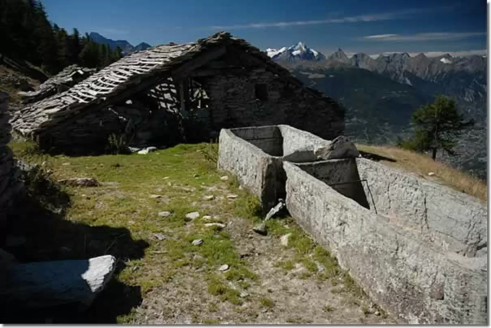
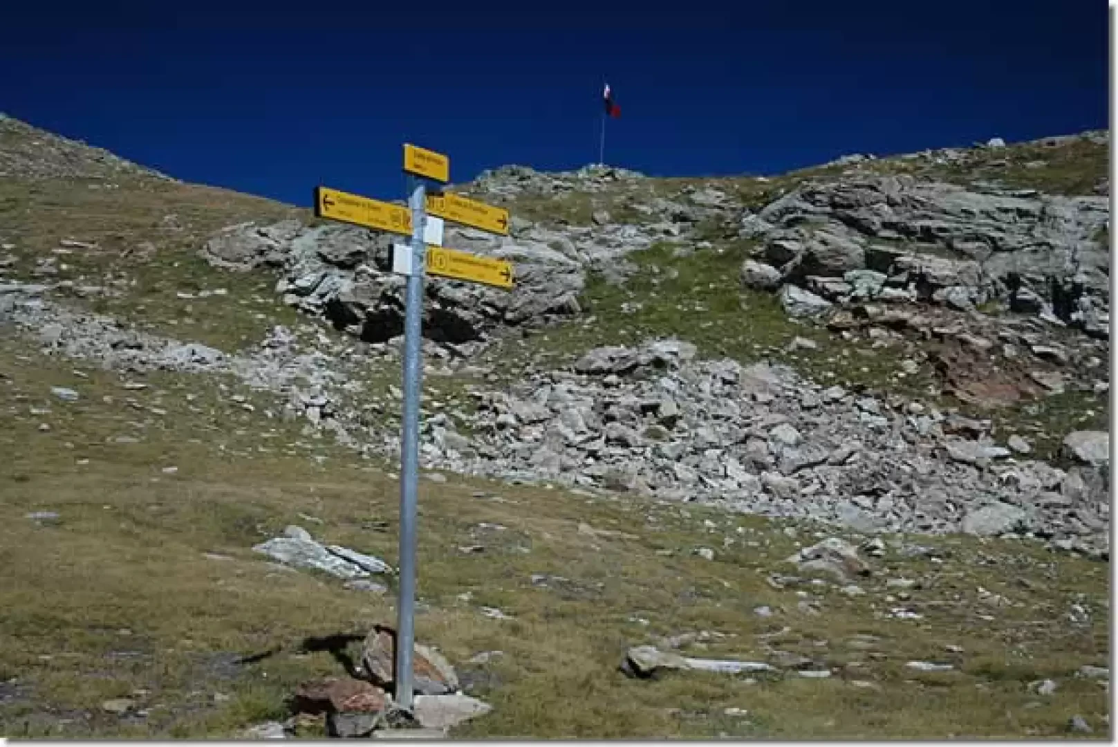
Leaving the alpine pasture, on the left of the longest building we meet the yellow arrows, we ascend the pastures above going to the right until we reach a small ridge; we follow it for a few tens of metres and then turn left towards the Tsa de Viou (2202 m, 1h45'): note a very characteristic fountain.
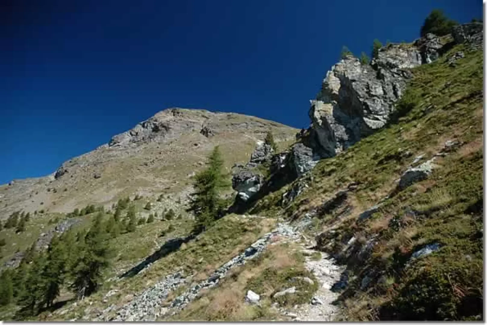
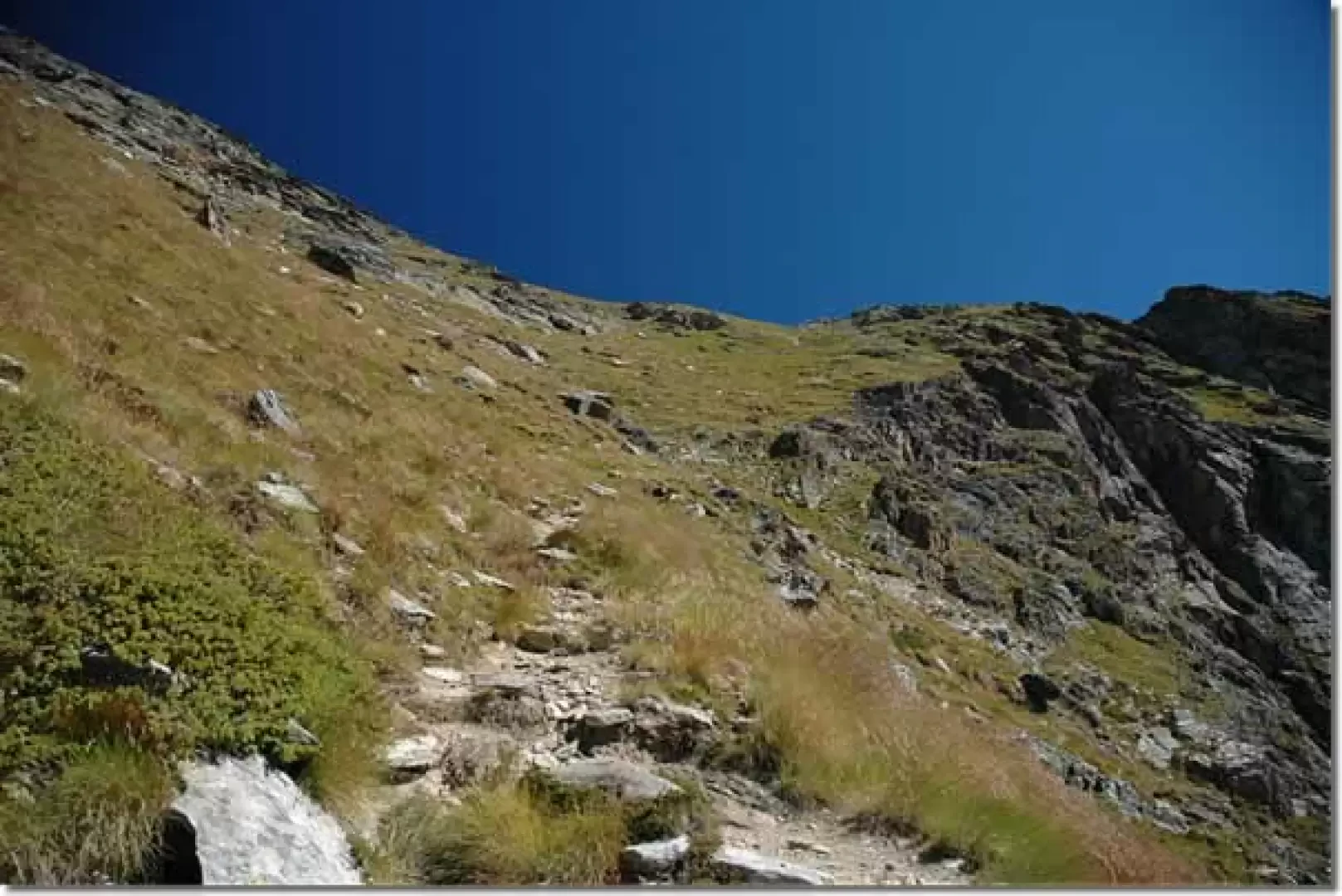
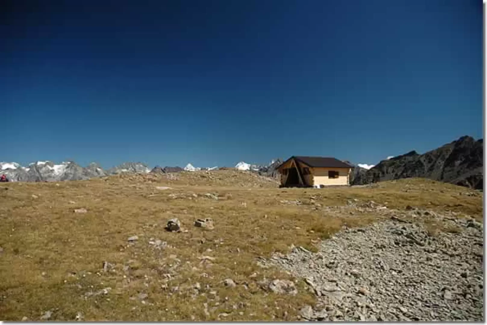
We now head in the direction of the Becca, which is now clearly visible above us, following the path that, without an excessive incline, crosses the pastures among patches of rhododendron (Rhododendron ferrugineum) and bilberry (Vaccinium myrtillus) until we reach the pass. From here, the trail definitely changes slope, crosses a debris drainage and climbs up the south-west ridge of the Becca, first with a few hairpin bends and then tending to the right as far as the rounded summit of the Col de Viou (2698 m, 2h55). From the pass, head for about a hundred metres in the direction of the flag that anticipates the bivouac: you will eventually reach a beautiful plain where the Penne Nere Bivouac (2730 m, 3h00') lies, immersed in a fabulous panorama.
The return journey is along the same route as the outward journey.
Photo gallery
Comments (0)
Sign in to leave a comment