At the Pont-Saint-Martin motorway exit, follow the for 750m (750m, 1'). At the roundabout, take the third exit and join the . Continue on the for 450m (1.2km, 2'), then turn right onto Via Gressoney and continue on the for 26.8 km (28 km, 40 mins), passing through the villages of Lillianes, Fontainemore, Issime, Gaby and Gressoney-Saint-Jean. Turn right to stay on the for a further 6 km (34 km, 48'), then carry on along the for 3.1 km (37.1 km, 52 minutes) to Gressoney-La-Trinité. Keep to the right on the for a further 1.2 km (38.2 km, 54') until you reach Staffal.
Car park
In Staffal, opposite the Gabiet cable cars, there is a paid car park 🅿️. This is the starting point of the route.
Access by public transport
The village is served by the Pont-Saint-Martin–Gressoney bus route operated by Autolinee Vita Group (V.I.T.A. S.p.A.). The relevant bus stop is Staffal-Anderbatt. The service operates all year round, with different timetables depending on the season; those currently available are for the summer period (from 11 June to 9 September 2026). To view the latest timetables, please refer to Vita Group’s official summer timetable.
The directions provided were verified on the date the route was mapped. Before setting off, we recommend checking for any changes to the route or road conditions. For up-to-date information, please consult Google Maps or Apple Maps.
Introduction
A route that follows the Lys Valley upstream from Staffal to the glacial edges of the Alta Luce, passing the Remo Passera Bivouac.
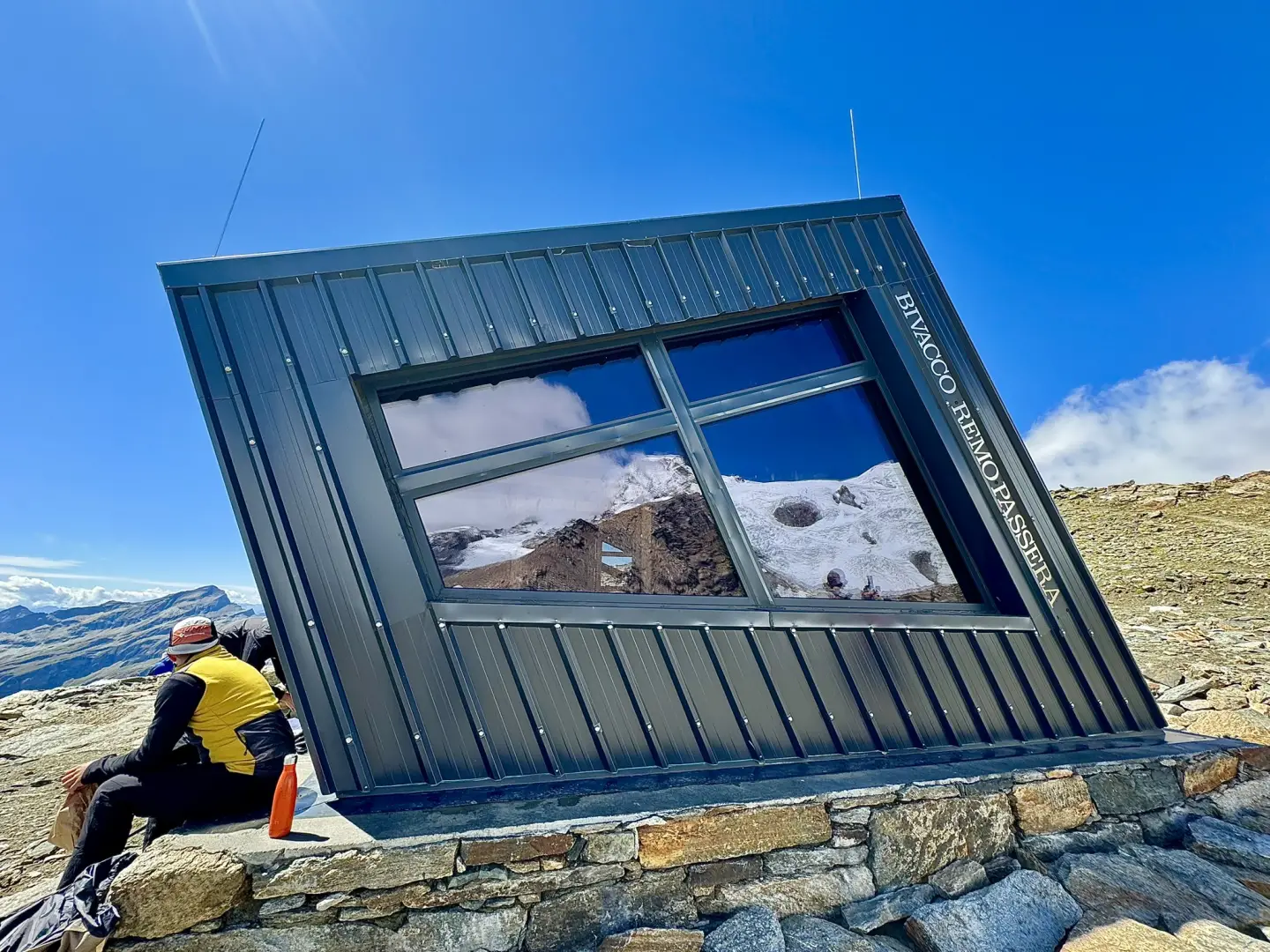
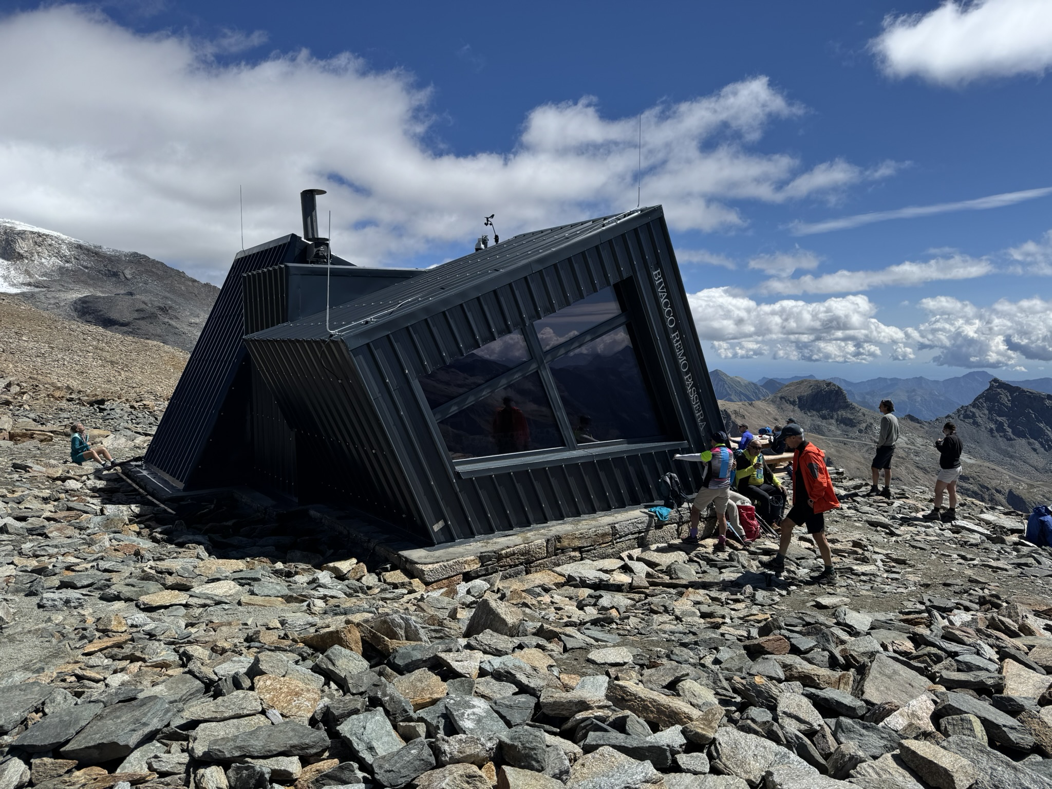
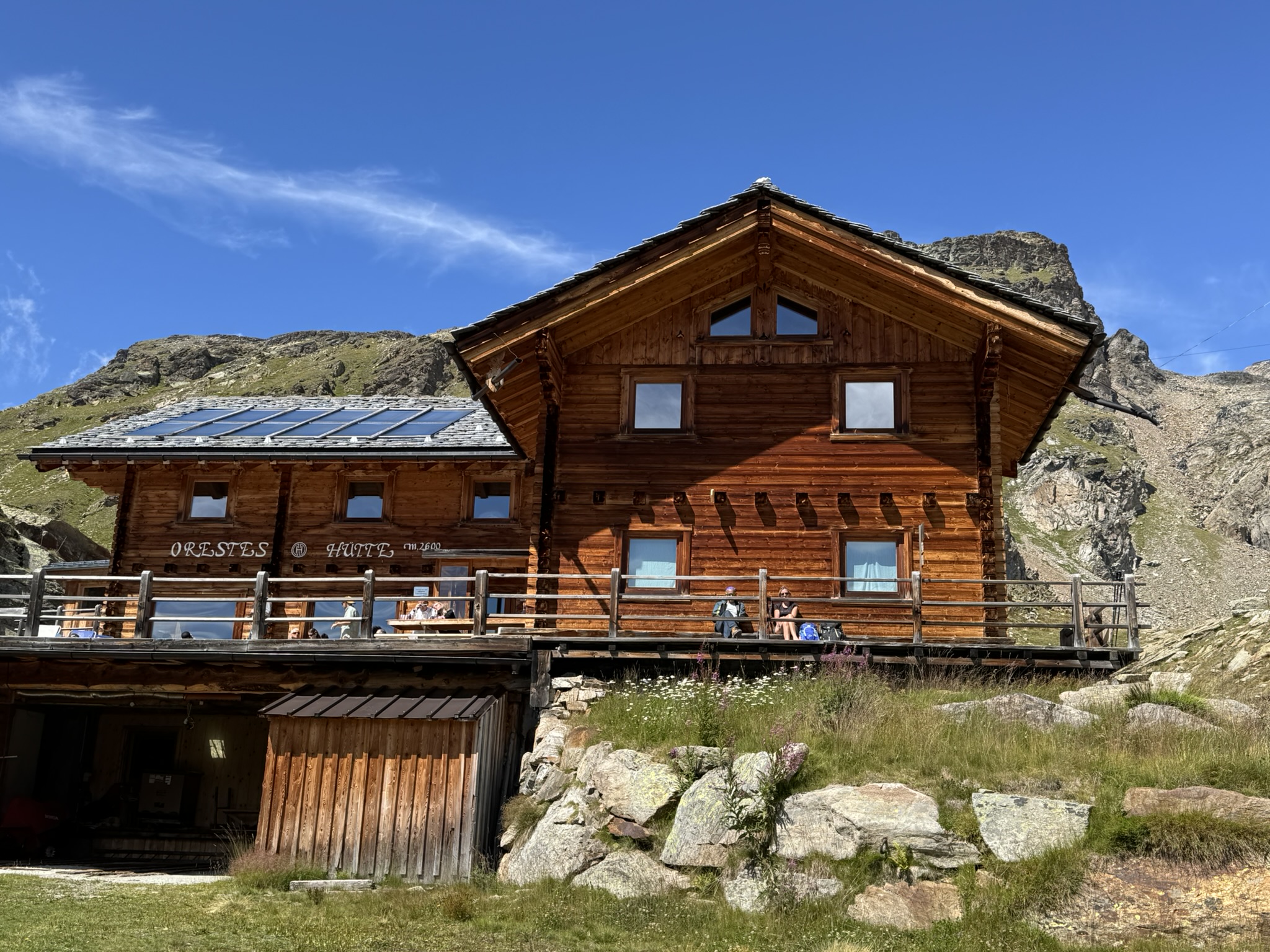
The route follows the course of the Lys stream through larch forests and patches of green alder, before opening out onto a small valley of morainic origin, shaped by the ancient expansions of the Lys Glacier, with the Lyskamm range standing out in the background. Once past Colle della Salza, the route continues over scree to the bivouac, which was opened in July 2026 to replace the previous structure: energy self-sufficient and offering bookable beds, it provides the opportunity for an overnight stay at altitude with views of the Monte Rosa glaciers.
The best time for this hike is late summer, when the sections exposed to the spring thaw are free of residual snow. The route requires caution on the final stretch, where the scree-covered terrain and some sections equipped with footrests and handrails demand a sure footing; overall, however, it remains a route suitable for a fit hiker, with no real technical difficulties.
Description
0h00'0.00km
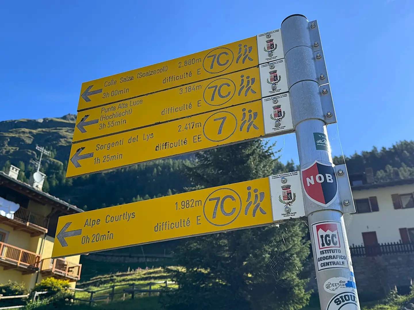
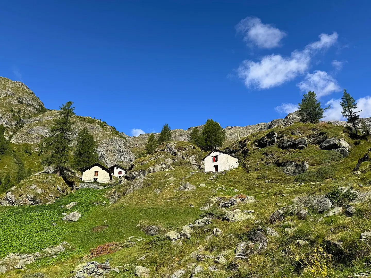
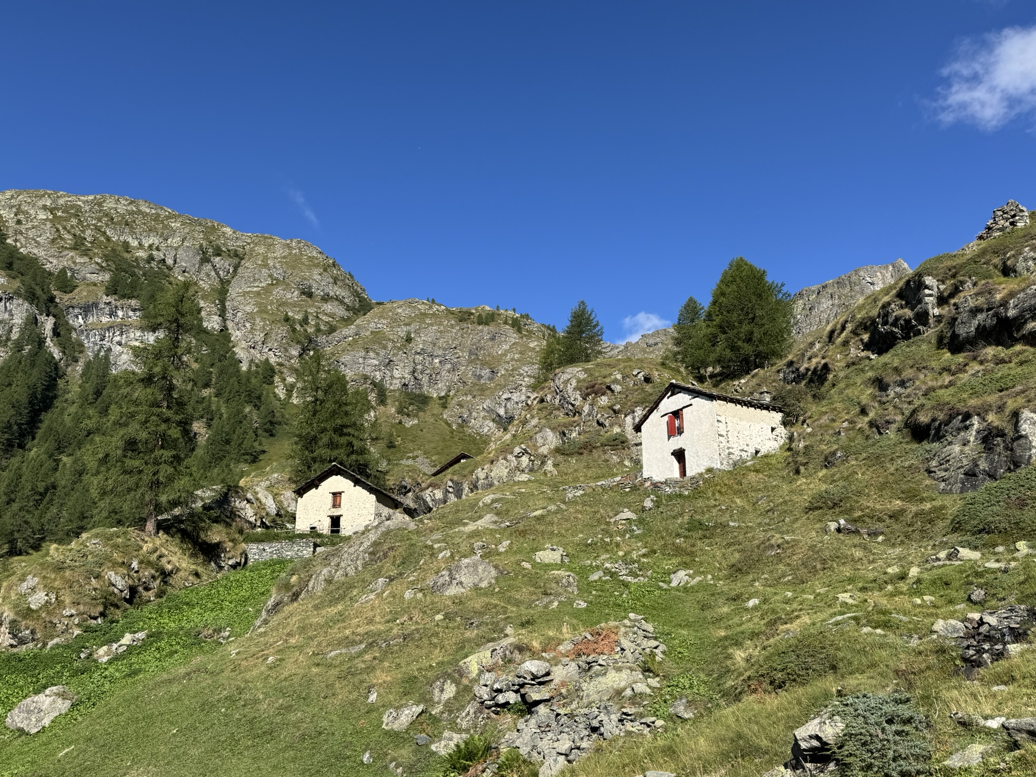
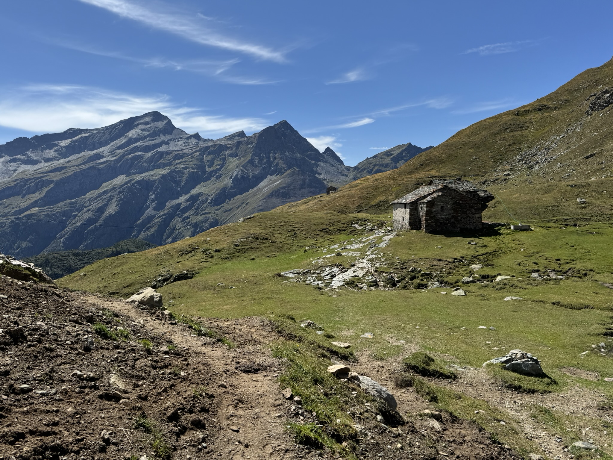
From the car park, follow the road uphill to its end and, just before the small bridge over the Lys stream, take the farm track on the left, which runs on the left bank of the stream, following the signpost. Follow the stream to the end of the road, then take the path on the right which climbs up the valley alongside the stream. As you approach a gorge, enter the larch forest (Larix decidua) and climb a short section of the valley floor, with views of the rocky faces of the Rothorn. Emerge from the woods and, with the mountain pasture now in view, climb the final stretch up to the huts of Alpe Cortlys (1,993 m), then continue briefly to the grassy hillock situated slightly higher up, from which you can look out over the valley below.
0h20'1.34 km (171 m elevation gain) (5 m elevation loss)
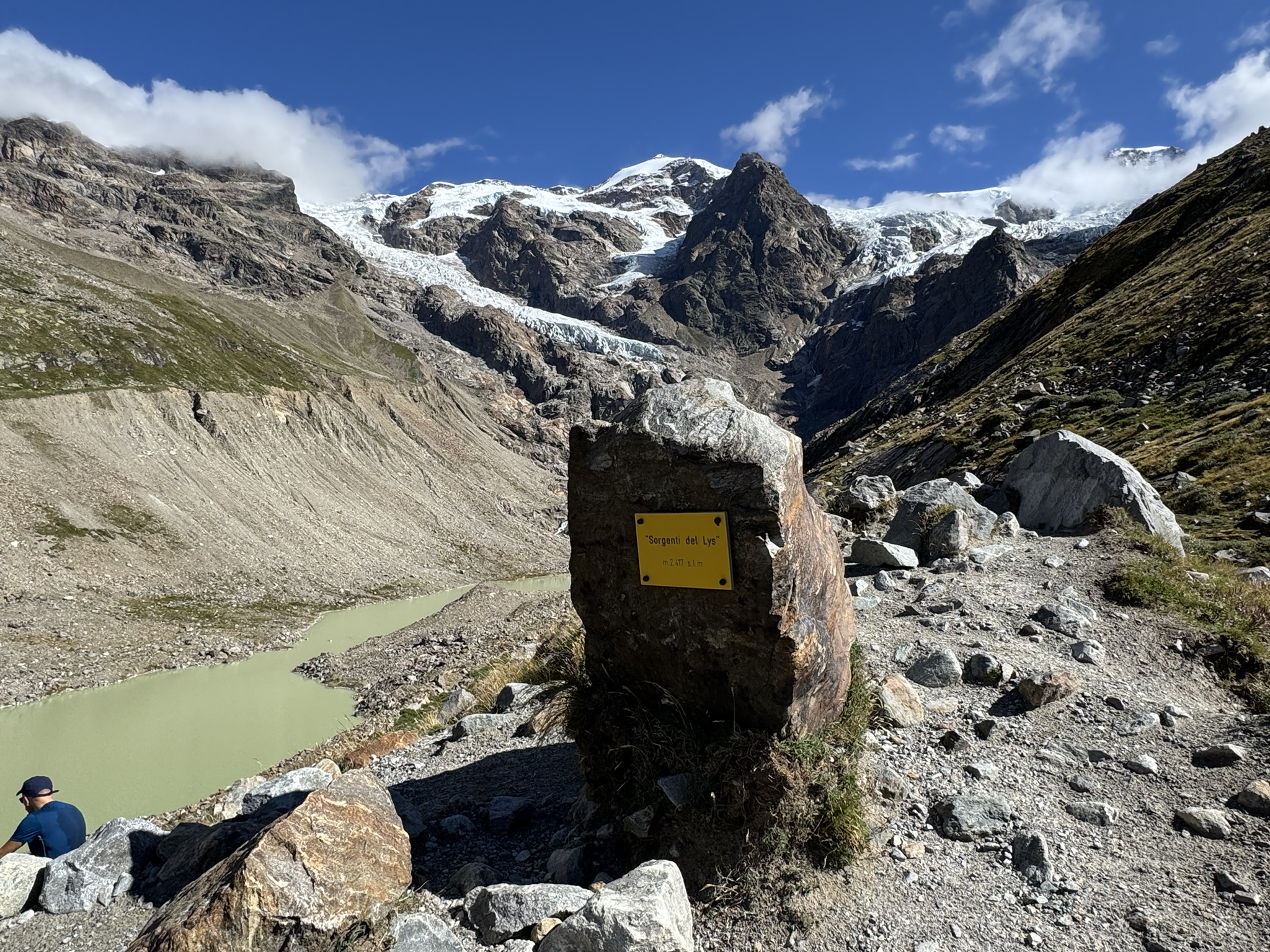
Continue for a few metres across the pasture, then re-enter the woodland and climb a steep section until you reach the foot of a rock face. Emerge from the woods once more and descend through patches of green alder (Alnus alnobetula). As the view opens up, you’ll see the silhouette of the Lyskamm range ahead. Then take the paved path that leads into a moraine valley, leaving the start of the ridge – formed during the ancient expansions of the Lys Glacier – on your left. Continue on a gentle slope until you reach a junction, where there is a memorial stone with information boards (2,176 m).
1h00'2.84 km (525 m ascent) (27 m descent)
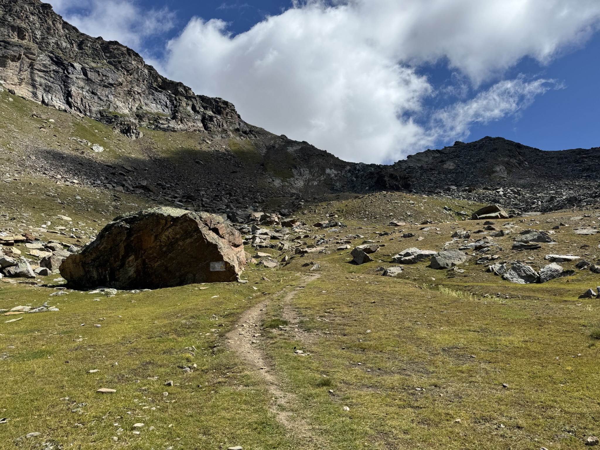
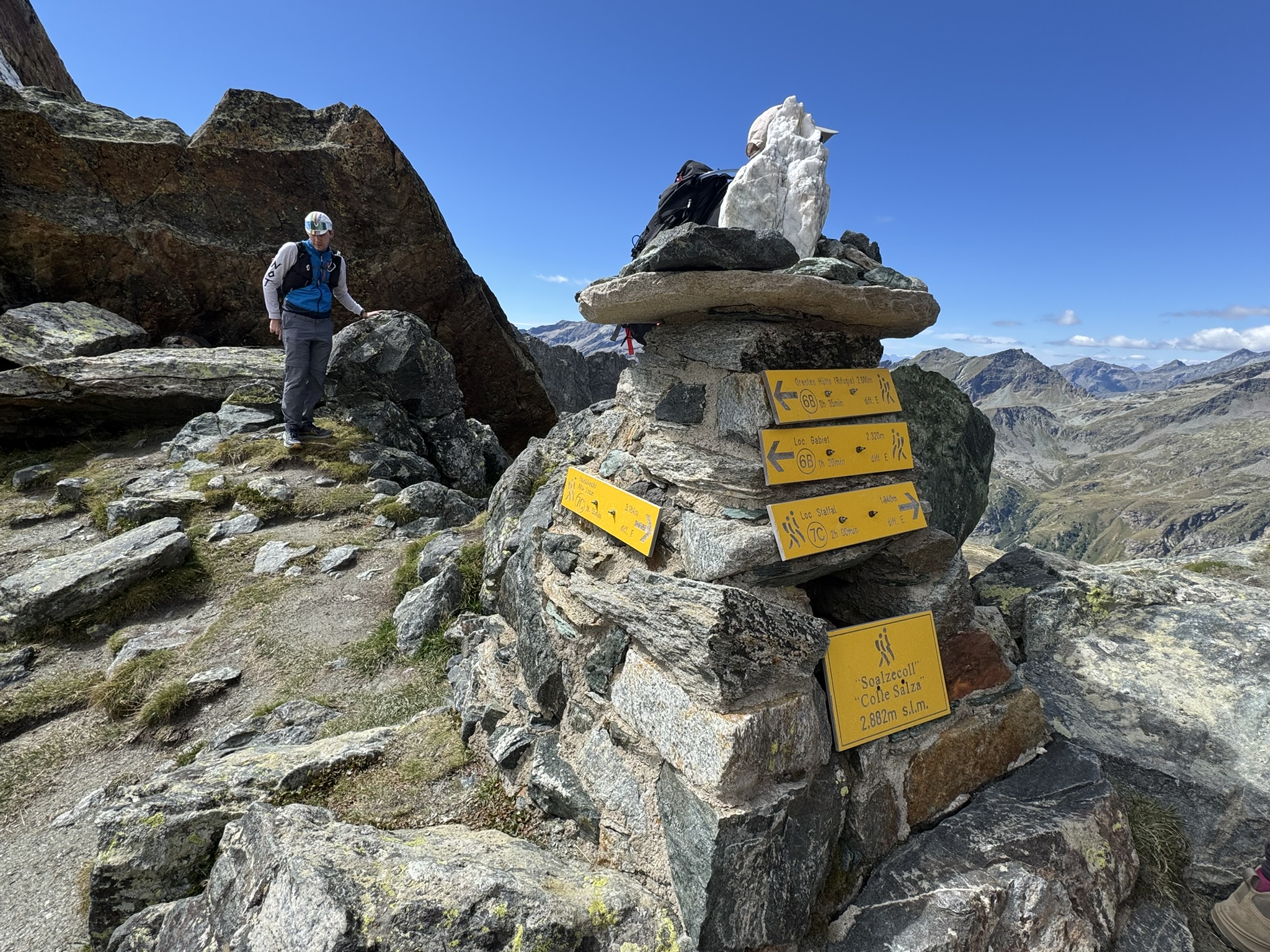
Turn left, following the signposts for Colle della Salza and Alta Luce. Climb up the western slope of the pass, taking a few short turns through the alpine meadow, dotted with common juniper bushes (Juniperus communis), until you reach a short, level stretch. Follow a long diagonal route to the left until you reach the foot of a grassy slope. Navigate a few bends and reach the ruins of Undro Soalze (2,323 m). Continue with wide turns until you reach a plateau, from which you can see the outline of the pass to the left. Cross the grassy plateau, then enter a rocky and scree-covered area. Go round a few boulders and climb the steep final section of the slope, using some metal platforms fitted with handrails in the final stretch, until you reach Colle della Salza – Soalzecoll (2,881 m).
3h00'4.19km
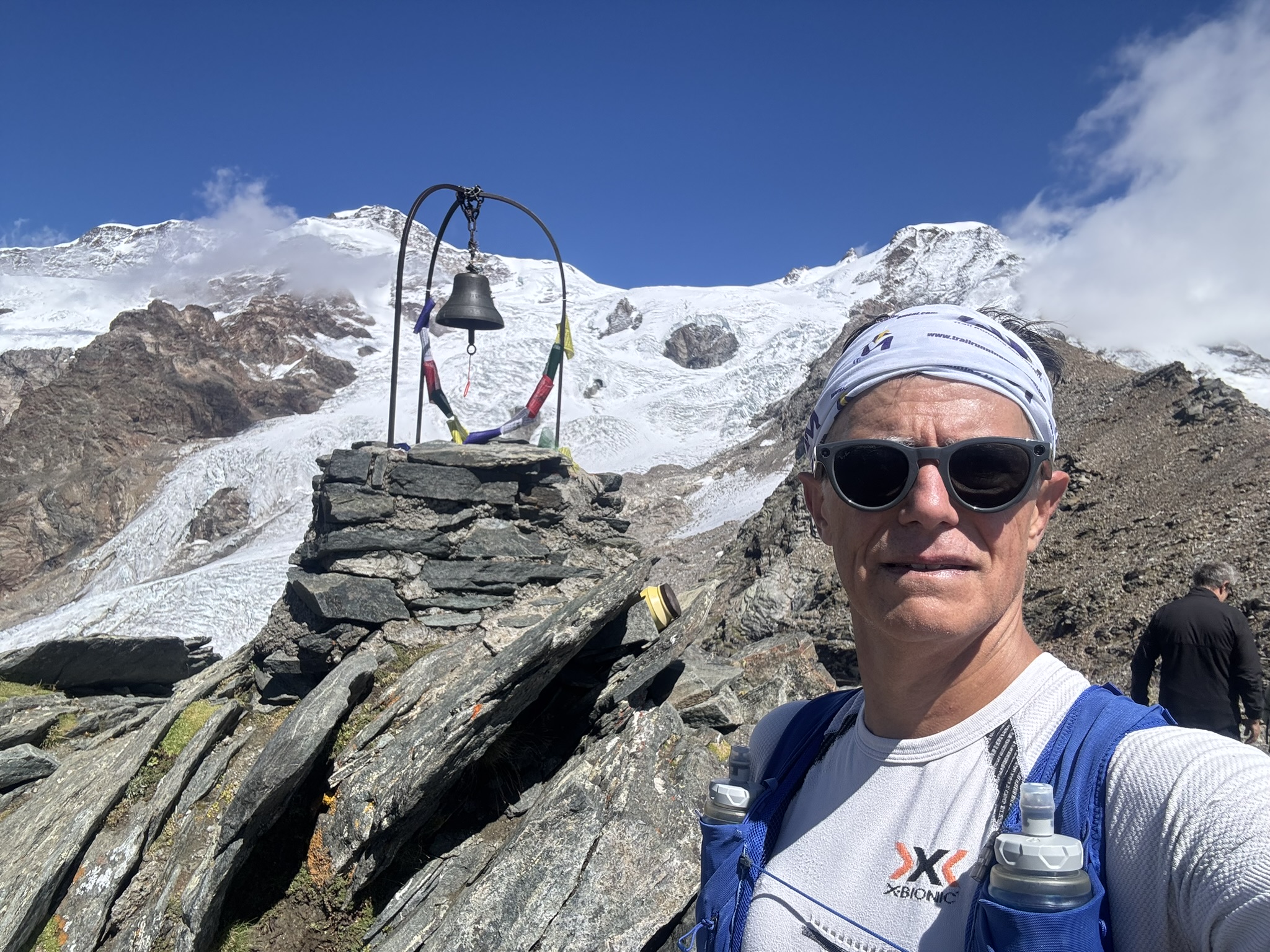
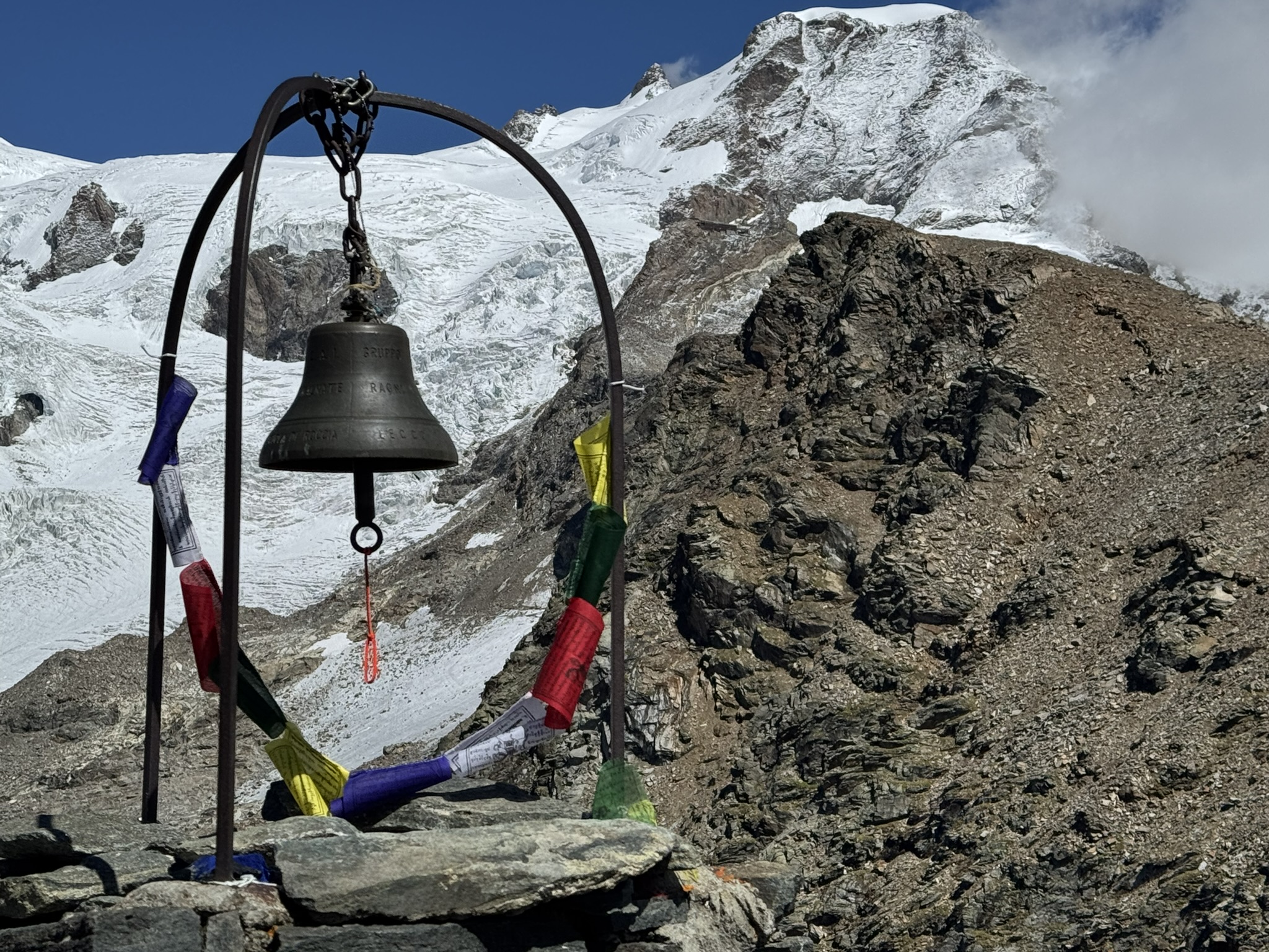
Continue over scree, tackling a section with a steep gradient. Climb up the scree slopes, skirt past the Passera Bivouac (3,150 m) and make your way to the summit bell of Alta Luce (Hochlicht). A little further down, you’ll find a wooden platform that can be used as a rest stop. Walk the final few metres to reach the summit of Alta Luce (3,162m) [3h55’T3] 6.37 km (1,409 mD+) .
The return journey follows the same route taken on the ascent. Take care on the scree sections during the descent [2h30’T3] 6.37km (1,409mD-).

Comments (0)
Sign in to leave a comment