Big Bench #440, ring from Promiod


Edited by:
Massimo Martini
Updated at: 08/10/2025
Access
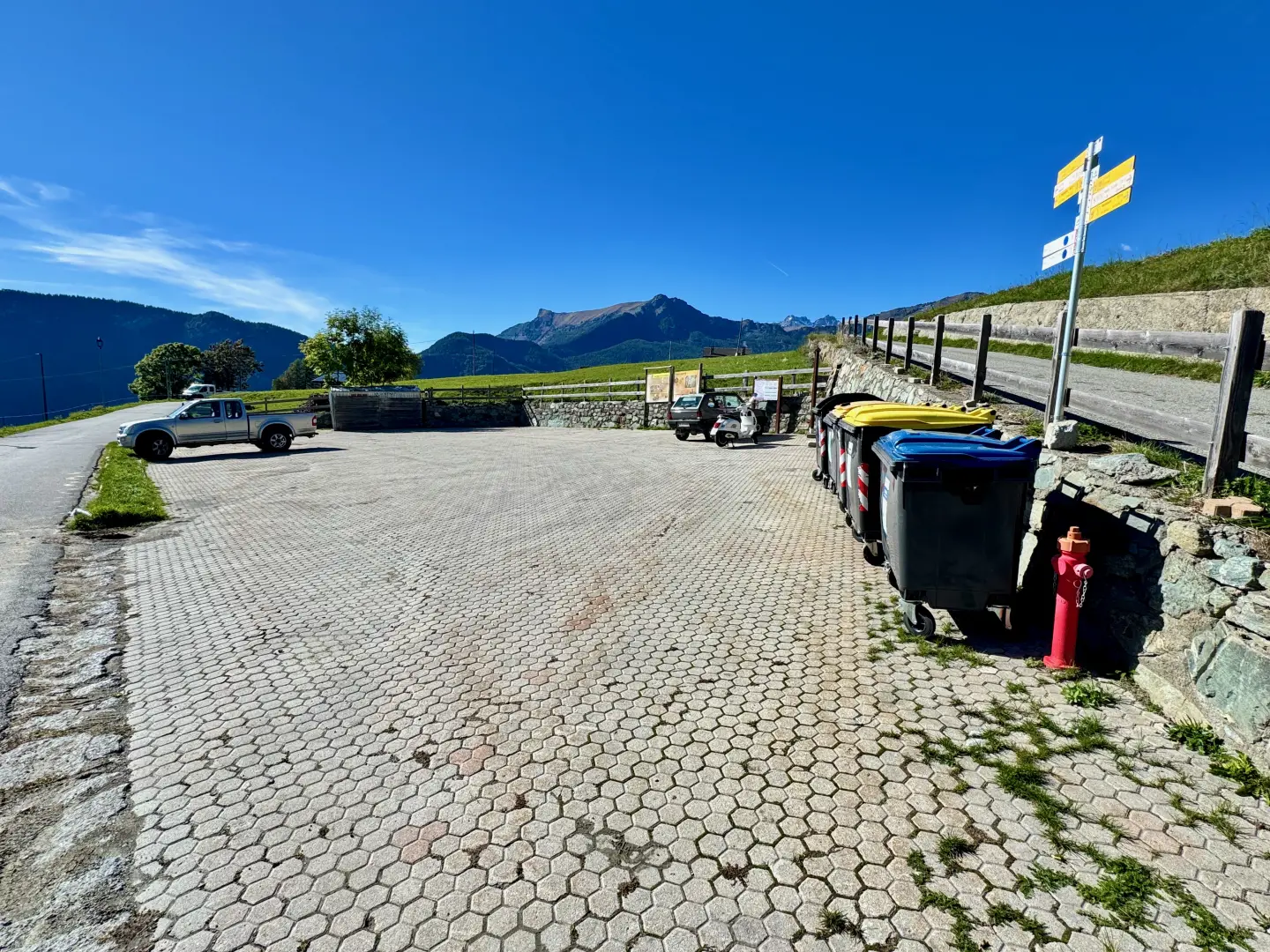
Leave the motorway junction at Châtillon, turn left and proceed for approximately 300 metres until you reach a roundabout. Take the third exit and continue straight on Via E. Chanoux. Go through the centre of Châtillon for about 600 metres, then turn slightly right onto Via Menabreaz. Follow Via Menabreaz for 450 metres until you reach the roundabout characterised by a reproduction of the Matterhorn. Take the second exit and take the regional road of Valtournenche. Continue on this road for about 7.6 kilometres until Antey-Saint-André. At the entrance to the village, turn right and take the regional road in the direction of La Magdeleine. Drive up the regional road for about 4.6 kilometres until you reach the junction for Promiod. Turn right and follow the communal road for 1.4 kilometres, until you come to a large free car park on the left 🅿️ where you can leave your car.
The starting point of the itinerary cannot be reached by public transport, so it is necessary to use a private vehicle.
Distance and travel time
🕒Travel time: 23 minutes
📏 Distance: 14.9 km
GPS navigation
📍 How to get there with GMaps
📍 How to get there with Apple Maps
ℹ️ Important note
The directions provided were verified on the date of the route survey. Before departure, it is advisable to check for any changes to the route. For up-to-date and detailed directions, we recommend the use of Google Maps or Apple Maps. satellite, such as Google Maps or Apple Maps, to ensure the most accurate and safe route.
Introduction
The Big Benches, the large, colourful benches of the Big Bench Community Project, have become a popular attraction in many alpine and hillside locations in recent years, created with the intention of offering visitors a new vantage point on the landscape. Positioned in panoramic locations, these installations re-propose the perspective of "looking at the world through different eyes", inviting visitors to slow down their pace and take in the vastness of the surrounding environment.
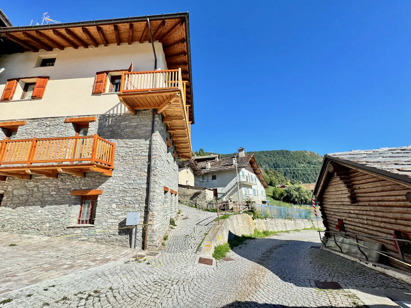
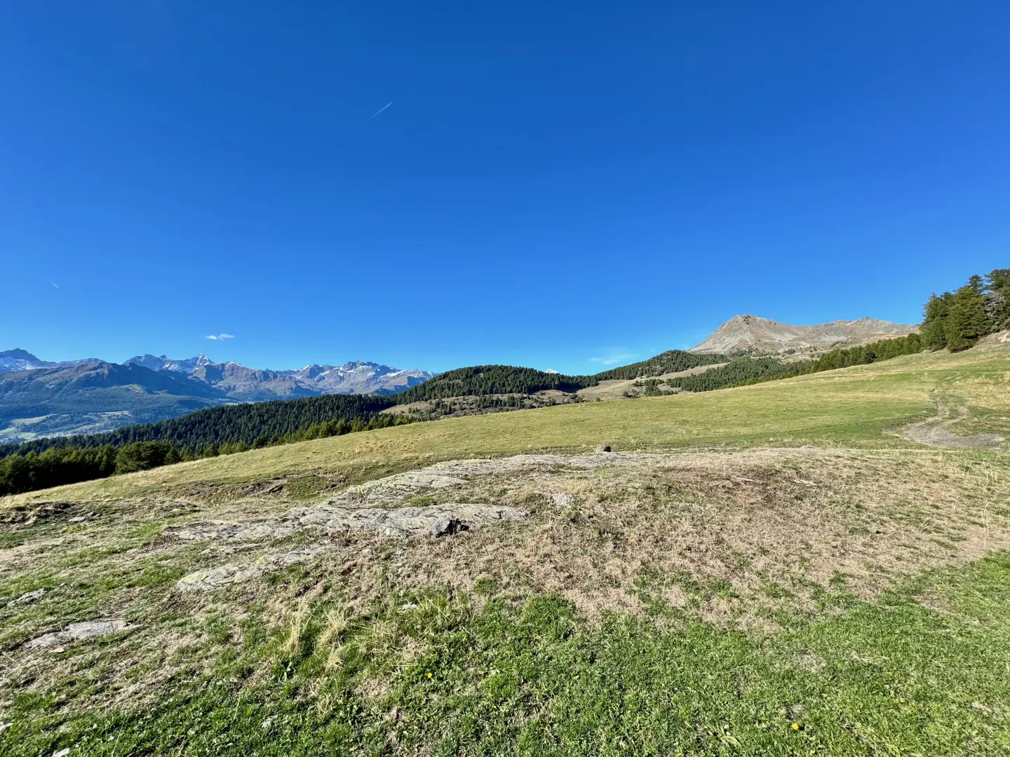
The itinerary described here takes place in the territory of Promiod, a hamlet of the municipality of Châtillon, located on the sunny slope overlooking Valtournenche. The itinerary first crosses the traditional alpine village with its chapels and fountains, and then enters the pastures and coniferous woods that characterise the Vallon de Promiod. The environment alternates between sections of old mule tracks and farm roads and paths, gradually ascending to the high pastures of Francou, from where wide views of the surrounding peaks unfold: in the foreground Mont Tantané, and in the background the great mountains of Valtournenche, including the Dent d'Hérens and the Matterhorn.
The point of arrival is Col Serena, a wide grassy saddle chosen as the site of the local Big Bench: from here, the gaze embraces a panorama that bears witness to the strong Alpine identity of this slope, amidst traces of rural life, forest environments and evocative landscape openings towards the side valleys.
Description
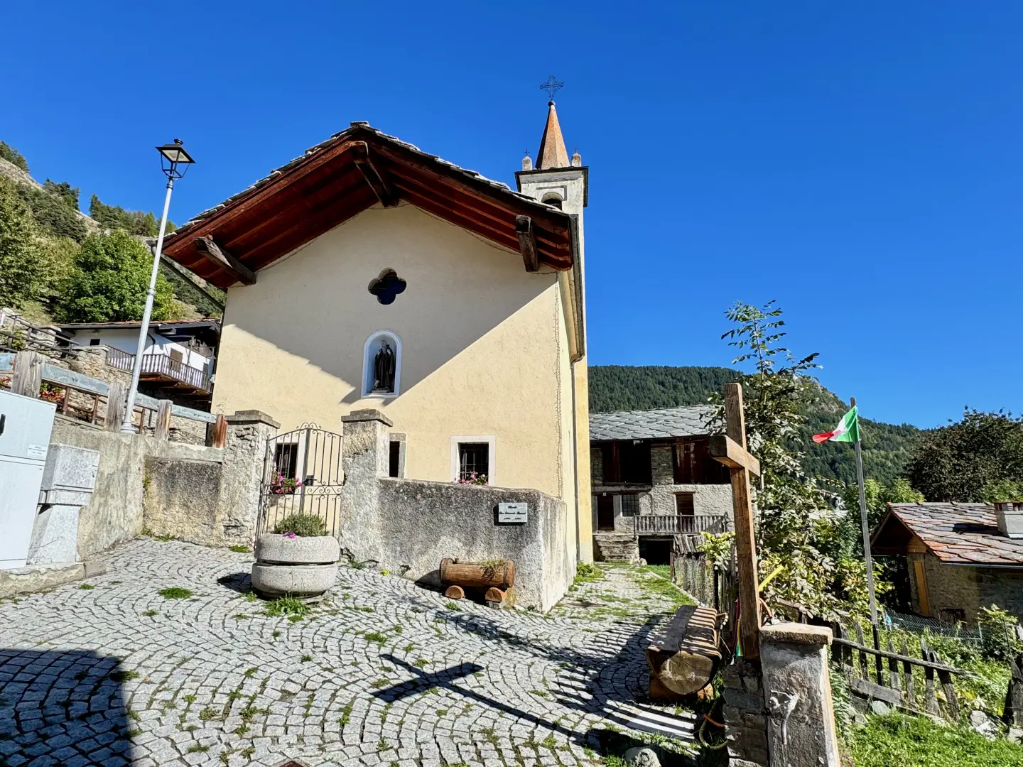
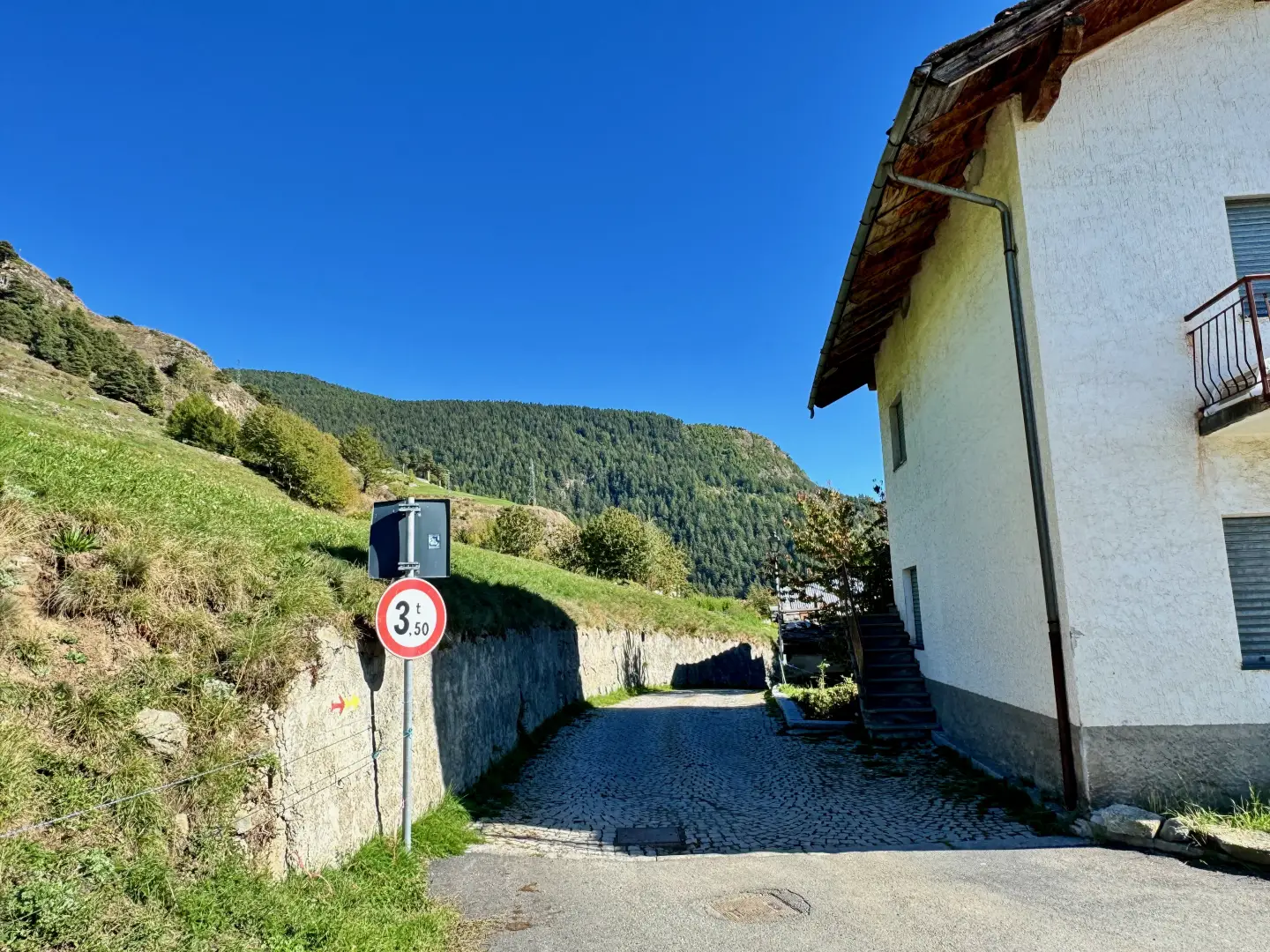
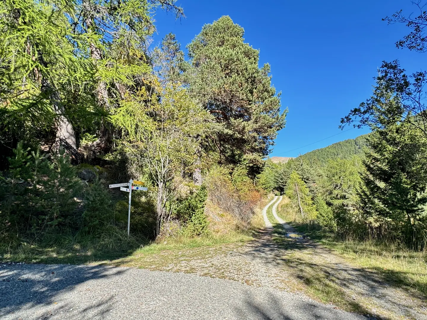
0h00' 0.00km From the car park, proceed in a southerly direction and enter the village of Promiod. After a short descent, you first reach the chapel dedicated to Saint-Antoine (💧 fountain on the right). A little further on, after a short ascent, you come to a fork with the start of the path (💧 fountain at the beginning of the path).
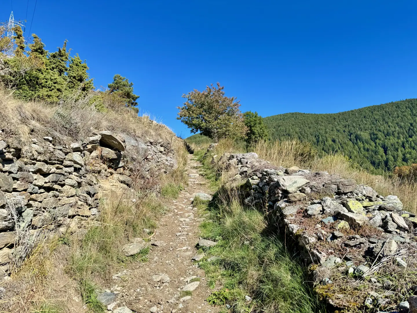
0h03' 0.17km
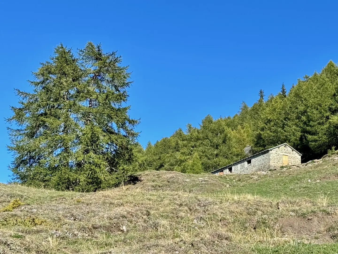
Follow the path that leaves the last houses of Promiod and crosses the meadows, bordered by a wooden fence, until it crosses the farm road a little further up. Continue along the beautiful mule track until reaching the farm track near a wooden cross (1,601m), which you will follow for an extended stretch. Continue on the dirt track that crosses the left orographic slope of the Vallon de Promiod, leaving the first pastures to enter the charming coniferous forest of Praz Carral. The road continues with a steady ascent and passes the ruins of Boettes (1,722m) before reaching a fork at an altitude of 1,736m.
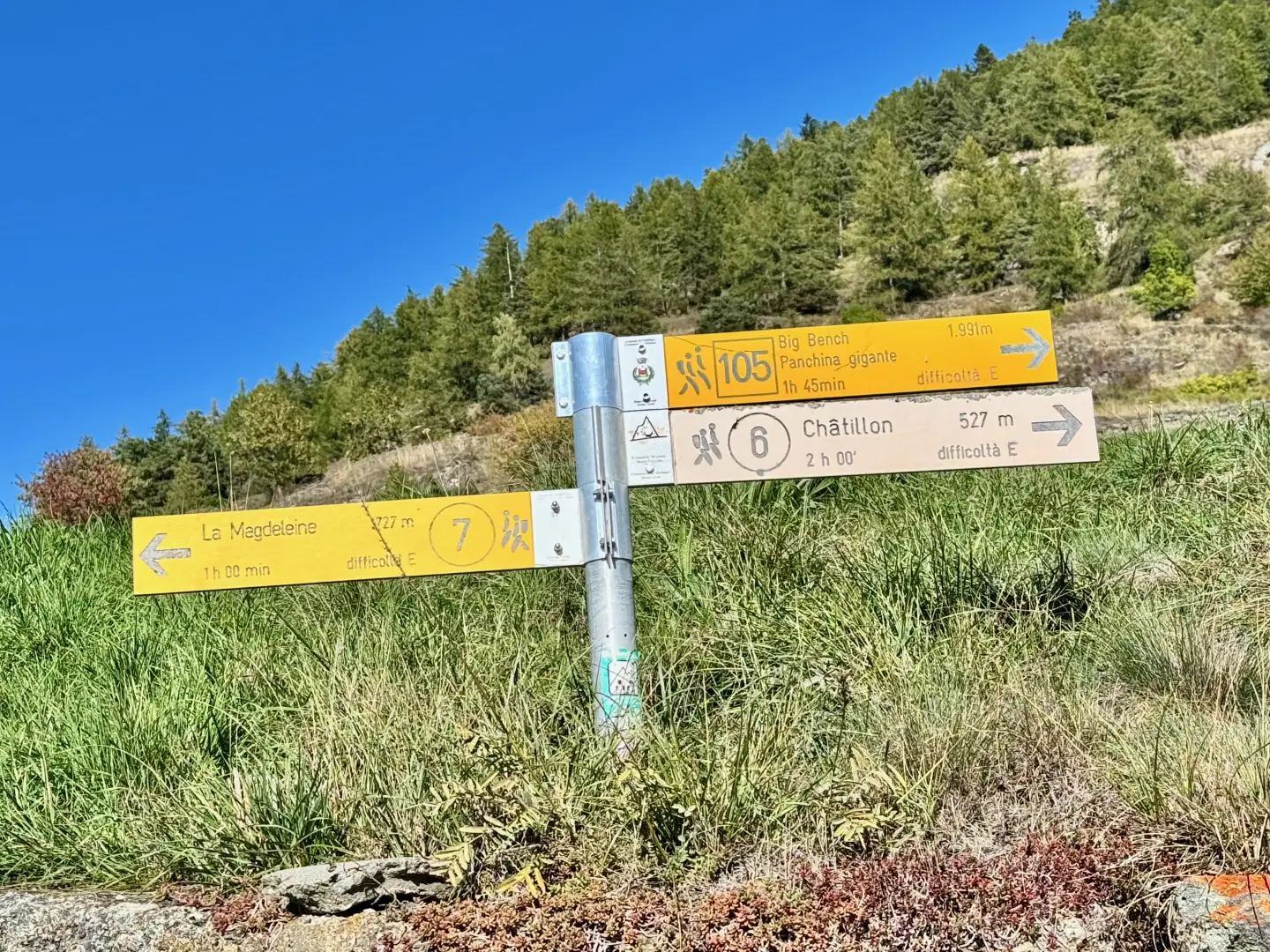
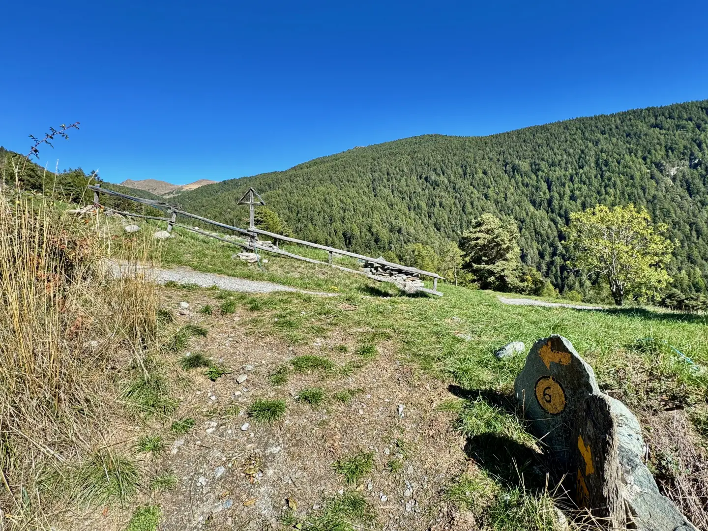
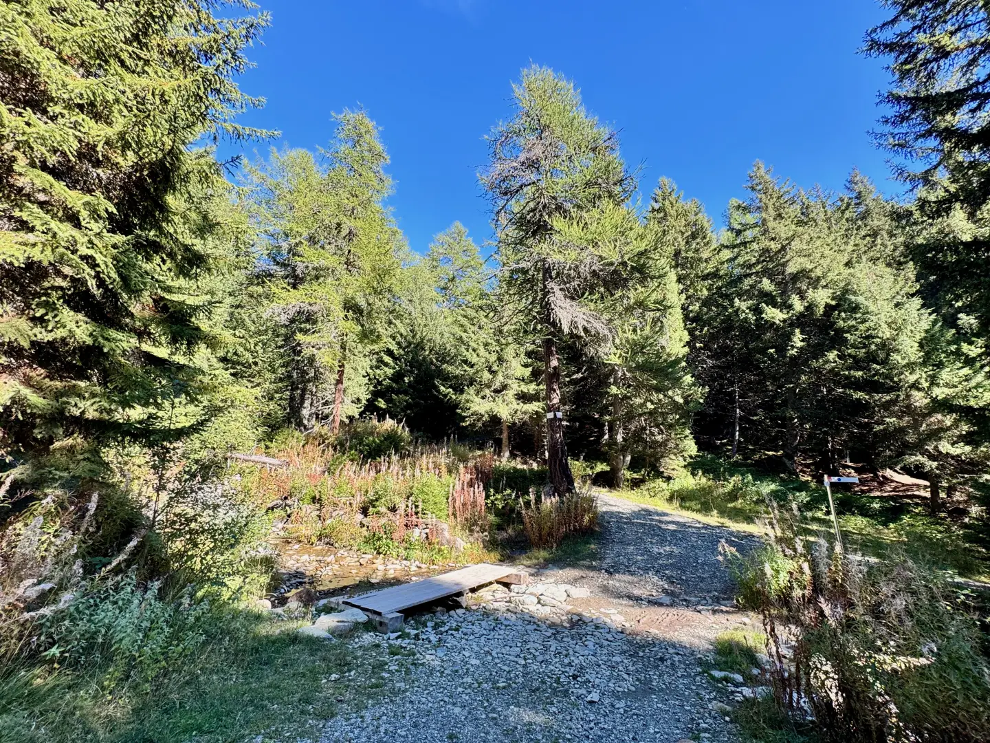
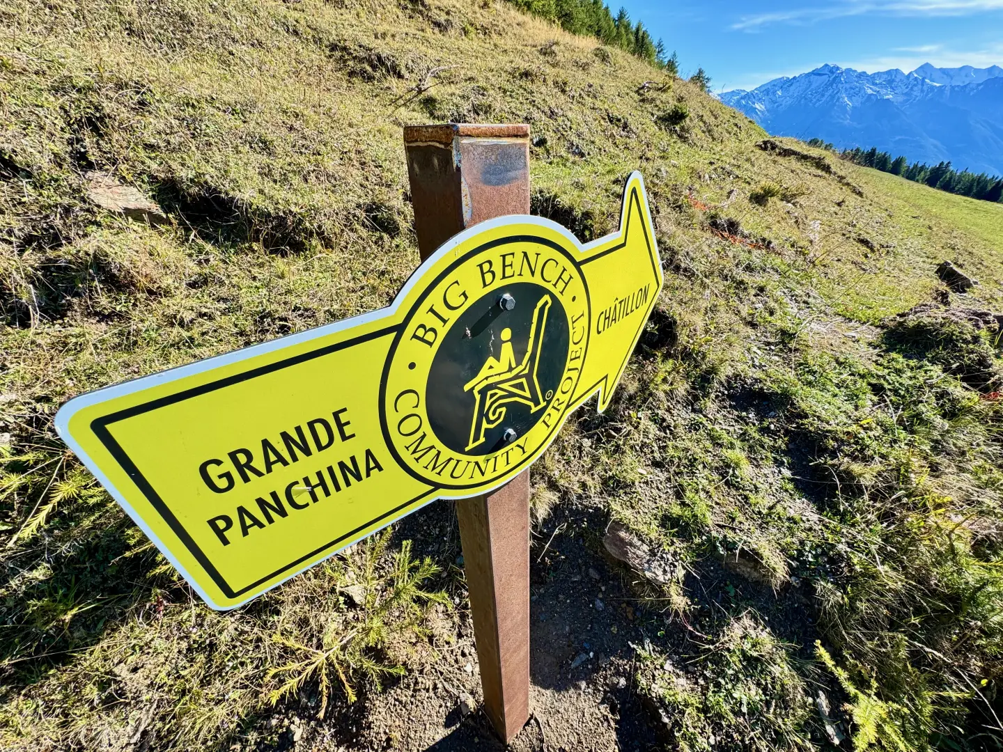
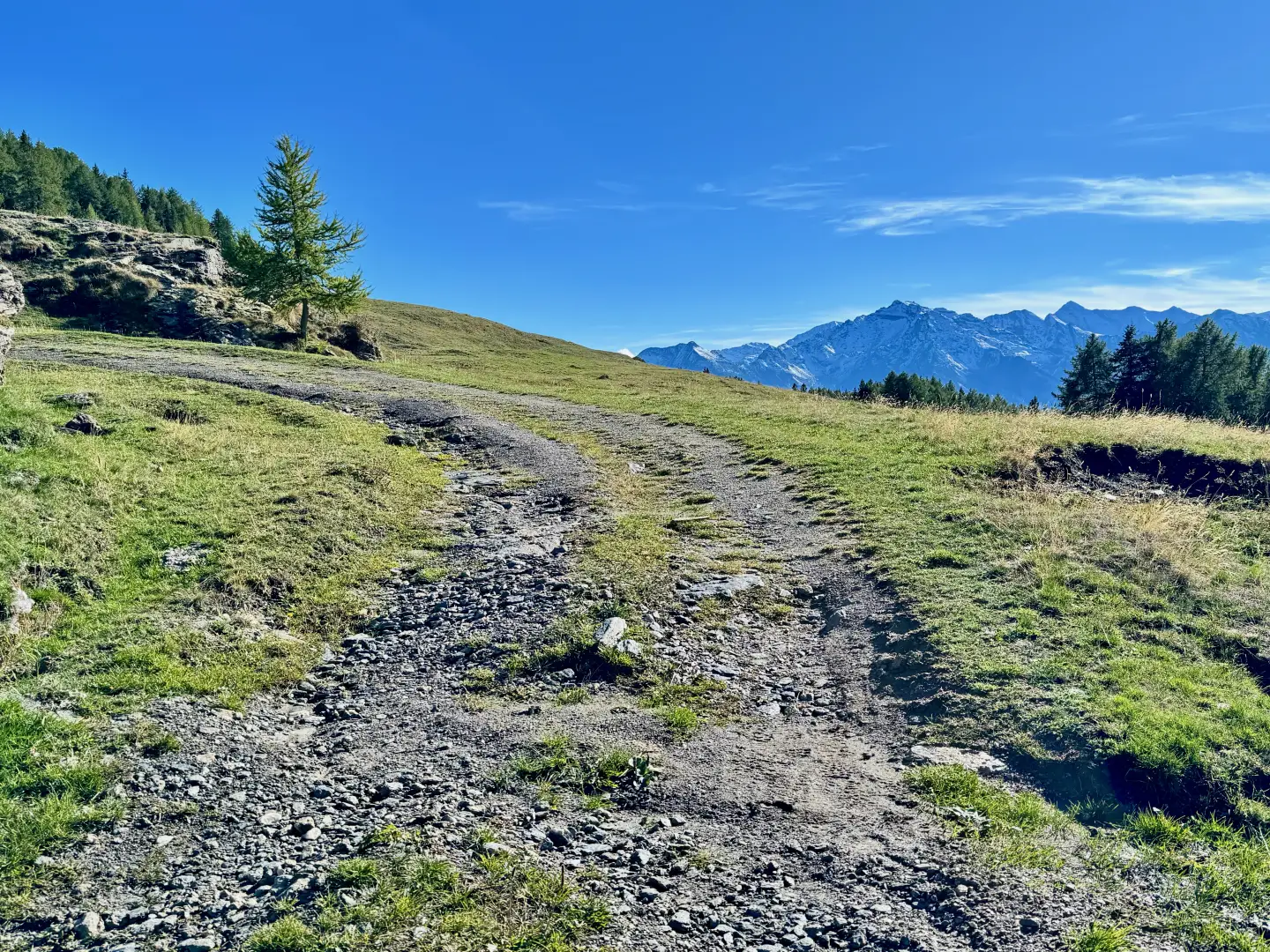
0h40' 1.50km Continue straight ahead, ignoring the road to Chancellier, which branches off to the left, and walk along an almost level stretch until reaching the impluvium of the Promiod stream, which can be easily crossed by a wooden footbridge. Continue on the left orographic slope, passing a short tear in the spruce forest (Abies picea). Come out onto the pastureland and tackle a long uphill stretch, then turn right to reach the ruin of Arsine (1,844m). Return to the forest and climb up the slope with a series of small hairpin bends that allow you to quickly gain height, until you reach a more moderate slope that soon leads out of the forest. Enter the splendid Francou pasture, where the little road makes a slight bend to the left: here the view opens up to the imposing pyramid of Mont Tantané and, in the background of Valtournenche, the Dent d'Hérens and the Matterhorn appear. Finally, make a short right turn and, at the last hairpin bend before the Francou mountain pasture, you will come across a sign board indicating the direction to follow for the Grande Panchina.
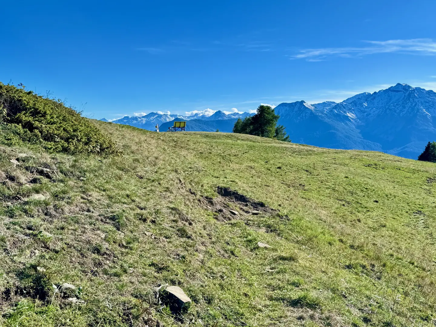
1h35' 3.68km Turn right and follow a track, avoiding the farm road further down. Continue over the pastureland in a southerly direction until you reach the wide grassy saddle, known locally as Col Serena, where you will find the bench (1,992m).
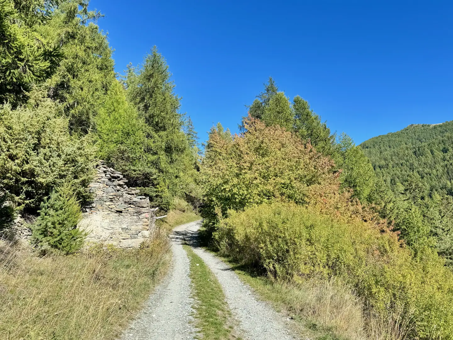
1h40' 4.01km Descend along the path in a southerly direction. A few short turns take you down through a wooded area, then back into the rough pasture and onto a small farm track marked by a post.
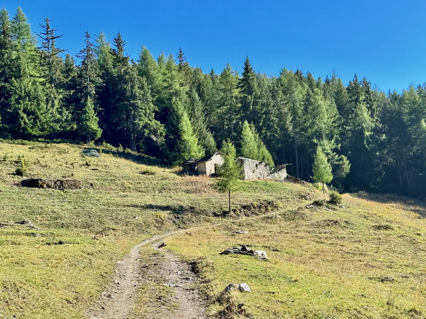
1h50' 0.17km Turn right and descend through the pasture, following the track of the small farm track at the edge of the wood, which is then crossed before reaching the scenic village of Cheney (1.734m).
2h00' 0.17km Turn right again, following the farm track that crosses the village and then begins to descend towards Valtournenche, until reaching a crossroads.
2h05' 0.17km Continue straight ahead, following the farm track that descends towards Promiod. With a few hairpin bends, lose altitude until reaching the impluvium of the Promiod torrent, near which is the Promiod mill. Climb up the little road for a few hundred metres until it joins above the beautiful pastures of Promiod. Walk past a medium-voltage electricity box and enter the village of Promiod, returning to the starting point 2h50' 0.17km .
Points of Interest
- Promiod
- Cheney of Promiod
- Big Bench #440
- Cheney
- Mill of Promiod
- Châtillon
Collections
Photo gallery
Comments (0)
Sign in to leave a comment