Alpe Métsan, from Mandriou


Edited by:
Massimo Martini
Updated at: 26/06/2025
Access
Leaving the motorway at the Verrès exit, enter the roundabout and take the second exit. Proceed in the direction of the town centre and, after 300m, turn left onto the regional road for Val d'Ayas. Follow the regional road for 22.1 kilometres, passing through the villages of Challand-Saint-Victor and Challand-Saint-Anselme, Brusson, Vollon and Extrapieraz until you come to a crossroads for Antagnod in the hamlet of Corbet. Turn left and follow the regional road to Antagnod, passing the villages of Lignod and Antagnod. After about 4 kilometres you'll come to the crossroads for Barmasc, ignore the left turn and continue along the municipal road for 1.3 kilometres until you come to the crossroads for Mandriou. Turn left and drive up Route de Mandriou for a further 1.6 kilometres until you reach the free car park 🅿️ facing the village. In case of heavy traffic, turn back and park along the road, taking care not to get in the way.
[0h44'] - [28.6km]
How to get there with GMaps
How to get there with Apple Maps
The directions given here were verified at the time of the route survey. Before setting off, it is advisable to ensure that no substantial changes have occurred on the route to the starting point. We therefore recommend the use of the satellite navigation apps provided by Google or Apple for up-to-date and detailed directions.
Introduction
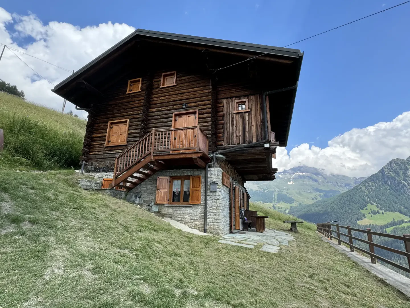
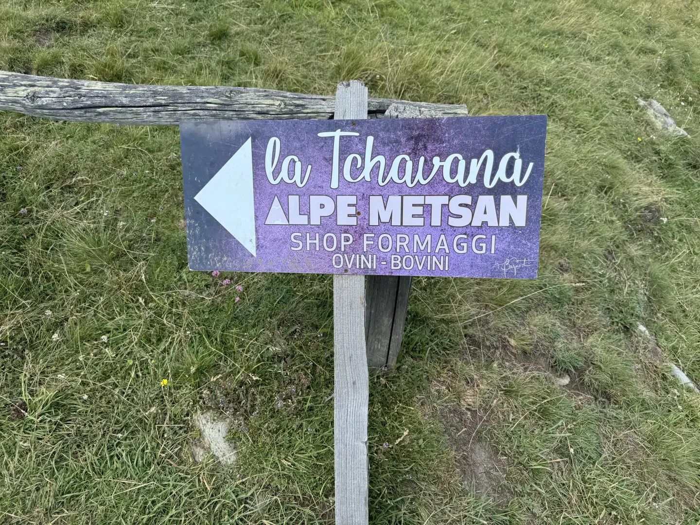
Alpe Metsan is located on a plateau on the slopes of Mont Facebelle in the upper Val d'Ayas. Nearby flows the Ru Courtod, so it is a fairly popular destination. Attached to the mountain pasture, the La Tchavana agritourism has been in operation for a few years now and is an arrival point for family hikes rewarded by a taste of the excellent dairy produce.
The itinerary proposed here is the one with the quickest access.
Description
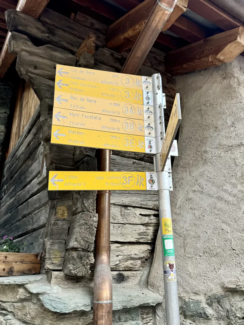
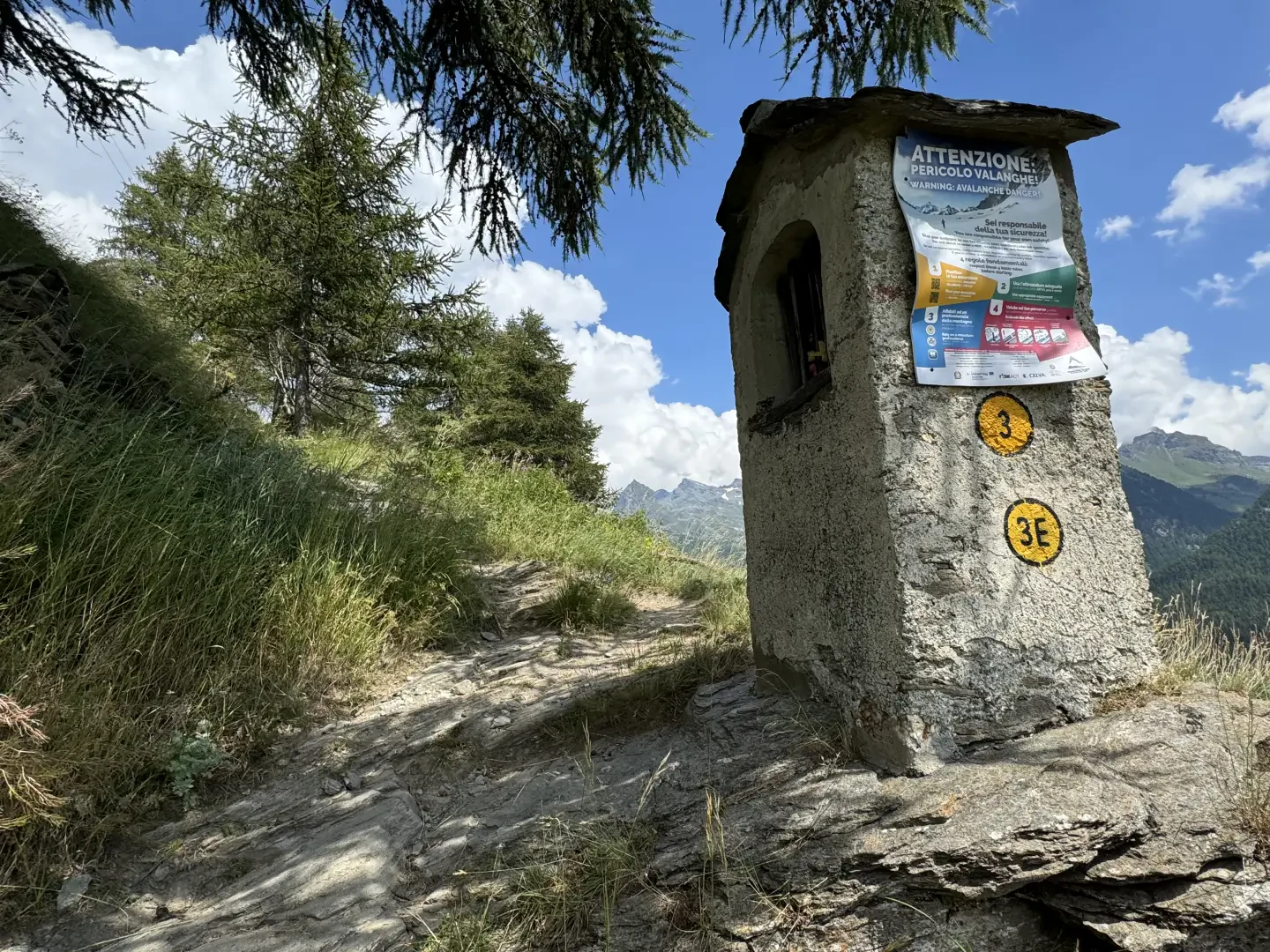
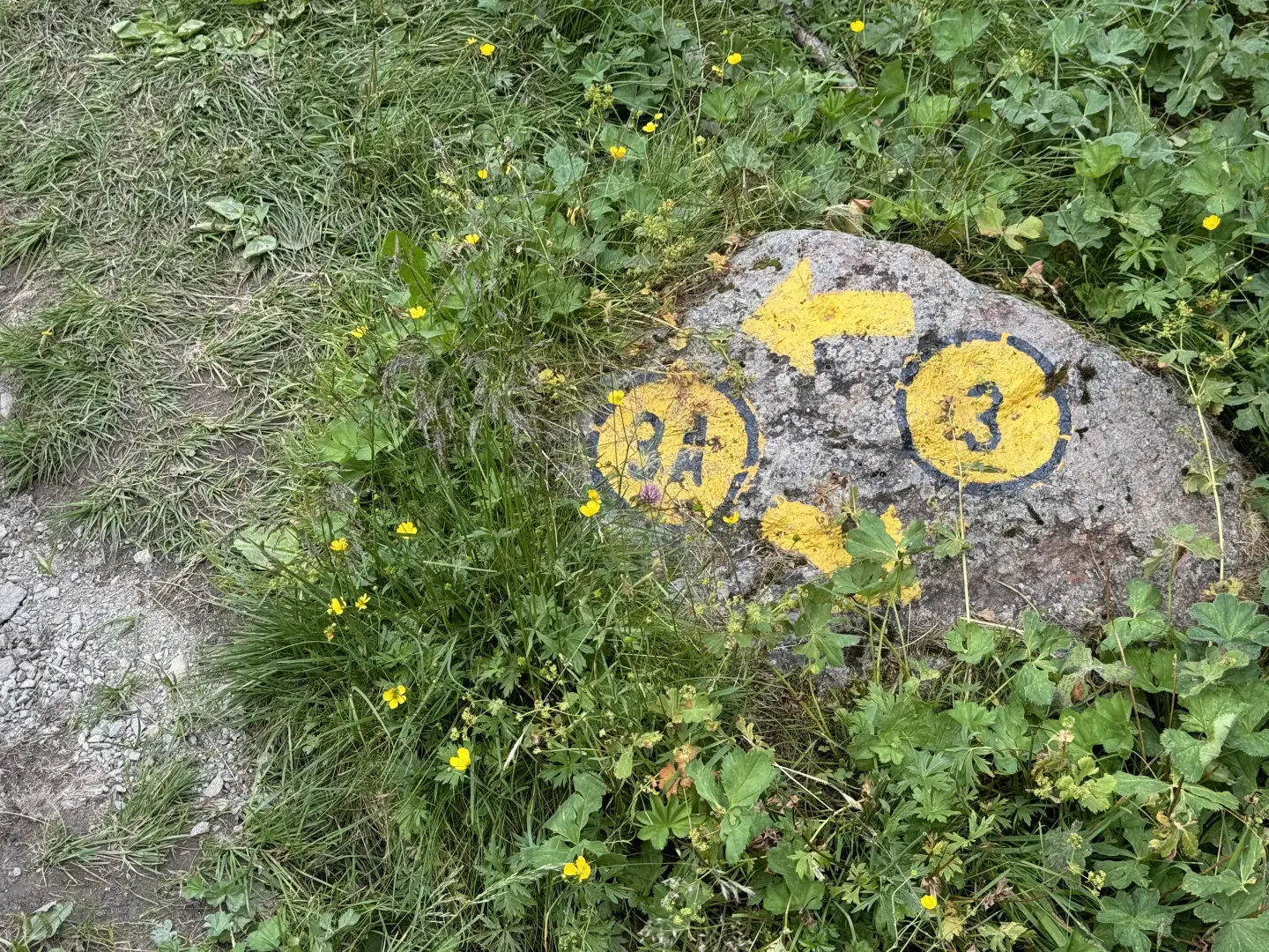
0h00' 0.00km From the car park, leave the chapel dedicated to the Immaculate Conception on the right and head towards the village. Near a fountain 💧 you will see the signposts indicating the main paths from Mandriou. Follow the signs for Lac Lochien as you make your way through the characteristic hamlets of the village. Having left the hamlets, the path becomes steeper, skirts a votive shrine and reaches the little access road to Cà Zena (1883m). Continue straight ahead on the path that leaves the pastureland and enters the larch forest. With a constant incline, you will reach a first clearing and, a little further on, a signpost with directions to Lac Lochien (1950m).
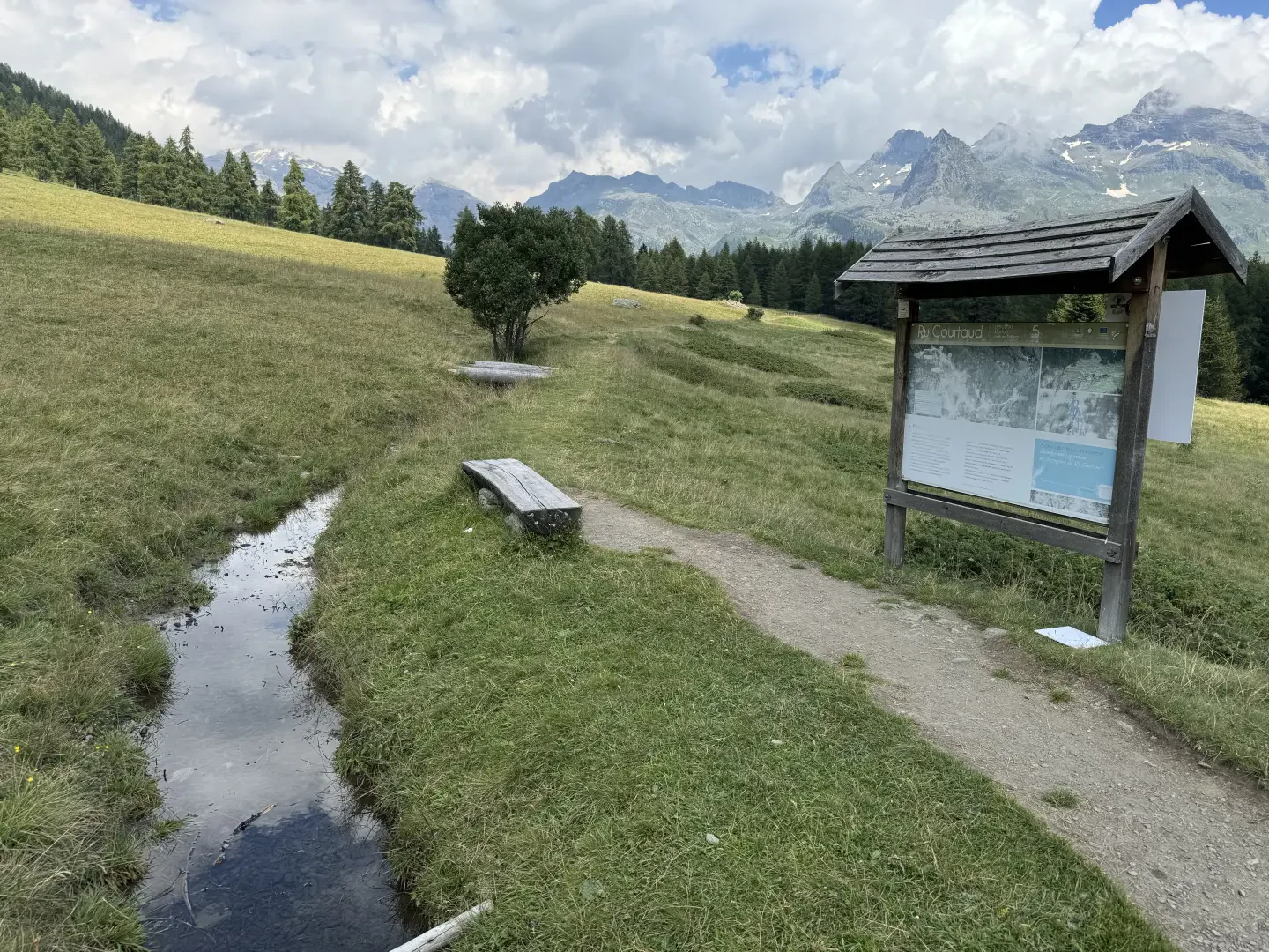
0h20' 0.58km Continue straight on until reaching Ru Courtod (1976m) and an explanatory panel.
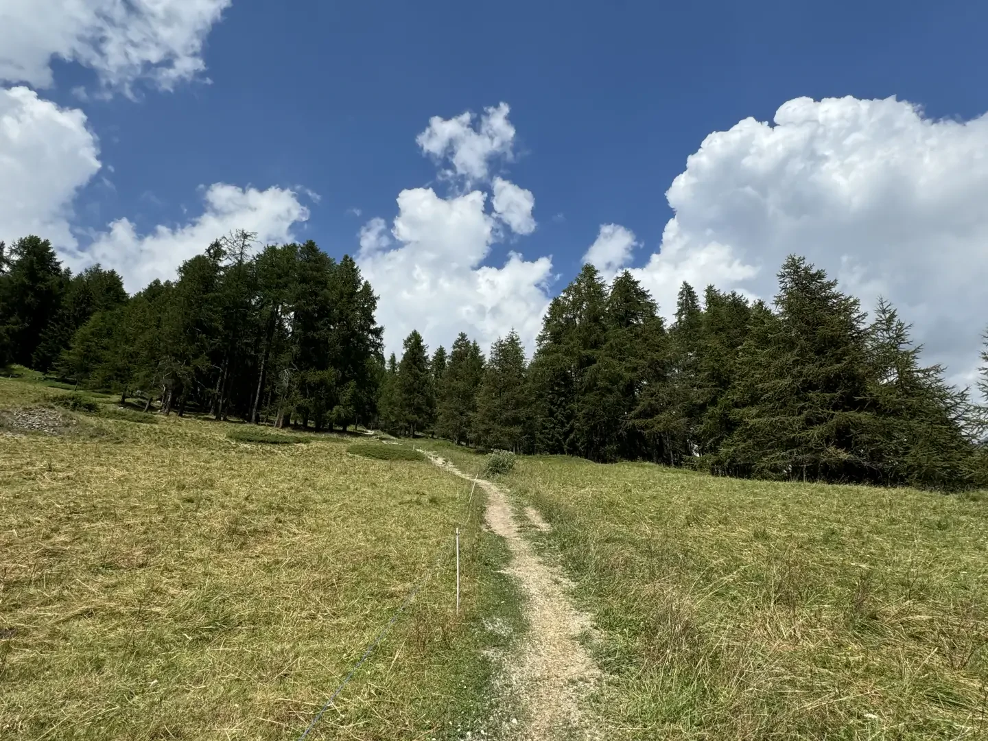
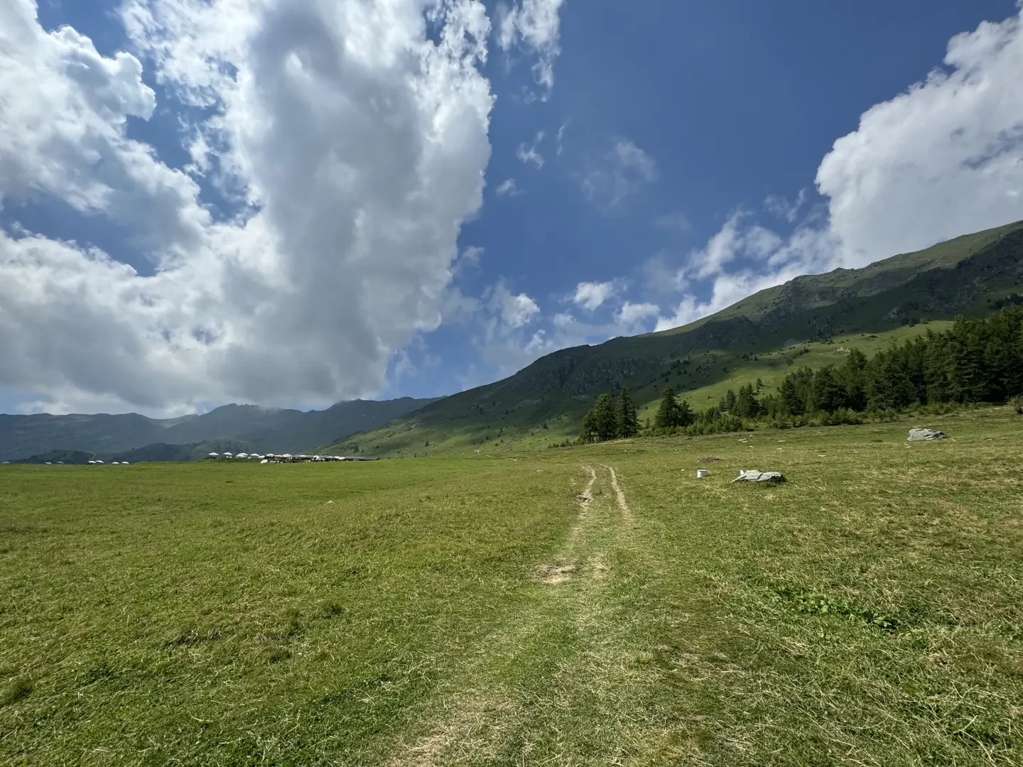
0h25' 1.11km Neglect, on the right, the path that runs alongside the ru, and continue straight on over the beautiful pastureland. The path veers slightly to the left and reaches the Alpe Métsan complex (2007m) 0h30' 7.58km , consisting of the alpine pasture and the farmhouse La Tchavana.
The return is along the same route as the outward journey 0h25' 1.11km .
Points of Interest
Photo gallery
Comments (0)
Sign in to leave a comment