Alpe Canale, from Sant'Andrea to Mot


Edited by:
Marco Bonati
Updated at: 26/06/2025
Access
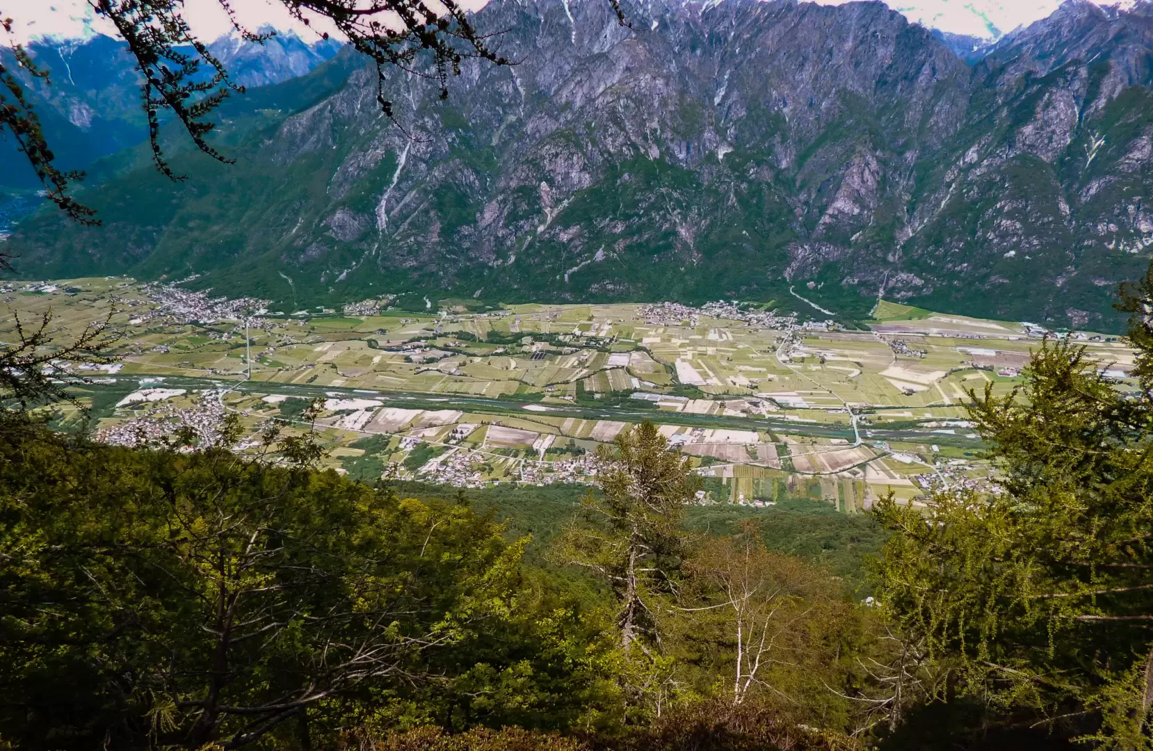
From Milan to Novate Mezzola along the state road ; just beyond the railway station, underpass the tracks and take the provincial road "Trivulzia". Continue as far as Era (hamlet of Samòlaco) and, entering the centre of the village, reach the square of the parish church: here a small sign indicates the direction for "Sant'Andrea al Mot". A few hundred metres of asphalted road lead to a widening (few places) where unauthorised persons are forbidden to continue.
.Introduction
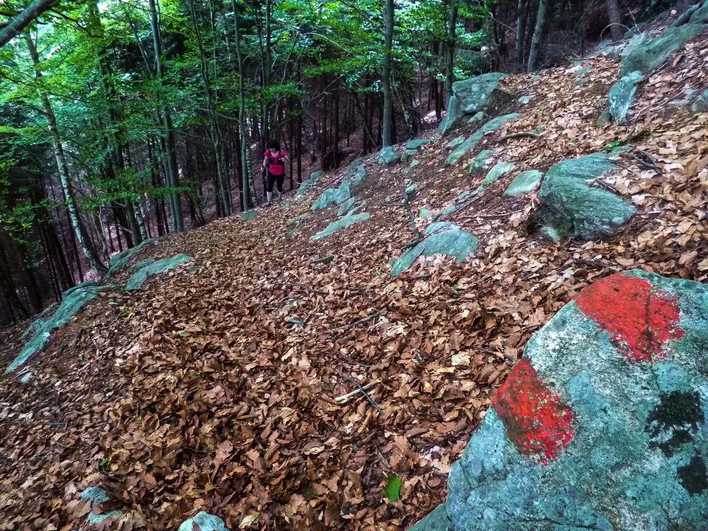
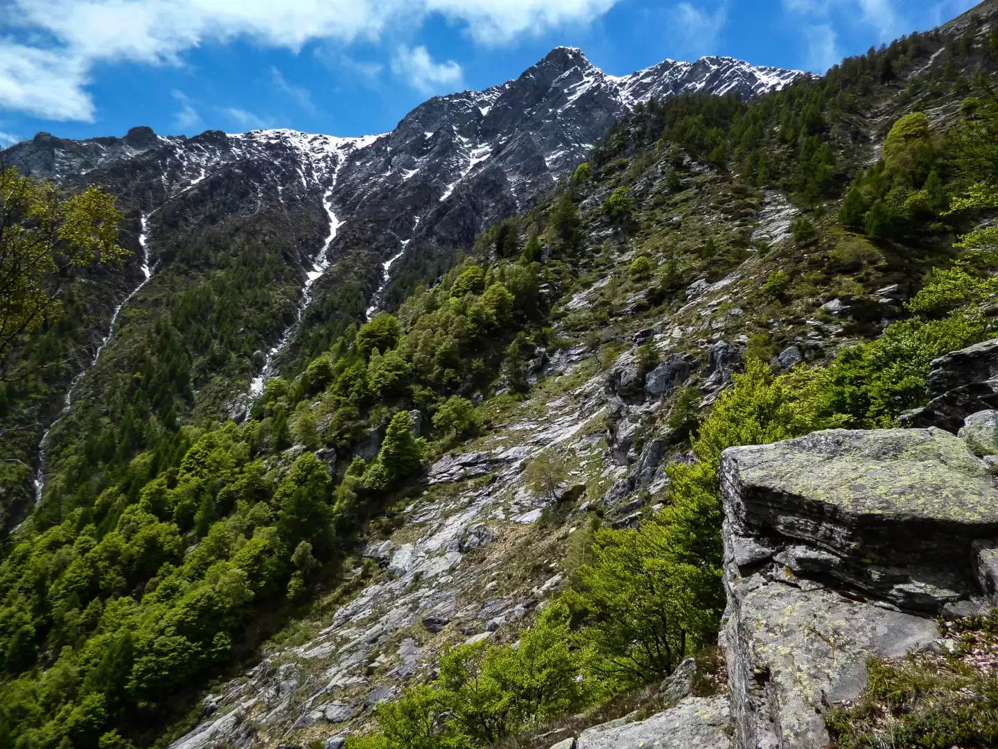
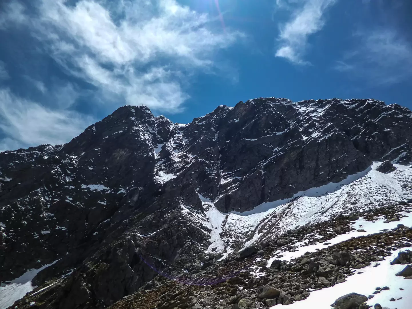
Unpublished excursion that leads to visit lost and abandoned alpine pastures in an extremely wild and precipitous environment: one finds oneself in a rocky basin dominated by the northern wall (probably never climbed) of the well-known Sasso Canale. The route - despite the indication of difficulty T4 - never presents technical difficulties greater than T3, but a long section through a dense beech forest presents serious orientation problems: the extreme scarcity of very old varnished signs and the presence of animal tracks recommend constructing stone cairns at changes of direction, also to facilitate the return.
.Description
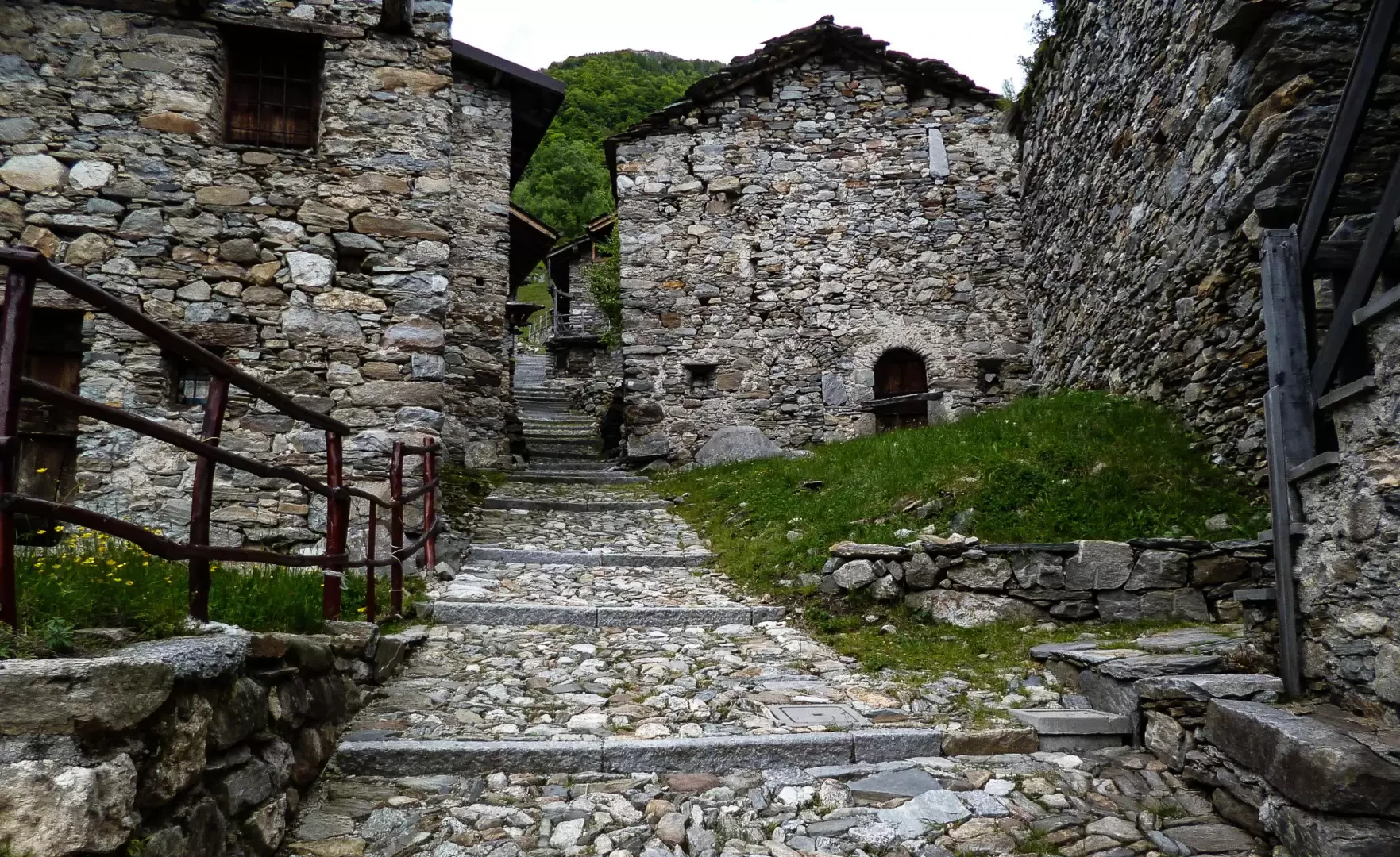
From the small square 380m away at the start of the Way of the Cross that leads up to the church of Sant'Andrea al Mot, follow the long (4.5 km) and monotonous ascent along the asphalted forest track that leads to the Paiedo hamlet 886m
[Some maps and an old hiking guidebook suggest the use of a shortcut that, in reality, is no longer recognisable on the ground.]
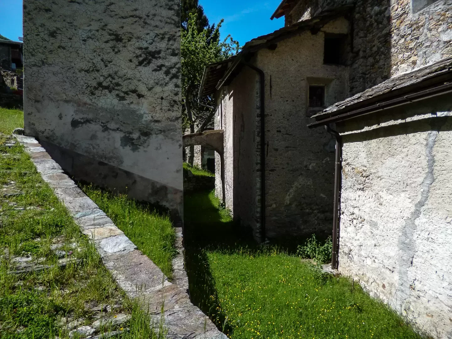
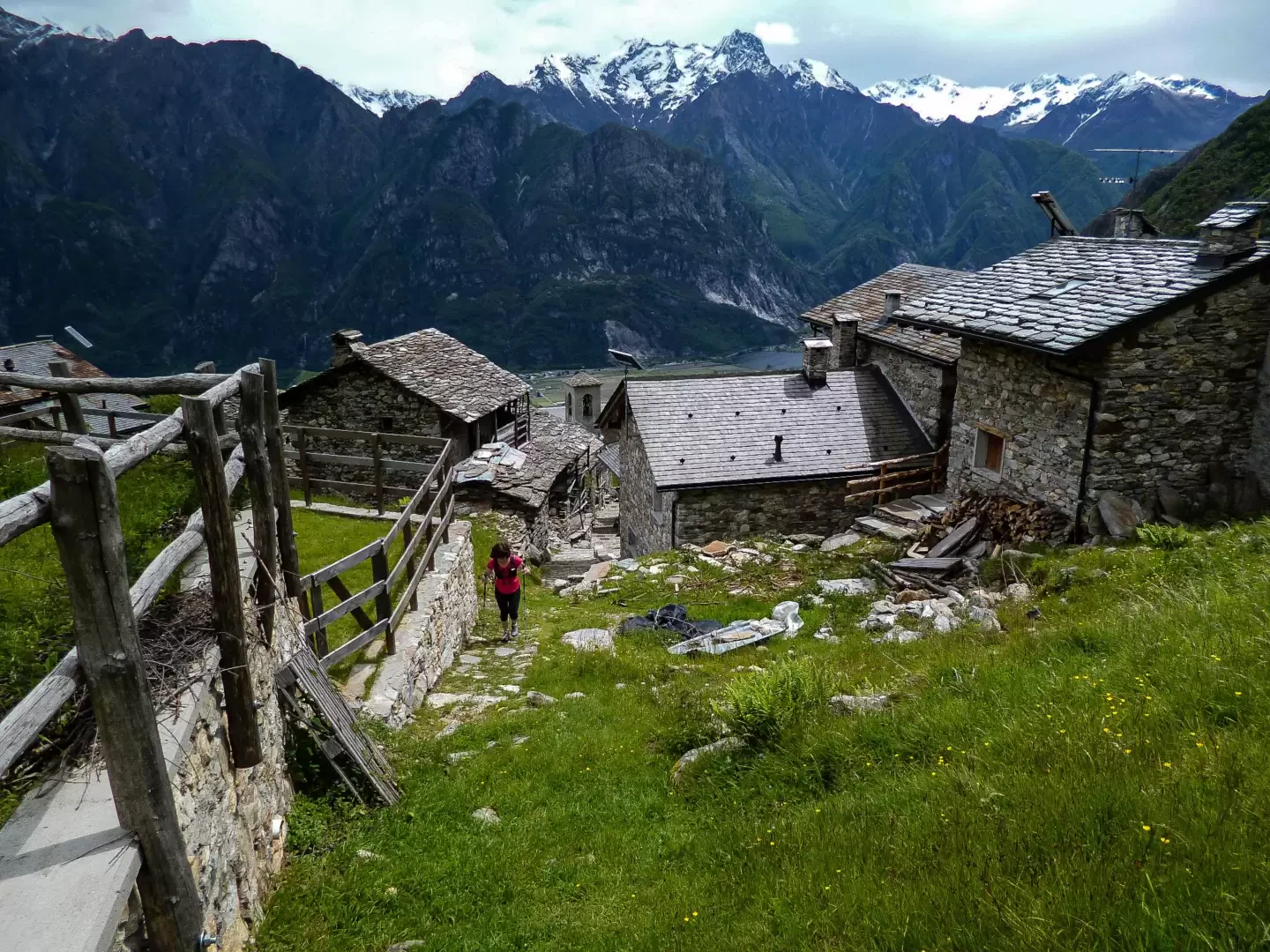
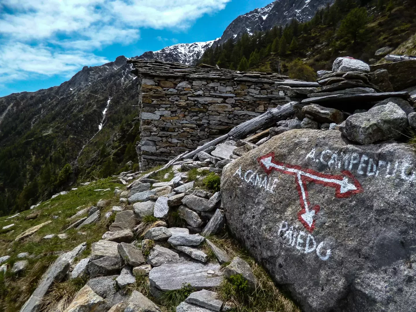
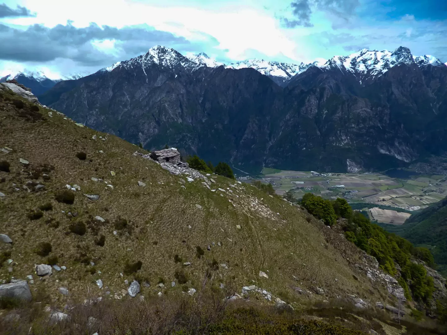
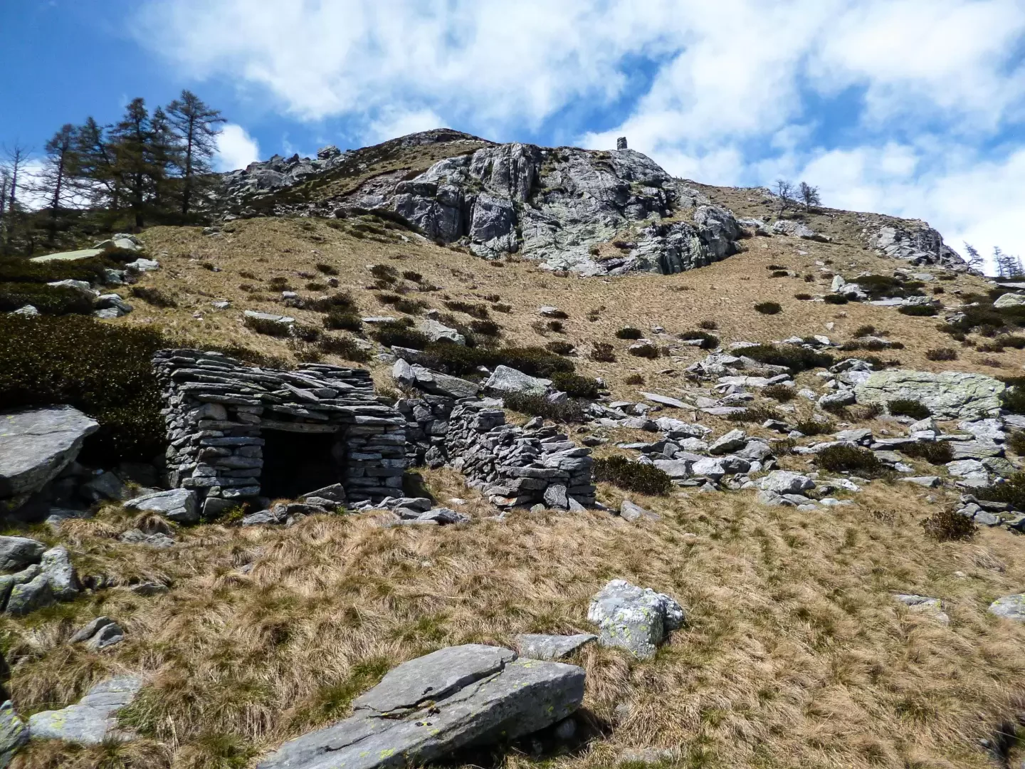
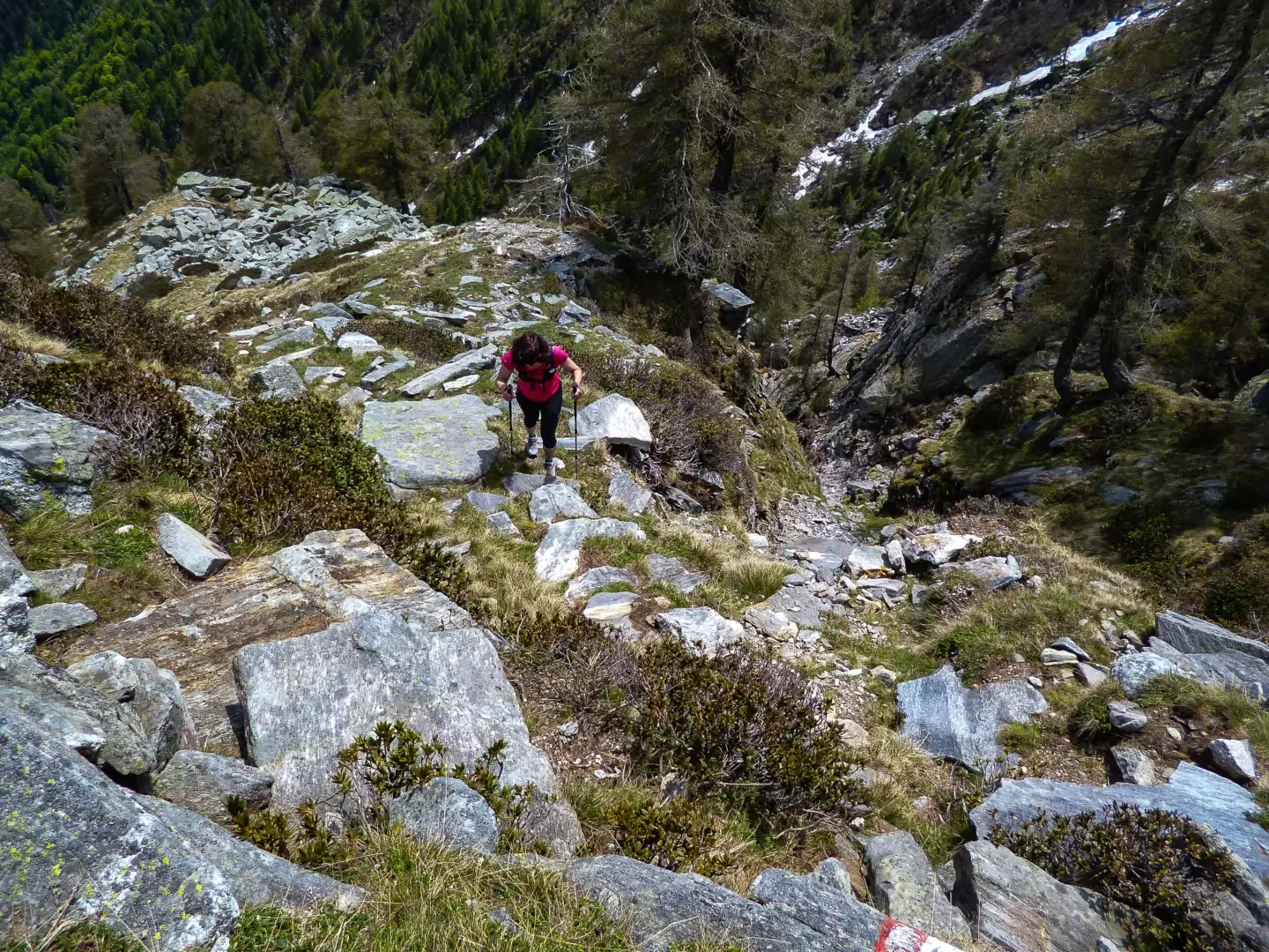
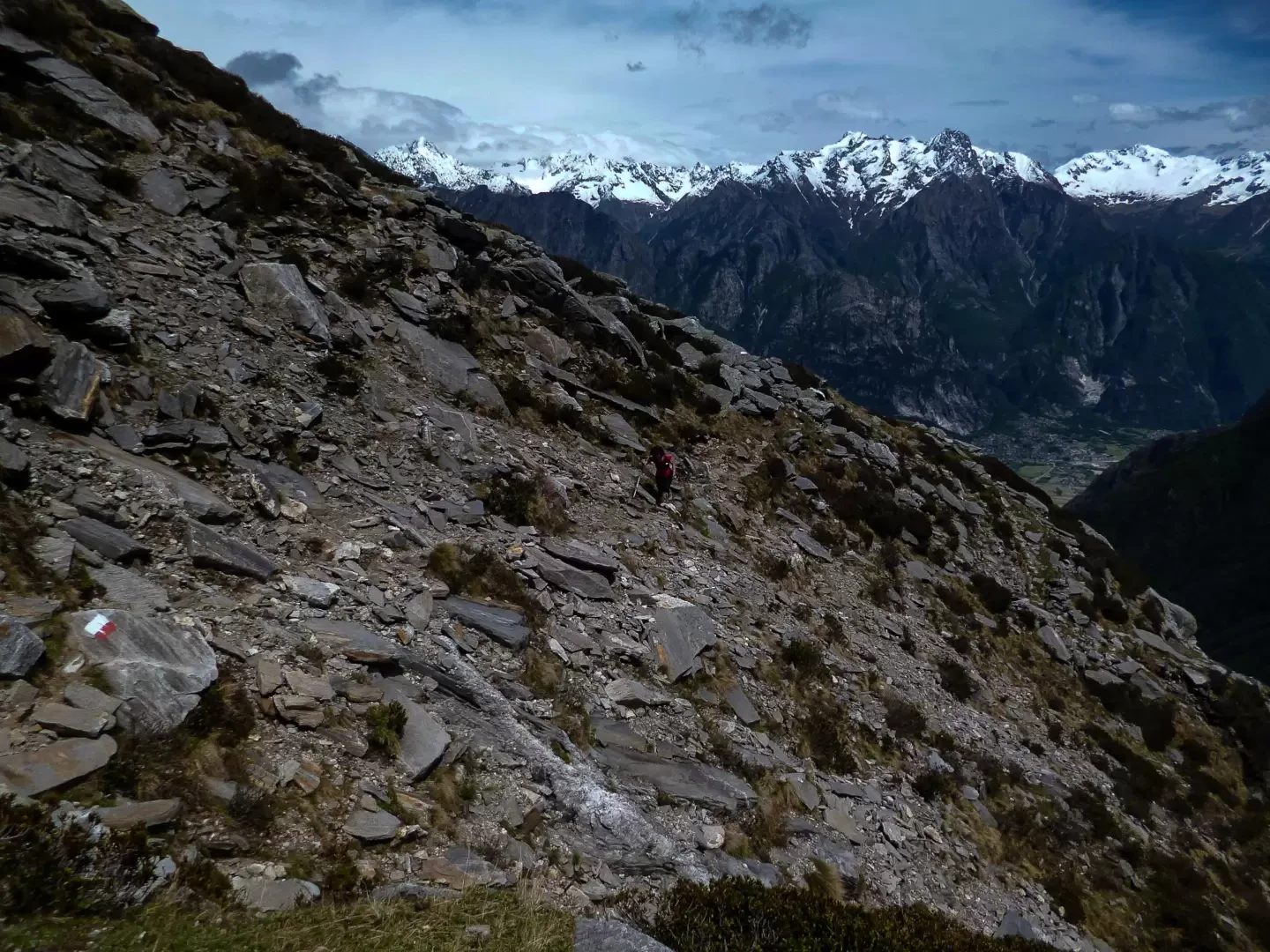
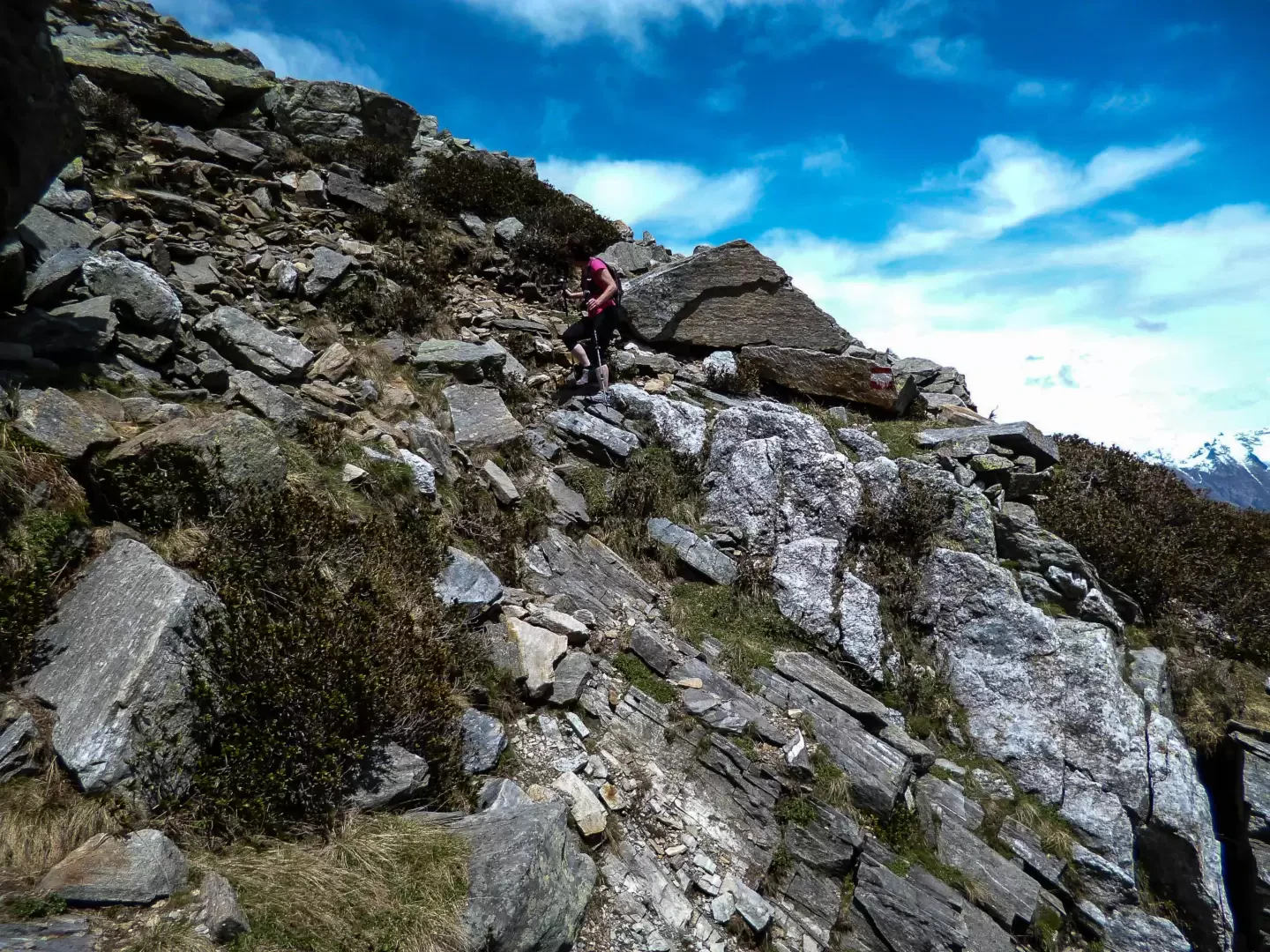
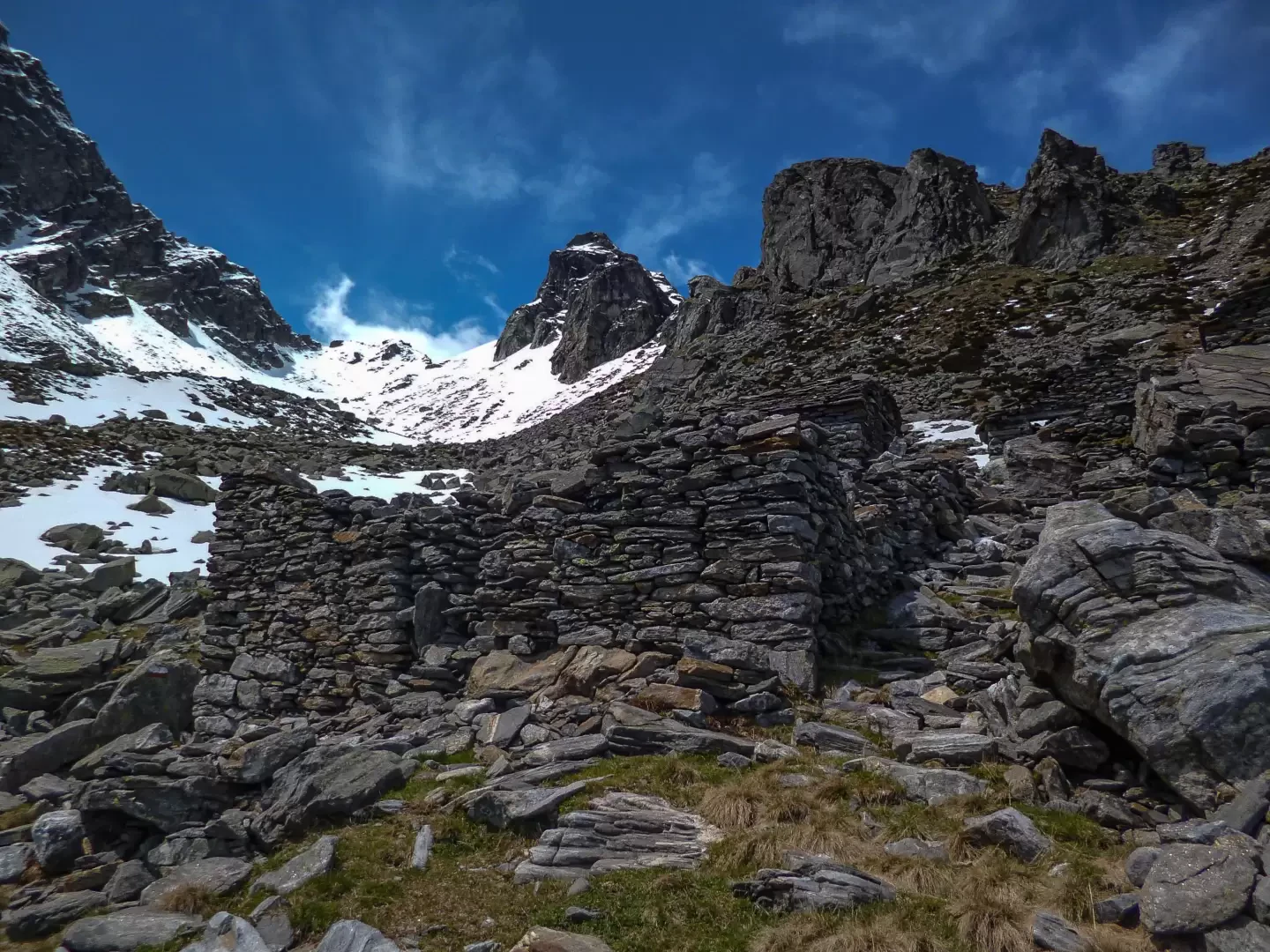
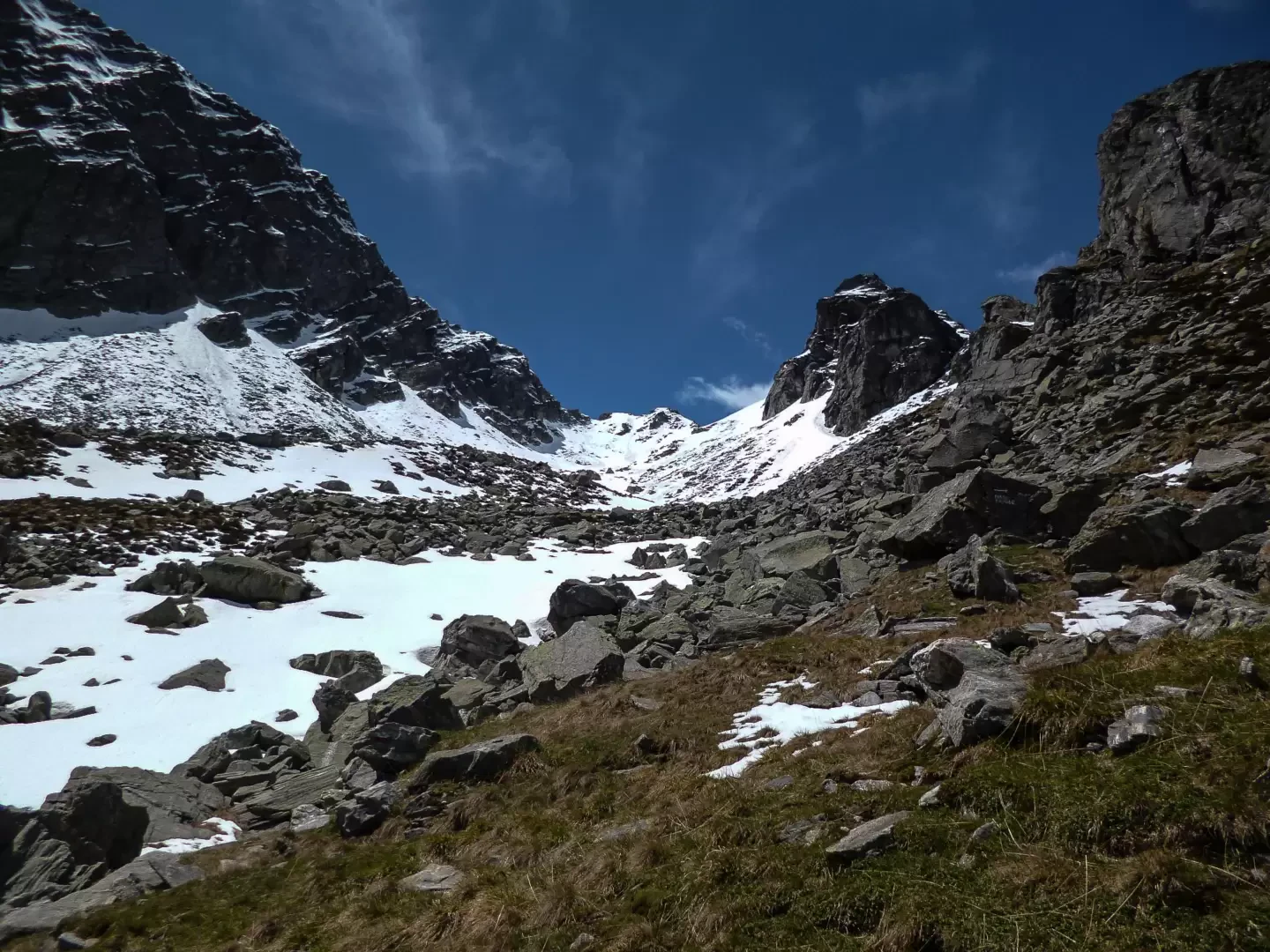
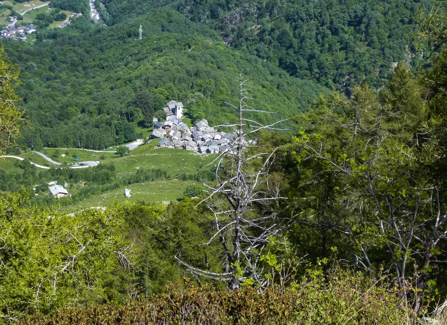
After a visit to the old cluster of stone houses (two monolithic fountains are also noteworthy), continue along the road - now narrower and, in places, cemented - to the locality of In Cima ai Prati 1109m: from here, follow a vague track through the grass that heads southwards, entering among the first centuries-old beech trees. When the forest thickens, the difficulties of orientation begin: carefully following the long sequence of steep hairpin bends and avoiding the numerous false deviations of the ungulates' tracks, you arrive once again in a brighter environment, on a crest (continuation of the wooded shoulder just crossed) at the edge of a rocky valley (Valle Casenda). Above, the solitary hut of Alpe Cortesella 1636m is already recognisable: it is reached via an unmistakable stony path where the painted signs have unexpectedly reappeared. The path continues diagonally to the south-west, gradually entering the valley below Sasso Canale: with the ascent now softened and with the crossing of some landslide sections - beyond an emergency hut and a high stone cairn - you reach a vast landslide of blocks that camouflage what remains of the huts of the isolated Alpe Canale 1925m.
Return along the outward route.
Points of Interest
- Church of Sant'Andrea al Mot
- In Cima ai Prati
- Alpe Cortesella
- Alpe Canale
- Samolaco
Collections
Photo gallery
Comments (0)
Sign in to leave a comment