Abaz, from Sizan


Edited by:
Massimo Martini
Updated at: 14/06/2026
Access
At the motorway exit of Verrès, enter the roundabout and take the second exit in the direction of the historic centre of Verrès. Continue for about 300 metres, then turn left onto the regional road towards Val d'Ayas. Follow the for about 3.5 kilometres until you see the signs for Isollaz, then turn right at the hairpin bend. Continue for about 1 kilometre to the crossroads: follow the small road to the left towards Sizan. After about 300 metres you will find a large free car park 🅿️ on the right facing the Sizan cemetery, where you can leave your car.
The resort is not directly served by public transport, so you will need a private vehicle to get to Sizan.
Distance and Travel Time
🕒 Travel Time: 10 minutes
📏 Distance: 5.3 km
GPS Navigation
📍 How to get there with Google Maps
📍 How to get there with Apple Maps
ℹ️ Important note
The directions provided were verified as of the date of the route survey. Before departure, it is advisable to check for any changes to the route. For up-to-date and detailed directions, we recommend the use of Google Maps or Apple Maps.
Introduction
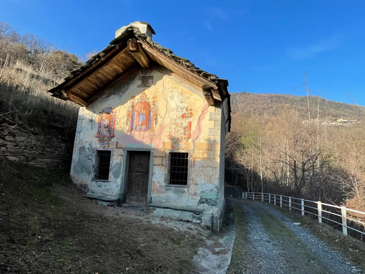
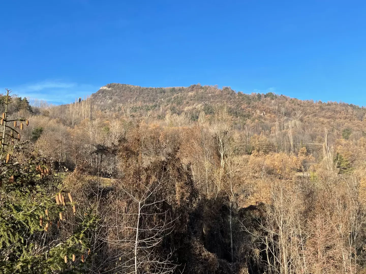
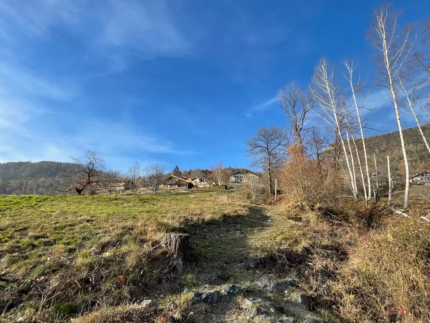
The itinerary from Sizan to the village of Abaz is a fascinating and accessible hiking route for everyone, ideal to take in spring or autumn, when the colours of the forest are at their most beautiful. This easy hike, surrounded by a landscape full of picturesque views, offers a valuable natural and cultural experience. The walk begins in the quiet hamlet of Sizan and runs through lush forests, wide clearings and splendid views of the valley below, until you reach Abaz, an ancient hamlet located at an altitude of 931 metres on the eastern slope of the Col d'Arlaz. Along the route, we encounter environments characterised by the presence of downy oak (Quercus pubescens), Scots pine (Pinus sylvestris), silver fir (Abies alba) and birch (Betula pendula), also offering the opportunity to observe local fauna such as the red squirrel (Sciurus vulgaris), the green woodpecker (Picus viridis) and numerous small passerines. Among the most interesting features is the Chapel of Our Lady of Mercy, built in 1797 in Sizan, which lends a spiritual and historical touch to the hike. In addition, the trail passes through areas where the remains of ancient irrigation canals, which were fundamental to the agricultural development of the valley over the centuries, are still visible. The village of Abaz, which has been documented since the Middle Ages in local sources, is the final destination of this itinerary. Although it does not have any exposed stretches and develops on a stable surface, it does require attention in the days following the rains due to the possible slipperiness caused by surfacing roots and stretches of beaten earth. A perfect excursion for those who wish to combine nature, history and relaxation in an authentic and silent setting.
Description
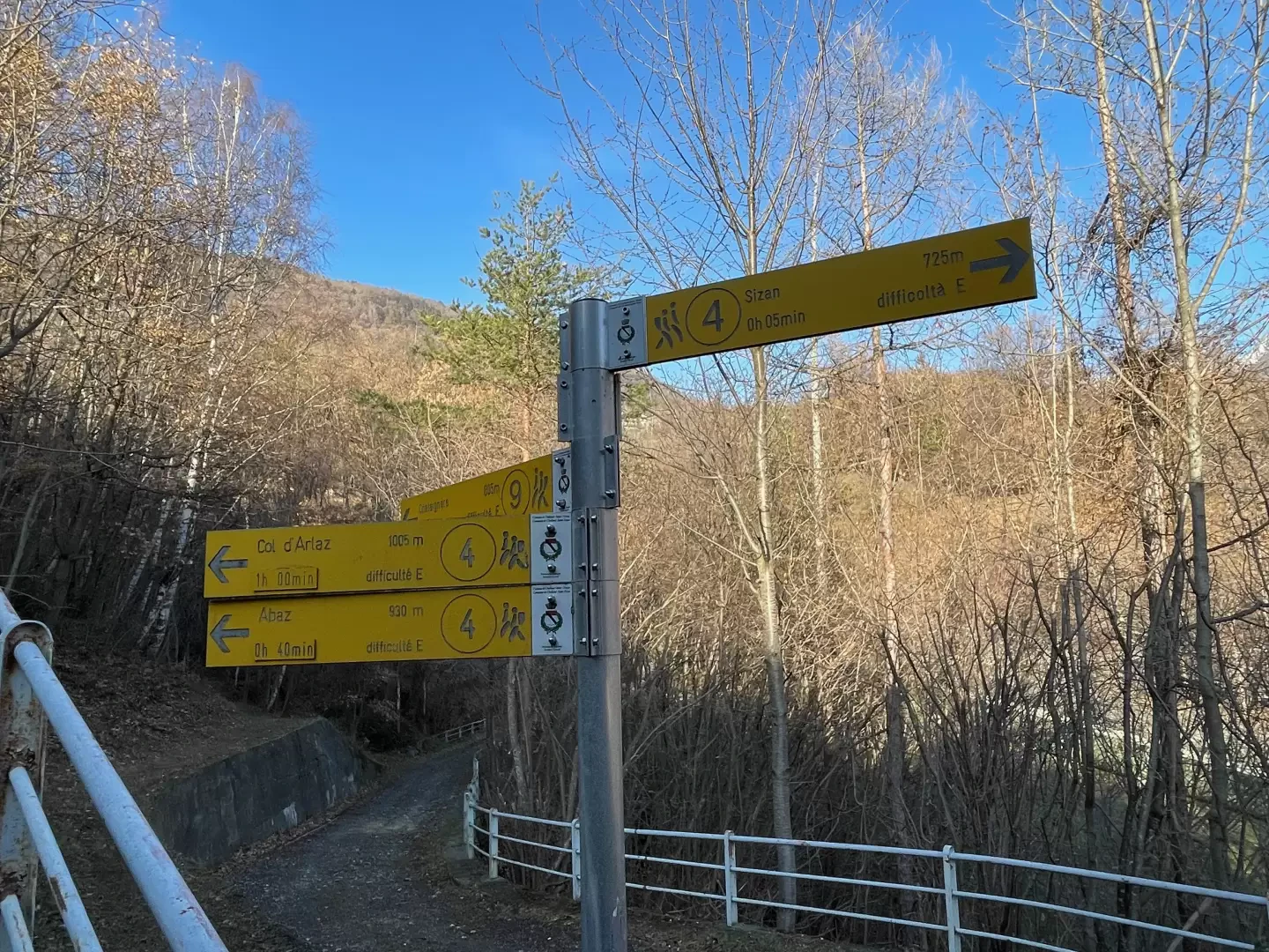
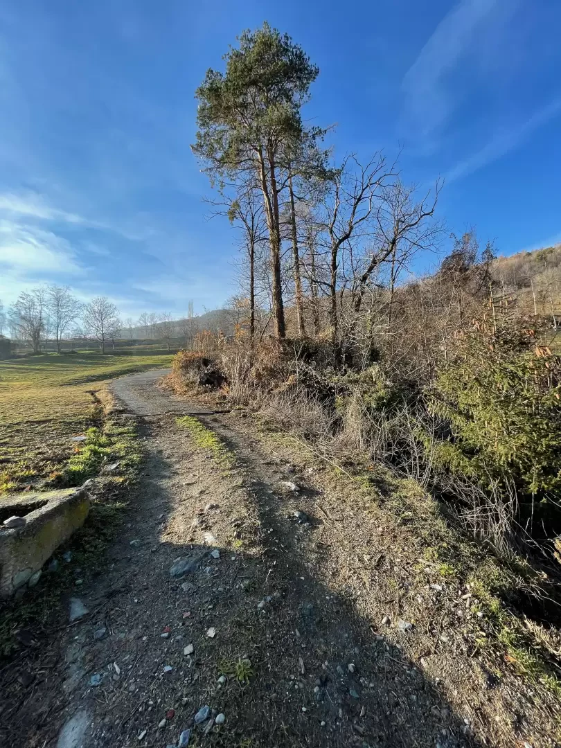
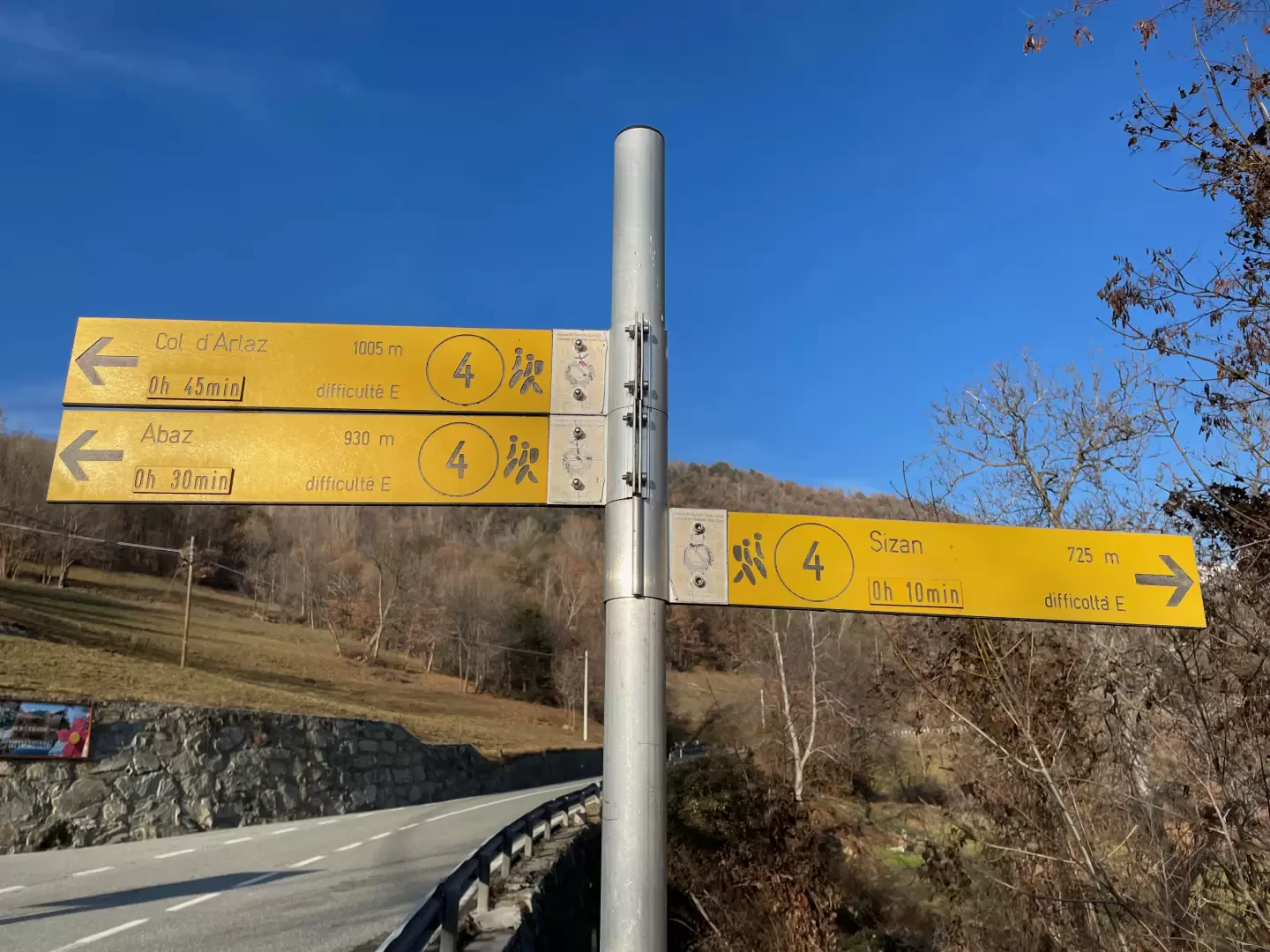
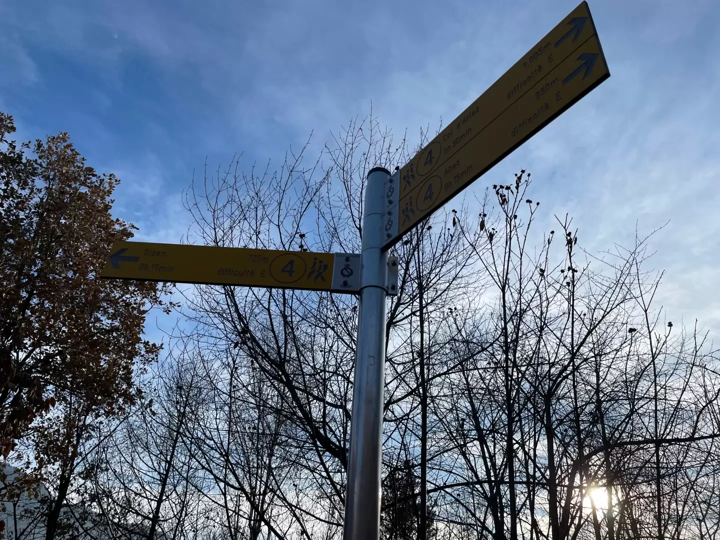
0h00' 0.00km From the village of Sizan, follow the small tarmac road which, shortly after the village, becomes a dirt track. Continue until you reach the pretty chapel dedicated to Our Lady of Mercede, near which there is a signpost with directions for path in the direction of Abaz and Col d'Arlaz.
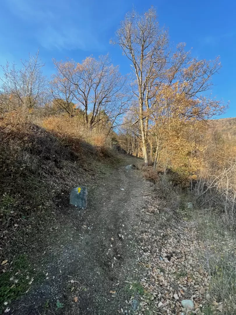
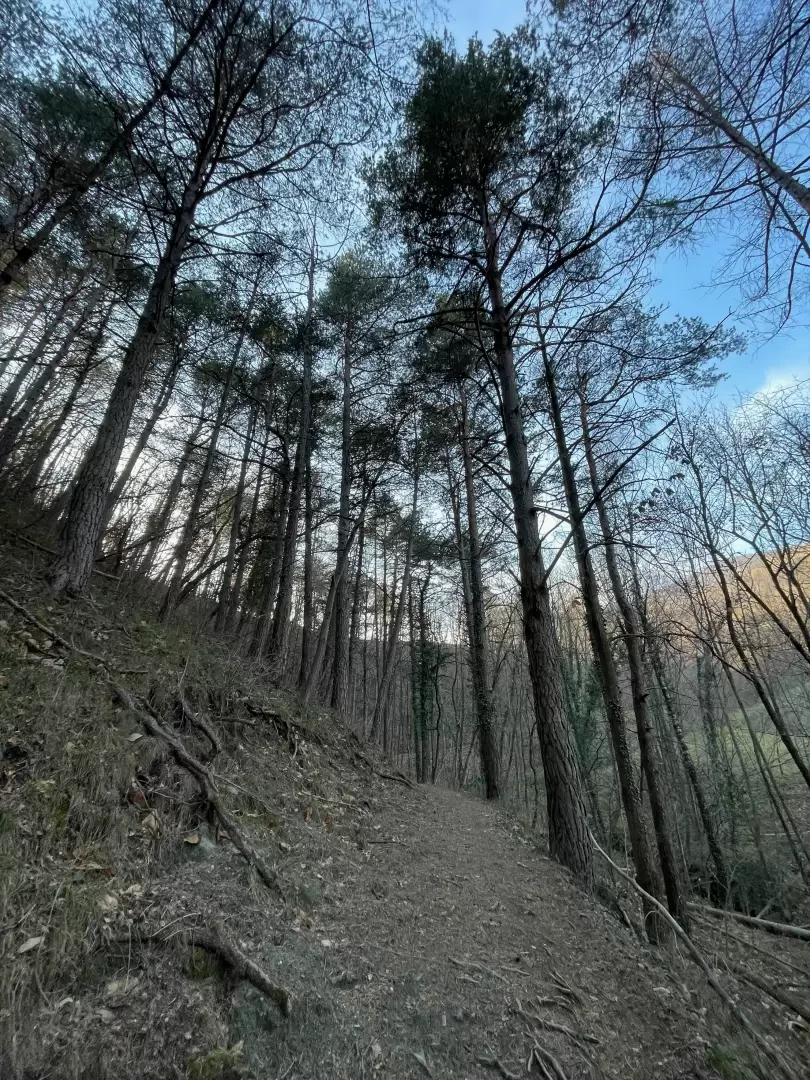
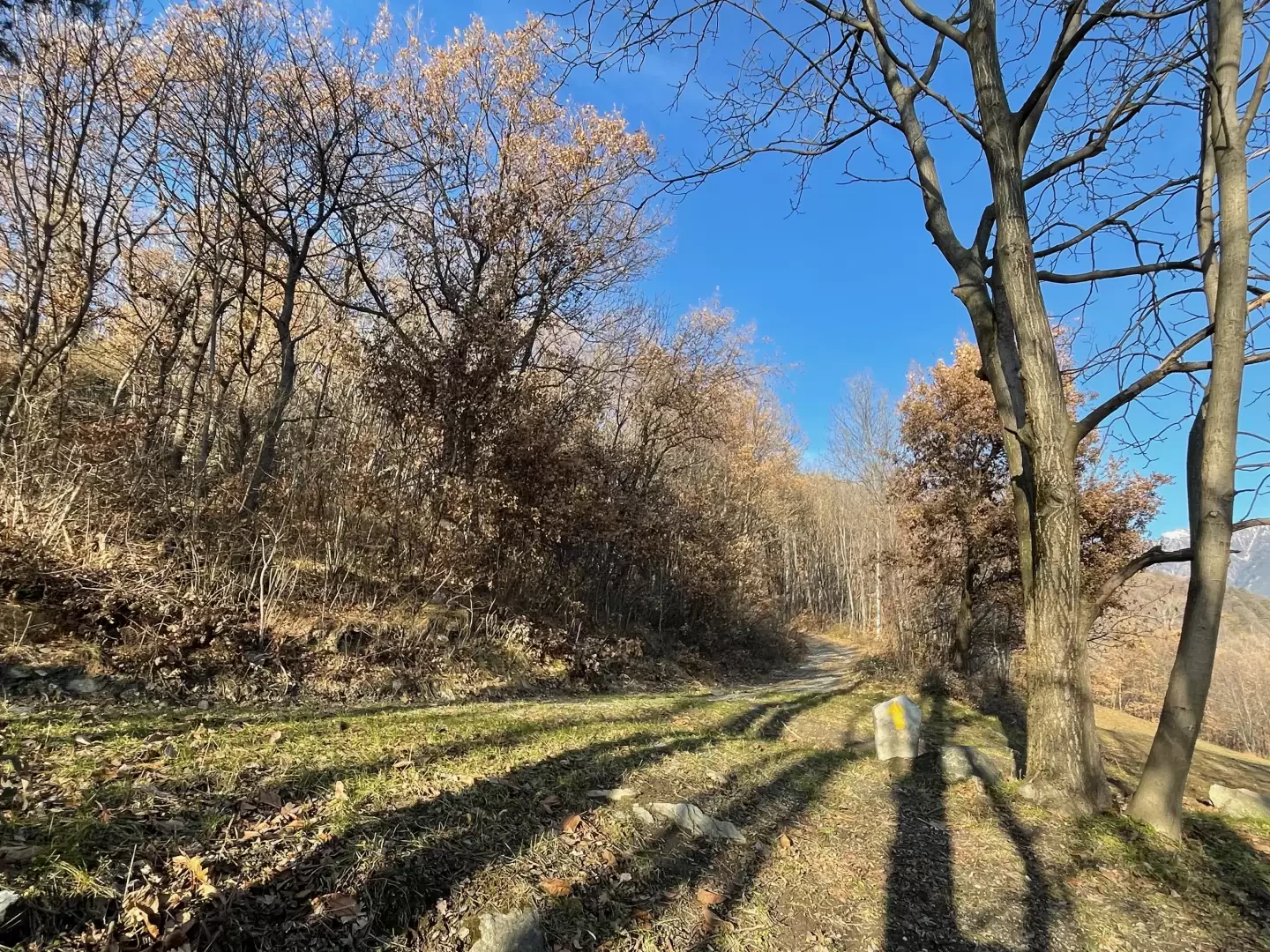
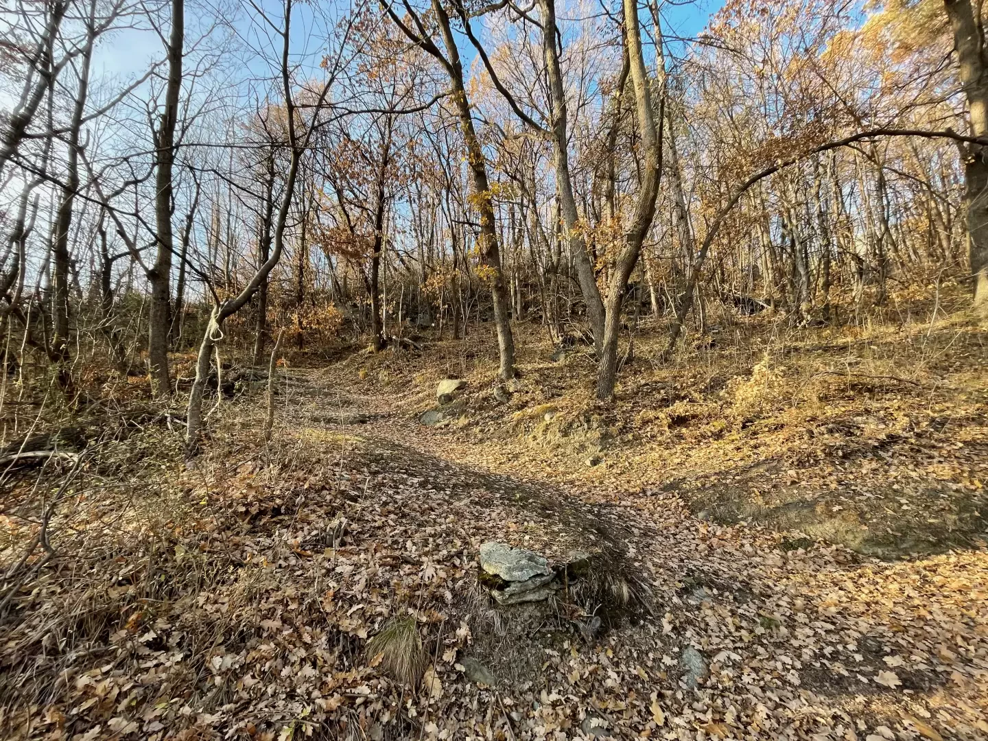
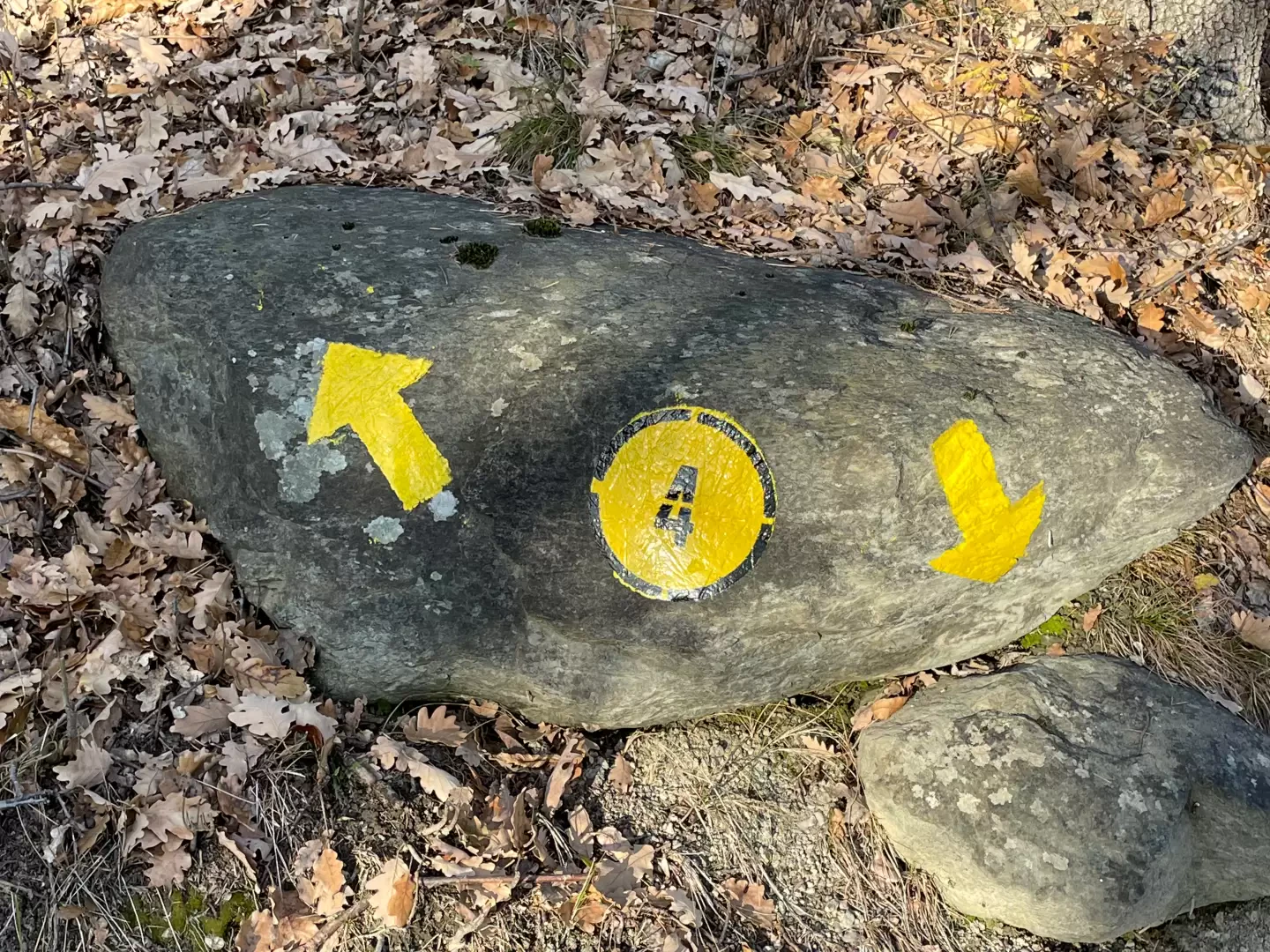
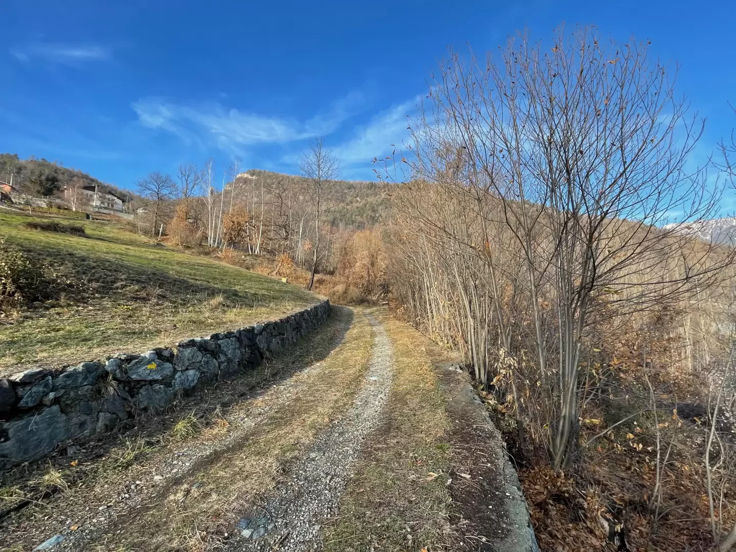
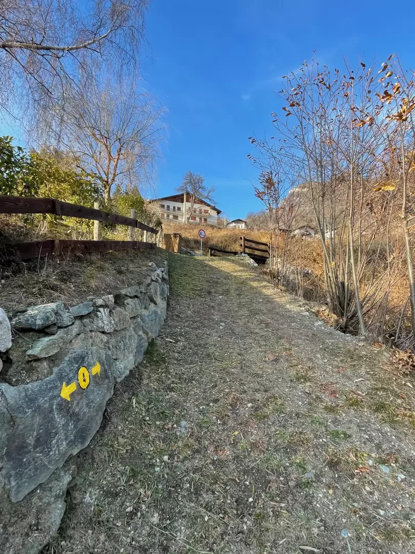
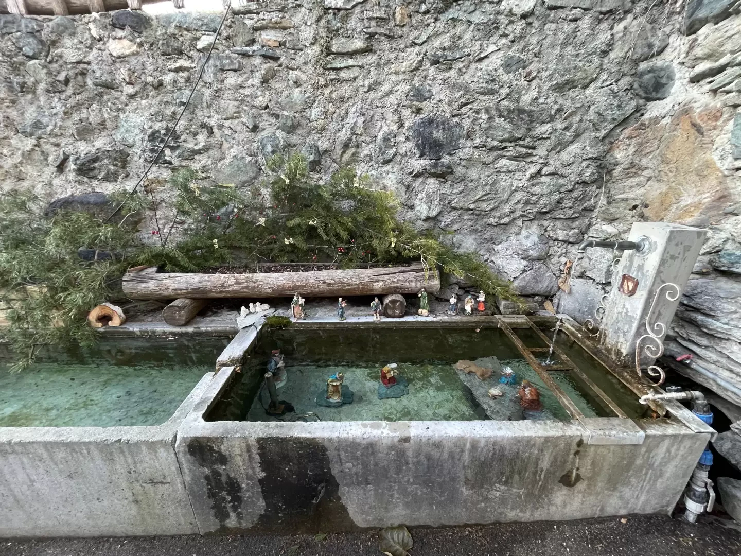
0h05' 0.20km Turn left and take a well-marked path that, after an initial section bordered by a metal railing, enters an oak wood (Quercus pubescens), Scots pine (Pinus sylvestris) and silver fir (Abies alba). With a few twists and turns, the path gains height, leaves the forest and crosses a meadow, until it crosses the regional road at the crossroads to Lac de Villa. Cross the road and take the path again, following the yellow arrows. One then re-enters the forest, now dominated by birch trees (Betula pendula), and ascends the slope until one meets a small agricultural road. Turn right and follow it for a short distance, then turn left, taking the path again, which is barely visible but marked by an arrow further on. After crossing another agricultural track, follow the signposts: turn right and follow the track for a short distance, then turn left and climb a short grassy slope. You will then reach the communal road to Col d'Arlaz, where a sign indicates the entrance to the village of Abaz. Continue straight on, crossing the village, until reaching a car park with a fountain 💧, which is the centre of the village 0h40' 1.38km .
The return trip follows the same route as the outward journey, retracing the path through forest and meadows back to the starting point in the village of Sizan 0h30' 1.38km .
Points-of-interest
Collections
Photo gallery
Comments (0)
Sign in to leave a comment