Ussel, from the car park on the SR10

Edited by:
Massimo Martini
Updated at: 01/09/2026
Access
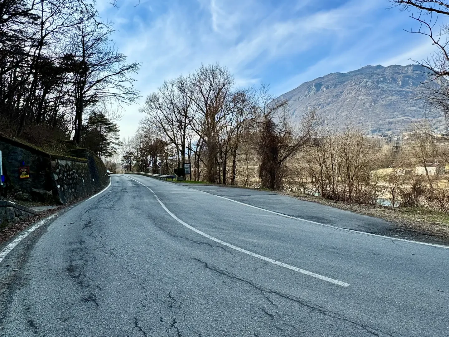
Leave the Châtillon-Saint-Vincent motorway junction , turn left onto Via E. Chanoux and follow it for about 100 metres. Then turn left again onto the Regional Road towards Pontey. Continue downhill, pass two roundabouts and the railway station, then go under the railway line, ignoring the turn-off for Ussel. Cross the bridge over the Dora Baltea and turn right towards Pontey. After a few metres, on the right, there is a small free car park 🅿️ where you can leave your car.
Distance and journey time
🕒 Journey time: 4 minutes
📏 Distance: 1.9 km
GPS navigation
📍 How to get there with Google Maps
📍 How to get there with Apple Maps
ℹ️ Important note
The directions provided were verified on the date the route was mapped. Before setting off, it is advisable to check for any changes to the route. For up-to-date and detailed directions, we recommend using Google Maps or Apple Maps.
Introduction
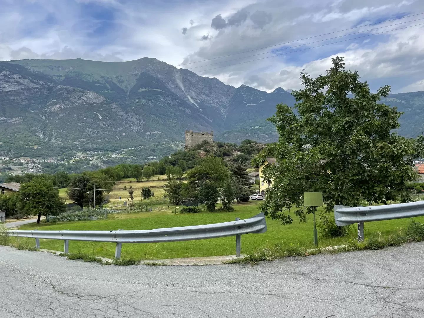
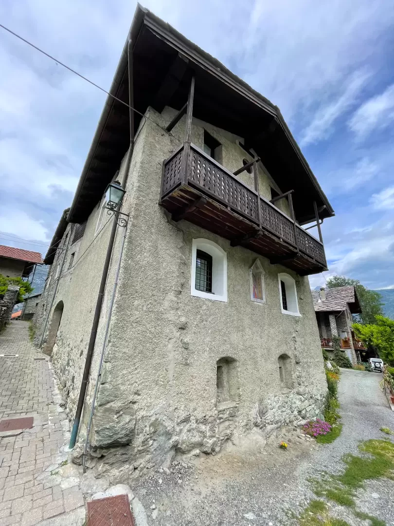
Ussel is a small village nestled on a glacial promontory overlooking the towns of Châtillon and Saint-Vincent. This charming village is often overlooked in favour of the better-known medieval monolithic castle. It is well worth a leisurely visit, following one of the various access routes. Here we describe the route starting from the regional road along the beautiful mule track that climbs above the Dora Baltea.
Description
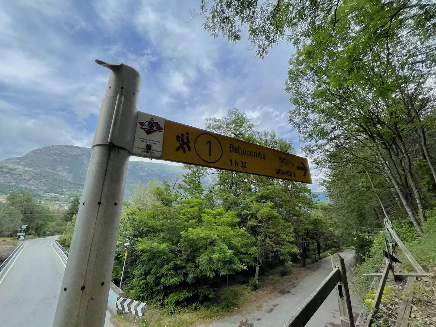
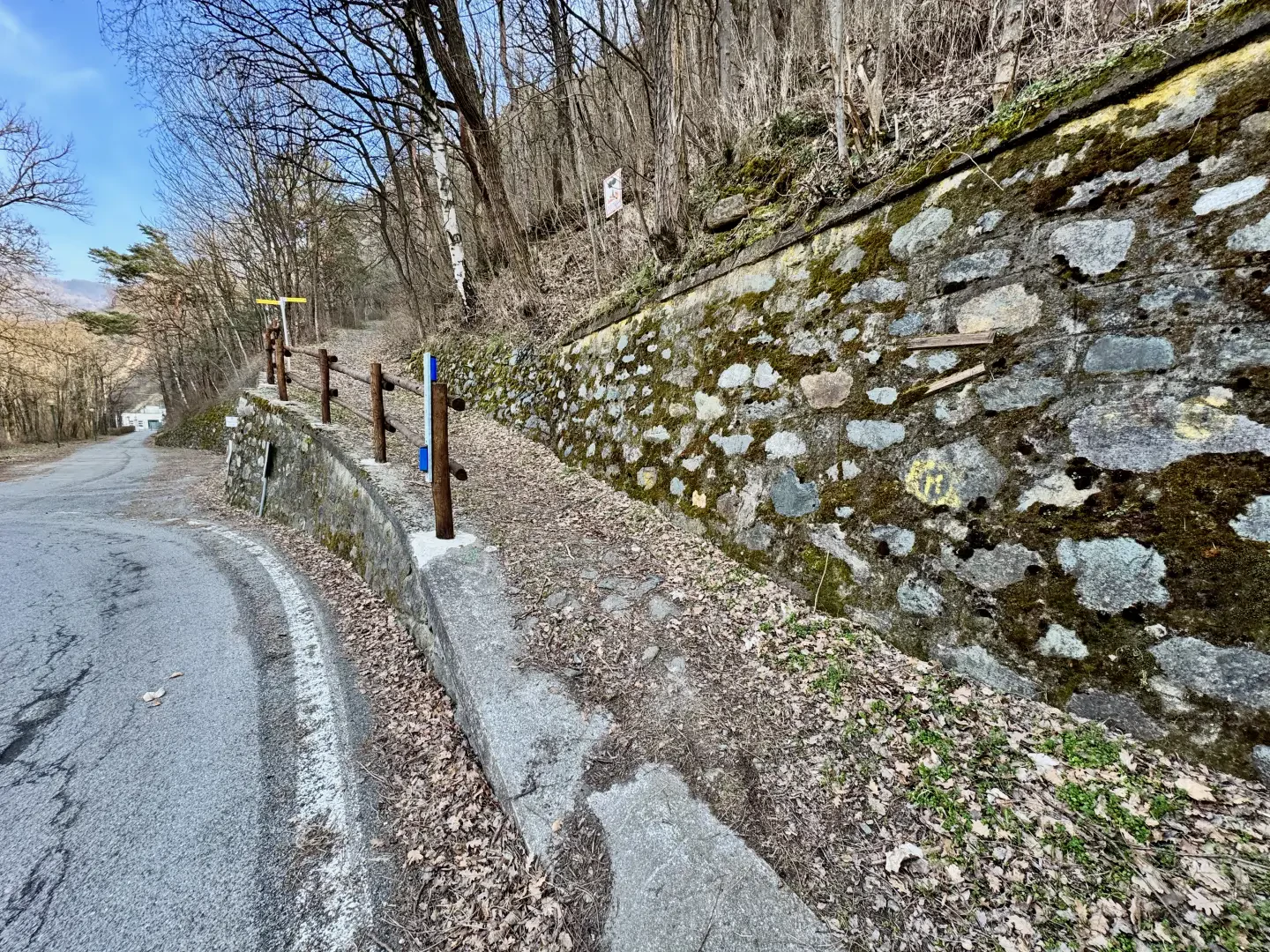
0h00' 0.00km Cross the regional road to reach the start of the path: after a few metres, near a signpost, you’ll come to a fork in the path.
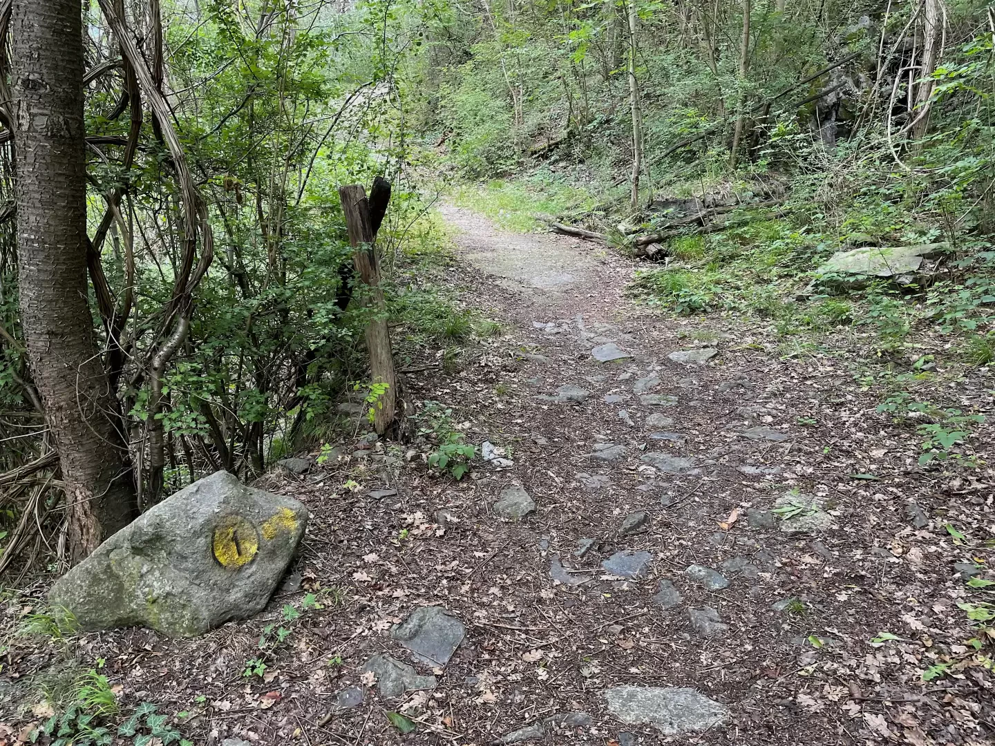
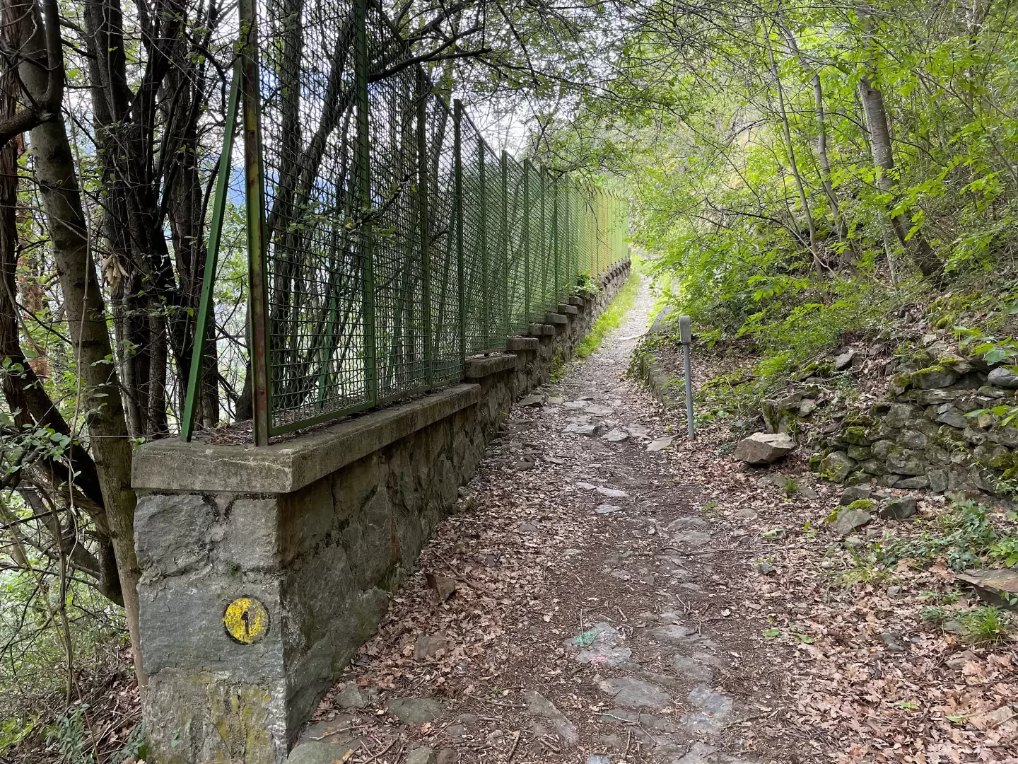
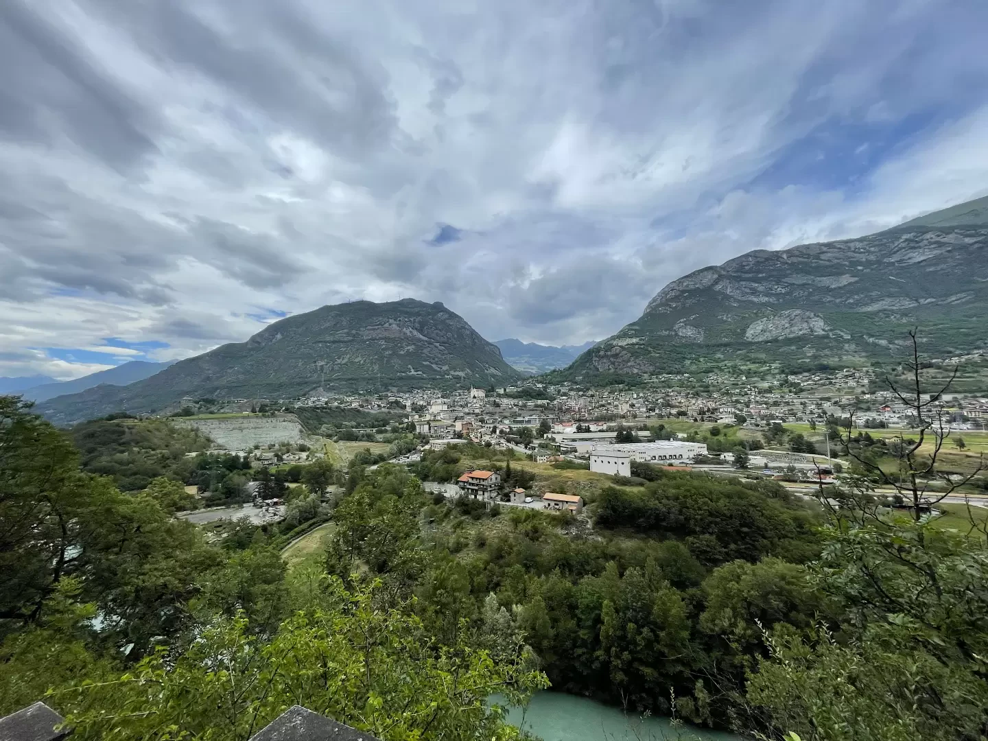
0h01' 0.01km Ignore the path towards Gimiod and, following the signposts for Bellecombe, continue straight on along the wide, gently ascending mule track. The lovely stone-paved mule track narrows near a small bridge, which precedes a low wall topped by a grille, protecting the Saint-Clair hydroelectric intake below. The trees thin out slightly, offering some interesting views of Châtillon and the Dora Baltea river below. A couple of sharp bends take you higher up and direct the route towards the Torrent de Pessey catchment area and its lush vegetation, eventually leading to a dirt track.
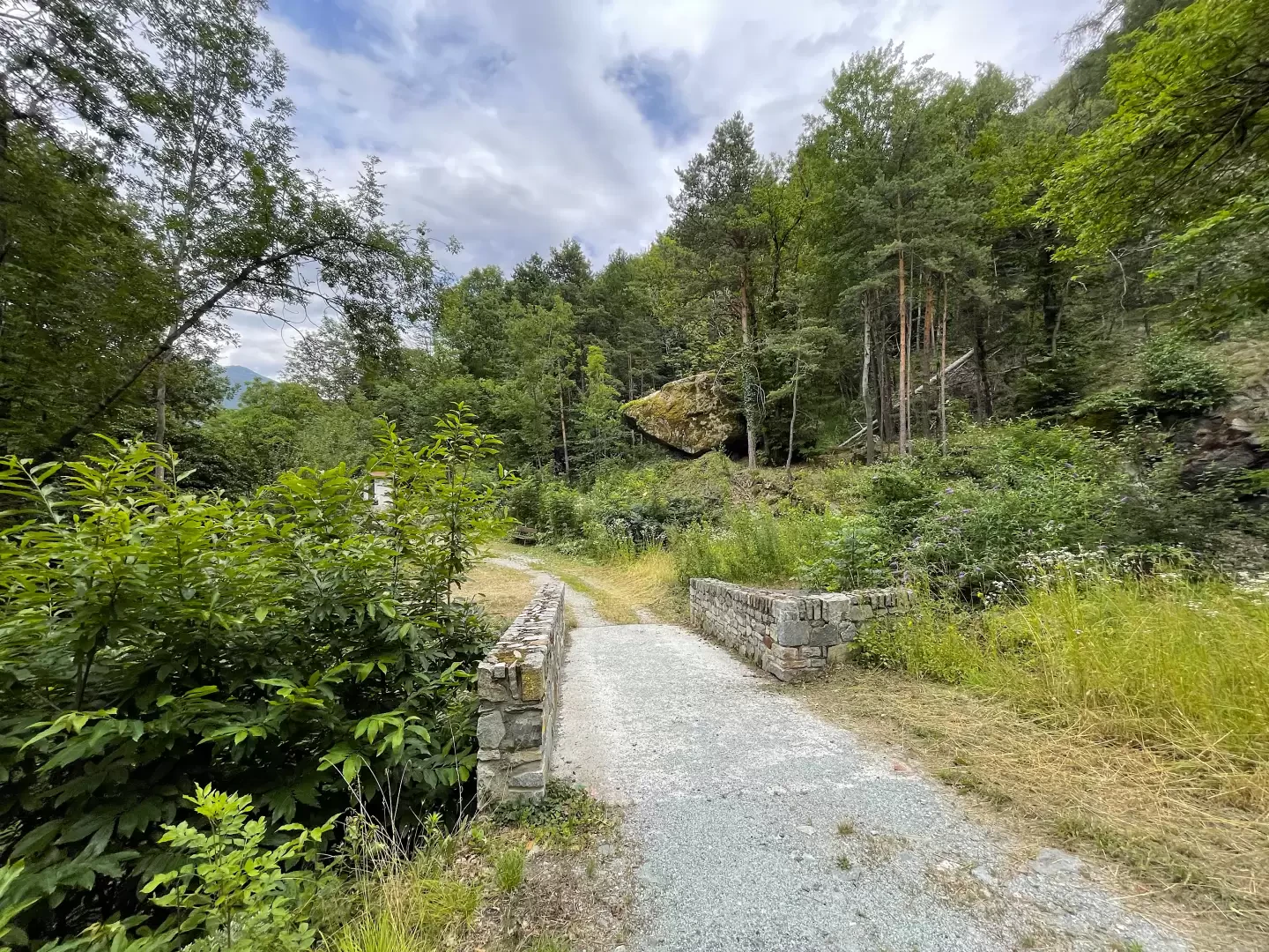
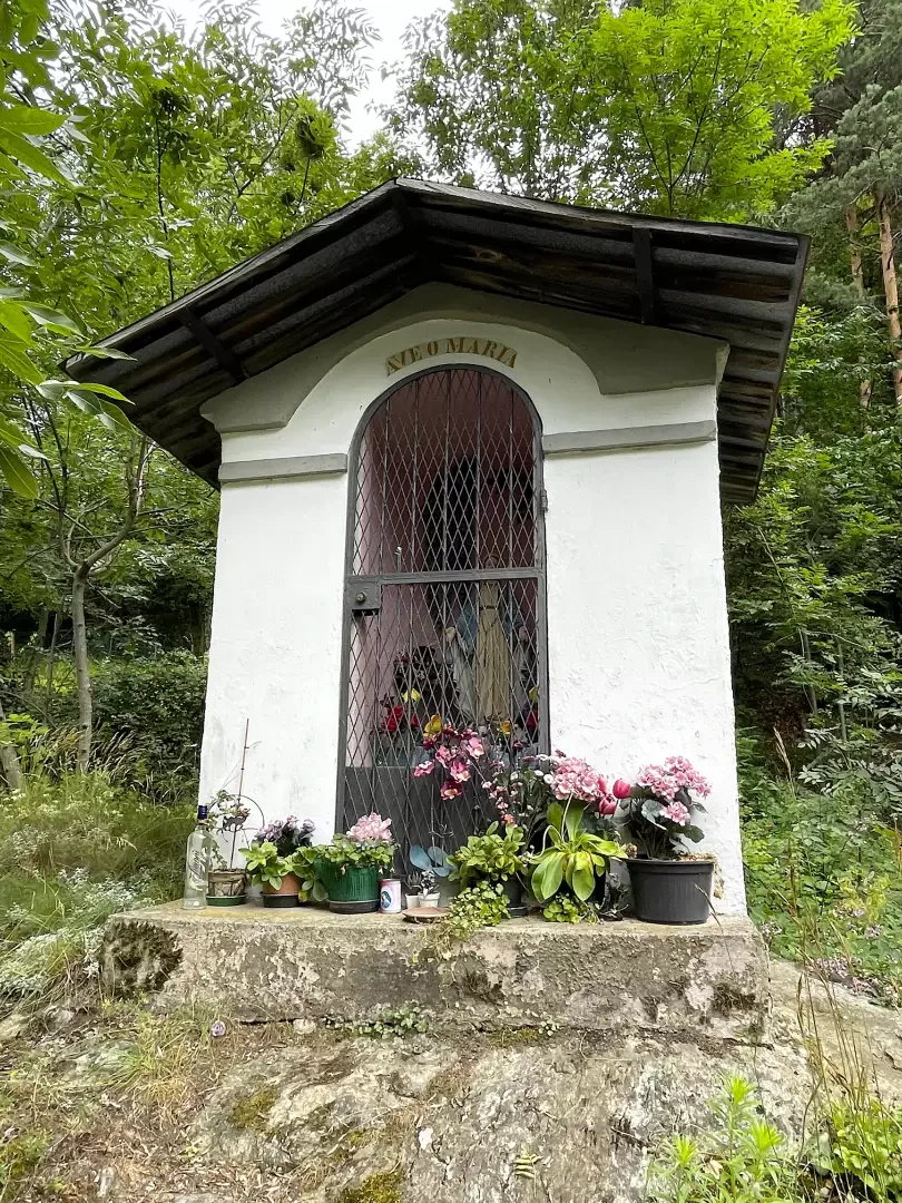
0h24' 0.77km Turn left and cross the bridge over the Torrent de Pessey. After passing a wayside shrine (592m), you reach another junction.
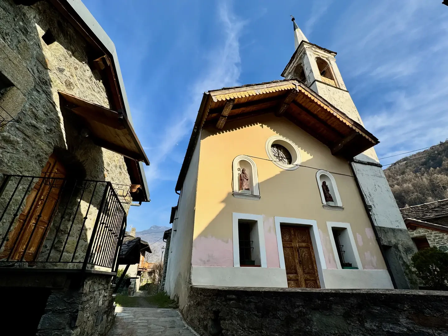
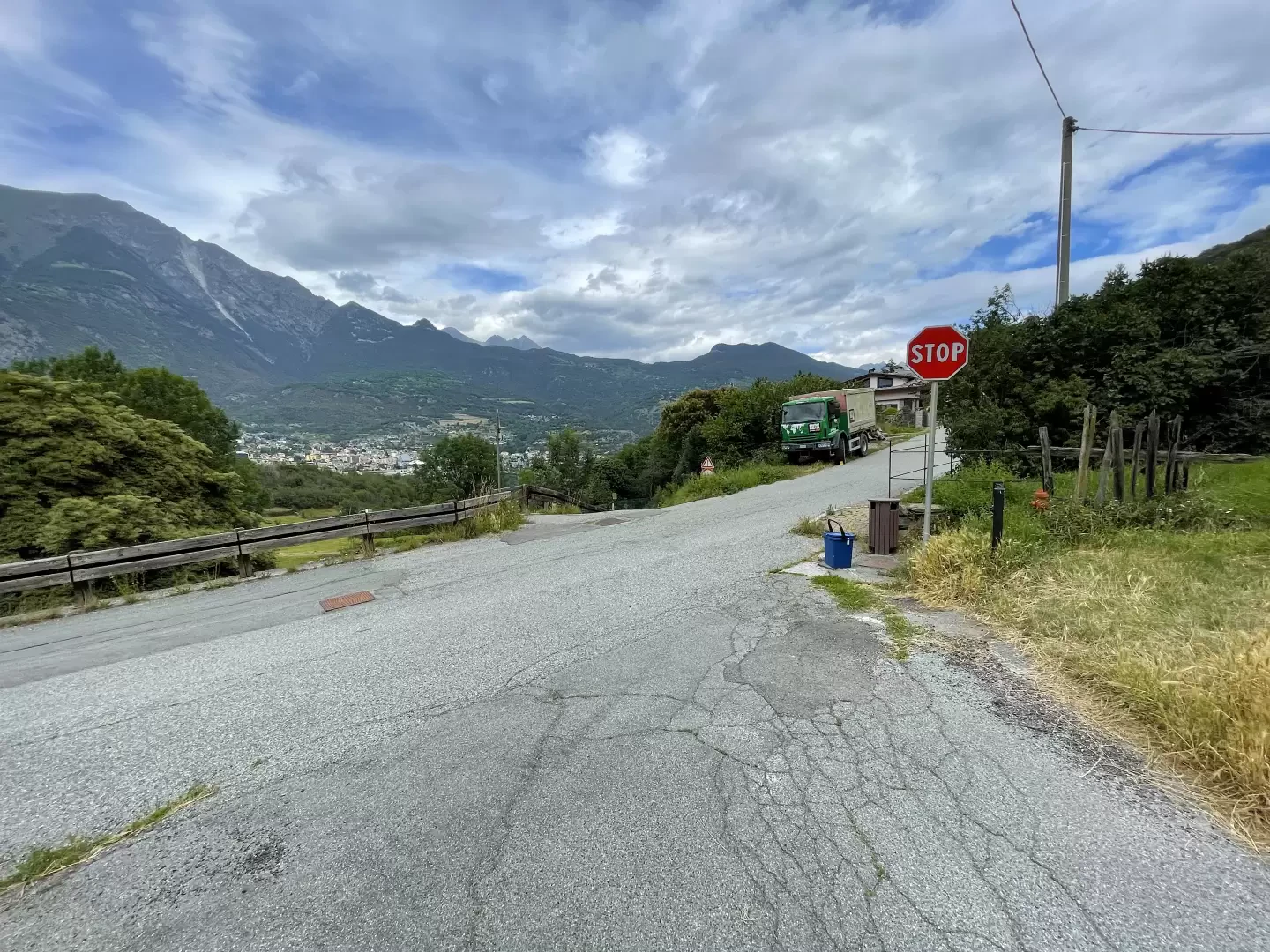
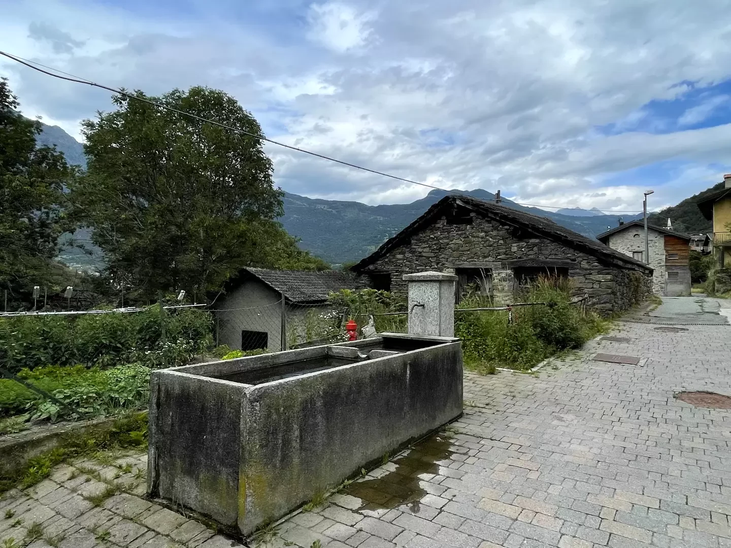
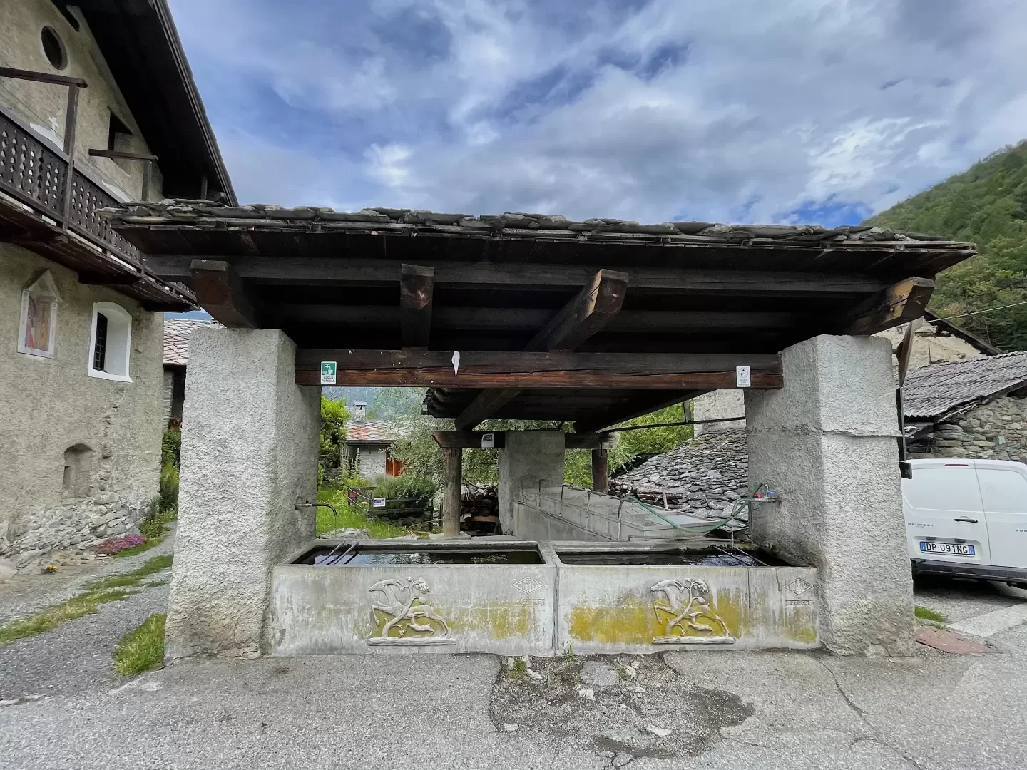
0h25' 0.83km Ignore the path to Bellecombe which branches off to the right and carry on straight ahead until you reach the small tarmac road. At a fork, keep to the right and make your way through the houses of Taxard, where you’ll come across a drinking fountain💧. Follow the almost level footpath until it joins the local road to Bellecombe. Follow the road to the right and, after a couple of bends within the village, you’ll reach a lovely drinking fountain 💧 with a washhouse. Turn left and follow a narrow path through the houses until you reach the charming chapel dedicated to Saint Roch (602m) 0h35' 1.35km (148 m elevation gain) (1 m elevation loss).
The return journey follows the same route as the outward journey 0h20' 1.35km (1 m elevation gain) (148 m elevation loss).
Places of interest
Taxard
Ussel
Chapel of Saint Roch in Ussel
Collections
Photo gallery
Comments (0)
Sign in to leave a comment