
Edited by:
Massimo Martini
Sunday 27 July 2025
Edited by:
Massimo Martini
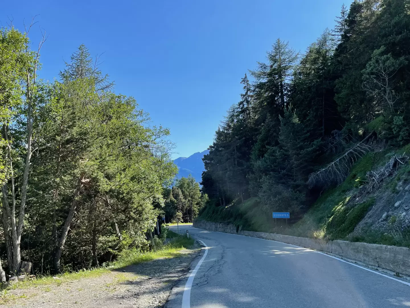
Leave the Châtillon motorway junction [A5]. Turn left onto Via E. Chanoux. Go round the roundabout, taking the third exit, and continue through the historic centre for about 600 metres. Turn right onto Via Menabrea and continue to the roundabout featuring the ‘Matterhorn’ in the centre. Take the second exit and continue on the regional road . Follow the for 8 kilometres to Antey-Saint-André, then turn left onto regional road , following the signs for Torgnon. Drive up the valley for just over 6 kilometres, passing through the hamlet of Mognod and reaching the village of Torgnon. At the entrance to the village, turn left, following the signs for Col Saint-Pantaléon, and take the regional road . Continue for 3.2 kilometres along a scenic road until you reach a large car park on the left, situated just before the pass.
🕒 Journey time: 29 minutes
📏 Distance: 19.5 km
📍 How to get there with Google Maps
📍 How to get there with Apple Maps
The directions provided were verified on the date the route was mapped. Before setting off, it is advisable to check for any changes to the route. For up-to-date and detailed directions, we recommend using Google Maps or Apple Maps.
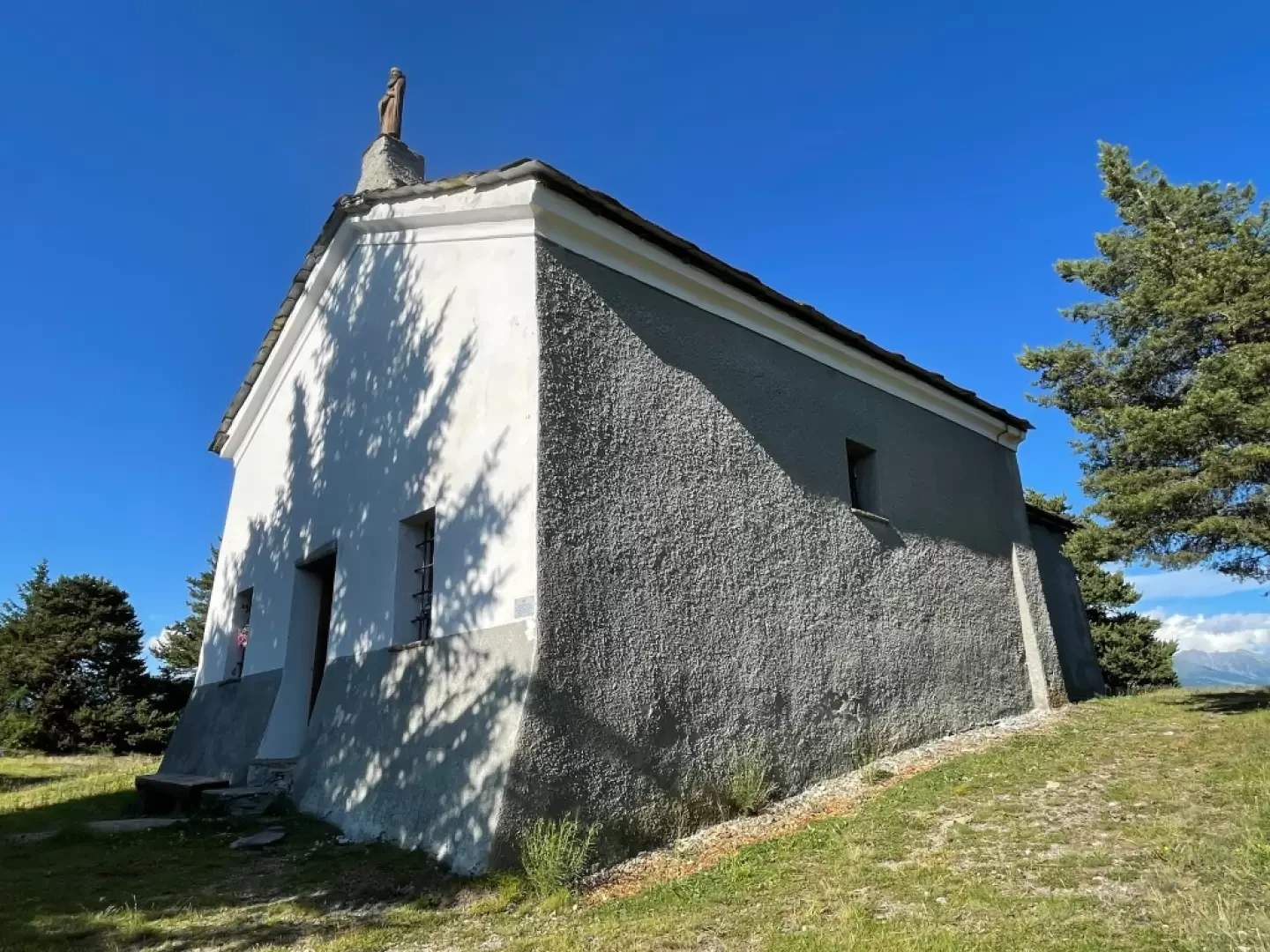
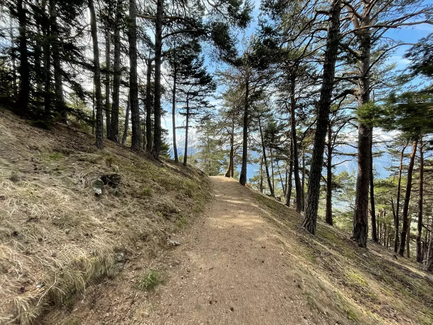
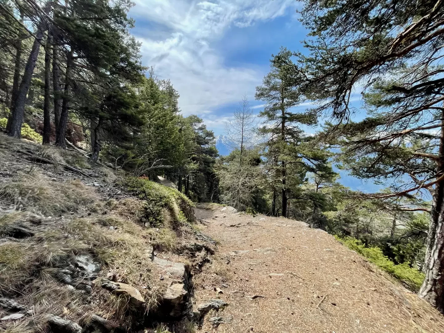
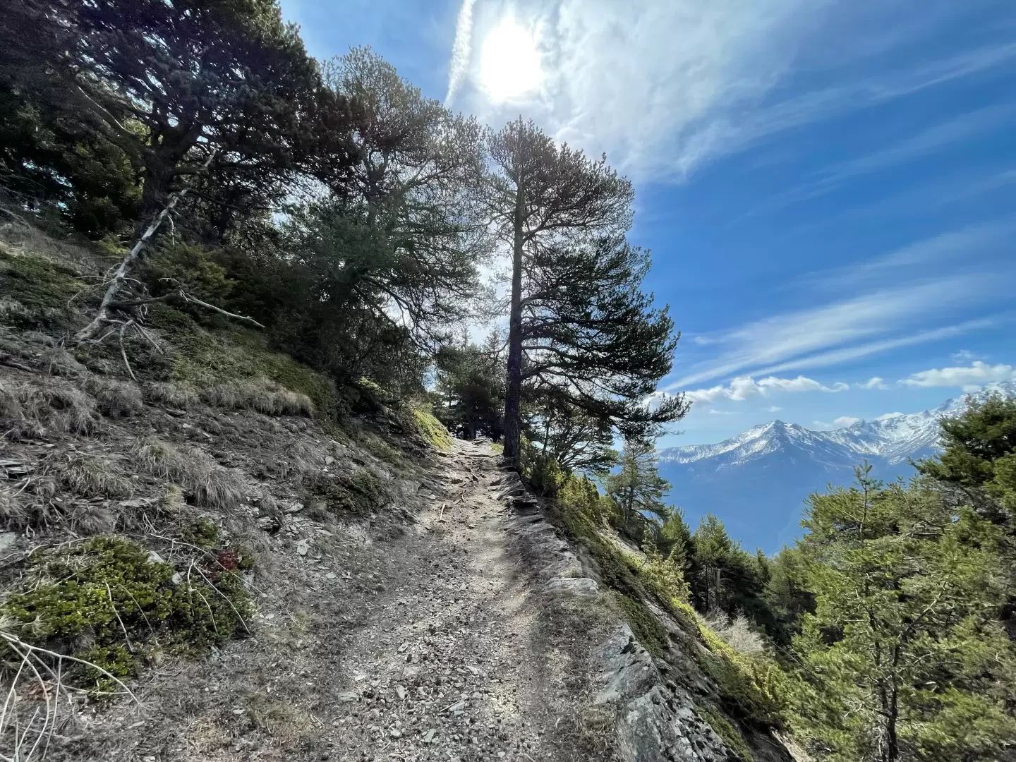
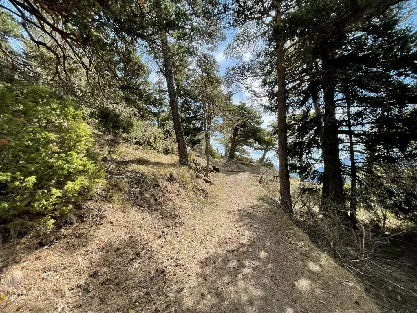
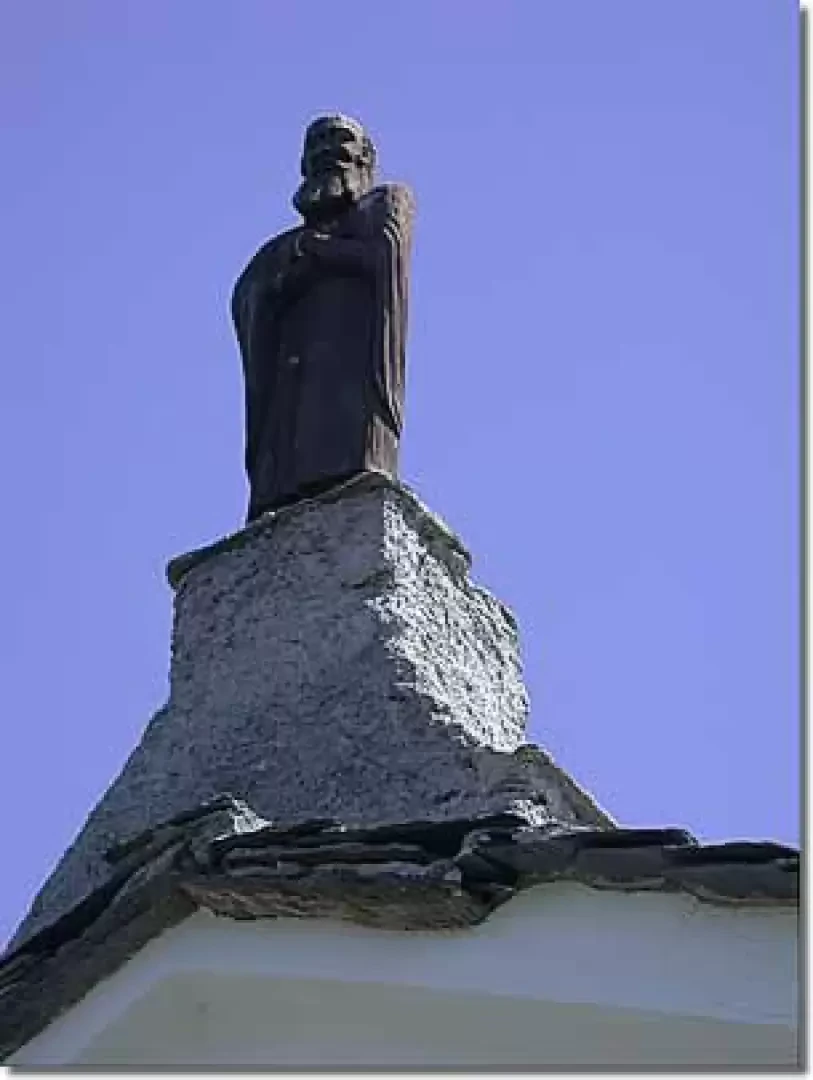
This short route follows the ridge that separates the Valtournenche valley from the plateaus of Saint-Denis and Verrayes, winding through quiet woods and offering sweeping panoramic views. The path, which is easy to follow and not particularly demanding, is also ideal for a leisurely mountain bike ride or a relaxed walk, perhaps with a stop for lunch near the end of the route. Along the route, you’ll come across several examples of popular devotion, such as the chapel of Saint-Pantaléon and the striking hollow rock of Sez de Creuvö, until you reach the hermitage of Saint-Evence (1,674 m), now a chapel overlooking a magnificent viewpoint. According to tradition, a veteran of the legendary Theban Legion is said to have taken refuge here… although history and legend may well be intertwined.
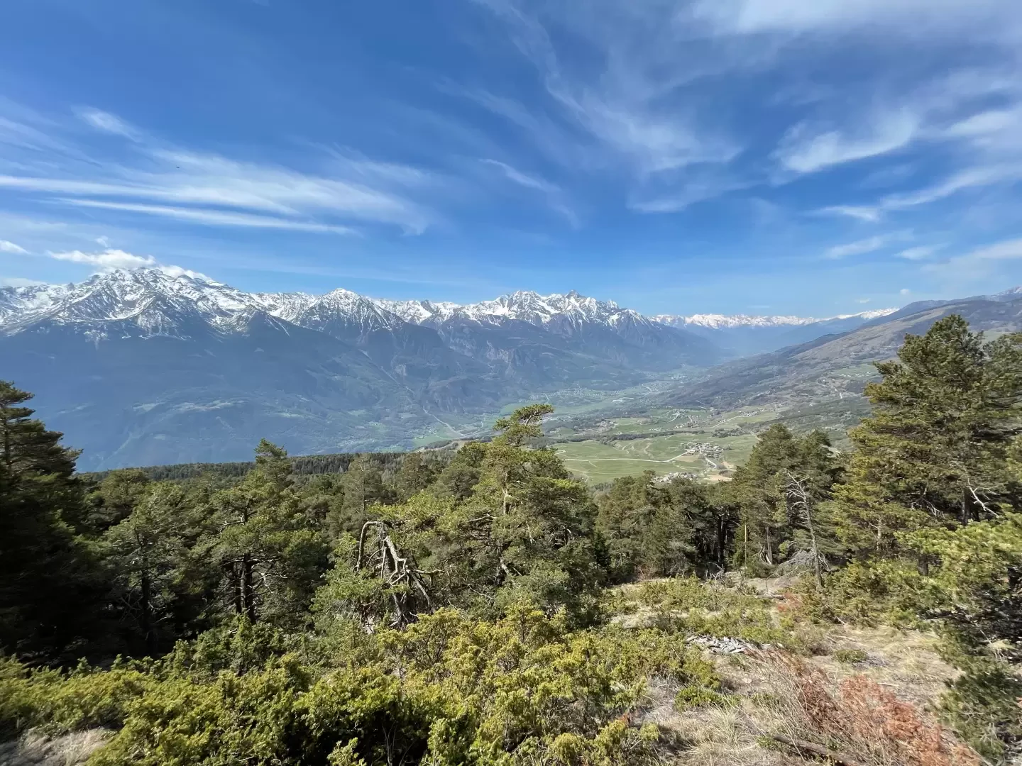
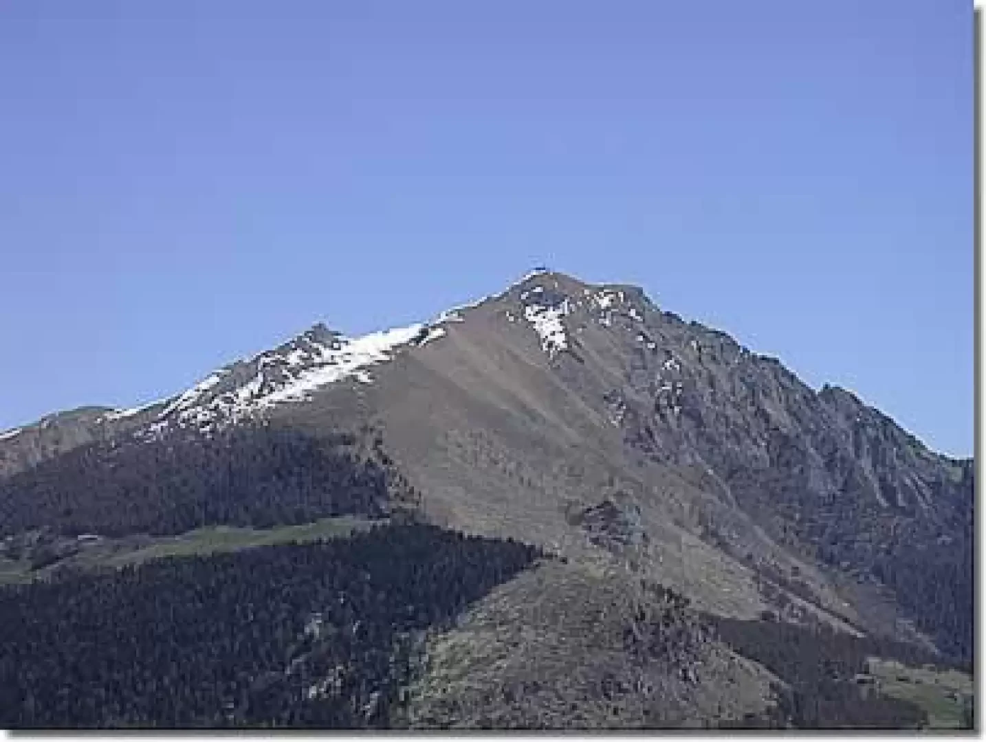
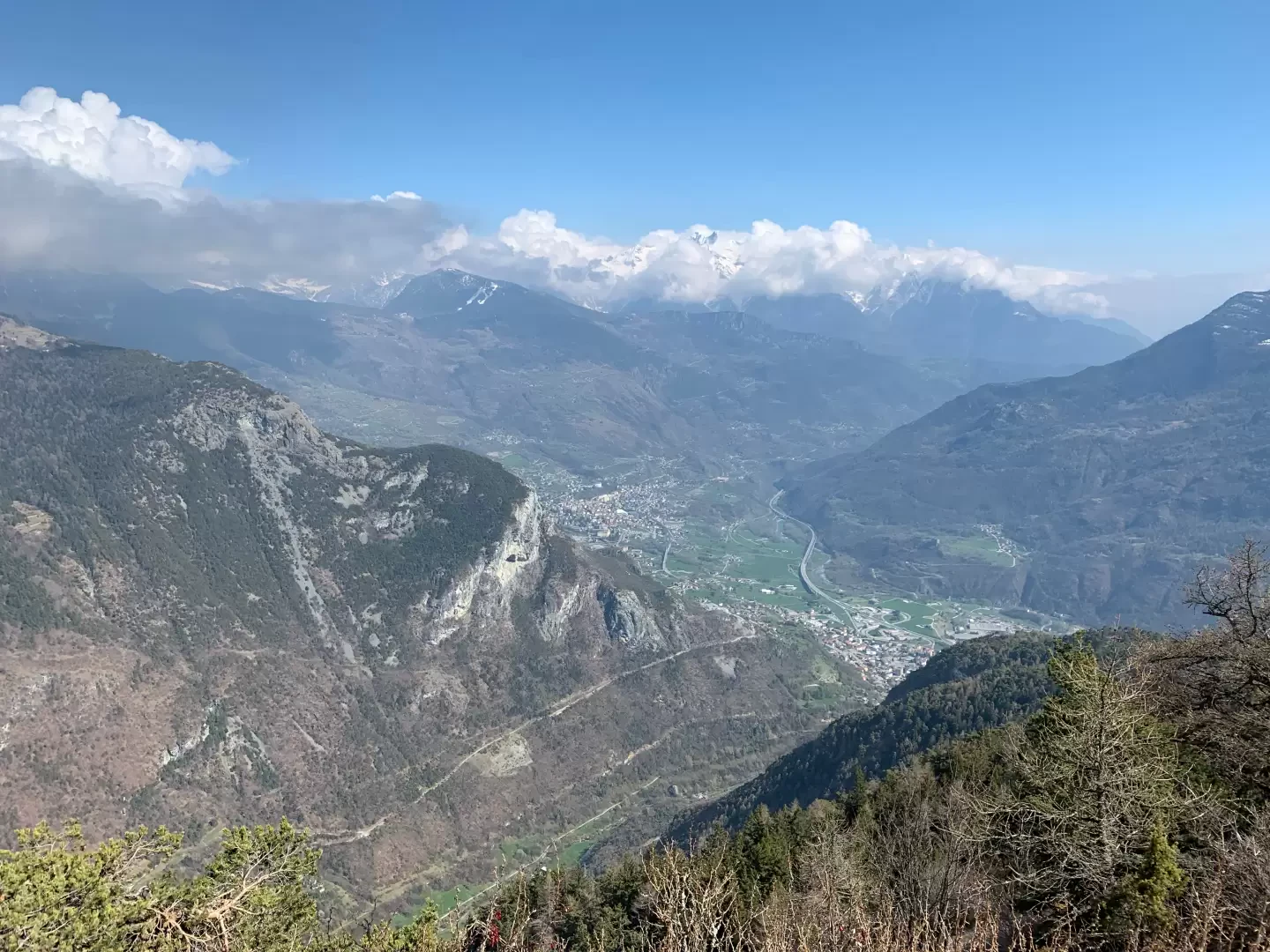
From the chapel, the view sweeps across the main peaks that frame the middle and lower central valley, from Mont Tantané to Barbeston, all the way to Becca di Viou. A simple hike, yet one that combines nature, history and landscape into a single experience.
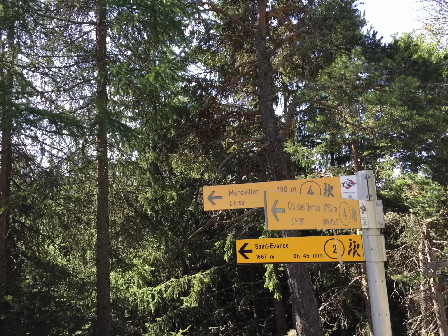
0h00' 0.00km Leave the car park and walk briefly down the regional road until you come to the signpost on the left indicating the start of the path to the Chapel of Saint-Evence.
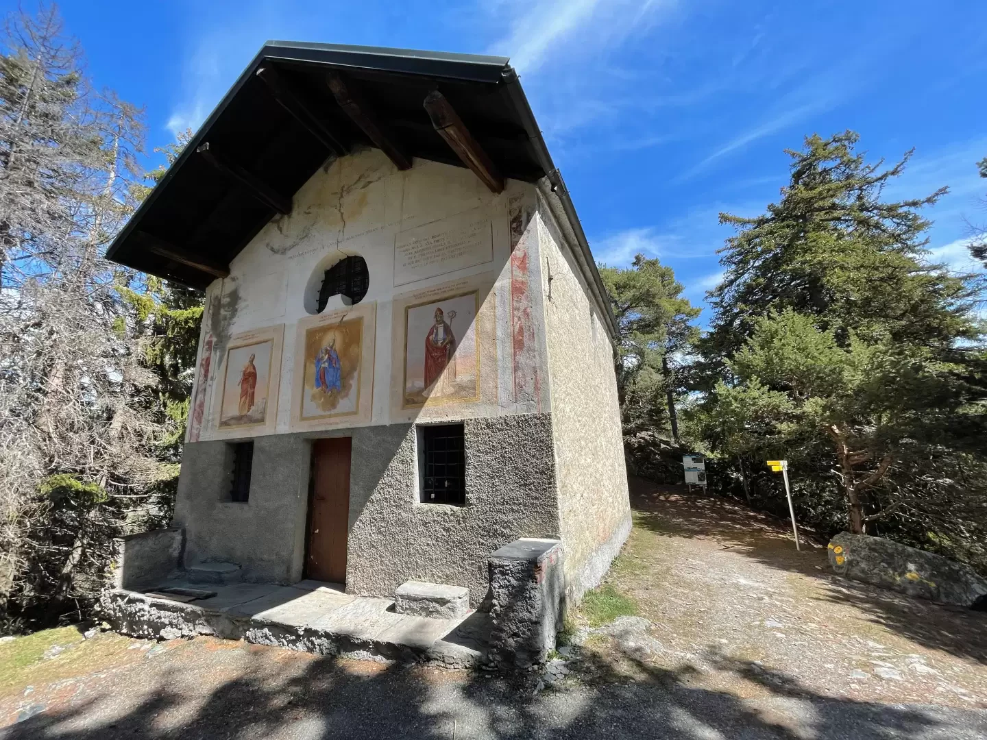
0h01' 0.04km Turn left and take the short, downhill dirt track leading to the Chapel of Saint-Pantaléon (1,645 m), a building dating from 1845 constructed on the ruins of an older oratory.
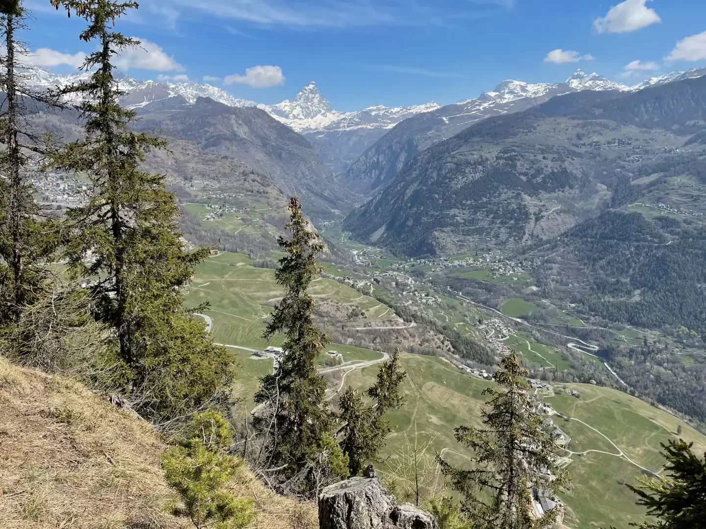
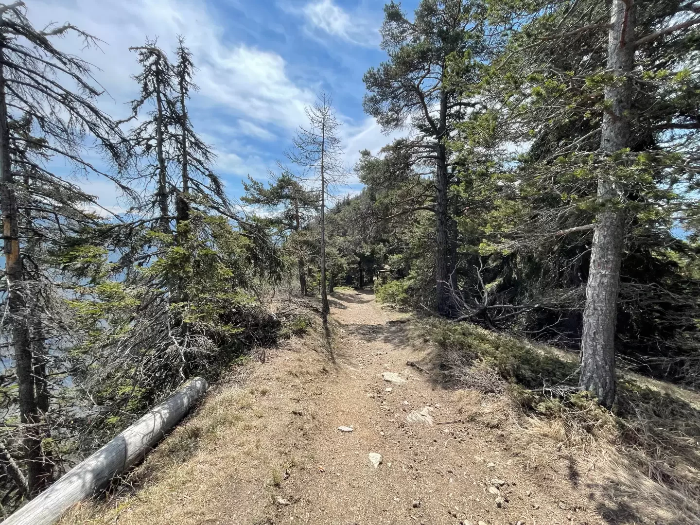
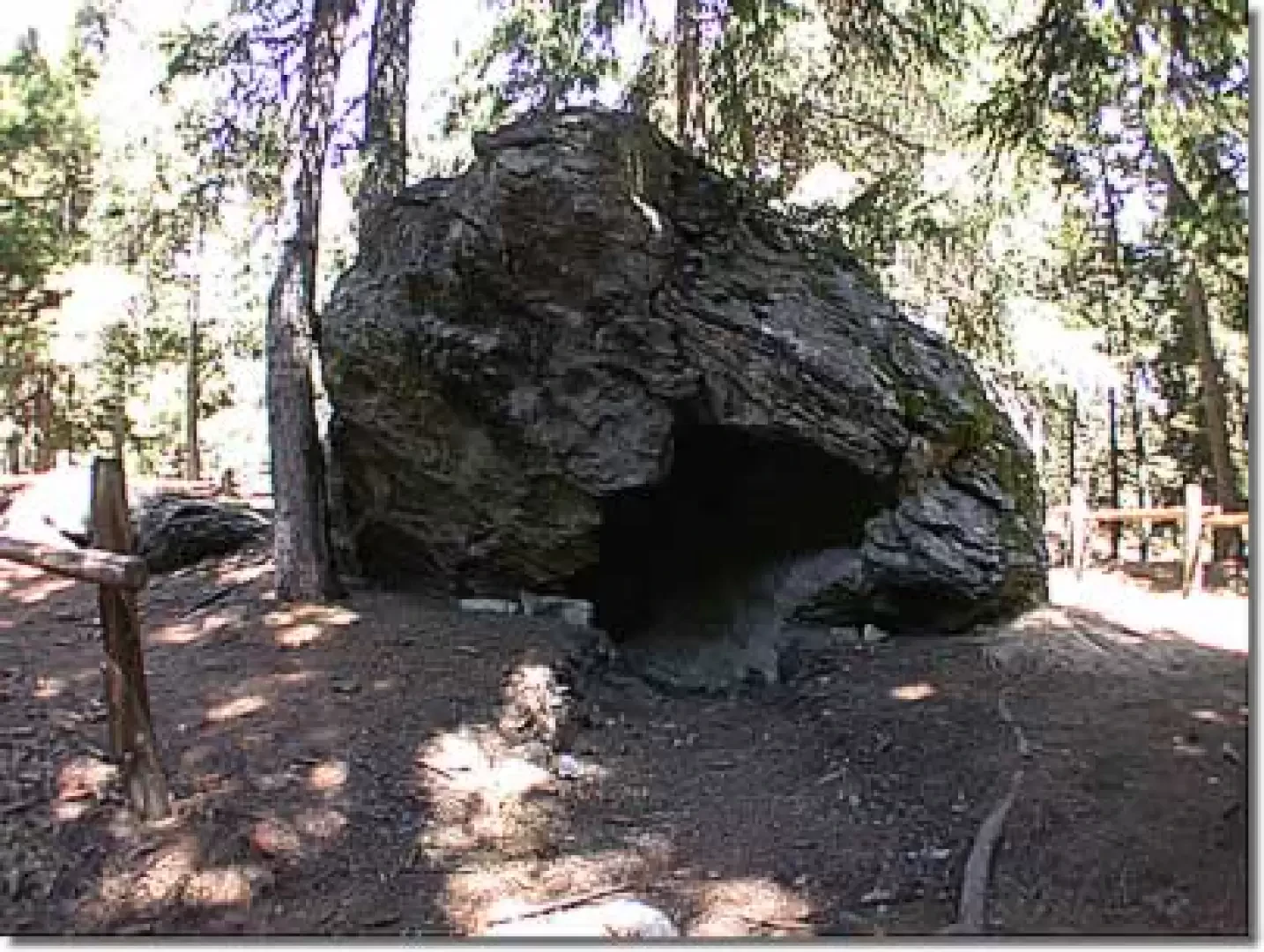
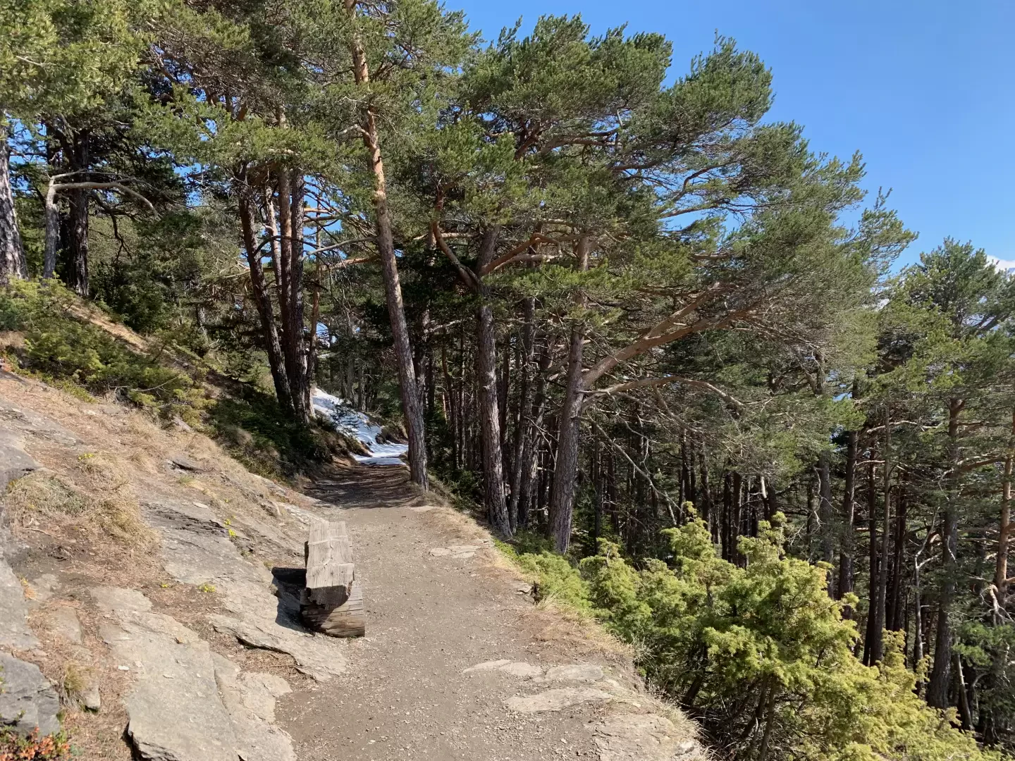
0h05' 0.04km Continue past the chapel and enter a dense, picturesque coniferous forest, from which you can admire panoramic views of the Matterhorn and the Valtournenche valley on one side, and the Emilius massif and the underlying plateaus of Saint-Denis and Verrayes on the other. The wide, easy path winds gently along the ridge that forms the watershed between the Valtournenche and the aforementioned plateaus, with a series of gentle ups and downs. Watch out for the numerous side paths and always stay on the main route, which is clearly marked. After about twenty minutes’ walk, turn left and take a narrow path that climbs through the woods for about a hundred metres, until you reach the Sez de Creuvö, a curious hollow rock. Then return to the main path to continue the walk.
0h20' 0.92km Back on the main route, the path passes a number of benches which, positioned along the way, allow you to enjoy the beautiful view opening out over the central valley. Finally, you reach the clearing where the distinctive chapel stands (1,674m), 0h50' 2.56km (74 m ascent) (82 m descent).
The return journey follows the same route as the outward journey 0h45' 2.56km (82 m elevation gain) (74 m elevation loss).
Edited by:
Massimo Martini
Comments (0)
Sign in to leave a comment