Leave the [A5] motorway at the Aosta Est exit and continue along the motorway slip road for 350m (0.35km). Take the exit onto the state road towards Aosta Centro for 100m (0.45km). At the roundabout, take the second exit and continue on the for 2.6km (3.05km). At the next roundabout, take the first exit and join Viale del Gran San Bernardo, following it for 3.3 km (6.35 km) until you join the state road. Follow the for 10.9 km (17.25 km), passing through the village of Gignod, until you reach the junction for Buthier Gorrey. Turn left and take the local road to Buthier Gorrey, following it for 2.5 km (19.75 km). Turn slightly to the right and continue for 800 m (20.55 km), then carry on straight for 1.1 km (21.65 km) until you reach the car park.
Car park
At the end of the tarmac road, in the hamlet of Mendey, there is a free 🅿️ car park. This is the starting point for the route to the Chaligne Mountain Hut.
Access by public transport
To reach the starting point of the route, you will need a private vehicle, as Mendey is not served by public transport.
The route described is a diversion due to the closure of the A5-SS27/E27 link tunnel and remains valid until the end of June 2027. Once the tunnel reopens, the route will need to be revised to return to the standard route.
Information note
The directions provided were verified on the date the route was surveyed. Before setting off, we recommend checking for any changes to the route or road conditions. For up-to-date information, please consult Google Maps or Apple Maps.
Introduction
The Pointe de Chaligne is the highest peak in the municipalities of Aosta and Gignod. Every year, on 16 August, a famous procession takes place from Gignod to the summit. The route suggested here, however, allows you to complete a lovely circular walk by ascending the distinctive Crête de Tardiva.
Description
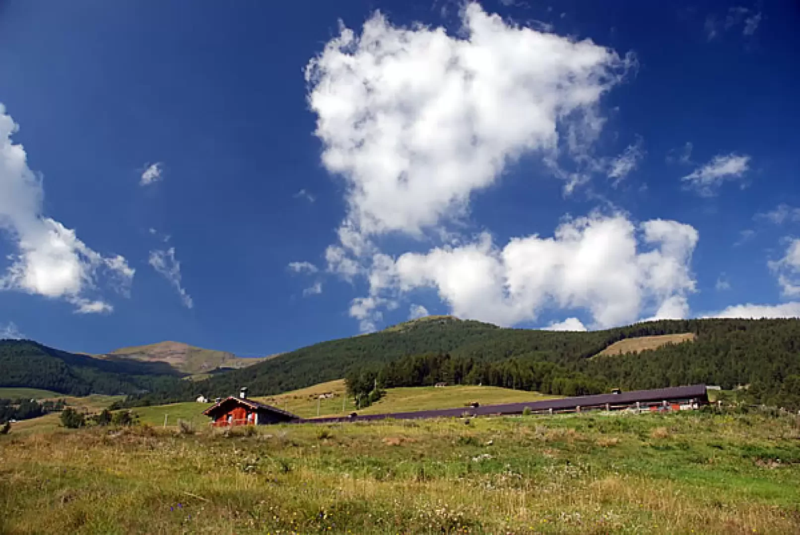
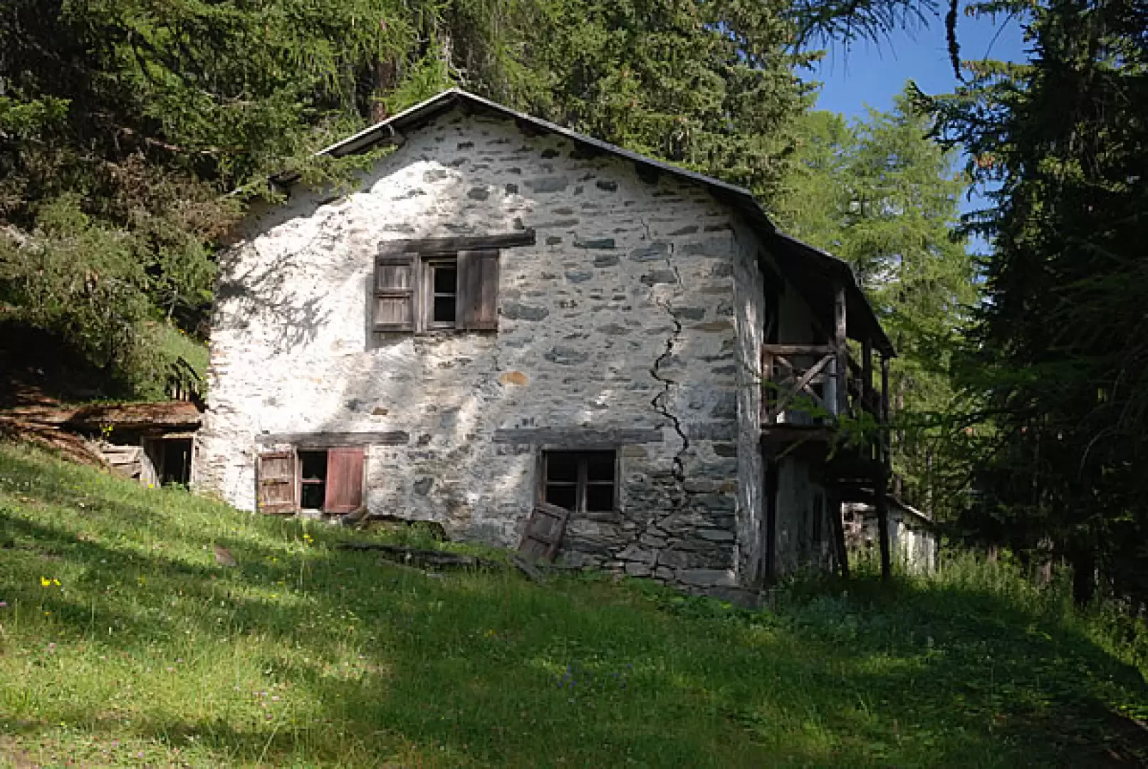
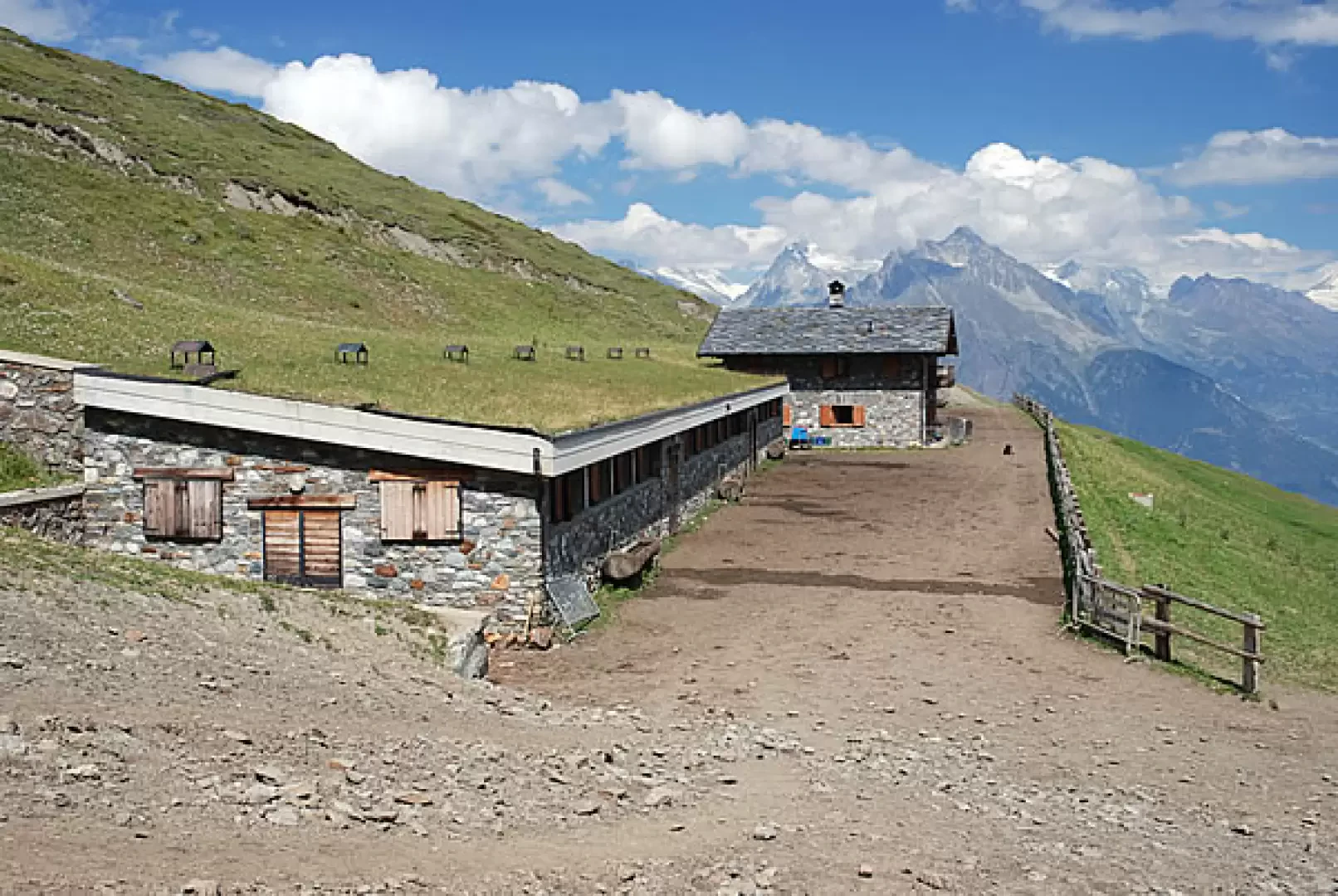
After leaving the car, you set off along a narrow farm track heading south. The path climbs gently and you soon cross into the lovely pasture below Mendey, whilst a beautiful view of the Pointe de Chaligne opens up before you. After a couple of hairpin bends, you reach the long Mendey mountain pasture (1547m, 0h05'); continue slightly uphill until you reach a crossroads: turn right and follow the track until you come to the junction for the Chaligne refuge (1,590 m, 0h15’): ignore the turn-off to the left and carry on until you first come to a ruin and then an aqueduct; to the left of the aqueduct, you’ll find the path leading uphill. Climb up through the short stretch of woodland until you reach a small clearing at the foot of a mountain pasture. Turn slightly left and you’ll reach a track: head left and, shortly afterwards, right, continuing along the grassy track which soon reaches the farmsteads of Meriau Damon (1,740 m, 0h40’). Continue along the track which, after a couple of hairpin bends, winds through the woods until it reaches another pasture: here the track turns left and climbs straight up to Collet (1,919 m, 1h00). After a short stretch, you reach the farm track to Ars. The trail markers
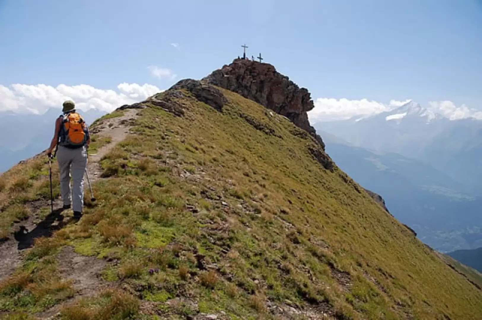
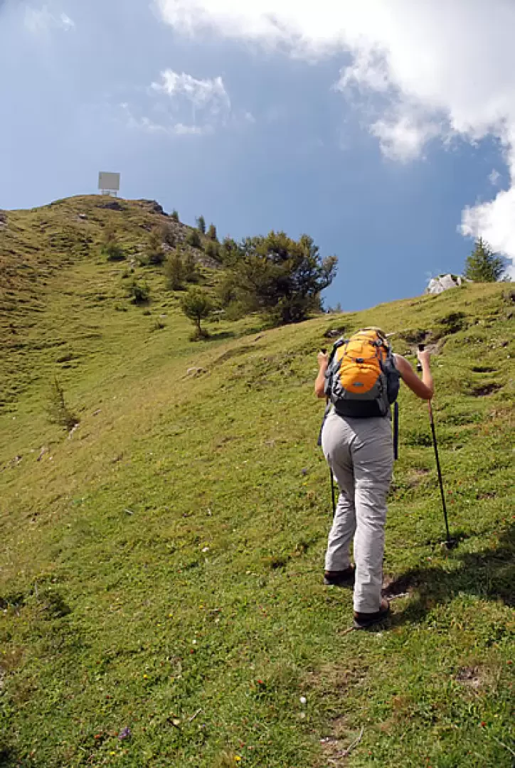
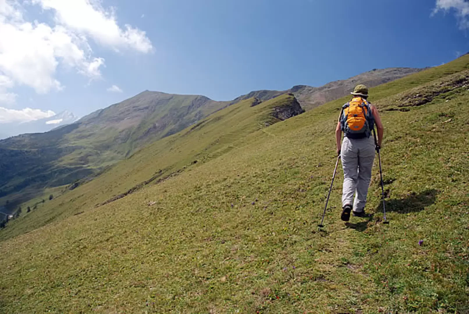
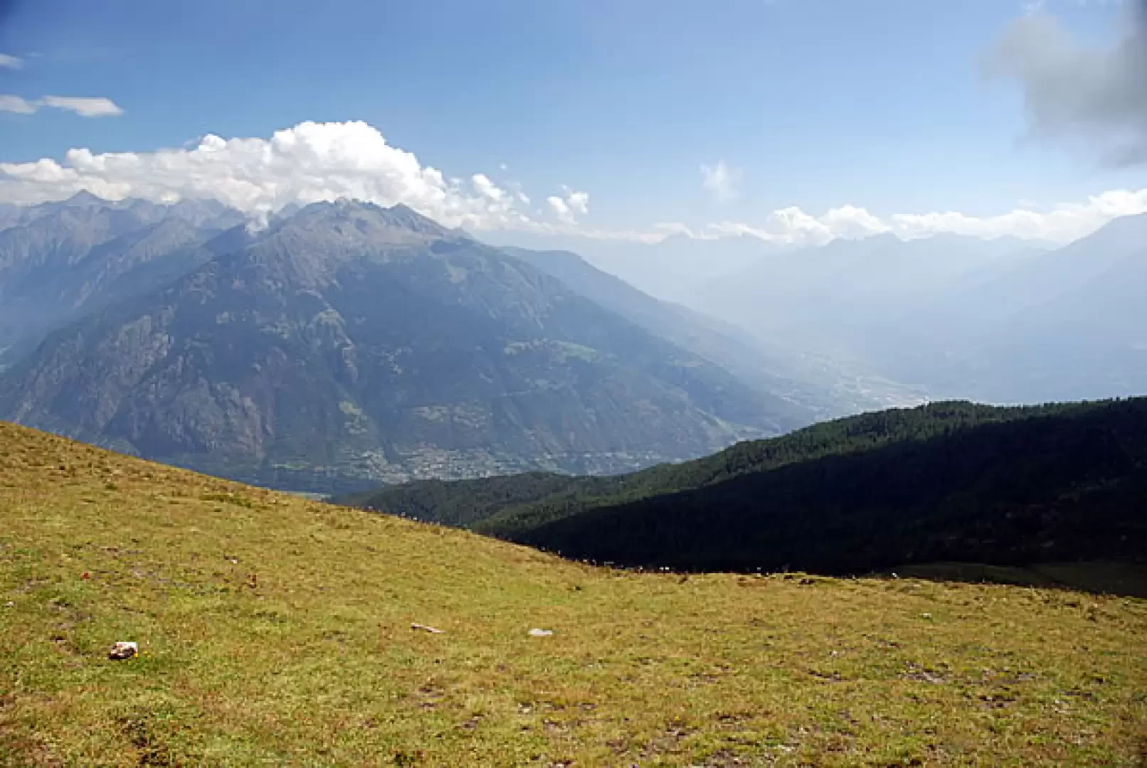
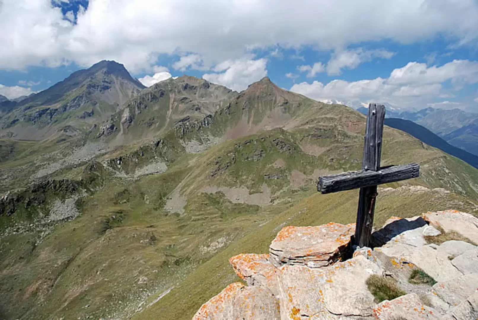
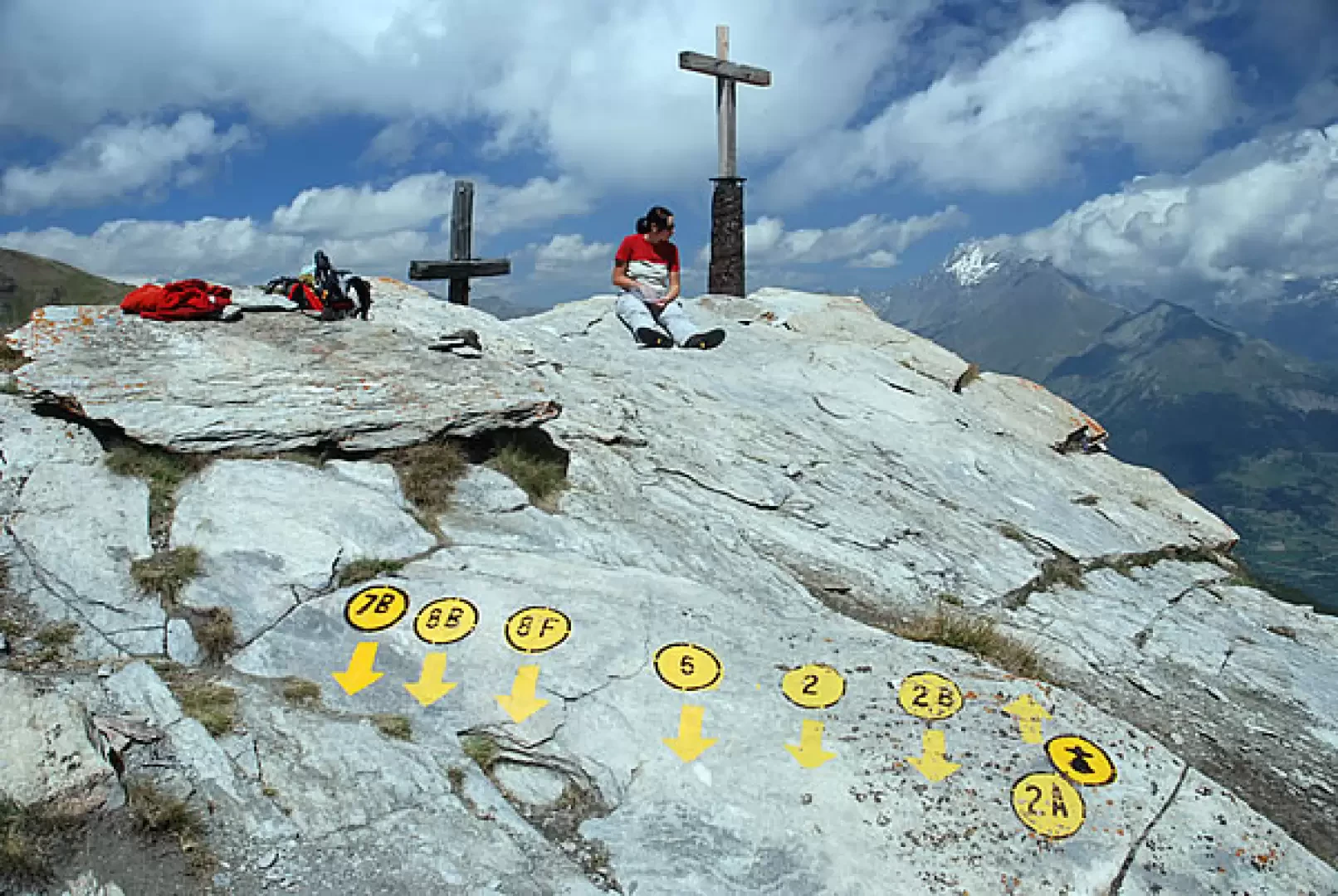
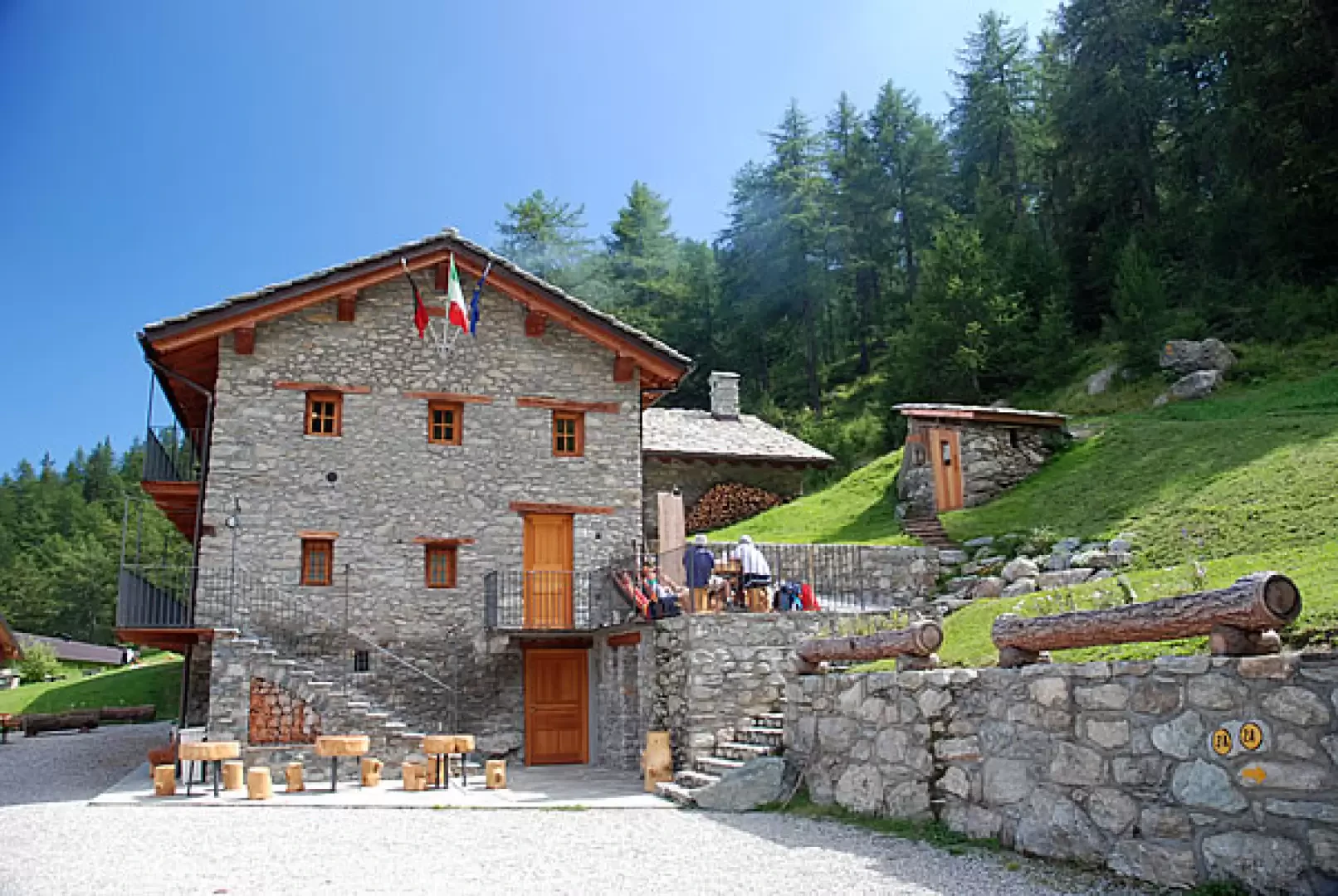
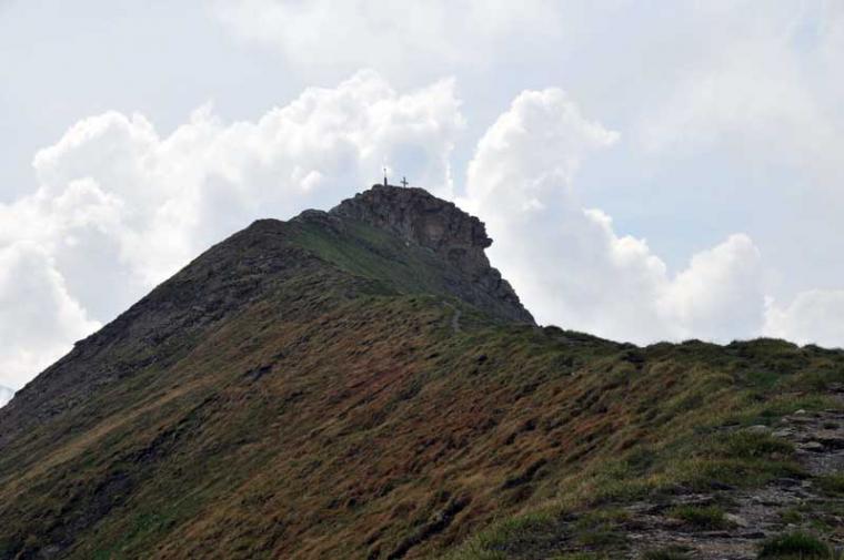
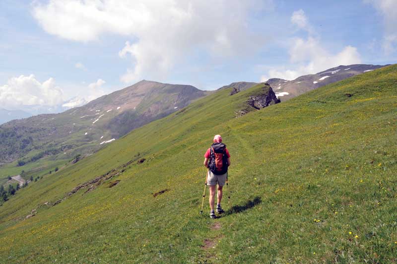
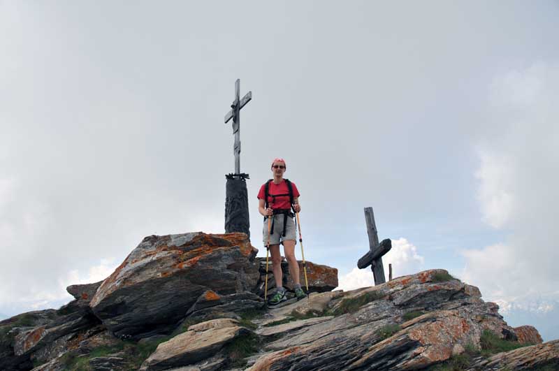
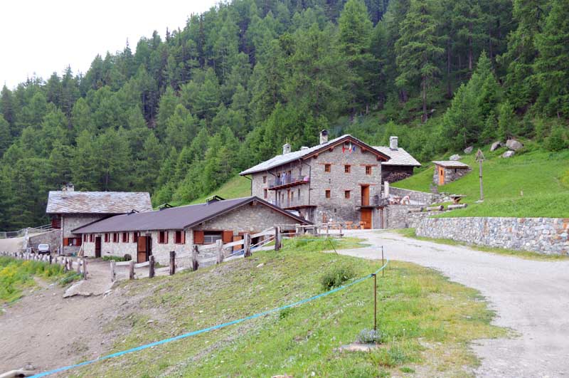
come into view: you re-enter the woods and climb a rather steep section through the dense fir forest. Gradually, the path levels out and crosses a few small clearings where it is not uncommon to come across roe deer. The ascent continues gently, veering to the left; the woodland thins out and you soon reach the farm track (2,100 m, 1h 30’). Follow the dirt track for a few hundred metres until you come across the path again, which branches off to the right; take this path and climb the final stretch of the ridge until you reach a small plateau where a wooden cross stands. The woodland now gives way to grassland that wraps around the steep ridges. After taking in the first panoramic views, you reach the telecoms mast and from there continue along the very edge – or almost – of the Crête de Tardiva (Costa Tardiva). This section of the route is particularly picturesque; you proceed along a few short ups and downs, and your destination comes into clear view ahead. Once you’ve passed the long stretch of the Costa, you reach the Col de Tardiva (2,410 m, 2h 30’): a small pass linking the Comba de Chaligne with the Ars valley. Ignore the paths you cross and carry on straight ahead, climbing a small grassy outcrop and reaching the edge of a final rocky outcrop. Climb the stony ridge, still on an easy path, until you join the ridge of the Pointe de Chaligne–Mont de la Tsa range. You now proceed slightly downhill towards the south until you reach the small depression that precedes the final ridge. Climb a very short step and follow the lovely path along the crest until you reach Pointe de Chaligne (2,607 m, 3h00). The descent can be made via the same route as the ascent (1h 45’); alternatively, descend back down to the Col de Metz along the path, then follow the path diagonally to the right to the Tsa de Chaligne (2,225 m). From the Tsa, descend first through the pasture and then through the woodland until you reach the Chaligne Hut (1,936 m); finally, from the hut, return to the starting point via path (3A) (1h 45’).
Percorso ad anello con salita dalla costa Tardiva e discesa dal rifugio Chaligne. Qualche albero abbattuto e sentiero che a tratti si perde un po' nella vegetazione nella parte bassa dell'itinerario e nel bosco. Avvistato qualche camoscio nel versante nord della costa Tardiva e per il resto nessuno in giro. Tempo bello al mattino e un po' di cumuli nel pomeriggio; caldo torrido.
Avvistamenti faunistici: Rupicapra rupicapra
Galleria fotografica
Percorso ad anello con salita dalla costa Tardiva e discesa dal rifugio Chaligne. Qualche albero abbattuto e sentiero che a tratti si perde un po' nella vegetazione nella parte bassa dell'itinerario e nel bosco. Avvistato qualche camoscio nel versante nord della costa Tardiva e per il resto nessuno in giro. Tempo bello al mattino e un po' di cumuli nel pomeriggio; caldo torrido.
Avvistamenti faunistici: Rupicapra rupicapra
Galleria fotografica


Comments (0)
Sign in to leave a comment