Lac Lochien, from Mandriou

Edited by:
Massimo Martini
Updated at: 12/08/2026
Access
Road directions
Leave the A5 motorway at the Verrès toll booth (toll section) and continue for 38 metres (0.04 km) towards the roundabout. At the roundabout, take the second exit and follow Via Caduti della Libertà/SR45 for 300 metres (0.34 km). Turn left onto Via Canonici Regolari Lateranensi/SR45 and continue for 3.5 km (3.84 km). Continue along the SR45 for 18.5 km (22.34 km), travelling up the valley and passing through the villages of Challand-Saint-Victor, Challand-Saint-Anselme, Brusson, Vollon and Extrapieraz, until you reach the junction for Antagnod in the hamlet of Corbet. Turn left onto Frazione Corbet for 210 m (22.55 km), then continue along Frazione Trochey and Meytere for 400 m (22.95 km). Continue along the SR4 for 1.4 km (24.35 km), then along Route Monsignore Obert for 350m (24.70km) and along Boulevard des Sabotiers for 700m (25.40km), which curves slightly to the left to become Route Emilio Chanoux: continue for 1.3km (26.70km). Keep to the left and continue along Route de Mandriou for 1.7 km (28.40 km) until you reach the car park, situated just before the village.
Car park
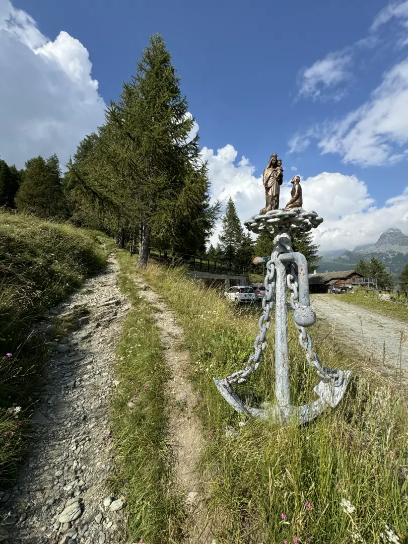
In Mandriou there is a free 🅿️ car park situated just before the village, along Route de Mandriou. If the car park is full, you can park along the road, taking care not to obstruct traffic.
Access by public transport
Mandriou is not directly served by public transport. During the summer, a circular shuttle service 🚌 operated by VITA is available (blue shuttle – Champoluc – Antagnod – Corbet), which connects to Magneaz. From there, you can reach Mandriou on foot via a footpath, with an additional 130-metre climb and a distance of 700 metres further than the routes starting directly from Mandriou.
Distance and journey time
🕒 Journey time: 45 minutes
📏 Distance: 28.40 km
GPS navigation
Information notice
The directions provided were verified on the date the route was mapped. Before setting off, it is advisable to check for any changes to the route. For up-to-date and detailed directions, we recommend using Google Maps or Apple Maps.
Introduction
Lac Lochien, a small lake nestled amongst the majestic Alps of the Aosta Valley, is the perfect destination for hiking enthusiasts who wish to immerse themselves in unspoilt nature and admire spectacular views.
Description
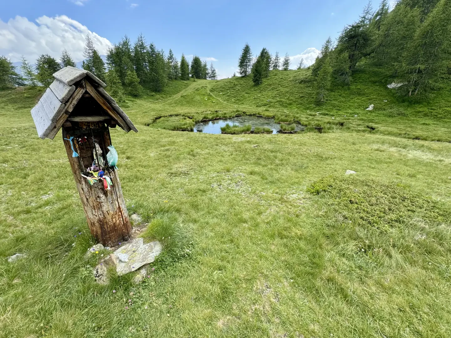
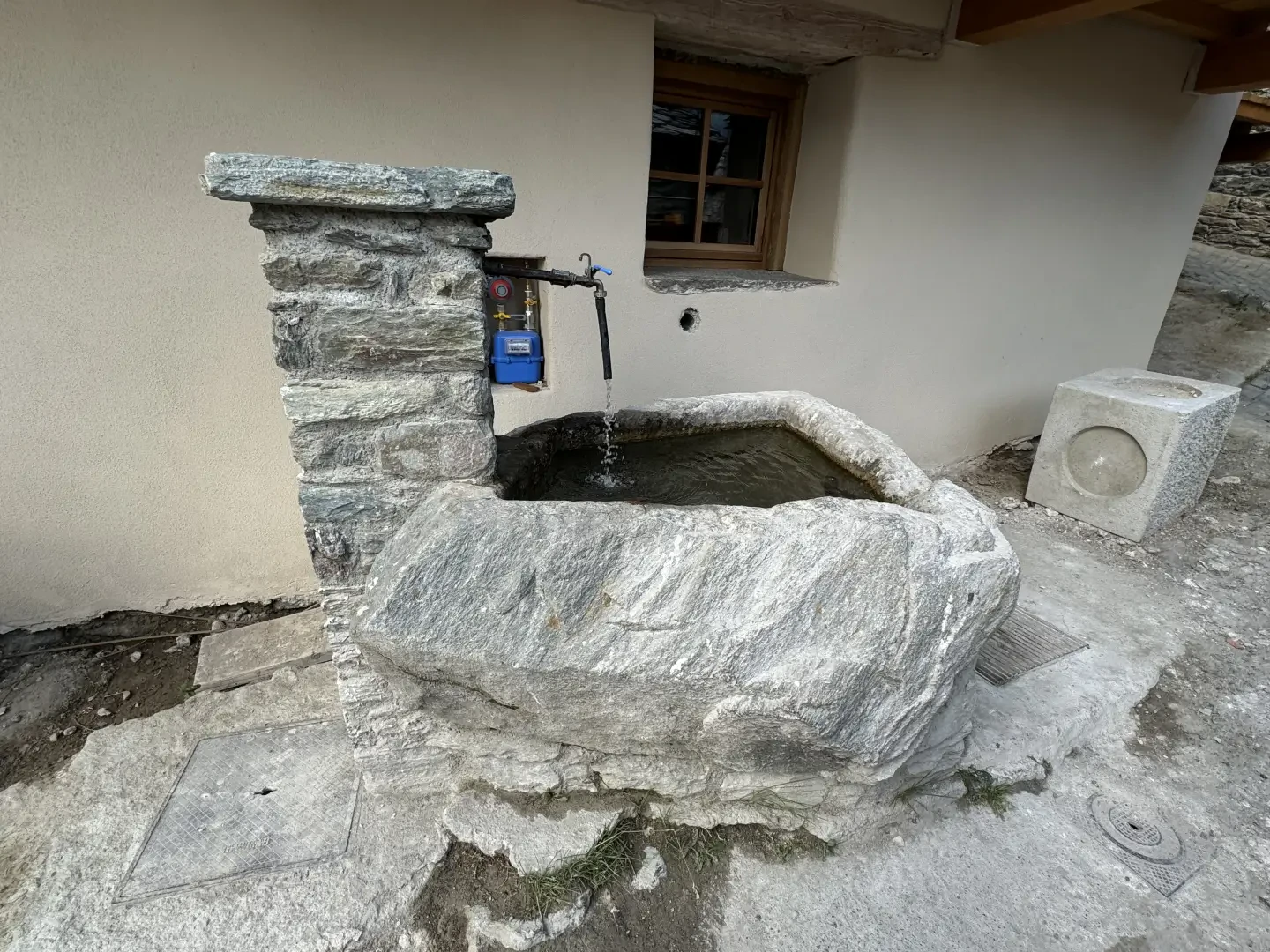
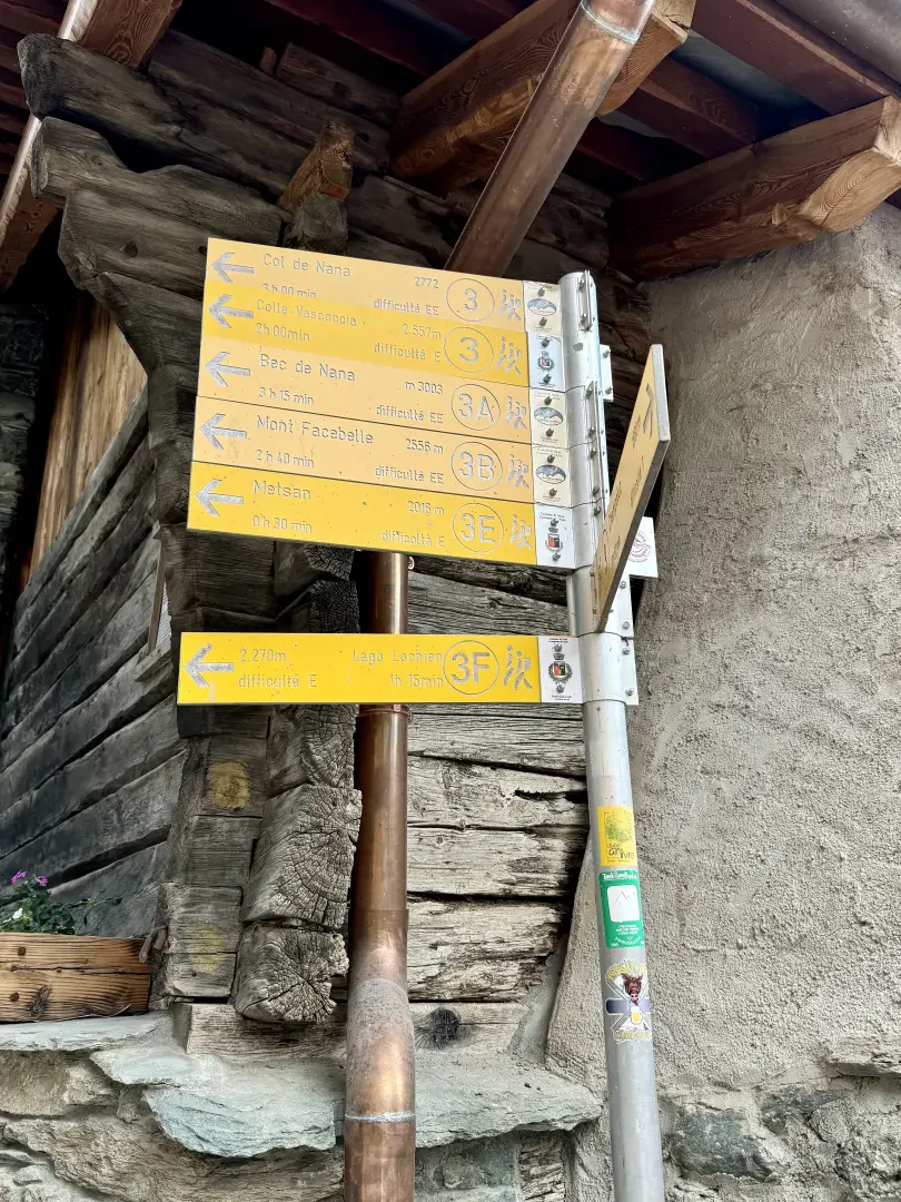
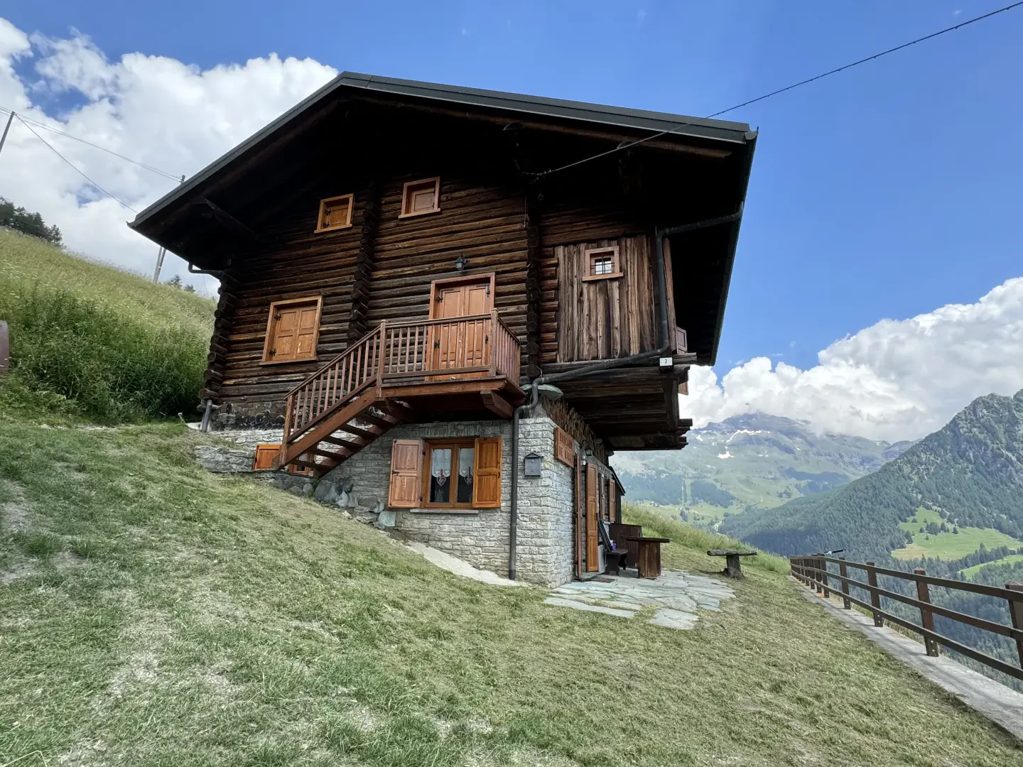
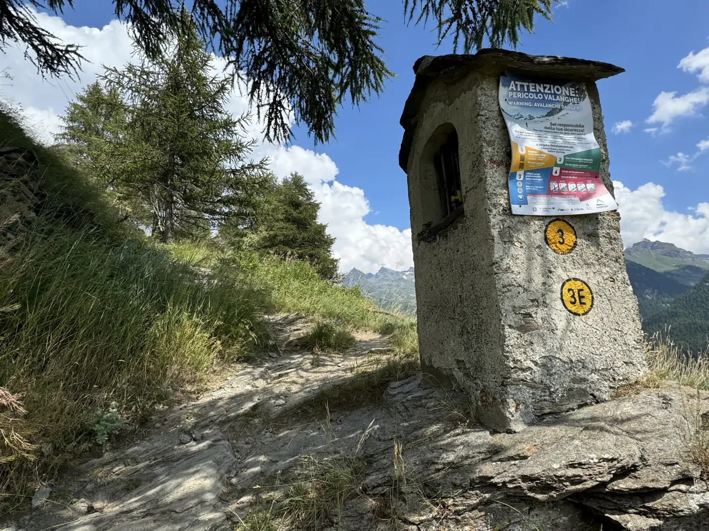
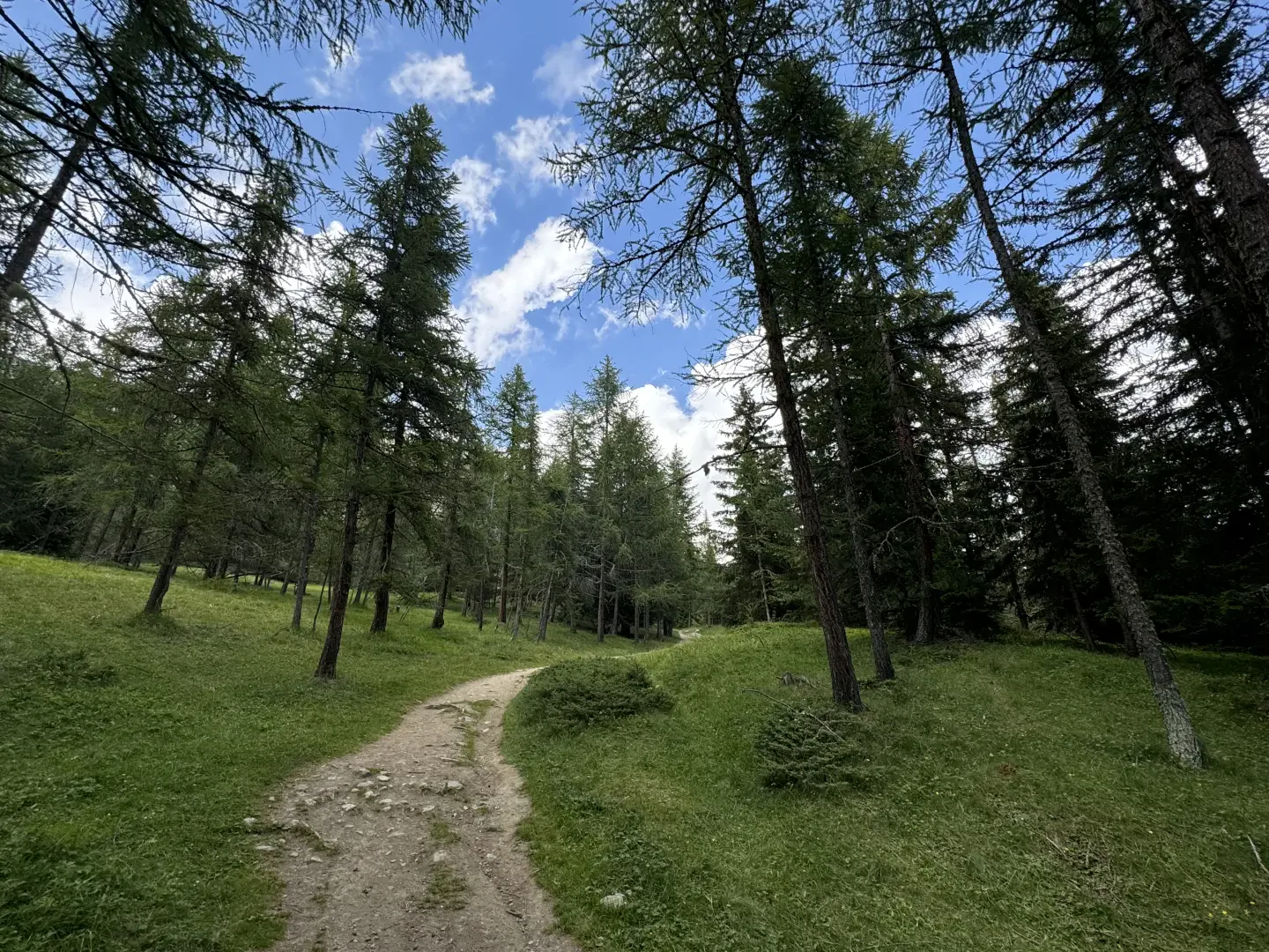
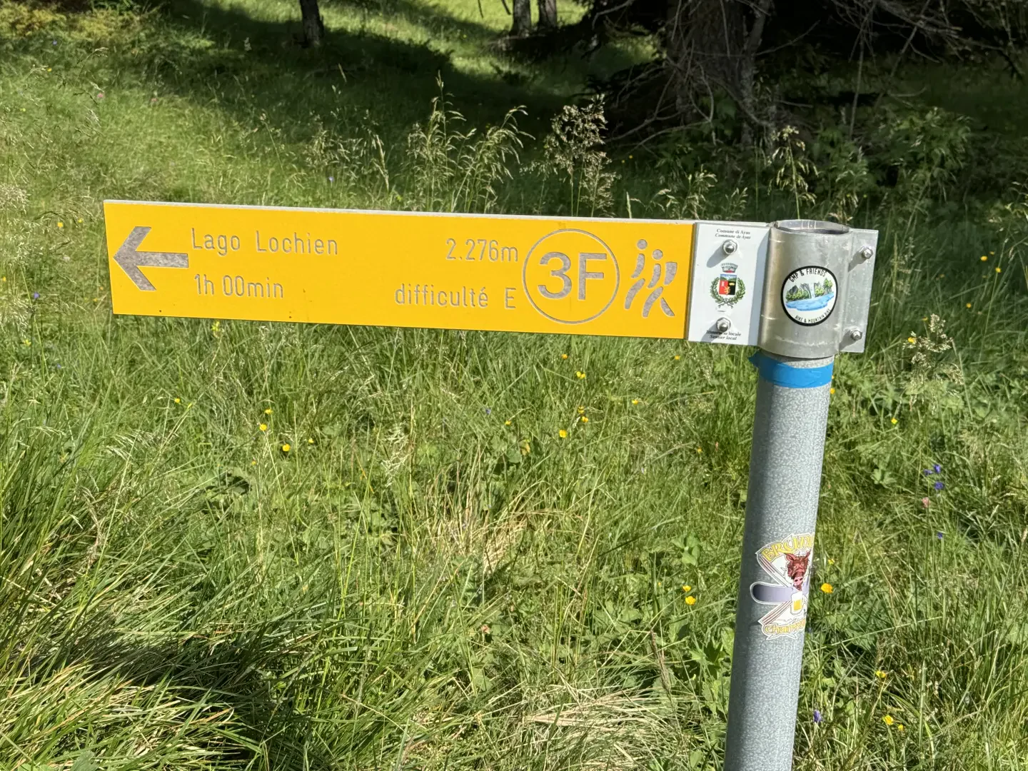
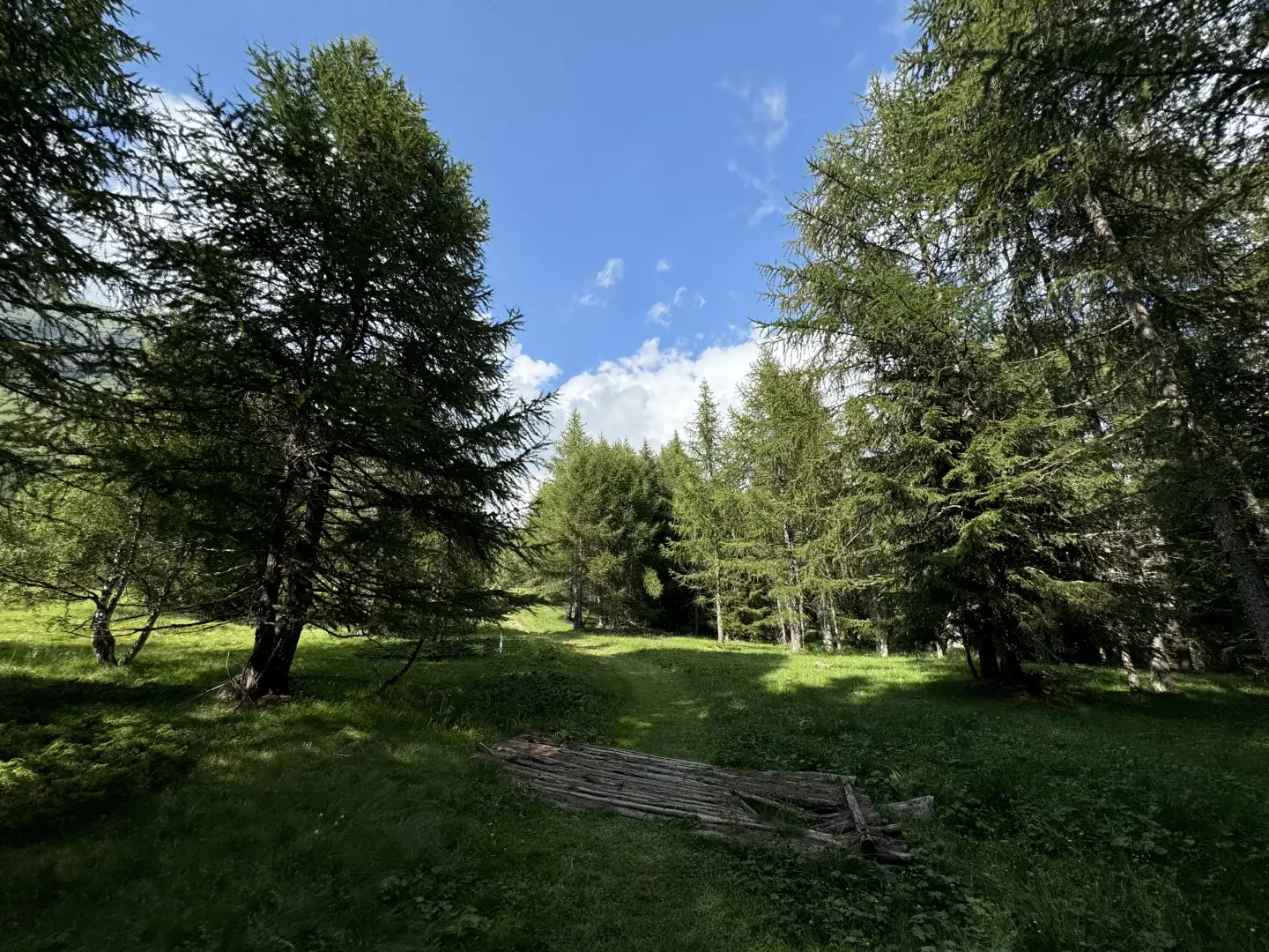
0h00' 0.00km From the car park, keep the Chapel of the Immaculate Conception on your right and take the narrow road towards the village. Near the drinking fountain 💧 you’ll find signposts indicating the route to Lac Lochien and other local trails. Follow the marked trail, winding your way through the characteristic stone buildings of the village of Mandriou. Once past the last houses, the path becomes steeper, runs alongside a wayside shrine and reaches the access road to Cà Zena (1,883 m). Ignore the road and carry on straight along the path, which leaves the pasture and enters a sparse larch forest. Continue in the same direction on a steady incline until you reach the first clearing. Carry on for a few more minutes until you come to a signpost at an altitude of 1,950 m, which confirms the direction towards Lac Lochien.
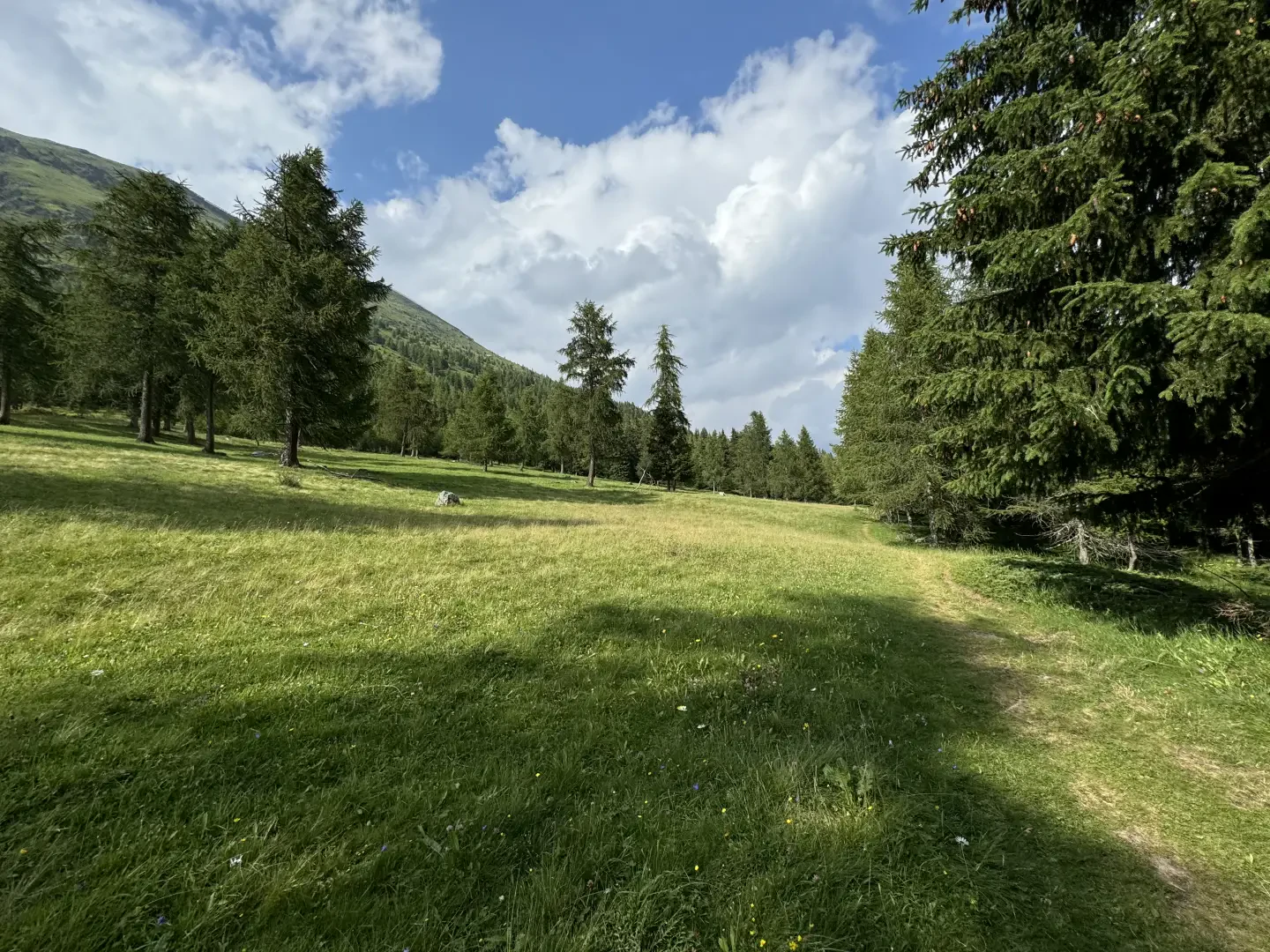
0h20' 0.58km Turn right onto the path which, within a few minutes, emerges from the woodland onto the spectacular Metsan meadow and the Ru Courtod (1,976m).
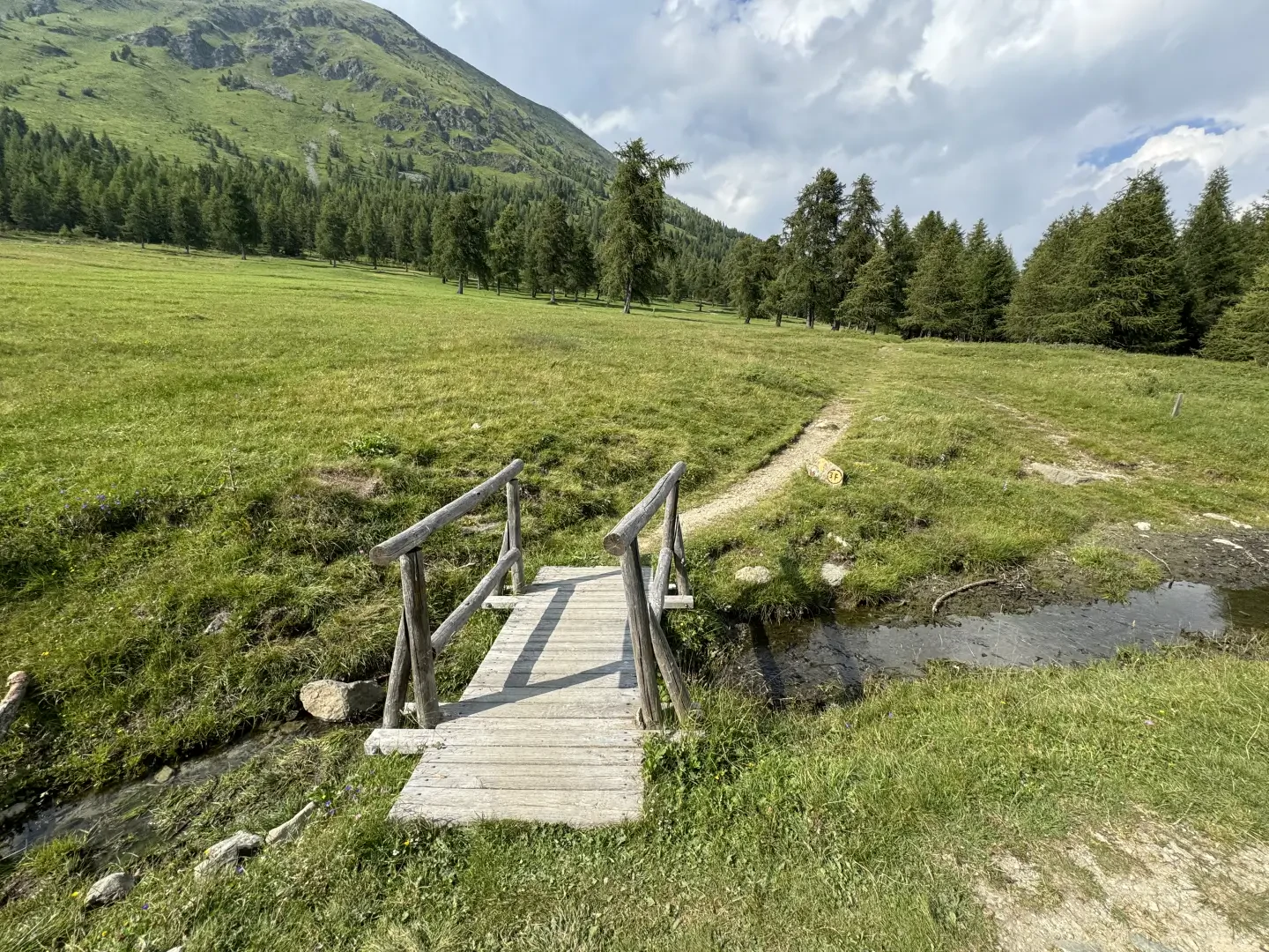
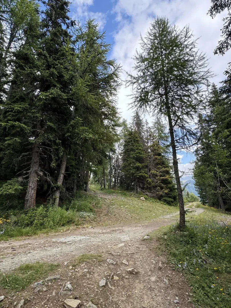
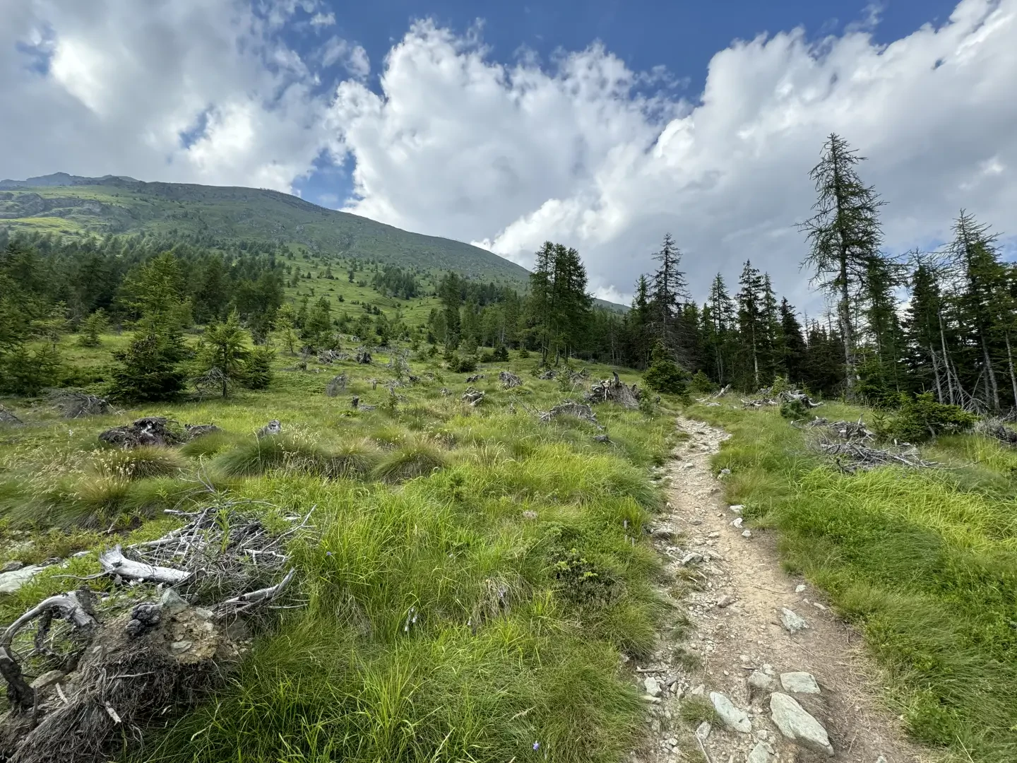
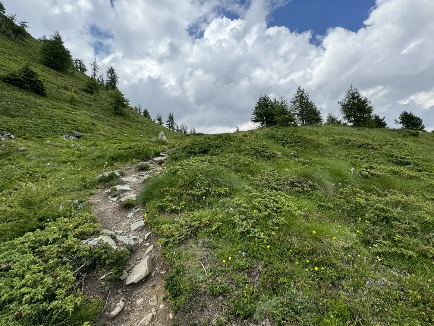
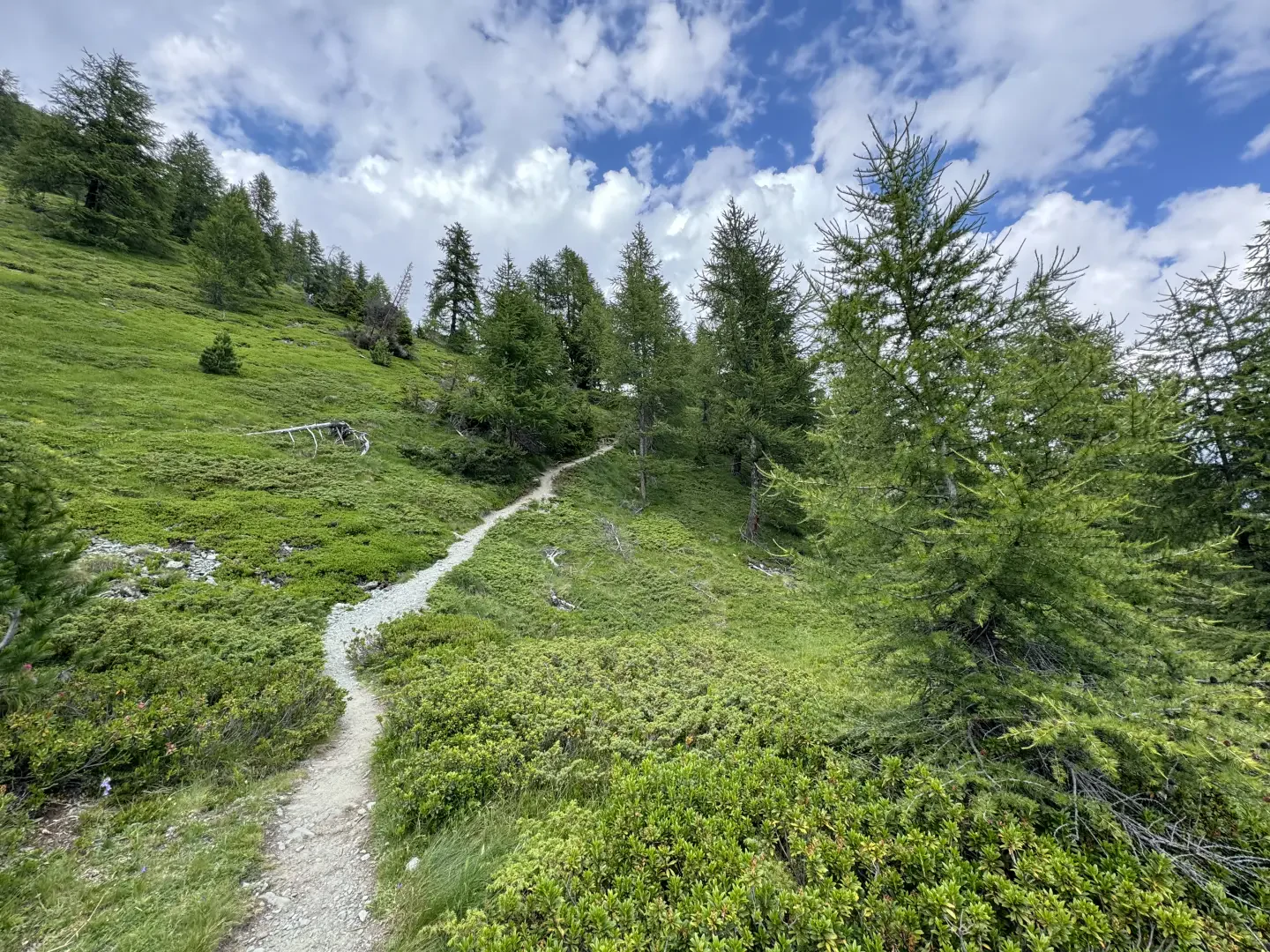
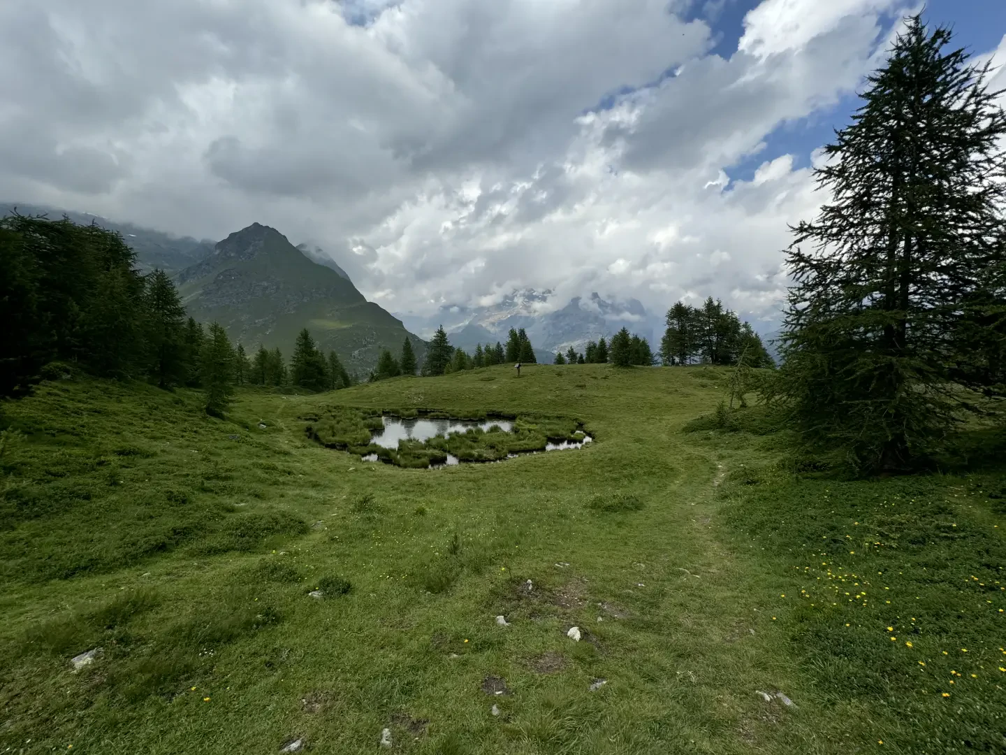
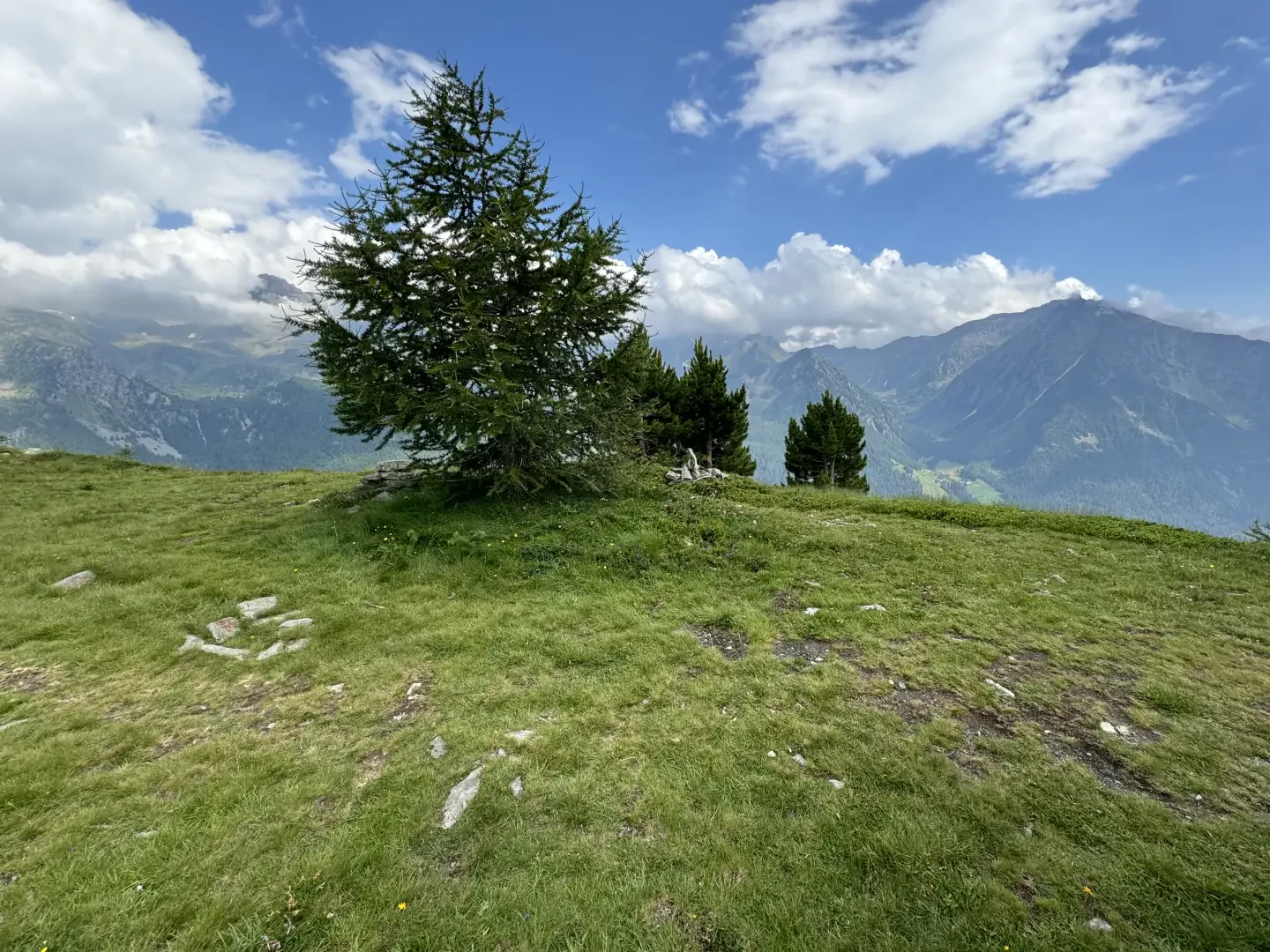
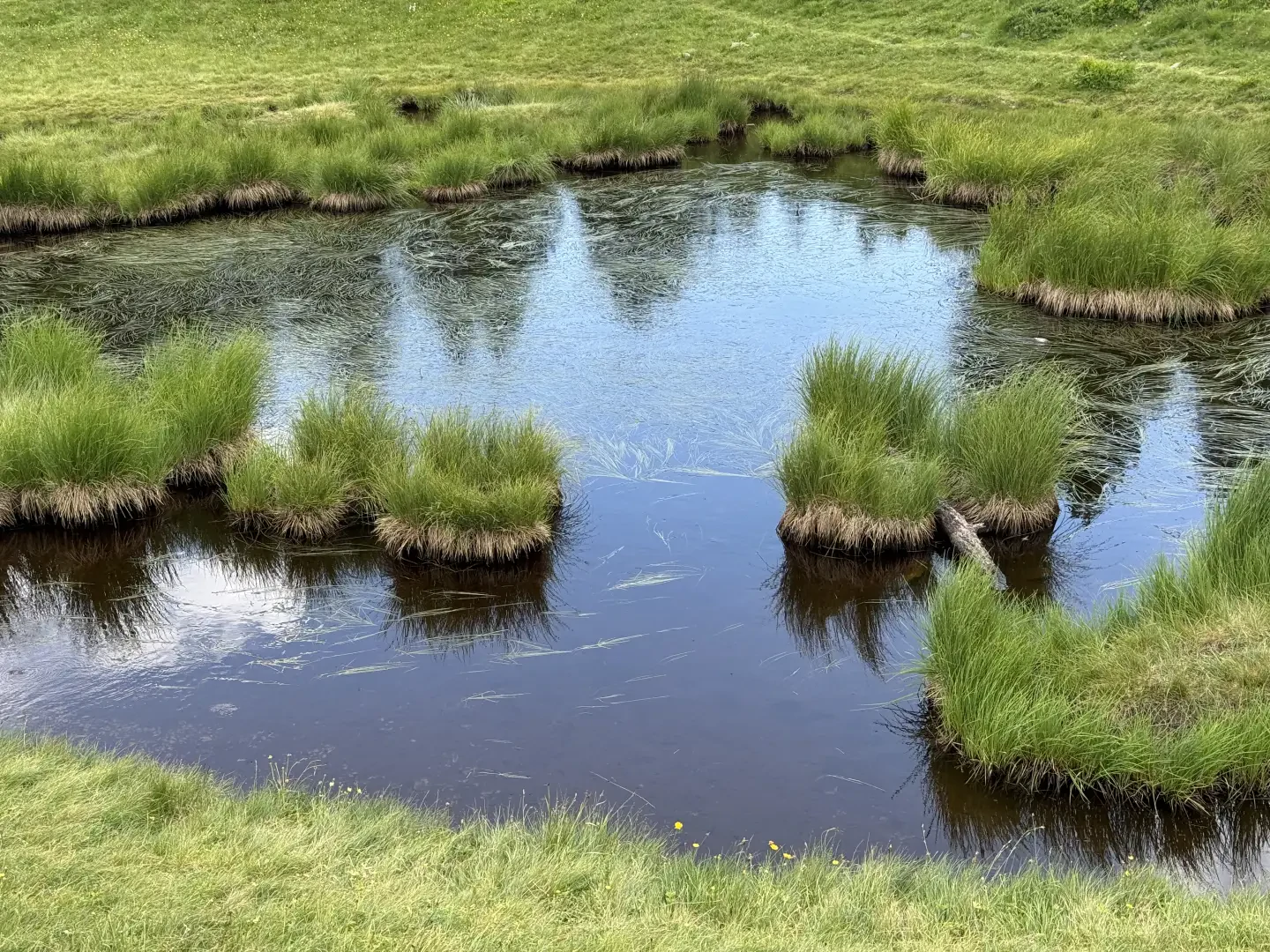
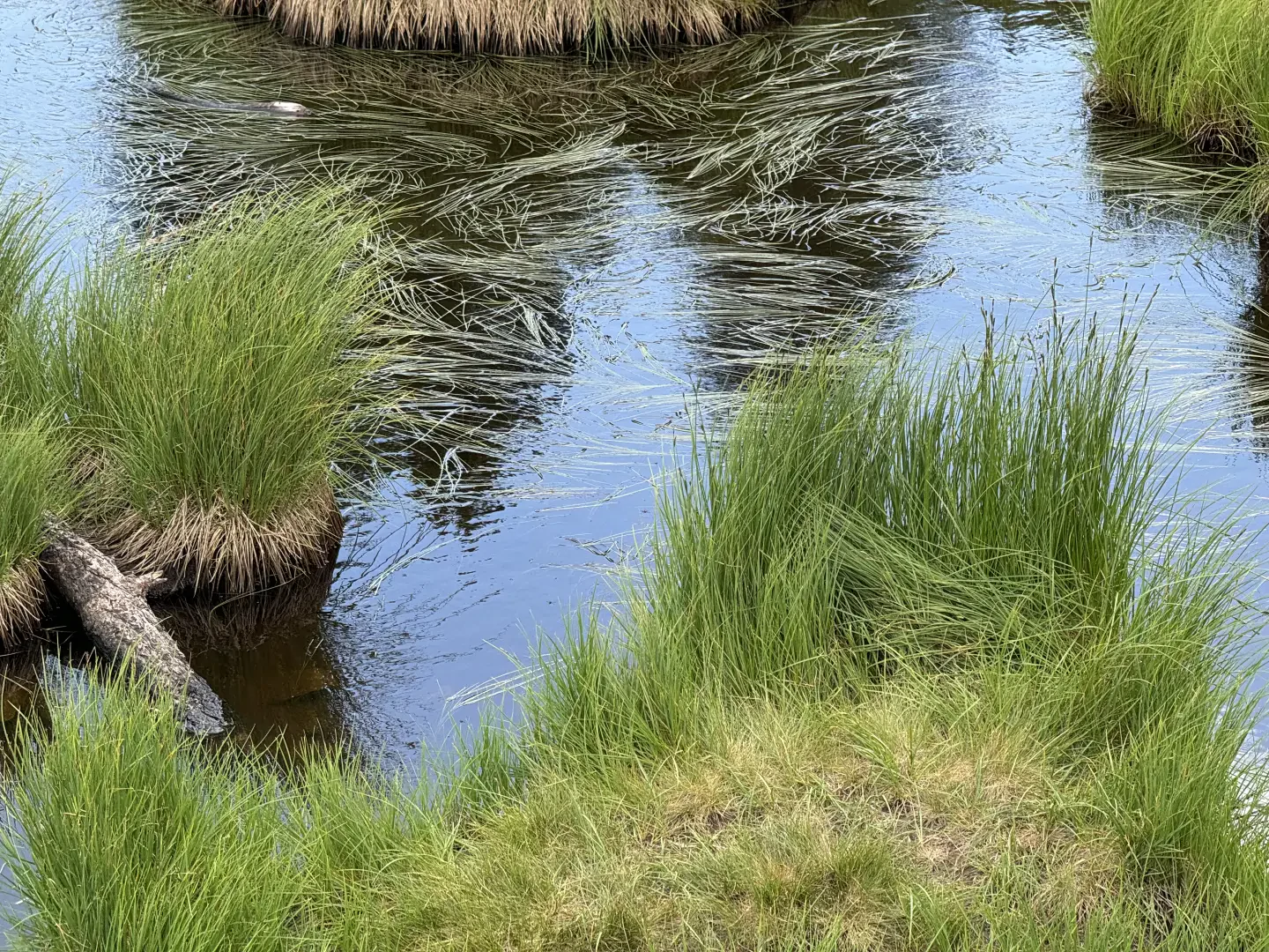
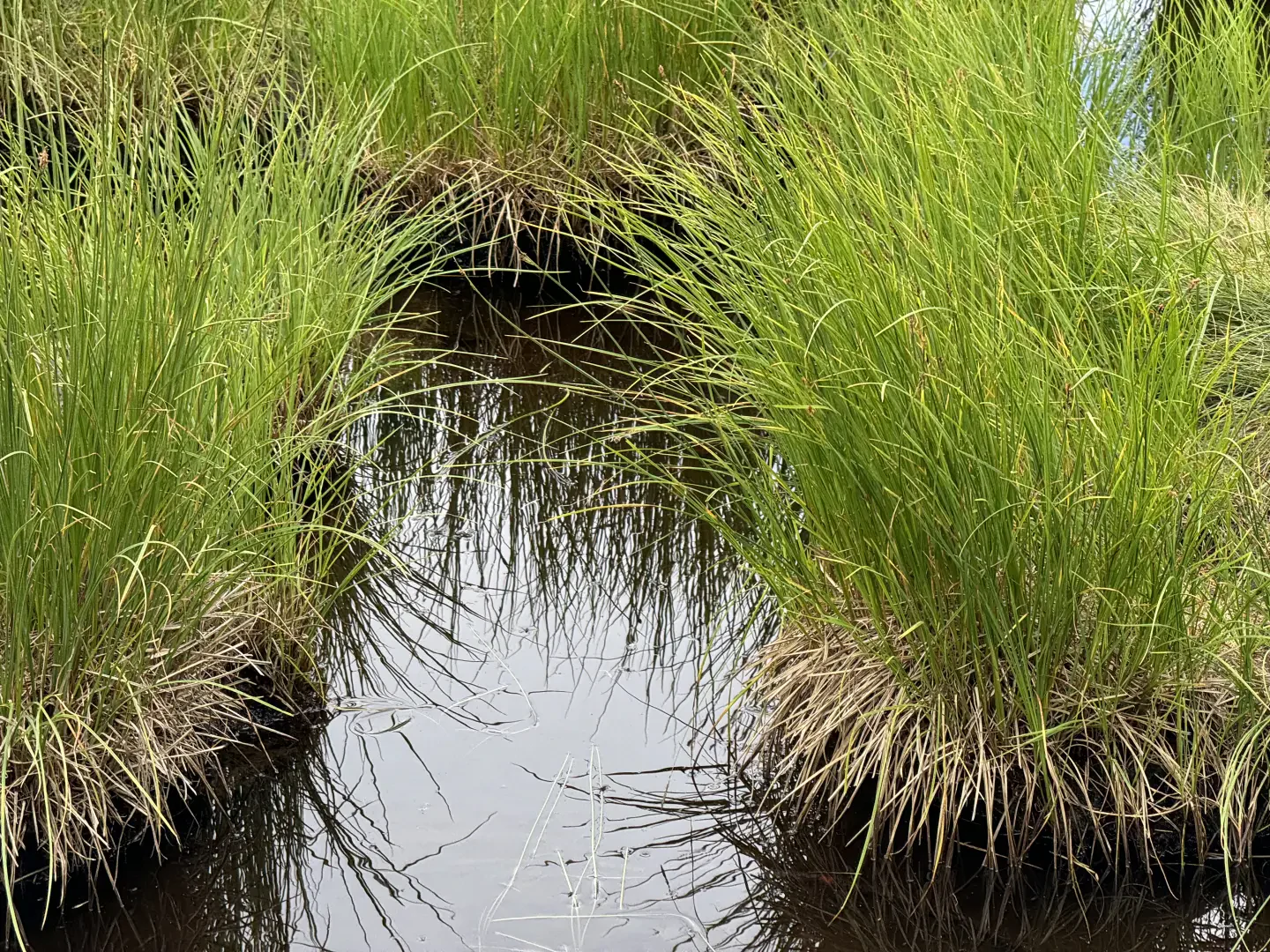
0h25' 0.80km Ignore the path on the right which runs alongside the stream, cross the stream via a wooden footbridge and continue northwards along the track that follows the edge of the woodland. Leave the pasture and head into the woodland until you reach a farm track (2,013 m). Continue straight on along the path, which ascends diagonally for some distance, cutting across the lower part of the south-eastern slope of Mont Facebelle, passing through patches of juniper (Juniperus communis) and small clusters of larch (Larix decidua). The path becomes steeper and reaches the grassy saddle of Col Lochien (2,282 m), where you’ll find a cairn marking the start, to the left, of the path leading to the ridge of Mont Facebelle. Continue on level ground until you reach the tranquil waters of Lac Lochien (2,276 m) 1h15' 2.89km (445 m elevation gain) with its characteristic, photogenic tufts of grass poking through.
The return follows the same route taken on the way out 1h00' 2.89km .
Places of interest
Collections
Photo gallery
Comments (0)
Sign in to leave a comment