Fenêtre du Tsan, from Etirol

Edited by:
Massimo Martini
Updated at: 21/11/2026
Access
Road directions
At the Châtillon-Saint-Vincent motorway junction [A5], turn left and continue for 300m (0.3km) until you reach the roundabout. Take the third exit onto Via Émile Chanoux and follow it for 600m (0.9km in total), passing through the historic centre of Châtillon. Turn slightly right onto Via Menabreaz and continue for 450m (1.35km in total) until you reach the roundabout with the Matterhorn monument. Take the second exit and join the towards Valtournenche, following it for 7.8 km (9.15 km in total) to Antey-Saint-André, at the junction with the towards Torgnon. Turn left and follow the uphill for 6.4 km (15.55 km in total) to Mognod, the main town of Torgnon. Continue straight on, following the signs for the ski lifts, and after 400m (15.95km in total), at a hairpin bend to the left, turn right onto the local road towards Petit Monde, Triatel and Etirol. Follow the narrow road for 3.65 km (19.6 km in total), past the village of Triatel, until you reach Etirol.
Car park
At the entrance to Etirol there is a small car park 🅿️ [to be completed: free or paid], near a drinking fountain 💧. This is the starting point of the route. If the car park is full, turn back and leave your car in the lay-bys along the road.
Access by public transport
To reach the starting point of the route, you will need a private vehicle, as the area is not served by public transport.
Distance and journey time
🕒 Journey time: 33 minutes
📏 Distance: 19.6 km
GPS navigation
Important information
The directions provided were verified on the date the route was mapped. Before setting off, we recommend checking for any changes to the route or road conditions. For up-to-date information, please consult Google Maps or Apple Maps.
Introduction
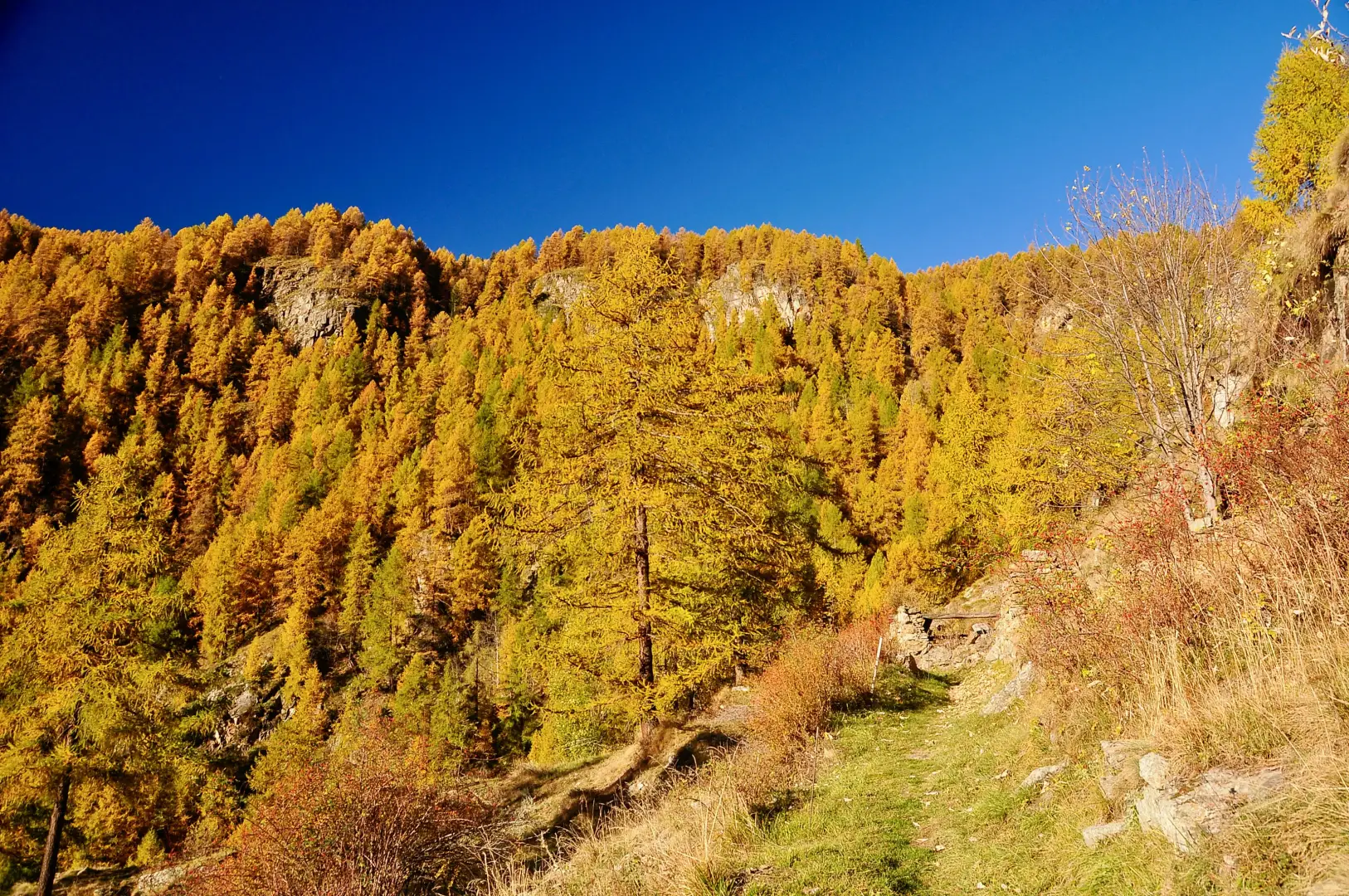
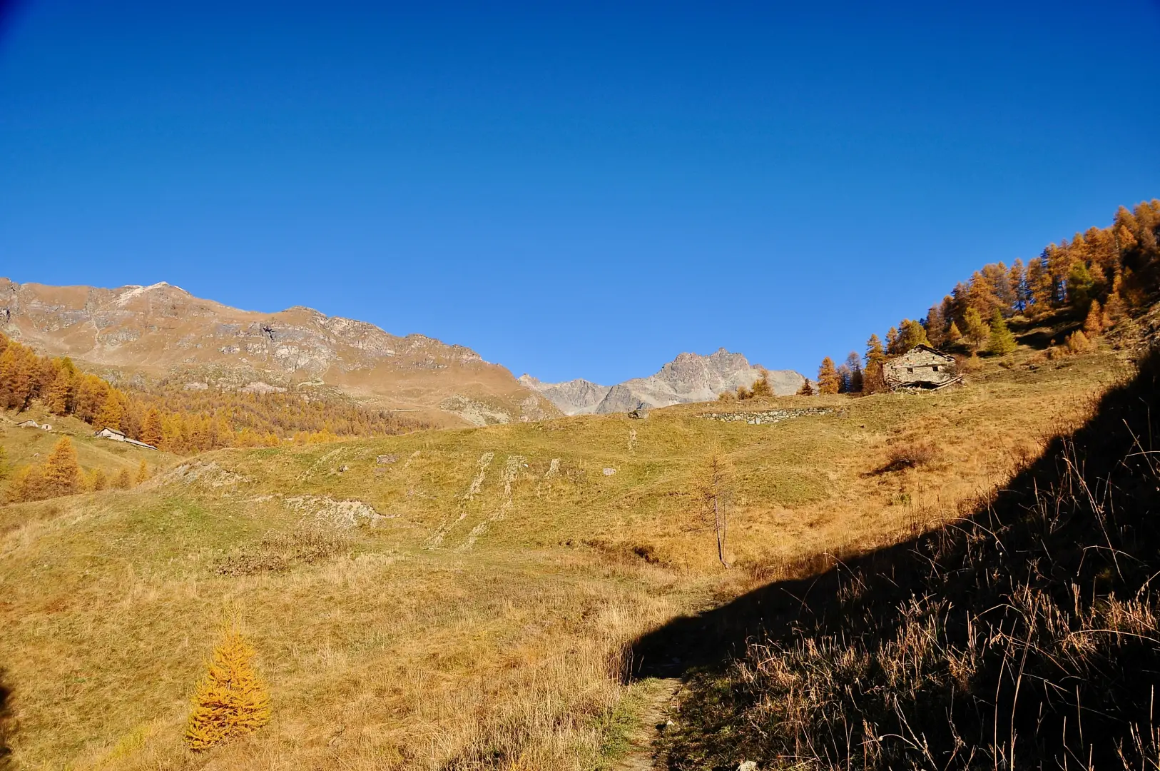
A linear route in the upper Torgnon valley, in Valtournenche, which climbs from Etirol up the Petit Monde valley and the Chavacour cirque to the Fenêtre du Tsan, a grassy pass between the Becca des Crottes and the Cima Bianca that links Torgnon with the Saint-Barthélemy valley. In the lower section, the route climbs through larch forests and pastures, past the ruins of the Levaz Dessous and Tsantsevellà mountain pastures, and crosses the Loditor plateau; further up, it passes the remains of a lime kiln and the Chavacour hermitage, the Château mountain pasture and the Crot du Loup, then the bivouac and Lake Tsan, where it joins theAlta Via 1, which leads to the pass.
From the pass, you can see the Saint-Barthélemy valley with the Becca di Luseney and, on the ascent side, the Punta di Chavacour, Mont Redessau and, on a clear day, Monte Rosa. The Chavacour cirque is home to ibex and chamois.
The recommended period is from June to September, when the cirque is free of snow; in autumn, the larch forests in the lower reaches turn yellow. The path does not feature any technical sections, apart from a short rocky stretch equipped with handrails near the lake, but the length and total elevation gain require a good level of fitness.
Description
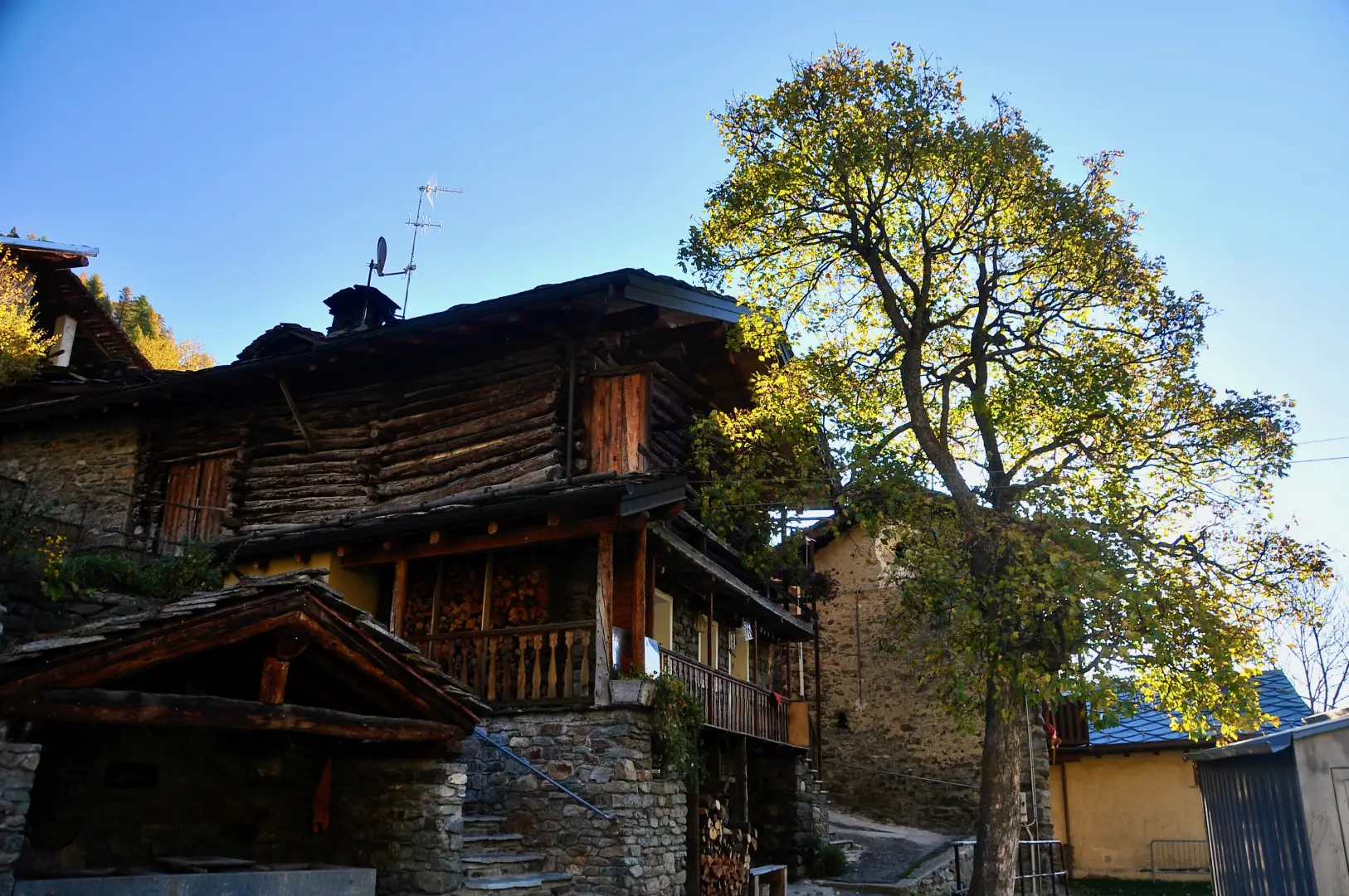
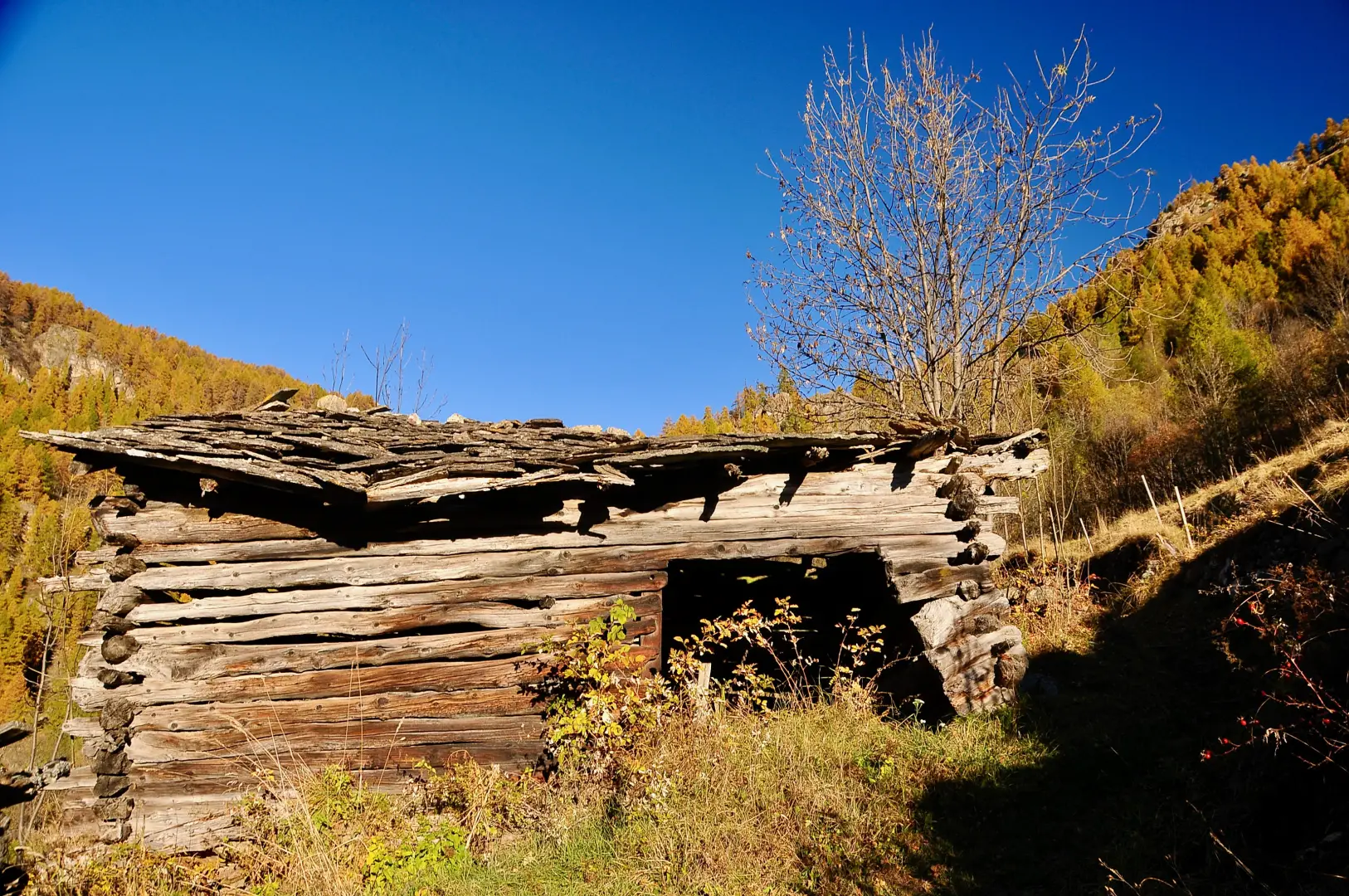
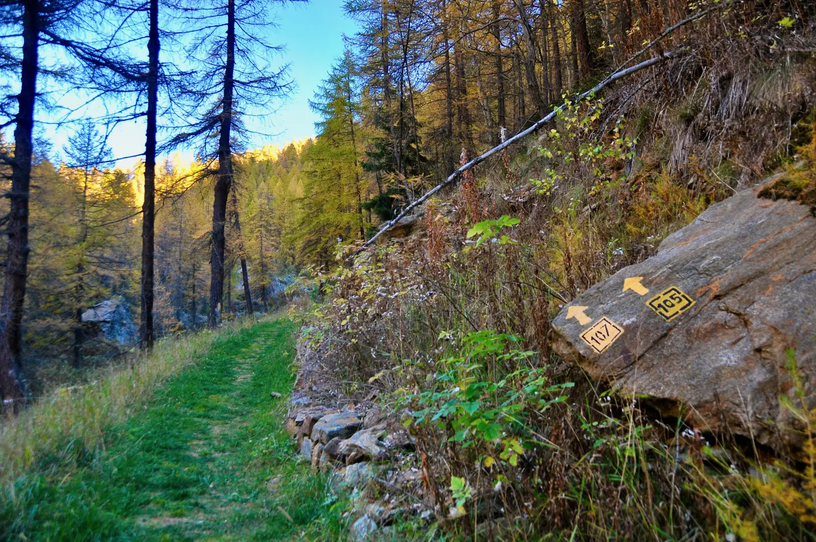
0h00' 0.00km From the car park, near which there is a drinking fountain 💧, head south-east towards the houses in Etirol (1,598m), passing a Norway maple (Acer platanoides). Once you reach the first houses, turn left, then right and left again to cross the village. After passing the last house, cross the farm track and take the old paved mule track that enters the woods heading north-west. After a few minutes, you’ll pass a collapsed rascard and continue slightly uphill through the woods. Once you have crossed a stream, the gradient increases until you rejoin the farm track: follow it to the ruins of the Levaz Dessous mountain pasture (1,677 m), where it ends, and rejoin the path. Continue almost level, veering slightly to the right, into the Petit Monde valley, until you reach the junction with path at an altitude of 1,690m.
0h25' 0.73km Ignore the path on the left and climb straight ahead with the stream on your left, through the larch forest (Larix decidua). As the gradient increases, the stream forms a small waterfall, visible through the branches. Almost at the end of the climb, cross a stream: the gradient levels off, the woodland thins out and gives way to the pastures of Tsantsevellà. The path bends slightly to the left; on the right you can see the ruins of the old Tsantsevellà mountain pasture and, a little further up, a modern barn used for livestock in summer. After crossing another stream, you’ll reach a marker stone with the trail markers for the section you’ve covered and continue straight on towards the headwaters of the Petit Monde stream. The wide path runs alongside the stream amongst large larch trees and emerges into the basin at the foot of Betsoloz, where there is a small pond (1,861 m) in which Punta Tsan is reflected.
1h10' 1.90km (277 m ascent) (0 m descent) Turn left and follow the farm track uphill; after a couple of hairpin bends, it leads to the Betsoloz mountain pasture (1,895 m). Just beyond the mountain pasture, take a flat path which, in a few minutes, reaches the dirt track above. Take the path to the right and follow it slightly uphill through the pastures of the Tsanté de Guerraz mountain pasture, to the Loditor plateau (1,919 m) and a junction with a signpost.
1h35' 3.65km Turn right and take a path that climbs the grassy slope through a sparse woodland. With a few short bends, gain height to a promontory from which you can see the layout of the Loditor plateau from above. Continue northwards and enter a small open basin, where the remains of a lime kiln can be found. Return to the woodland and cross the pass, from which you can see the ruins of the Chavacour hospice (2,058m), then descend briefly to the junction near the ruins.
2h20' 4.74km (508 m elevation gain) Take the path on the right and, after a short climb, reach the Château mountain pasture (2,087m). Follow the farm track for a short distance, then leave it and continue along the path to the next junction. Ignore the right-hand branch leading to the Renzo Rivolta Bivouac; take the left-hand branch, cross the farm track again and reach the ruins of Crot du Loup (2,158m).
2h45' 5.51km (594 m ascent) (25 m descent) Continue towards the Tsan Bivouac: cross a grassy basin, traverse at a higher elevation and climb a ridge to a junction (2,419 m).
3h55' 6.73km Ignore the path to Cima Bianca on the left and keep to the right until you reach the Tsan Bivouac (2,472m), just above the lake of the same name.
4h05' 7.14km Descend a few metres to the shore of Lake Tsan (2,443m) and follow the shore until you reach the junction with theAlta Via 1.
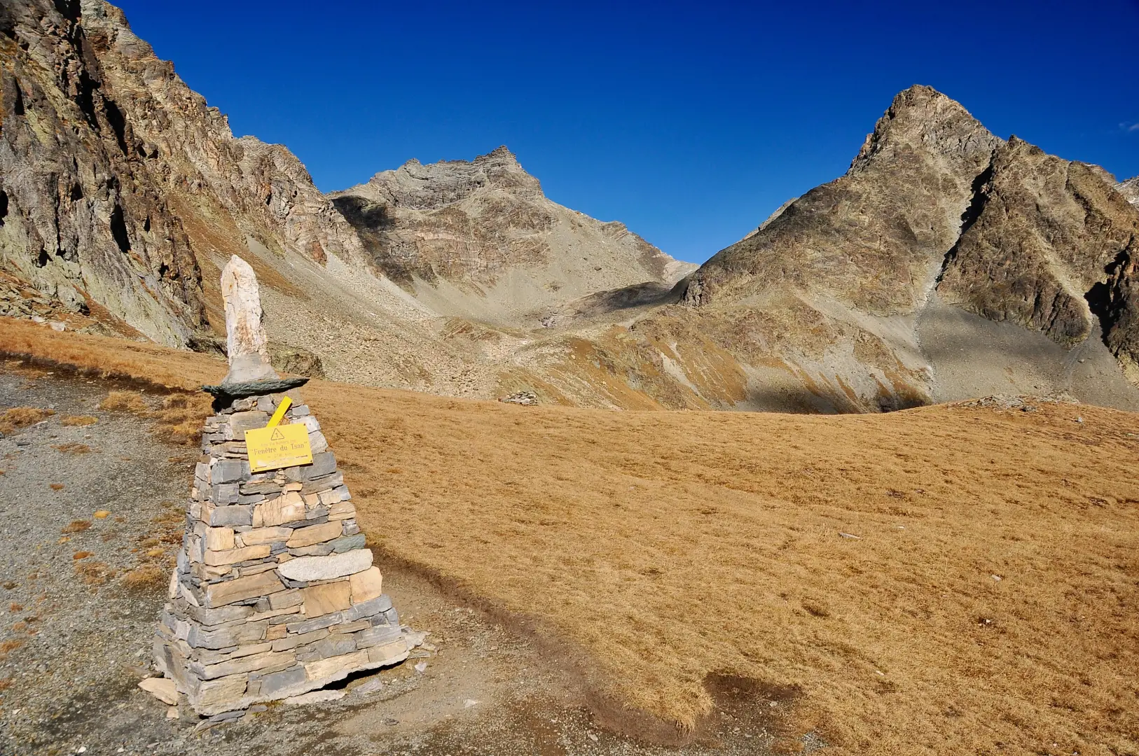
4h10' 7.47km Take theAlta Via 1 to the left, pass a short rocky section equipped with a metal handrail and climb up towards a grassy ridge. Enter the Chavacour valley, cross a small stream and reach a plateau marked by a large cairn (2,611 m). Climb a grassy ridge via a series of hairpin bends, then continue along a gentle slope to the Fenêtre du Tsan saddle (2,736m) 5h25' 9.42km (1,217 m ascent) (72 m descent).
Return to Etirol by retracing the same route taken on the ascent 3h50' 18.87km (73 m elevation gain) (1,216 m elevation loss).
Information for the walk
Along the route, water is available from the drinking fountain at the Etirol car park and from a drinking fountain near the Tsan Bivouac, which has 9 beds and is owned by the Torgnon Ski Club.
Points of Interest
Collections
Photo gallery
Comments (0)
Sign in to leave a comment