Col de Lavodilec, from the Valle di Clavalité car park

Edited by:
Massimo Martini
Updated at: 21/11/2026
Access
Road directions
Leave the [A5] motorway at the Nus junction and continue for 220 m (0.22 km). At the roundabout, take the second exit and join the towards Fénis, continuing for 500 m (0.72 km) until the next roundabout, where you should again take the second exit. Keep right towards Località Chez Sapin and enter it after 199m (0.92km). Continue along Località Chez Croiset for 500m (1.42km) and along Località Chez Machet for 300m (1.72km). After 160m (1.88km), turn right onto Frazione Cors, continue straight on for 99m (1.98km), then continue towards Barche for 240m (2.22km) and towards Miseregne for 400m (2.62km). Turn right to stay on the ‘Località Miseregne’ road and continue for 220m (2.84km). Turn left and drive the final 9.6km (12.4km) to the car park, on the right.
Car park
At the end of the road is the free 🅿️ Val Clavalité car park, the starting point of the route.
Access by public transport
To reach the starting point of the route, you’ll need a private vehicle: Val Clavalité is not served by public transport.
Distance and journey time
🕒 Journey time: 24 minutes
📏 Distance: 12.4 km
GPS navigation
📍 How to get there with Google Maps
📍 How to get there with Apple Maps
Important information
The directions provided were verified on the date the route was surveyed. Before setting off, we recommend checking for any changes to the route or road conditions. For up-to-date information, please consult Google Maps or Apple Maps.
Introduction
A linear route returning via the same path, which starts from the Val Clavalité car park, in the municipality of Fénis, and climbs the entire valley up to the Col de Lavodilec, a pass on the watershed with the Saint-Marcel valley. The first section follows the valley floor and the wooded slope along farm tracks and mule tracks, passing through the hamlets of Celey and Meney to the Grand Alp mountain pasture. Here, the path turns north-west, climbs up the pastures of theAlpe Lavodilec and passes above Lake Lavodilec, then enters the upper, scree-covered valley, which ends at the pass.
From the upper reaches, you can see the head of the Val Clavalité, bounded by Punta Tersiva. The recommended time of year is late summer or early autumn, with good visibility and no remaining snow in the upper valley. The length of the valley and the total elevation gain require a good level of fitness; below the pass, the route is less obvious and the terrain, which is steep and eroded, requires sure-footedness.
Description
0h00' 0.00km From the Val Clavalité car park (1,518 m), take the farm track, which descends gently towards Maisonasse and the valley floor. Cross the plain along the main farm track as far as Celey.
0h40' 2.16km At Celey, leave the farm track and take the mule track which climbs steadily through the woods. Join the upper farm track and follow it alongside the stream, cross the bridge and head to the opposite bank. Pass Meney, ignore the turn-off for Lake Lavodilec and continue to the Grand Alp mountain pasture.
2h35' 6.93km At Grand Alp, take path , which turns north-west and climbs the slope through pastures and sparse woodland to the ruins of Alpe Lavodilec. Continue along the path, which joins path , pass the rocky outcrop and reach the junction for Lake Lavodilec.
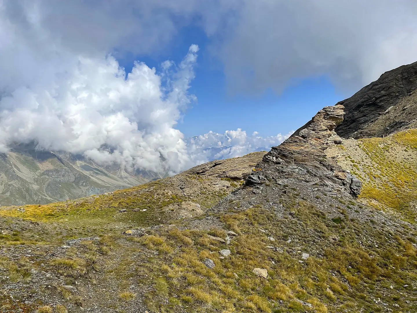
3h35' 9.04km (923 m ascent) (89 m descent) Leave path to the lake on your left and continue on path , which enters the upper valley to the west. The gradient increases and the terrain becomes scree; signposting is sparser and must be followed carefully, especially on the traverses. A final steep section over eroded terrain leads to the Col de Lavodilec (2,863m) 5h15' 10.96km .
The return journey follows the same route taken on the ascent. On the descent below the pass, the eroded terrain requires caution 3h55' 22.05km .
Comments (0)
Sign in to leave a comment