With Pinter, from Champoluc

Edited by:
Massimo Martini
Updated at: 21/11/2026
Access
Road directions
At the Verrès motorway exit , join the roundabout and take the second exit onto the towards Val d’Ayas. At the next roundabout, after 300m (0.3km), take the second exit again and continue for 3.5km (3.8km) until you reach the junction where the regional road turns left. Follow the for 23.3 km (27.1 km), passing through Challand-Saint-Victor, Challand-Saint-Anselme, Brusson and Extrapieraz, until you reach Champoluc. Once you have crossed the bridge over the Evançon stream, turn right onto Rue Varasc and then immediately left onto Rue l’Ostorion, where you will find the car park (27.2 km).
Car park
On Rue l’Ostorion, near the tourist office, there is a free 🅿️ car park. The square where the route starts is about 100 metres away.
Access by public transport
Champoluc is served by the Verrès–Val d’Ayas line, operated by VITA. For timetables, please consult the operator’s website.
Distance and journey time
🕒 Journey time: 42 minutes
📏 Distance: 27.2 km
GPS navigation
Important information
The directions provided were verified on the date the route was mapped. Before setting off, we recommend checking for any changes to the route or road conditions. For up-to-date information, please consult Google Maps or Apple Maps.
Introduction
A linear route on the left-hand side of the upper Val d’Ayas, which, starting from Champoluc in the municipality of Ayas, climbs up the Cunéaz valley to Col Pinter, a pass on the watershed with the Gressoney Valley, before returning along the same route.
From Champoluc, the path climbs to the village of Frantse, below the Crest, and continues along the Alta Via No. 1 through the village of Cunéaz and the pastures at the valley floor up to the Pian Gony plateau. The head of the valley is enclosed by a rocky ridge, marked by two waterfalls, which forms the basin of the Pinter lakes: a steep gully leads to the basin and a final ravine leads to the pass, at the foot of Monte Pinter. The pass is also crossed by the Tor des Géants, and the paths to Testa Grigia and the Ulrich Lateltin Bivouac start from here.
It is walked without snow during the summer season. The path is signposted and has no exposed sections, but the elevation gain is considerable and the gradient is steep above Champoluc and in the two gullies below the pass, where residual snow from the start of the season and the scree-covered descent require caution.
Description
0h00' 0.00km From the main square in Champoluc (1,555m), take path 13 eastwards and climb the steep slope on the hillside above the village up to the hamlet of Frantse (1,888m), just below the Crest.
1h16' 1.37km Leave Trail 13, which continues towards the Crest, and head east along theAlta Via No. 1, which climbs more gently up the side of the valley to the village of Cunéaz (2,032 m).
1h56' 2.48km (486 m ascent) (0 m descent) Cross the village and continue eastwards along the bottom of the Cunéaz valley, through the pastures, leaving the Ruere huts on your left. After a steeper stretch, reach the pastures of the Le Lavassey mountain pasture and cross the Pian Gony plateau, which undulates gently, fording a couple of streams. At the end of the plateau, head towards the two waterfalls cascading down from the rocky ridge at the head of the valley and climb up the steep gully carved into it, until you reach the basin of the Pinter lakes and the turn-off for the lakes (2,695m).
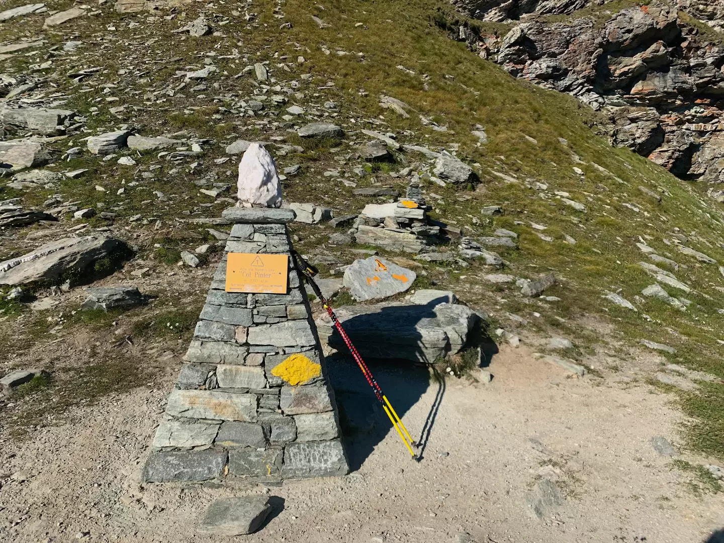
4h34' 5.68km Ignore the turn-off to the right for the Pinter Lakes – which can be reached in a few minutes – and the path coming from Ostafa, then ascend the gully leading to Col Pinter (2,777 m) 4h52' 5.93km .
The return journey follows the same route. On the descent down the two gullies above the Cunéaz valley, take care on the scree-covered ground 3h15' 11.86km .
Comments (0)
Sign in to leave a comment