Brengon, from Promiod

Edited by:
Massimo Martini
Updated at: 21/11/2026
Access
Road directions
At the Châtillon motorway junction [A5], turn left and continue for 300m (0.3km) until you reach the roundabout. Take the third exit and continue along Via E. Chanoux through the historic centre for 600m (0.9km), then turn slightly right onto Via Menabreaz and follow it for 450m (1.35km) until you reach the roundabout with the replica of the Matterhorn. Take the second exit and join the through the Valtournenche valley to Antey-Saint-André for 7.6 km (8.95 km). At the entrance to the village, turn right onto the towards La Magdeleine and follow it for 4.6 km (13.55 km) until you reach the junction for Promiod. Turn right and follow the local road for 1.4 km (14.95 km) to the car park.
Car park
At the entrance to Promiod, on the left-hand side of the local road, there is a large, free 🅿️ car park. The signpost marking the start of the route is located next to the car park.
Access by public transport
You will need a private vehicle to reach the route’s starting point, as the village is not served by public transport.
Distance and journey time
🕒 Walking time: 23 minutes
📏 Distance: 14.9 km
GPS navigation
Important notice
The directions provided were verified on the date theroute. Before setting off, we recommend checking for any changes to the route or road conditions. For up-to-date information, please consult Google Maps or Apple Maps.
Introduction
A route on the left-hand side of the valley in the middle section of Valtournenche, linking the hamlet of Promiod, in the municipality of Châtillon, to Brengon, the main village of La Magdeleine, returning via the same route.
From Promiod, a mule track climbs amongst the terraces and enters the woodland, then follows a ridge halfway up the hillside, offering views of Becca d’Aver, the Matterhorn and the village of La Magdeleine. At the ruins of Parafromia, the view opens out onto the peaks of the central valley. From here, the route follows the fitness trail that starts in Brengon, passing through a fir forest equipped with the trail’s exercise stations, and emerges onto the pastures below the village centre.
When snow-free, the route is generally accessible from June to October. In winter, the fitness trail is usually groomed, and the route becomes a snowshoe hike. The terrain is easy, following a mule track and a wide path, with a short traverse across a steep slope protected by a wooden fence; the short distance and modest elevation gain, with a few ups and downs, make this a short outing.
Description
0h00' 0.00km From the signpost next to the Promiod car park (1,495m), turn left onto the small road, following the signs for Lod, and follow it for a few hundred metres until you reach the junction where the footpath branches off.
0h07' 0.31km Leave the small road and follow the mule track up a short slope amongst the terraces to the edge of the woodland, with a view of Becca d’Aver. Enter the woodland and climb a short slope to the wooden fence marking the start of the traverse across the steep slope, from where you can see La Magdeleine and the Matterhorn. At the end of the climb, follow the ridge halfway up the hillside, with a few ups and downs, and descend to the ruins of Parafromia (1,620m), overlooking the peaks of the central valley.
0h23' 1.06km (135 m ascent) (13 m descent) Continue on almost level ground until you join the fitness trail starting from Brengon and follow it through the fir forest, past the equipped climbing stations. After a series of ups and downs, leading to the highest point of the route, begin the descent and, after a left-hand bend, emerge from the woods with La Magdeleine in sight. Cross the pasture to the Brengon cemetery (1,655m).
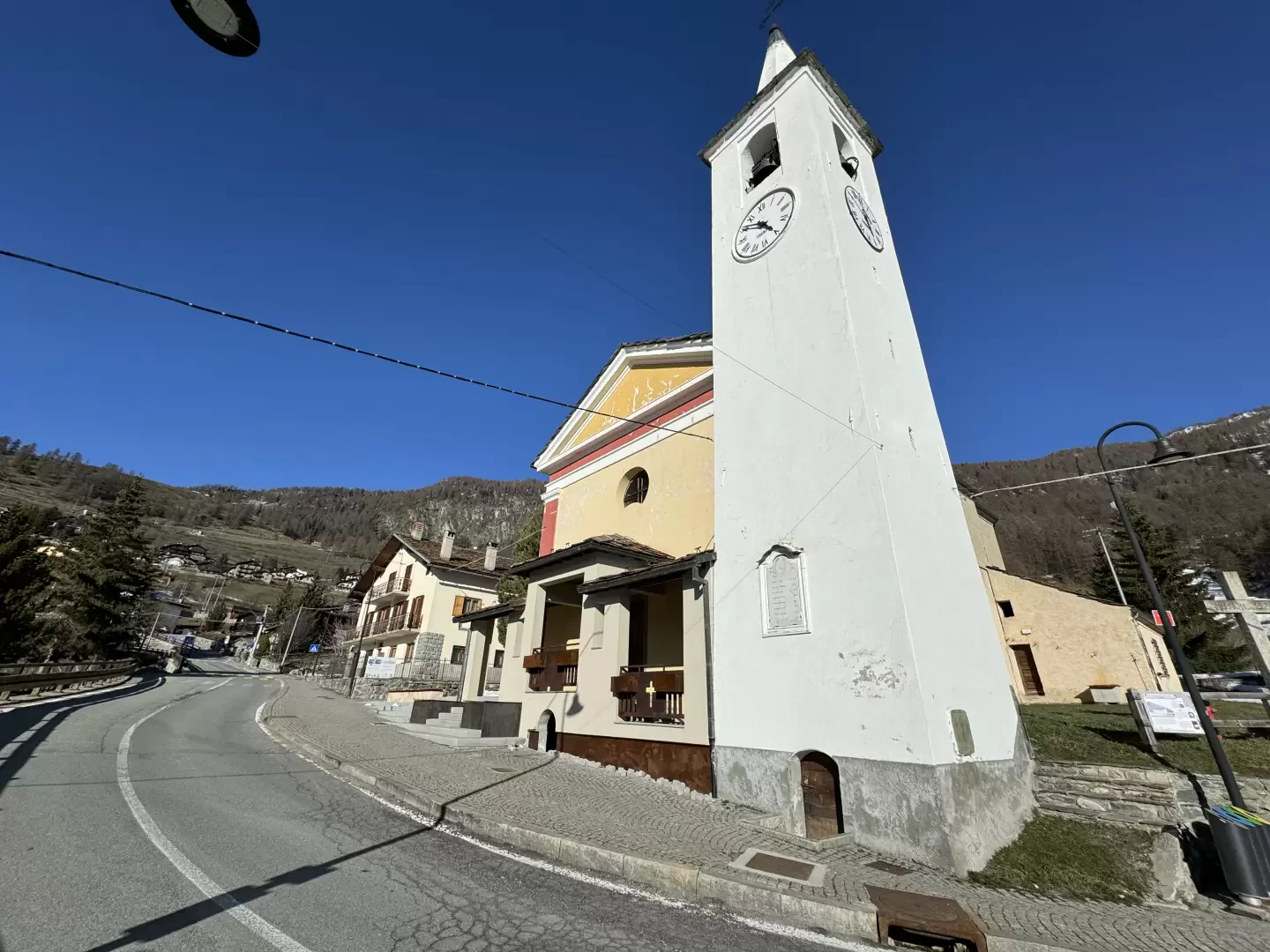
0h53' 2.59km (216 m elevation gain) (62 m elevation loss). Pass the cemetery and continue to the village of Brengon (1,643 m) 1h05' 3.30km .
The return journey follows the same route 0h55' 3.30km (83 m elevation gain) (227 m elevation loss).
Comments (0)
Sign in to leave a comment