Berzin, from Chessin

Edited by:
Massimo Martini
Updated at: 02/09/2026
Access
Leave the motorway junction at Châtillon. Turn left and continue for about 300 metres until you reach a roundabout. Take the third exit onto Via Emile Chanoux and continue straight on through the historic centre for about 600 metres. Turn slightly right onto Via Menabreaz and follow it for 450 metres until you reach the roundabout with the ‘Matterhorn’ monument.
Take the second exit and join the Valtournenche Regional Road . Follow the valley for about 6.2 kilometres, passing the village of Champlong and the Covalou hydroelectric power station, until you reach the large car park at the Copapan pizzeria. Take the small road on the left which, after about 450 metres, leads to the village of Chessin: on the right is the free village car park 🅿️ where you can leave your car.
Distance and journey time
🕒 Journey time: 10 minutes
📏 Distance: 6.7 km
GPS navigation
📍 How to get there with Google Maps
📍 How to get there using Apple Maps
ℹ️ Important note
The directions provided were verified on the date the route was mapped. Before setting off, it is advisable to check for any changes to the route. For up-to-date and detailed directions, we recommend using Google Maps or Apple Maps.
Introduction
The route from Chessin to Berzin winds its way through woods and pastures which, in autumn, are ablaze with warm, golden hues. The path, which initially follows ancient country lanes and sections of the Ru de Marseiller, winds its way through conifers and splendid birch trees with bright yellow foliage, creating a play of filtered light. The ascent, which is never too steep, alternates between shaded sections and vantage points overlooking the rocky ridges above Promiod and the upper Valtournenche, until it reaches the open pastures of Berzin. Here, the chapel of San Giacomo watches over the small village, with the unmistakable silhouette of the Matterhorn standing out against the seasonal colours behind it. A short but evocative route, ideal for immersing yourself in the autumnal atmosphere of the Aosta Valley mountains.
Description
0h00' 0.00km From the car park, walk up the narrow local road for a short distance until you reach a fork. Keep to the left and take a grassy, somewhat overgrown track, which soon crosses the Ru de Marseiller, preceded by an aqueduct hut. Continue straight on: the route now becomes a path which, with a fair gradient, climbs through the woodland, consisting mainly of conifers, with a few splendid specimens of birch (Betula pendula).
After a left-hand bend, the path rejoins the ridge that rises between two torrential valleys and gains altitude, offering glimpses of the rocky outcrops above Promiod and the final stretch of the Valtournenche valley. It then bends to the right, maintaining a steady gradient, and reaches a second aqueduct hut before joining the left-hand side of a new ridge. From here, you soon reach the pastures below Berzin.
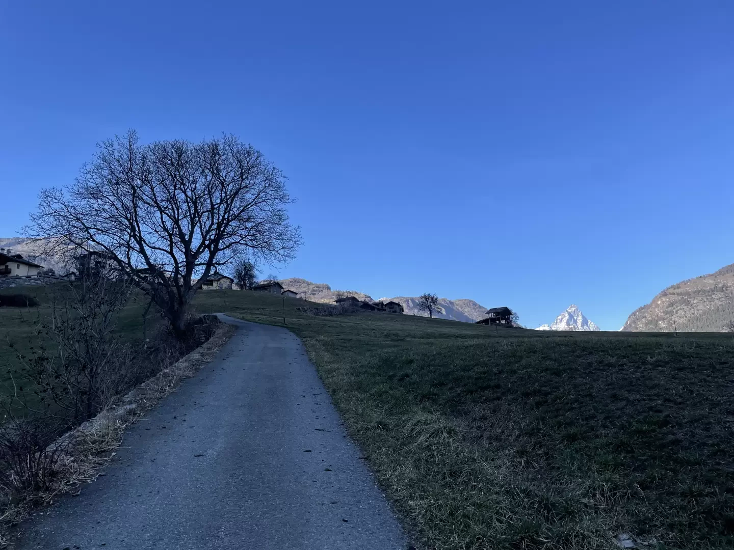
The path gives way to a narrow farm track that crosses the pasture diagonally, whilst the unmistakable silhouette of the Matterhorn stands out in the background. With one last little effort, you reach the village of Berzin (1,175m) 1h00' 1.58km , with its charming chapel dedicated to St James.
The return journey follows the same route as the outward journey, retracing the path until you reach the starting point at the Chessin car park 0h40' 1.58km .
Comments (0)
Sign in to leave a comment