Leave the motorway junction at Aosta Ovest and continue north-east for 35 metres (0.04 km). Take the junction for the and continue for 900m (0.94km) until you reach the roundabout. At the roundabout, take the second exit and join the state road in the Aosta Valley. Continue for 4.3 km (5.24 km) until you reach the next roundabout. At the roundabout, take the first exit and stay on the for 550 m (5.79 km). Turn slightly right to stay on the and continue for 3.7 km (9.49 km). At the roundabout, take the first exit and continue on the for 2.2 km (11.69 km). At the next roundabout, take the second exit and stay on the for 14.1 km (25.79 km). Continue straight on the and carry on for 4.4 km (30.19 km) until you reach a roundabout. At the roundabout, take the second exit and stay on the for 800 m (30.99 km). Turn slightly right and join Vicolo Dolonne; continue for 140 m (31.13 km), passing through the roundabout. Keep left and continue along Strada Margherita for 42 metres (31.17 km). Turn left onto Via Circonvallazione and continue for 210 metres (31.38 km). Continue along Viale Monte Bianco for 300m (31.68km). At the roundabout, take the second exit and turn onto Strada Sergio Viotto, continuing for 170m (31.85km). Turn right onto Strada Adolphe Rey and continue for 160 metres (32.01 km). Continue along Strada Grand Ru for 260 metres (32.27 km). Turn left onto Strada del Villair and continue for 600m (32.87km). Continue along Strada Rue Val Sapin for 550m (33.42km) until you reach the village of Raffort, where the car park is located.
Car park
In Raffort, there is a free 🅿️ car park at the end of the local road, near the village. The car park is the starting point of the route. Parking spaces are limited: please avoid obstructing local traffic.
Access by public transport
The town of Courmayeur is served by regular bus services operated by Arriva Valle d’Aosta. Raffort is not directly served by dedicated bus stops: you will need to walk from the centre of Courmayeur. Please check timetables and frequencies in advance, as these may vary during public holidays or seasonal periods.
The directions provided were verified on the date the route was mapped. Before setting off, we recommend checking for any changes to the route or road conditions. For up-to-date information, please consult Google Maps or Apple Maps.
Introduction
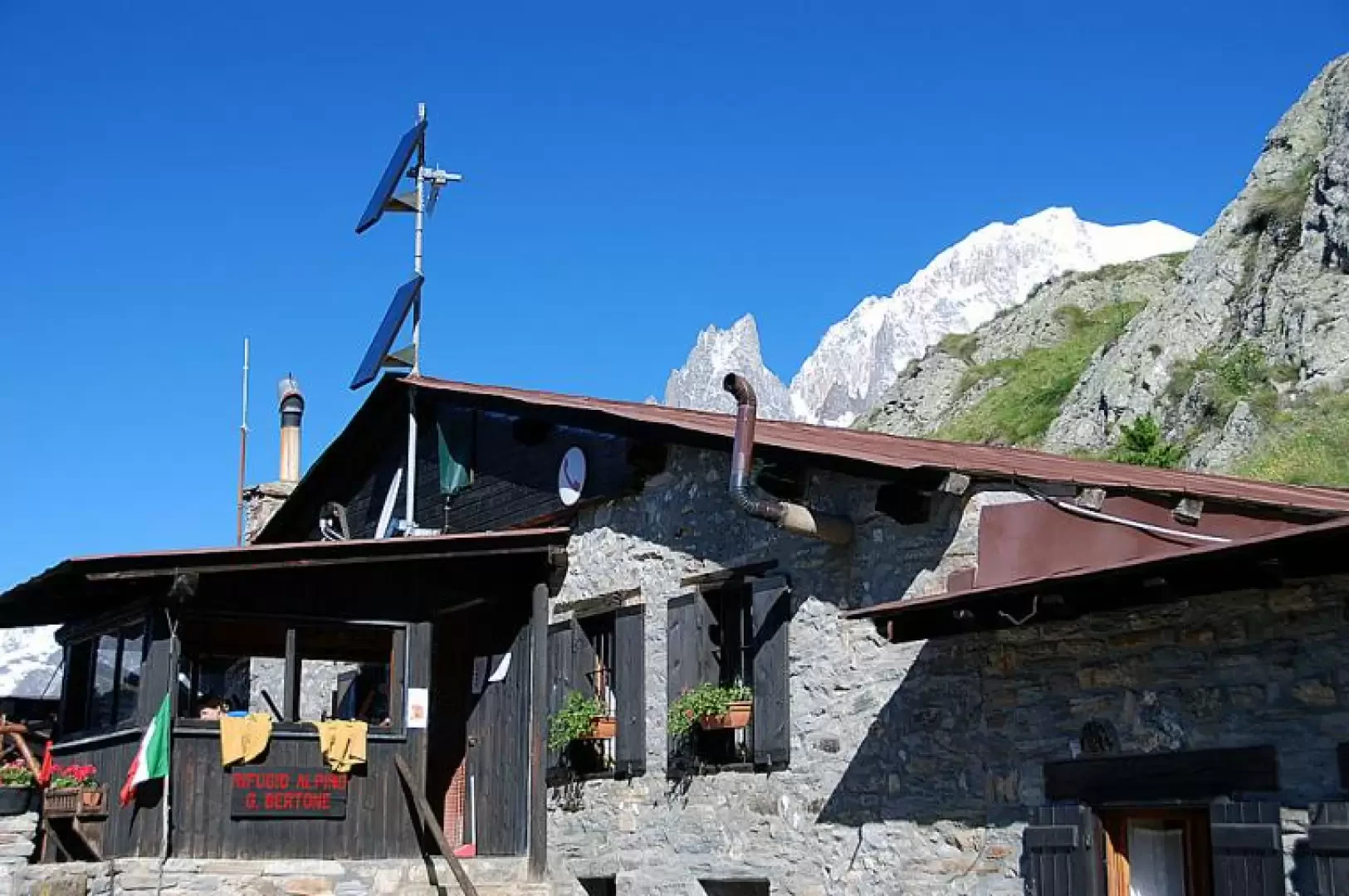
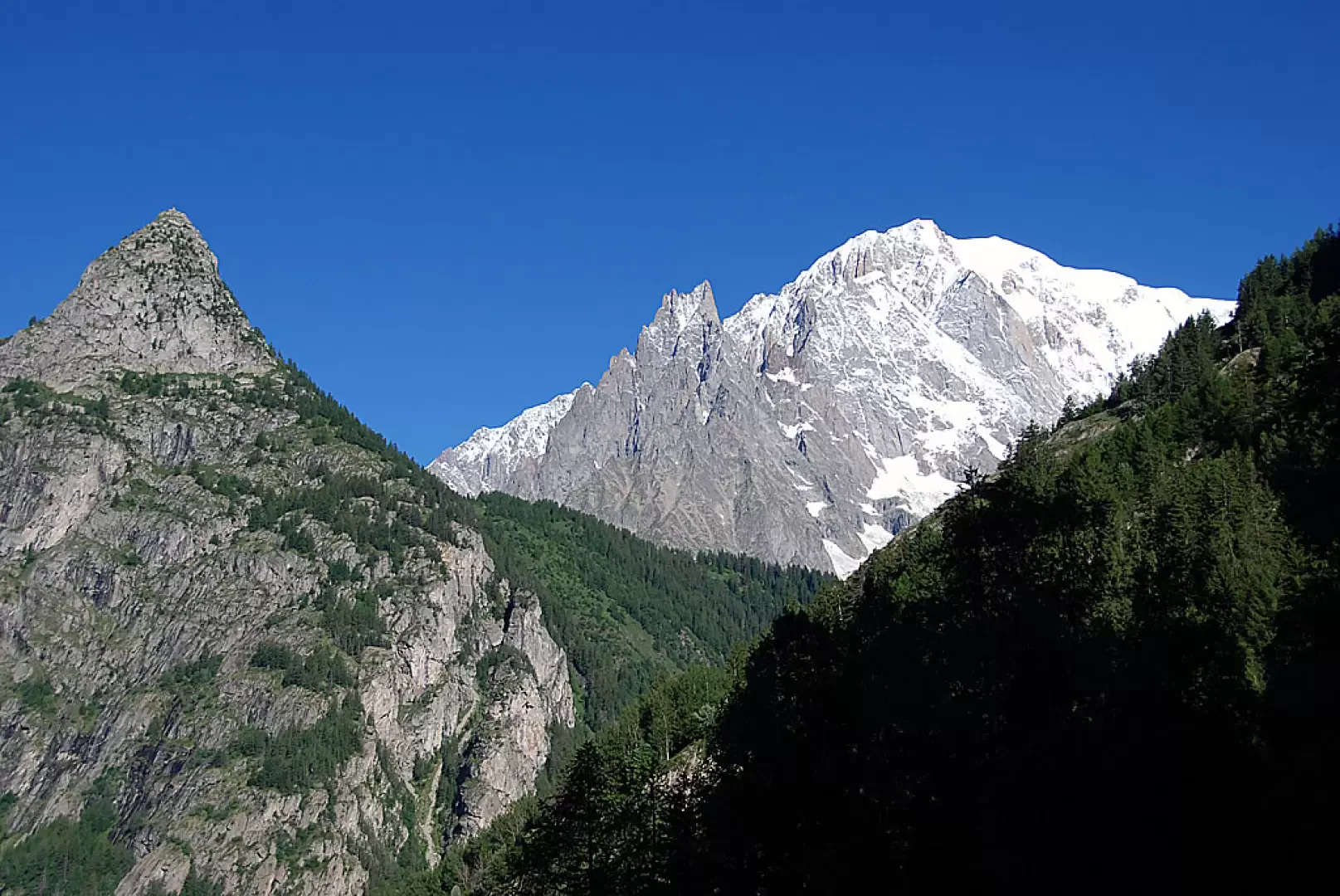
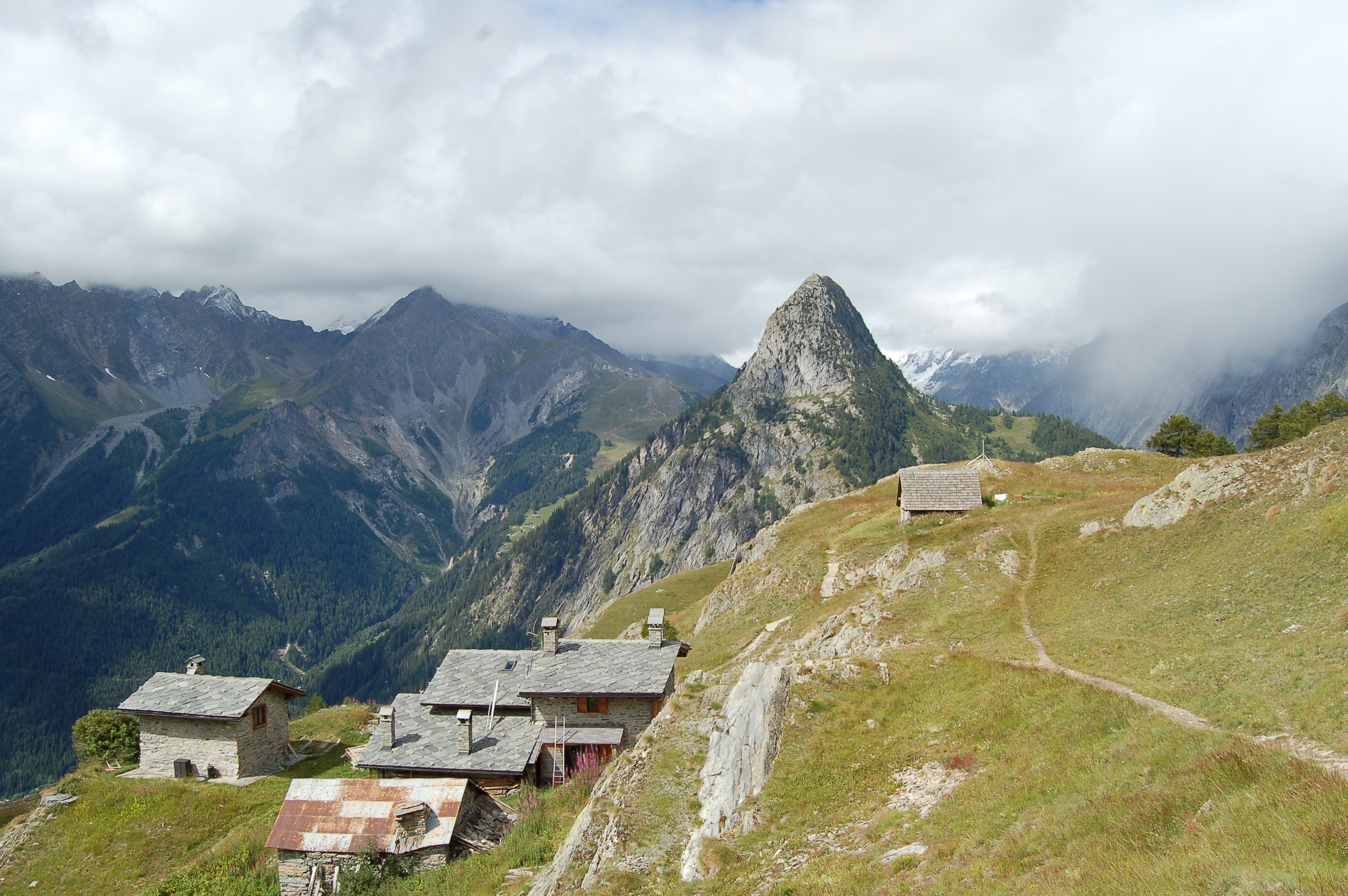
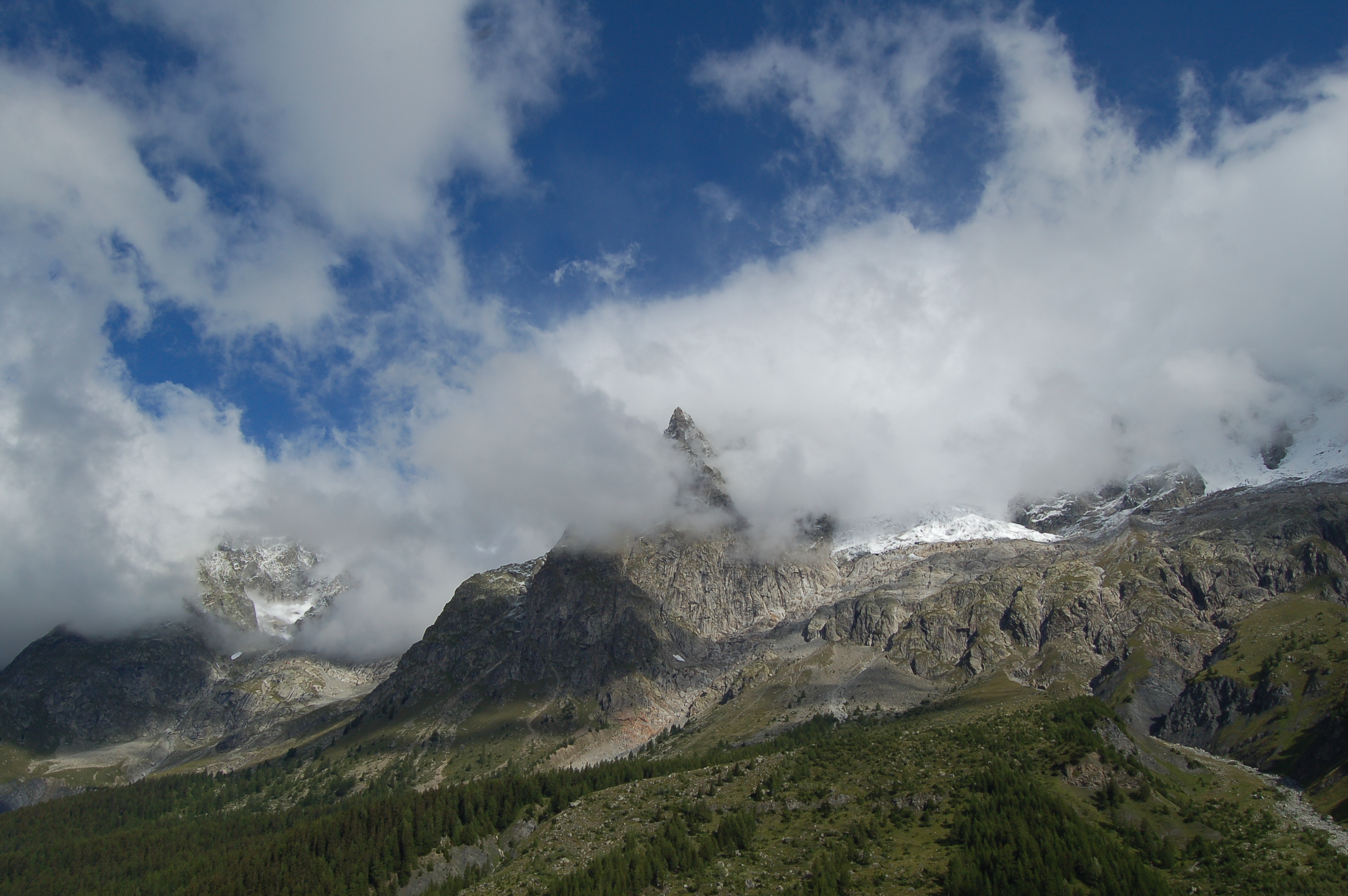
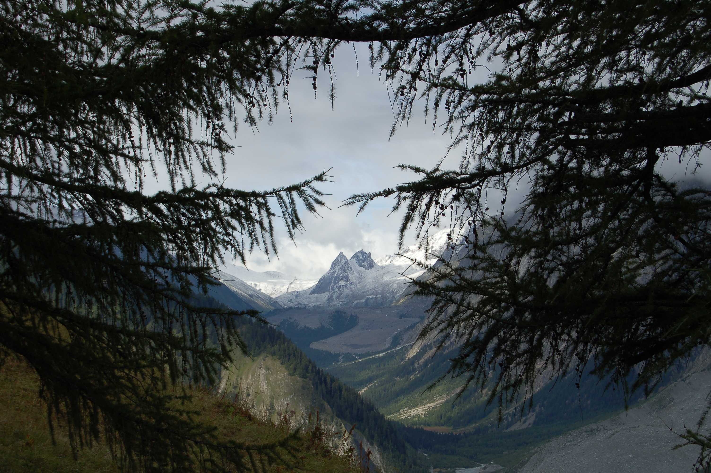
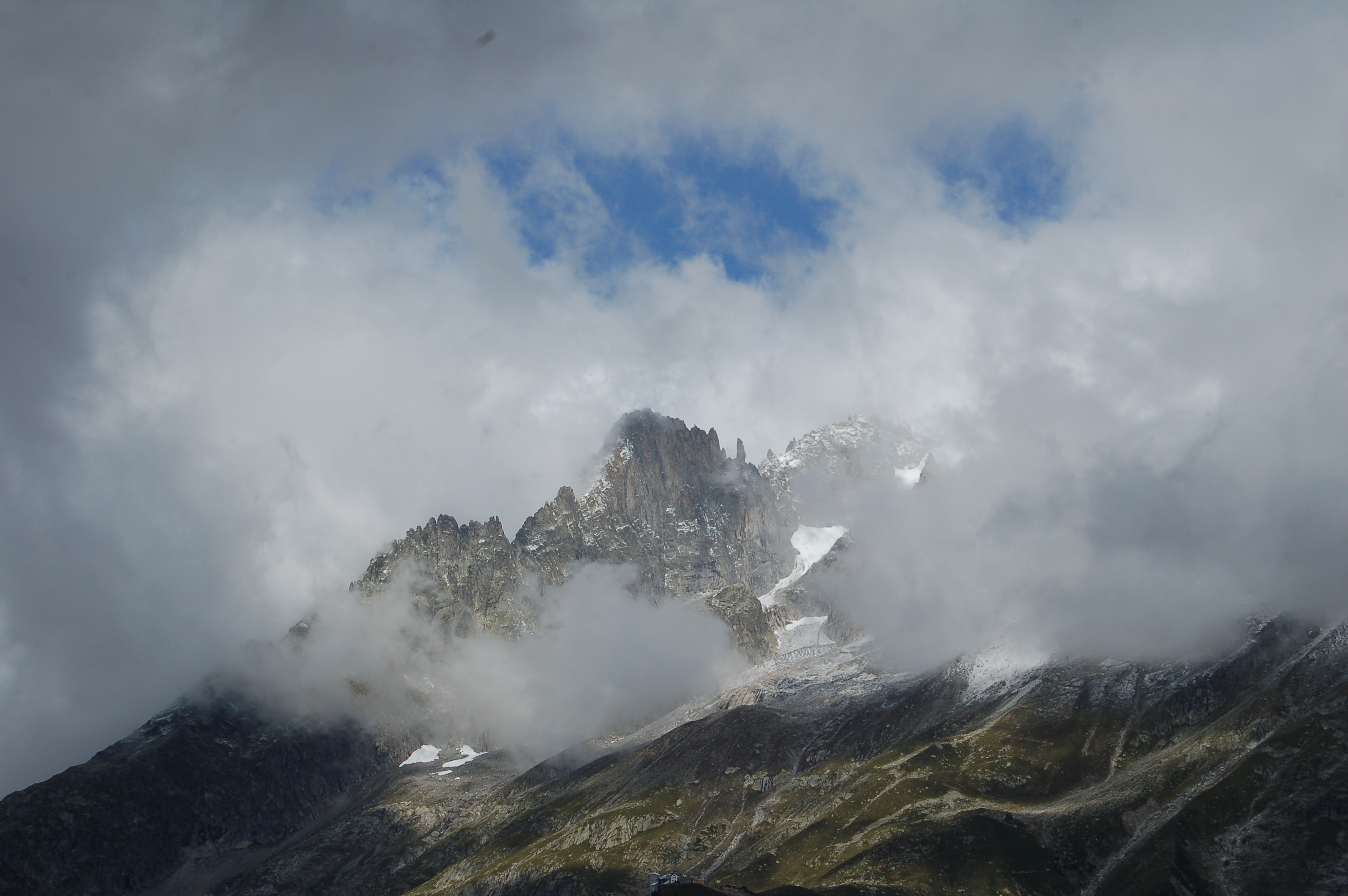
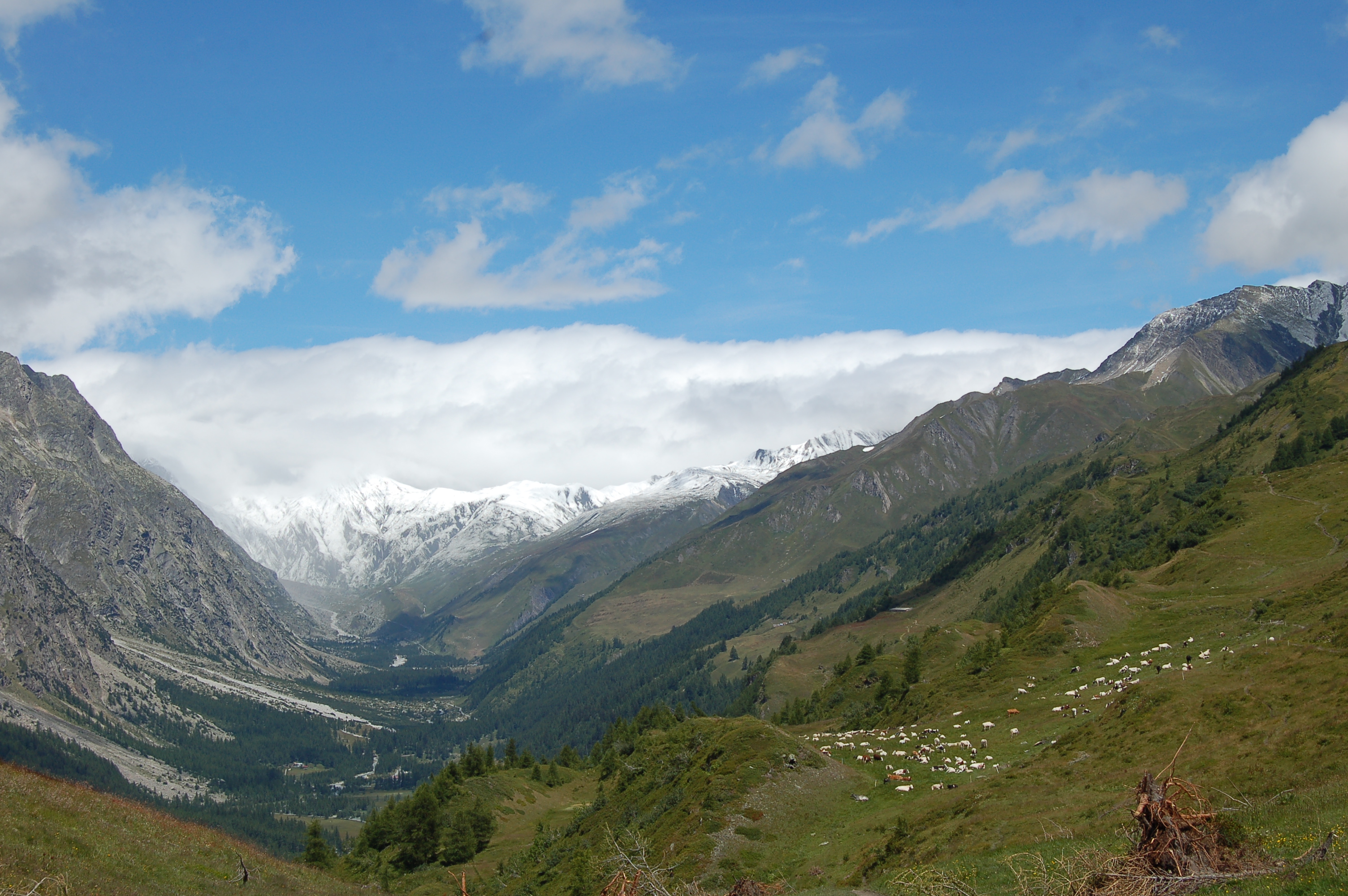
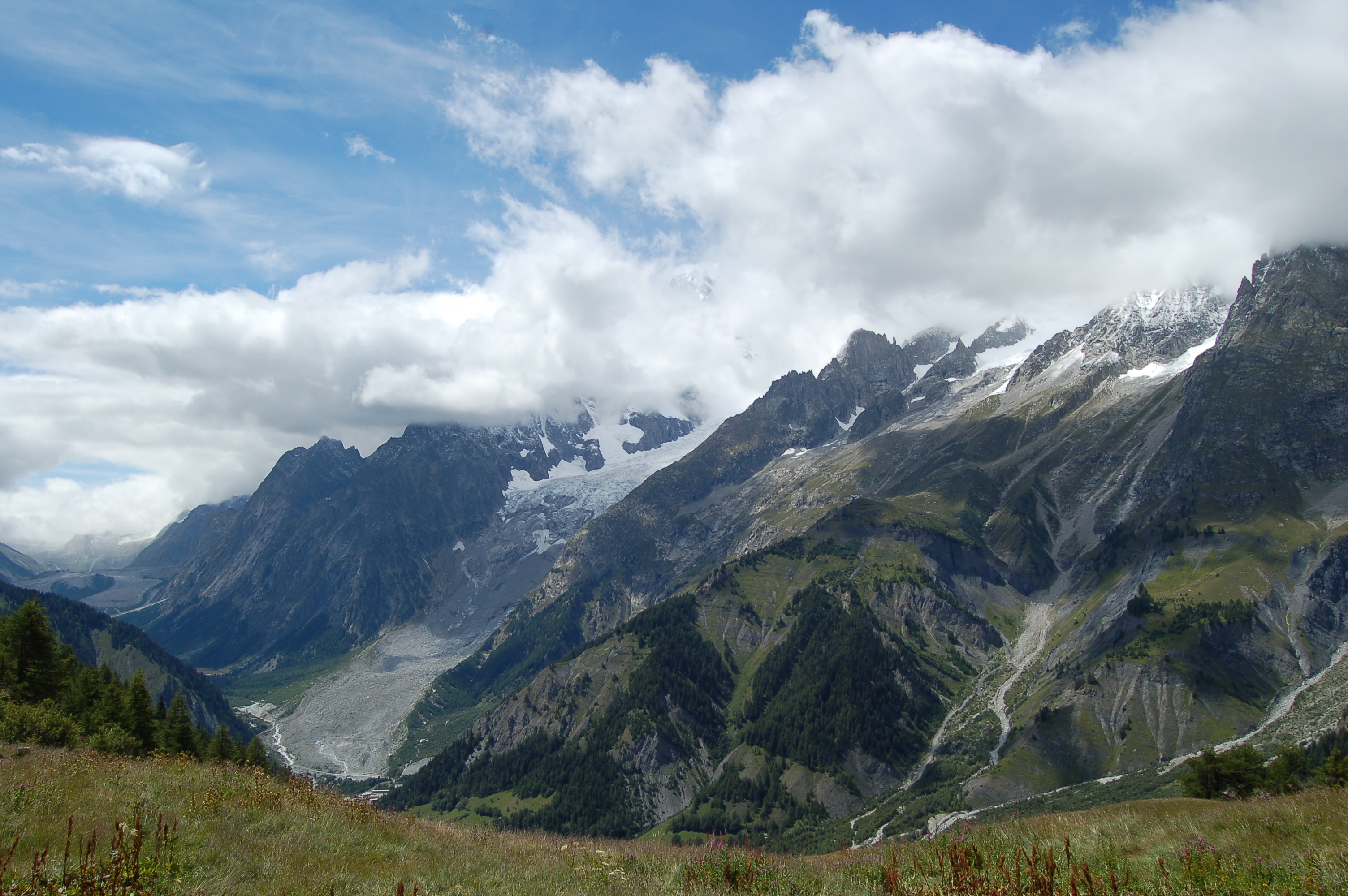
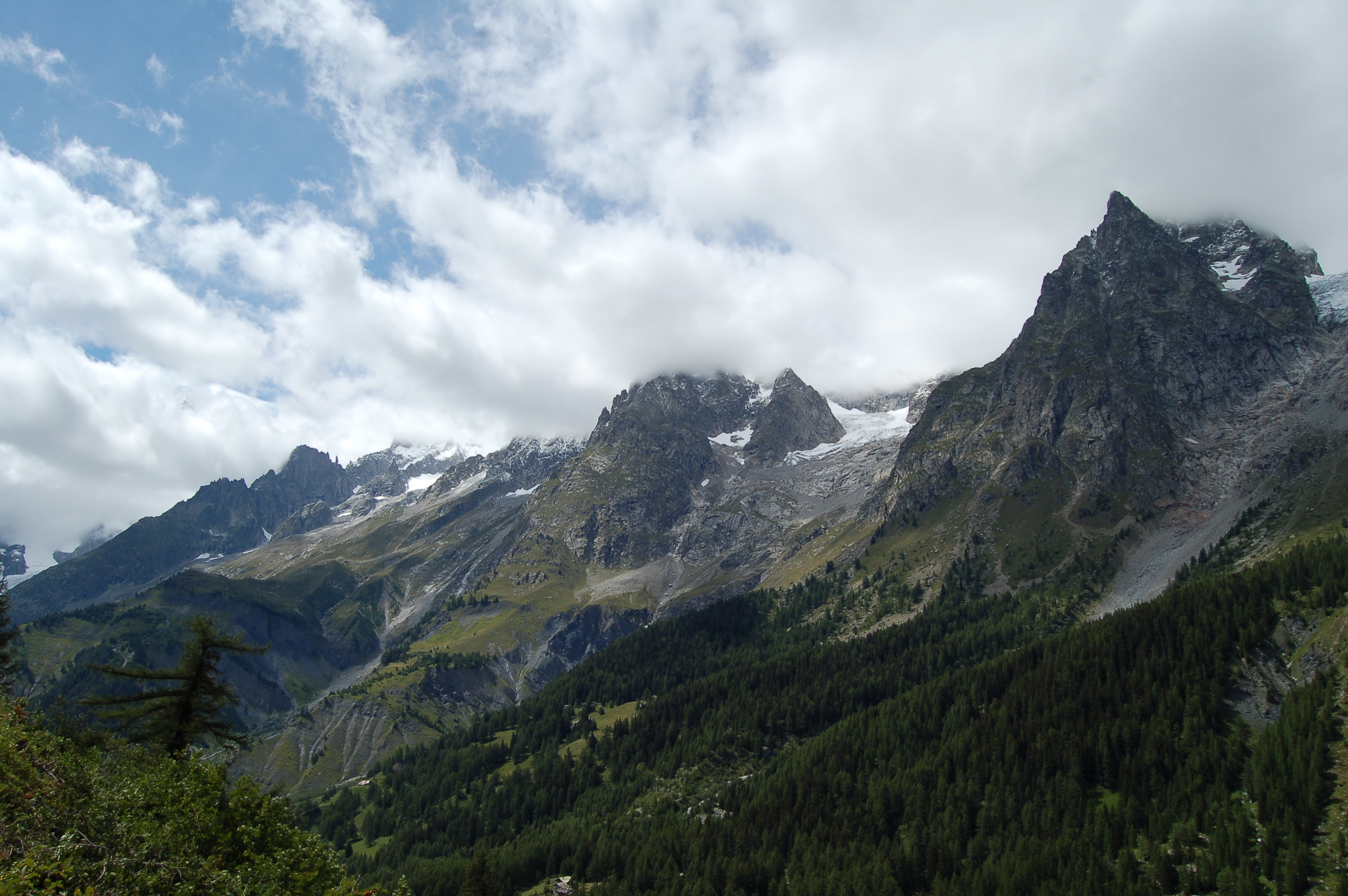
A round-trip route that climbs up the Val Sapin valley, on the northern flank of the Mont Blanc massif, in the Courmayeur area, within the Espace Mont Blanc. The route alternates between sections of dirt track and footpath through forests of Scots pine, birch and larch, offering views of Mont Blanc, theAiguille Noire de Peuterey and Mont Chetif in the lower section, and Mont Crammont and the mountains of La Thuile in the upper section. On the ascent, you will come across the monument dedicated to the Aosta Battalion. The Bertone Mountain Hut, the destination of the hike, is situated in Praz de la Saxe and offers catering facilities; it is also a stop on the Tour du Mont Blanc and the Alta Via 1 of the Aosta Valley. The moderate elevation gain and the absence of exposed sections mean the route is classified as T2 difficulty. The best time to visit is from June, when the refuge reopens after the winter closure, to September. Between late August and mid-September, the initial section of the route coincides with that of the area’s main ultra-trail races: the UTMB and the CCC pass by the Bertone Mountain Hut in the early stages of the race from Courmayeur, whilst the Tor des Géants passes by it during the final kilometres before the finish line, in mid-September.
Description
0h00'0.00km
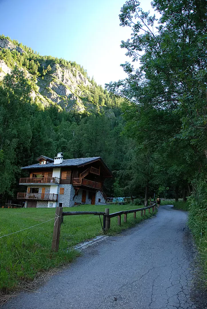
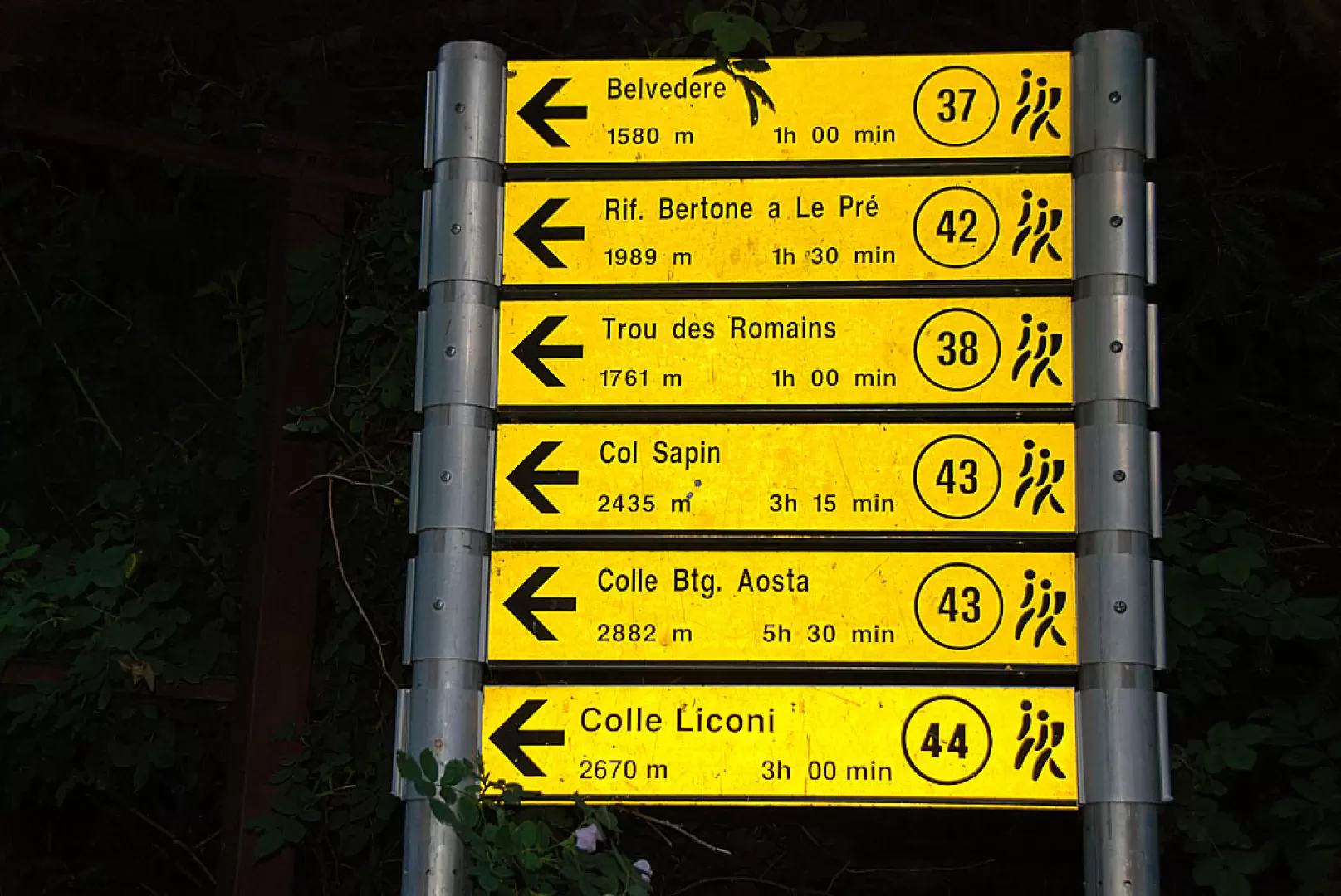
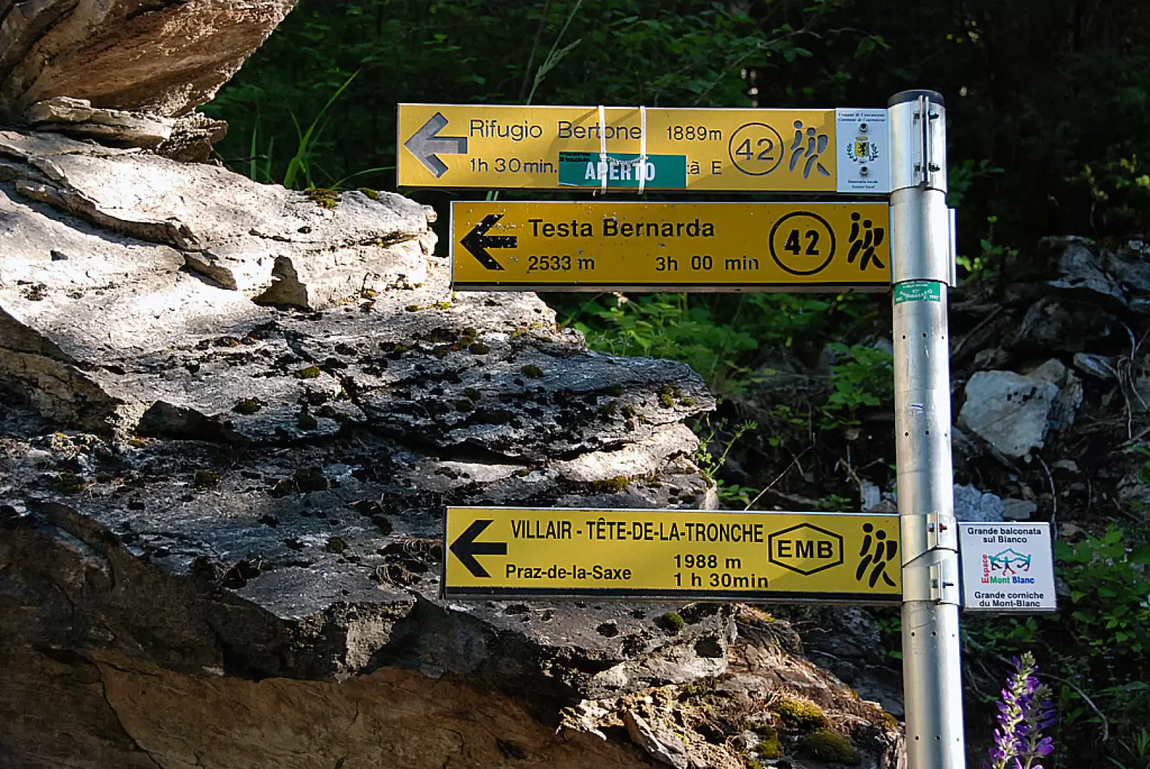
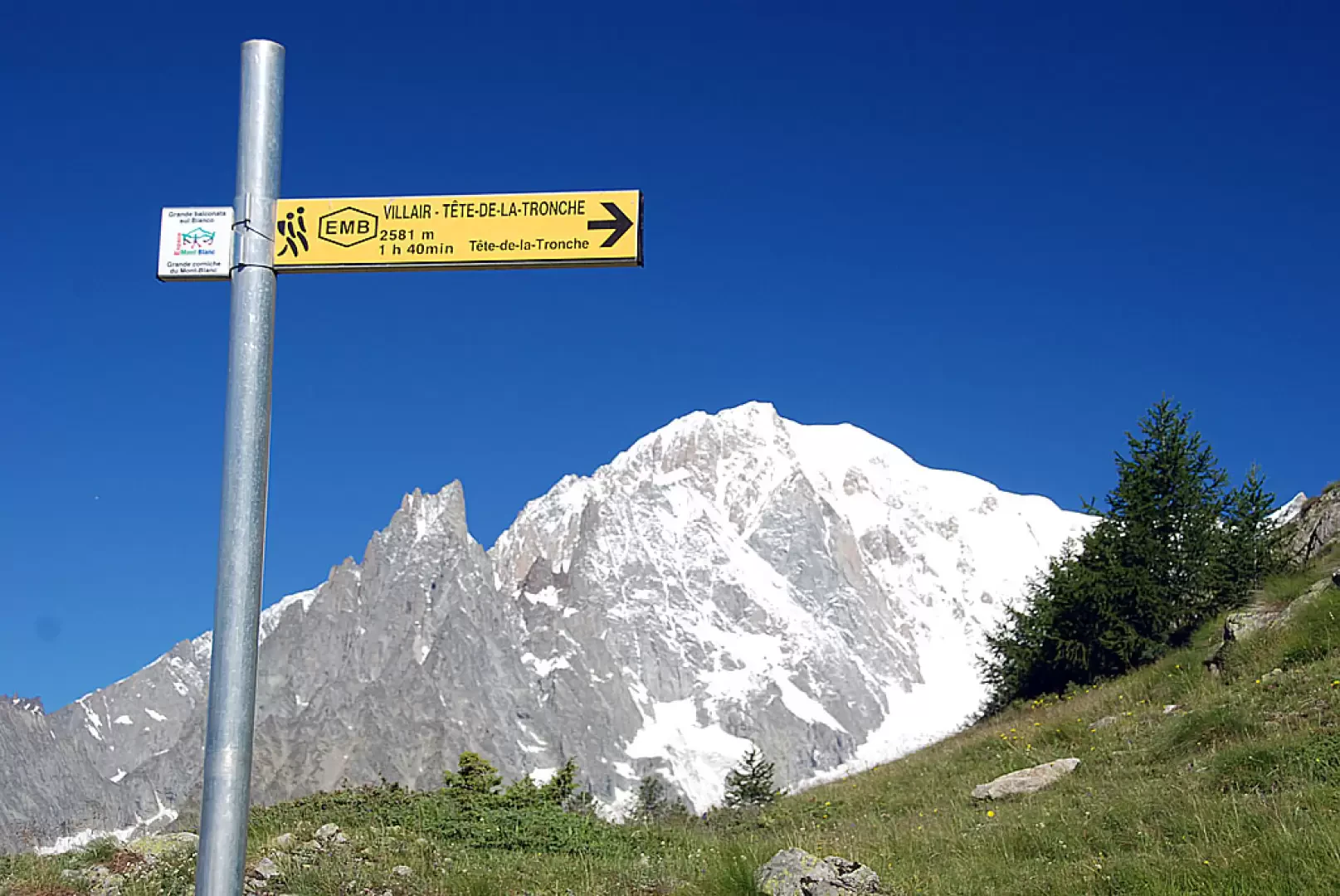
Leave the Raffort car park and continue along a narrow road, which is tarmac at first but turns to a track at a chalet on the left. Take a tree-lined path that climbs up the left bank of the Val Sapin stream to a signpost with the Espace Mont Blanc trail map and the signpost indicating trail
to the Bertone Refuge. Pass a barrier and continue along the dirt track; cross the stream via a small concrete bridge and climb gently, with views of Mont Blanc, theAiguille Noire de Peuterey and Mont Chetif, until you reach the Belvedere junction (1,403m).
0h05'0.18km
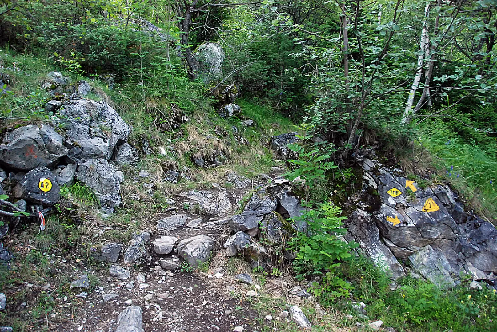
At the junction for Belvedere (1,580 m), follow the farm track to the left, path
; to reach the Bertone Mountain Hut, continue along path
, ignoring the turn-off for La Saxe (1,226 m). Cross a Scots pine forest (Pinus sylvestris) and silver birch (Betula pendula), with no significant change in altitude, until you rejoin the farm track, marked by a signpost, at the junction for Trappa (1,465 m).
0h15'0.50km
At the junction, the farm track continues towards Trappa: carry on along path
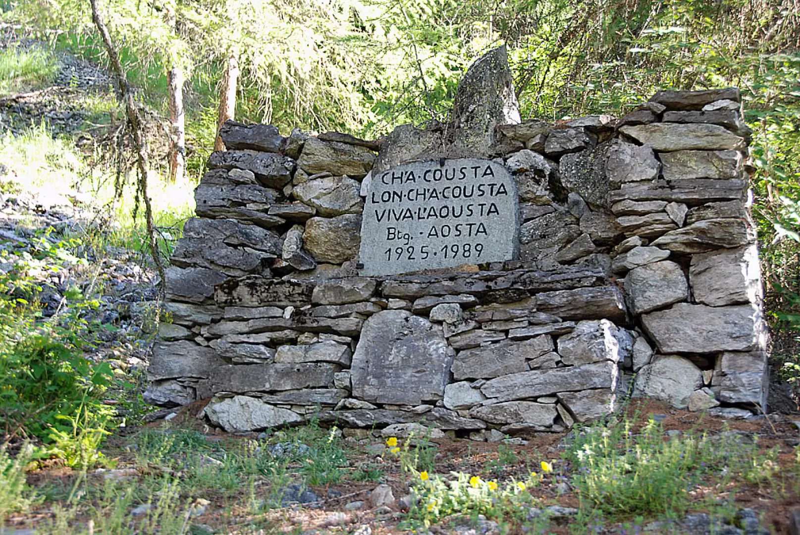
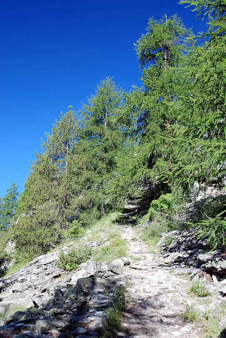
, which turns left and climbs through a larch forest (Larix decidua) until you reach the monument dedicated to the Aosta Battalion (1,565m). Continue the ascent through the woodland, with panoramic views of the mountains of La Thuile, Mont Crammont and Courmayeur below, until you leave thelast stretch of larch trees and reach a signpost at the foot of the Bertone Mountain Hut, at Praz de la Saxe (1,984m) 1h45'2.62km .
The return journey follows the same route taken on the ascent 1h00'2.62km .


Comments (0)
Sign in to leave a comment