Leave the Châtillon-Saint-Vincent motorway junction , turn left onto Via E. Chanoux and follow it for about 100 metres. Then turn left again onto Regional Road towards Pontey. Continue downhill, passing two roundabouts and the railway station, then go under the railway line, ignoring the turn-off for Ussel. Cross the bridge over the Dora Baltea and turn right towards Pontey. After a few metres, on the right, there is a small free car park 🅿️ where you can leave your car.
The directions provided were verified on the date the route was mapped. Before setting off, it is advisable to check for any changes to the route. For up-to-date and detailed directions, we recommend using Google Maps or Apple Maps.
Introduction
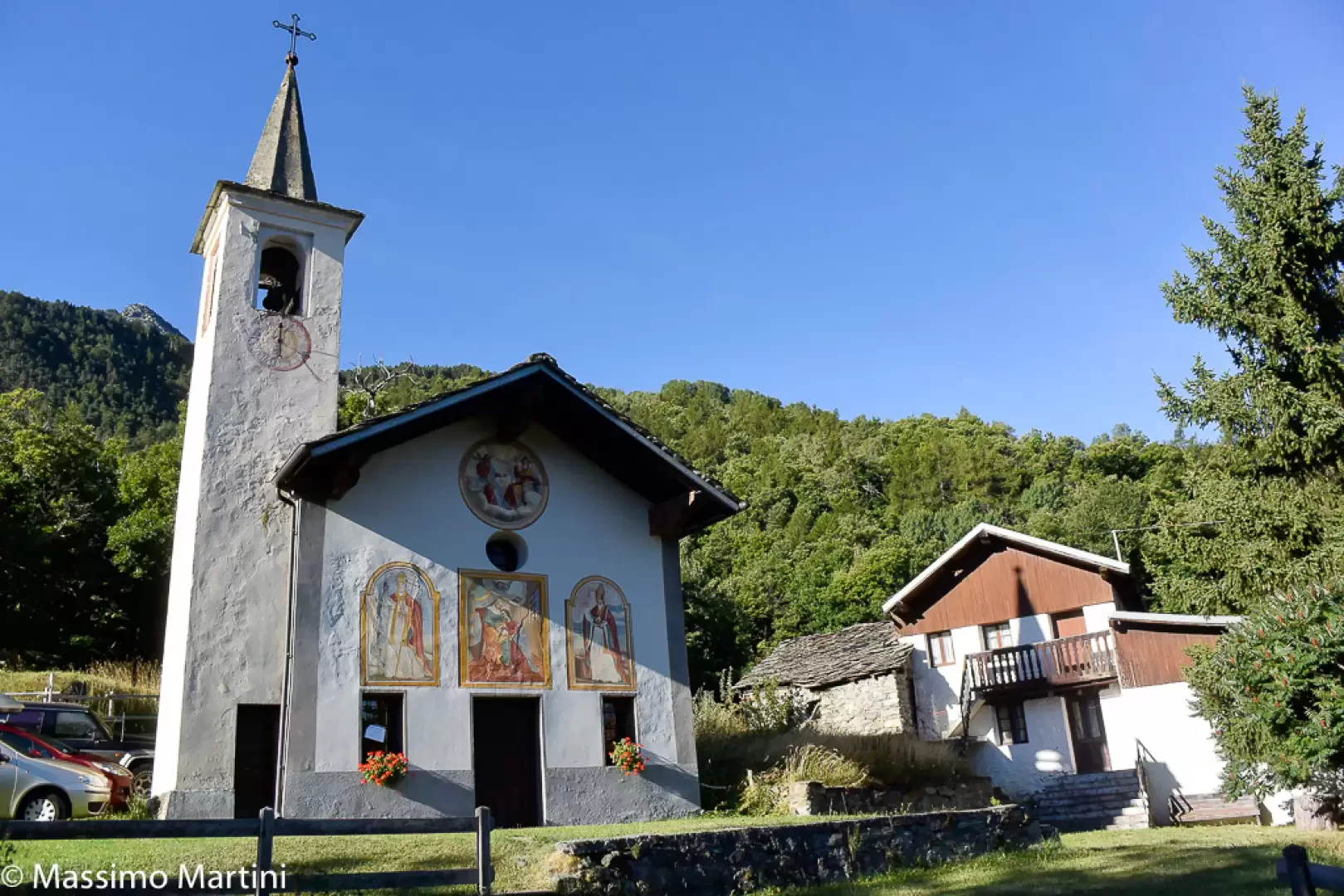
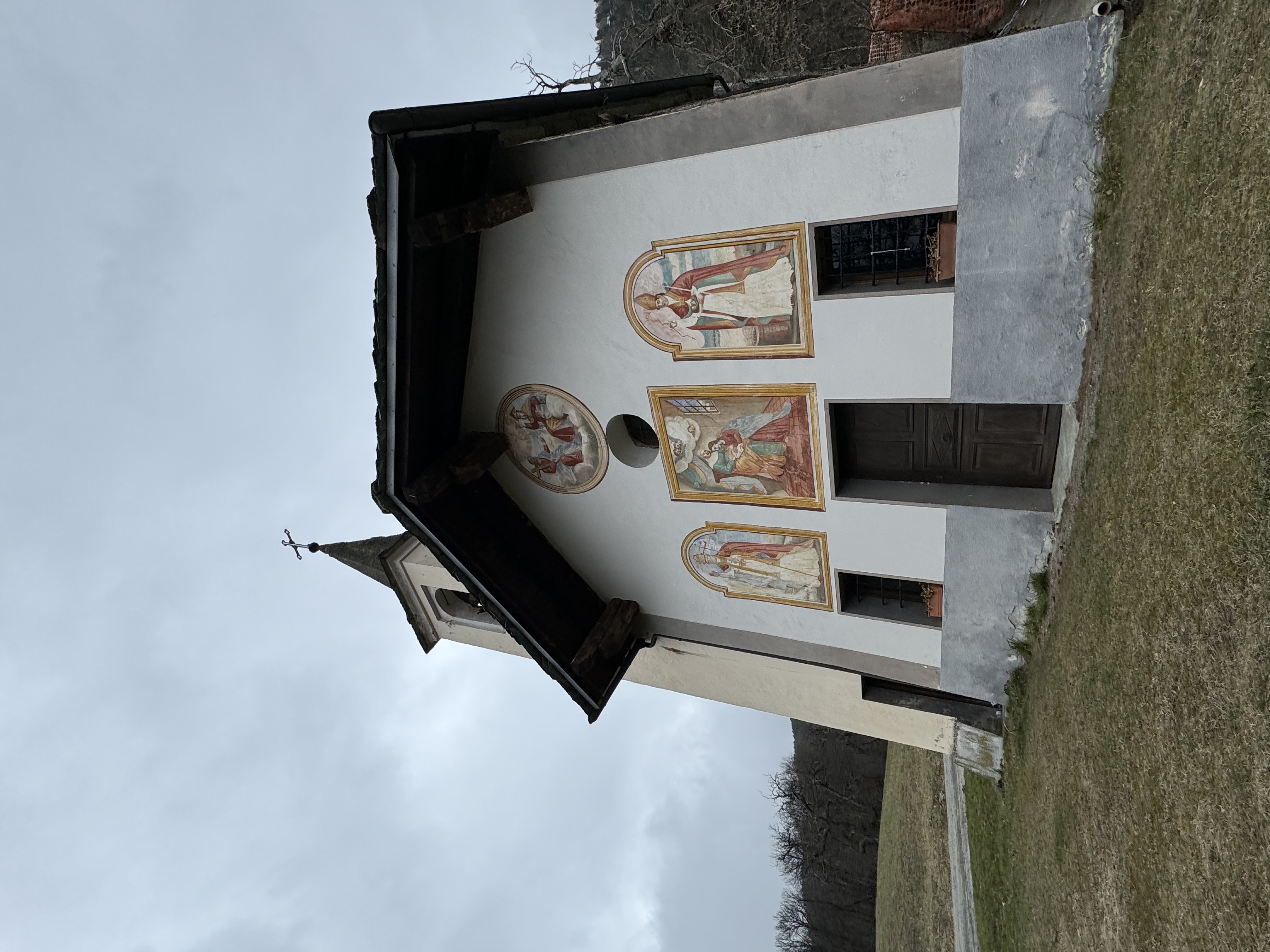
Bellecombe is a charming village situated on the wooded northern slope of Mont Barbeston. The walk described here follows the classic ascent route, starting from the Saint-Clair bridge. The climb presents no particular difficulties and winds its way through a beautiful chestnut wood. Just above Taxard, there are brief but picturesque panoramic views over Ussel and the villages of Saint-Vincent and Châtillon. The walk ends in front of the frescoed chapel dedicated to Saint Anne, built in 1679.
Description
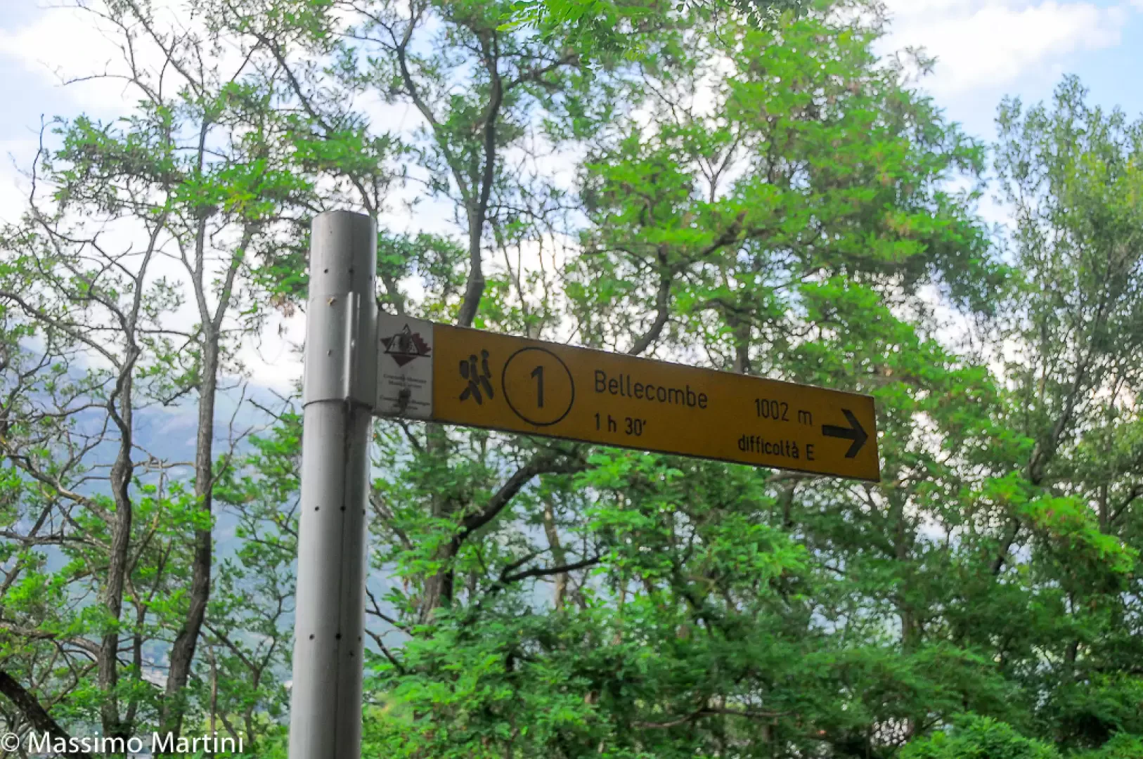
0h00'0.00km Cross the regional road to reach the start of the path: after a few metres, at a signpost, you’ll come to a fork in the path.
0h01'0.01km
Ignore the path
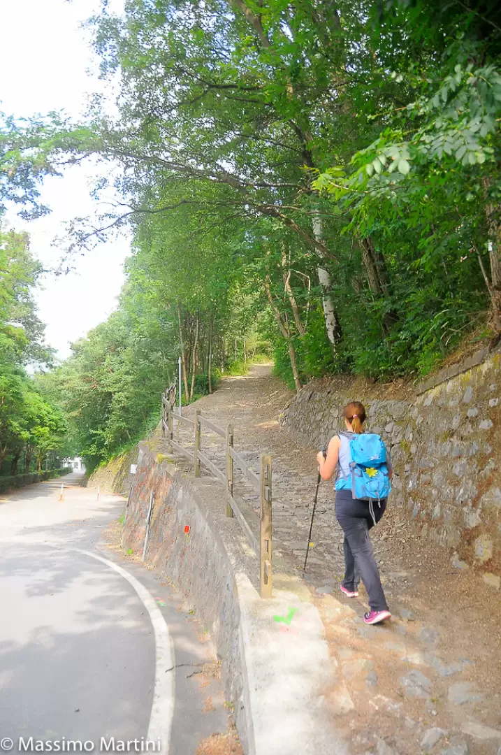
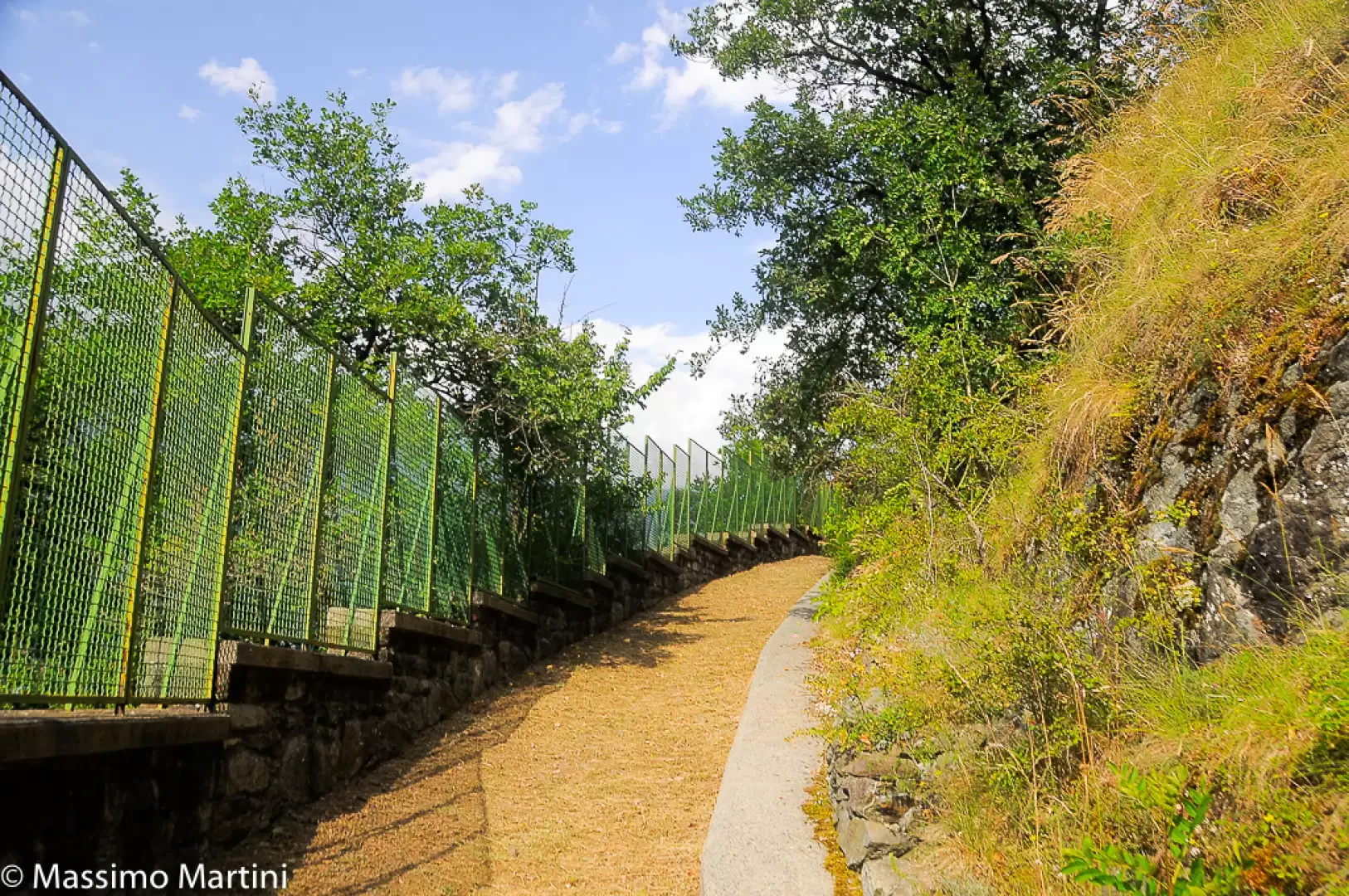
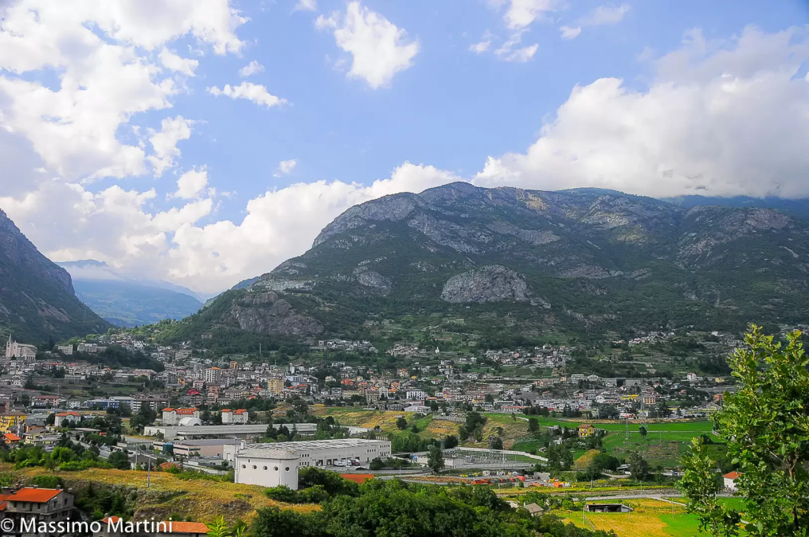
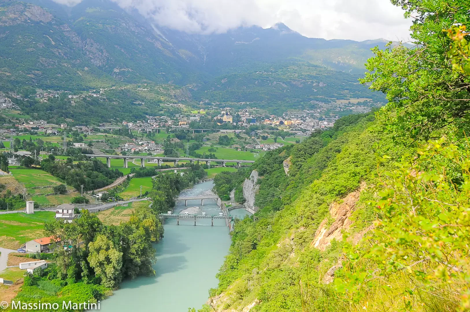
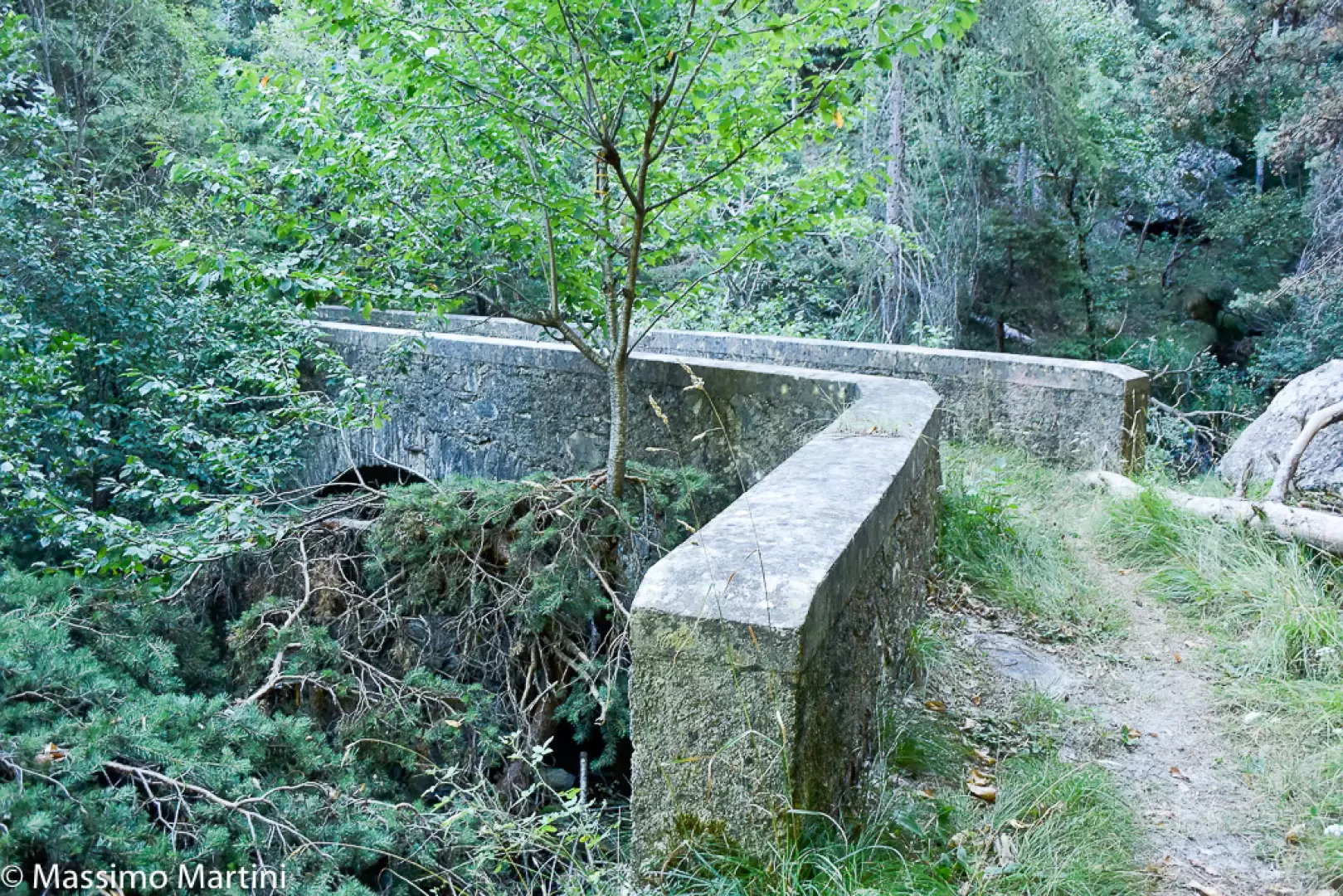
to Gimiod and, following the signs for Bellecombe, continue straight on along the wide, gently ascending mule track. The beautiful stone-paved mule track narrows near a small bridge, just before a low wall topped by a grille, which protects the Saint-Clair hydroelectric intake below. The trees thin out slightly, offering some interesting views of Châtillon and the Dora Baltea river below. A couple of sharp bends take you higher up and direct the route towards the Torrent de Pessey catchment area and its lush vegetation, eventually leading to a gravelled track.
0h24'0.77km
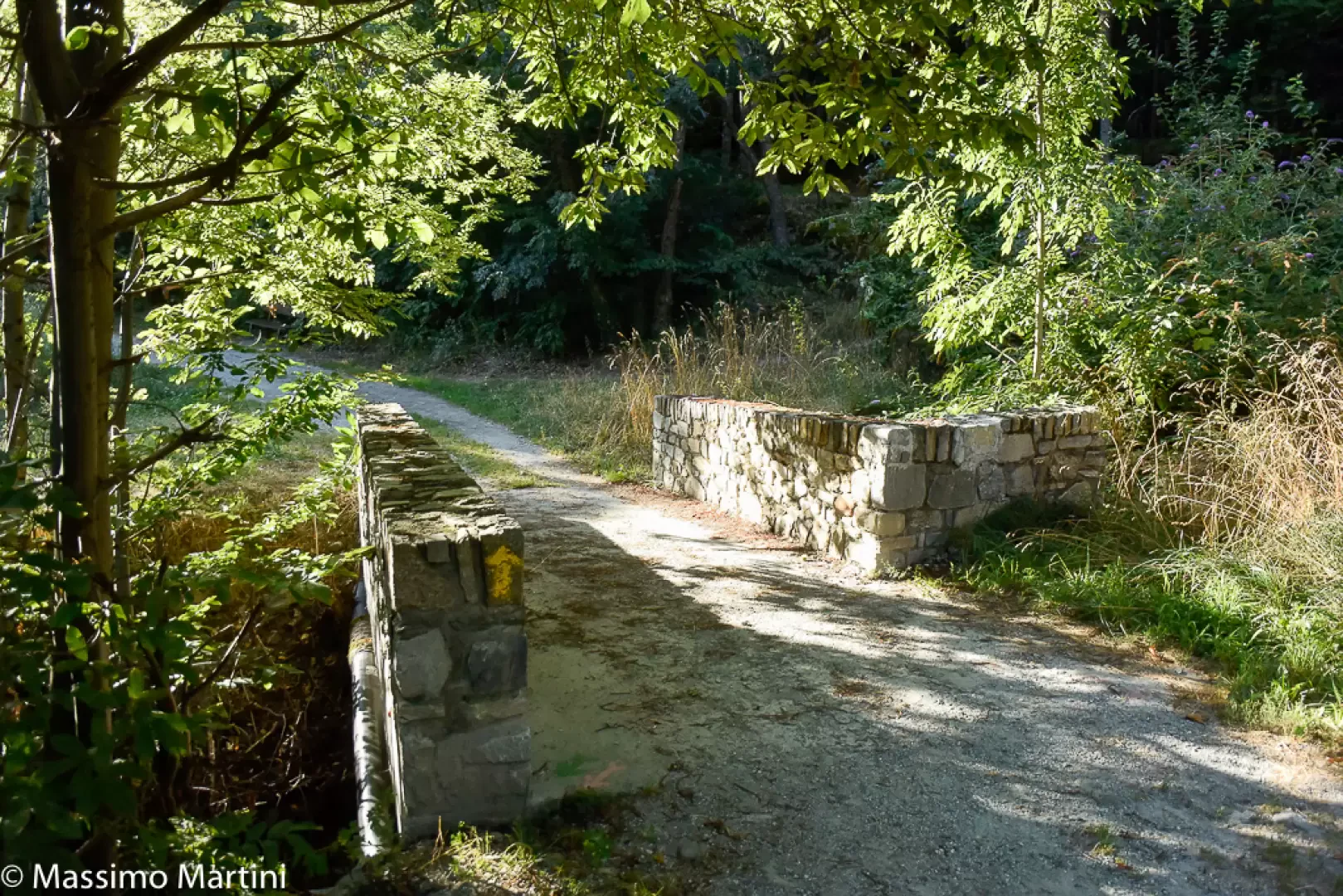
Turn left and cross the bridge over the Torrent de Pessey. After passing a wayside shrine (592m), you reach another junction.
0h25'0.83km
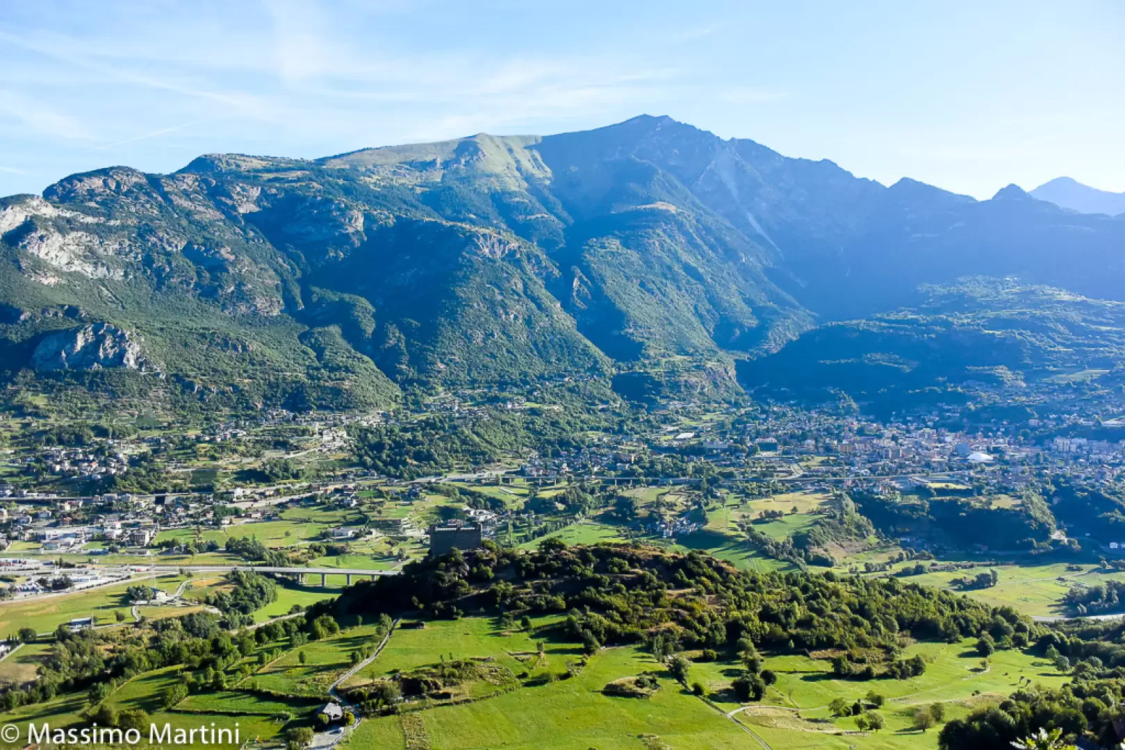
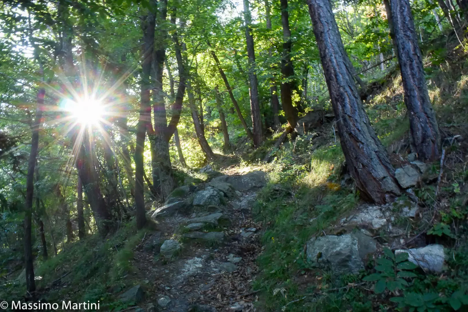
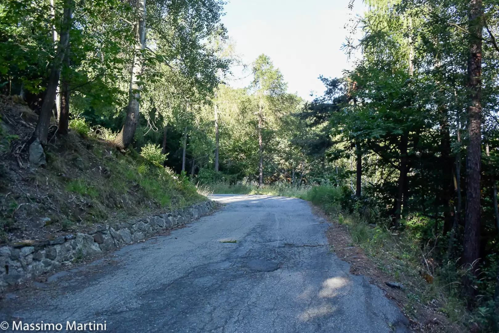
Turn right and take the path which immediately enters the dense woodland, passing above the houses of Taxard. The gradient increases as you pass through an initial stretch of woodland, mainly consisting of downy oak (Quercus pubescens), which subsequently opens up to offer sweeping panoramic views of Ussel below, Saint-Vincent and the imposing massif of Mont Zerbion. After a few bends, the path continues almost level until it reaches a small concrete bridge that allows you to cross the Torrent Moriolaz. Afterwards, the climb resumes with some steepness through the wooded slope, along a series of hairpin bends that lead quickly to the first junction with the local road (855m). Follow the road to the right for a few hundred metres, taking a hairpin bend to the left, until you come across a faint yellow marker on the right indicating that you should rejoin the path. The woodland changes in character and the sweet chestnut (Castanea sativa) becomes the dominant species. The path climbs without too many bends until it reaches the local road again (897m); follow this for a few metres, as immediately on the right another marker indicates that you should rejoin the path. You continue uphill through the woodland, where the thick foliage almost completely covers the path. After a few bends, you reach the local road again (948m) and, after a final stretch of path, you finally arrive at the road near Bellecombe. Turn left and follow the road until you reach the houses at Perry (1,002 m) – there’s a drinking fountain 💧 on the right, near the Trattoria dei Cacciatori – and, after awide bend to the right, you reach the village of Bellecombe, in front of the pretty chapel dedicated to St Anne (1,020 m) 1h30'2.81km (556 m elevation gain).
The descent follows the same route as the outward journey 2.81km (556 m elevation loss). To return to the starting point, allow 0h40' to reach Taxard and 0h55' to reach the starting point.
Ho percorso questo itinerario all'interno del percorso ad anello che ho denominato Tor de Rodoz.
Il sentiero è completamente percorribile e si trova in buone condizioni: qualche foglia nella parte alta che non pregiudicano la percorrenza o il reperimento del sentiero.
Giornata uggiosa con qualche goccia d'acqua, temperatura sui 5°C.

Comments (0)
Sign in to leave a comment