Emarèse

Introduction
Description
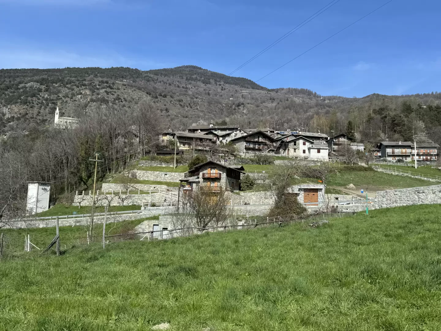
It is a small commune situated on the hill overlooking the more famous Saint-Vincent. It is a very ancient settlement: a tumulus tomb found in the locality of Chessan can be dated to the Iron Age.
Throughout the centuries, however, the identity of the village has not substantially changed: it is an agricultural settlement, which experiences all the difficulties of this sector in a mountainous environment. Many of its inhabitants supplement their agricultural work with commuting to other economic activities in the valley bottom.
Two moments alone brought Emarèse into the limelight: the discovery of gold nuggets in the 18th century with the consequent onslaught of improvised prospectors (which promptly ceased due to the scarcity of results), and the discovery of an asbestos seam in 1872 with the consequent opening of a mining operation that ended in 1939.
Fact sheet
Area: 10.06 sq km
Altitude: 1170m
Maximum elevation: Testa di Comagna (2106m)
Number of inhabitants: 223
Name in dialect:
Inhabitant name: Emaresott
Patron Saint:St. Pantaleone (27 July)
Website: www.comune.emarese.ao.en
Webcam:
Bordering municipalities: Brusson, Challand-Saint-Anselme, Challand-Saint-Victor, Montjovet, Saint-Vincent
Villages and hamlets: La Saléraz, Émarèse, Érésaz, Ravet, Chassan, Settarme, Sommarèse, Longeon
Alpeggiations:
- Hiking in Emarèse
Information
Superficie: 10,06 kmq
Altitudine: 1170m
Maggior elevazione: Testa di Comagna (2106m)
Numero abitanti: 223
Nome in dialetto:
Nome abitanti: Emaresott
Santo Patrono: San Pantaleone (27 luglio)
Sito internet: www.comune.emarese.ao.it
Webcam:
Comuni confinanti: Brusson, Challand-Saint-Anselme, Challand-Saint-Victor, Montjovet, Saint-Vincent
Villaggi e frazioni: La Saléraz, Émarèse, Érésaz, Ravet, Chassan, Settarme, Sommarèse, Longeon