Domianaz

Access
At the motorway exit of Châtillon, turn left towards the centre of the town; when you reach the little central square, turn right and follow the entire street to a crossroads: go straight on, following the signs for the hilltop villages (Domianaz). Go up the hill, passing several villages, until you come to the junction for the panoramic road towards Saint-Vincent near Albard: ignore the latter, turning left and, after four hairpin bends, you will come to the characteristic little church of Domianaz: turn right and you will reach the small car park 🅿️ behind the chapel where you can leave your car.
[0h13'] - [5,7km]
How to get there with GMAPS
How to get there with Apple Maps
The directions provided were carefully checked on the date the route was taken. However, it is highly recommended to check for any changes that may have occurred since then, especially regarding the route to the starting point. Before embarking on your journey, it is advisable to consult up-to-date navigation tools for accurate and up-to-date directions. We recommend the use of satellite navigation apps, such as Google Maps or Apple Maps, to ensure the most accurate and safe route.
Introduction
Domianaz is a picturesque village located in the municipality of Châtillon, in the Aosta Valley. Perched on a hillside, the village offers a panoramic view of the valley below and the surrounding mountains. Its privileged location makes it an ideal place for those wishing to immerse themselves in Alpine tranquillity, while remaining within easy reach of the main towns.
The village is surrounded by lush vegetation, with deciduous and coniferous forests outlining the landscape. Not far away are the Marmore stream and the Dora Baltea, which contribute to a rich and varied natural environment. Domianaz is located at an altitude of around 750 metres above sea level, guaranteeing a mild climate in summer and impressive snowfall in winter. Its proximity to Châtillon, just a few kilometres away, provides easy access to the services and attractions offered by the municipality.
Description
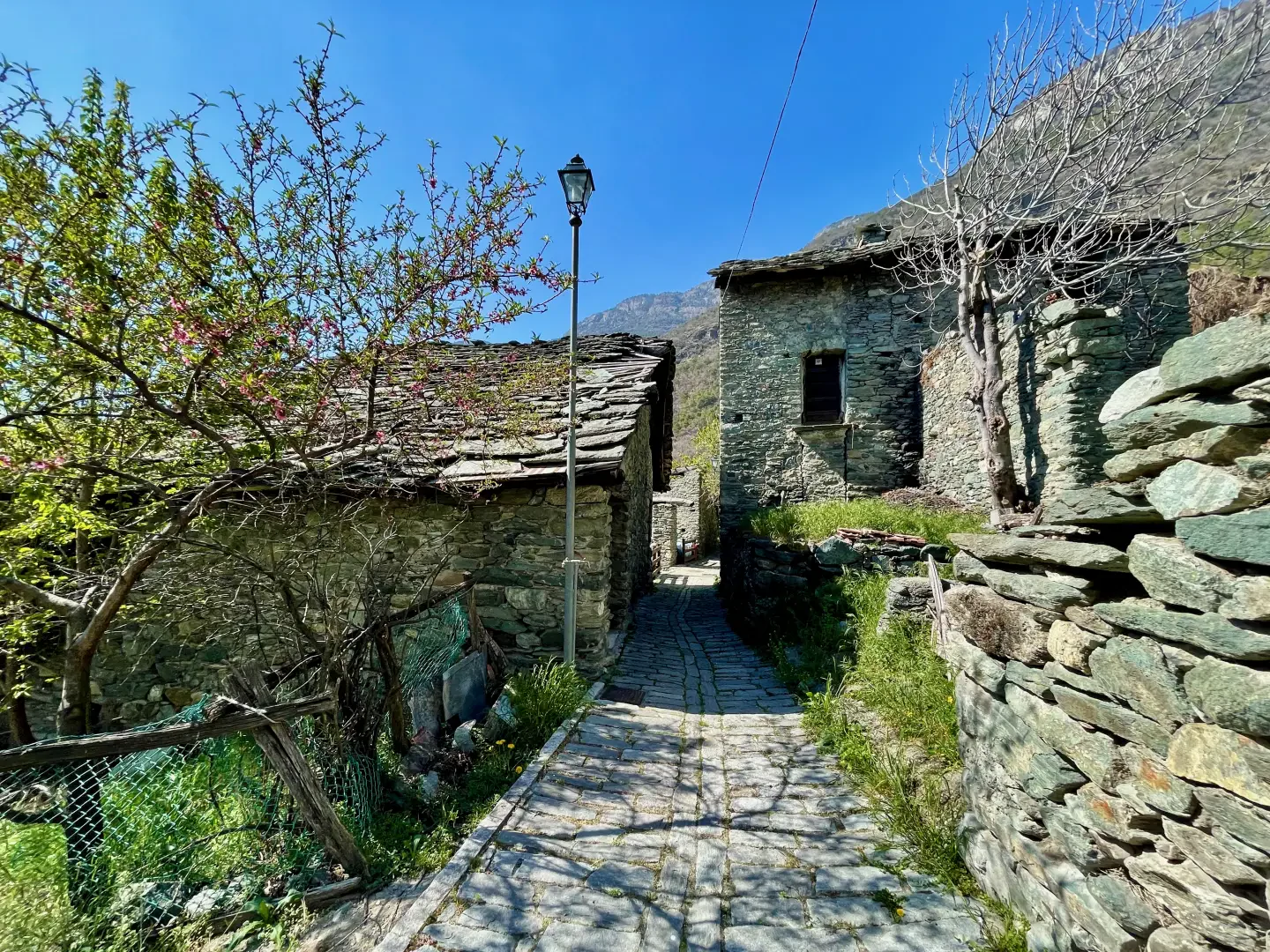
The origin of the name 'Domianaz' may derive from ancient local appellations, although there are no historical documents attesting precisely to its etymology. The village's history is closely linked to that of Châtillon, a commune of protohistoric origin that, during the Roman period, was an important centre crossed by the Via Consolare Romana, also known as the Road of the Gauls. Over the centuries, Domianaz has kept its traditional architectural structure intact, with stone and wooden buildings that bear witness to the craftsmanship of past generations.
A geological peculiarity of the area is the presence of ancient quarries, evidenced by paths such as the one that connects Domianaz to the hamlet of Nissod, known as the 'path of the old quarry'. These rock formations have provided building materials used over the centuries for the construction of local dwellings. In addition, the village's hillside location provides a microclimate favourable to the growth of a varied flora, making the area particularly interesting for botany enthusiasts.
Information
Height: 733m
Alternative name: -
Populated:yes, all year round