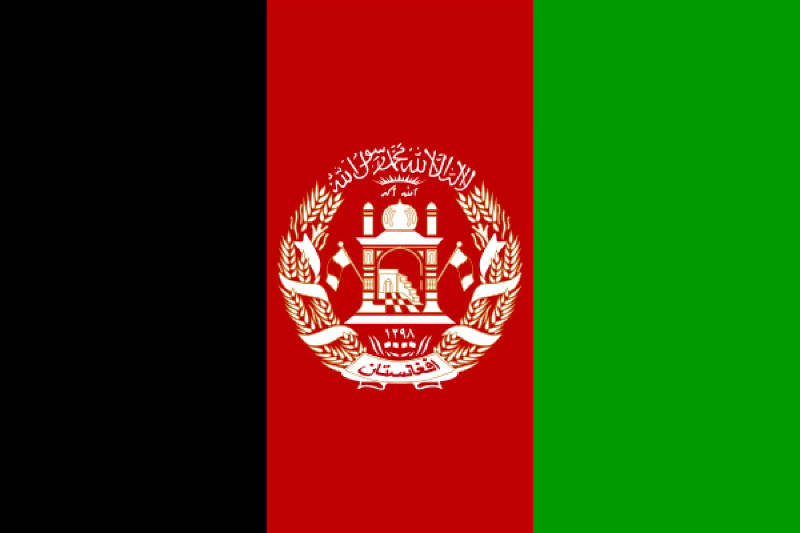
Afghanistan

Access
Afghanistan, despite its strategic location in the heart of Asia, has a limited and constantly developing transport network, influenced by its geography and history of conflict. To reach the main locations in the country, the most used and practical means is by air. The main airports include the Hamid Karzai International Airport in Kabul, the country's main hub and access point for most international visitors, Kandahar Airport, and those in Mazar-i-Sharif and Herat. These airports connect the main Afghan cities both with each other and with some neighbouring countries.
Afghanistan's railway network is still in its infancy, with a few strategic routes built to connect the country with its neighbours. The railway line from Hairatan to Mazar-i-Sharif is one of the most important, being connected to Uzbekistan's Russian broad gauge network. Other significant projects include the link between Khaf, Iran, and Herat, which follows the Iranian standard gauge and offers crucial access for trade and travellers. However, the lack of a developed internal network makes rail transport impractical for internal travel.
The road network is the main system for moving within the country. Major highways, such as the Ring Road, form the backbone of the road system, connecting Kabul with Kandahar, Herat, Mazar-i-Sharif and other key cities. The quality of the roads varies significantly: while some highway sections have been rehabilitated in recent years, many secondary roads remain in poor condition, especially in mountainous and rural areas. Road travel requires sturdy vehicles, particularly to reach remote regions such as the Wakhan Corridor or the Hindu Kush.
The provincial transport system is often limited, with unpaved roads and routes difficult to negotiate during the winter months. Mountain passes such as the Khyber and Salang are vital for regional connectivity but are subject to seasonal closures due to bad weather. In many areas, private transport such as off-road vehicles or trucks are the norm, while public transport is often overcrowded and unreliable.
Moving around Afghanistan requires careful planning, considering both the infrastructure conditions and the political and security situation. Digital resources for navigation, such as online maps, can be useful, but local and up-to-date information is often indispensable to deal with any changes in routes and travel arrangements.
Introduction
Afghanistan, located in the heart of South Asia, is a landlocked state known for its strategic location connecting Central Asia, the Middle East and the Indian subcontinent. With an area of 652,864 km² and an estimated population of around 40 million in 2021, the country has Kabul as its capital and main political, economic and cultural centre. Its official languages are Dari and Pashtu, and the predominant religion is Islam. After centuries of turbulent history, culminating in the Taliban's recent return to power in 2021, Afghanistan remains a complex nation full of contradictions, but also of cultural and natural potential.
Description
Afghanistan is characterised by a mountainous geography with the Hindu Kush as the backbone that divides the country, continuing into the Pamir and Karakorum massifs. This conformation creates a landscape of deep valleys, arid deserts and fertile plateaus. Major rivers, such as the Kabul and the Amu Darya, flow through the country, providing vital resources in a predominantly arid climate. The environment is dotted with unique fauna such as the snow leopard and Marco Polo's sheep, while the flora, influenced by the dry climate, varies from alpine meadows to barren deserts.
Afghanistan's history is a complex mosaic that dates back to ancient Zoroastrian, Hellenistic and Buddhist civilisations, passing through the Islamic conquests of the 7th century. It has been home to powerful dynasties such as the Ghaznavids, Timurids and Durrans, until it became a key pawn in the 'Great Game' between Russia and Britain. Modernity brought a trail of conflicts: Soviet invasions, civil wars, Taliban rule, and international military intervention. Today, the country seeks fragile stability under the new Taliban regime.
The Afghan economy is predominantly agricultural, with a particular dependence on opium poppy cultivation, but also rich in mineral resources that are not yet fully exploited, such as iron, copper and lithium. Limited infrastructure and continuing instability hinder sustainable development, while trade often suffers from corruption and smuggling.
Afghan culture is extraordinarily rich, with a heritage that includes Persian poetry, handmade carpets and traditional music such as that performed with the rubâb. Islamic traditions dominate, but traces of pre-Islamic cultures survive in archaeological sites such as the Buddhas of Bamiyan. Traditional festivals and tribal rituals reflect the diverse identity of the country, which has many ethnic groups, including Pashtuns, Tajiks and Hazaras.
Tourism and hiking, although limited by the political situation, boast destinations such as the high peaks of the Hindu Kush, the Wakhan valleys and UNESCO archaeological sites. Protected areas, including the Band-e Amir National Park, are refuges for unique biodiversity.
Afghanistan invites deep reflection on the relationship between beauty and resilience, between unspoilt nature and a humanity scarred by adversity. Discovering its facets means immersing oneself in a land that, despite the difficulties, continues to tell stories of survival and hope.
Information
Capital city: Kabul
Area: 652,864 sq km
Minimum elevation: 258m
Maximum elevation: 7,492m - Noshakh
Inhabitants: 31.822,848 (in 2014)
Official name: دَ افغانستان اسلامي جمھوريت
Inhabitants name: Afghans
Regions: list - on the map
Provinces: list - on the map
Bordering countries: Iran, Pakistan, Turkmenistan, Uzbekistan, Tajikistan, China
Territory
- protected-areas - map
- colli - map
- lakes - map
- vette - map
- Bivouacs - map
- Shelters - map
Cultural Goods
- Places of Worship