Mont Crammont

Edited by:
Massimo Martini
Access
Leave the motorway at the Morgex exit and head for Pré-Saint-Didier, then take the towards La Thuile as far as the hamlet of Elévaz, past the hairpin bends and tunnels. Turn right onto the road to Torrent and leave your car near the hamlet, as the tarmac road beyond is closed to traffic. No permits are required.
Ascent routes
Mont Crammont, from Elévaz - from Torrent (1,331 m) – south-east face – T2 – 3h 45’ (ascent) -
North face – from Dolonne (1,210m) - PD - 4h
Great Couloir on the eastern face - from Pré-Saint-Didier (1,017m) - EE - 4h -
The recommended period for the normal route is from June to September.
Introduction
Mont Crammont (2,730 m) is a mountain in the Graian Alps, within the Grande Sassière and Rutor Alps, forming part of the Rutor-Léchaud range and the Punta Léchaud-Berio Blanc group. It is situated in the Aosta Valley,Aosta, in the municipalities of Pré-Saint-Didier and La Thuile, between the Valdigne and the La Thuile valley, and overlooks the village of Pré-Saint-Didier.
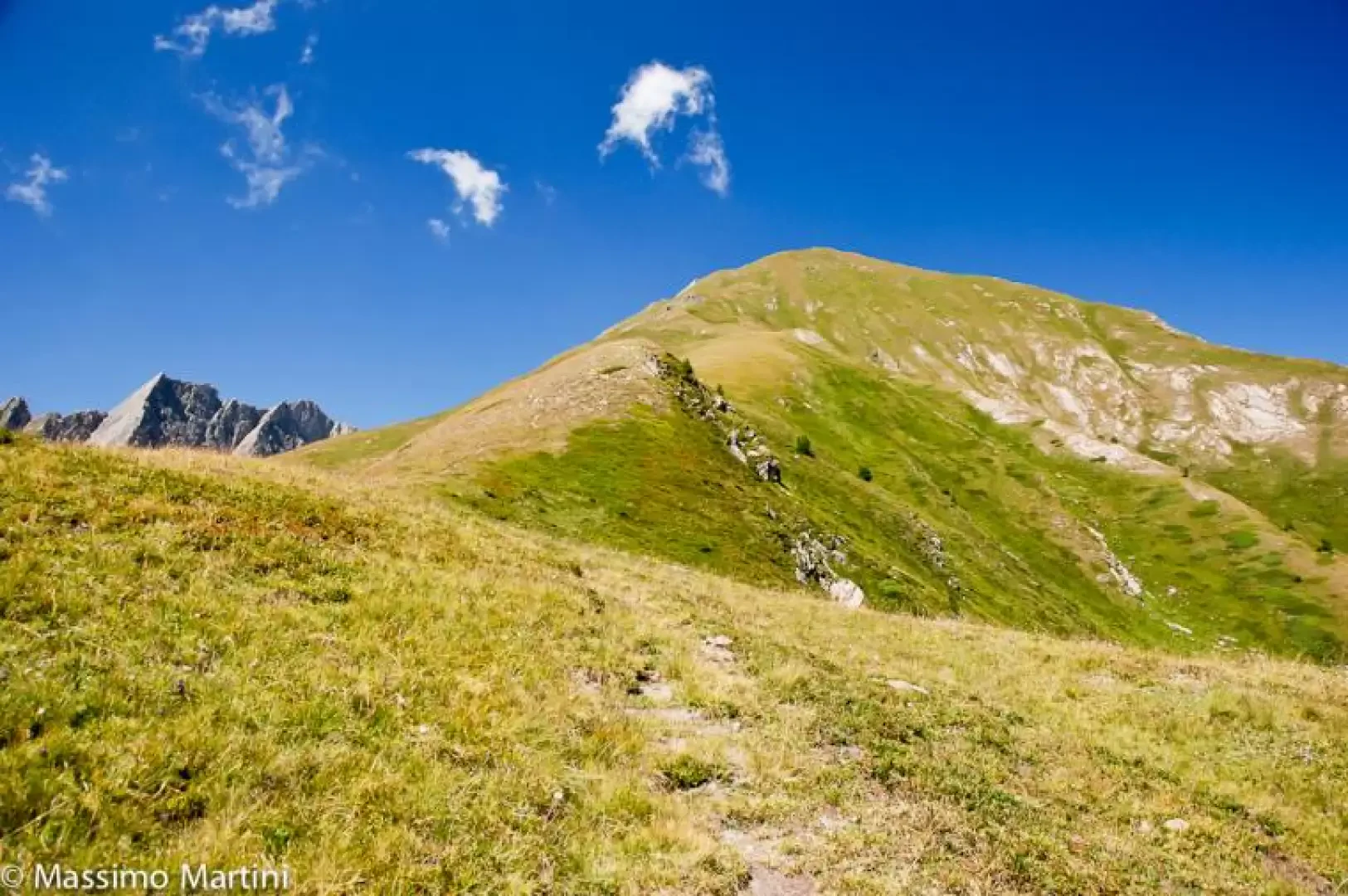
It is the highest peak on the ridge that extends eastwards from the Tête de l’Âne. The eastern slope is a grassy, rounded ridge, whilst on the other sides the mountain drops away in steep walls of crumbly rock. From the summit, one has a close-up view of the southern face of the Mont Blanc massif.
The mountain is of interest for hiking and its panoramic views. The standard route follows a path up the south-eastern slope and does not require mountaineering skills; the routes on the other slopes are less frequented and are of limited mountaineering interest.
Description
Mont Crammont is the highest peak on the ridge that descends above Pré-Saint-Didier after the final spur of the Becca di Nona, also known as Mont de Nona. With its imposing mass, it dominates the orographic right-hand side of the Valdigne; its foothills overlook the La Thuile valley and the Youlaz and Arp valleys. To the east, the summit is grassy and rounded, whilst the other slopes descend as steep walls of crumbly rock. On the secondary summit stands a statue of the Virgin Mary; on the main summit, in addition to the trigonometric marker, there are the ruins of a mountain hut.
The view takes in, up close, the southern flank of the Mont Blanc massif as far as Val Ferret, the Rutor group and the La Thuile valley; further afield, the Grivola and Gran Paradiso can be made out, whilst the Morgex and La Salle plains stretch out in the valley floor.
The large gully on the eastern slope descends above the hamlet of Champex in Pré-Saint-Didier. The lower part is wooded, whilst the upper part consists of steep scree, rockfalls and grassy slopes. Before the reforestation works, an avalanche would descend from the gully every year, periodically blocking the road to Courmayeur at the first hairpin bend.
The place name Crammont derives from the ancient Latin name Mons Cremonis. One map also refers to the summit as Tête du Grand-Mont, a name that does not appear on earlier maps.
The first known ascent was made by Horace-Bénédict de Saussure, who climbed from Elévaz without guides in 1774 and returned in 1778, using the summit as an observation point for studying the southern face of the Mont Blanc massif. Following his description, the climb became fashionable in the second half of the19th century: in 1880, the Aosta section of the CAI built a mountain hut on the summit, the Pavillon de Saussure, and on 16 August 1886, Queen Margherita made the ascent, assisted by the guide Enrico Séraphin. The routes on the eastern and northern faces were opened later: the great eastern couloir was climbed on 15 May 1892 by A. Pelloux and L. Mussillon, and the north face on 18 August
Information
General information
Altitude: 2,730 m
Alternative name: Tête du Grand-Mont (French)
Mountain range: Punta Léchaud-Berio Blanc Group (Rutor-Léchaud range, Grande Sassière and Rutor Alps, Graian Alps)
First ascent: 1774 - Horace-Bénédict de Saussure (first known ascent)
Municipalities: La Thuile, Pré-Saint-Didier
Valleys: Valdigne, La Thuile valley
Mountaineering difficulty: T2 (standard route, hiking scale); PD (north face)
Average elevation gain: 1,399 m (from Torrent)
Recommended period: June to September