Marco Andreis
Wrote 7 reports, for a total distance of 2,30Km up and a total elevation gain of 4,18Km and 37 hours of walking
Active filters:
User: 465
Showing 7 results
with active filters
Loading...
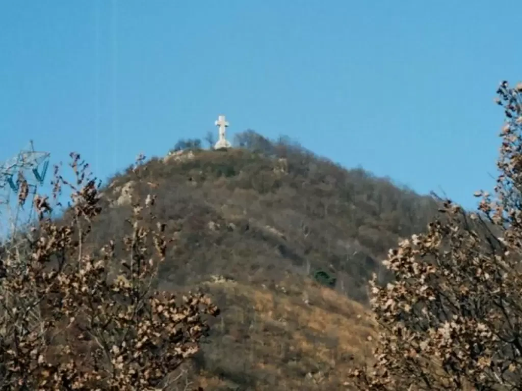
Mount Musinè
Mount Musinè is the first significant mountain to be encountered west of Turin, at the entrance to the Susa Valley,...
T2
5.00 Km
750 m
Pian della Mussa alpine pastures, from the Pian della Mussa car park
The Alpe della Rossa trail is a short but pleasant excursion that touches the mountain pastures on the hydrographic left...
T2
0.00 Km
800 m
Rocca Tovo, from Pian della Mussa
Easy itinerary; uninteresting climb for the first half hour, then a pleasant hollow with alpine pastureland and a good view...
0.00 Km
538 m
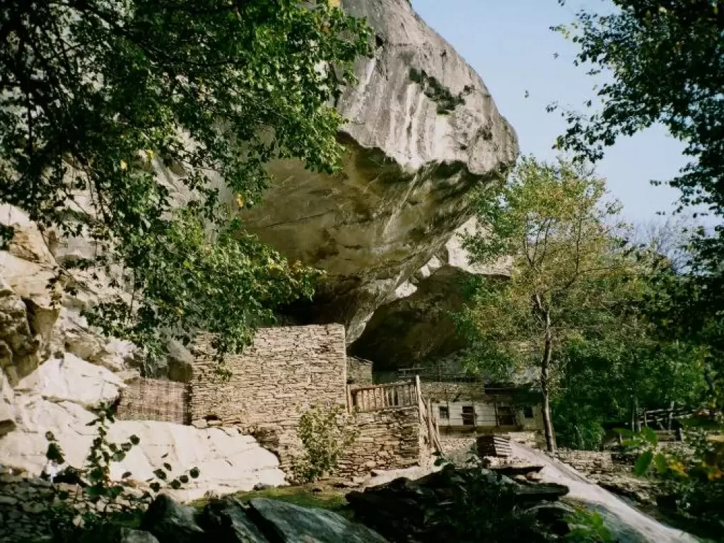
Balma Boves, from Rocchetta
When one speaks of mountains, one immediately thinks of the "gilded and glittering peaks" where "the chamois soars, the avalanche...
T2
6.00 Km
132 m
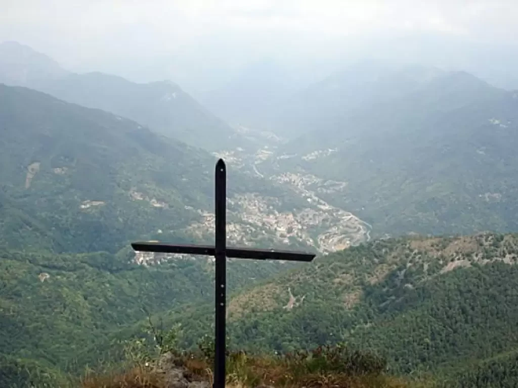
Uja of Calcante
Interesting itinerary at the entrance to the Valli di Lanzo. The ascent to the Uja di Calcante also allows you...
0.00 Km
964 m
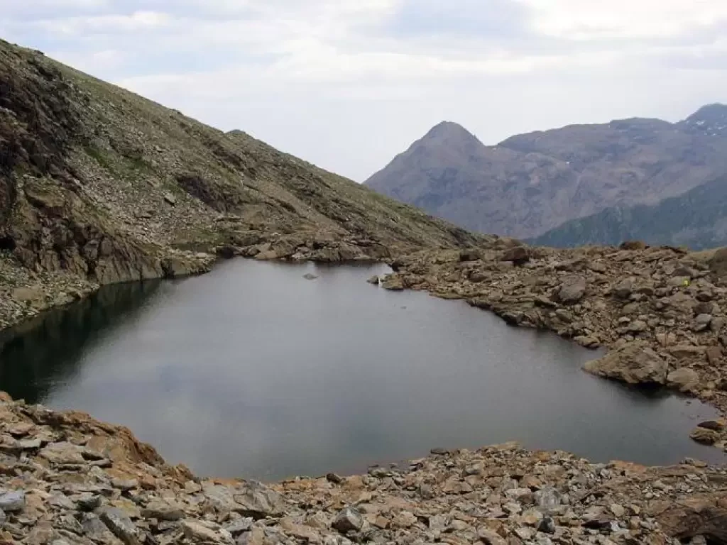
Lake Mercurin, from Pian della Mussa
The Alpe della Rossa trail is a short but pleasant excursion that touches the mountain pastures on the hydrographic left...
T2
7.00 Km
800 m
