Wrote 6 reports, for a total distance of 1,00Km up and a total elevation gain of 2,28Km and 17 hours of walking
Active filters:
User: 1670
Showing 6 results
with active filters
Loading...
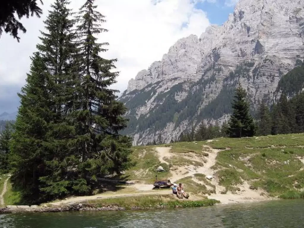
Valagola Lake, from the Pinzolo Campiglio Express 1 car park
This is a very pleasant hike to do as it runs along a forest road within a forest with no...
T2
0.00 Km
472 m
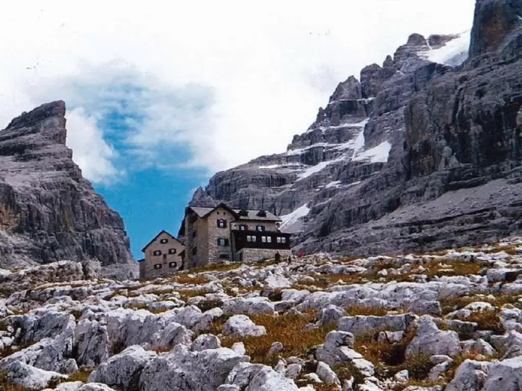
Rifugio Tuckett, from Rifugio Vallesinella
This itinerary takes us to one of the many refuges on the Brenta group, from where it is possible to...
T2
0.00 Km
759 m
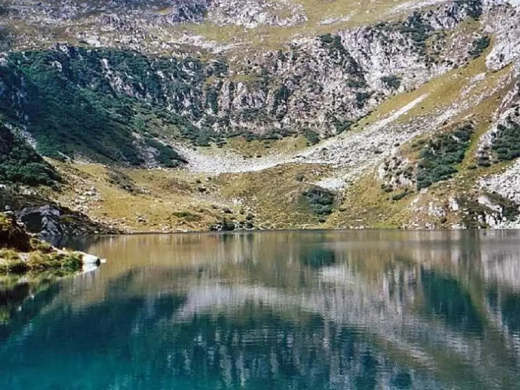
Lake Ritorto, from Campo Carlo Magno
This hike takes us to a mountain lake from which it is possible to see the whole of the Madonna...
T2
0.00 Km
308 m
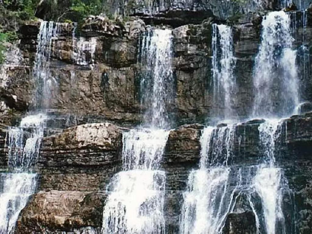
Waterfalls of Vallesinella
It is a beautiful route to do comfortably with your family as the difference in altitude is slight and the...
T2
0.00 Km
157 m
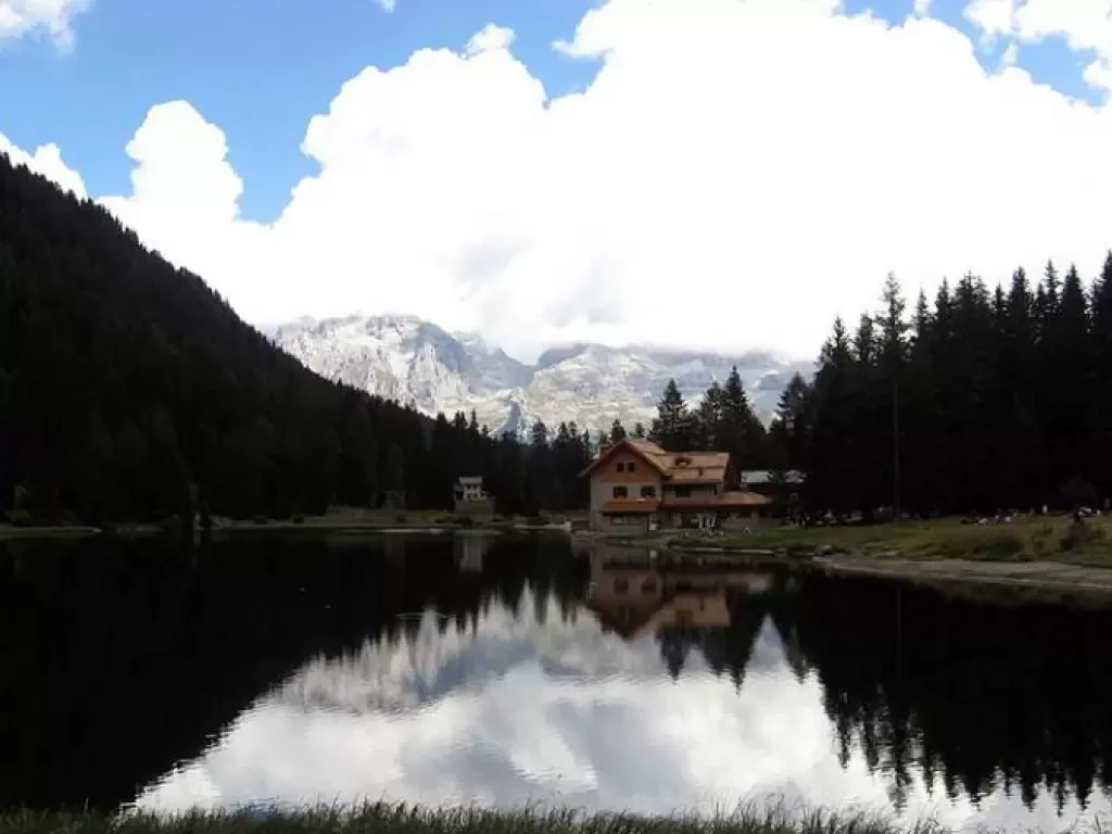
Nambino Lake, from the Nambino Plain
Even for this walk I would recommend it to the whole family, it will certainly be a little harder for...
T2
0.00 Km
134 m
