Alevé Ring, from Casteldelfino


Edited by:
Rita Tarussello
Updated at: 15/12/2025
Description
From the square in front of the town hall, take the road towards the centre of the village until you come to a beautiful basin with a fountain leaning against the wall of a stone house, on the left of which you can see the signs for the Bosco dell'Alevé.
Follow the path steeply uphill until you come out on the SP105. Follow it to the right for about a hundred metres and at the first hairpin bend turn right onto the minor road for the hamlets of Bertines, Serre, Alboin.
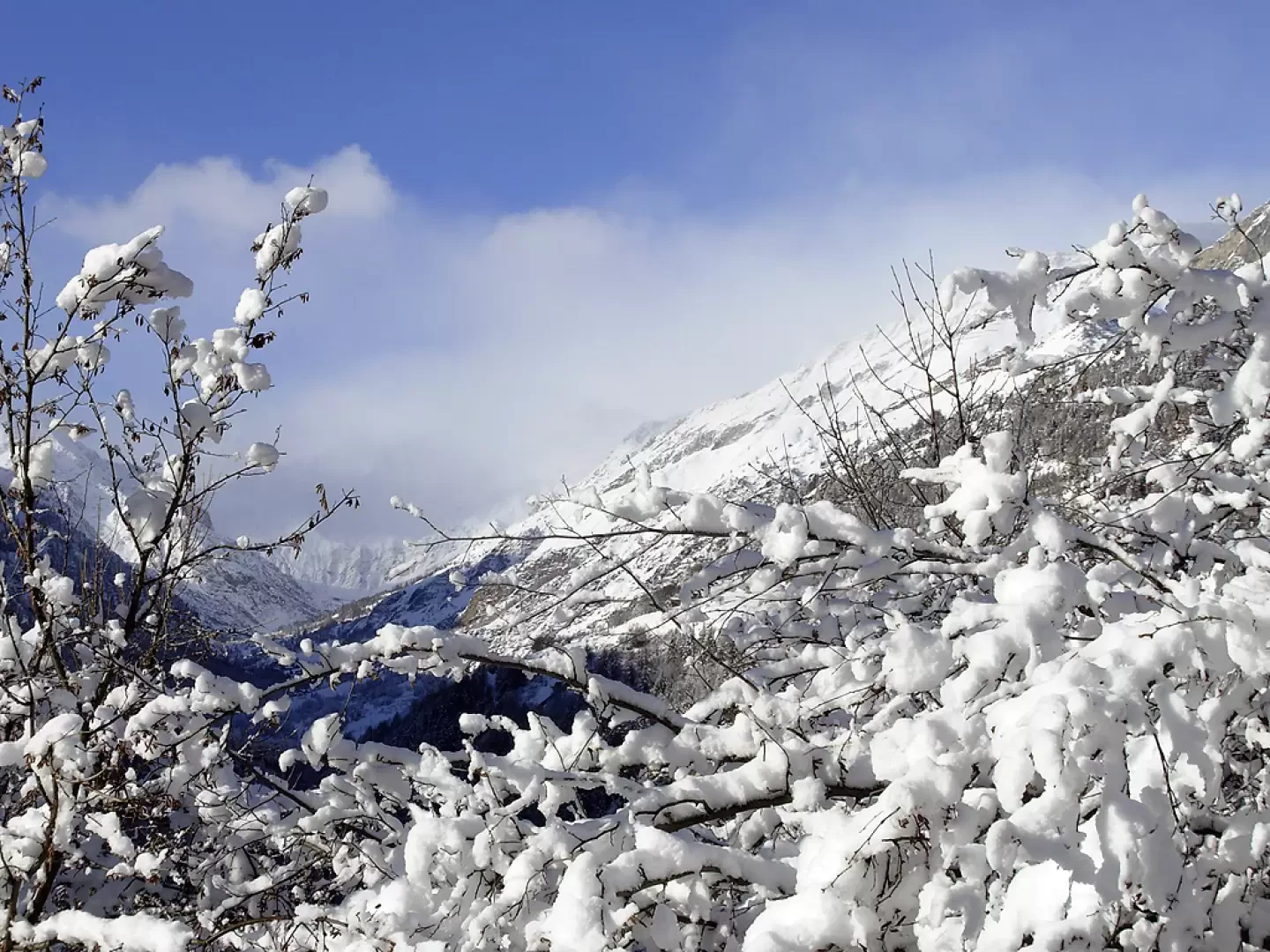
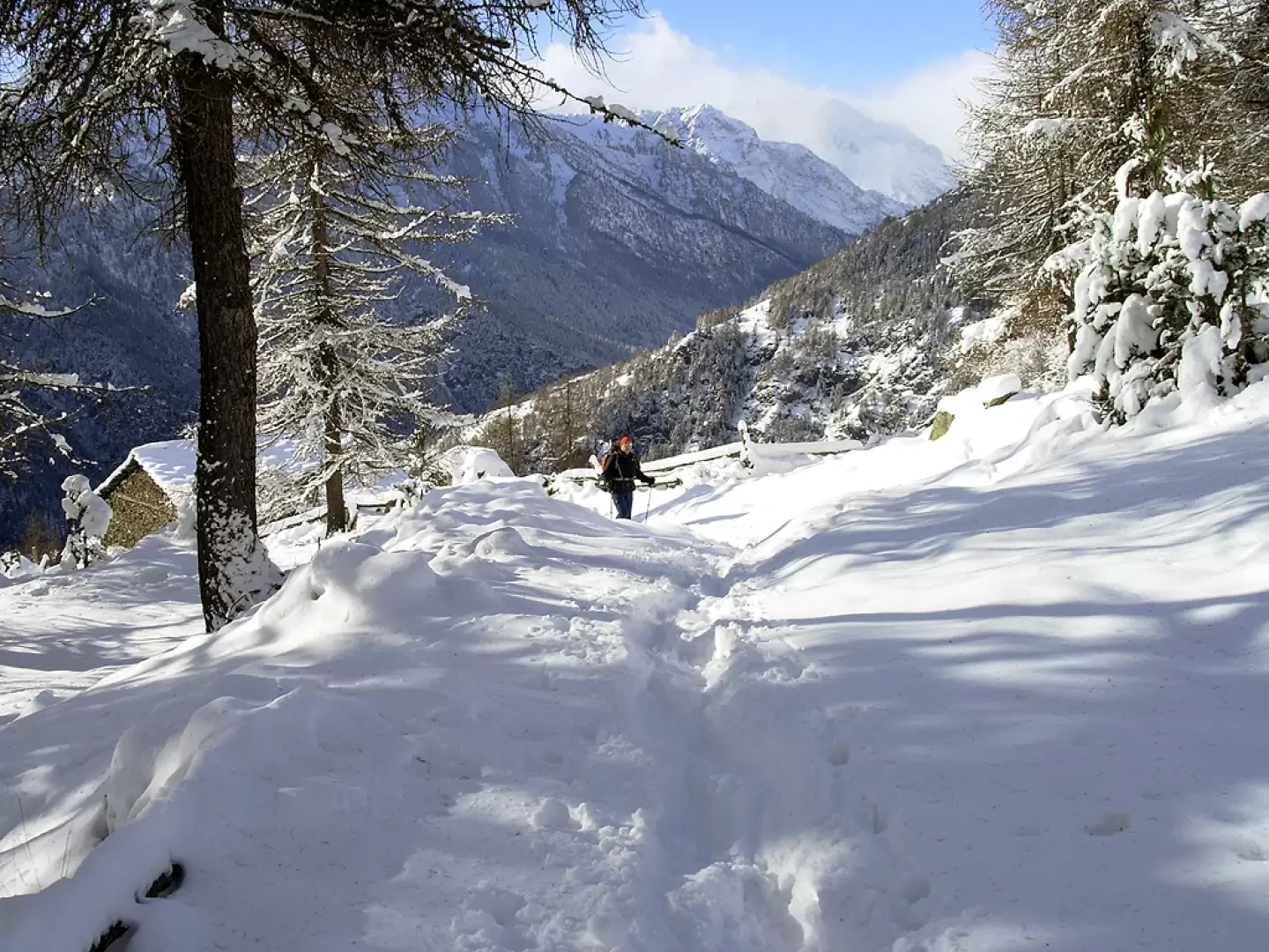
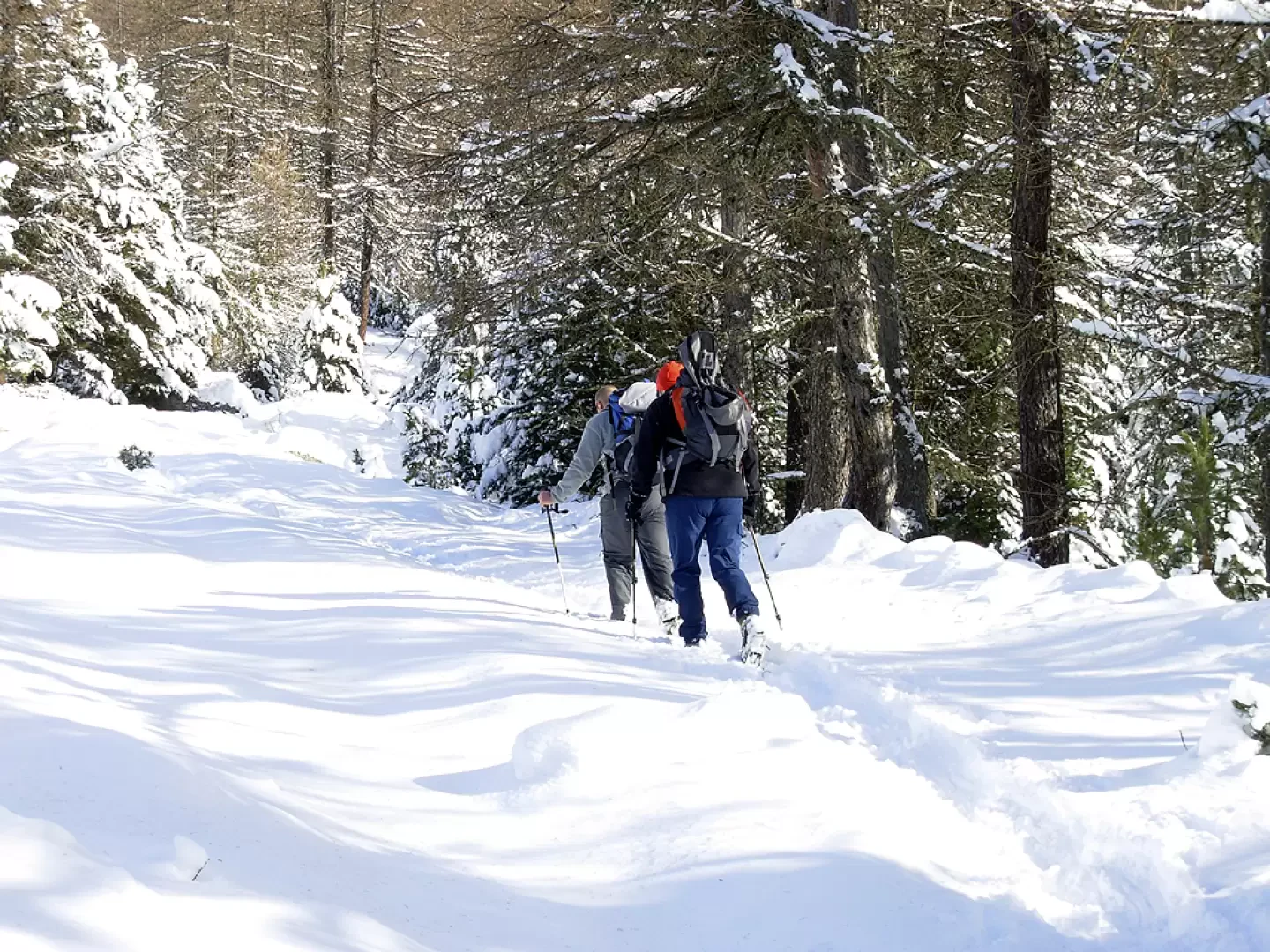
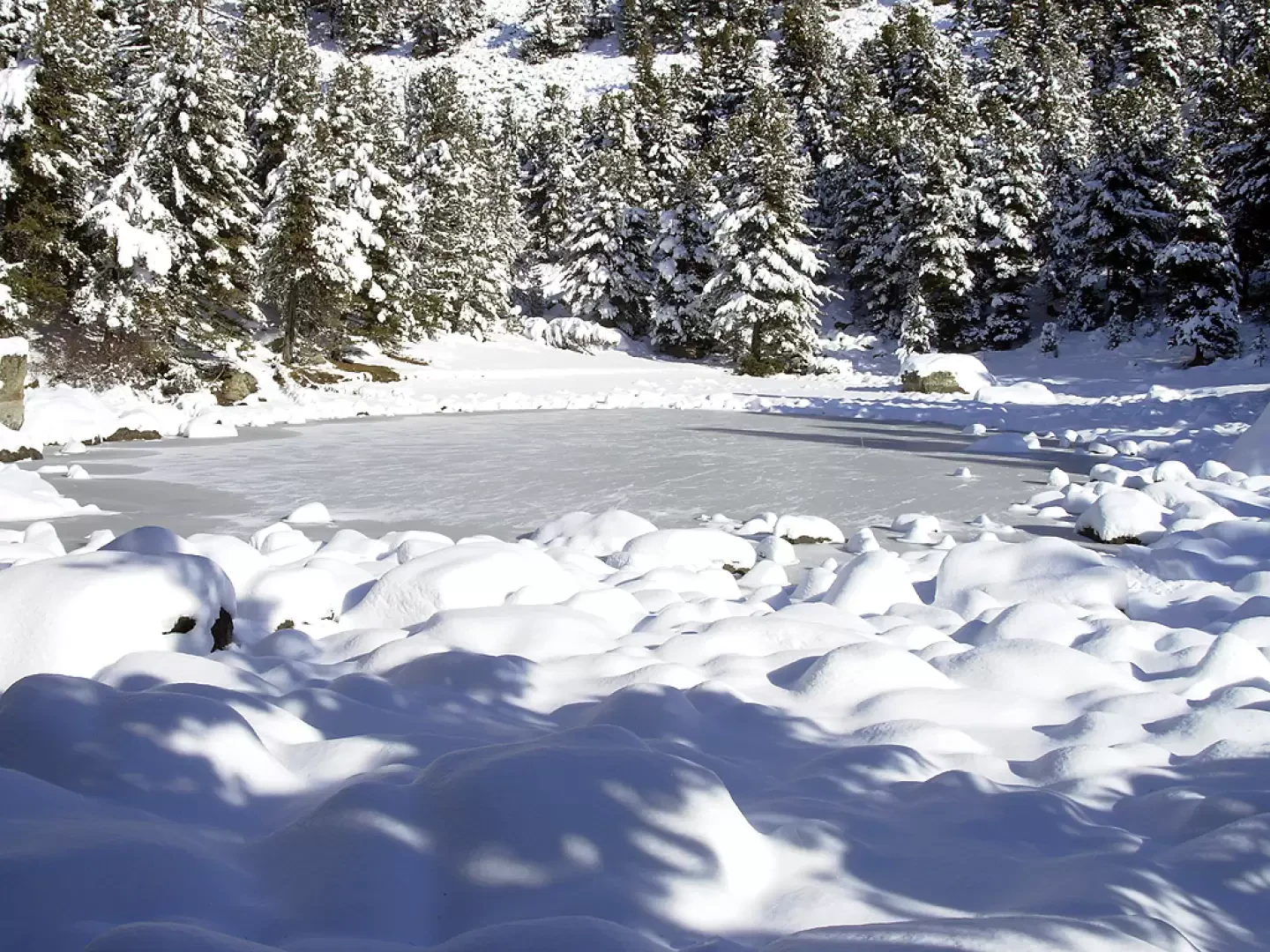
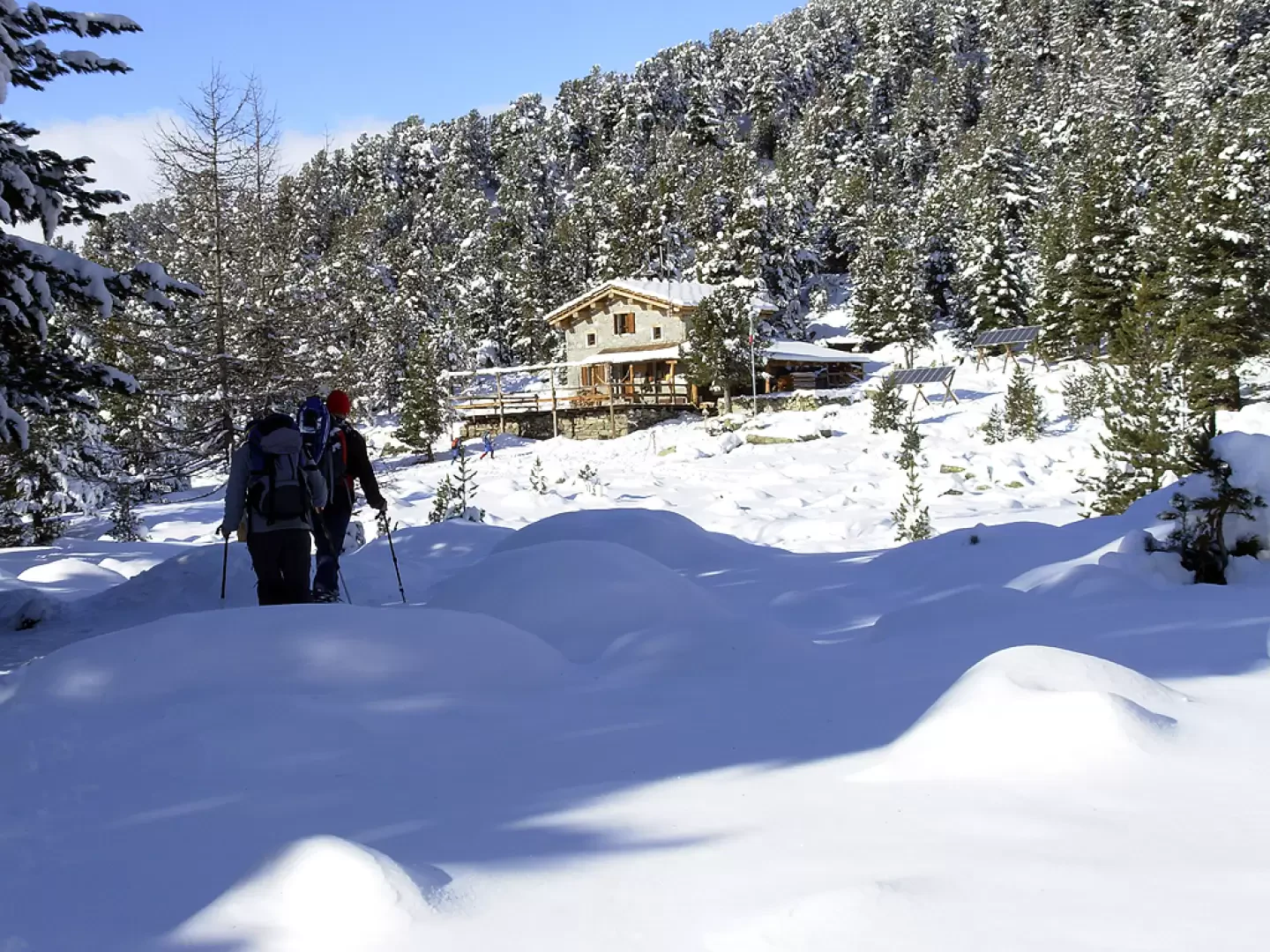
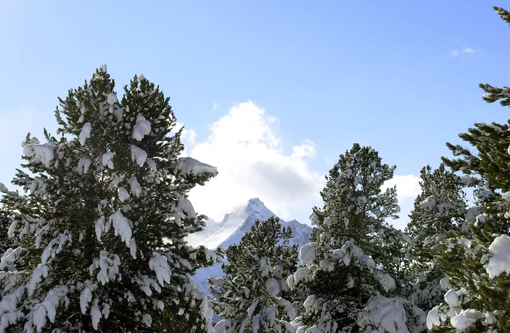
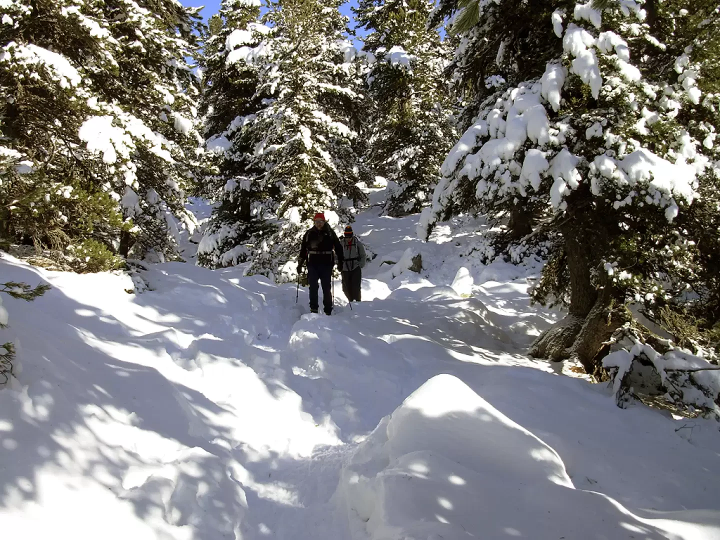
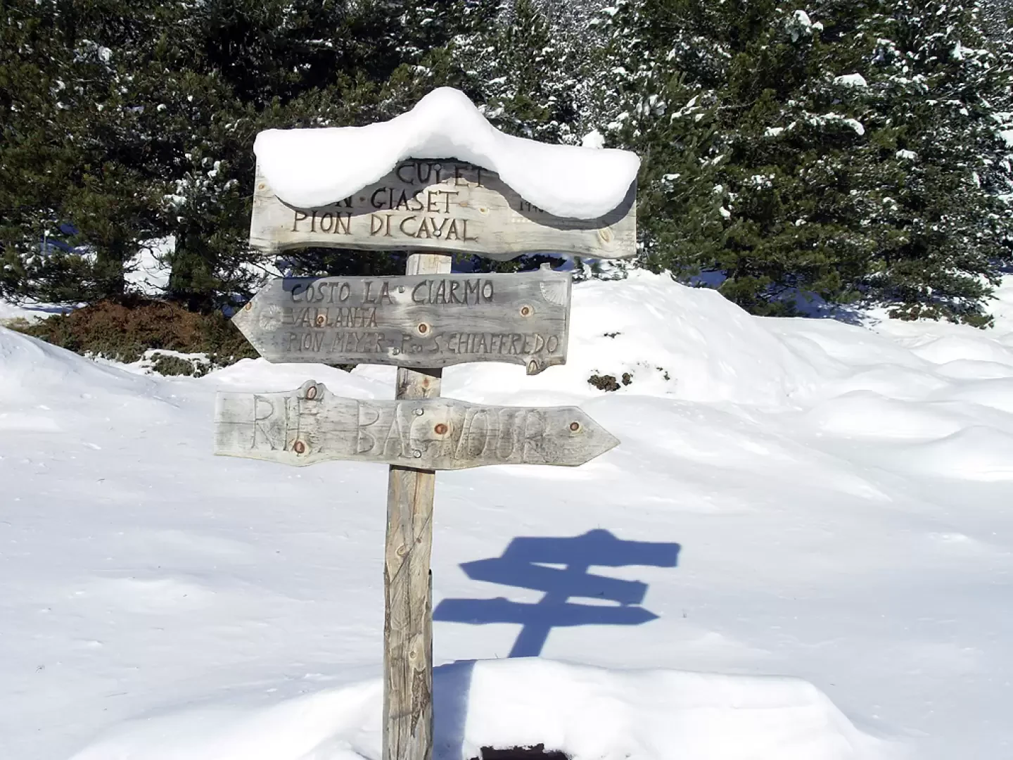
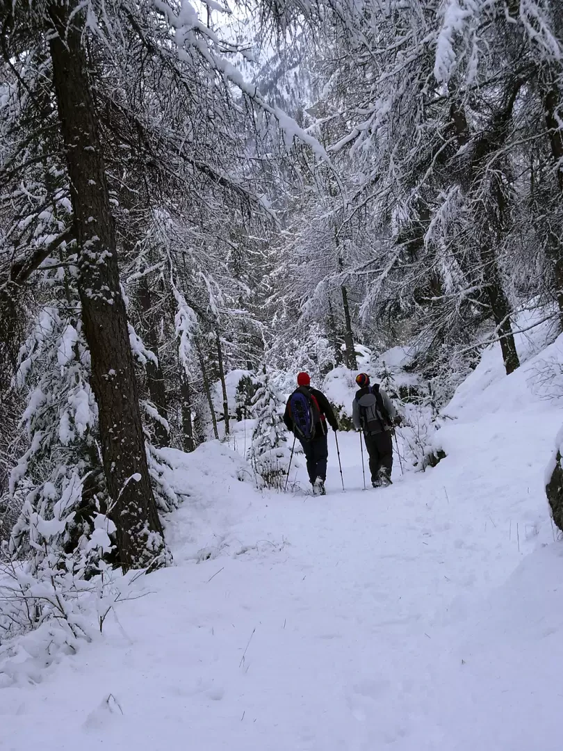
In a few minutes you will reach Bertines (1393m). On the left, after the first two houses, you can see the path to the Alevé marked with wooden signs. At first, the steep and narrow path climbs the steepest slope through shrubs and boulders, then flattens out in the section beside the hamlet of Alboin, where it enters a mixed deciduous and larch forest (1507m, 30'). Turn left onto a wide cart track and climb gradually up to the lower Grange Pralampert (1734 m). The forest now reveals itself in all its splendour, alternating between stretches of dense cembrete and bucolic glades. We come to the upper Grange Pralampert, near which there are signs for Lago Secco and Lago Bagnour, 15' and 35' away respectively. Follow the clear tracks to reach the Bagnour hut (2017 m, 3h30' from the start) located by the lake of the same name. After a stop at the hut, which offers, among other things, a choice of cakes worthy of note, turn SO towards Villaretto - Pontechianale. Now the path descends in small bends in the cembreta to a new wide clearing from which the view of the Pelvo d'Elva is magnificent. From the plateau head south, with a steep descent, to meet the ruins of the Grange Perin at 1,719 m and, continuing, as far as the SP105 near the hamlet of Castello di Pontechianale (4h 30').
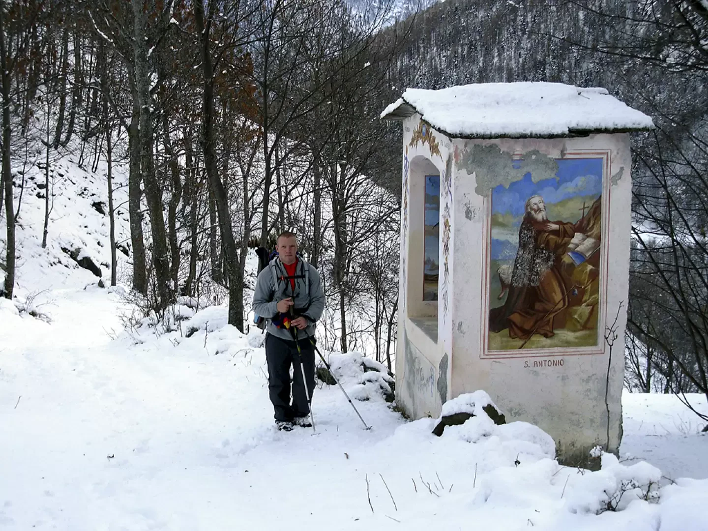
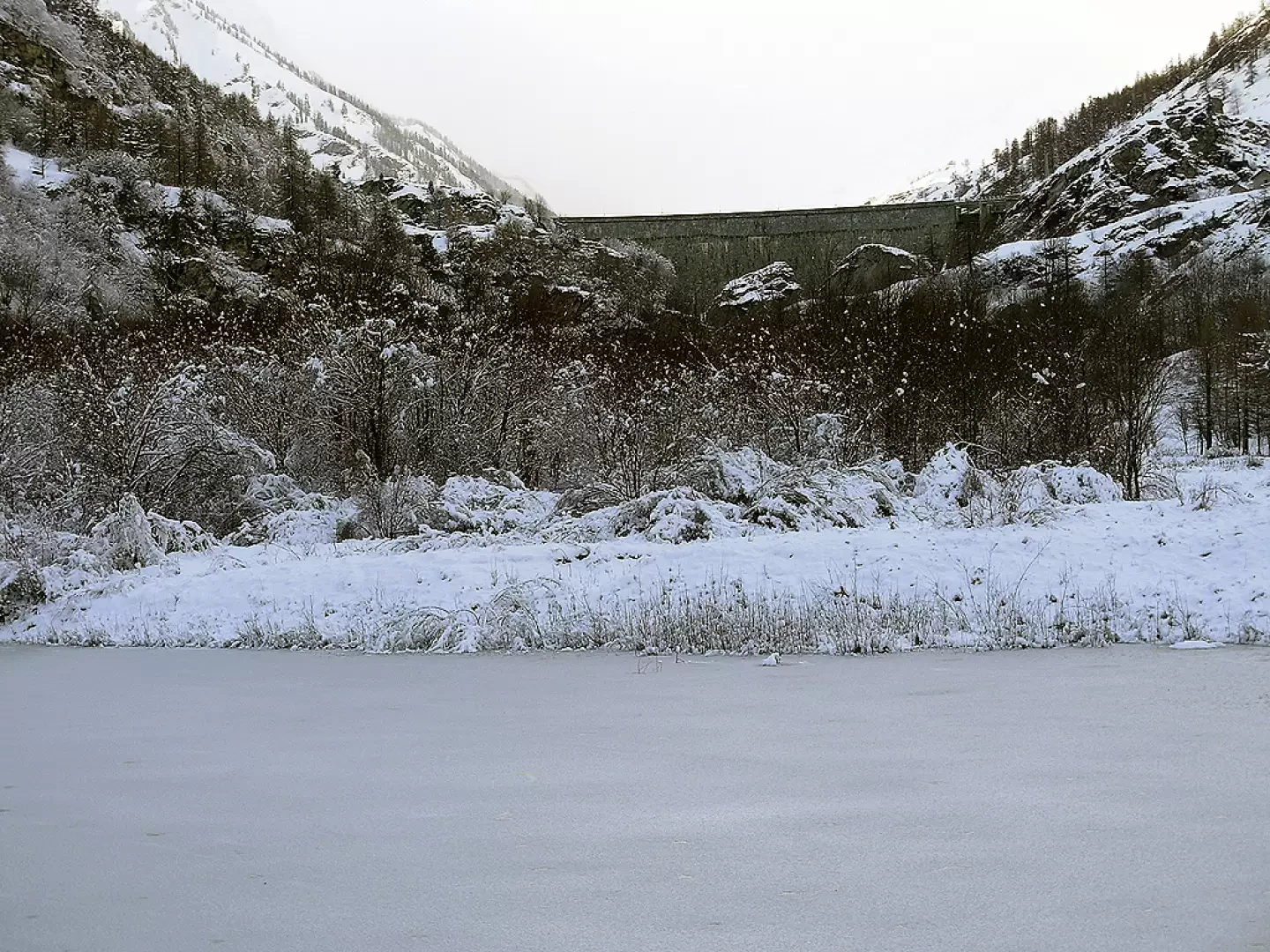
At the provincial road, look for the cart track that descends next to a holiday home and to the left of a finely frescoed votive chapel. Follow the little road to the bottom of the valley, which is closed off on the right by the dam of Lake Pontechianale. Continue over a bridge that crosses the Varaita stream and leads to a path that skirts it on the orographic right until, half an hour further on, another bridge crosses the stream again. Shortly after crossing a meadow, you will reach the village of Casteldelfino (about 6h).
Photo gallery
Comments (0)
Sign in to leave a comment