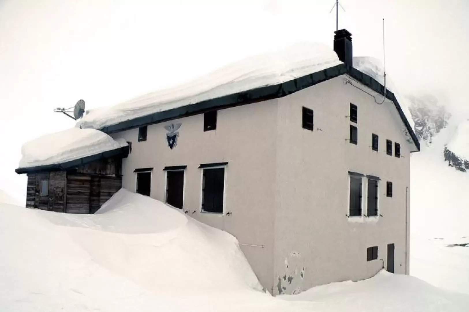
Margaroli Refuge, from Canza

Access
You follow the road to its end at Gravellona Toce and, without exiting the motorway, continue in the direction of Domodossola. Continue on and exit at the junction indicating Val Formazza, pass the municipalities of Crodo and Baceno and arrive in Formazza. You pass the first small hamlets of the municipality to arrive at the hamlet of Canza, which is on the left-hand side of the road and where the signs for the start of the itinerary are located.
Introduction
A fairly popular hike without excessive altitude difference that reaches a hut located on the edge of Lake Vannino. The panorama remains somewhat closed in the upper part due to the itinerary, which takes place between steep rock faces, at the bottom of the valley, while up to Sagersboden there is no lack of beautiful views over the upper Formazza valley towards the area of the Toce waterfall and the mountains on the opposite side of the valley. In the forest that one crosses at the start of the route, one can admire, among other things, numerous large, centuries-old larches of considerable height. The route beyond Sagersboden to the stream, although in the forest, must be tackled with well-balanced snow because of the danger of small avalanches falling from the steep slopes above.
.Description
From the car park on the road, cross the bridge and walk past the small church; turn left to reach an opening in the middle of the houses and, having passed the nearby wooden fountain, you will see on the wall of a house to the right the signs for the continuation of the itinerary. Immediately leave the small village to take a wide mule track bordered by a fence, thus approaching the forest; now follow the track of a small road that enters it with a few gentle hairpin bends and pass under a wide avalanche cone, which is then skirted, a couple of hairpin bends later, in its upper part. Still walking in the forest, you gain height with a few hairpin bends that wind through an area of large boulders and then begin a falsopiano traverse that, after passing a small hut on the left, takes you to Sagersboden (1772m), where you will also find the arrival point of the chairlift that departs from the hamlet of Valdo below. Walk underneath it and cross the start of the ski slope, heading towards the forest and reaching a signpost. Continue walking on the mule track that soon gains height, passing between a few small avalanches that fall from the steep rocky buttresses above, and, looking for the best point of passage, you reach a little stream that you cross. During this stretch, you can see on the left below a nice view of the Underbech alpine pasture located on a small plateau at the foot of the Punta Clostafel. Once you have crossed the stream, you enter a narrow valley that opens out onto a plateau, where, on the left, you leave behind the crossroads marked by a post for the private Myriam hut. Continue along the bottom of the plateau until you reach, at its end, an evident small gorge that you climb up with a courageous climb and find yourself near the "Dighetta" (2072m) from which the wide valley opens out, at the head of which you can already catch a glimpse of the hut that is the destination of this excursion. The route now becomes gentler on the ups and downs and between the small bumps to end under the high ground on which the hut is located, which is reached with a final short climb. Adjacent to the hut, on the right, is the Vannino Alp and a little below, on the left, the large basin of Lake Vannino.